Maps & PrintsBartele Gallery · Langweer
Home / Antique Maps / America

America · 20th century

Old Map of the American Railroad Network and All Weather Roads on Verso, 1931

€ 450

One of a kind: this is the sheet in the photographs. Ships from Langweer, the Netherlands.

Date
1931
Sheet size
52.6 × 83.3 cm (20.7 × 32.8 in)
Condition
Excellent

Condition

Incredibly clean and bright with a small abrasion in the top right corner of the road map where it was adhered to the guide. Issued folding. Light wear to covers.
About this sheet

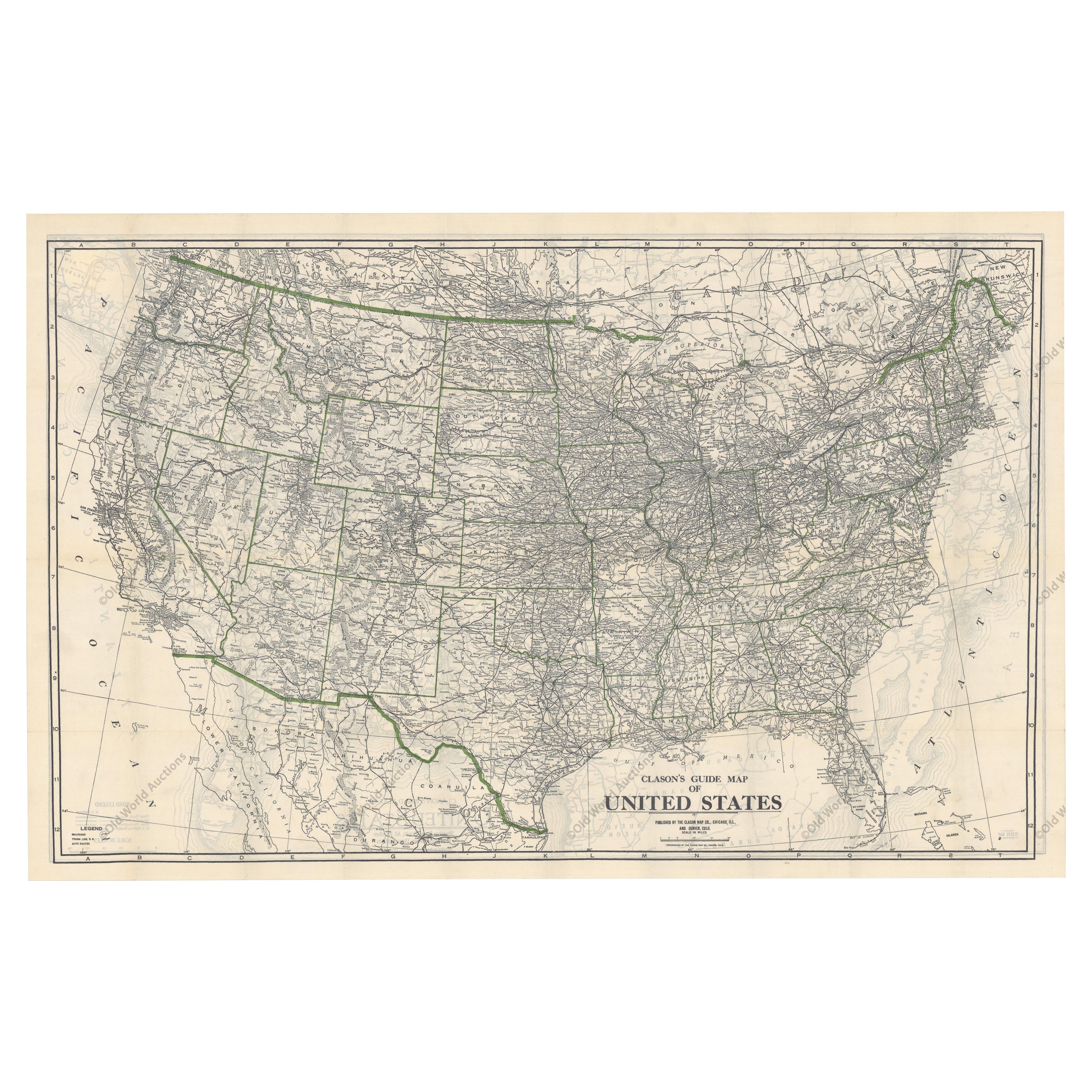
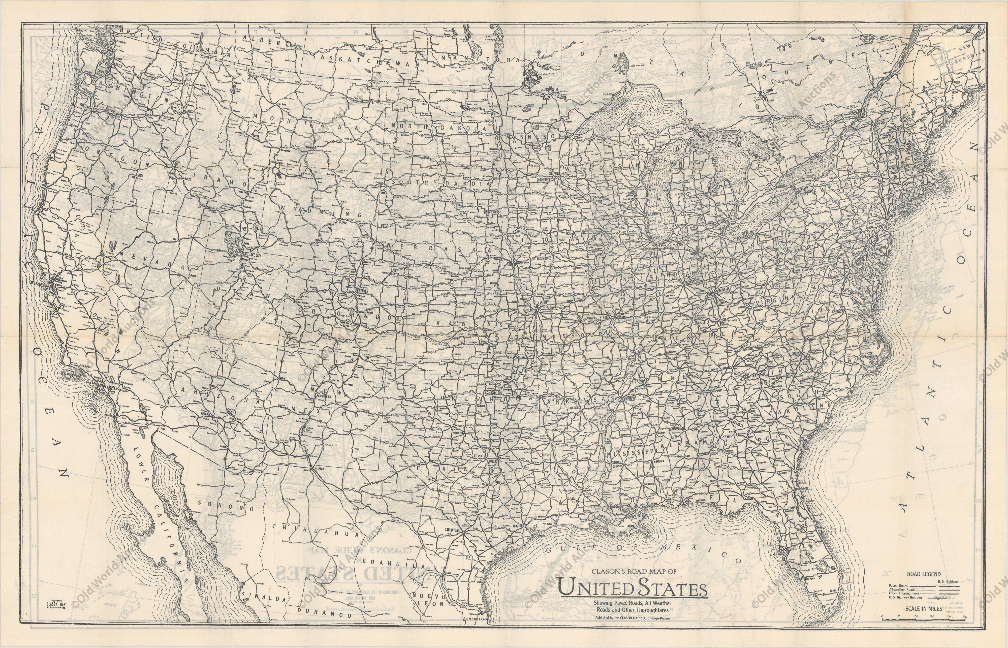
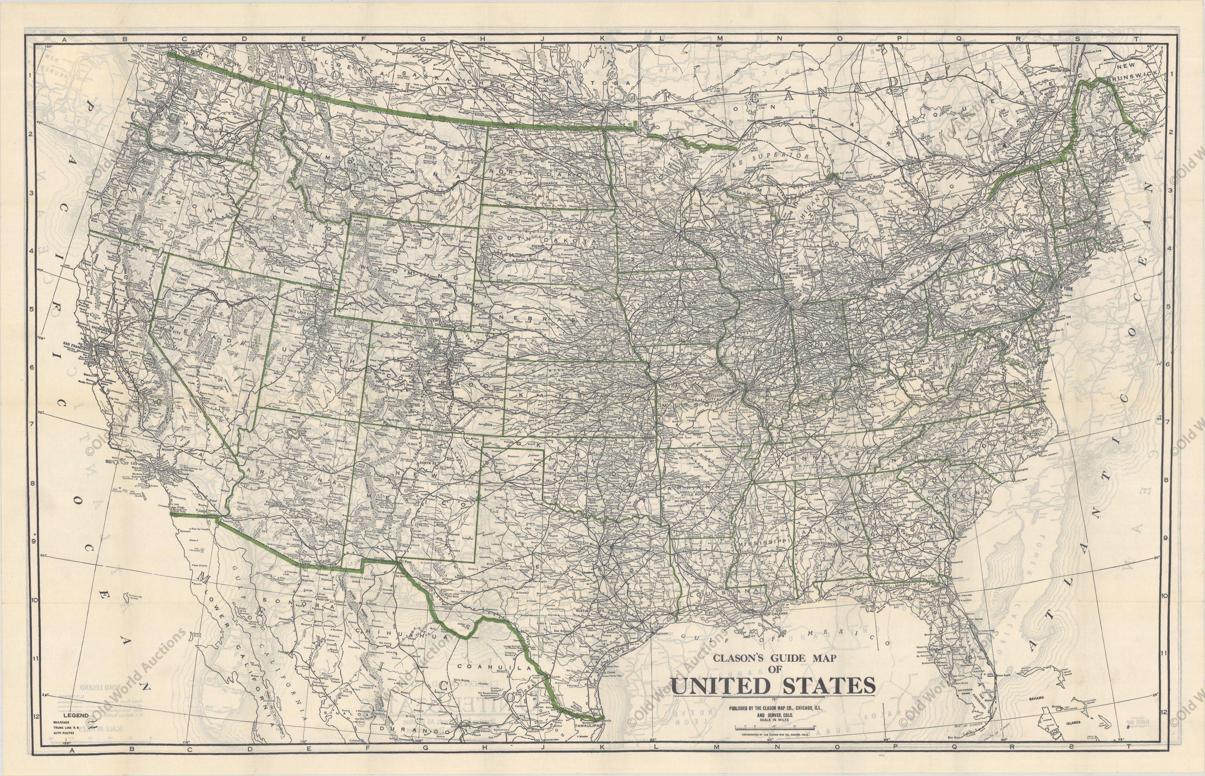
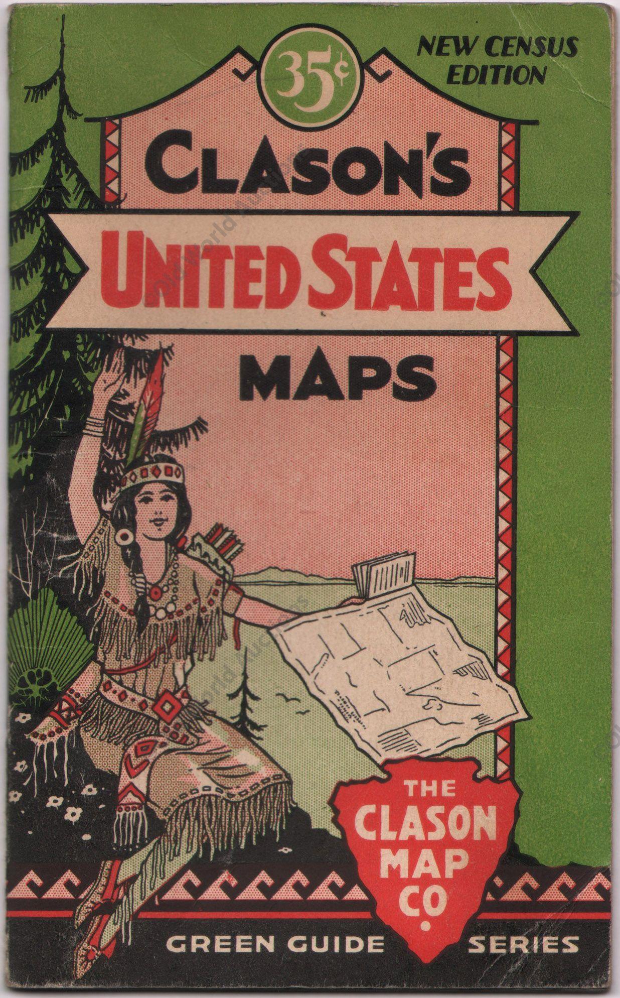
This is the “New Census Edition” of Clason’s United States Green Guide. It features two large maps of the United States on a single sheet.

The recto map shows the complete road network in the country with a legend identifying paved roads, all weather roads, and other thoroughfares. The verso shows states outlined in green with the dense railroad network delineated and individual railroads named. The map sheet is laid into the 32-page guidebook, which includes information on National Monuments, a table of distances, list of states and cities, and more.

The pictorial covers feature an Indian maiden and priced at 35 cents (4.0 x 6.5”). This was the last year that the “green guide” was published as the Clason Company fell victim to the Great Depression in 1932.

More from America

Ask about this sheet

Old Map of the American Railroad Network and All Weather Roads on Verso, 1931
1931 · € 450
We reply by email, usually within one working day.