maps-prints.com
✦
Black Friday Sale
Friday 20 to Monday 30 November: up to 30% off original antique maps and prints
The terms
- Up to 30% off selected original antique maps and prints. Every piece is an original, printed in its own time; none is a reproduction.
- The sale runs from Friday 20 November to Monday 30 November. Sale prices shown here apply from Friday 20 November; until then pieces are sold at their regular price.
- Free FedEx shipping on qualifying orders placed on our own websites: USA, Canada, UK and Europe over $500 / €450; rest of the world over $750 / €675. Smaller orders pay our normal shipping rate.
- Orders placed from 15 to 30 November ship from 1 December, in time for Christmas. Our shipping partner is InXpress.
- Each piece is unique, so the sale is while stock lasts.
Collection:AllAmericanSea chartsMilitaryNatural historyFashionArchitectureBotanicalSacredEast Indies
Sale prices apply from Friday 20 November. Save the pieces you like with the heart and come back on Friday.
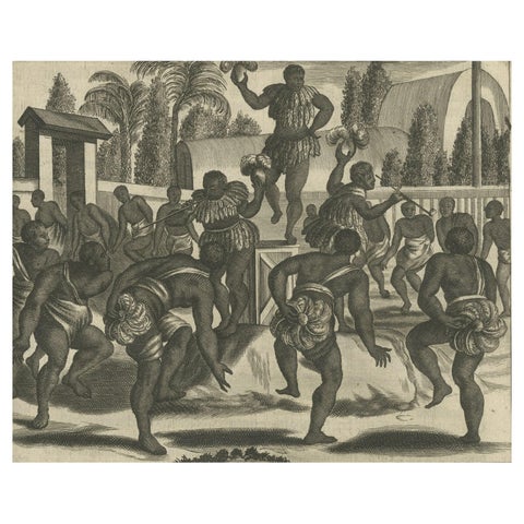 Ritual Dance in Brazil in the 17th Century on a Copper Engraving by Montanus
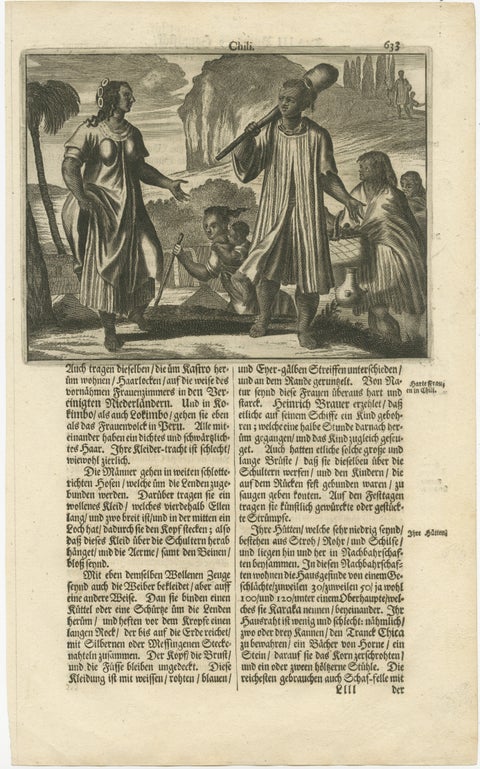 Scenes from 17th Century Chile: A Glimpse of Early Indigenous Cultures, 1673
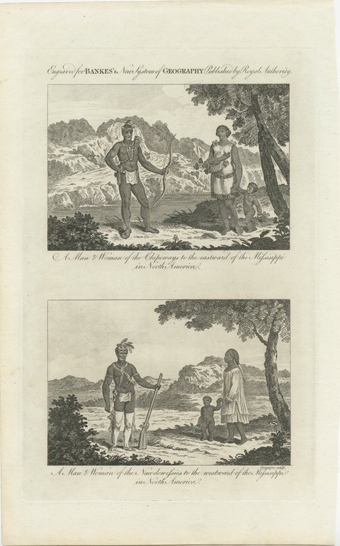 Engraved Representations of North American Tribes around the Mississippi, 1787
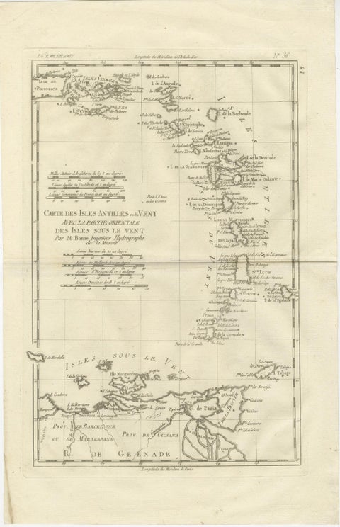 Caribbean & Lesser Antilles – Enlightenment Map by Rigobert Bonne, c.1780
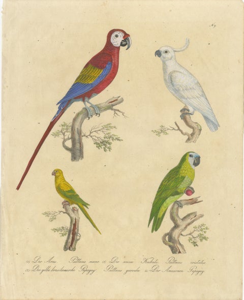 Macaw, Cockatoo & Amazon Parrots, Brodtmann Hand-Colored Lithograph, 1816
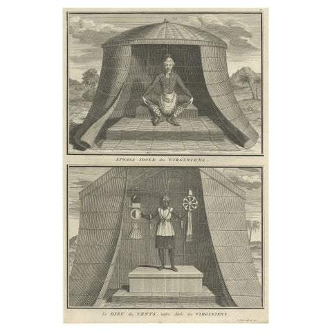 Engraving of Idols of Secotam Village in Virginia 'or now North Carolina', 1721
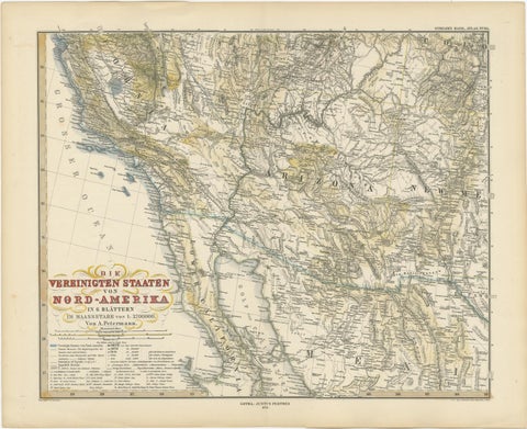 Antique Map of Part of the United States Including Lower California & Arizona
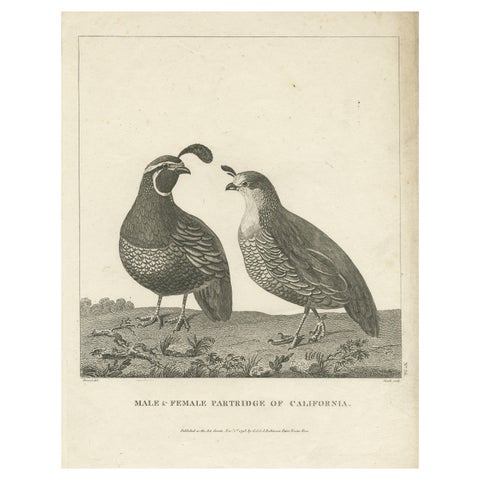 Antique Print of a Male and Female Partridge of California
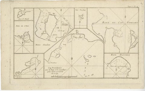 Antique Map of Cape Providence & St. David’s Cove – Strait of Magellan, 1774
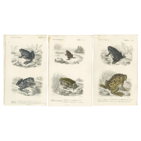 Set of 3 Antique Prints of Frogs and Toads
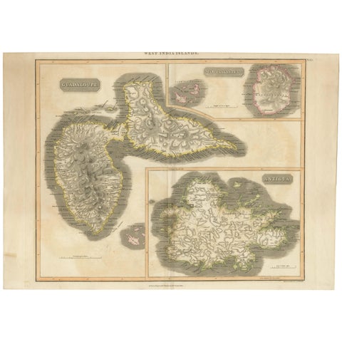 Large Antique Map of Guadeloupe and Antigua with Adjacent Isles, 19th Century
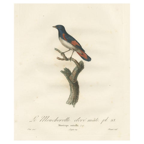 1807 American Redstart Illustration - 'Le Moucherolle doré mâle' Old Bird Print
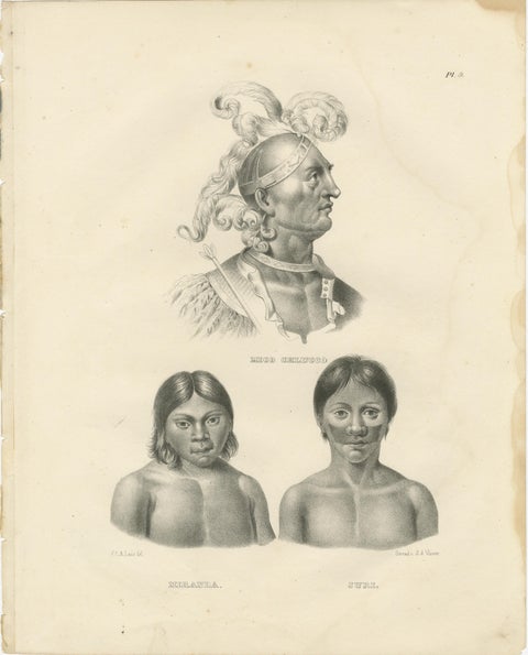 Portraits of Mico Chlucco, Miranda, and Juri by Karl Joseph Brodtmann, 1836
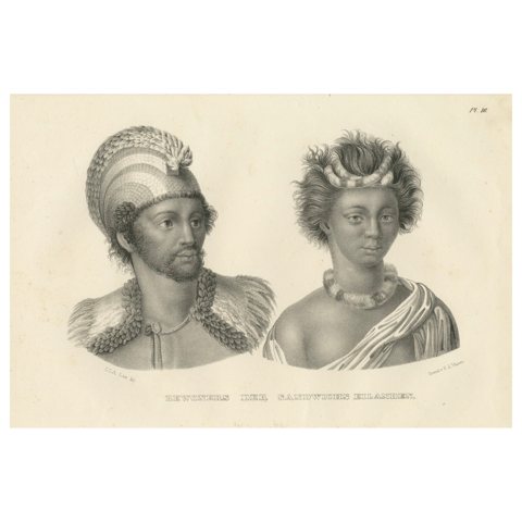 Inhabitants of the Sandwich Islands (Hawaii) by Brodtman, 1835
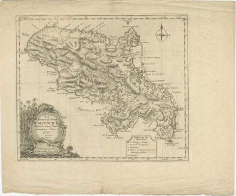 18th Century Original Dutch Map of Martinique in The West Indies by Isaak Tirion
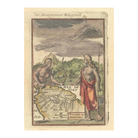 1684 Mallet Map of Amazon River & Kingdom of Amazons – Hand Colored, Miniature
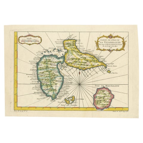 1758 Bellin Map of Guadeloupe and Marie-Galante – Caribbean Islands
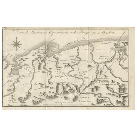 Antique Map of the Environs of Cap-Français, Saint-Domingue, c.1760
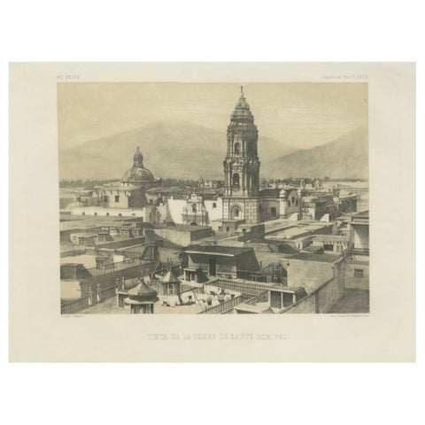 Santo Domingo Tower Lima Peru – Antique Lithograph c.1865
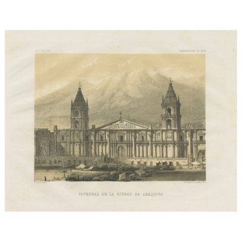 Cathedral of Arequipa Peru – Antique Architectural Lithograph c.1865
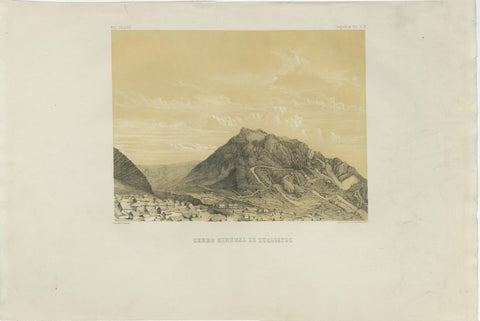 Peru Mining Mountain of Hualgayoc – Antique Lithograph, 1865
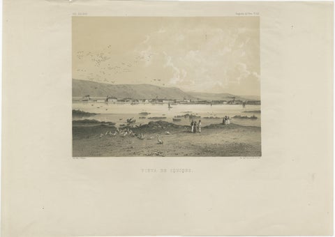 Iquique Peru (Now Chile) – Antique Coastal City Lithograph c.1865
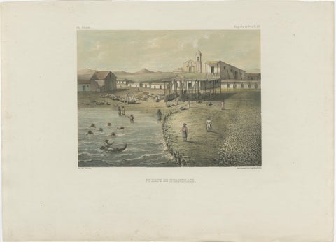 Antique Lithograph View of Puerto de Huanchaco, Peru c.1865
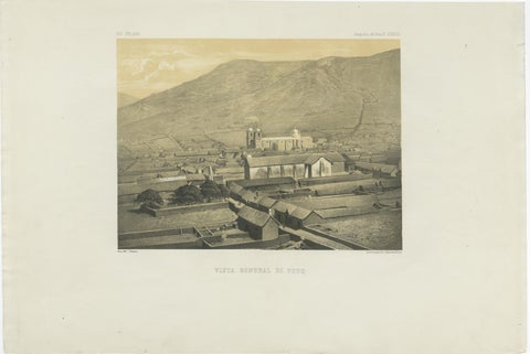 Puno Peru Antique City View Lithograph – Panoramic Scene c.1865
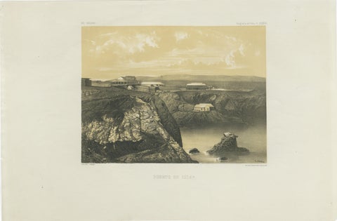 Puerto de Islay Peru – Antique Coastal Port Lithograph c.1865
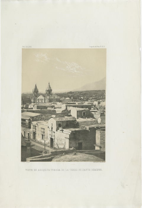 Antique lithograph view of Arequipa from the Tower of Santo Domingo – 1865
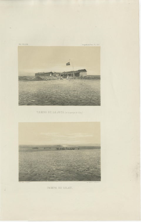 Antique lithograph views of Tambo de la Joya and Pampa de Islay, Peru – 1865
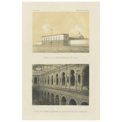 Antique lithograph views of Lima – Penitentiary & San Francisco Convent, 1865
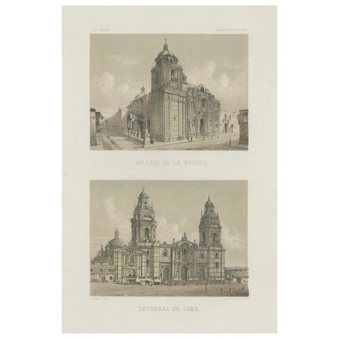 Hand-colored lithograph views of the Cathedral and La Merced Church, Lima – 1865
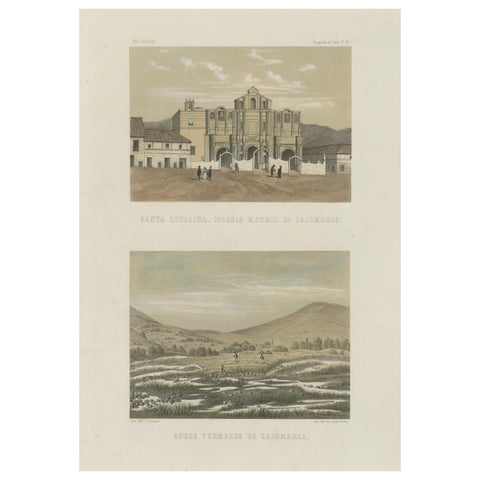 Hand-colored Views of Cajamarca – Santa Catalina Church & Thermal Springs, 1865
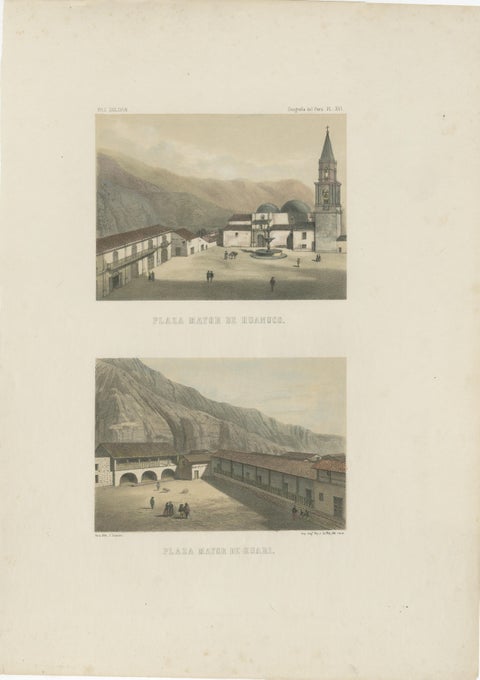 Hand-colored lithograph views of Huánuco & Huari, Peru – Plazas Mayores, 1865
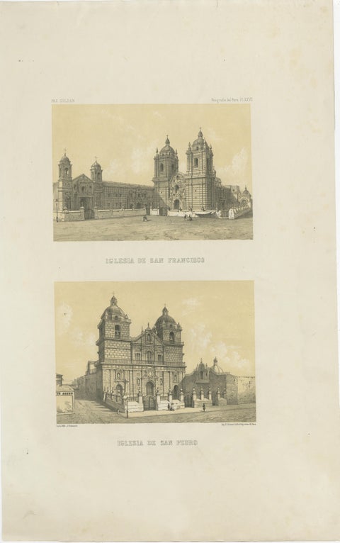 Antique Views of Lima – Iglesia de San Francisco & Iglesia de San Pedro, 1865
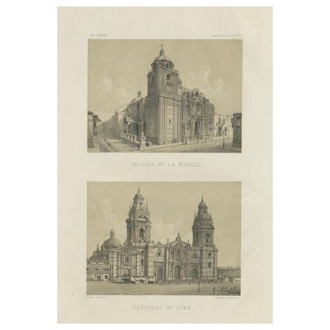 Antique lithograph views of the Cathedral and La Merced Church, Lima – 1865
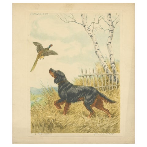 Vintage Lithograph “Setter and Pheasant” by Paul Wood – New York, 1930s
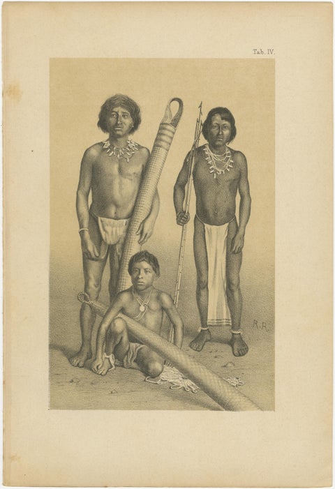 Suriname Indigenous People & Tribal Objects - Ethnographic Lithographs 1888
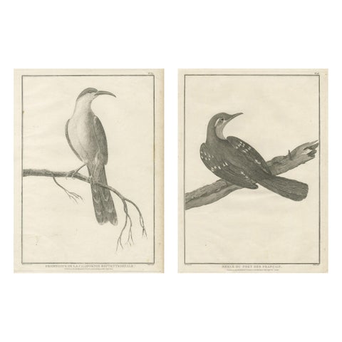 California Birds – Northern California Honeyeater & Port Français Thrush, c.1798
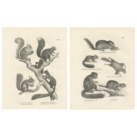 Antique Lithographs of Squirrels & Flying Squirrels, 19th Century
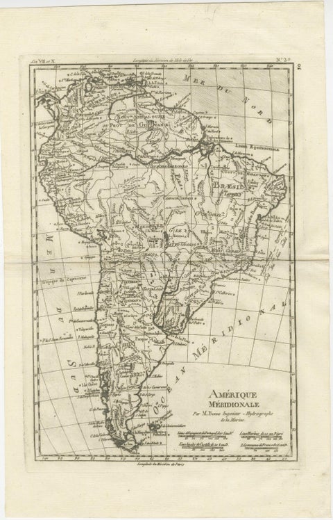 South America – Original Antique Enlightenment Map by Rigobert Bonne, c.1780
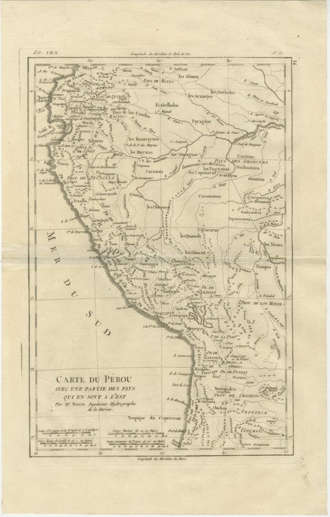 Peru & Upper Amazon – Enlightenment Map by Rigobert Bonne, c.1780
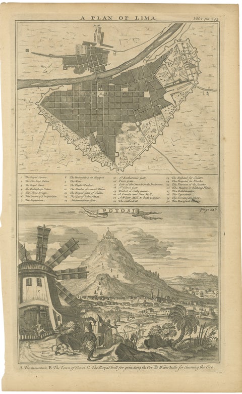 Original Antique Plan of Lima and View of Potosí by A. & J. Churchill, c.1744
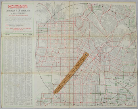 Antique E-Z Guide Map of Los Angeles with Rotating Locator, 1927
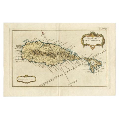 Old Map of the island of Saint Christopher or St. Kitts in the Caribbean, c.1765
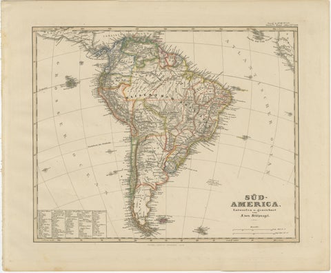 Historic 1858 Map of South America – Pre-Border Consolidation
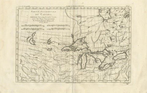 Great Lakes Antique Map — Canada, Midwest USA, Enlightenment Era, Bonne c.1780
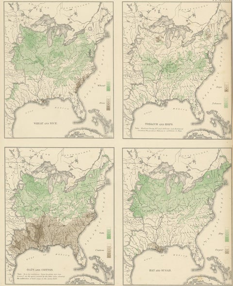 Antique US Crop Chart by Francis A. Walker, Lithographed Maps, 1874
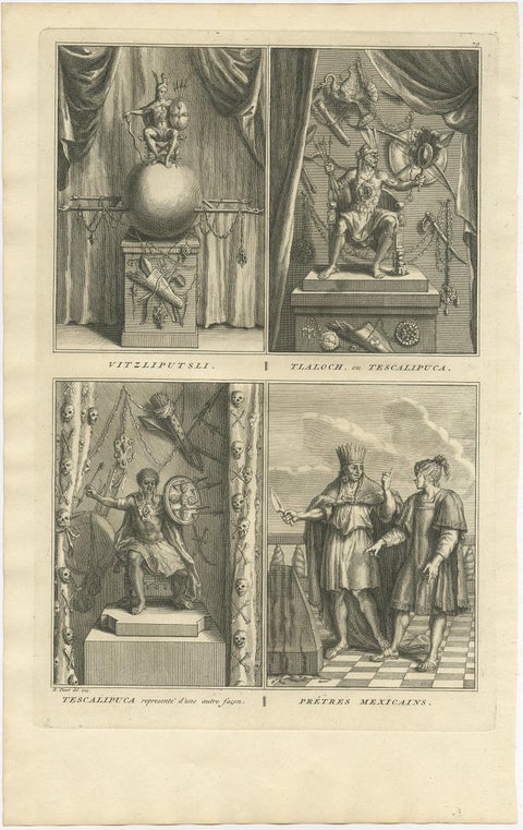 Old Print of Aztec deities Vitzliputsli, Tlaloch or Tescalipuca, Mexico, 1723
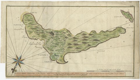 Rare Handcolored Map of Isle de Juan Fernandes 'Robinson Crusoe Island', Chili
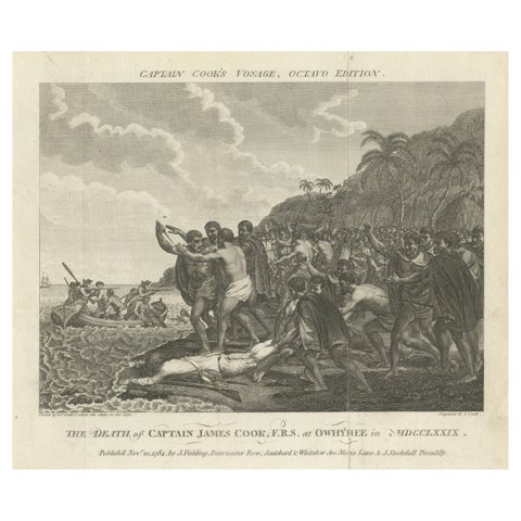 Engraving of The Death of Captain James Cook at Kealakekua Bay, Hawaii, 1784
Sharing the sale? Download the Black Friday banners.