Black Friday starts Friday 20 November: up to 30% off, plus free FedEx shipping on qualifying orders →
Orders placed from 15 to 30 November ship from 1 December, in time for Christmas. Our shipping partner: InXpress.
Maps & PrintsBartele Gallery · Langweer
Home / Antique Maps / Africa

Africa

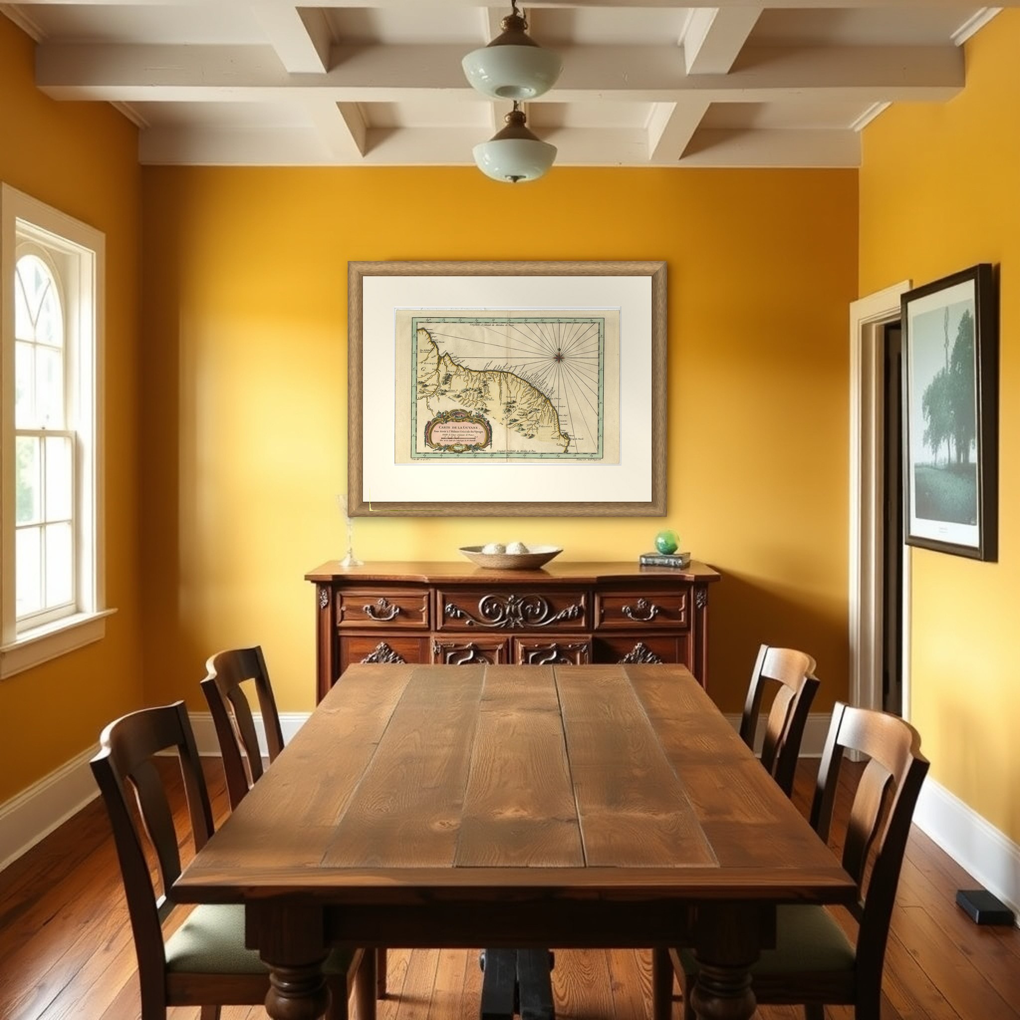
Old Map of Guyana, Suriname and French Guiana with Paramaribo and Cayenne, c1760

€ 450

Original antique · The actual sheet photographed · Certificate of authenticity on request · Sold unframed · Worldwide shipping from € 15 (rates)

Sheet size
25.2 × 37.2 cm (9.9 × 14.6 in)
Condition
Good
Reference
PCT-57942
What the condition grades mean
Excellent
Bright and clean, with no faults worth mentioning.
Very good
Only light signs of age, such as faint toning.
Good
Normal signs of age for a sheet of this period: toning, some foxing, small marks or neat old repairs.
Fair
Clear faults such as staining, tears or repairs, priced to match.

Every fault we see is written in the condition note, and the whole sheet is shown uncropped in the photos.
About this sheet

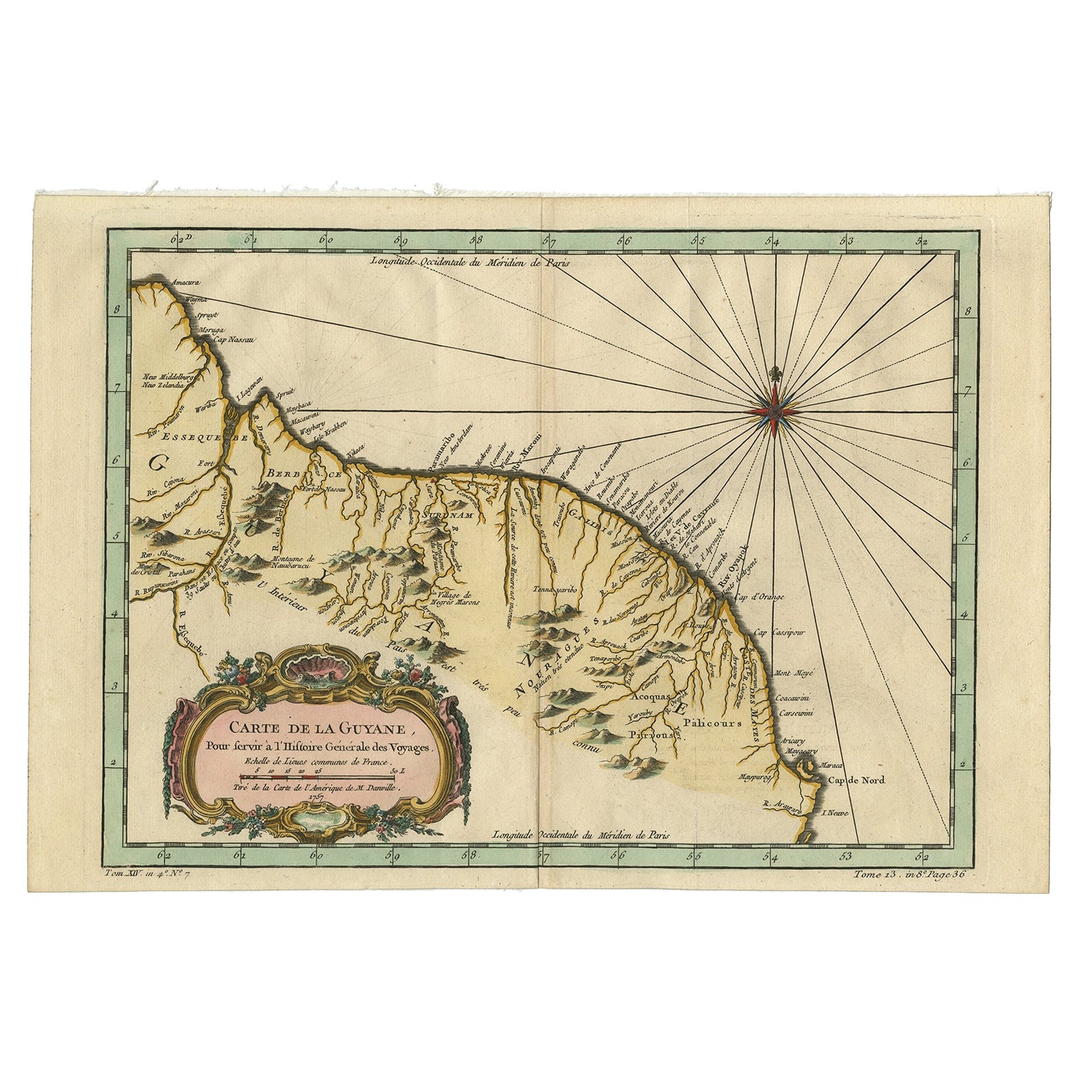
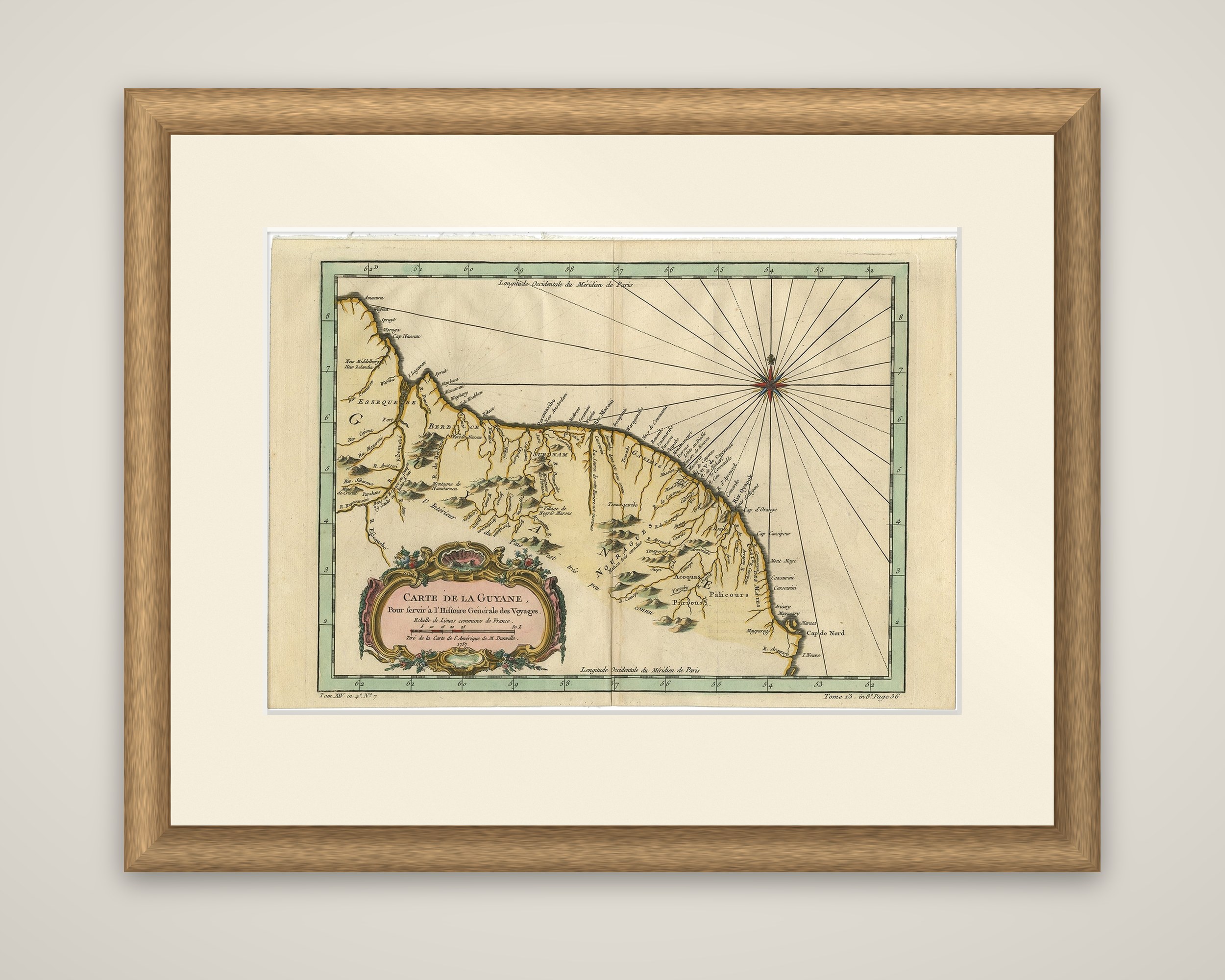
Carte de la Guyane, a small copper engraved map of the coast of the Guianas by Jacques-Nicolas Bellin, made for the Histoire générale des voyages and dated c.1760. The cartouche reads "Carte de la Guyane, pour servir à l'Histoire Générale des Voyages" and credits the source as "Tirée de la carte de l'Amérique de M. d'Anville". The sheet is printed in black and finished with hand-colored outlines and a broad green border.

The map shows the Atlantic coast of South America from the mouth of the Orinoco region in the northwest to Cabo do Norte in the southeast, covering what is now Guyana, Suriname and French Guiana. Essequebo, Berbice, Suriname and Cayenne are named along the coast, rivers run inland from the shore, and hills are drawn in profile across the interior, with the lands of the native peoples marked in script. A large compass rose with radiating rhumb lines fills the sea at the upper right, and a rococo cartouche with garlands stands at lower left. The volume and page references appear along the lower border.

Bellin (1703 to 1772) was a French hydrographer and geographer whose maps and charts were issued in great numbers over a career of more than fifty years.

More from Africa

Ask about this sheet

Old Map of Guyana, Suriname and French Guiana with Paramaribo and Cayenne, c1760
Ref. PCT-57942 · € 450
We reply by email, usually within one working day.

Your favorites

Saved in this browser. Email the list to yourself to keep it on any device.

We use your email to send this list and, only if you tick the box and confirm, for occasional new arrivals. Every email has an unsubscribe link. Bartele Gallery, the Netherlands.

Powered by SiteKeys