maps-prints.com
✦
Black Friday Sale
Friday 20 to Monday 30 November: up to 30% off original antique maps and prints
The terms
- Up to 30% off selected original antique maps and prints. Every piece is an original, printed in its own time; none is a reproduction.
- The sale runs from Friday 20 November to Monday 30 November. Sale prices shown here apply from Friday 20 November; until then pieces are sold at their regular price.
- Free FedEx shipping on qualifying orders placed on our own websites: USA, Canada, UK and Europe over $500 / €450; rest of the world over $750 / €675. Smaller orders pay our normal shipping rate.
- Orders placed from 15 to 30 November ship from 1 December, in time for Christmas. Our shipping partner is InXpress.
- Each piece is unique, so the sale is while stock lasts.
Collection:AllAmericanSea chartsMilitaryNatural historyFashionArchitectureBotanicalSacredEast Indies
Sale prices apply from Friday 20 November. Save the pieces you like with the heart and come back on Friday.
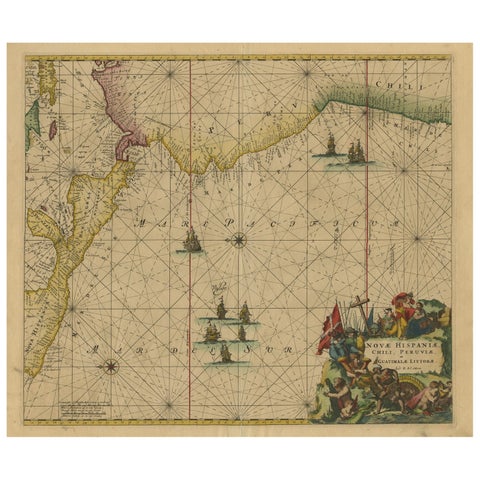 Sea Chart of Central America and the Northwest Coast of South America, ca.1745
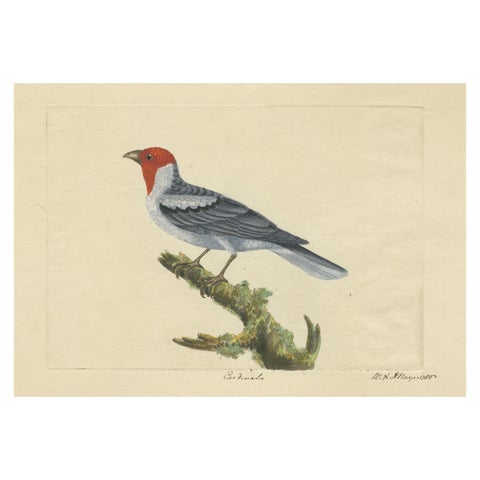 Red-Crested Cardinal - Antique Hand-Colored Print with William Hayes Sign, 1780
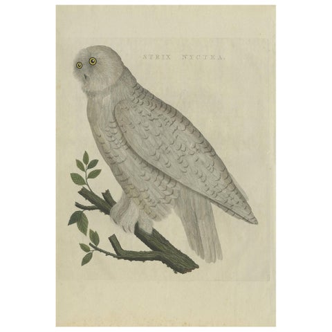 Antique Bird Print of the Snowy Owl by Sepp & Nozeman, 1809
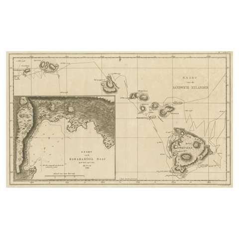 Map of the Hawaiian Islands with a Large Inset of Karakakooa Bay, 1803
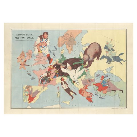 WWI Satirical Cartoon Map: 'Kill That Eagle' by J.H. Amschewitz, 1914
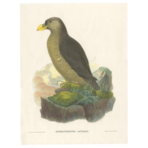 Original Antique Bird Print Depicting Latham's Guillemot, 1868
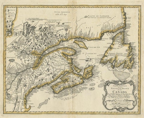 Antique Map of New England and Eastern Canada by Homann Heirs, circa 1755
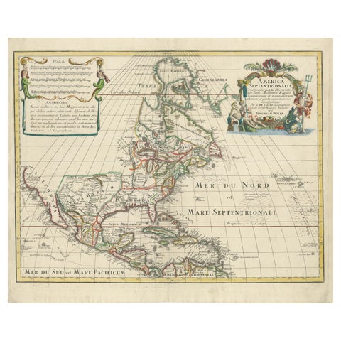 Scarce Latin Edition of Guillaume Delisle's 1700 Map of North America
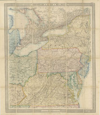 American Civil War “Seat of War” Map, Published Just After Bull Run, 1861
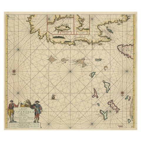 Original Antique Sea Chart - the Northern Part of Hispaniola, Western Cuba, 1684
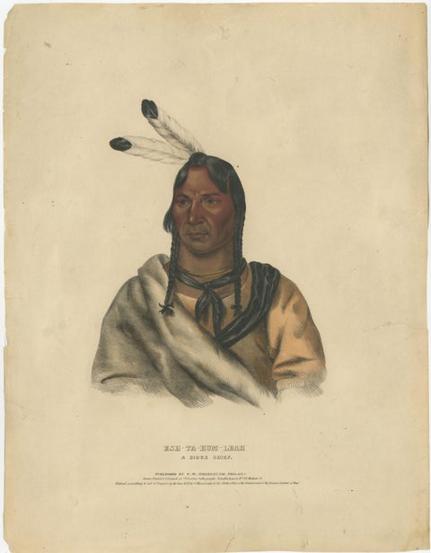 Sioux Chief Portrait – Esh-Ta-Hum-Leah, Native American Lithograph c.1838
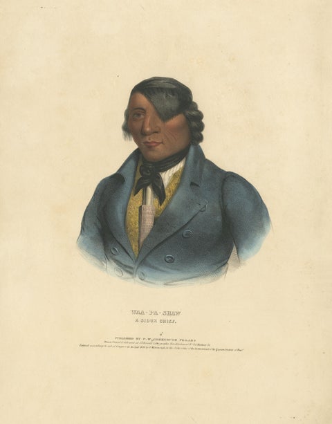 Portrait of Waa-Pa-Shaw – Sioux Chief, Hand-Colored Lithograph c.1838
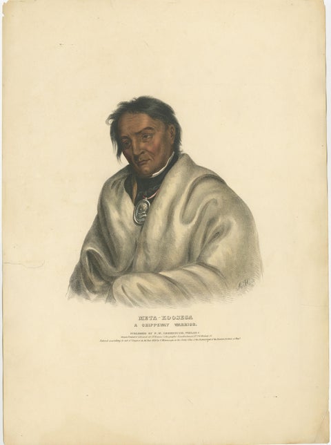 Ojibwe Warrior Portrait – Meta-Koosega, Hand-Colored Lithograph c.1838
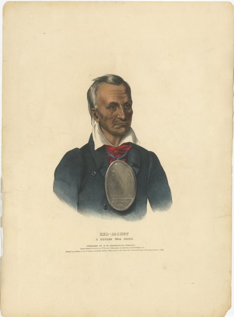 Large Antique Print of Red-Jacket, a Seneca War Chief, circa 1838
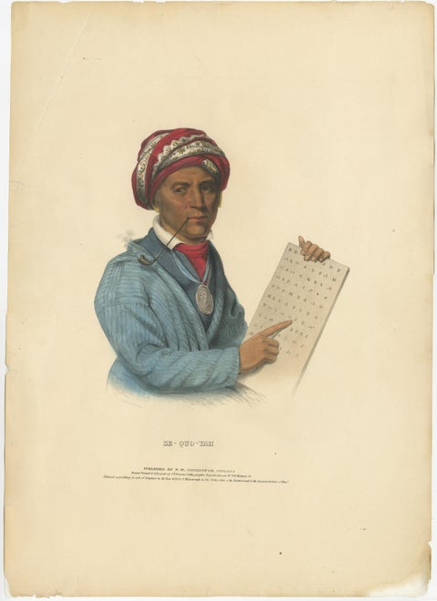 Large Antique Print of Sequoyah, also known as George Gist, circa 1838
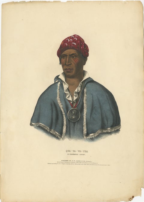 Large Hand-Colored Antique Print of Qua-Ta-Wa-Pea, a Shawnee Chief, circa 1838
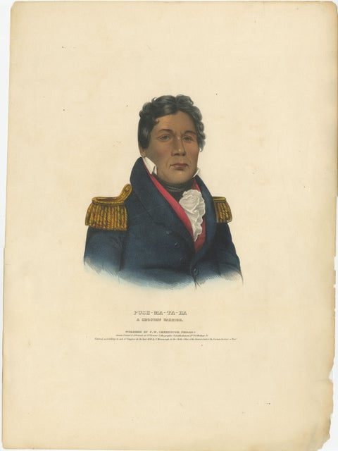 Large Antique Print of Push-Ma-Ta-Ha, a Choctaw Warrior, circa 1838
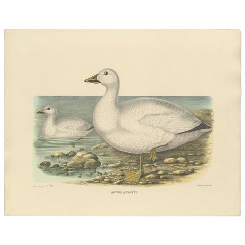 Original Rare Old Bird Print Depicting Cassin's Snow Goose 'Anser Albatus', 1869
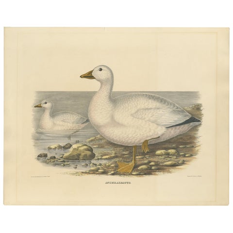 Large Rare Old Bird Print Depicting Cassin's Snow Goose, 1869
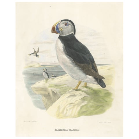 Spectacular Rare Large Antique Bird Print of The Large-Bill Puffin, 1868
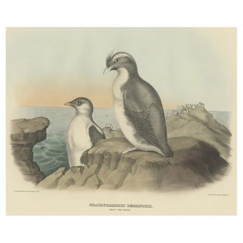 Spectacular Antique Bird Print of an Adult and Young Temminck's Auk, 1869
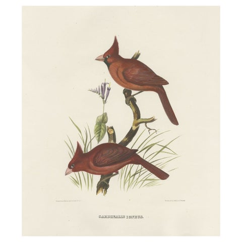 Large Old Hand-Colored Print of Northern Cardinals from Northern America, 1869
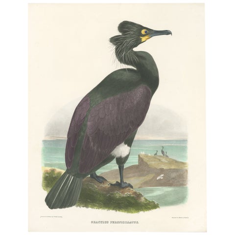 Spectacular Rare Old Original Bird Print of The Spectacled Cormorant, 1868
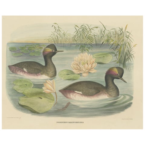 Two Black-Necked Grebes Rare Large Antique Bird Print, 1869
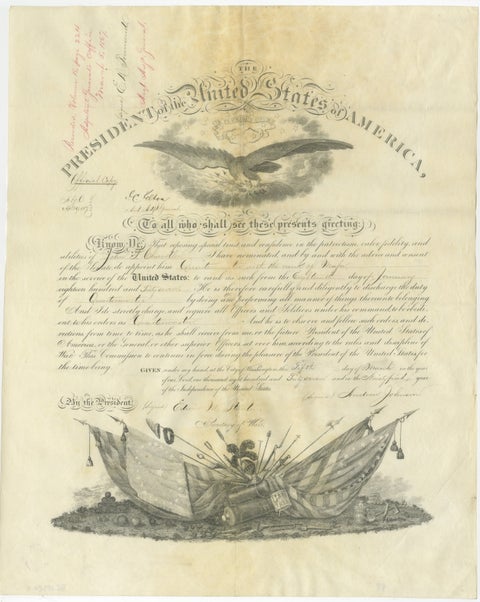 Andrew Johnson Military Commission 1867 – Quartermaster Appointment Civil War
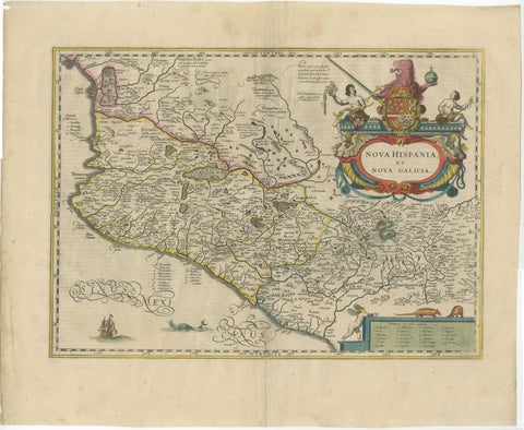 Antique Map of Southern Mexico & New Galicia, Janssonius, Amsterdam c.1650
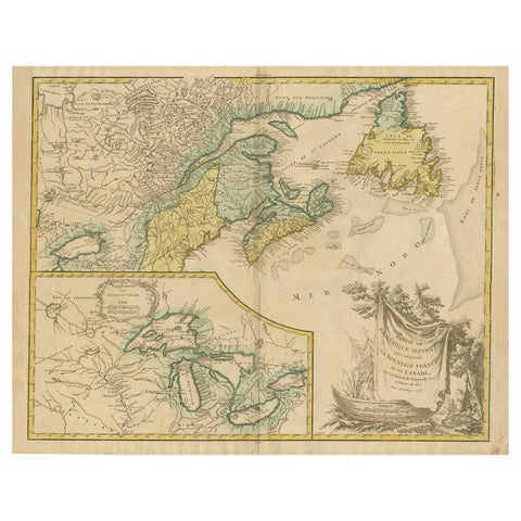 Antique Map of New England and Part of Canada by Vaugondy 'circa 1755'
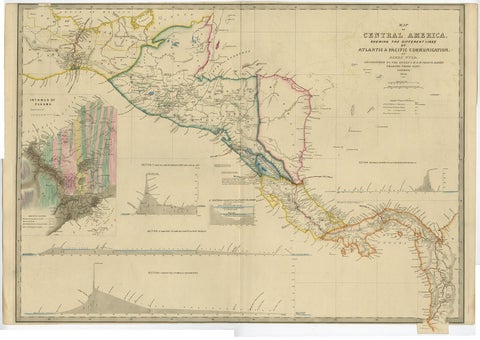 Antique Map of Central America Showing the Communication Lines, 1850
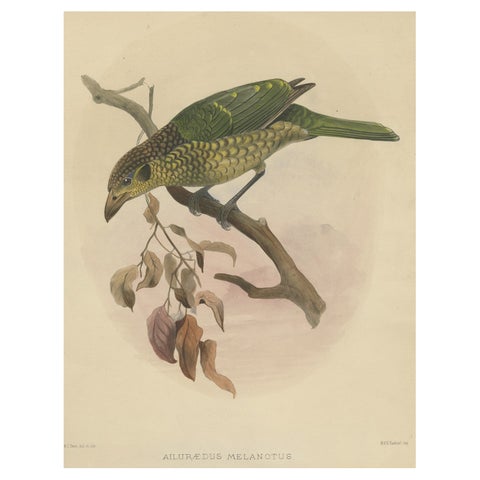 Antique Bird Print of the Black-Cheek Cat Bird by Elliot, c.1873
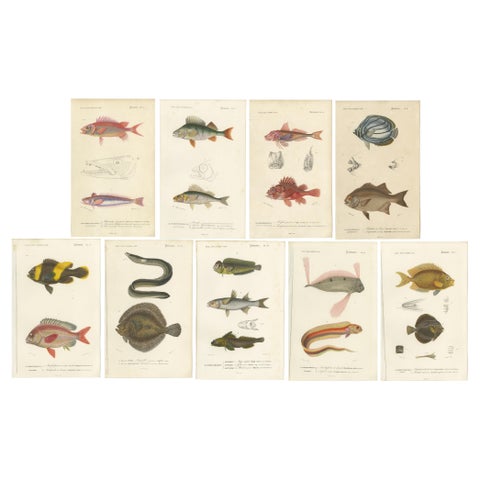 Set of 9 Antique Prints of Various Handcolored Fish Species
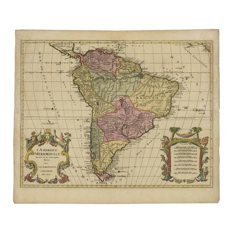 Map of South America 1792 by Elwe – Hand-Colored Antique Dutch Engraving
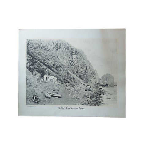 Large Photographic Plates of Saba, Sint Eustatius, Sint Martin Caribbean, 1910
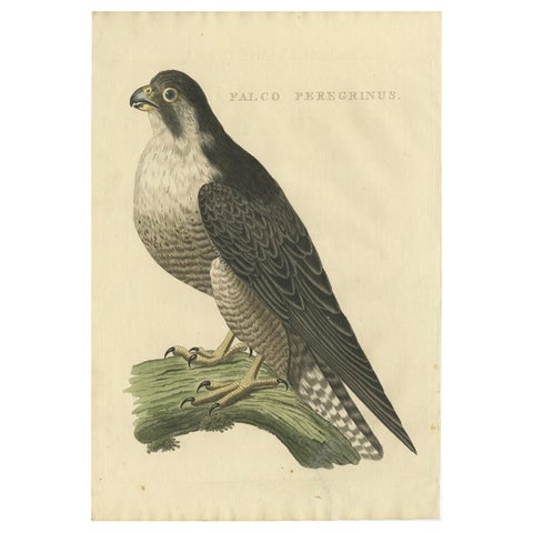 Antique Bird Print of The Peregrine Falcon by Sepp & Nozeman, 1829
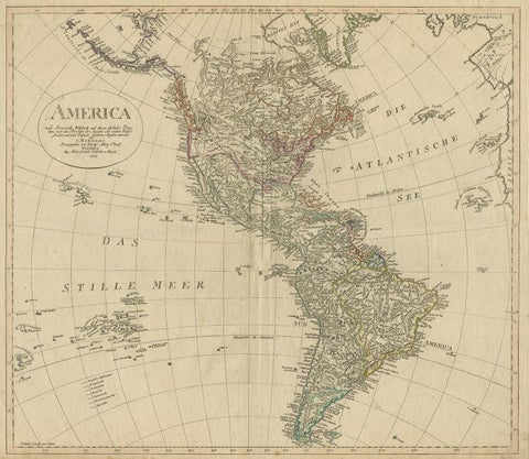 Antique Map of North and South America by Schneider and Weigel, 1818
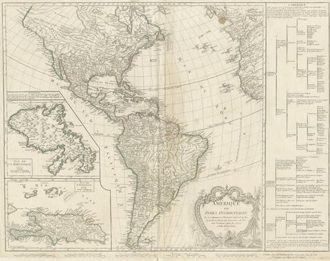 Antique Map of the Americas and West Indies by Robert de Vaugondy, 1778
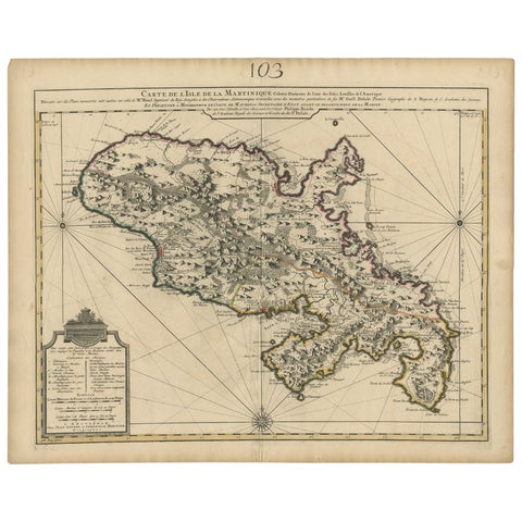 Antique Map of Martinique, Showing Roads, Houses, Sugar Plantations, etc. c.1750
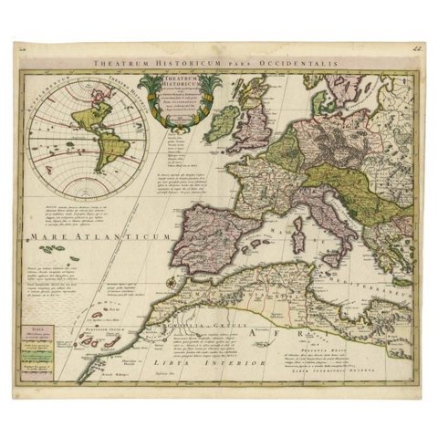 Finely Engraved Antique Map of Europe with inset of America, c.1745
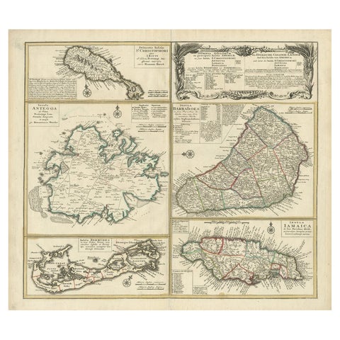 Original Old Map of St Kitts, Antigua, Bermuda, Barbados, and Jamaica, ca.1745
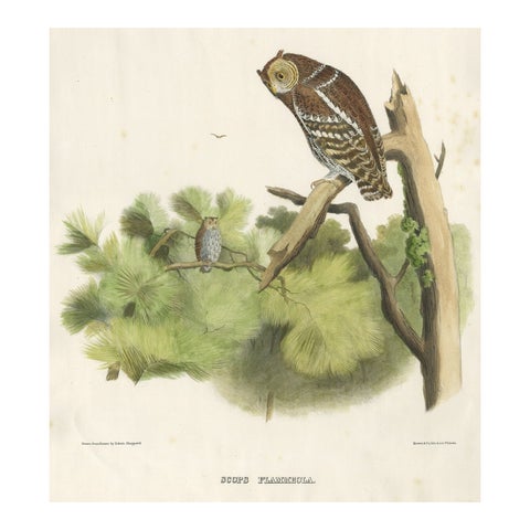 Rare Large Antique Print of the Flammulated Owl (Psiloscops flammeolus), 1869
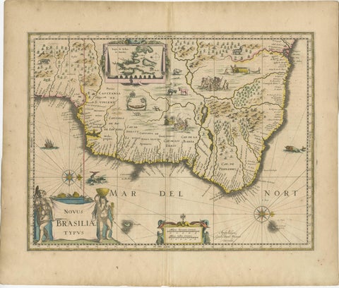 Antique Engraving of Blaeu's first Map of Brazil, Circa 1640
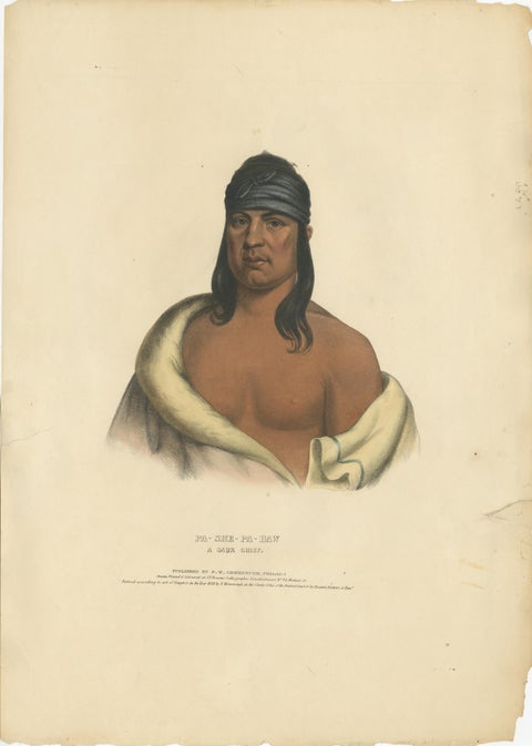 Large Hand-Colored Antique Print of Pa-She-Pa-Haw, a Sauk Chief, circa 1838
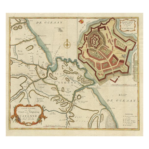 Striking Antique Map of Cayenne in French Guyana, South America, ca.1760
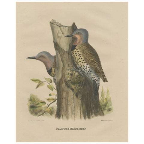 Large Old Bird Print Depicting Two Gilded Flickers, 1869
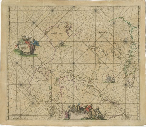 1690 Frederick de Wit Sea Chart of Hudson Bay, Baffin Bay and Greenland
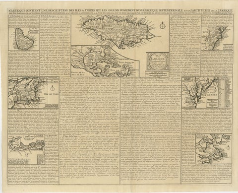 Rare French Colonial America Map, Jamaica Barbados Carolina, c.1719
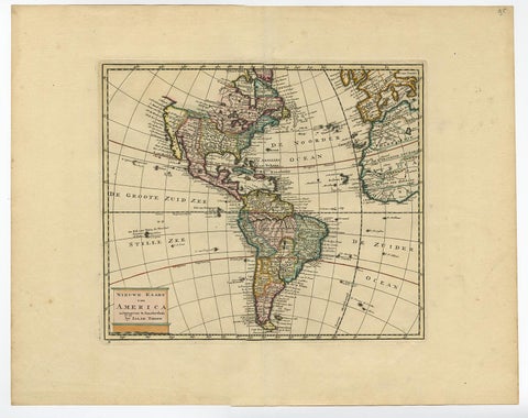 Antique Hand-Coloured Map of North and South America, ca.1765
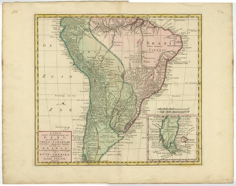 Attractive Antique Hand-Coloured Map of South America, ca.1765
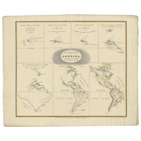 Interesting Antique Map of the Development of the Mapping of the America's, 1841
Sharing the sale? Download the Black Friday banners.