maps-prints.com
✦
Black Friday Sale
Friday 20 to Monday 30 November: up to 30% off original antique maps and prints
The terms
- Up to 30% off selected original antique maps and prints. Every piece is an original, printed in its own time; none is a reproduction.
- The sale runs from Friday 20 November to Monday 30 November. Sale prices shown here apply from Friday 20 November; until then pieces are sold at their regular price.
- Free FedEx shipping on qualifying orders placed on our own websites: USA, Canada, UK and Europe over $500 / €450; rest of the world over $750 / €675. Smaller orders pay our normal shipping rate.
- Orders placed from 15 to 30 November ship from 1 December, in time for Christmas. Our shipping partner is InXpress.
- Each piece is unique, so the sale is while stock lasts.
Collection:AllAmericanSea chartsMilitaryNatural historyFashionArchitectureBotanicalSacredEast Indies
Sale prices apply from Friday 20 November. Save the pieces you like with the heart and come back on Friday.
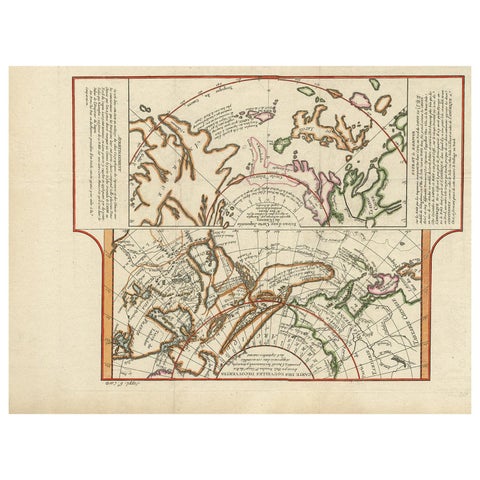 Antique Map of the West Coast of North America & North East Coast of Asia '1772'
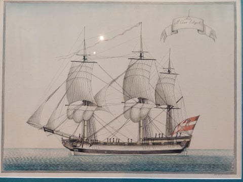 Antique Print of a Vessel 'c.1850'
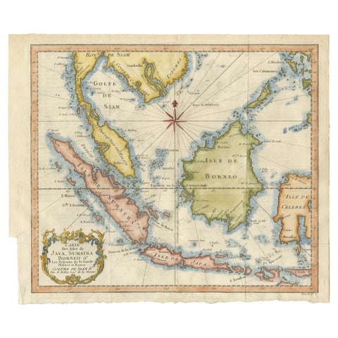 Java, Sumatra & Borneo Map – Bellin & van Schley Decorative Chart, 1750s
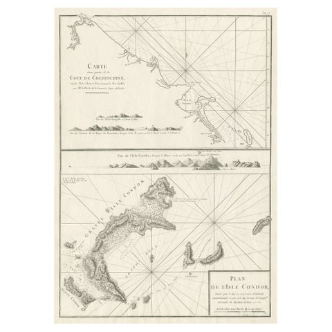 Old Sea Charts of Tourane Bay & the Con Dao Islands 'Pulo Condor', Vietnam, 1780
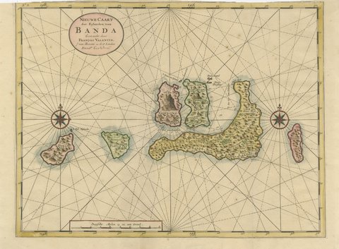 Valentijn Sea Chart of the Banda Nutmeg Islands with Poelo Rhun, 1726
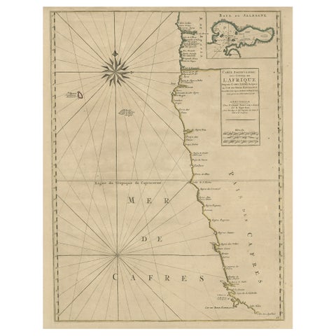 Old Map of the Namibia and South Africa Coasts & Inset of Saldanha Bay, ca.1700
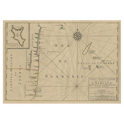 Map of the Mozambique and Tanzania Coast & Inset Map of Anjouan Island, ca.1700
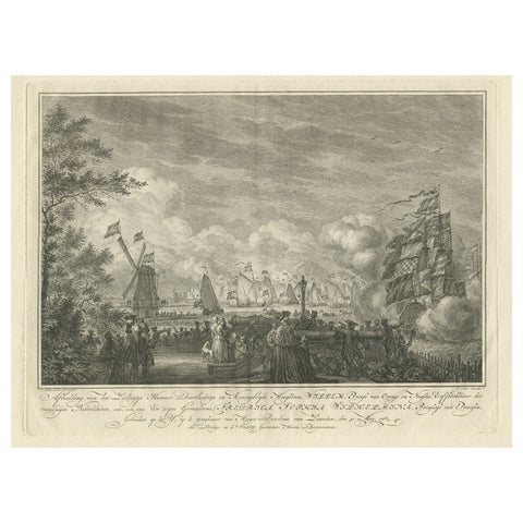 Antique Print of the Sailing Tour on the IJ River , Amsterdam, 1768
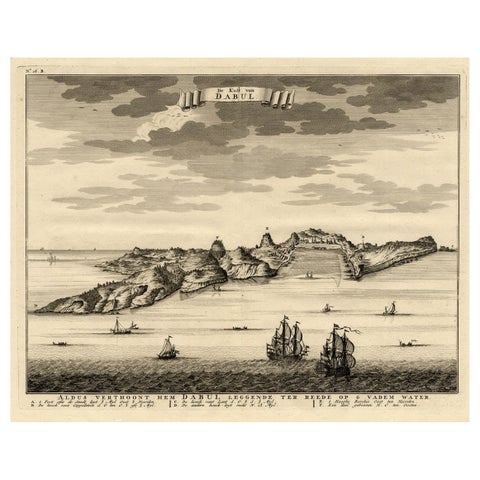 Rare Engraving of the Coast of Dabhol or Dabul, Ratnagiri, Maharashtra in India
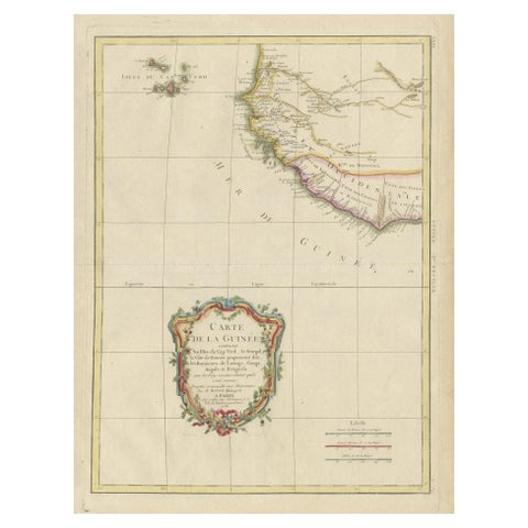 Antique Map of the Coast of Guinea and the Cape Verde Islands
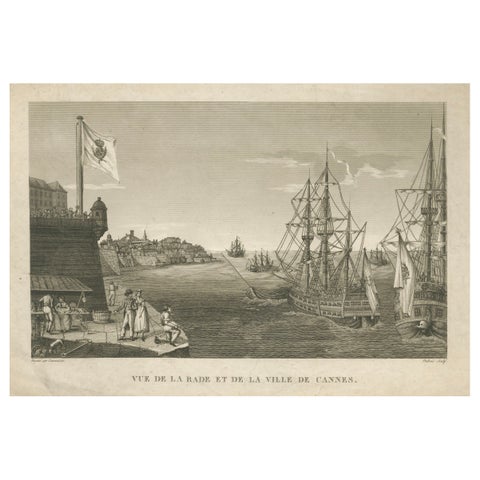 View of the Harbor of Cannes – Engraving by Dubois after Courvoisier, 1784
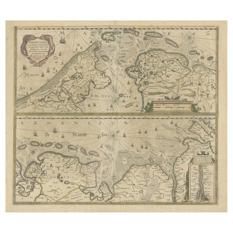 Two Original Antique Engravings with the Dutch and German North Sea Coast, c1650
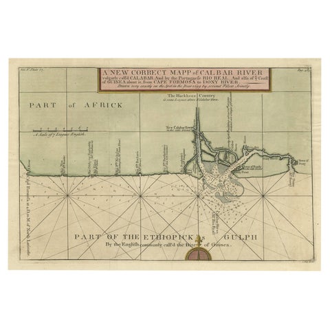 Authentic Map of the Coast from Cape Formosa to the Dony River, Africa, 1732
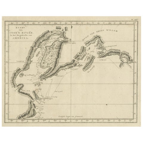 Original Chart Showing the Region between Cape Grenville and Cape Suckling, 1803
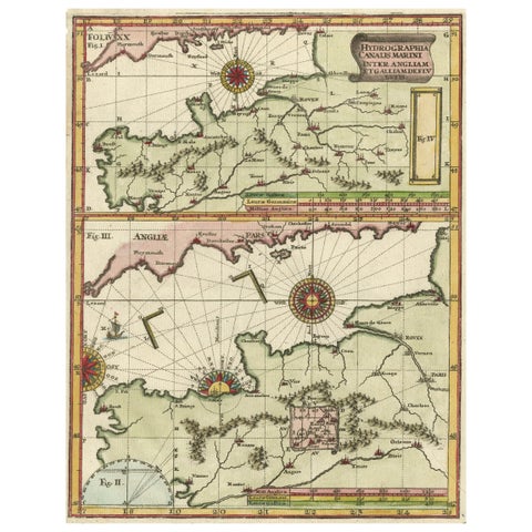 Two Charts of The English Channel, Each Adorned with Nice Compass Roses, ca.1700
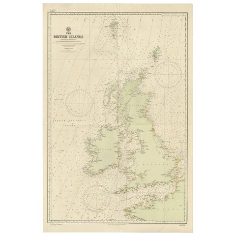 Large Sea Chart of the British Islands, 1918
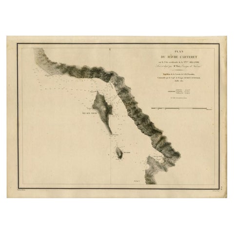 Antique Map of the Coast of New Ireland, Earlier Part of German New Guinea, 1833
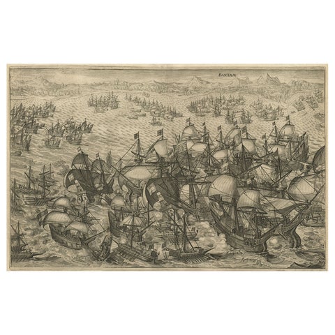 Engraving of Dutch Attacking the Portuguese Fleet off Bantam, Indonesia, 1644
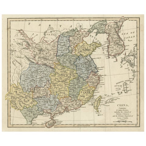 Original Old China Map, From Korea and the Sea of Japan to Teypin Island, 1803
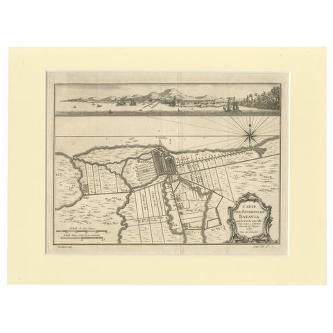 Old Engraving of Batavia 'Jakarta, Indonesia' with Map and Harbour View, 1750
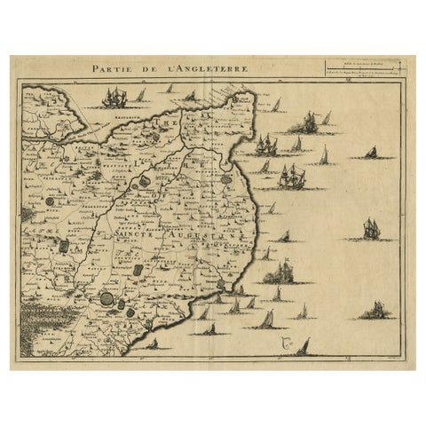 Uncommon Antique Map of the English Channel Coastline, ca.1709
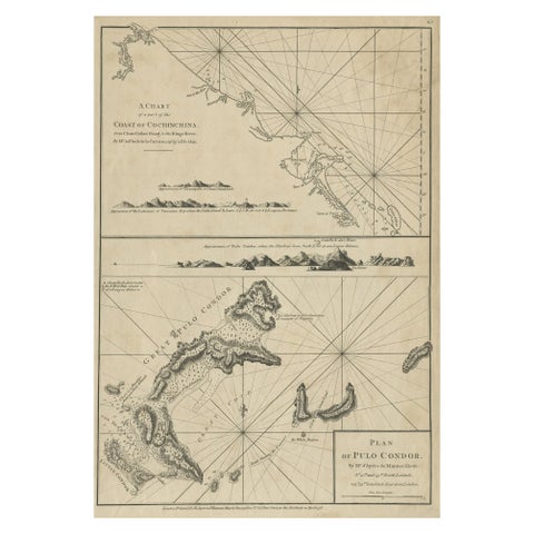 Chart of the Coast of Cochinchina' and 'Plan of Pulo Condor', Vietnam, 1778
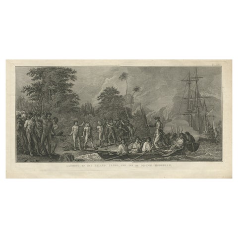 Antique Print of the Landing at Tanna Island by Cook, 1803
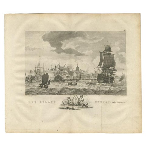 Antique Print of Ships Near Onrust Island Near Jakarta, Indonesia, 1779
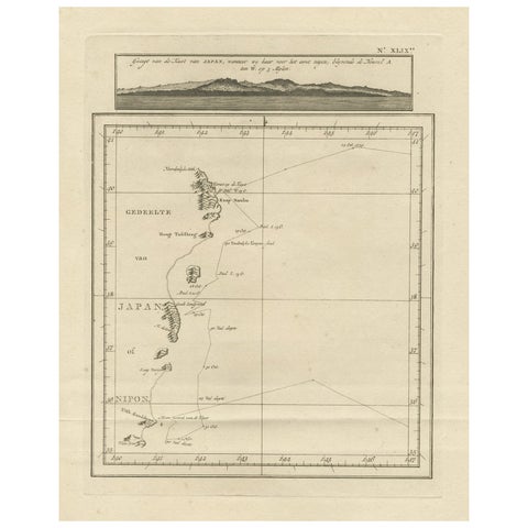 Map of the East Coast of Hanshu or Honshu & a View of the Japanese Coast, 1803
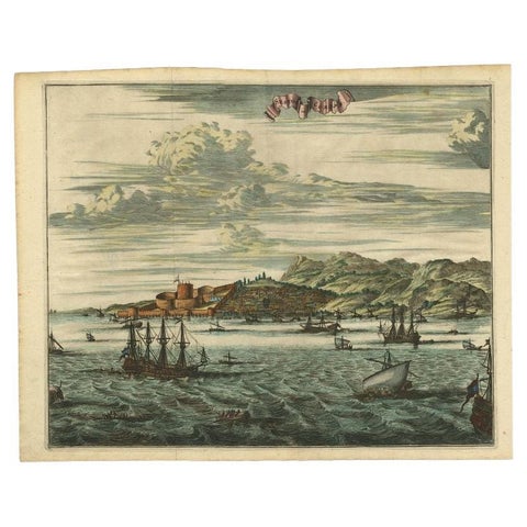 Antique Print of Sestos in Turkey with Ships , circa 1680
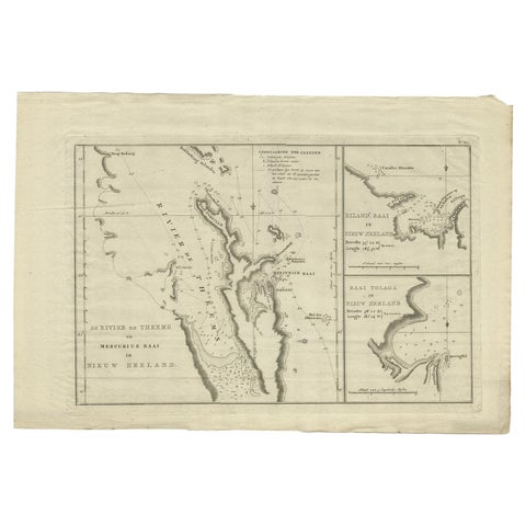 Detailed Map of New Zealand Showing the Route of Capt. Cook's First Voyage, 1803
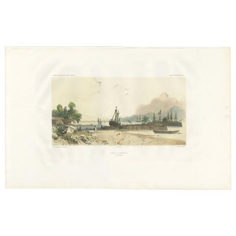 Antique Print of the Port of Ambon by D'Urville, circa 1850
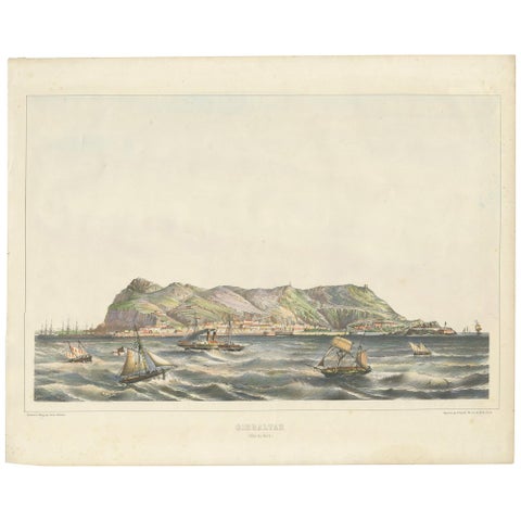 Antique Print of the North Coast of Gibraltar by F. Appel 'c.1890'
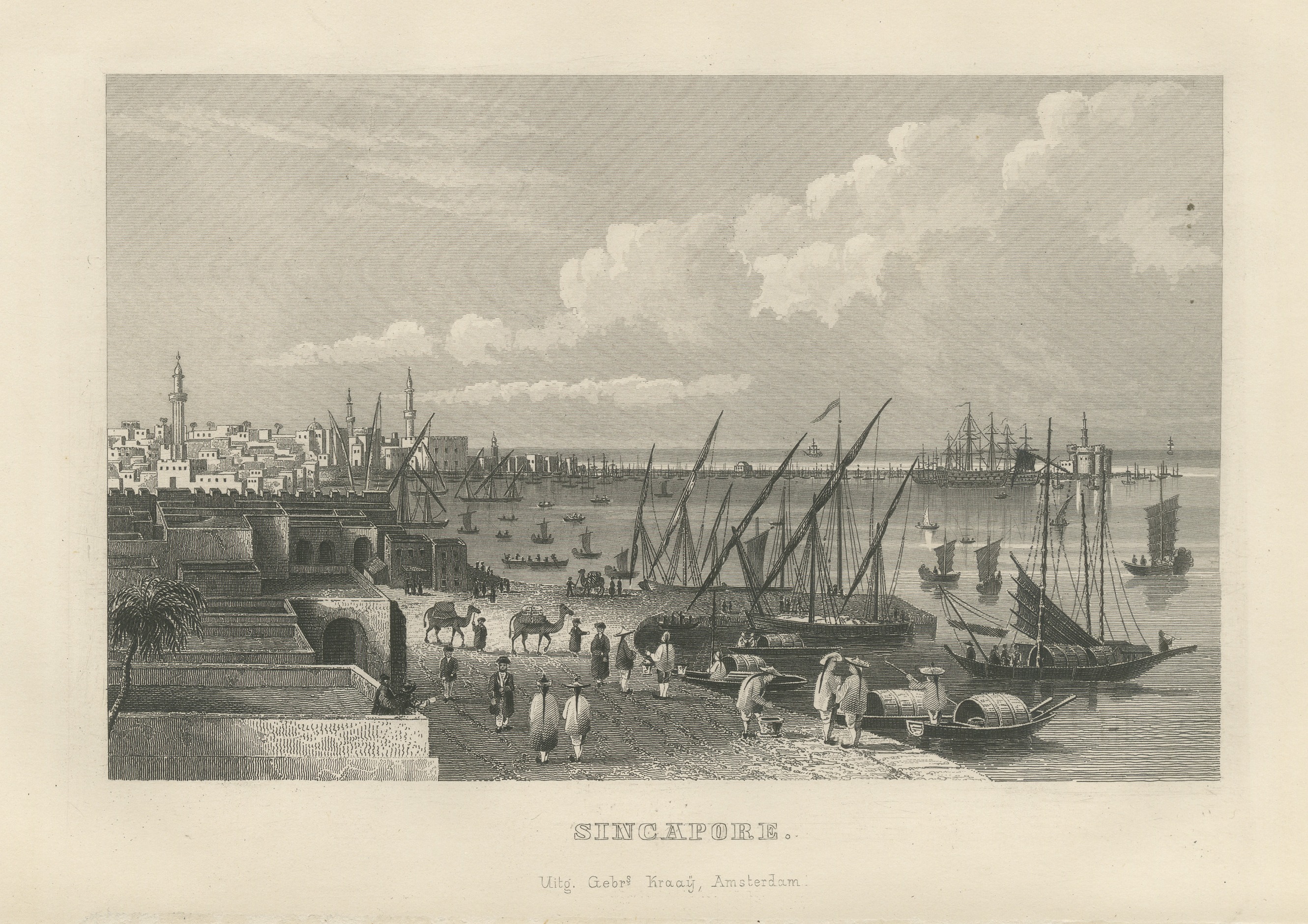 Singapore Harbor with Junks and Sailing Ships, Antique Steel Engraving, 1859
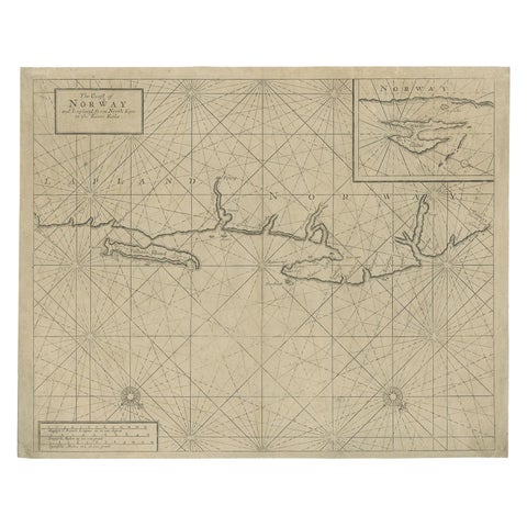 Old Sea Chart of Northern Norway, also depicting Part of Lapland & Russia, 1702
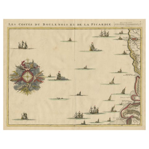 Antique Map of the French Coast at Boulogne and Picardy
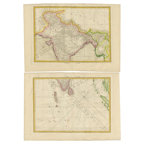 Charting the Course of Empire: Bonne's 1770 Masterpiece Maps of the Indian Ocean
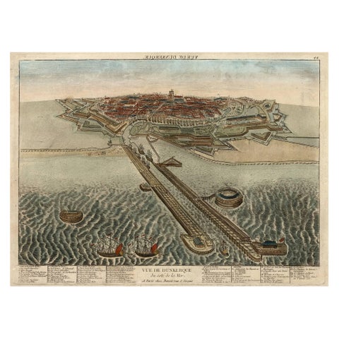 Spectacular 1770 Bird's-Eye View of Dunkirk Harbor by Basset, with 66 Landmarks
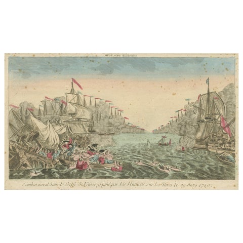 Venetian Naval Battle Print – Rare Optical Vue of Venice versus Turks, c.1770
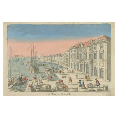 The Port of Marseille – 18th Century Hand-Colored Engraving by Daumont, Paris
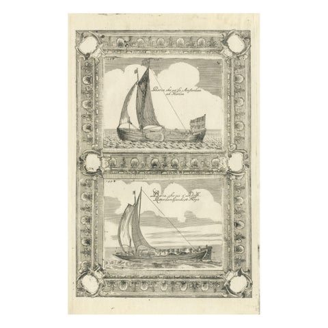
 Dutch Inland Sailing Boats, Amsterdam–Haarlem & Delft–Rotterdam, Coronelli 1690
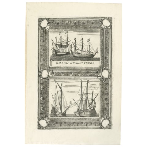
 English Galleons & Dutch Vessels, Naval Ship Engravings, Coronelli 1690
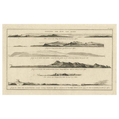 Dutch Antique Engraving with Coastal Views of Asia by Cook, 1803
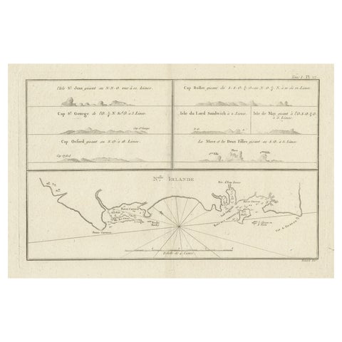 Antique Map of New Ireland (Pacific) with Coastal Profiles – Cook Voyages, 1774
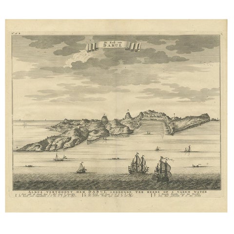 Antique Print of the Coast of Dabhol 'India', 1726
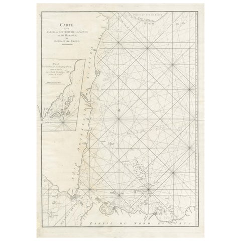 Antique Sea Chart by J. B. d'Apres de Mannevillette, Sumatra, 1780
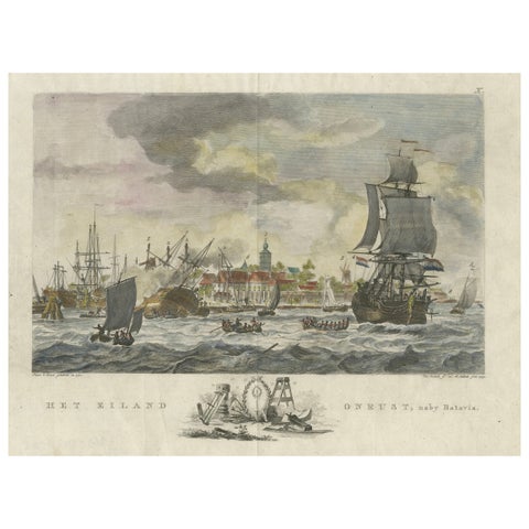 1779 View of Onrust Island Near Batavia with VOC Shipyard Activity
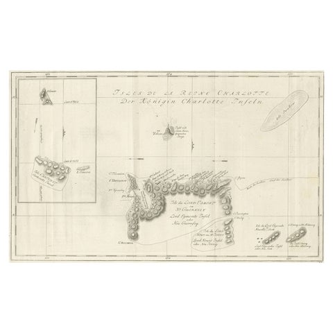 Original Antique Chart of the Santa Cruz Islands, 1774
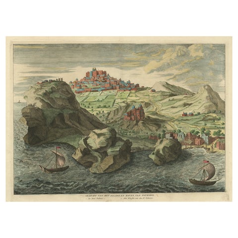 Old Engraving the City and Harbour of Pathmos, Patmos or Patimo in Greece, 1725
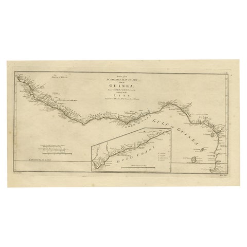 Map of the African Coast, Gulf of Guinea, from Sierra Leone to Gabon, 1788
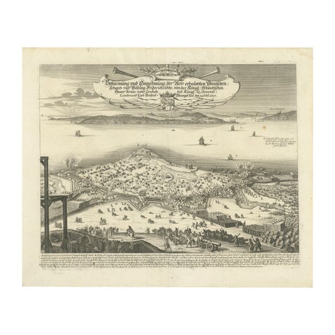 Prince Henry's Naval and Land Battle during the Seven Years' War Engraved, 1667
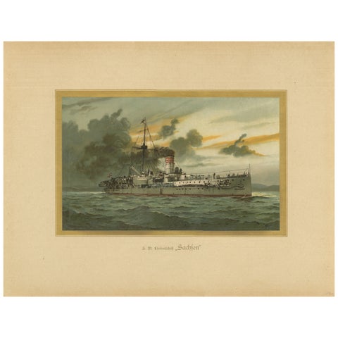 SMS Sachsen: Pioneering German Coastal Defense Ship – 1903 Chromolithograph
Sharing the sale? Download the Black Friday banners.