maps-prints.com
✦
Black Friday Sale
Friday 20 to Monday 30 November: up to 30% off original antique maps and prints
The terms
- Up to 30% off selected original antique maps and prints. Every piece is an original, printed in its own time; none is a reproduction.
- The sale runs from Friday 20 November to Monday 30 November. Sale prices shown here apply from Friday 20 November; until then pieces are sold at their regular price.
- Free FedEx shipping on qualifying orders placed on our own websites: USA, Canada, UK and Europe over $500 / €450; rest of the world over $750 / €675. Smaller orders pay our normal shipping rate.
- Orders placed from 15 to 30 November ship from 1 December, in time for Christmas. Our shipping partner is InXpress.
- Each piece is unique, so the sale is while stock lasts.
Collection:AllAmericanSea chartsMilitaryNatural historyFashionArchitectureBotanicalSacredEast Indies
Sale prices apply from Friday 20 November. Save the pieces you like with the heart and come back on Friday.
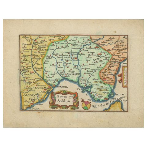 Antique Map of Andalusia Spain – Hand-Coloured Tassin Engraving 1651
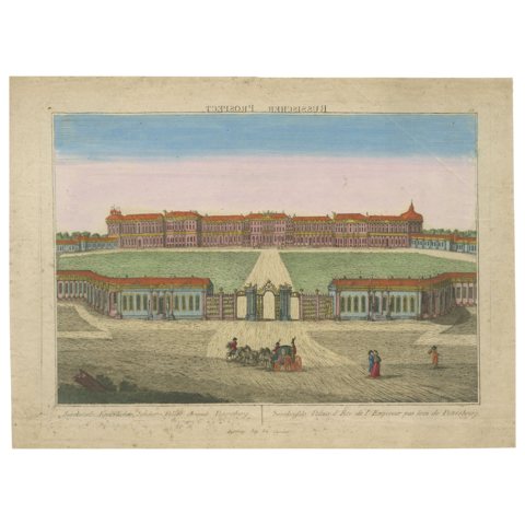 Grand View of Tsarskoye Selo Palace St. Petersburg – Optical Print c.1780
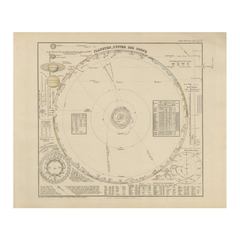 Solar System Map – Planetary Orbits and Data Chart, Published in 1857
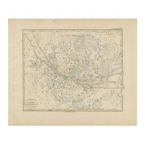 Northern Hemisphere Star Map – Constellations & Astronomical Chart, c.1858
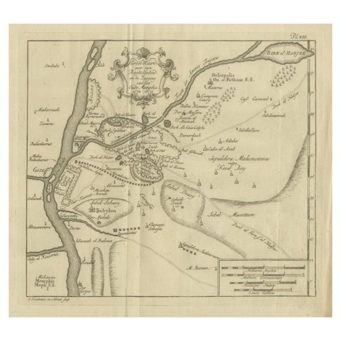 Cairo, Babylon & Heliopolis – Antique Map of Ancient Memphis Region, 1776
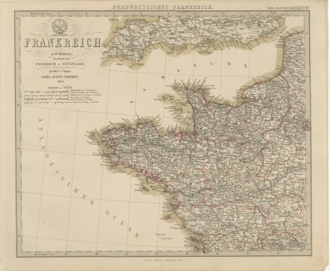 Hand-Colored Map of Northwest France – Brittany to Loire, 1858
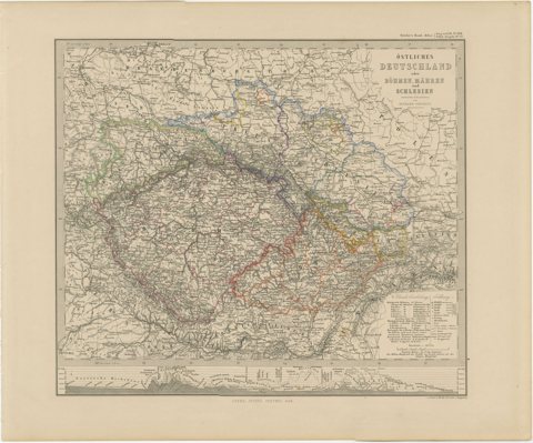 Antique Map of Eastern Germany, Bohemia, Moravia & Silesia – 1858
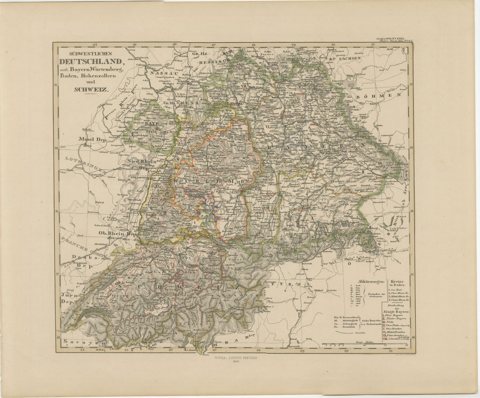 1858 Map of Southwestern Germany & Switzerland – Bavaria, Württemberg, Baden
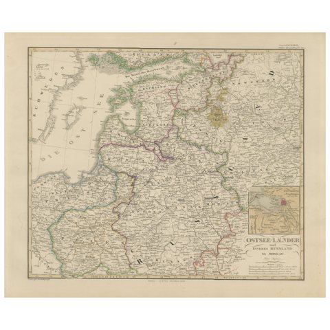 1858 Map of the Baltic States & Inner Russia to Moscow – Justus Perthes
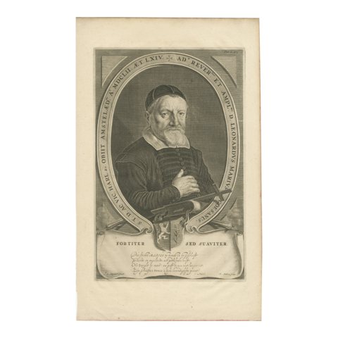 Dutch Theologian Portrait – Leonardus Marius by Adriaen Matham, circa 1651
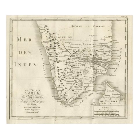 Antique Map of the Jesuit Missions in Madurai and Surrounding Kingdoms, c.1760
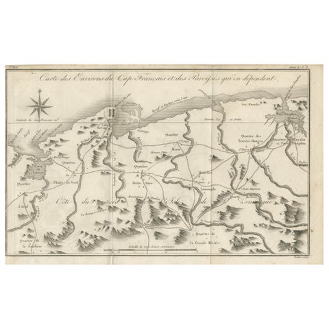 Antique Map of the Environs of Cap-Français, Saint-Domingue, c.1760
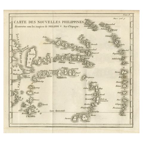 Old Map of the New Philippines – Early 18th Century Spanish East Indies, 1706
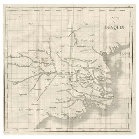 Antique Map of Tonkin, Northern Vietnam – Red River Delta, Engraved circa 1780
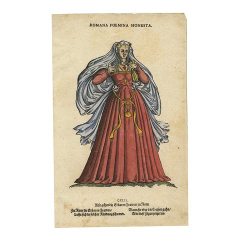 Roman Woman – Antique Hand-Coloured Woodcut by Jost Amman, 1577
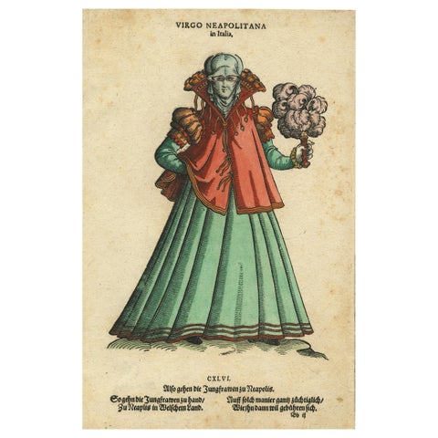 Virgin Woman from Naples – Antique Hand-Coloured Woodcut by Jost Amman, 1577
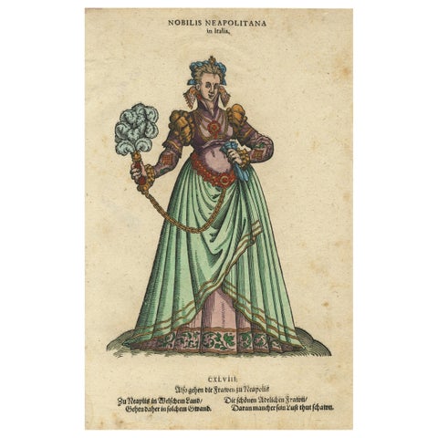 Noblewoman of Naples – Rare Antique Costume Woodcut, Jost Amman, 1577
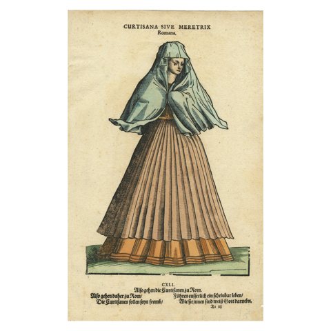 Roman Courtesan – Antique Hand-Coloured Woodcut by Jost Amman, 1577
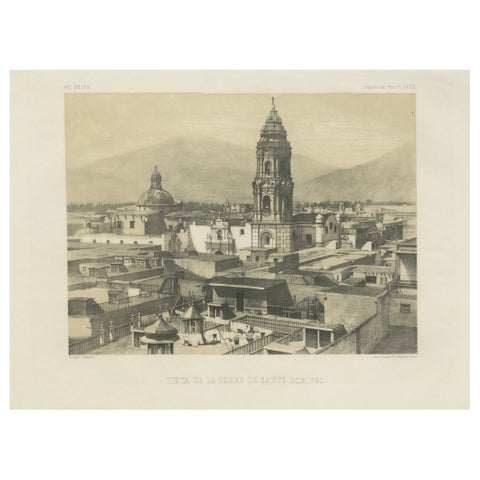 Santo Domingo Tower Lima Peru – Antique Lithograph c.1865
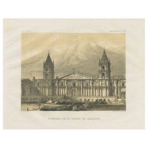 Cathedral of Arequipa Peru – Antique Architectural Lithograph c.1865
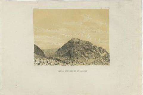 Peru Mining Mountain of Hualgayoc – Antique Lithograph, 1865
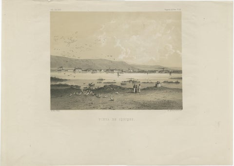 Iquique Peru (Now Chile) – Antique Coastal City Lithograph c.1865
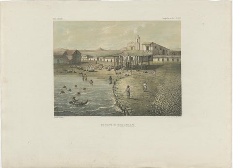 Antique Lithograph View of Puerto de Huanchaco, Peru c.1865
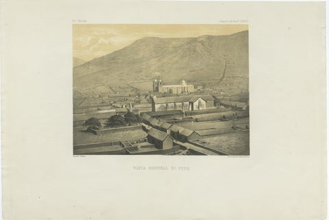 Puno Peru Antique City View Lithograph – Panoramic Scene c.1865
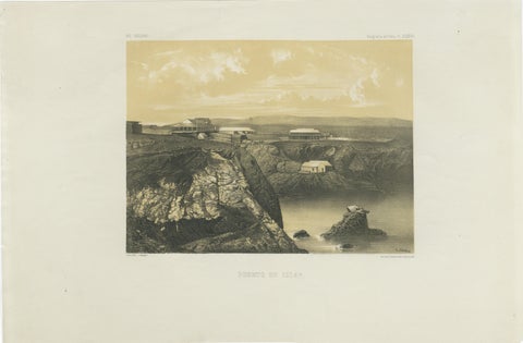 Puerto de Islay Peru – Antique Coastal Port Lithograph c.1865
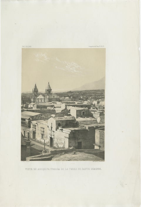 Antique lithograph view of Arequipa from the Tower of Santo Domingo – 1865
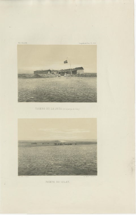 Antique lithograph views of Tambo de la Joya and Pampa de Islay, Peru – 1865
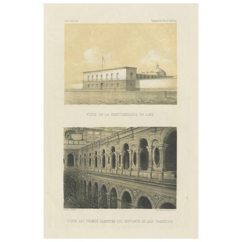 Antique lithograph views of Lima – Penitentiary & San Francisco Convent, 1865
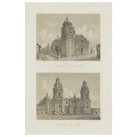 Hand-colored lithograph views of the Cathedral and La Merced Church, Lima – 1865
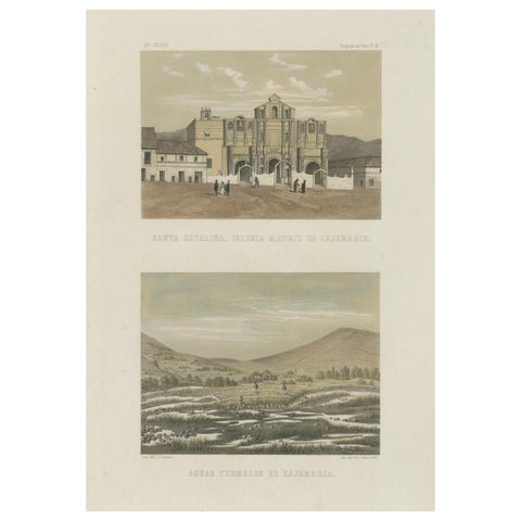 Hand-colored Views of Cajamarca – Santa Catalina Church & Thermal Springs, 1865
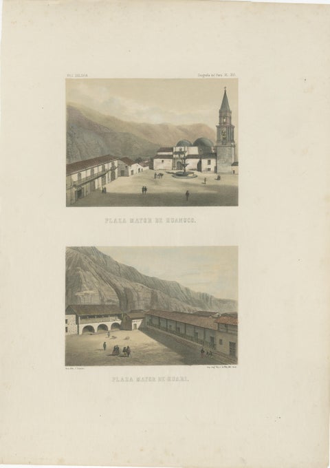 Hand-colored lithograph views of Huánuco & Huari, Peru – Plazas Mayores, 1865
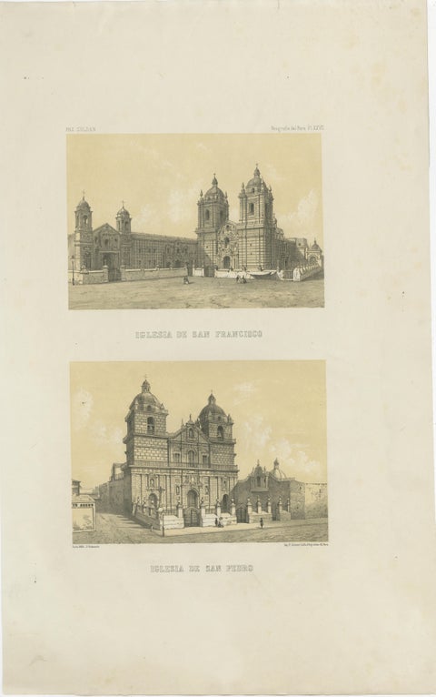 Antique Views of Lima – Iglesia de San Francisco & Iglesia de San Pedro, 1865
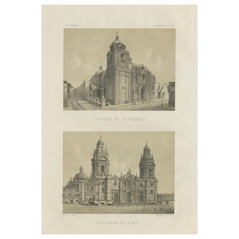 Antique lithograph views of the Cathedral and La Merced Church, Lima – 1865
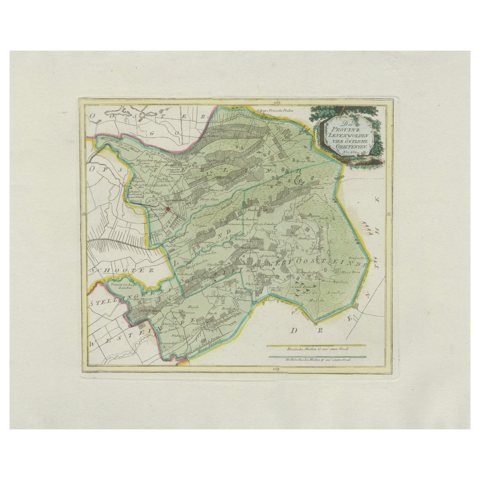 Rare Antique Hand-Colored Map of Eastern Friesland by von Reilly, 1791
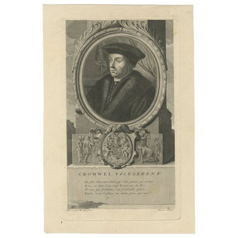 Antique Engraving of Thomas Cromwell, English Statesman, c.1700
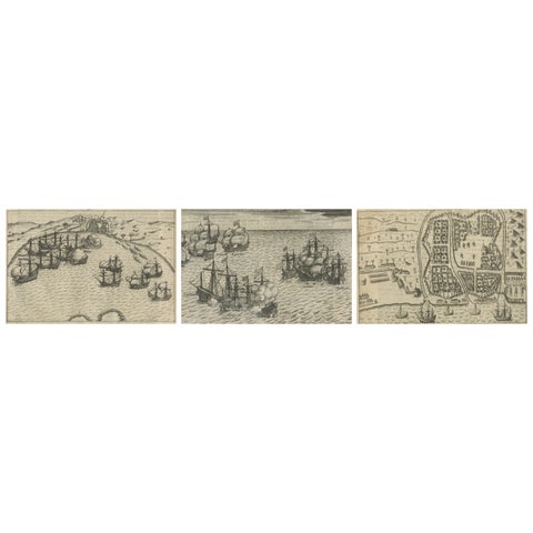 Dutch Fleet and Fortified Port City of Bantam, from History of Amsterdam, 1611
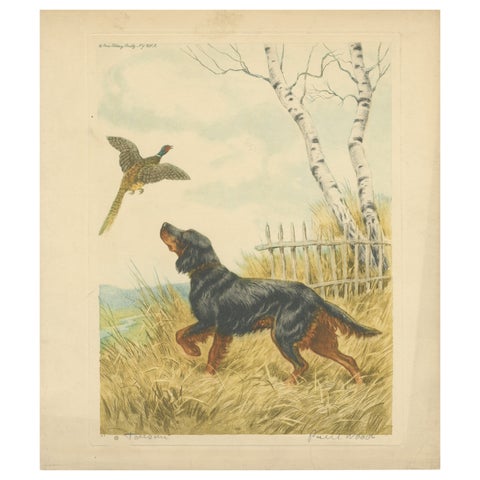 Vintage Lithograph “Setter and Pheasant” by Paul Wood – New York, 1930s
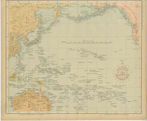 Map of the Pacific Ocean and Philippine Archipelago – Manila Observatory, 1899
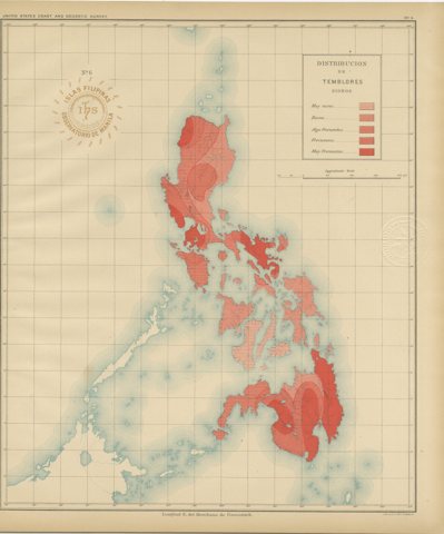 Seismic Activity Map of the Philippine Islands – Observatorio de Manila, 1899
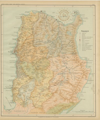 Topographic & Meteorological Map, Northern Luzon – Observatorio de Manila, 1899
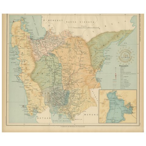 Central Luzon Topographic and Hydrographic Map – Observatorio de Manila, 1899
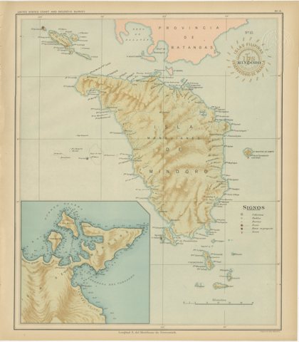 Map of the Island of Mindoro – Observatorio de Manila, 1899
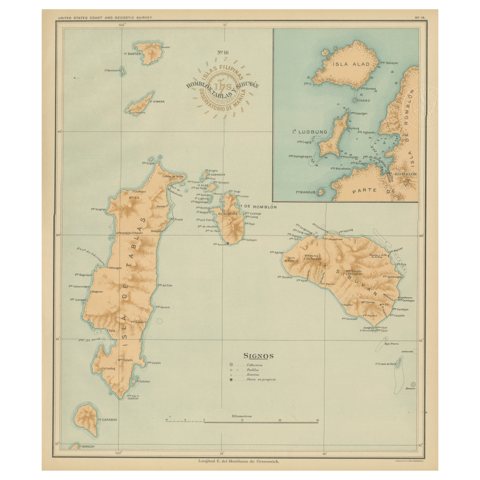 Map of Romblon, Tablas, and Sibuyan Islands – Observatorio de Manila, 1899
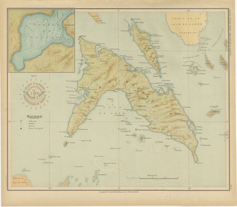 Map of Masbate and Ticao Islands – Observatorio de Manila, 1899
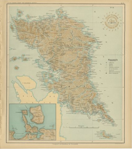 Map of the Island of Samar – Observatorio de Manila, 1899
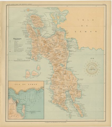 Map of the Island of Leyte – Observatorio de Manila, 1899
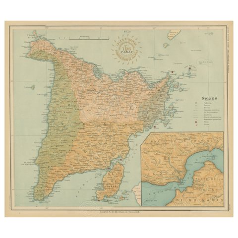 Map of the Island of Panay – Observatorio de Manila, 1899
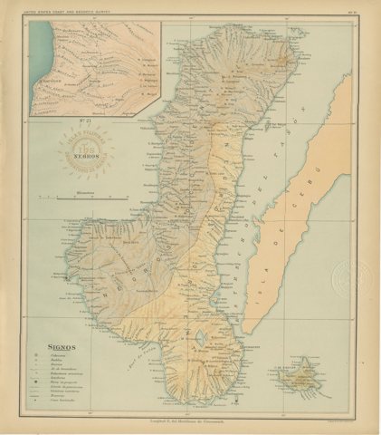 Map of the Island of Negros – Observatorio de Manila, 1899
Sharing the sale? Download the Black Friday banners.