About this sheet
Map of Masbate and Ticao Islands – Observatorio de Manila, 1899
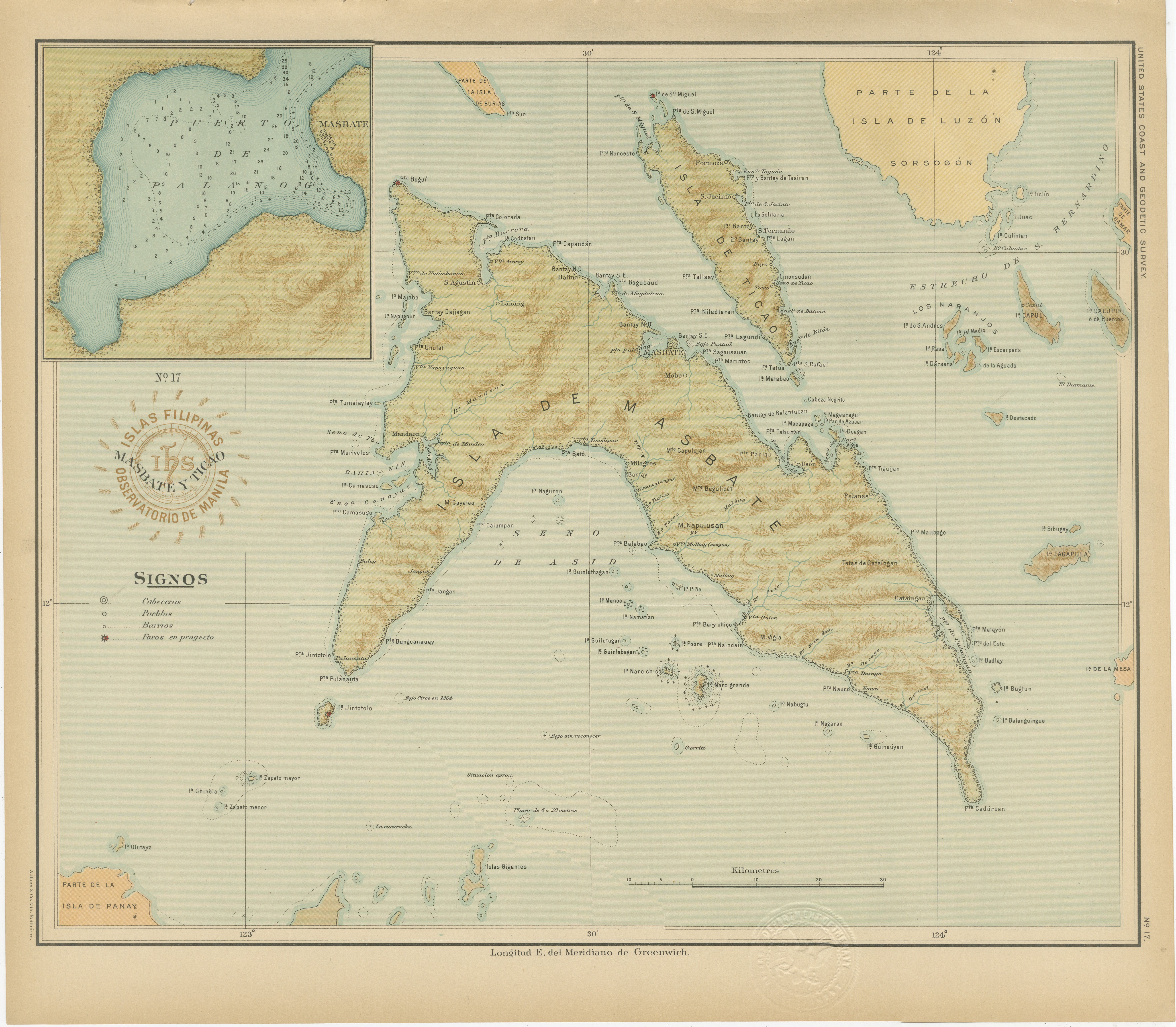
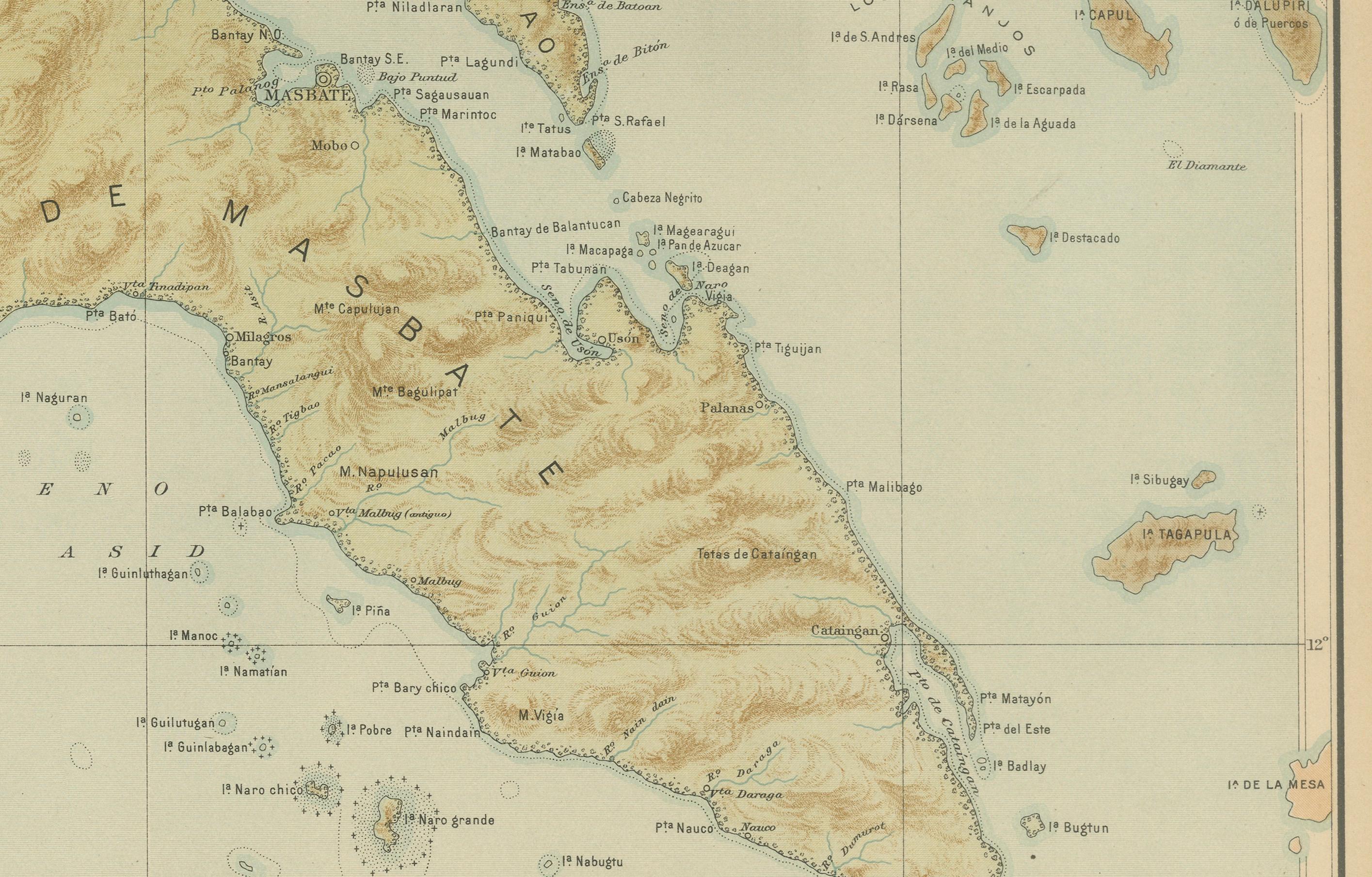
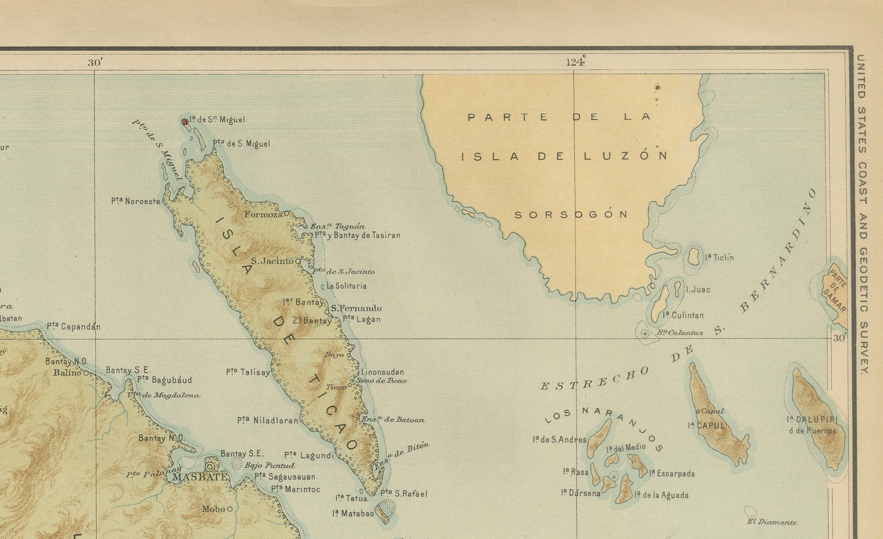
This elegant chromolithographed map titled “Islas Filipinas – Masbate y Ticao” was created under the supervision of Rev. José Algué, S.J., Director of the Observatorio de Manila, and published in 1899 as Plate No. 17 from the Atlas de Filipinas. The map presents a meticulously detailed depiction of Masbate and Ticao, two key islands in the central Philippines located between the Bicol Peninsula and the islands of Panay and Samar.
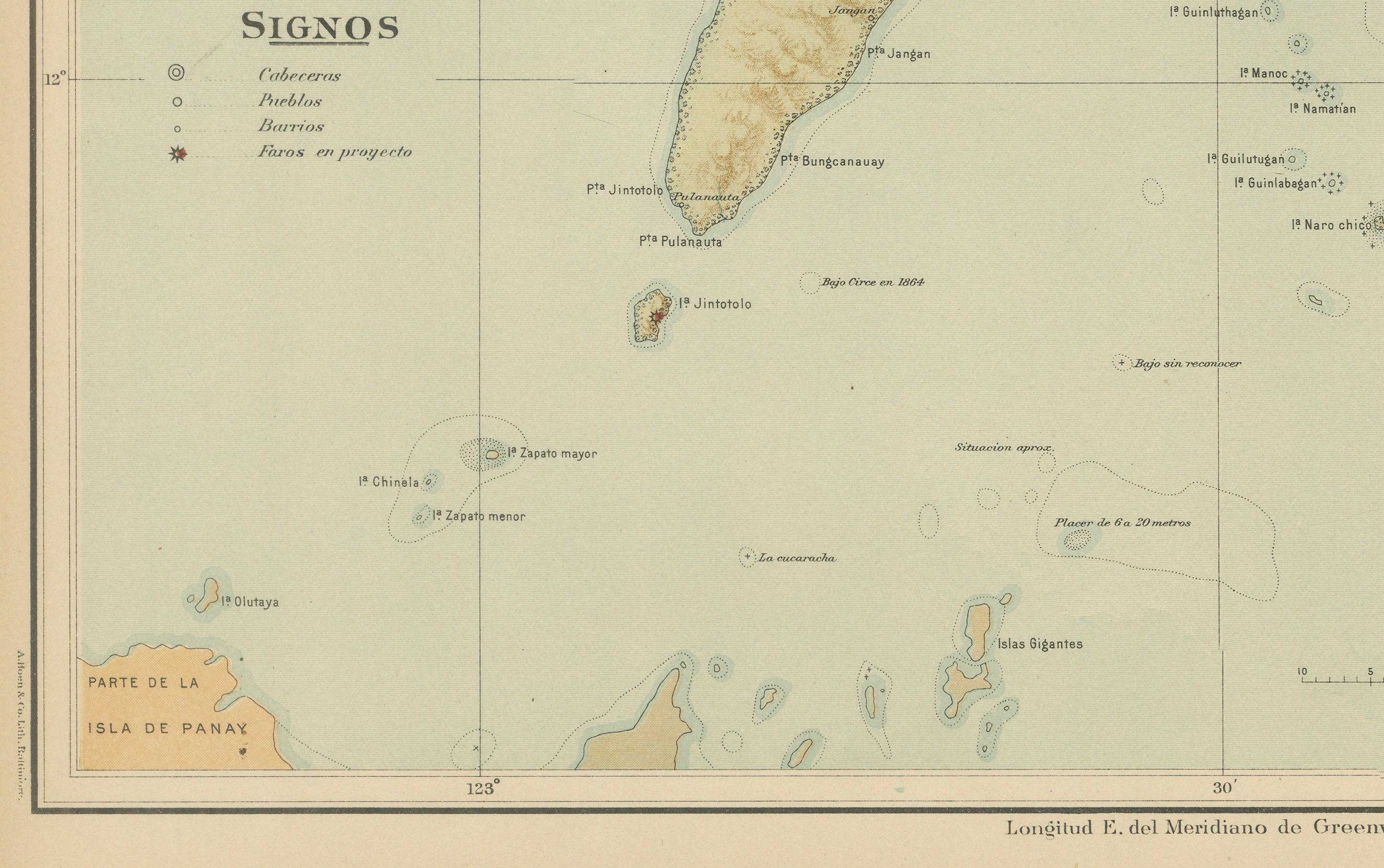
Rendered in the distinctive style of the Manila Observatory, the map combines scientific accuracy with refined artistry. Soft blue shading defines the surrounding seas, while warm brown tones mark the mountain ranges and elevations of the islands. The main island of Masbate is shown with topographical precision — rivers, mountain chains, and coastal settlements are all carefully labeled. Nearby Ticao Island, visible at the northeast, is similarly detailed, along with surrounding smaller islands such as Burias, Buntun, and San Miguel.
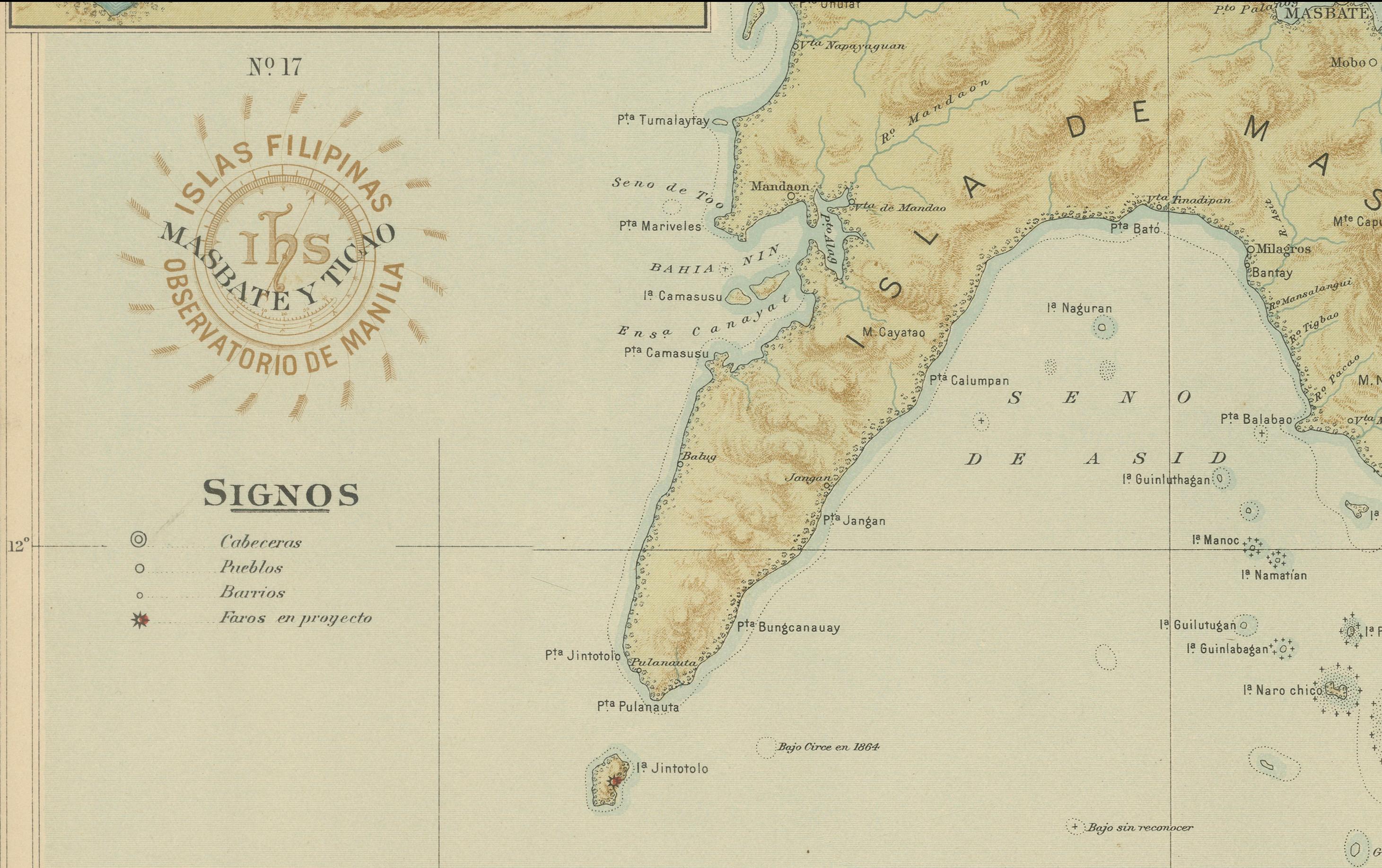
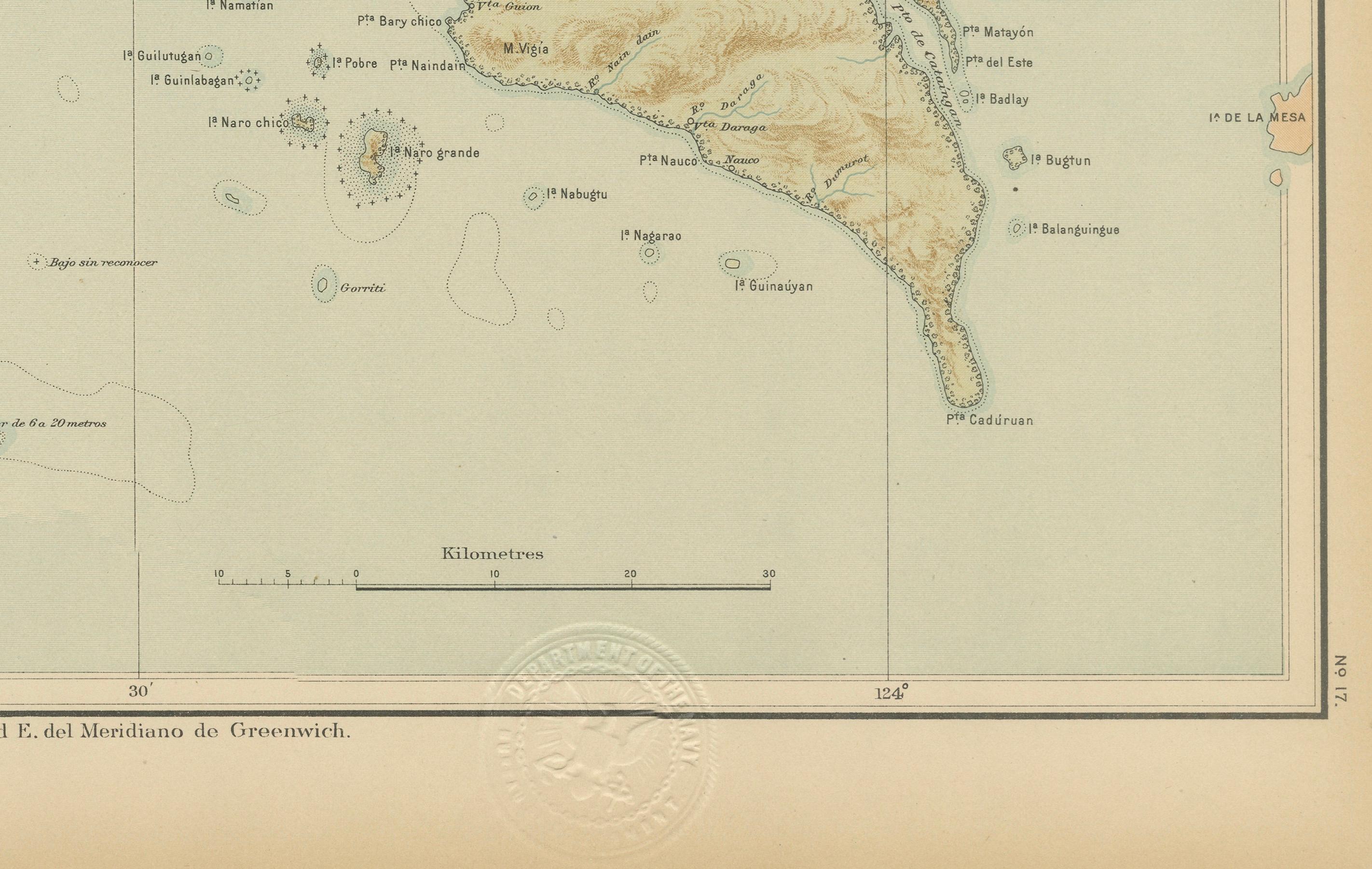
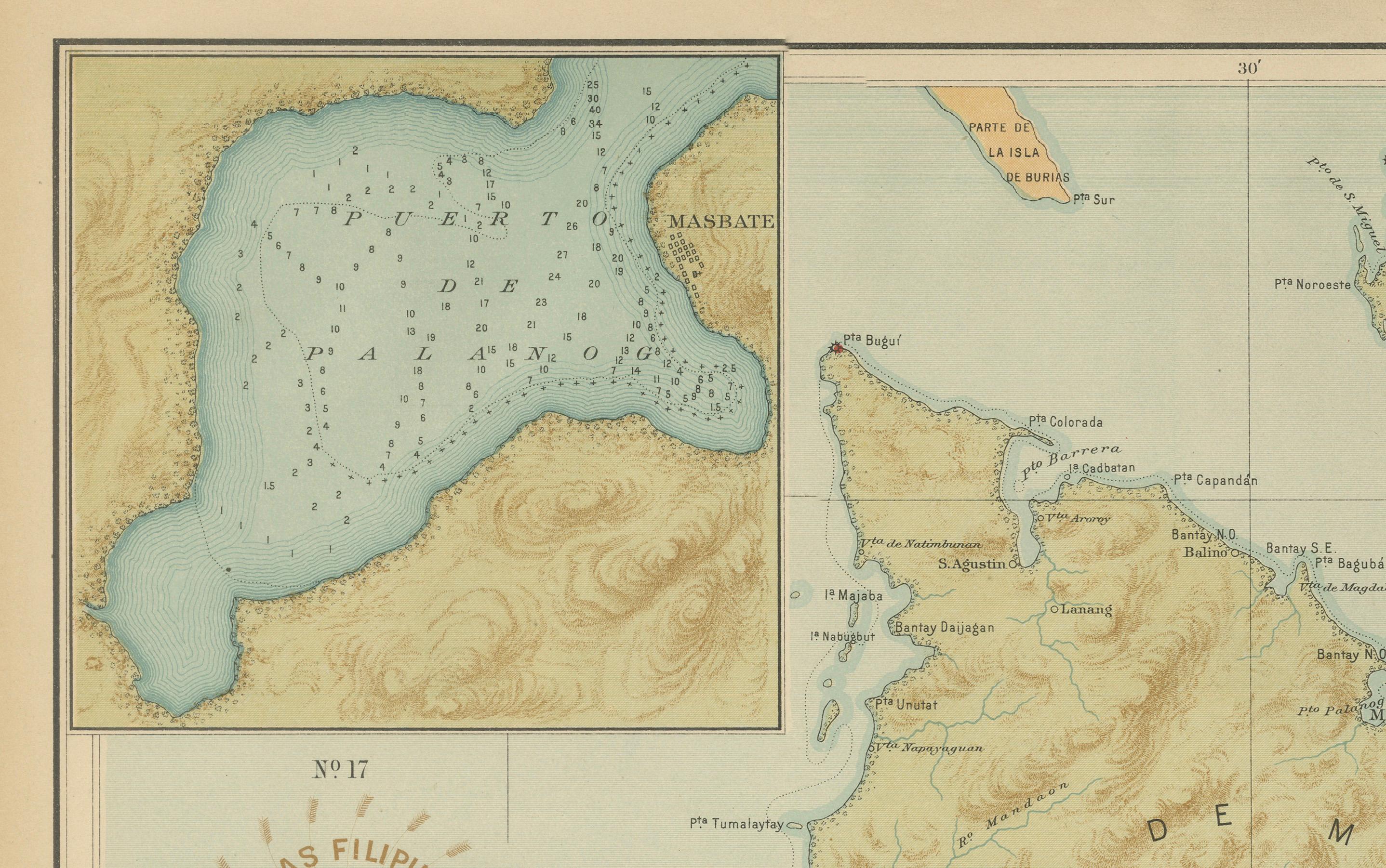
An inset at the upper left provides an enlarged view of the harbor of Masbate, complete with soundings, coastal contours, and navigational details. The legend (“Signos”) at lower left distinguishes symbols for cabeceras (capitals), pueblos (towns), and barrios, reflecting the Jesuit Observatory’s systematic cartographic methodology. The circular stamp of the “Observatorio de Manila” and the embossed seal of the “U.S. Coast and Geodetic Survey” authenticate this as part of the 1900 U.S. Government edition of the *Atlas of the Philippine Islands*, printed in Washington.
This map, drawn entirely by Filipino draftsmen under Jesuit direction, exemplifies the late 19th-century transition between Spanish scientific exploration and early American administrative mapping. It remains one of the most attractive and accurate early cartographic representations of the Masbate region.
Condition: Excellent, with crisp original coloring and minimal age toning. The paper is bright and strong, with clear institutional embossing.
Framing tips: A natural or dark-stained wood frame with a cream mat complements the map’s subtle maritime palette and enhances its decorative appeal in nautical or historical settings.
Technique: Chromolithograph on paper
Maker: Rev. José Algué, S.J., Observatorio de Manila, 1899