About this sheet
Antique Map of the Environs of Cap-Français, Saint-Domingue, c.1760
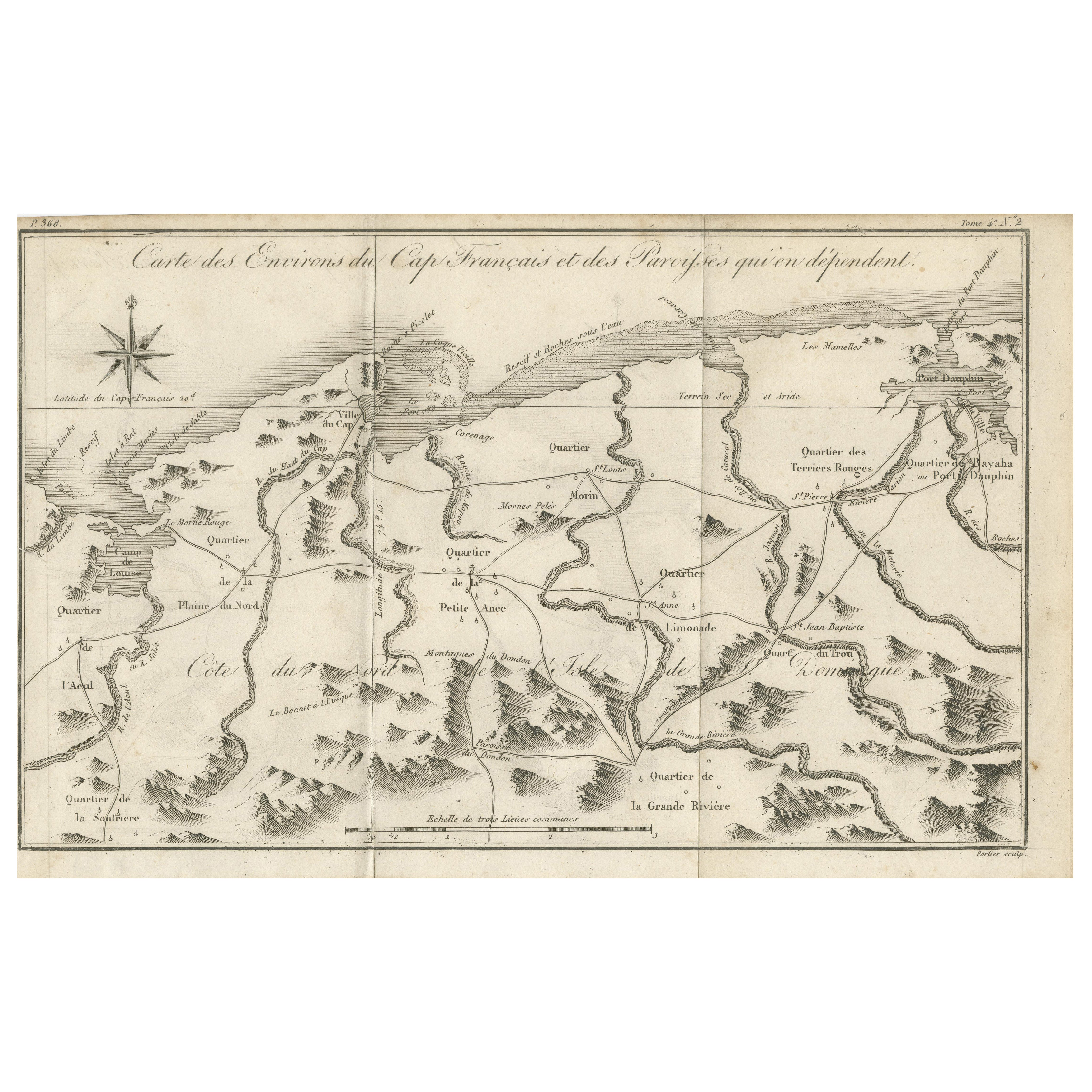
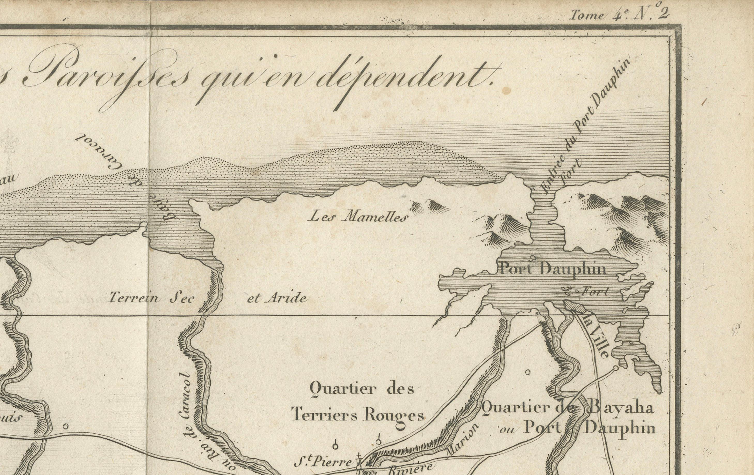
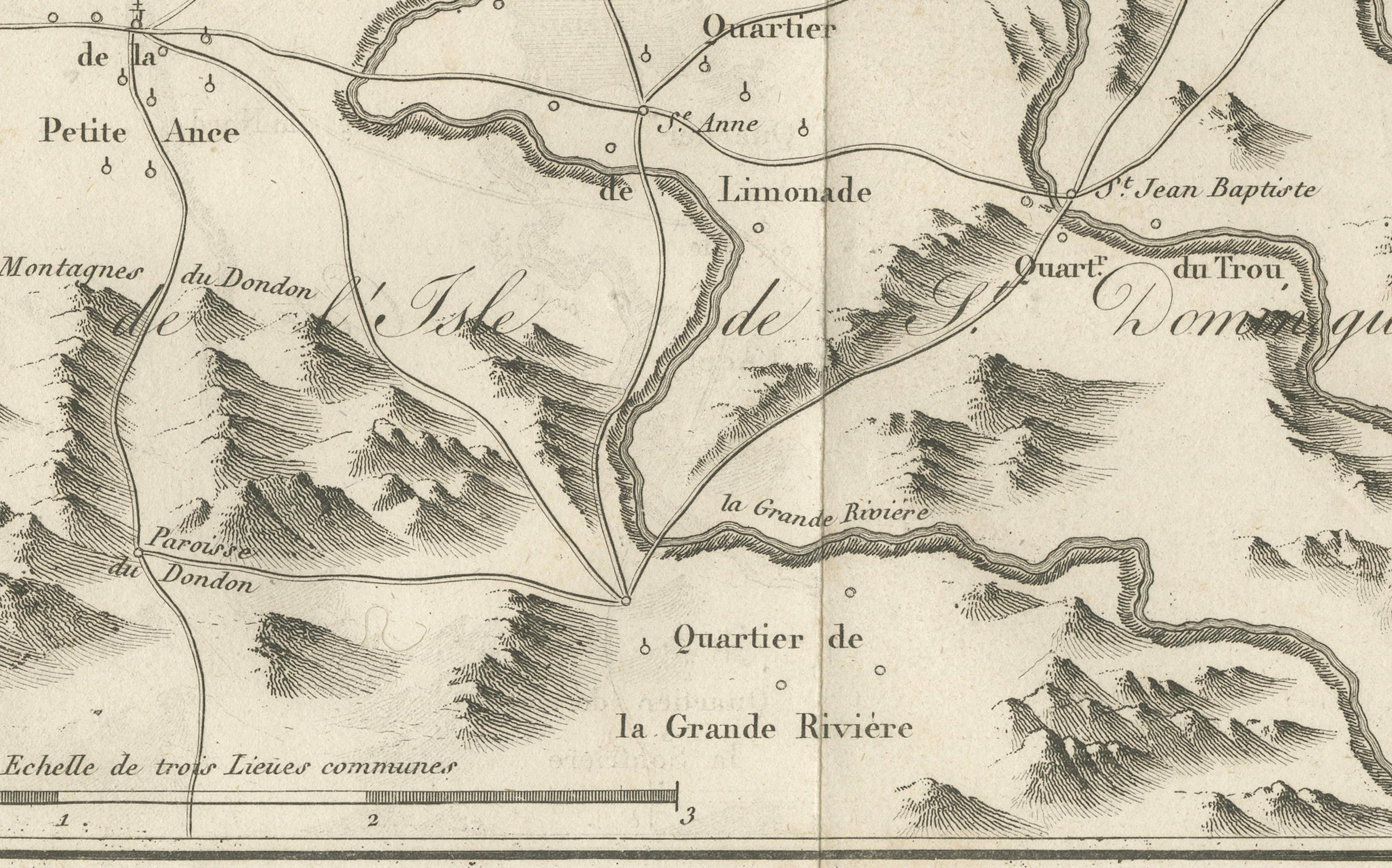
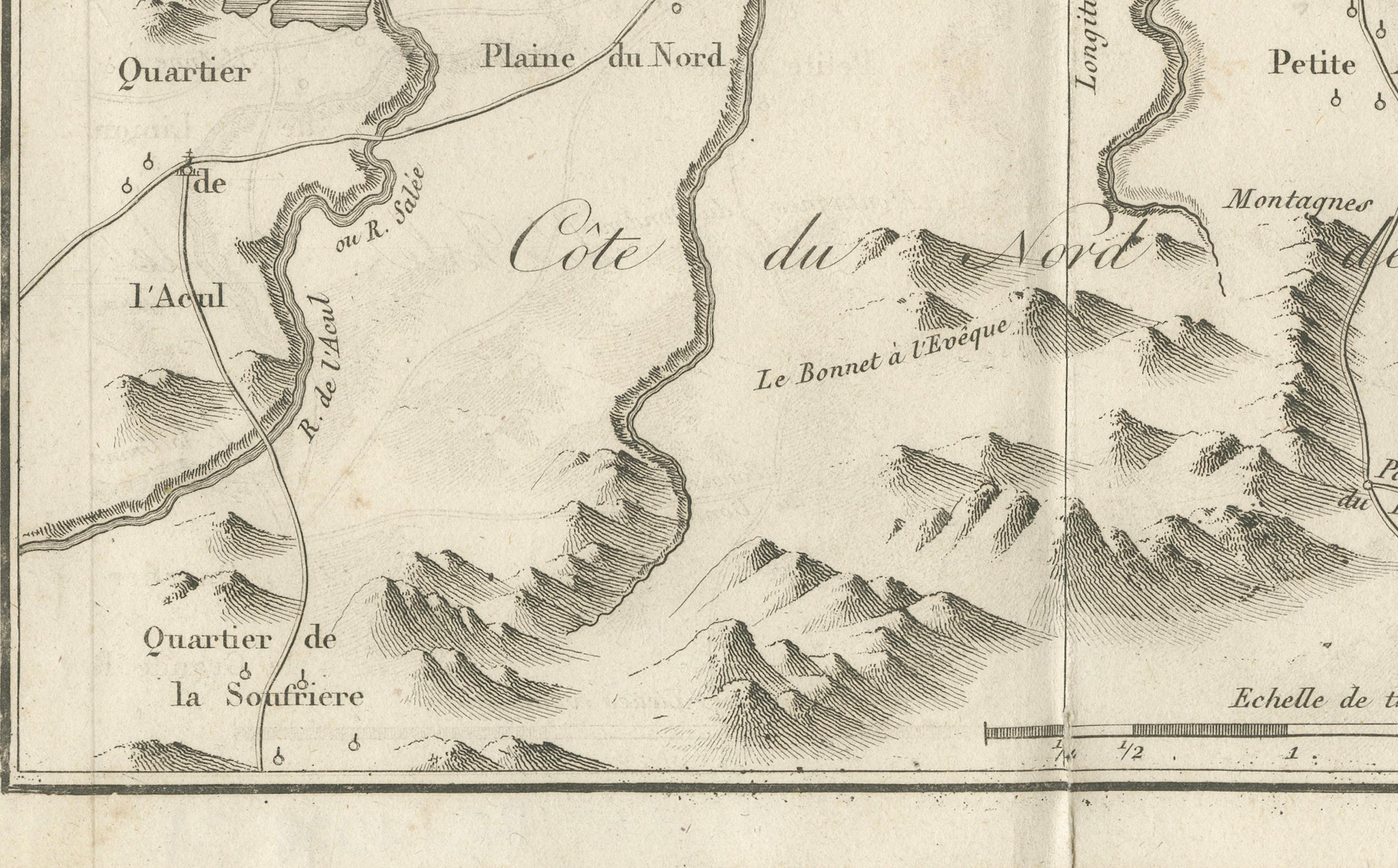
This detailed 18th-century copperplate engraving, titled Carte des Environs du Cap Français et des Paroisses qui en dépendent, depicts the surrounding area of Cap-Français (now Cap-Haïtien) on the north coast of the French colony of Saint-Domingue, present-day Haiti. The map extends along the coastline from Port Dauphin in the east to L’Acul in the west, and inland to the mountainous interior.
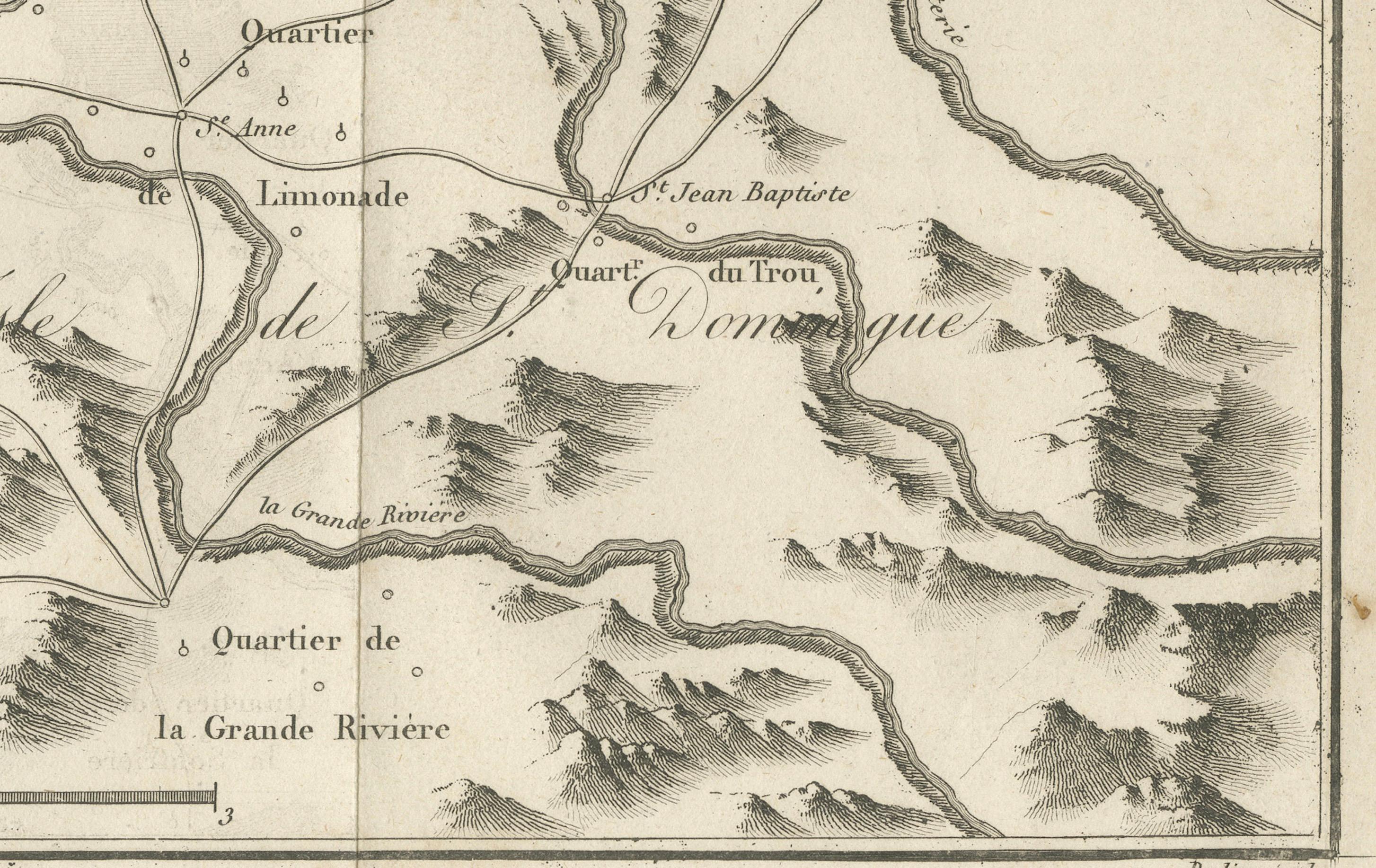
Key settlements, parishes (paroisses), and quarters are labeled, including Plaine du Nord, Quartier de la Grande Rivière, Quartier de la Soufrière, and Quartier des Terriers Rouges. Roads and rivers are clearly delineated, showing the connections between coastal towns and inland plantations. Mountain ranges are depicted pictorially, giving a sense of the rugged terrain that separated the fertile plains from the interior.
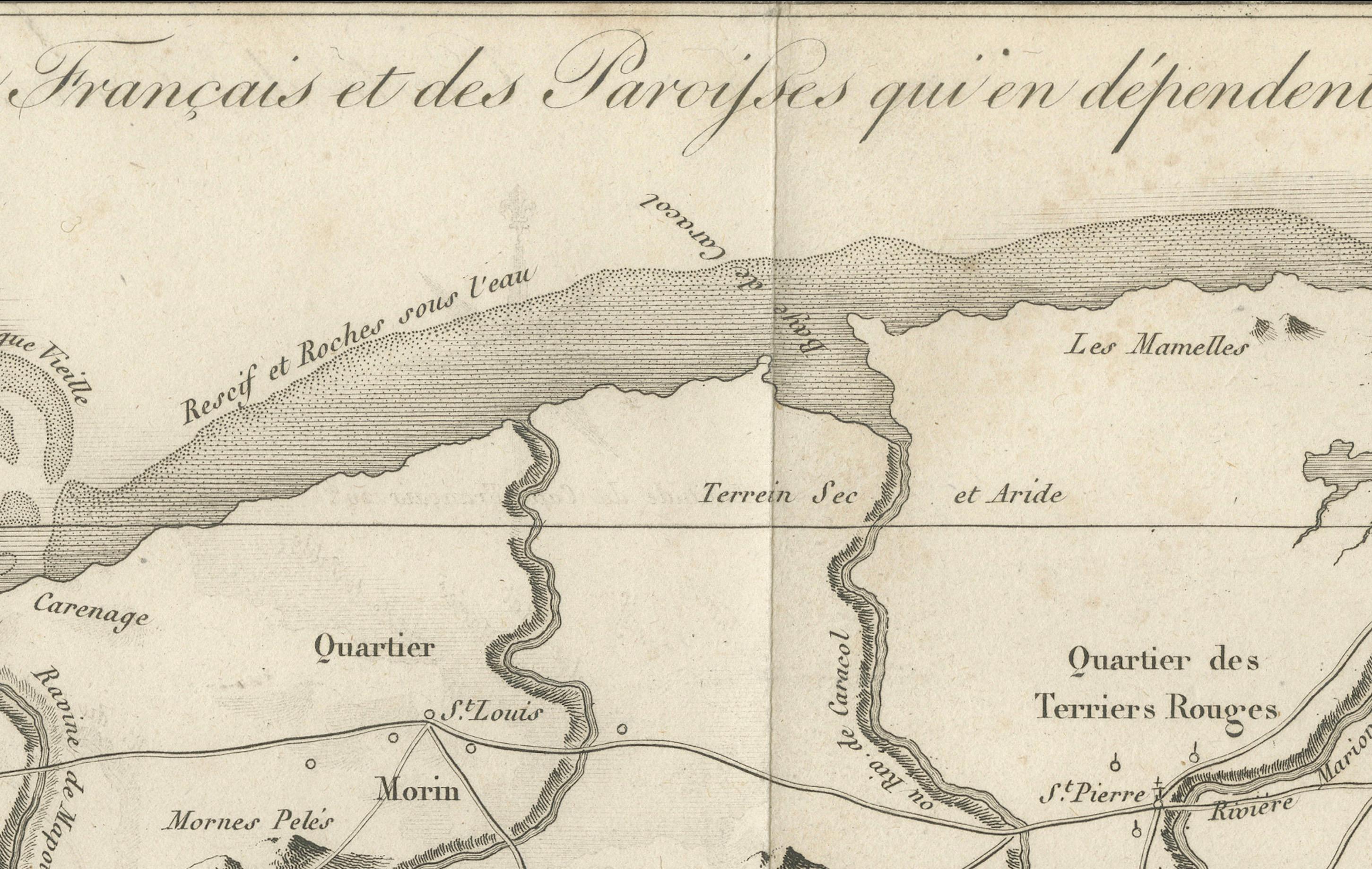
The map includes maritime features such as reefs, sandbanks, and ports, notably the harbour of Cap-Français itself, with the nearby Carénage and La Caye Vieille. Fortifications, such as Fort Dauphin, are also indicated. A large compass rose in the upper left provides orientation, and the scale is given in common French leagues.
Engraved by Porlier (Porlier Sculp.), this plate is marked “Tome 8, N° 2,” identifying it as part of a larger Enlightenment-era travel and colonial history series. During the mid-18th century, Cap-Français was the wealthiest city in the Caribbean and the center of the sugar trade in Saint-Domingue, making it a frequent subject of maps and engravings for European audiences interested in colonial commerce and expansion.
Condition: Very good for age, with a central fold as issued. Light toning and a few faint handling marks in margins. Strong plate impression with crisp detail in both topography and settlement layout.
Framing tips: A black or dark wood frame with a cream or light tan mount will complement the fine engraving work. This map pairs well with other 18th-century Caribbean or colonial maps for thematic display.
Technique: Copperplate engraving
Maker: A. Porlier, French school, c.1760