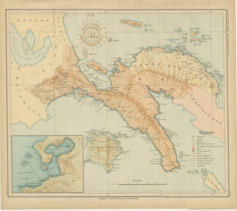
Topographic & Meteorological Map, Northern Luzon – Observatorio de Manila, 1899
€ 440
Original antique · The actual sheet photographed · Certificate of authenticity on request · Sold unframed · Worldwide shipping from € 15 (rates)
Date
1899
Mapmaker / artist
Rev. José Algué, S.J., Observatorio de Manila, 1899
Technique
Chromolithograph on paper
Sheet size
37 × 32.5 cm (14.6 × 12.8 in)
Condition
Excellent
Reference
BG-12176-7
What the condition grades mean
Excellent
Bright and clean, with no faults worth mentioning.
Very good
Only light signs of age, such as faint toning.
Good
Normal signs of age for a sheet of this period: toning, some foxing, small marks or neat old repairs.
Fair
Clear faults such as staining, tears or repairs, priced to match.
Every fault we see is written in the condition note, and the whole sheet is shown uncropped in the photos.
Condition
With original hand-colored chromolithography, slight age toning to margins, and wide clean borders. Stamped and embossed seals remain crisp and fully legible.
About this sheet
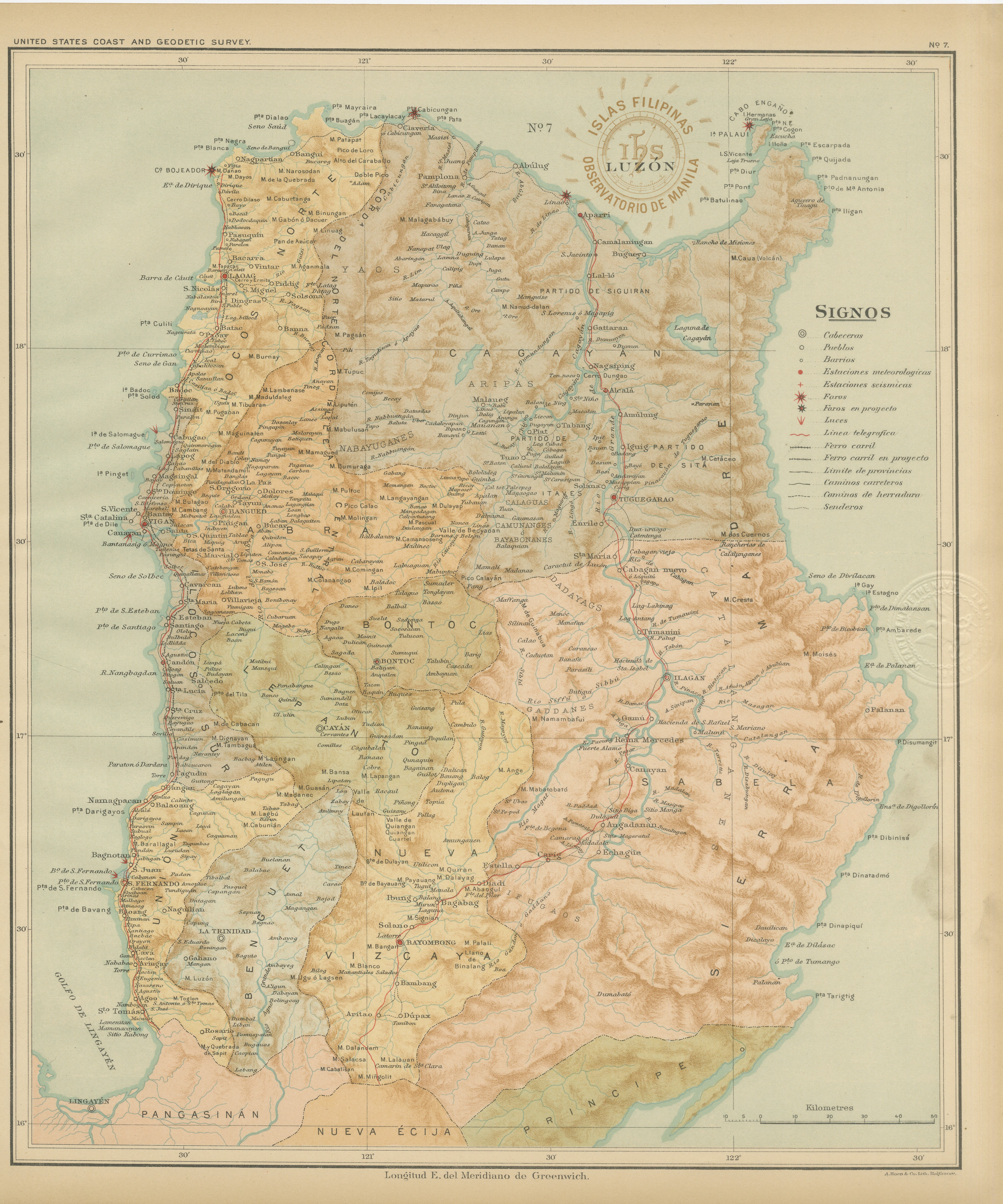
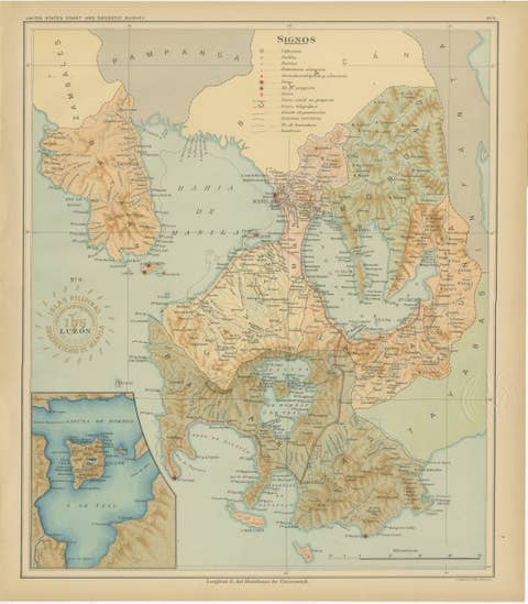
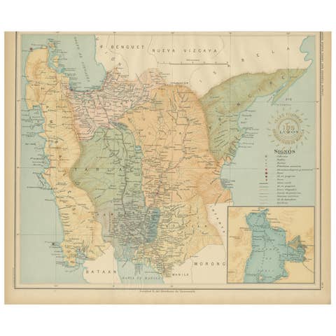
Topographic and Meteorological Map of Northern Luzon – Observatorio de Manila, 1899
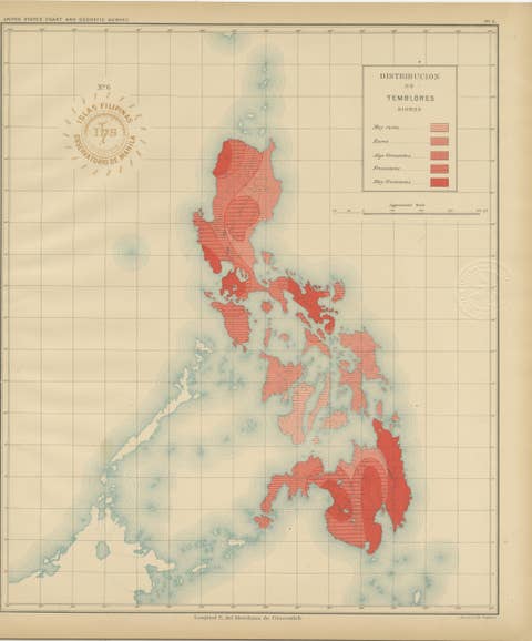
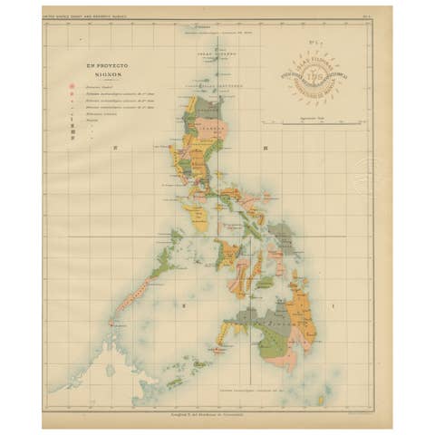
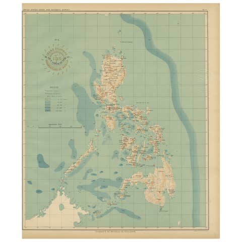
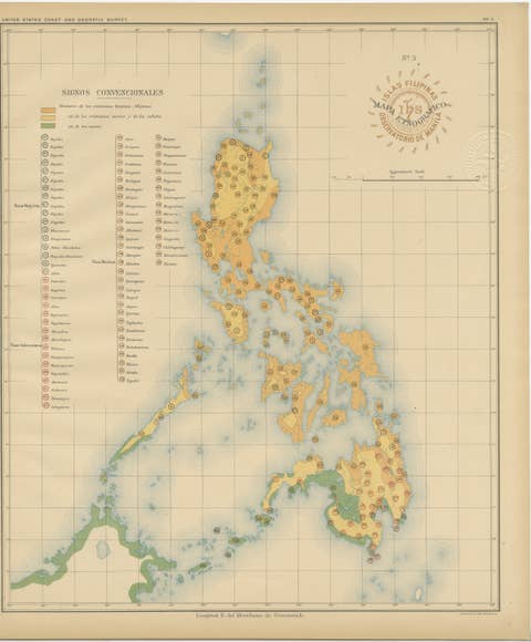
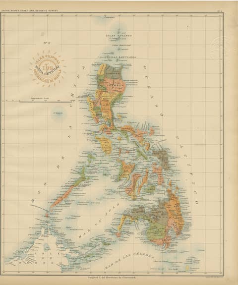
This beautifully detailed chromolithographed map, titled “Islas Filipinas – Luzón,” was produced under the direction of Rev. José Algué, S.J., Director of the Observatorio de Manila, and published in 1899 as Plate No. 7 from the Atlas de Filipinas. It represents one of the earliest scientifically accurate topographic and meteorological maps of Northern Luzon, the largest island of the Philippines.
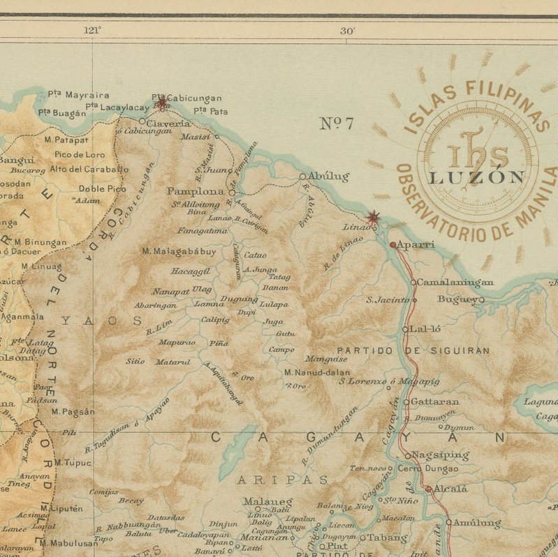
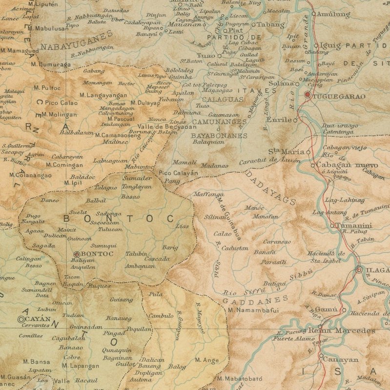
The map displays remarkable precision in depicting Luzon’s geography, including mountain ranges, rivers, valleys, and coastal settlements. Relief shading in soft brown and green tones conveys the region’s varied elevation—from the Cordillera mountain system in the west to the Sierra Madre range along the eastern coast. Key cities such as Vigan, Baguio, and Lingayen are identified, along with numerous smaller pueblos and mission settlements.
The legend (“Signos”) provides a detailed classification of the symbols used: observatories, meteorological and seismic stations, telegraph lines, and existing or planned railway routes are all noted. Red lines mark main communication routes, reflecting the expanding scientific and infrastructural network of the late 19th century. The red circular stamp “Observatorio de Manila” and the embossed seal of the “U.S. Coast and Geodetic Survey” attest to the map’s dual publication — originally compiled by Filipino draftsmen under Jesuit supervision and later reproduced in Washington in 1900 for the U.S. Government’s Atlas of the Philippine Islands.
This map is not only an outstanding example of 19th-century Jesuit cartography but also an important scientific artifact, documenting the early integration of meteorological and topographic data in Philippine mapping. It represents the intellectual legacy of the Manila Observatory and its contribution to early modern geography in Asia.
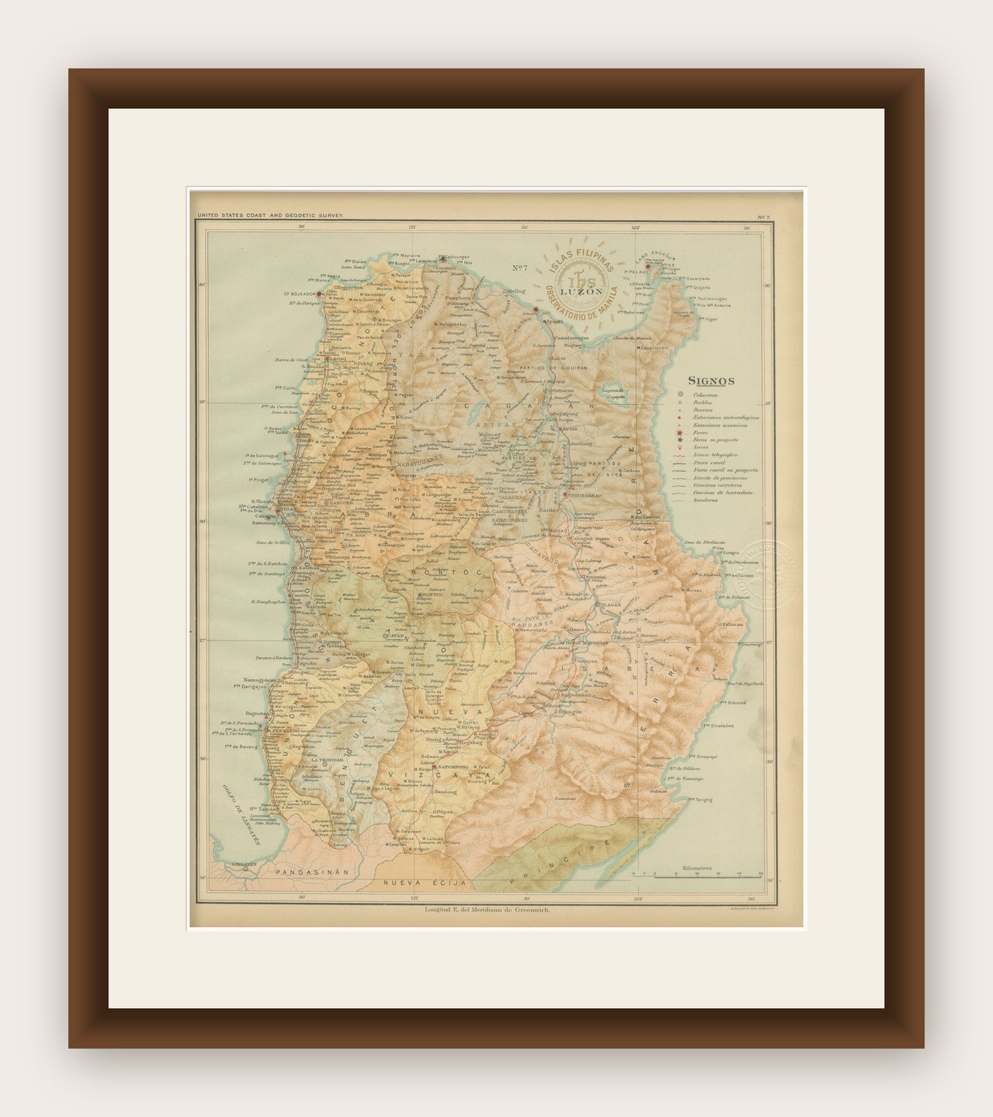
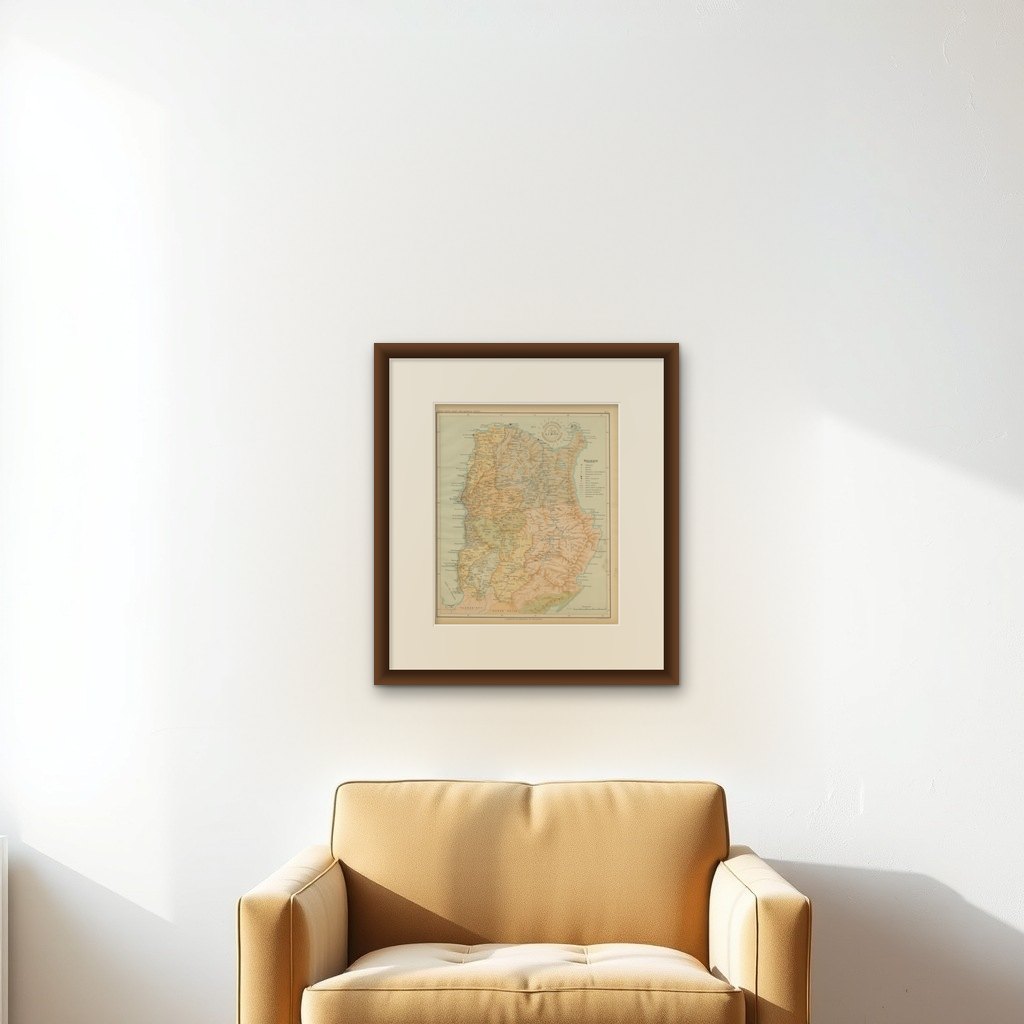
Framing tips: Best presented in a light oak or walnut frame with a cream mat to enhance the natural tones of the relief shading and highlight the historical beauty of the print.