About this sheet
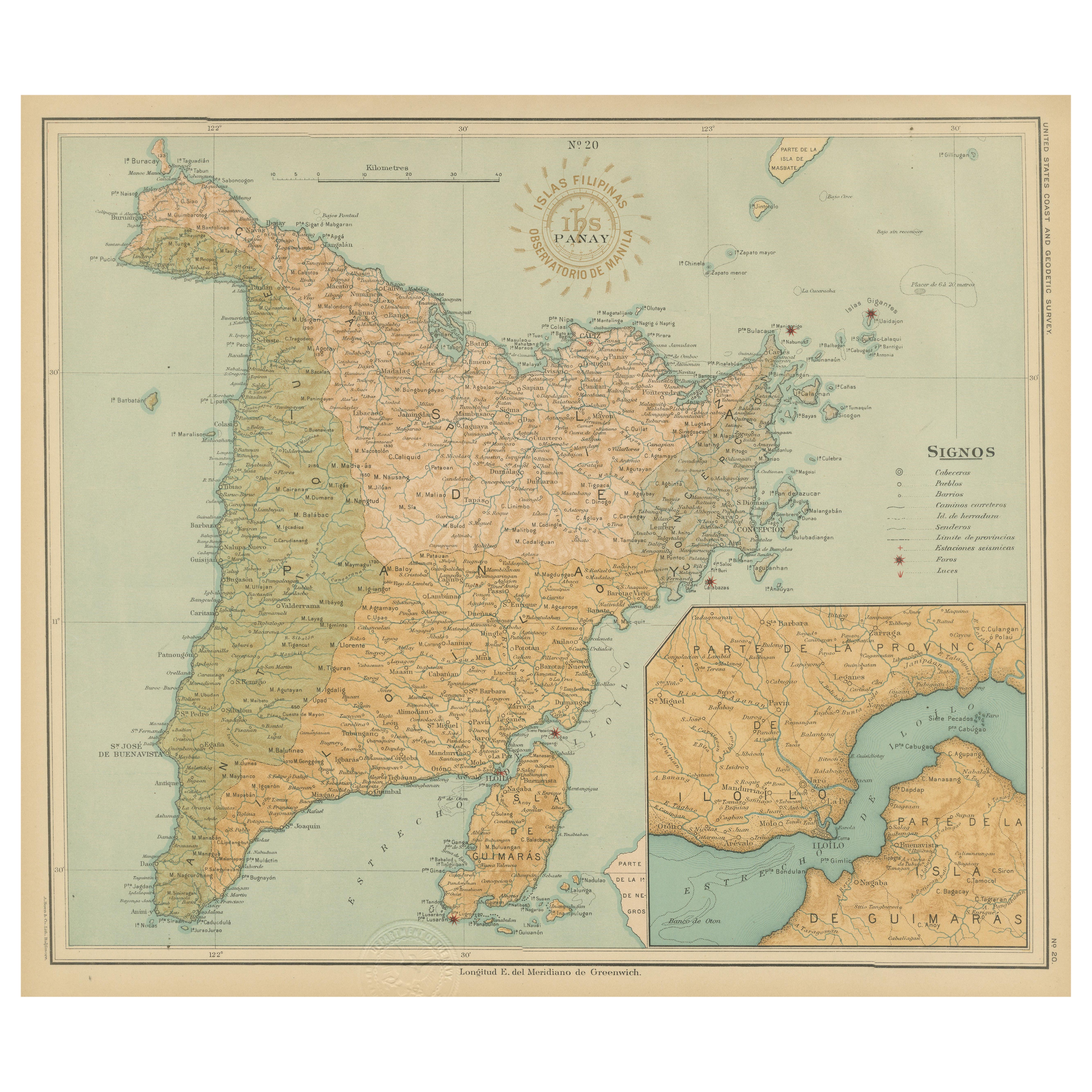
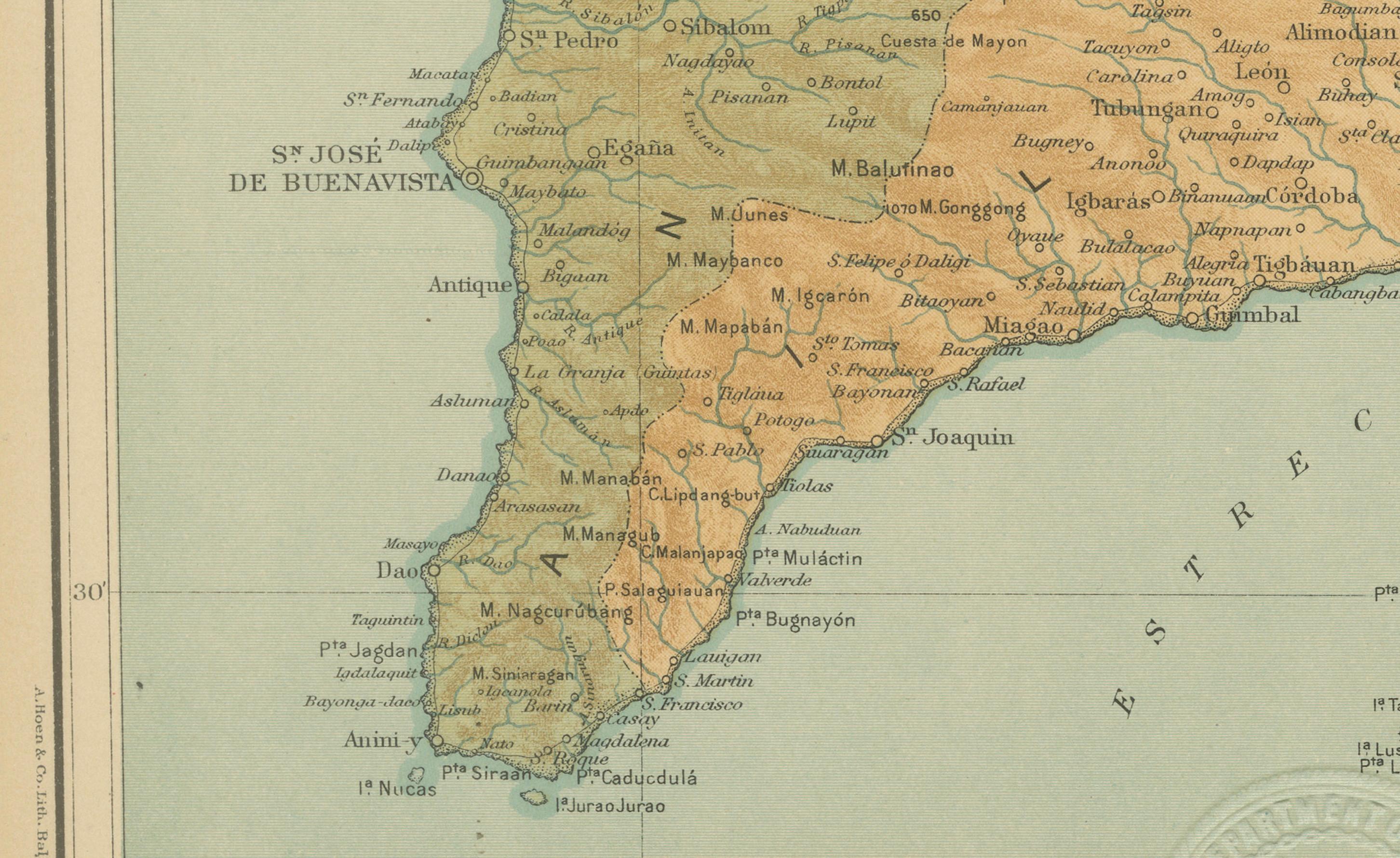
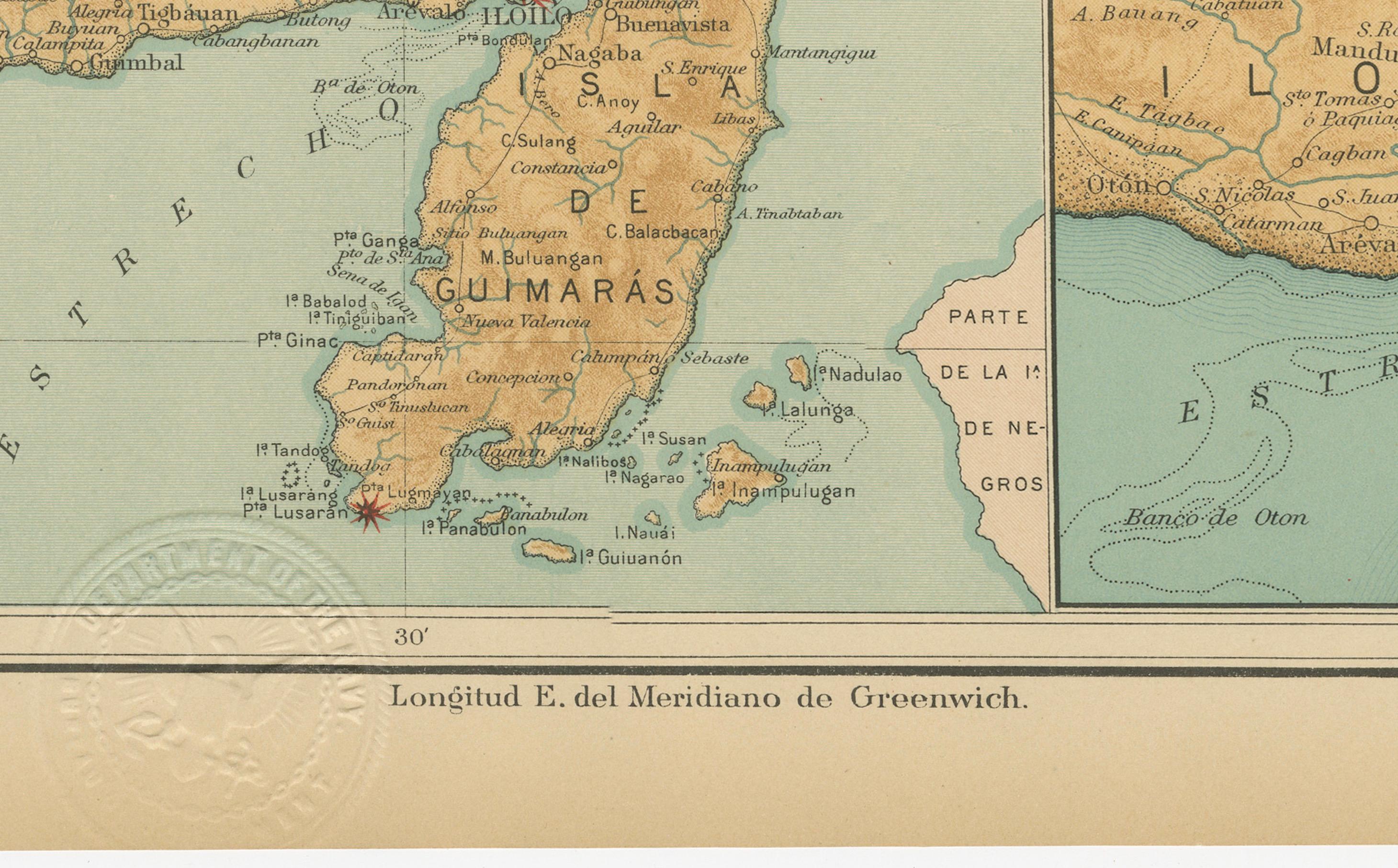
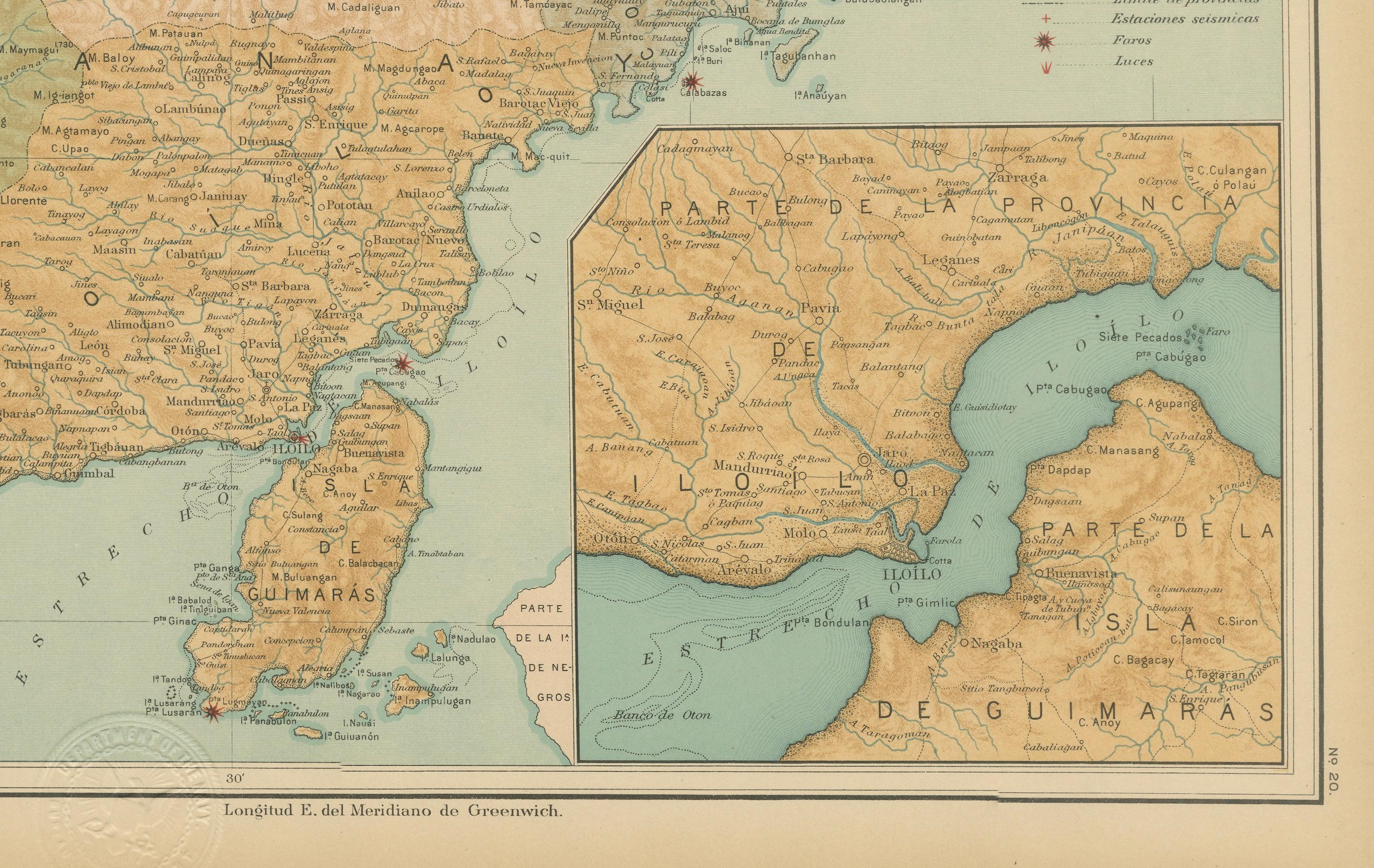
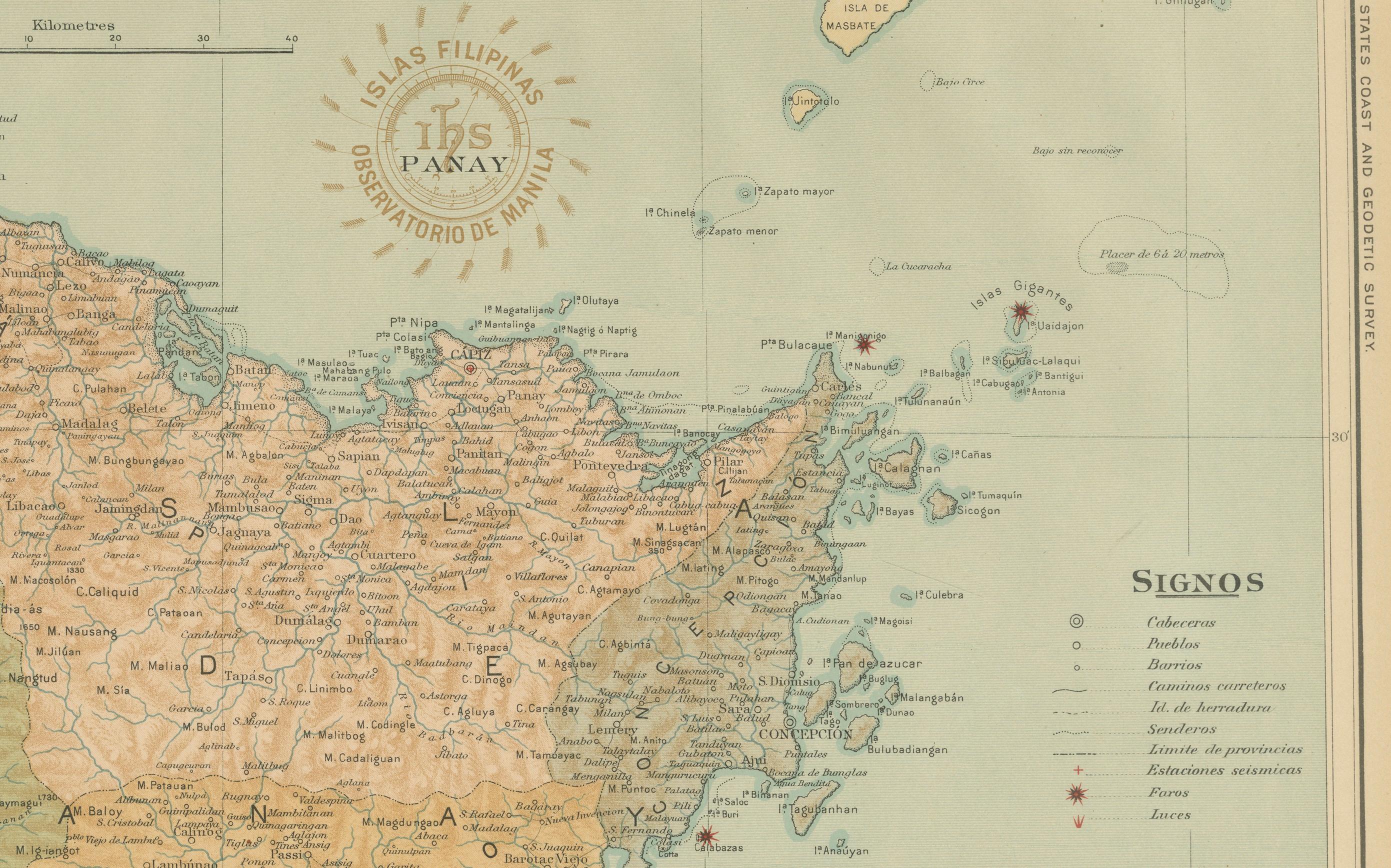
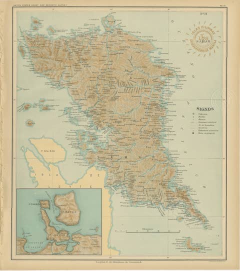
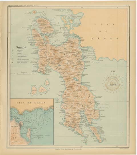
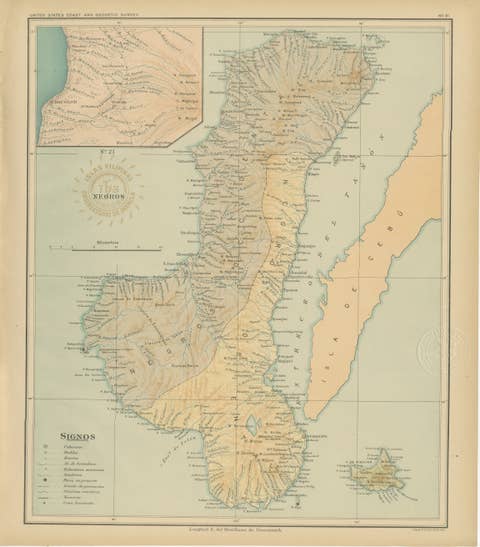
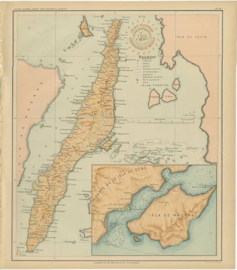
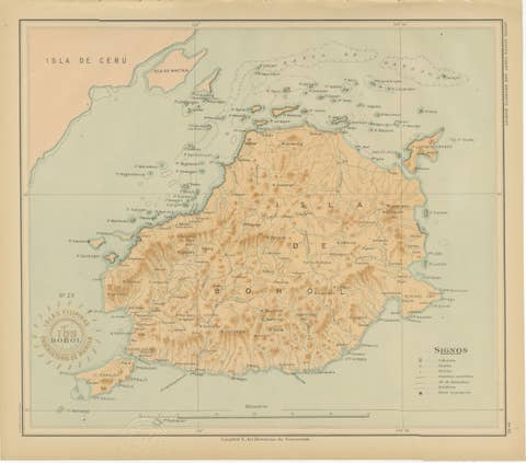
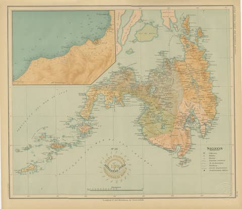
This richly detailed chromolithographed map titled “Islas Filipinas – Isla de Panay” was created under the direction of Rev. José Algué, S.J., Director of the Observatorio de Manila, and published in 1899 as Plate No. 20 from the Atlas de Filipinas. The map presents the island of Panay, one of the central islands of the Visayas group, known for its mountainous terrain, fertile valleys, and extensive coastal settlements.
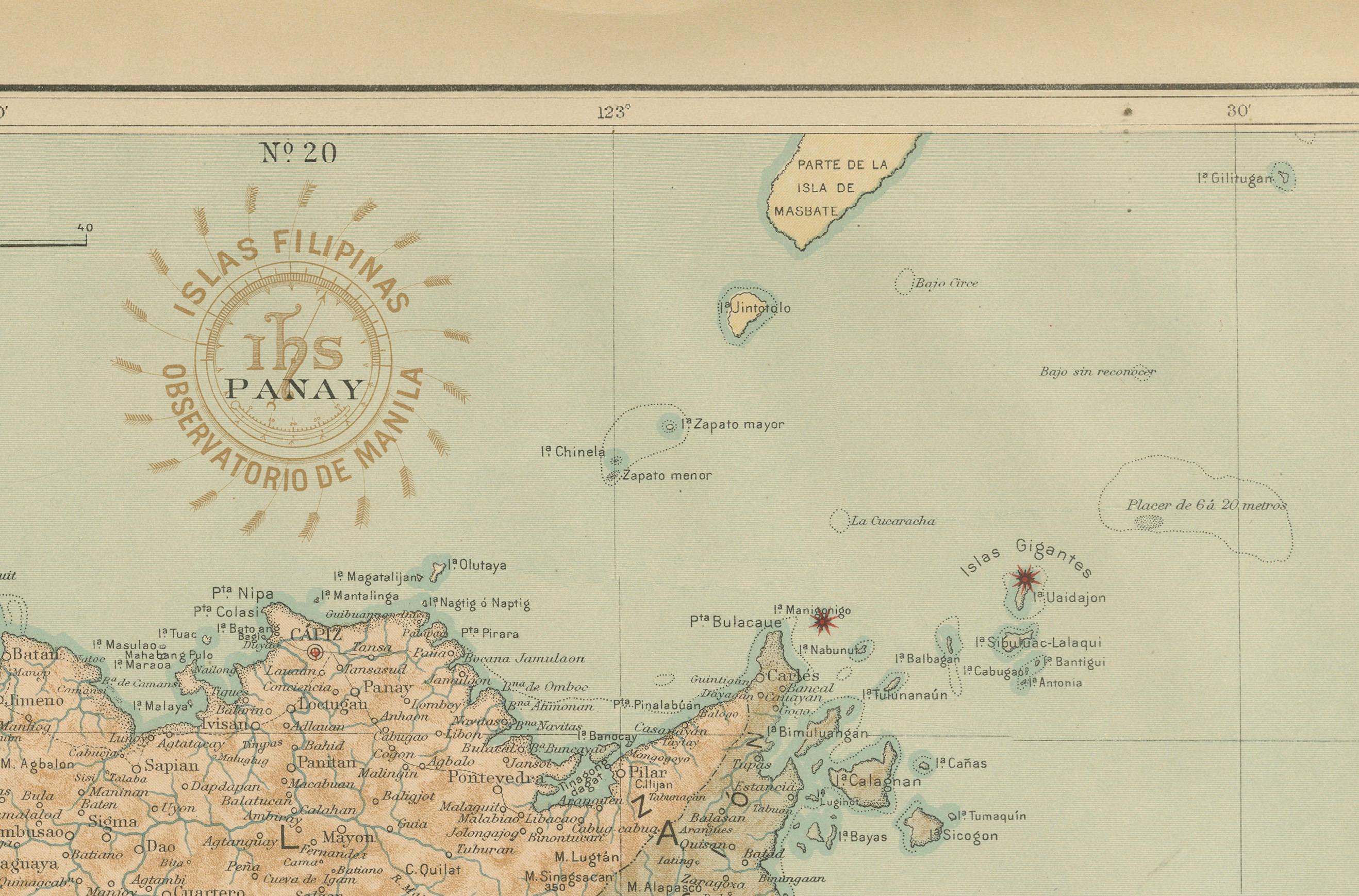
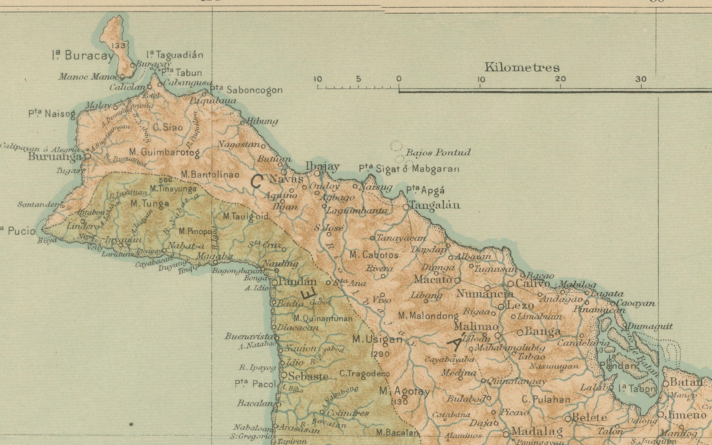
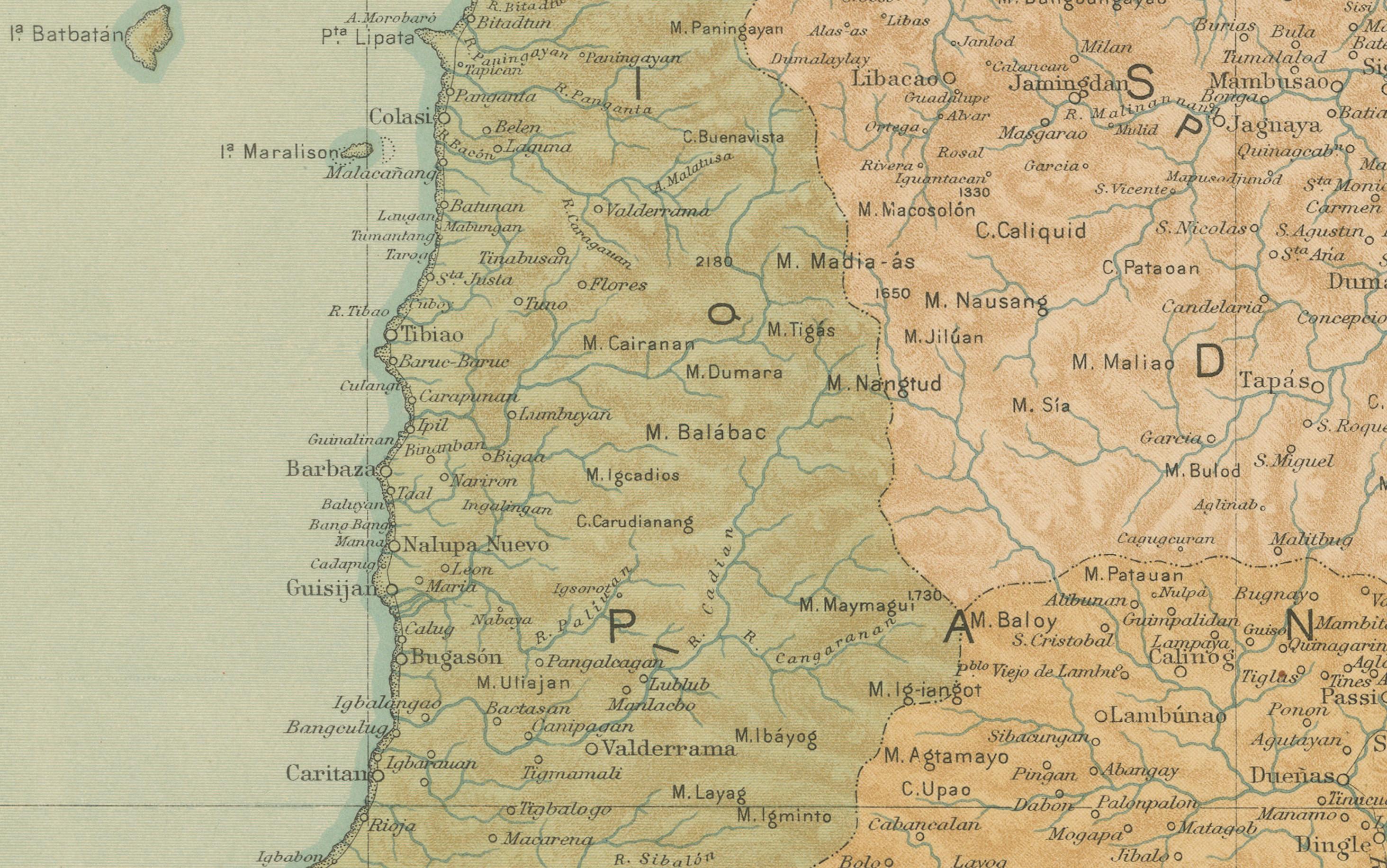
Executed with the characteristic precision of the Jesuit Observatory, the map depicts Panay in exceptional topographic and hydrographic clarity. Warm brown shading marks the mountain ranges that stretch across the island, while rivers, roads, and political divisions are meticulously delineated. Major towns such as Iloilo, Capiz, and Antique are prominently labeled, along with many smaller pueblos, barrios, and ports that reflect the island’s rich colonial and maritime history.
The inset at the lower right corner shows an enlarged view of the area around Iloilo and Guimaras Strait, one of the most important trading and shipping routes of the Visayas. The legend (“Signos”) lists administrative and scientific symbols including capitals, towns, and meteorological or seismological stations, underscoring the atlas’s scientific purpose as both a geographic and climatological survey.
The circular brown stamp of the “Observatorio de Manila” and the embossed seal of the “U.S. Coast and Geodetic Survey” authenticate the map as part of the 1900 *Atlas of the Philippine Islands*, issued by the U.S. Government Printing Office in Washington. Originally drawn by Filipino draftsmen under Jesuit supervision, these maps represent a collaborative achievement of Spanish scientific tradition and American technical publication.
Condition: Excellent, with crisp original coloring, strong paper, and minor age toning along the edges. Both stamps are clean and well-defined.
Framing tips: Best displayed in a natural or walnut wood frame with a cream mat, allowing the soft earth tones and fine detail to stand out. A striking choice for collectors of colonial-era cartography or Philippine history.
Technique: Chromolithograph on paper
Maker: Rev. José Algué, S.J., Observatorio de Manila, 1899