About this sheet
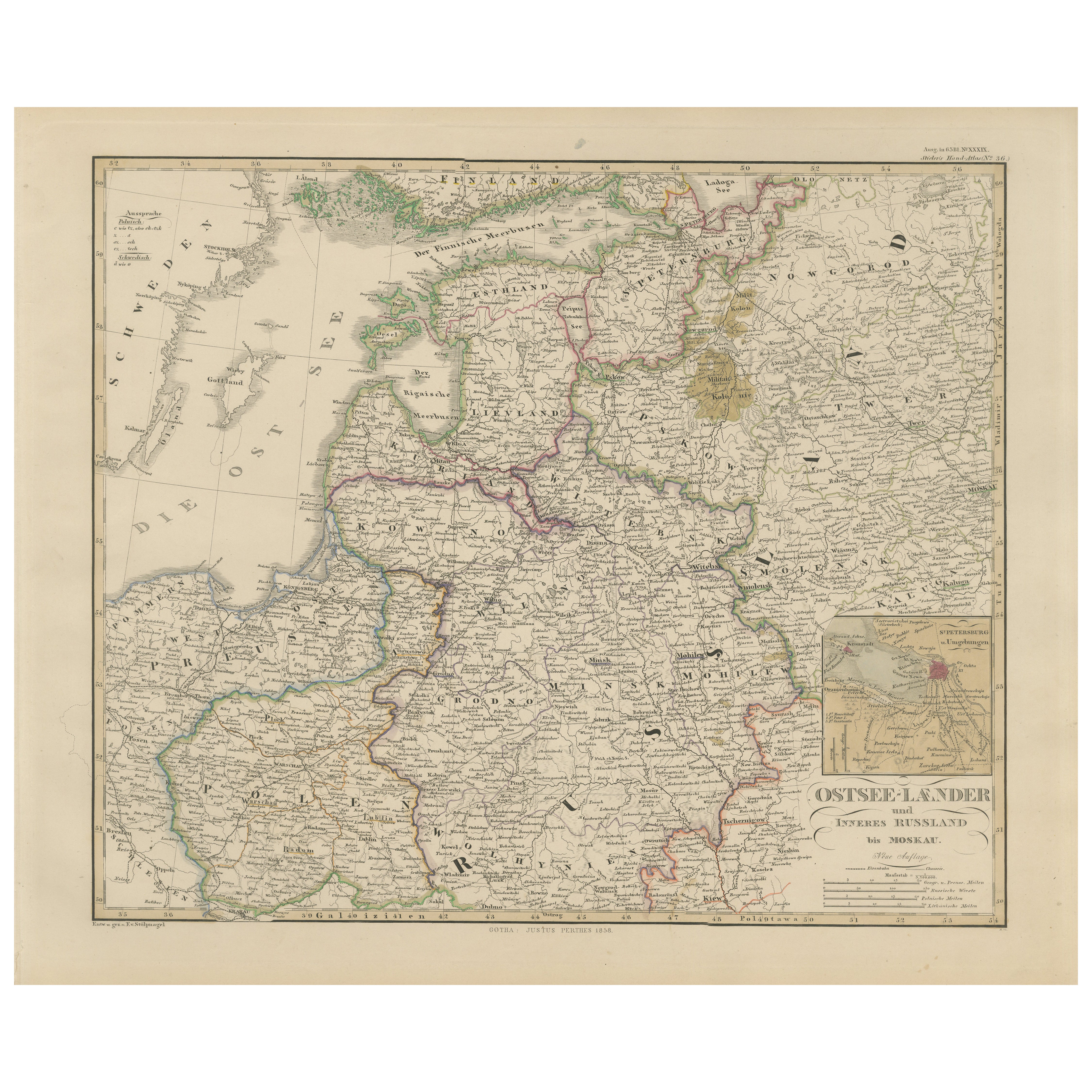
1858 Map of the Baltic States & Inner Russia to Moscow – Justus Perthes
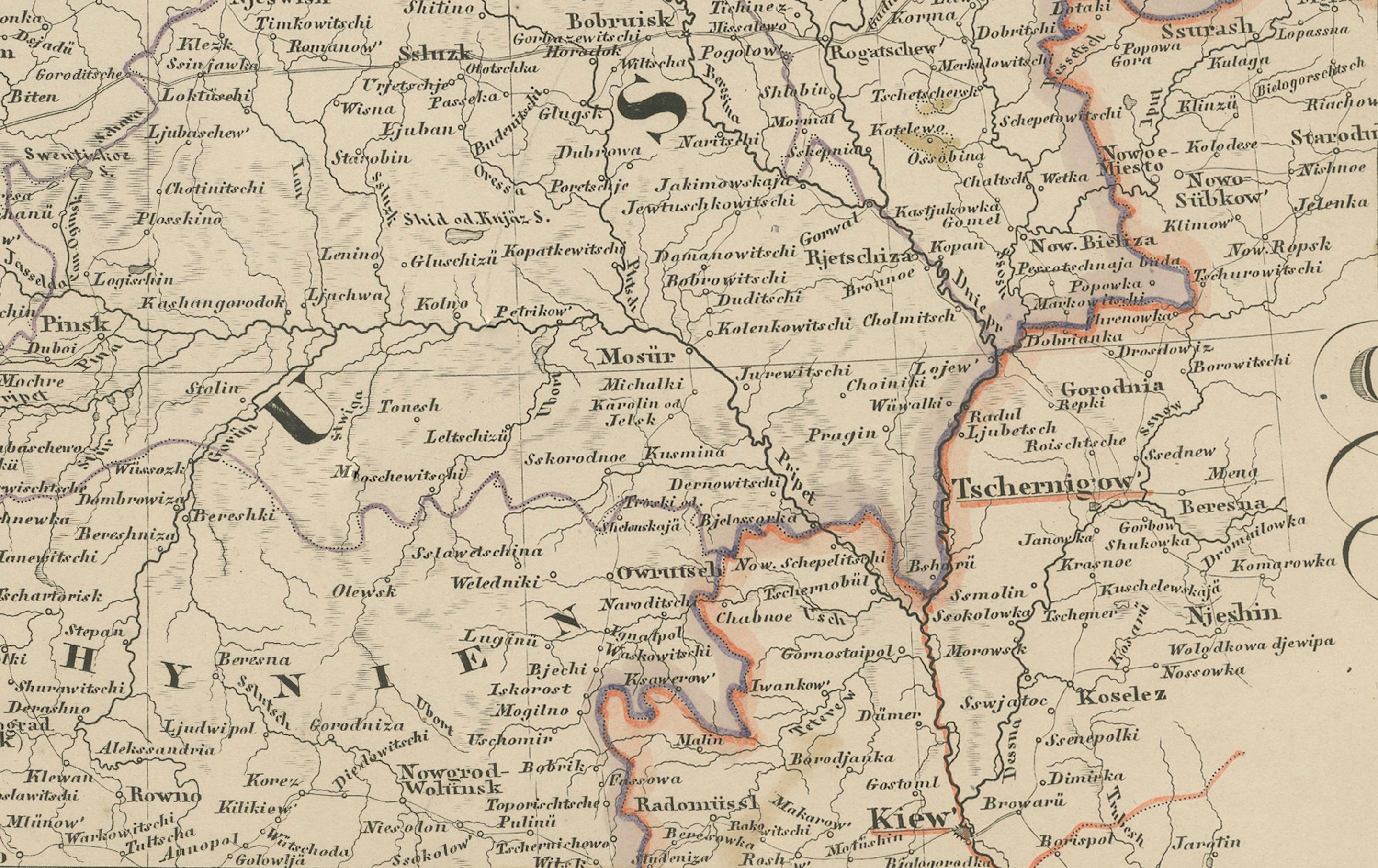
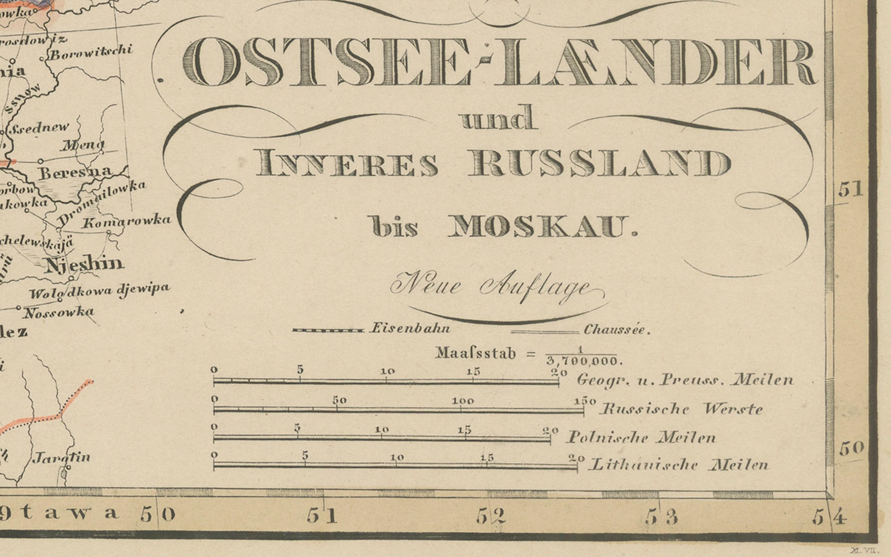
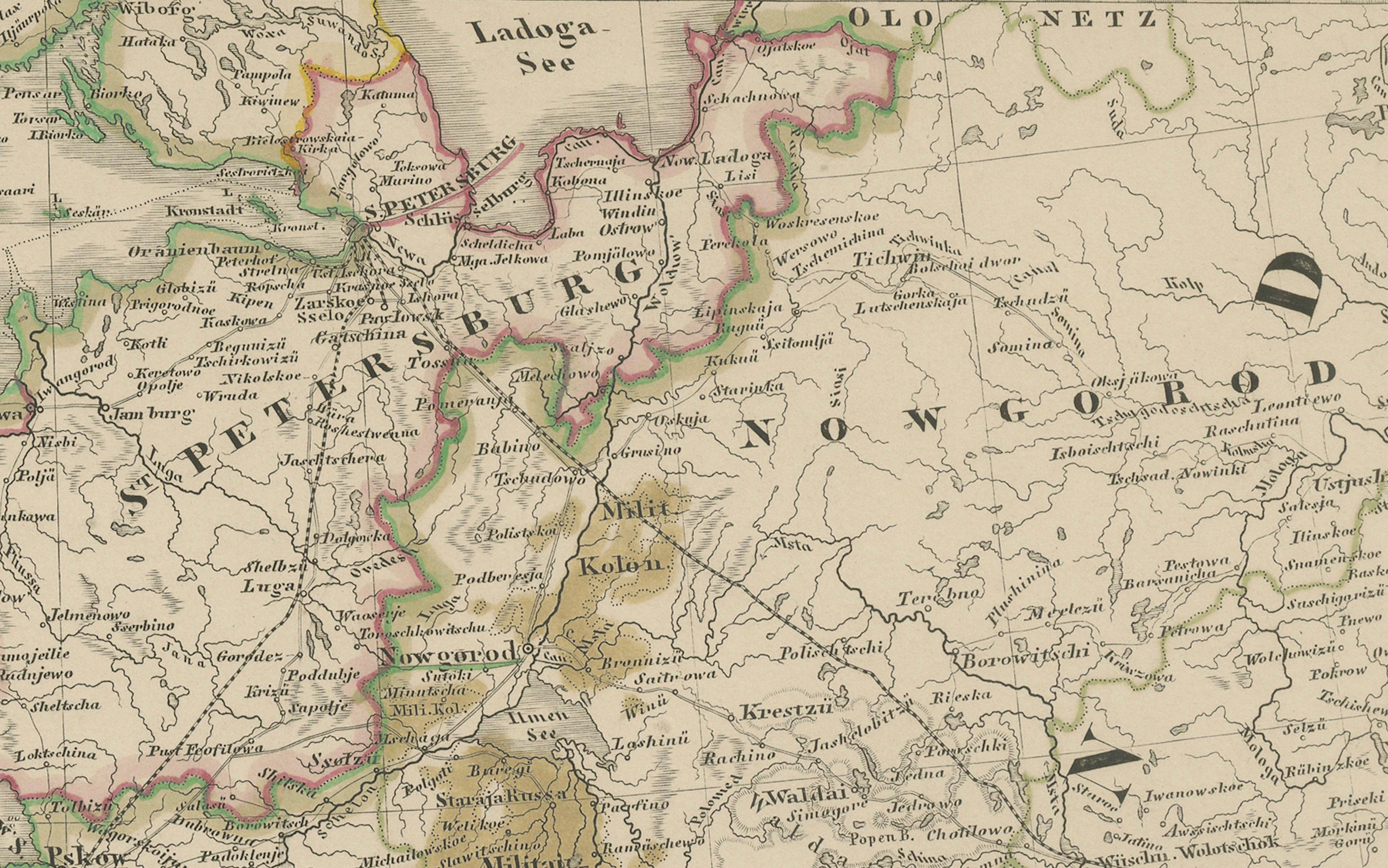
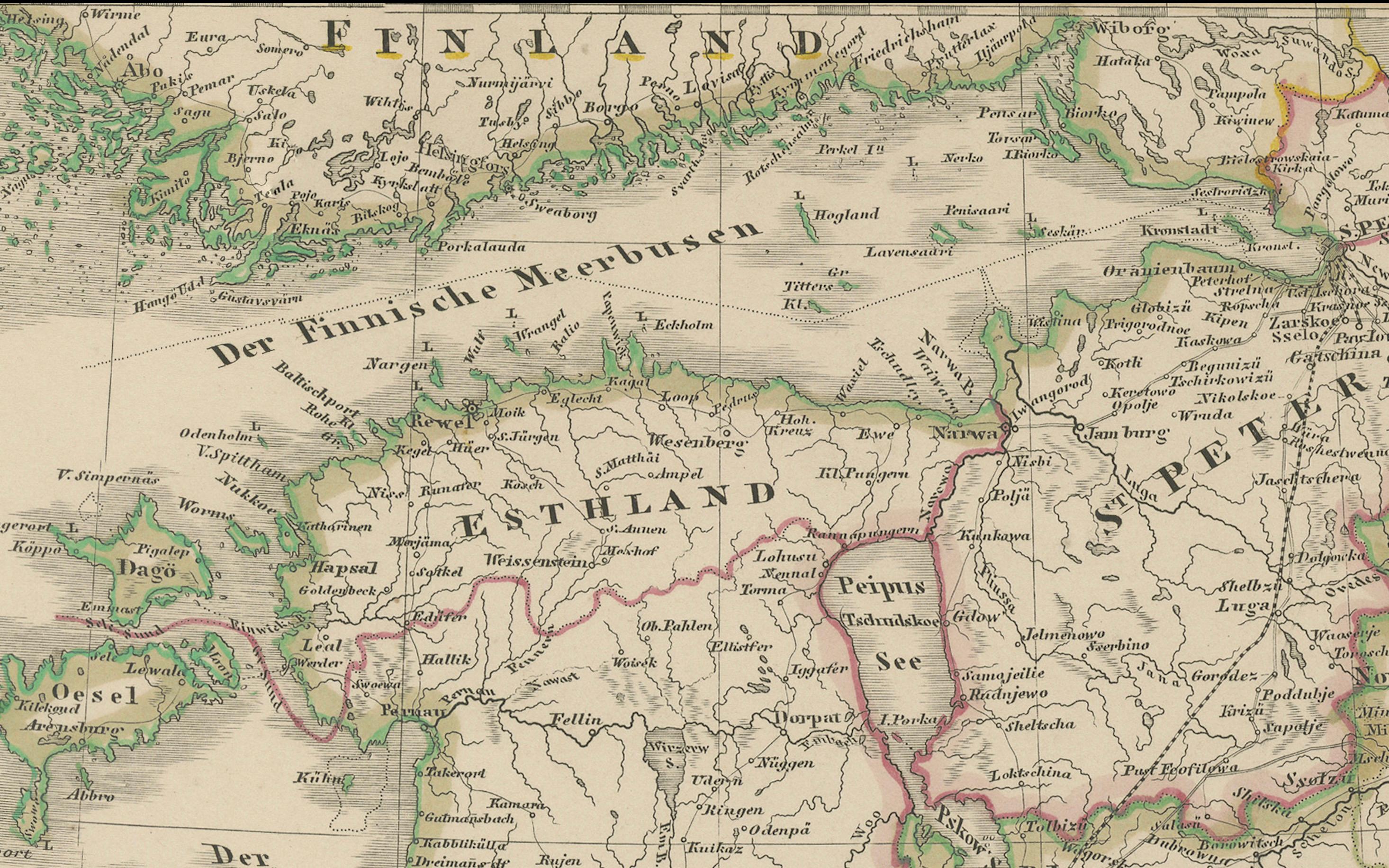
Antique map titled "Ostsee-Länder und das Innere Russland bis Moskau," published by Justus Perthes in Gotha in 1858. This finely detailed copperplate engraving presents a comprehensive view of the Baltic region and western Russia, stretching from the shores of the Baltic Sea across to Moscow.
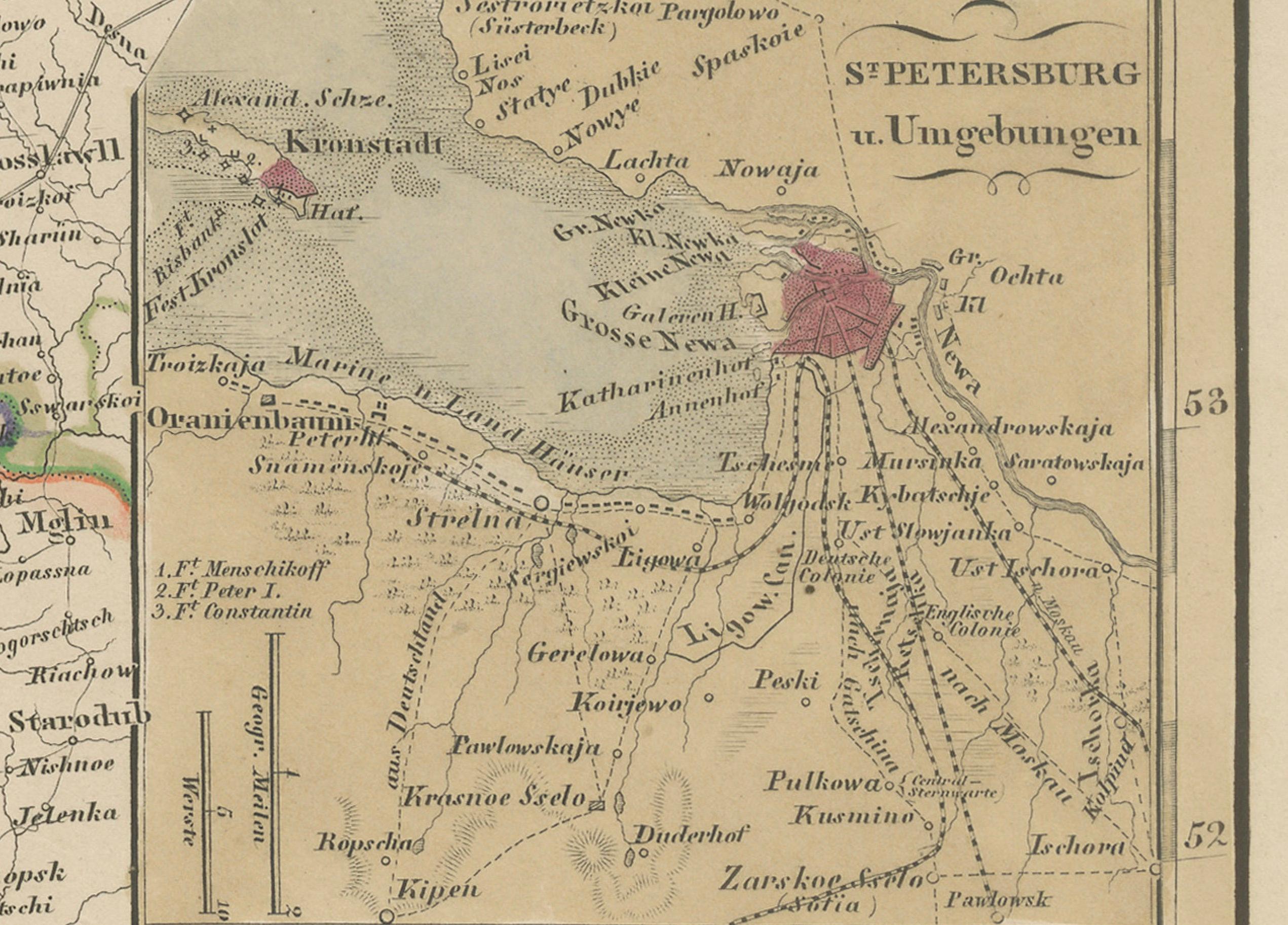
The map features the historical Baltic provinces—Estonia (Esthland), Latvia (Livland and Kurland), and Lithuania (Litauen)—alongside surrounding regions such as Poland, Belarus, Smolensk, and St. Petersburg. The inset at lower right provides an enlarged view of St. Petersburg and its surroundings, highlighting key rivers, roads, and defensive structures.
Political borders are hand-colored to distinguish various imperial and provincial divisions within the Russian Empire. Cities such as Riga, Vilnius, Minsk, Warsaw, and Moscow are prominently marked, along with roads, rivers, and rail connections. The coastline of the Baltic Sea (Ostsee) is finely engraved, as are parts of Finland and Sweden visible in the northwestern corner.
This map offers rich historical insight into a region deeply shaped by imperial expansion, shifting boundaries, and diverse ethnic identities in the 19th century. It is especially relevant for those interested in Russian imperial cartography, Baltic history, or geopolitical studies of Eastern Europe.
Condition report:
Very good condition. Slight age toning to margins. No tears or repairs. Original hand-coloring is clear and well-preserved. Please examine the image for details.
Framing suggestions:
Ideal in a black or deep mahogany wood frame with a pale ivory or grey mat. A thin red or blue accent line in the mat can emphasize the border colors. Suitable for display in a library, study, or historical setting.
Technique: Copperplate engraving with original hand-coloring
Maker: Justus Perthes, Gotha, 1858