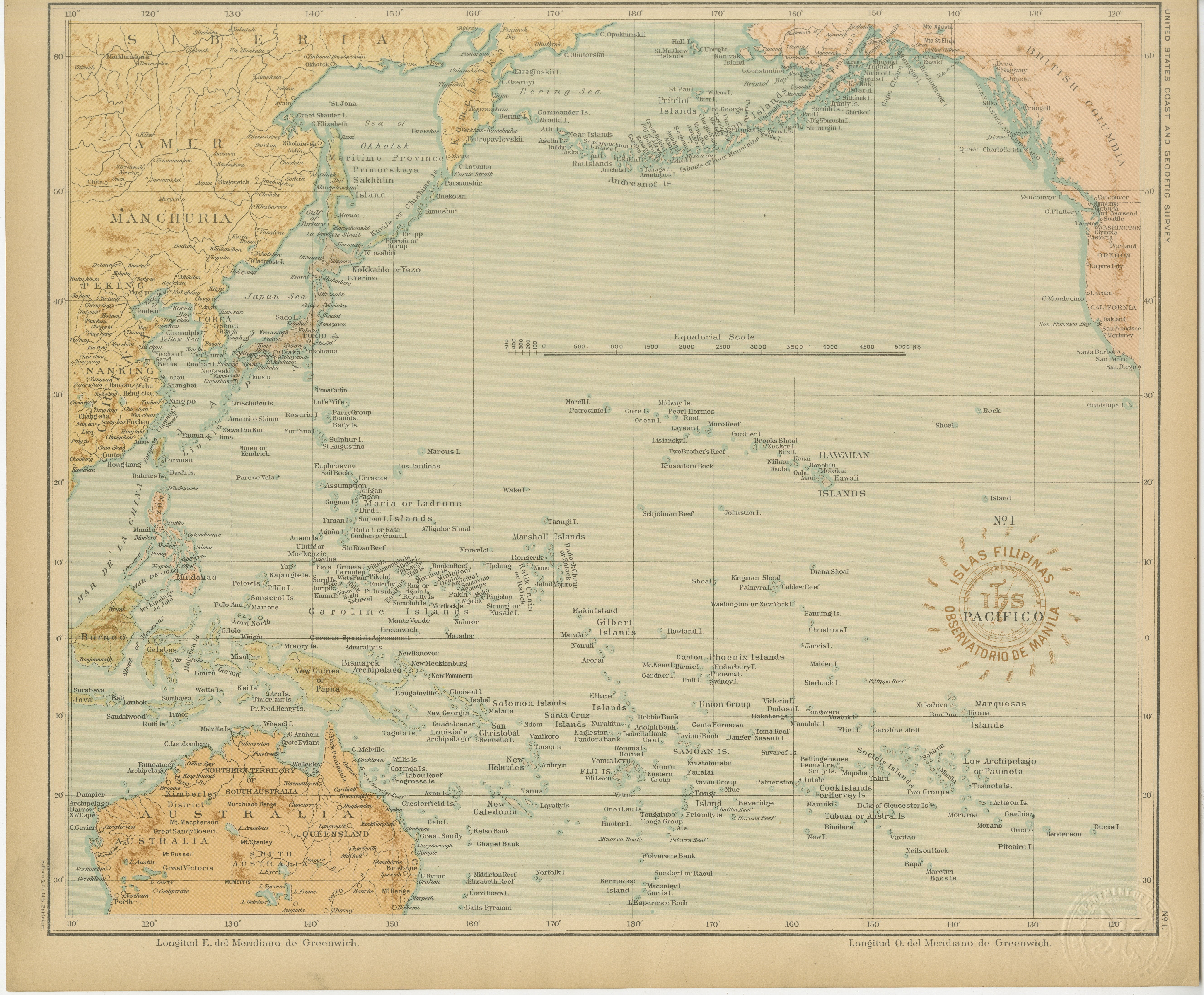
Map of the Pacific Ocean and Philippine Archipelago – Manila Observatory, 1899
€ 440
One of a kind: this is the sheet in the photographs. Ships from Langweer, the Netherlands.
Date
1899
Sheet size
32.5 × 37 cm (12.8 × 14.6 in)
Condition
Excellent
Reference
BG-12176-1
Condition
with original color, minimal toning, and clean margins. Embossed survey seal visible in the lower right corner.
About this sheet
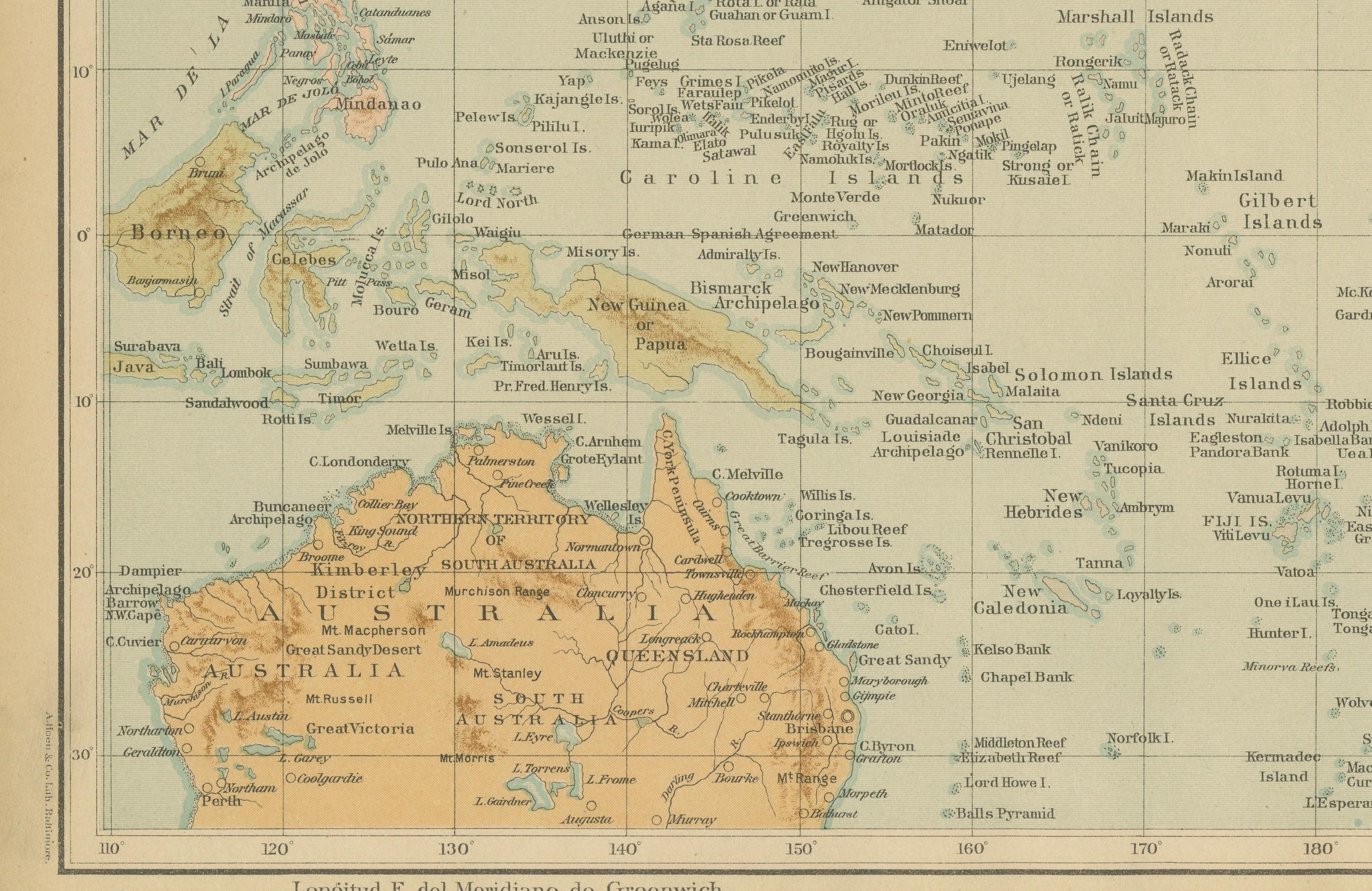
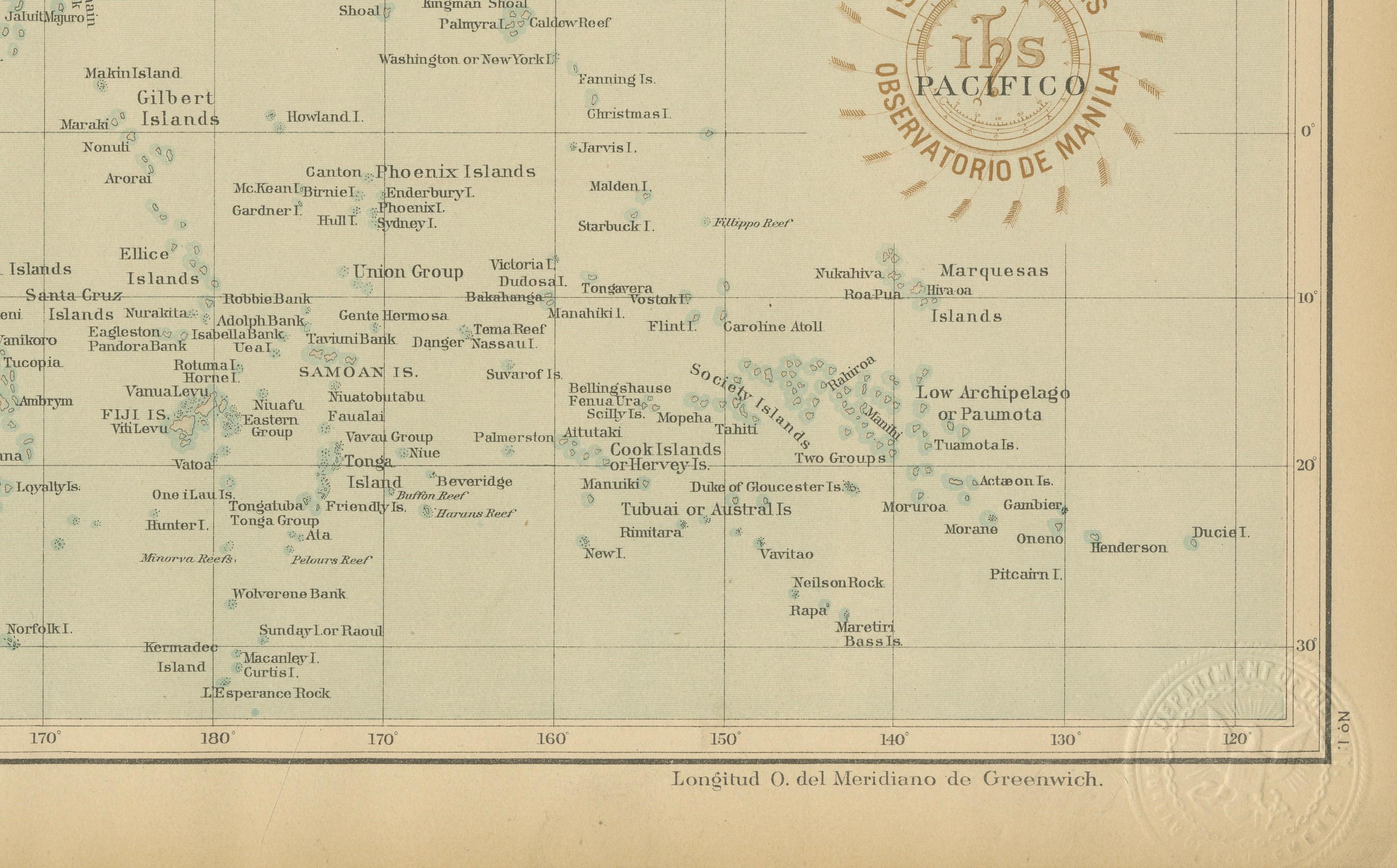
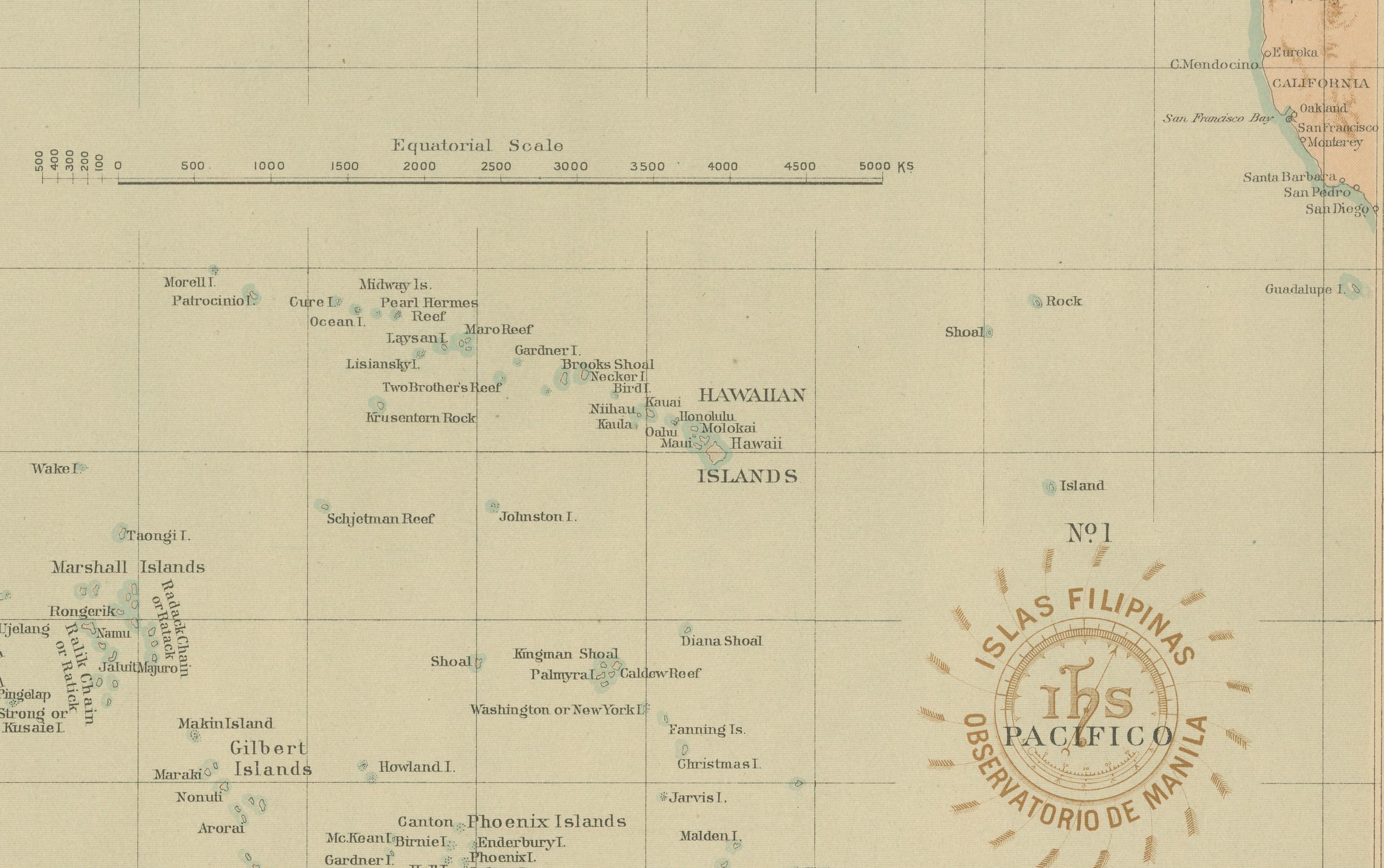
This finely detailed chromolithographed map titled “Islas Filipinas – Océano Pacífico” was produced in 1899 under the direction of Rev. José Algué, S.J., Director of the Observatorio de Manila. Issued as Plate No. 1 from the Atlas de Filipinas, this important work formed the basis for the later U.S. Coast and Geodetic Survey’s Atlas of the Philippine Islands (Washington, 1900).
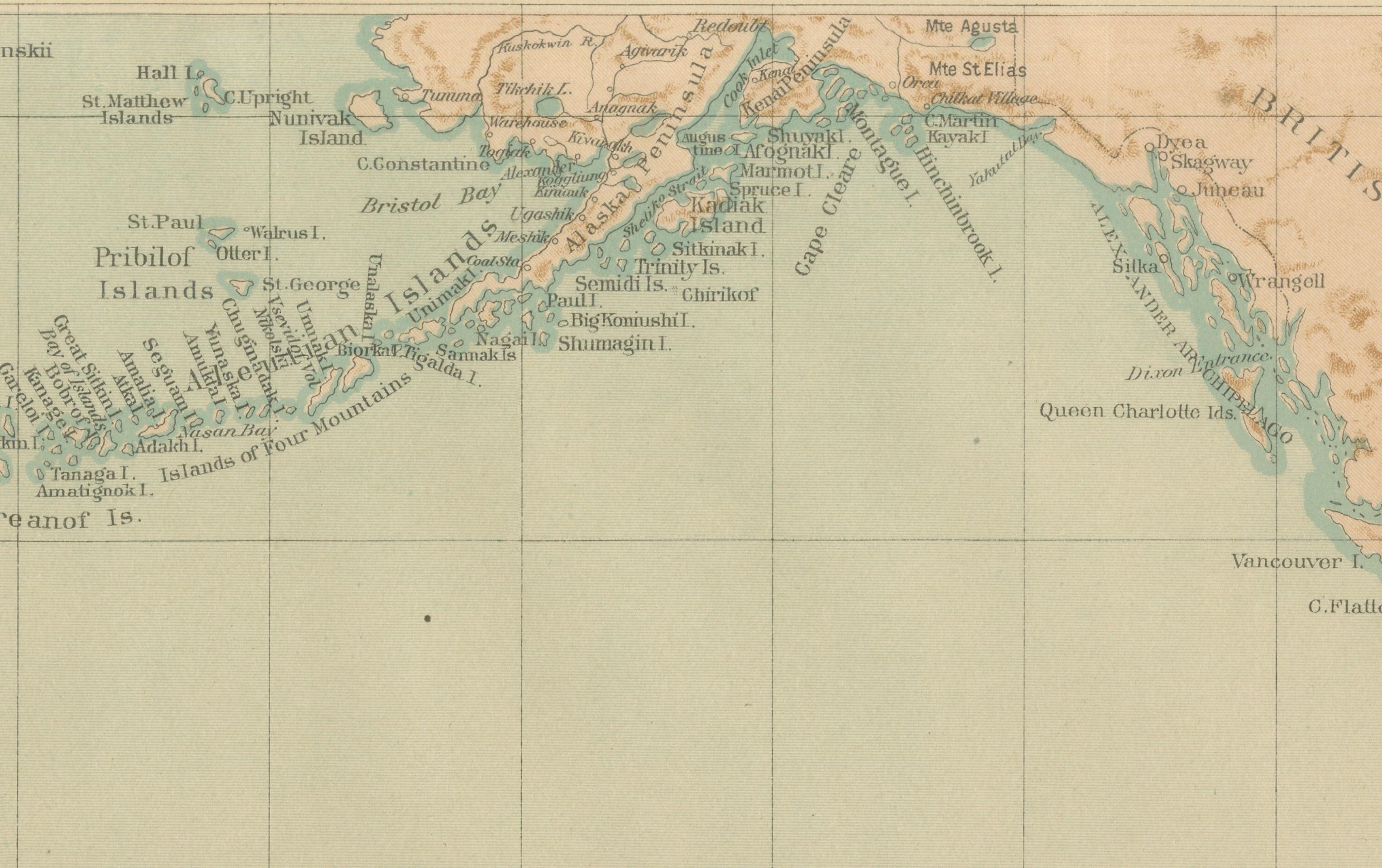
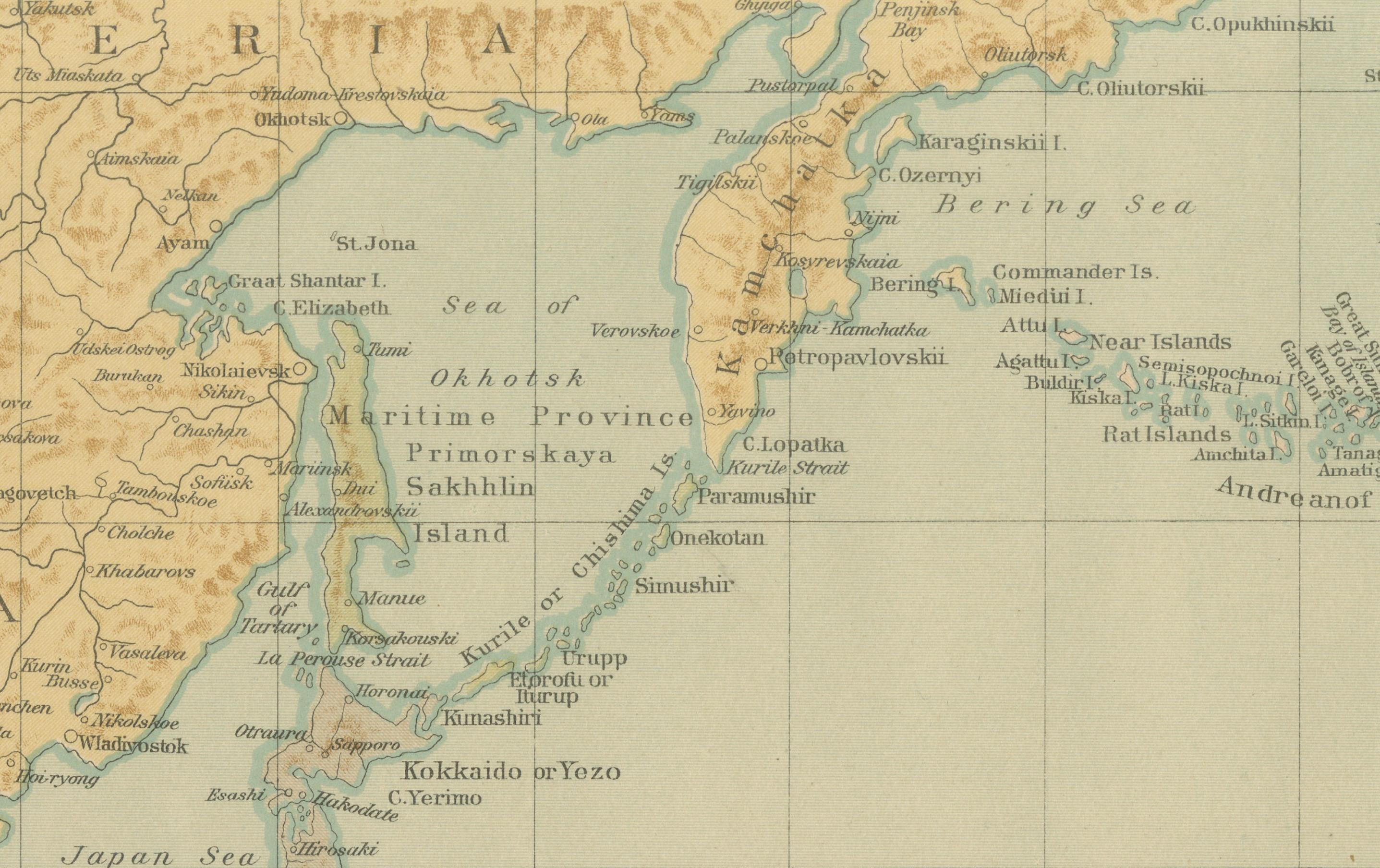
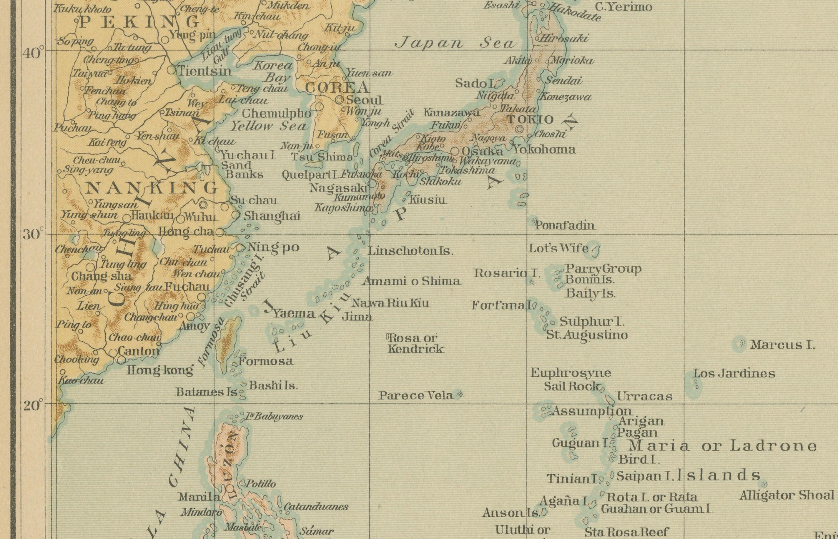
The map shows the Pacific Ocean in exceptional geographic scope, extending from the eastern coast of Asia—including Manchuria, Japan, Korea, and the Philippines—across the Pacific islands to Hawaii and the western coast of North America, including Alaska, California, and Mexico. The map also includes Australia, New Zealand, and the Indonesian archipelago, situating the Philippines at the center of the Pacific world.
Printed in subtle color tones with fine typographic precision, this map bears the official embossed seal of the U.S. Coast and Geodetic Survey and the stamp of the Observatorio de Manila, confirming its authenticity and publication during the crucial transition from Spanish to American administration in the Philippines.
The map provides valuable historical insight into the late 19th-century understanding of Pacific geography, maritime routes, and territorial divisions before the advent of modern cartographic projection. It also represents the remarkable collaboration between Filipino draftsmen and Jesuit scientists whose pioneering work contributed significantly to the modernization of Philippine cartography.
Condition: Excellent, with original color, minimal toning, and clean margins. Embossed survey seal visible in the lower right corner.
Framing tips: Best presented in a dark wooden or gilt frame with a light ivory mat to emphasize the soft pastel hues and maritime detail.
Technique: Chromolithograph on paper Maker: Rev. José Algué, S.J., Observatorio de Manila, 1899