About this sheet
Map of the New Philippines – “Carte des Nouvelles Philippines”, 1706
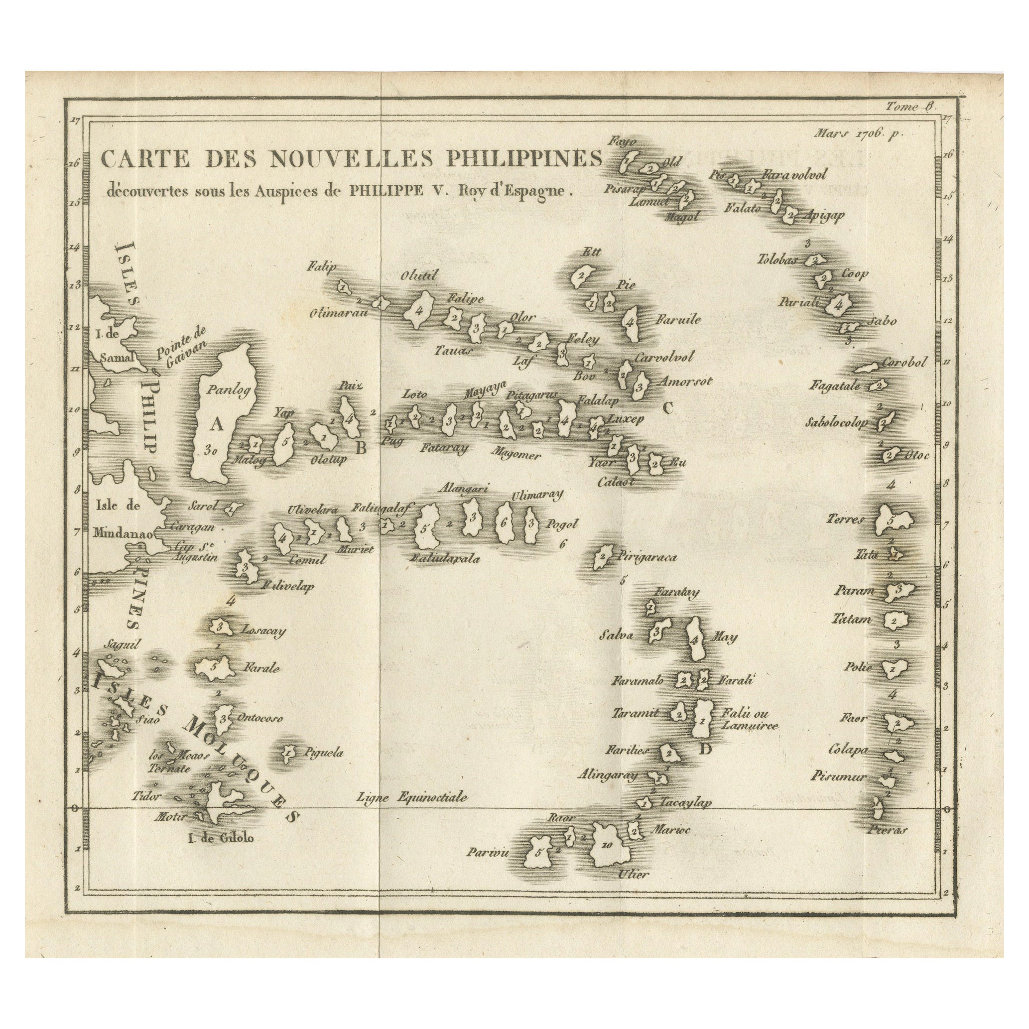
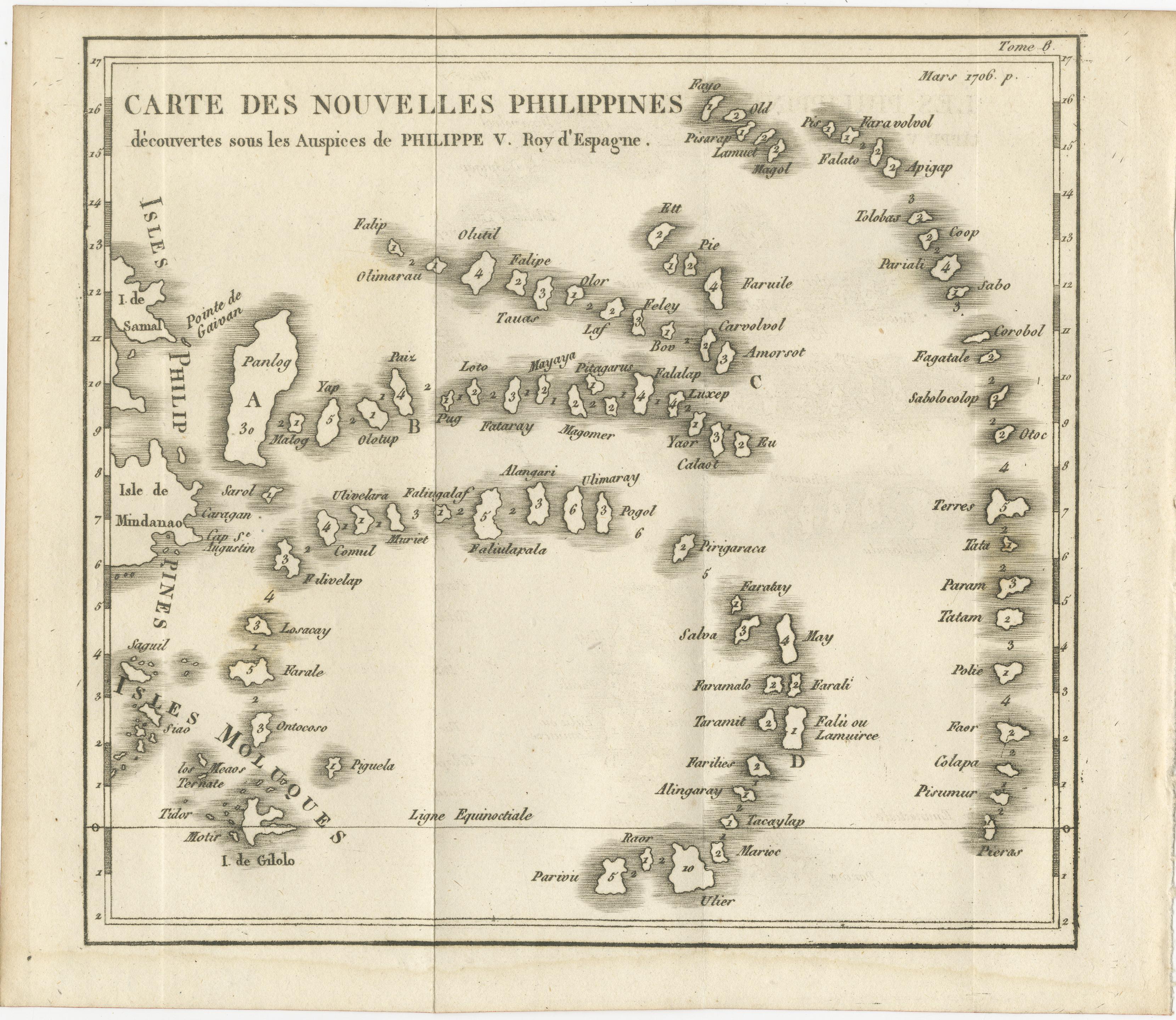
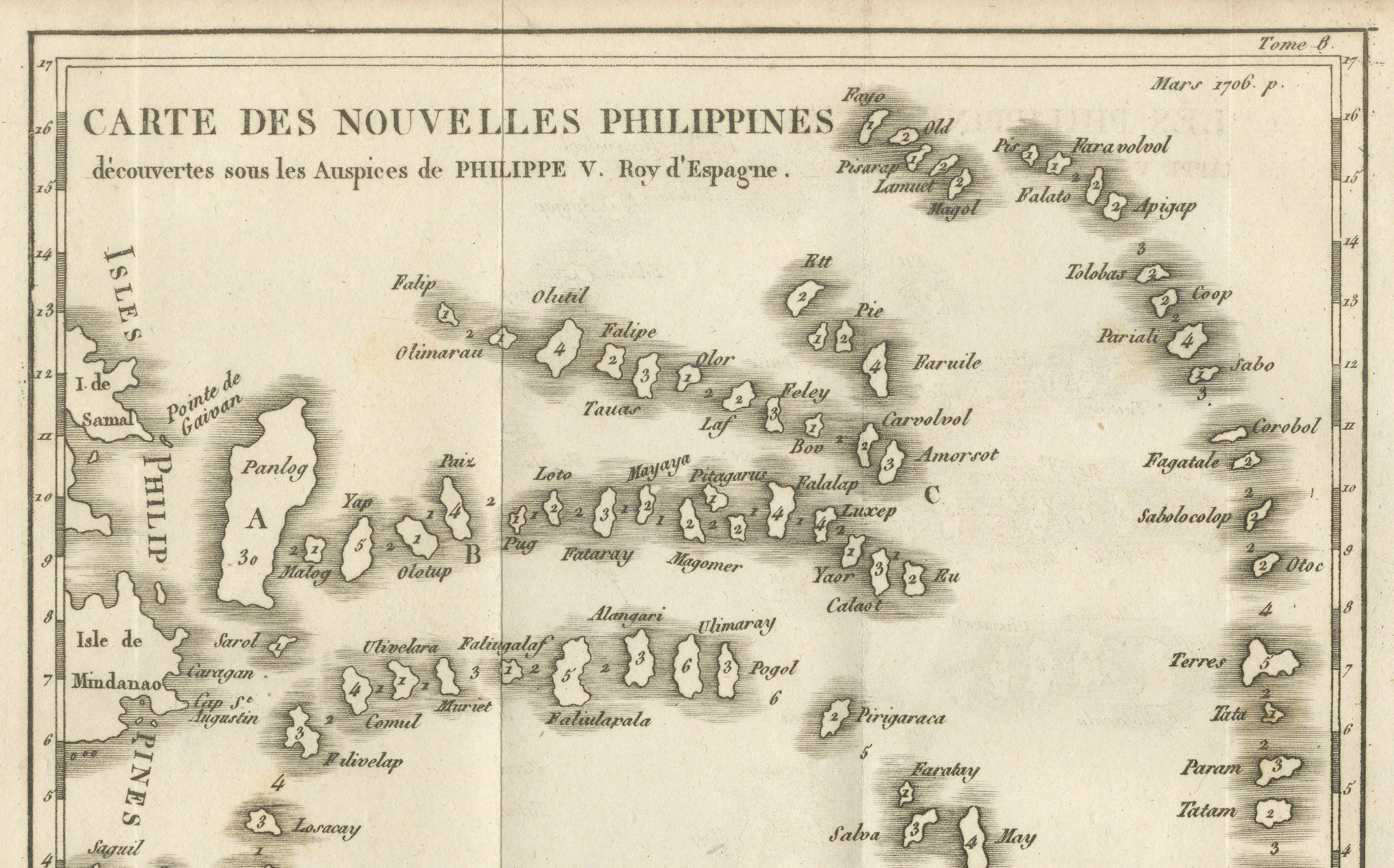
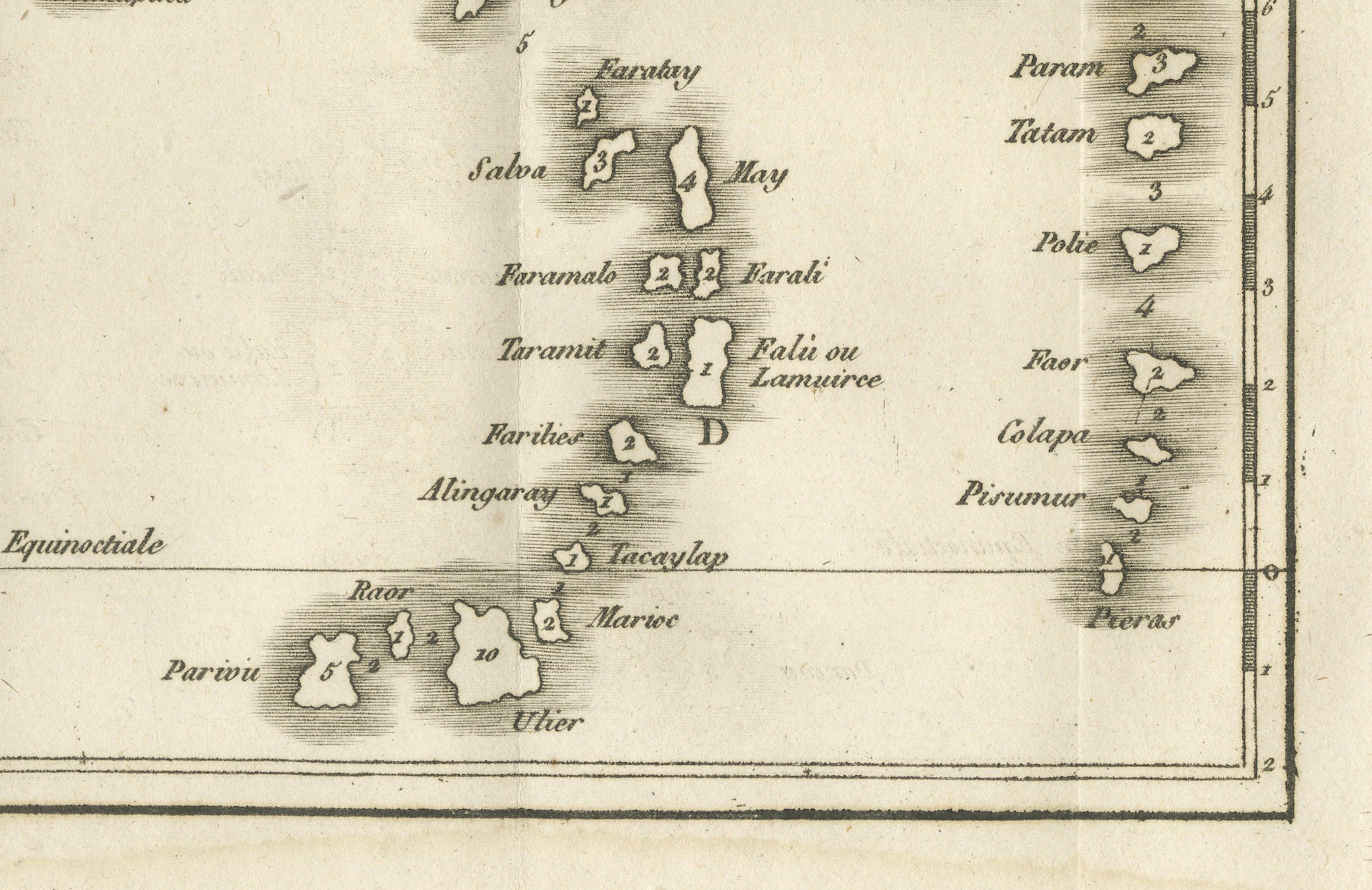
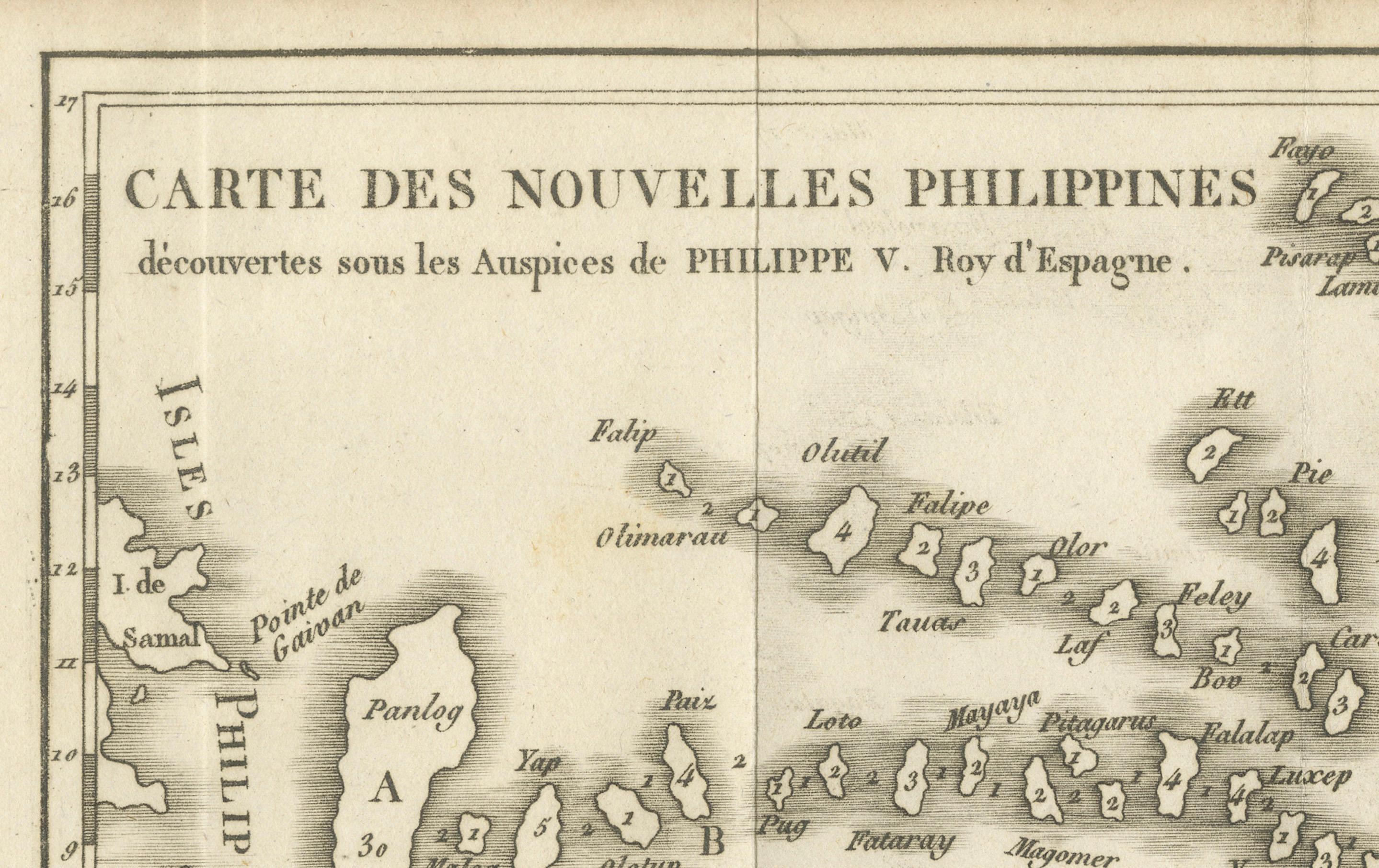
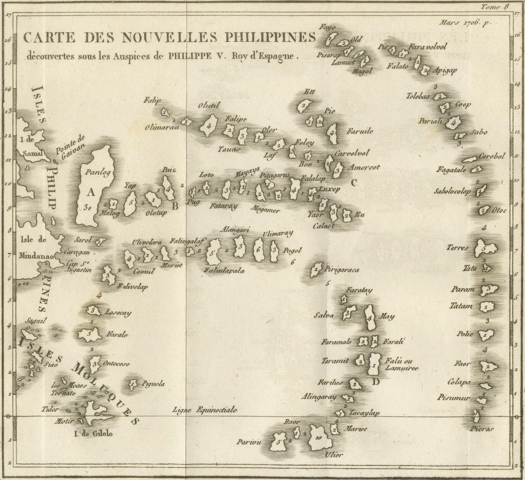
This 18th-century copperplate map, titled Carte des Nouvelles Philippines, depicts the island chain referred to as the “New Philippines,” discovered under the auspices of King Philip V of Spain (Philippe V, Roy d’Espagne). Dated 1706 in the upper right, the map shows the region in the western Pacific that includes parts of today’s southern Philippines, the easternmost islands of Indonesia (Moluccas), and scattered islands of Micronesia.
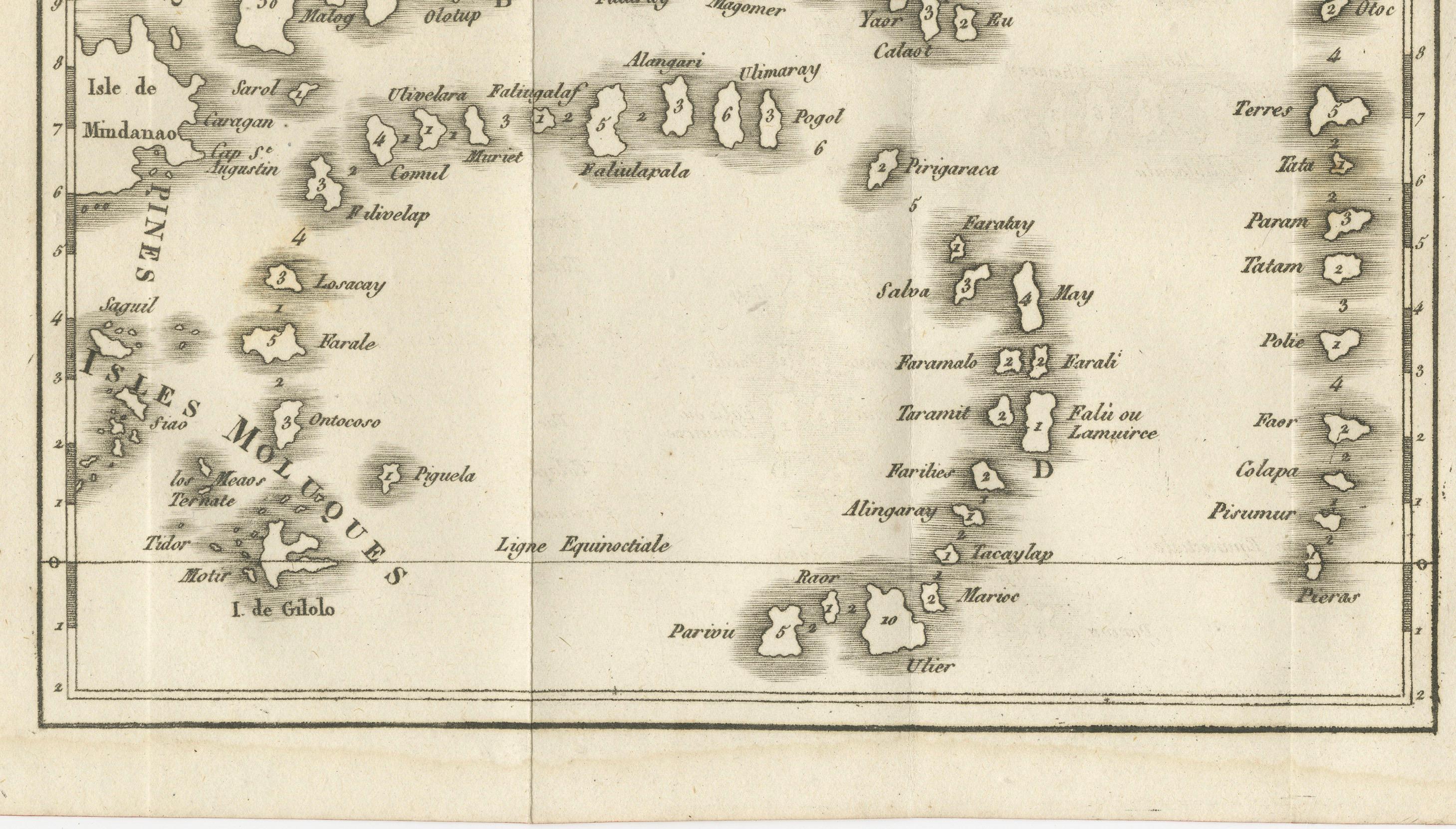
The western side of the map features portions of Mindanao (Isle de Mindanao), Samal, and surrounding islands, as well as the Moluccas (Isles Moluques) and the island of Gilolo (Halmahera). Extending eastward, the chart plots numerous small islands, each named in French transliteration from local or Spanish forms, such as Panloy, Leto, Taldap, Sabos, Amaroot, and Parom. The Equator (Ligne Equinoctiale) is marked across the southern section, with islands like Parwin, Ulter, and various groups to the north and east.
The map is oriented with north at the top and is drawn in a style typical of early 18th-century European maritime exploration charts, with an emphasis on island positions rather than inland features. Its geographic coverage reflects Spanish and Jesuit missionary interest in this remote and relatively little-known part of the Pacific, linking it to the Manila galleon trade routes and Spain’s colonial ambitions in Asia and Oceania.
Marked “Tome 8, N° 1” in the upper right, this plate was part of a multi-volume travel and exploration series, engraved to bring new geographic discoveries to a European readership.
Condition: Very good for age, with a central fold as issued. Minor toning and light foxing in margins. Strong plate impression with clear lettering and fine island detail.
Framing tips: A black or dark walnut frame with an ivory mount will draw attention to the crisp island outlines and historical character. This map pairs well with other 18th-century Pacific and Southeast Asian charts.
Technique: Copperplate engraving
Maker: French school, c.1706–1760