About this sheet
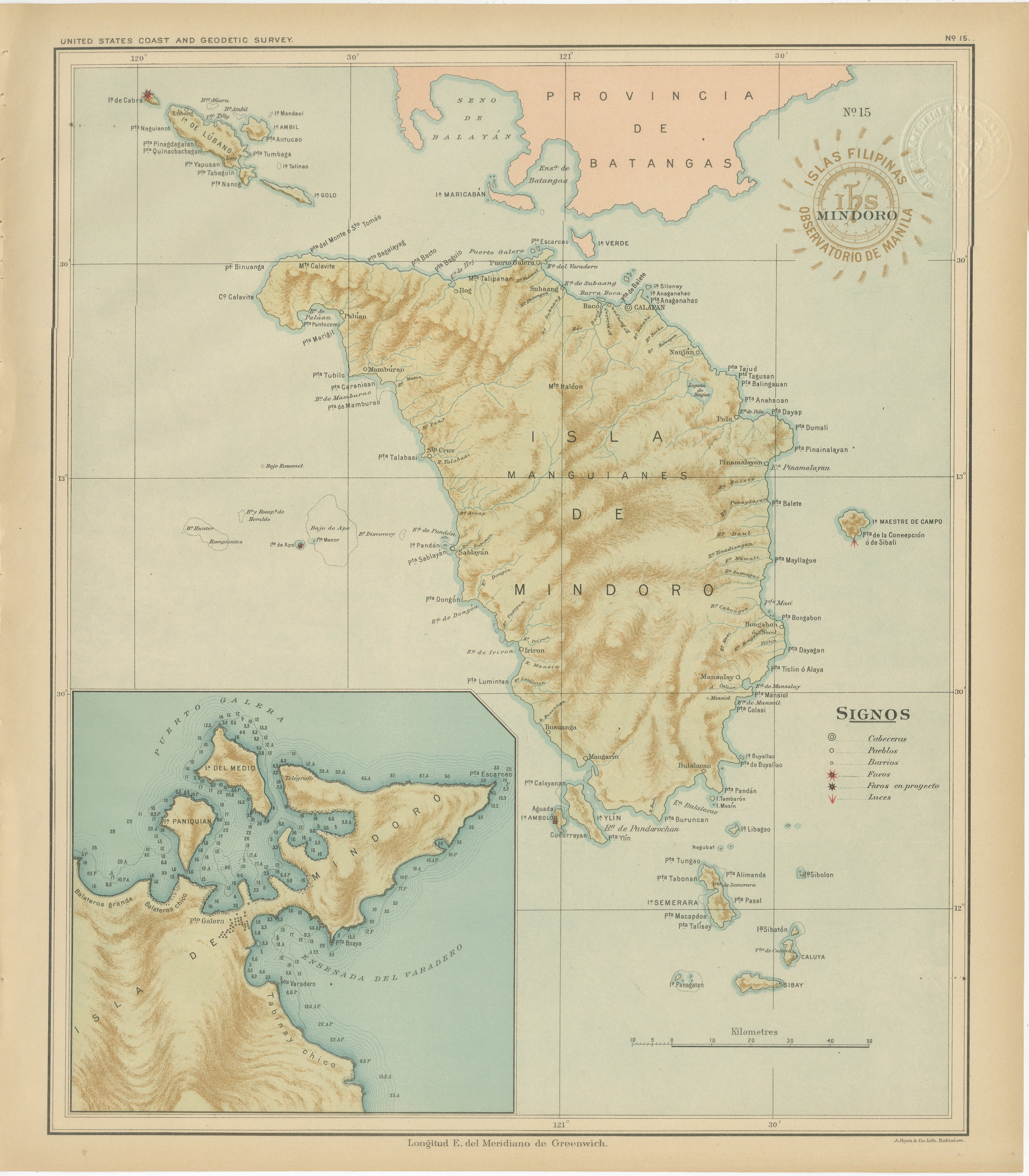
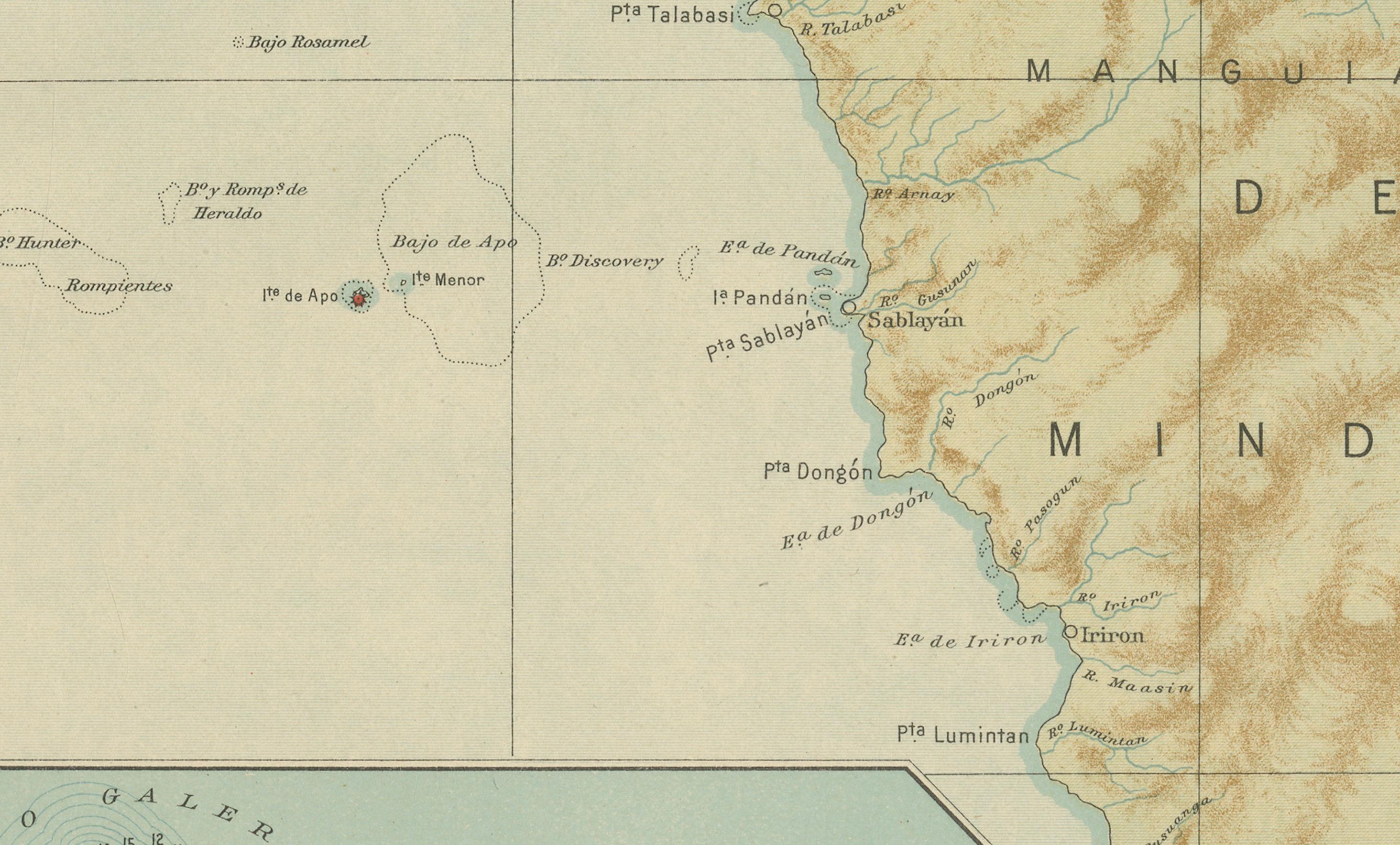
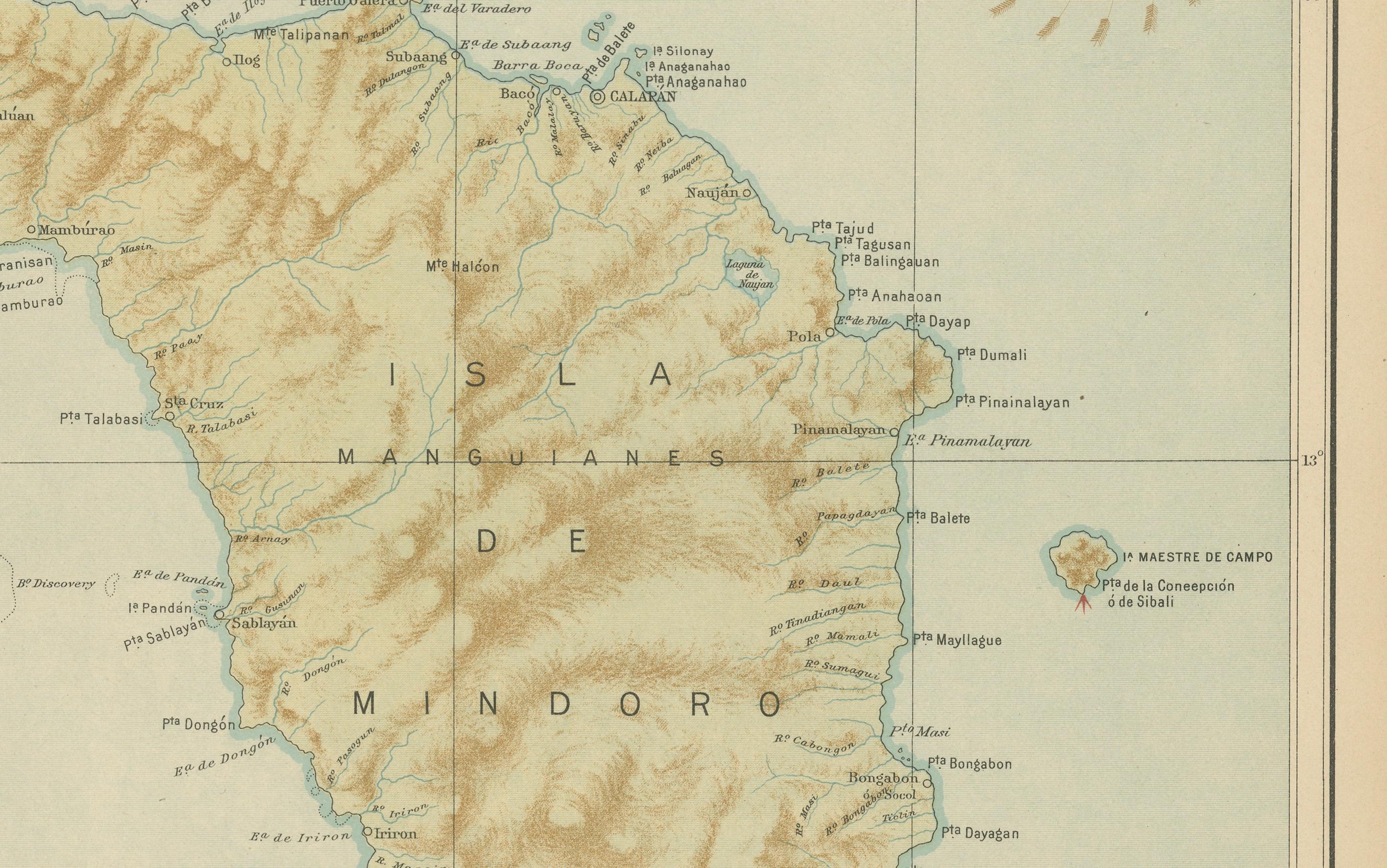
This finely executed chromolithographed map titled “Islas Filipinas – Isla de Mindoro” was published in 1899 under the direction of Rev. José Algué, S.J., Director of the Observatorio de Manila, and forms Plate No. 15 from the *Atlas de Filipinas*. It presents a detailed and beautifully shaded topographical view of the island of Mindoro, one of the largest islands of the Philippine archipelago, located southwest of Luzon and separated from it by the Verde Island Passage.
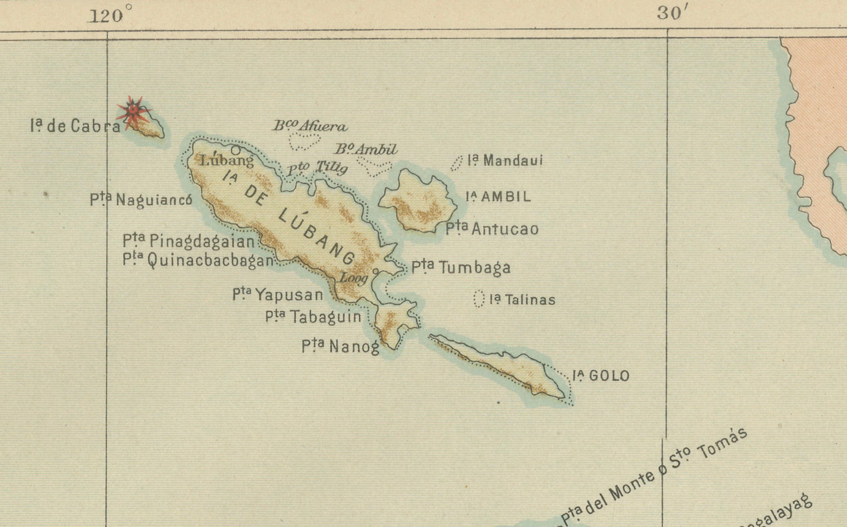
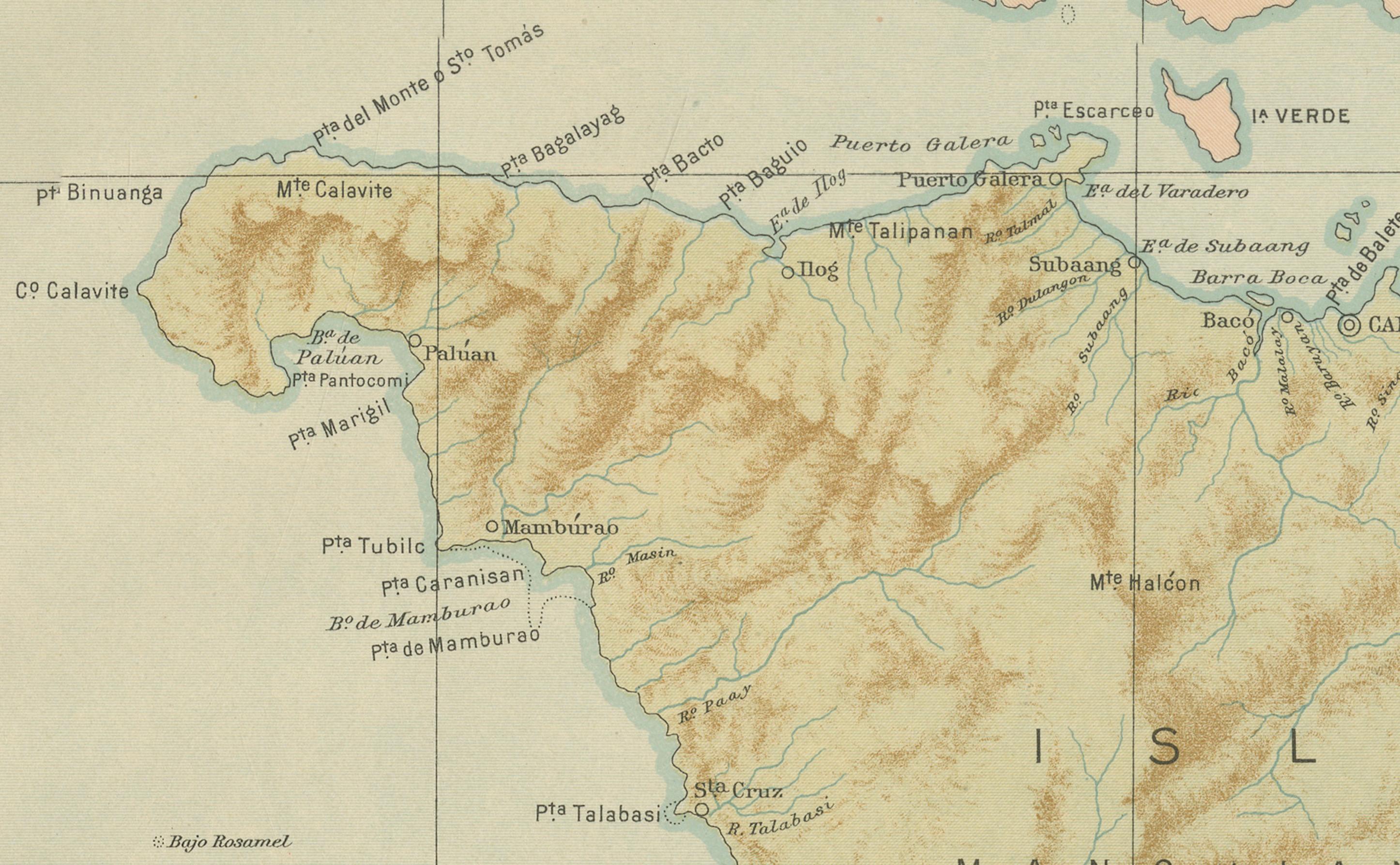
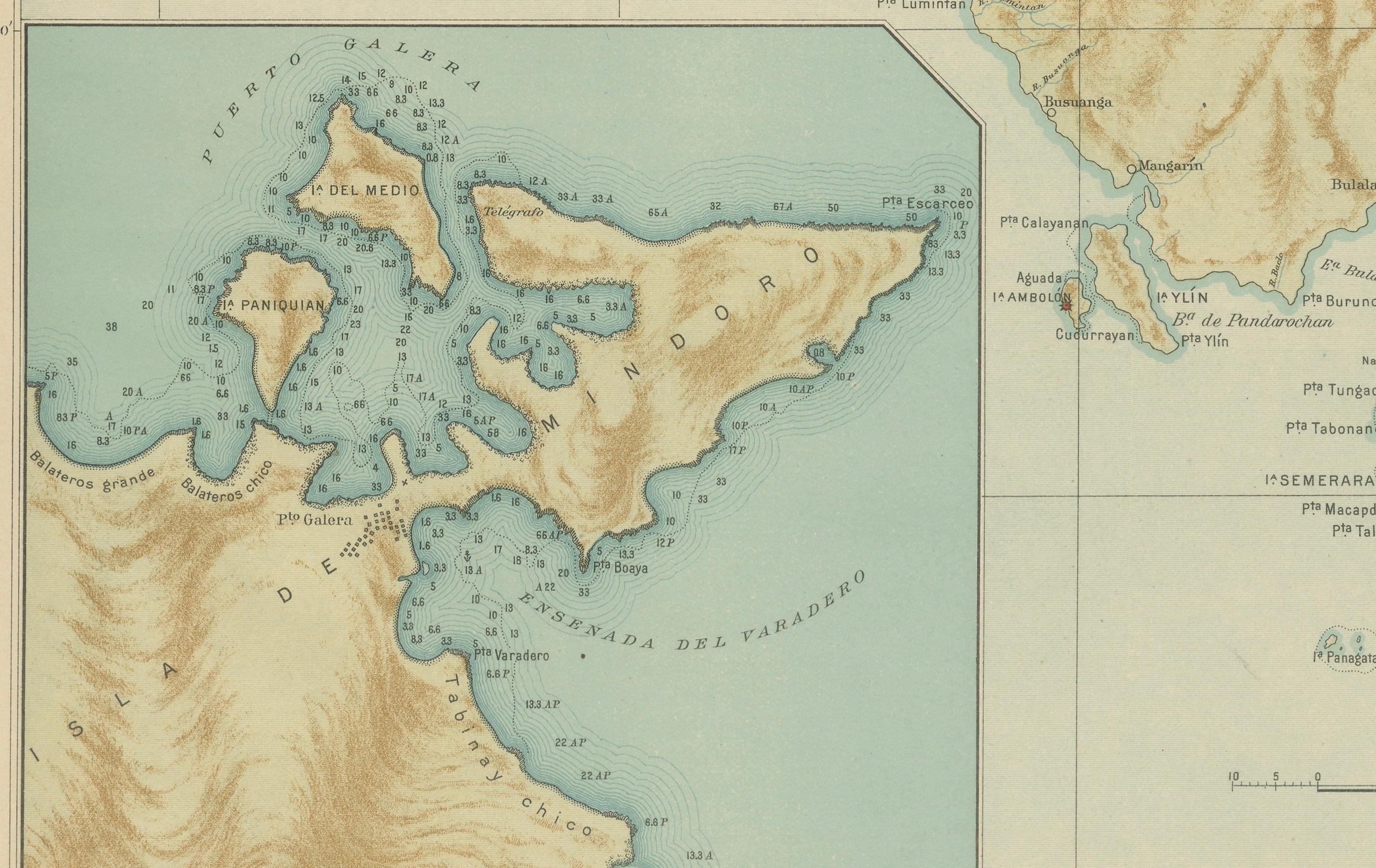
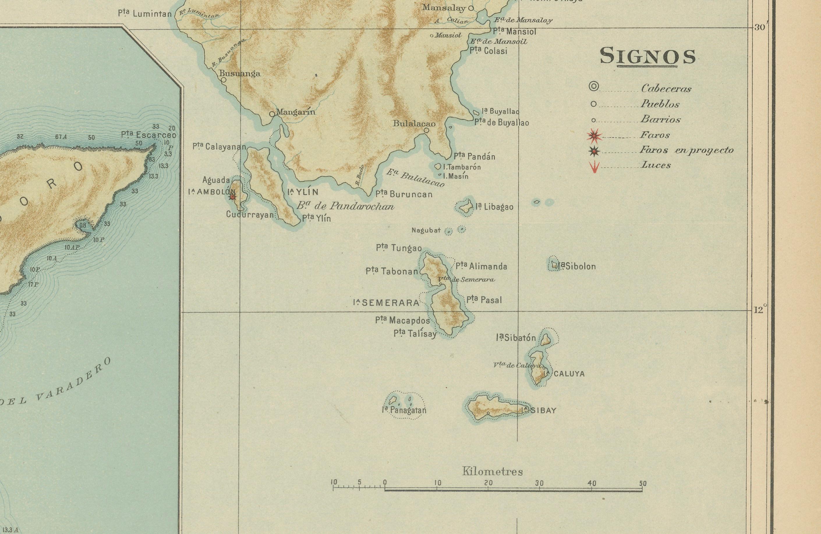
The map highlights the island’s mountainous terrain and complex hydrography, showing major rivers, coastal settlements, and smaller neighboring islets. The towns of Calapan, Naujan, Baco, and Bulalacao are among those clearly identified, while numerous capes (*Pta.*), bays (*Bahía*), and islands (*Isla Verde*, *Isla Lubang*, *Isla Ambil*) appear along the coastlines. A large inset at the lower left details the harbor of Puerto Galera, one of Mindoro’s most important anchorages, with soundings and navigational contours rendered in delicate blue tones.
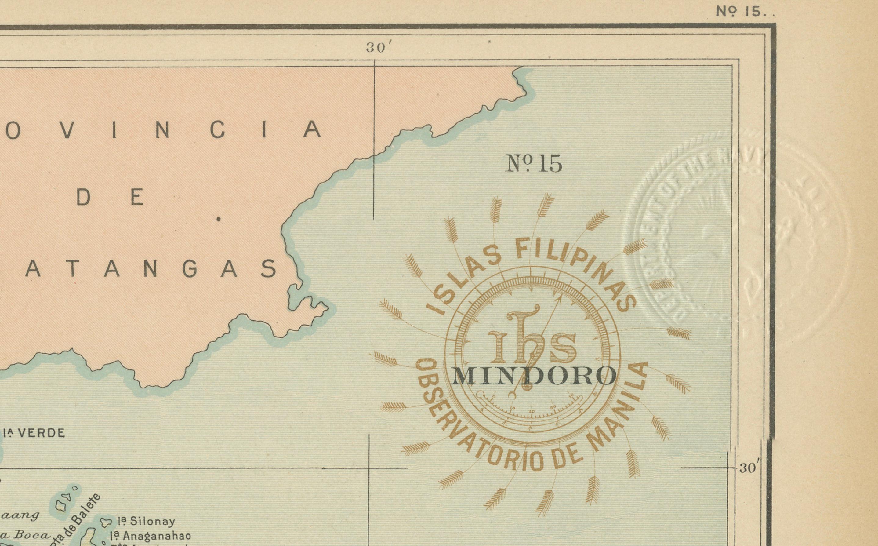
The legend (“Signos”) at right provides symbols for administrative centers, pueblos, barrios, and areas in development. The seal of the “Observatorio de Manila” and the embossed emblem of the “U.S. Coast and Geodetic Survey” authenticate this map as part of the U.S. Government’s 1900 Washington printing of the *Atlas of the Philippine Islands*, adapted from the original Jesuit surveys prepared at the Manila Observatory.
The Jesuit cartographers’ skill is evident in the clarity of relief shading, hydrographic accuracy, and typographic refinement. This map exemplifies the synthesis of Spanish scientific tradition and early American geographic publication, standing as one of the earliest modern cartographic records of Mindoro.
Condition: Excellent, with original coloring and minimal age toning. Paper remains clean and strong, with visible embossed and inked stamps confirming authenticity.
Framing tips: A natural oak or walnut frame with a soft cream mat enhances the map’s gentle sepia terrain and blue coastal hues, ideal for both maritime and historical displays.
Technique: Chromolithograph on paper
Maker: Rev. José Algué, S.J., Observatorio de Manila, 1899