About this sheet
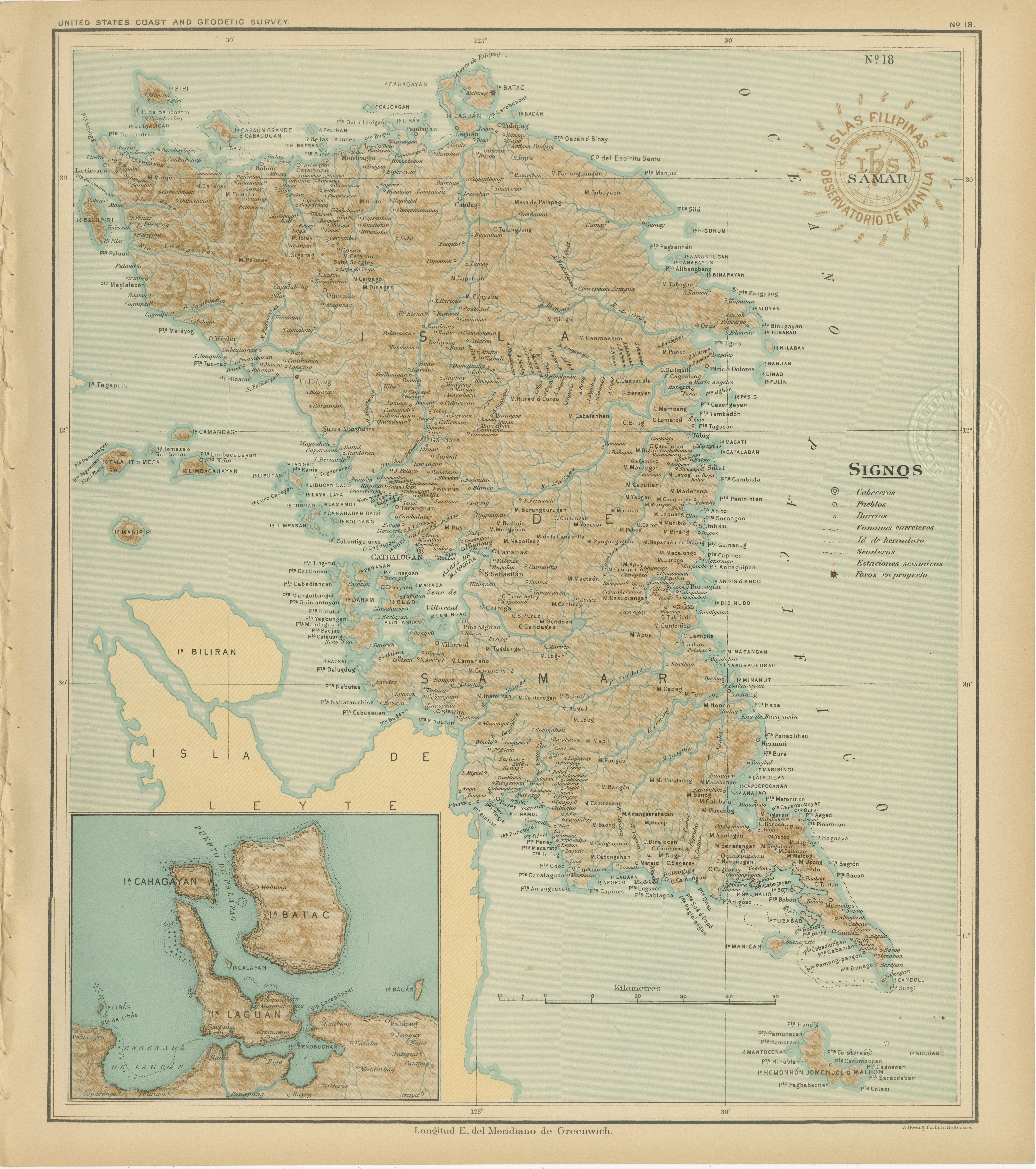
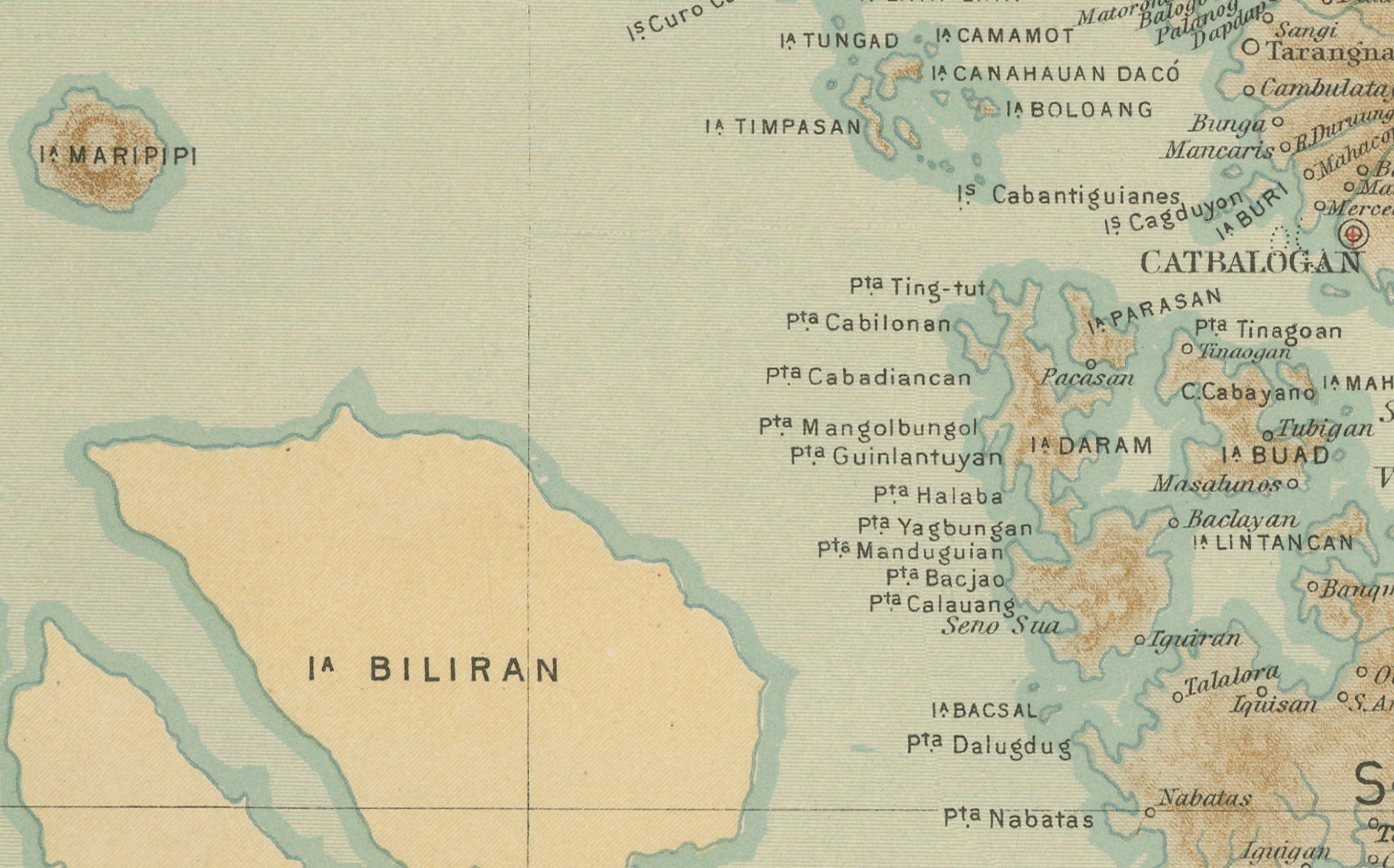
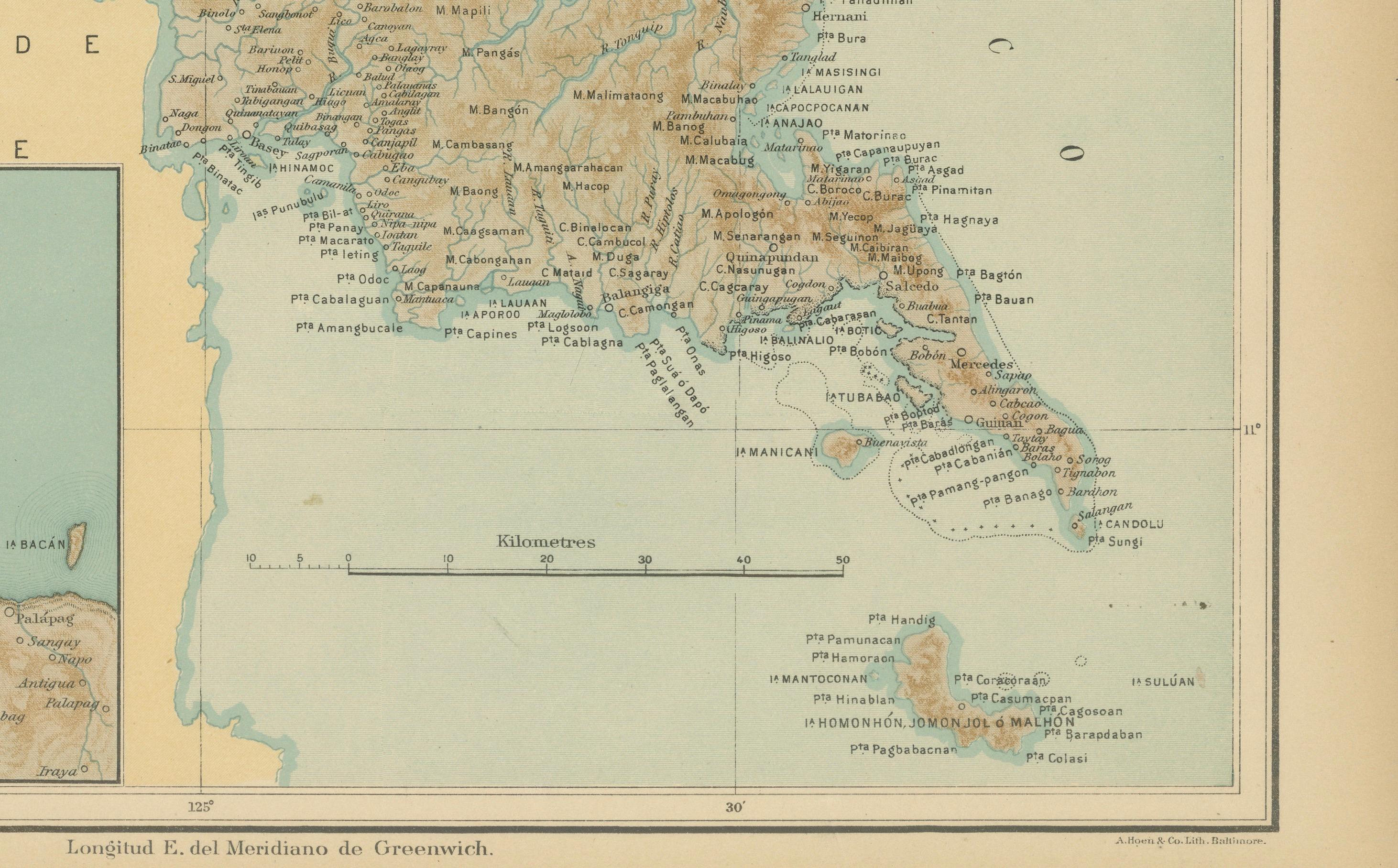
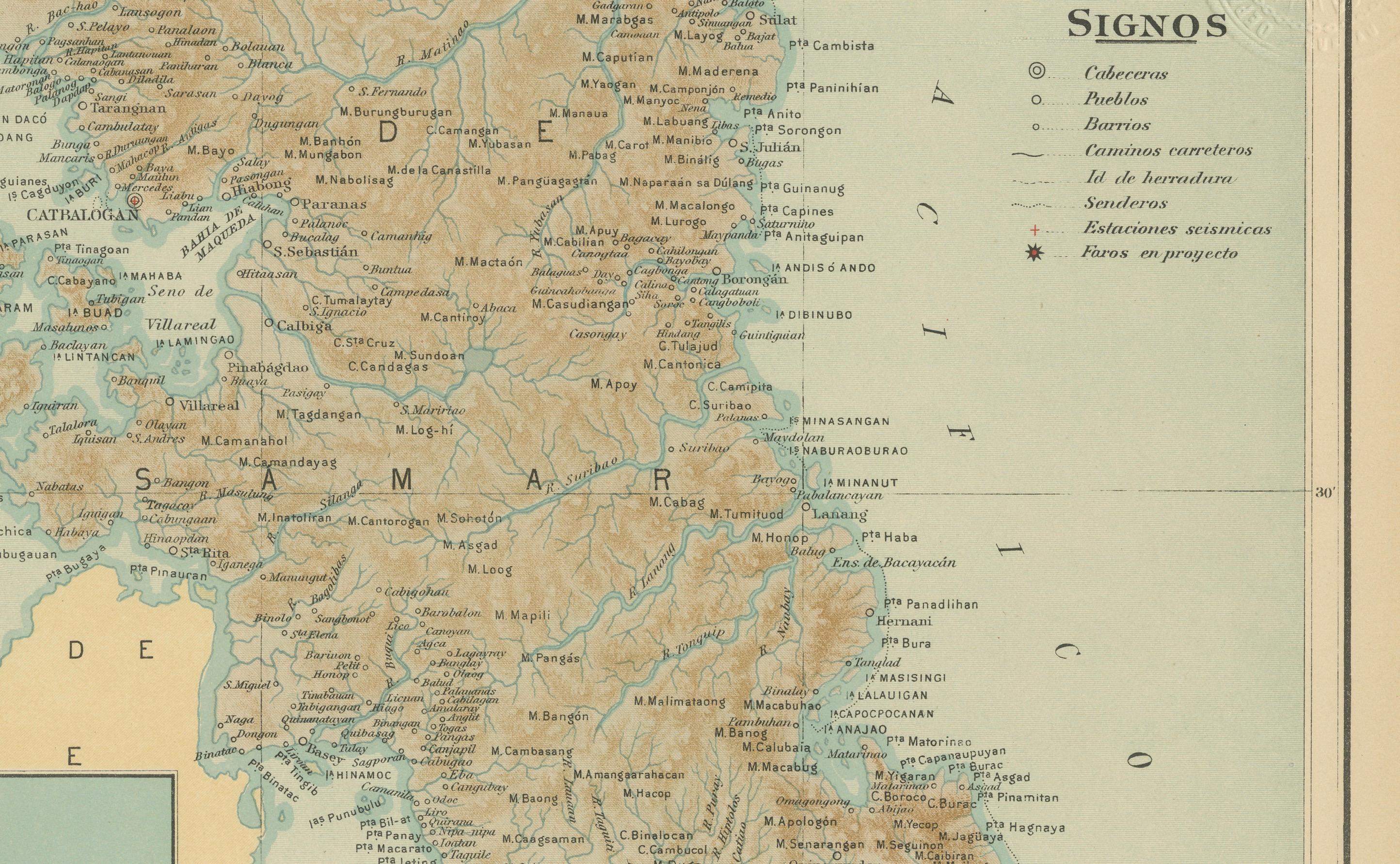
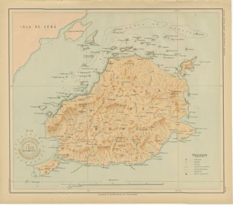
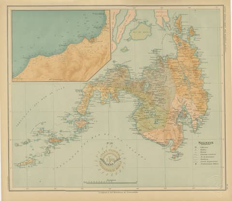
This finely executed chromolithographed map titled “Islas Filipinas – Isla de Samar” was created under the supervision of Rev. José Algué, S.J., Director of the Observatorio de Manila, and published in 1899 as Plate No. 18 from the Atlas de Filipinas. It provides an exceptionally detailed representation of the island of Samar, one of the largest and most geographically complex islands in the Philippines, located in the Eastern Visayas.
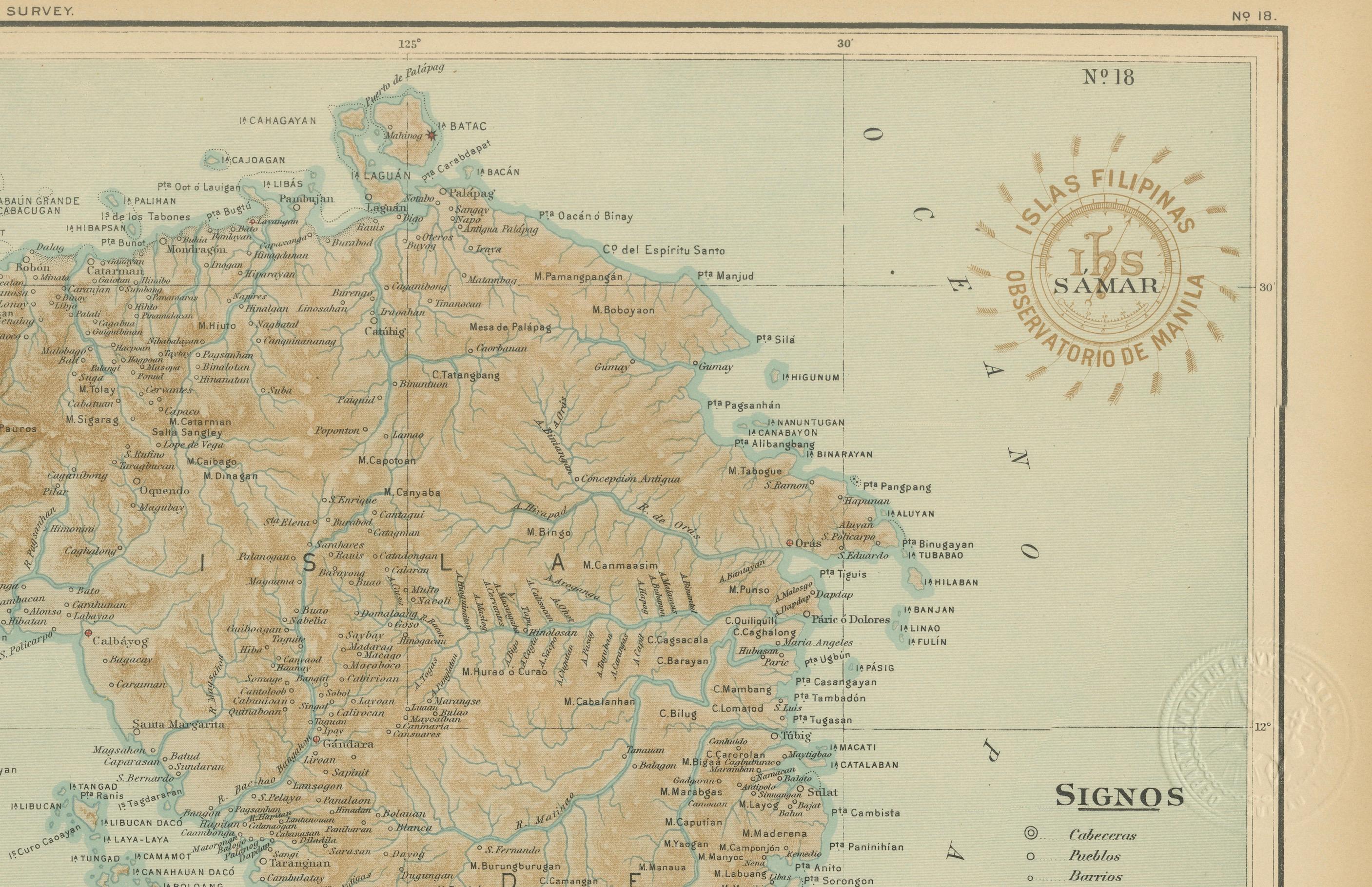
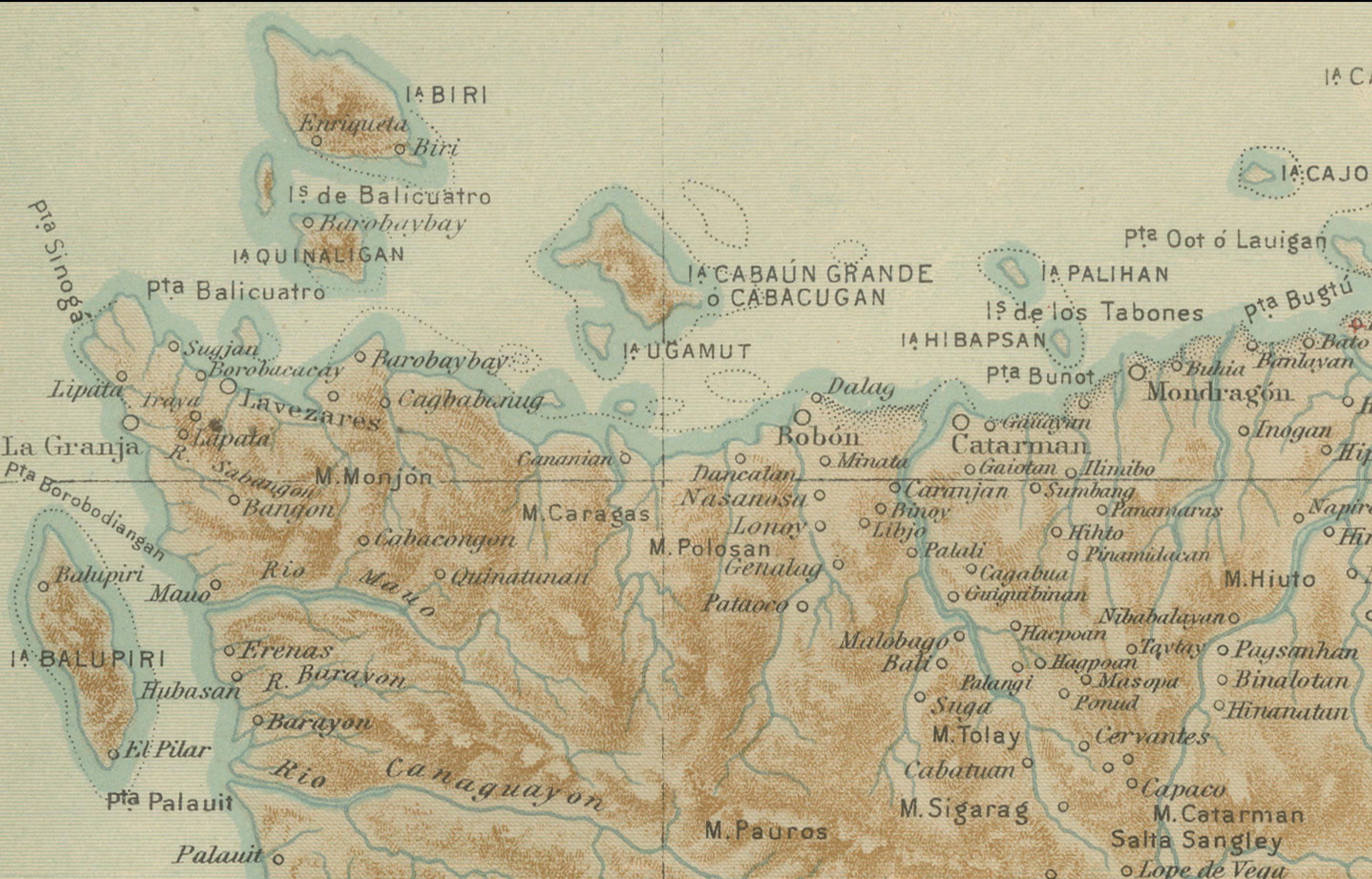
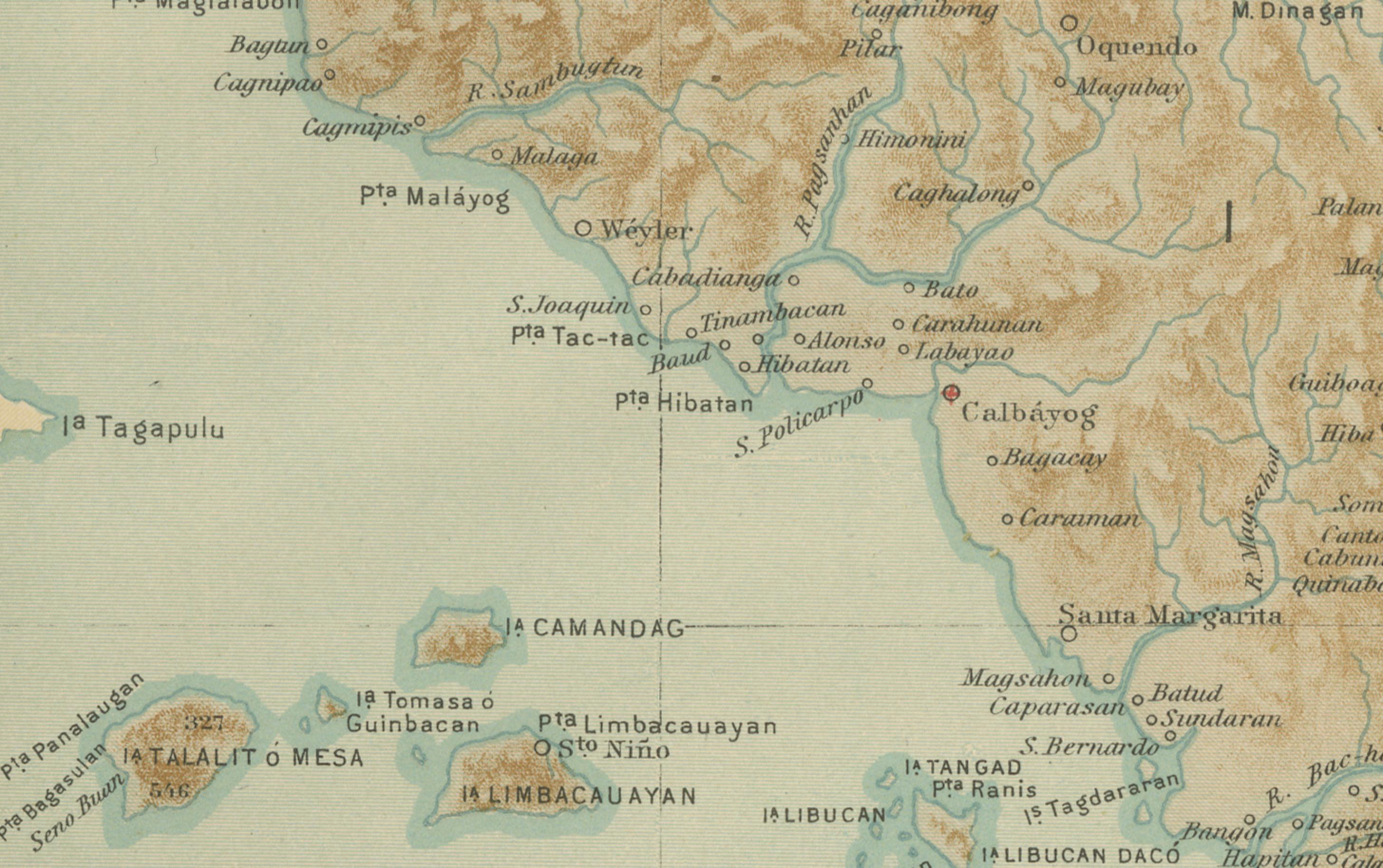
The map captures the dramatic terrain of Samar through delicate shaded reliefs and contouring in warm brown tones, contrasted against soft blue coastal waters. Major towns and settlements, including Catbalogan, Borongan, and Guiuan, are clearly labeled, as well as numerous smaller pueblos, rivers, and mountain ranges. The map also traces provincial boundaries, coastal features, and extensive river systems, highlighting the Jesuit Observatory’s precision in both geography and hydrography.
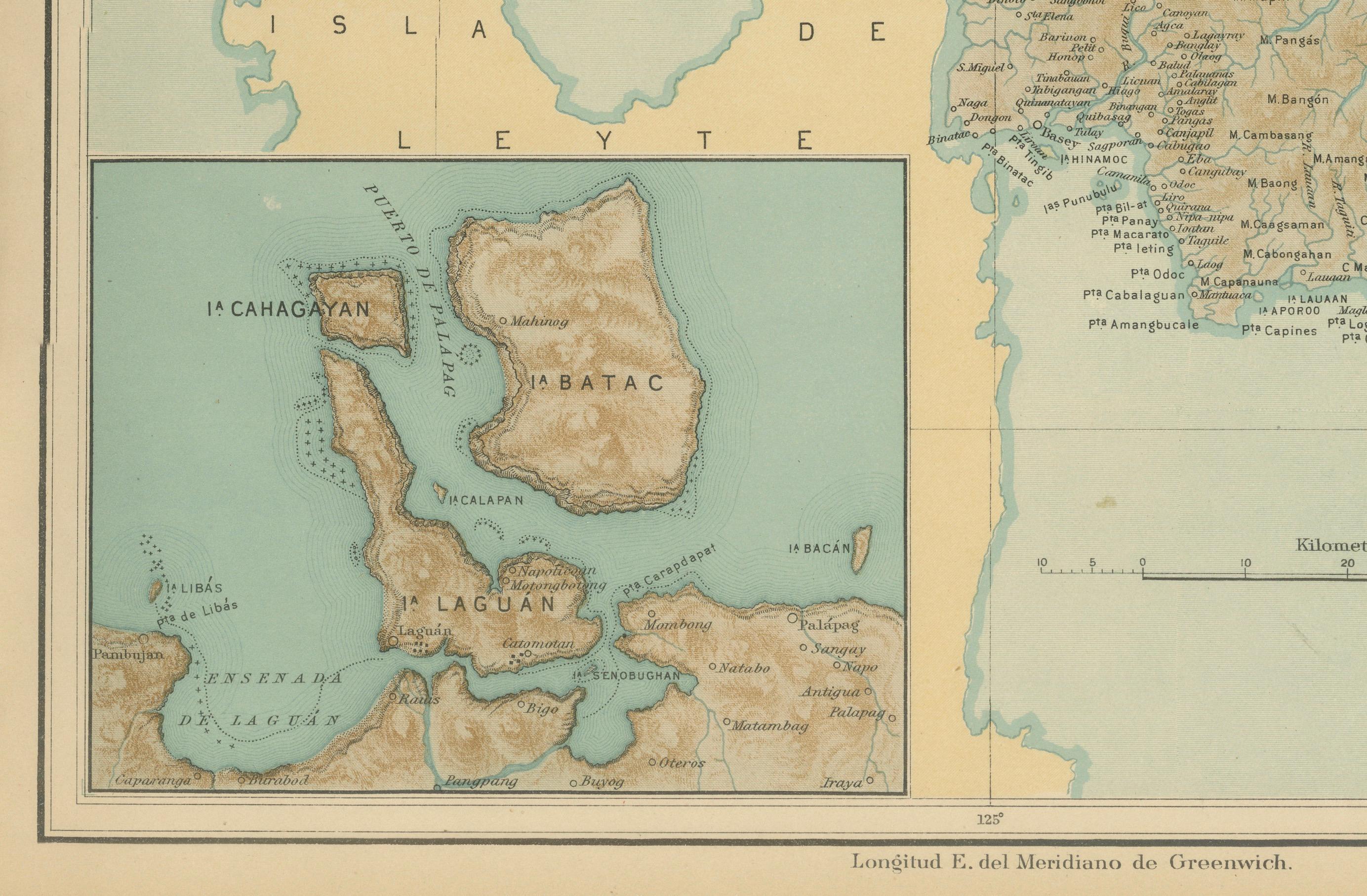
An inset at the lower left corner depicts the islands of Biliran, Cahayagan, Batac, and Laguan, with soundings and coastal detail around the Leyte coast. The legend (“Signos”) identifies administrative symbols for capitals, towns, barrios, and meteorological stations, emphasizing the scientific purpose of the *Atlas*.
Stamped with the circular mark of the “Observatorio de Manila” and embossed with the seal of the “U.S. Coast and Geodetic Survey,” this plate was part of the 1900 Washington edition of the *Atlas of the Philippine Islands*, published by the U.S. Government Printing Office. Originally based on the surveys executed by Filipino draftsmen under Jesuit direction, this series bridges Spanish cartographic tradition with early American scientific publication.
The map stands out for its accuracy, refined lithography, and elegant design, representing one of the earliest modern depictions of Samar prior to the 20th-century American surveys.
Condition: Excellent, with original hand-applied color preserved and minor age toning consistent with age. Embossed and inked stamps remain crisp and clear.
Framing tips: A dark oak or rosewood frame paired with a light cream mat highlights the contrast between the land and sea tones, ideal for library or maritime-themed interiors.
Technique: Chromolithograph on paper
Maker: Rev. José Algué, S.J., Observatorio de Manila, 1899