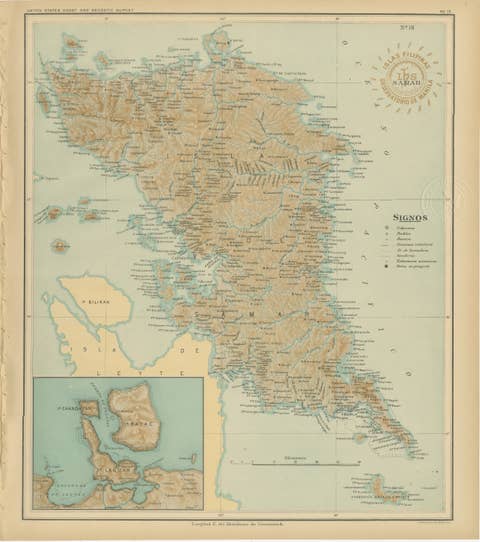
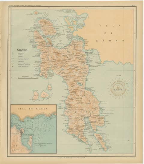
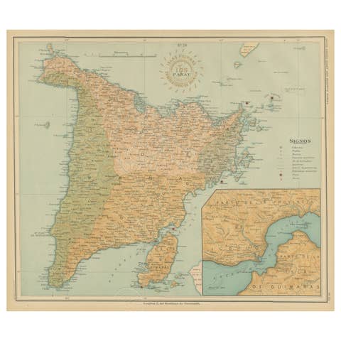
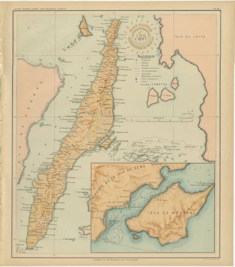
About this sheet
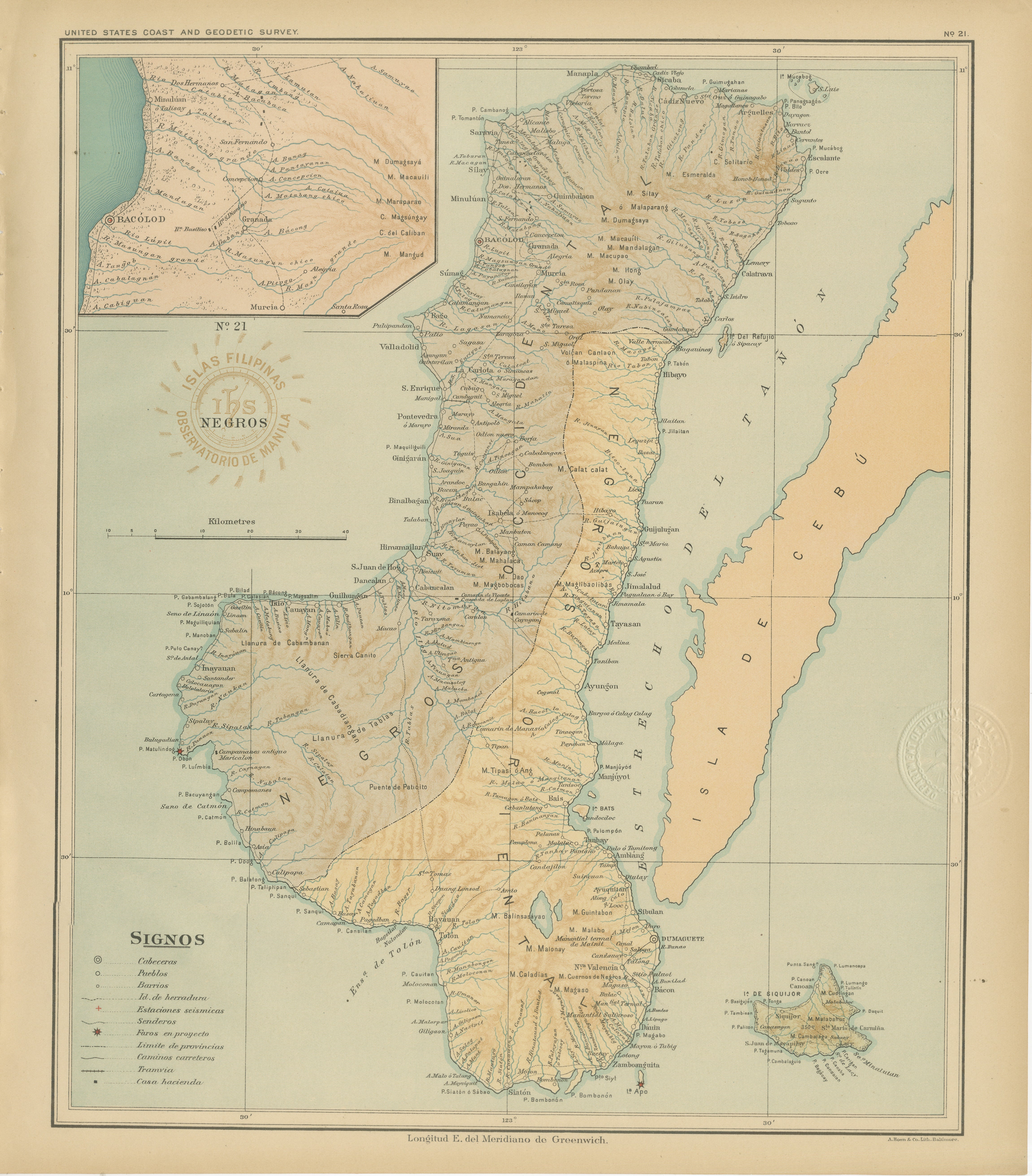
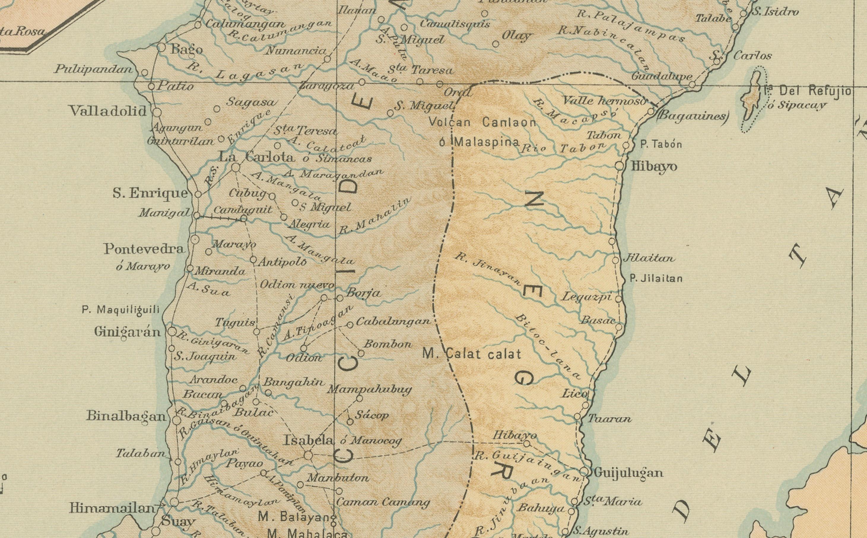
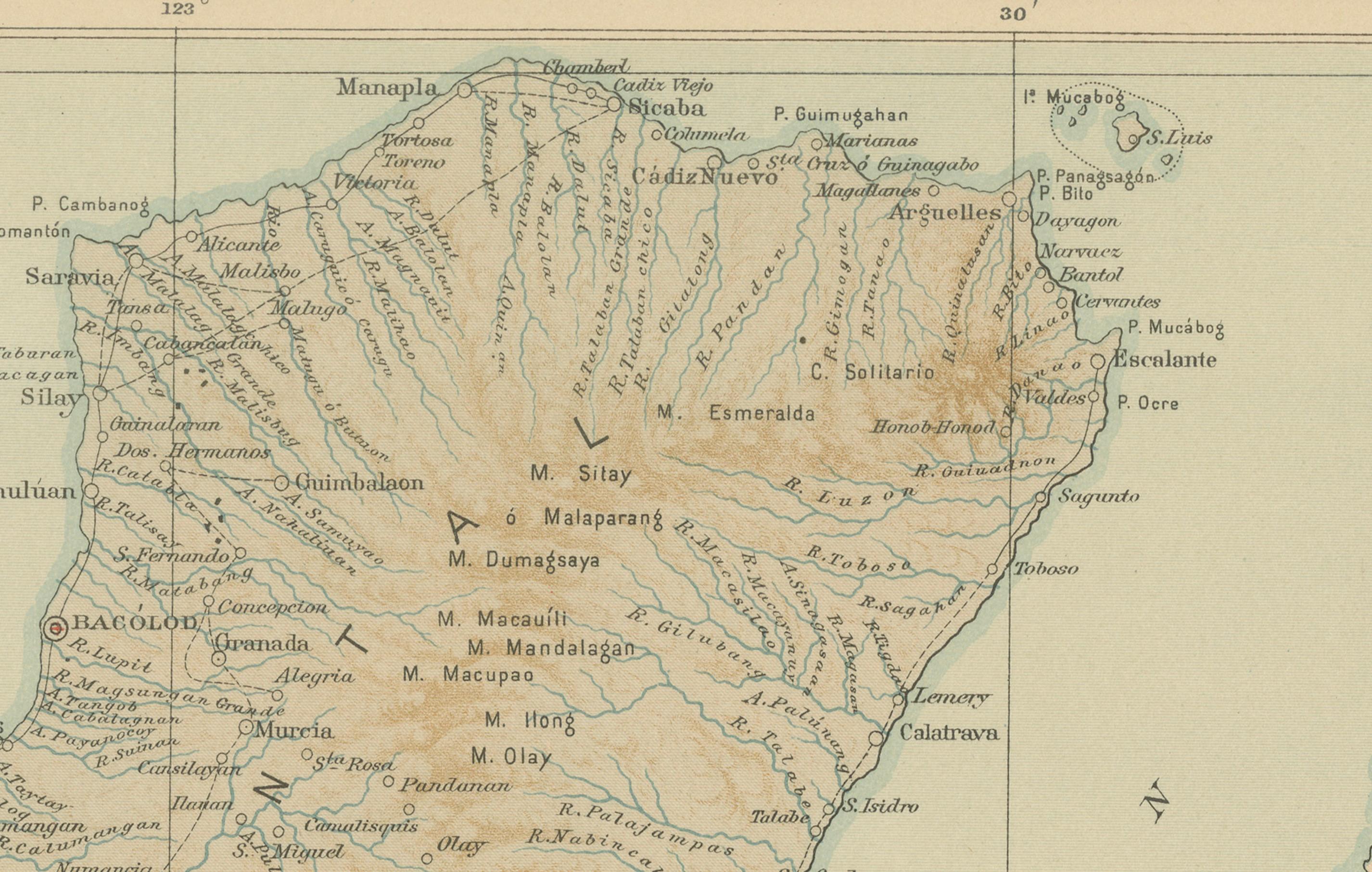
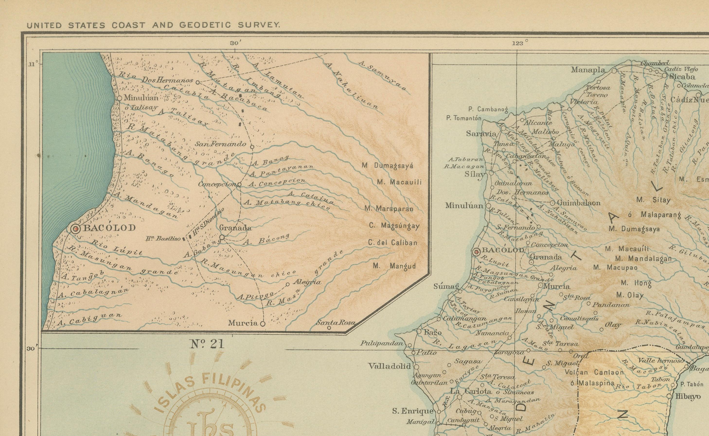
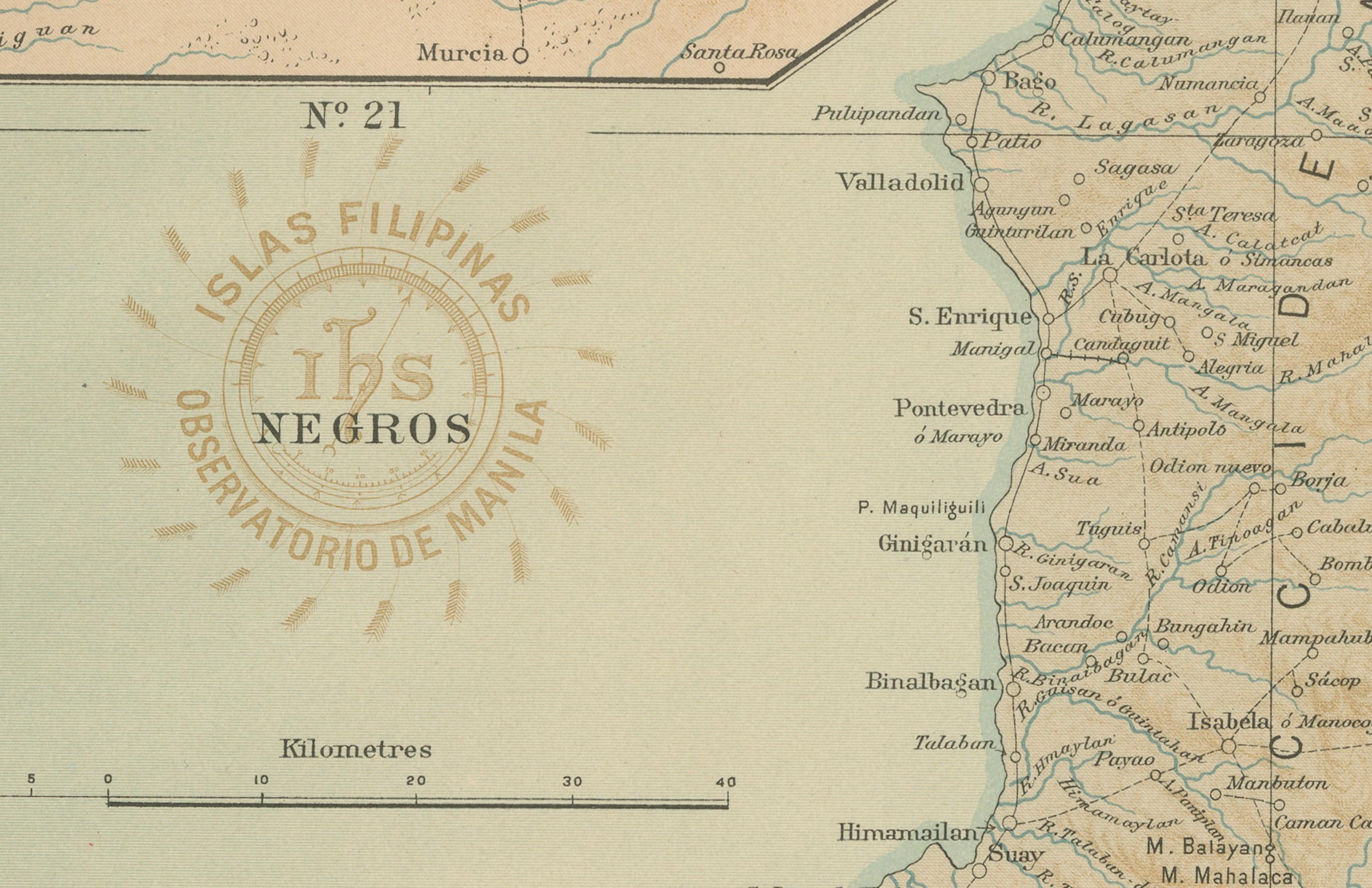
This superb chromolithographed map titled “Islas Filipinas – Isla de Negros” was created under the supervision of Rev. José Algué, S.J., Director of the Observatorio de Manila, and published in 1899 as Plate No. 21 from the Atlas de Filipinas. The map portrays the island of Negros, located in the central Visayas, renowned for its mountainous interior and fertile coastal plains.
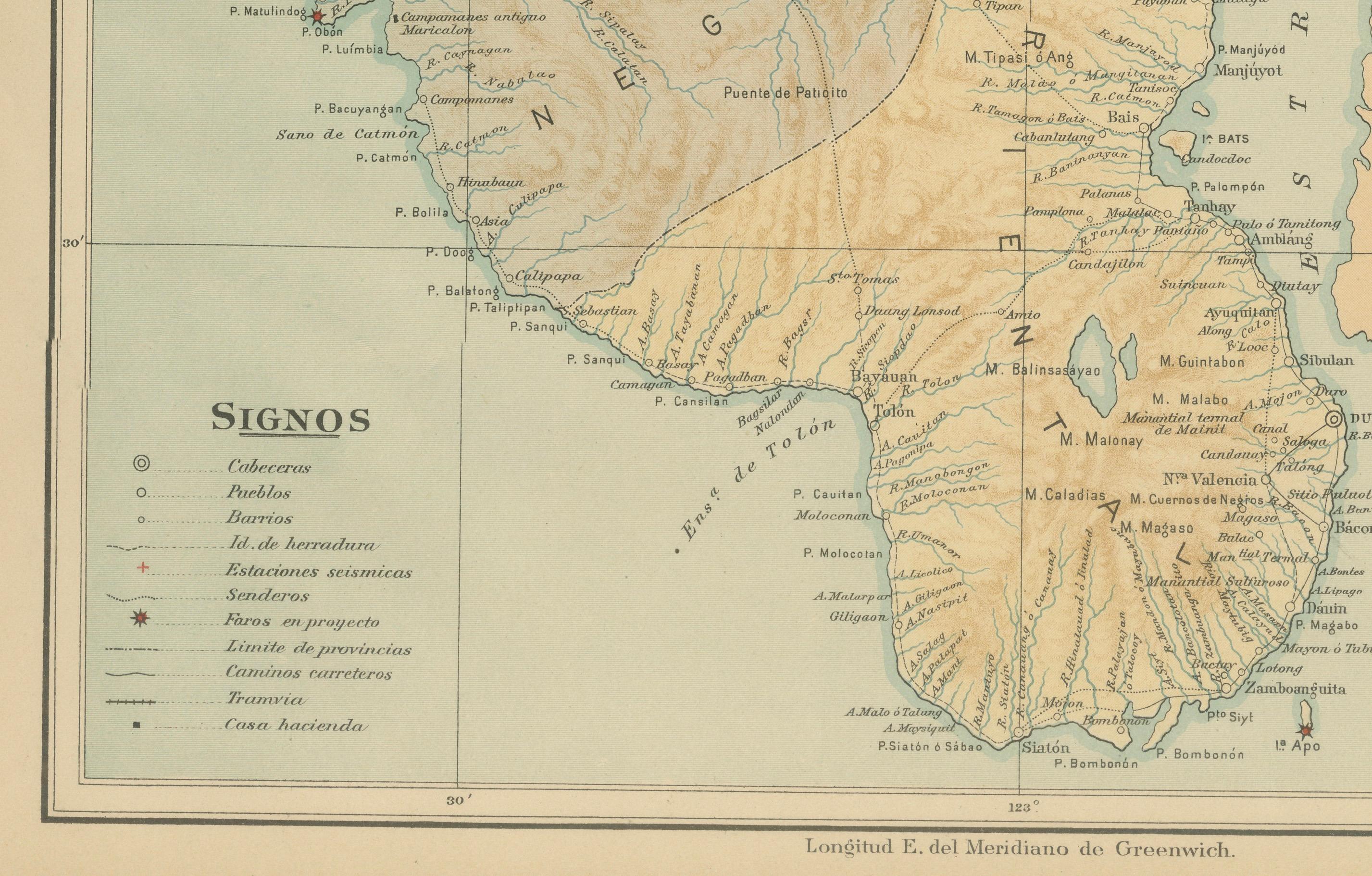
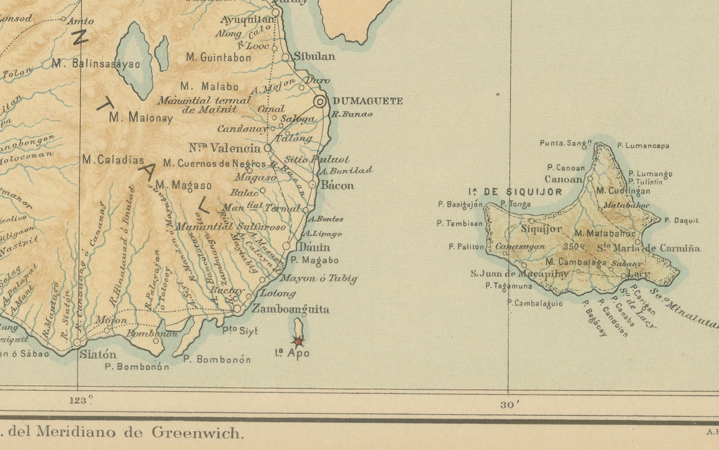
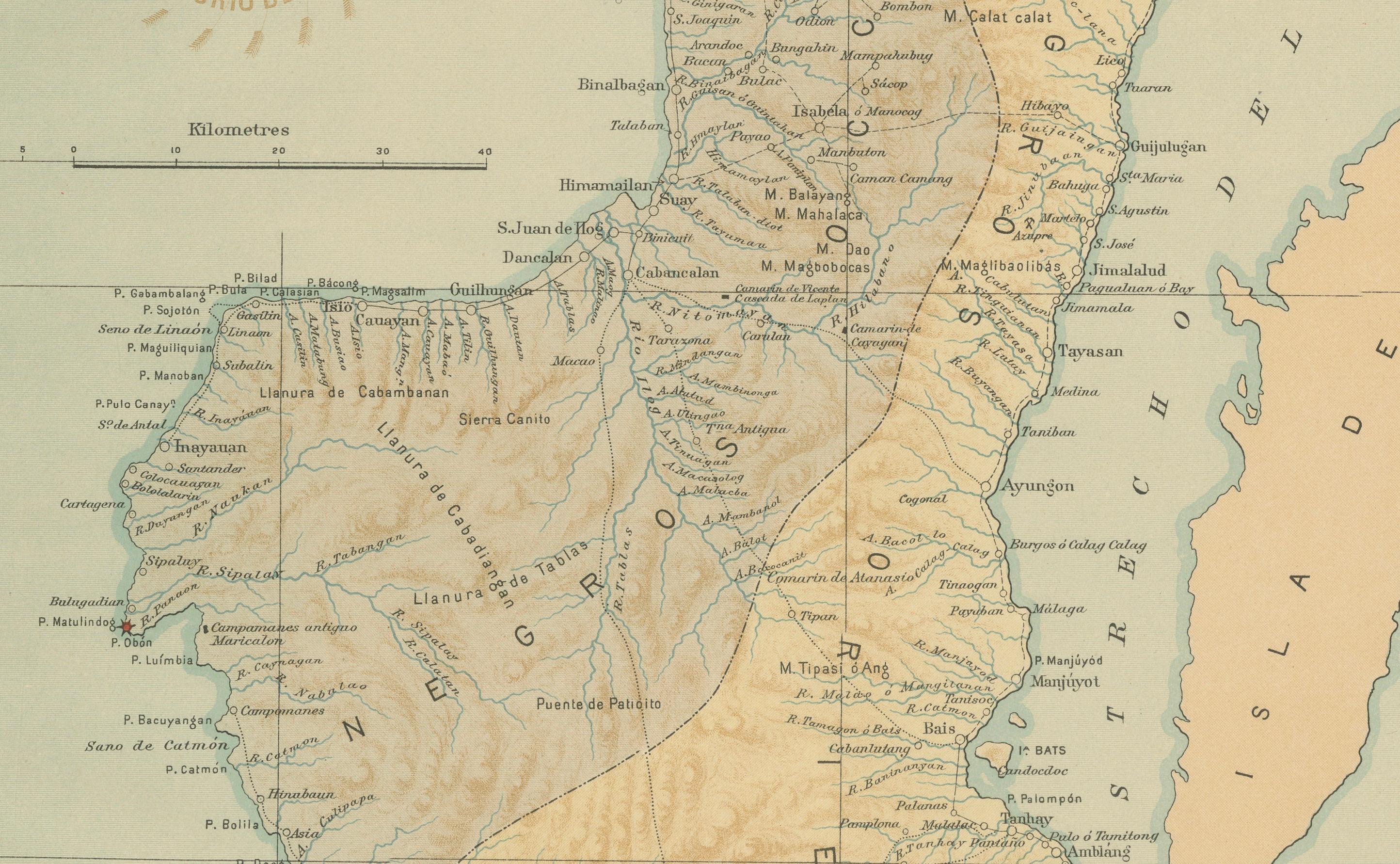
The map showcases the Jesuit Observatory’s masterful precision and artistry, combining scientific detail with visual refinement. Topographic relief is rendered in warm sepia tones, vividly illustrating the rugged volcanic terrain of the island, dominated by the Canlaon volcano and central mountain range. Numerous rivers, towns, and coastal settlements are carefully labeled, along with major administrative divisions such as Negros Occidental and Negros Oriental.
An inset at the upper left offers a closer view of the area around Bacolod and Talisay, highlighting early urban centers that would later grow into significant provincial capitals. The map’s legend (“Signos”) identifies capitals, pueblos, barrios, roads, and meteorological and seismological stations, reflecting the Jesuit commitment to both geographic and atmospheric study.
The map bears the circular seal of the “Observatorio de Manila” and the embossed insignia of the “U.S. Coast and Geodetic Survey,” confirming its inclusion in the 1900 *Atlas of the Philippine Islands*, published in Washington by the U.S. Government Printing Office. The atlas was a collaborative effort—drawn by Filipino draftsmen under Jesuit direction, later adopted and republished under American administration—bridging two colonial scientific traditions.
This map of Negros stands as one of the most accurate and aesthetically refined cartographic representations of the island from the late 19th century, notable for its clarity and scale.
Condition: Excellent, with clean margins, vibrant color preservation, and light natural toning at the edges. Embossed and inked institutional marks are intact and legible.
Framing tips: Ideal for display in a natural wood or walnut frame with a cream or light blue mat, complementing the map’s earth tones and maritime hues. Perfect for collectors of early Philippine cartography.
Technique: Chromolithograph on paper
Maker: Rev. José Algué, S.J., Observatorio de Manila, 1899