About this sheet
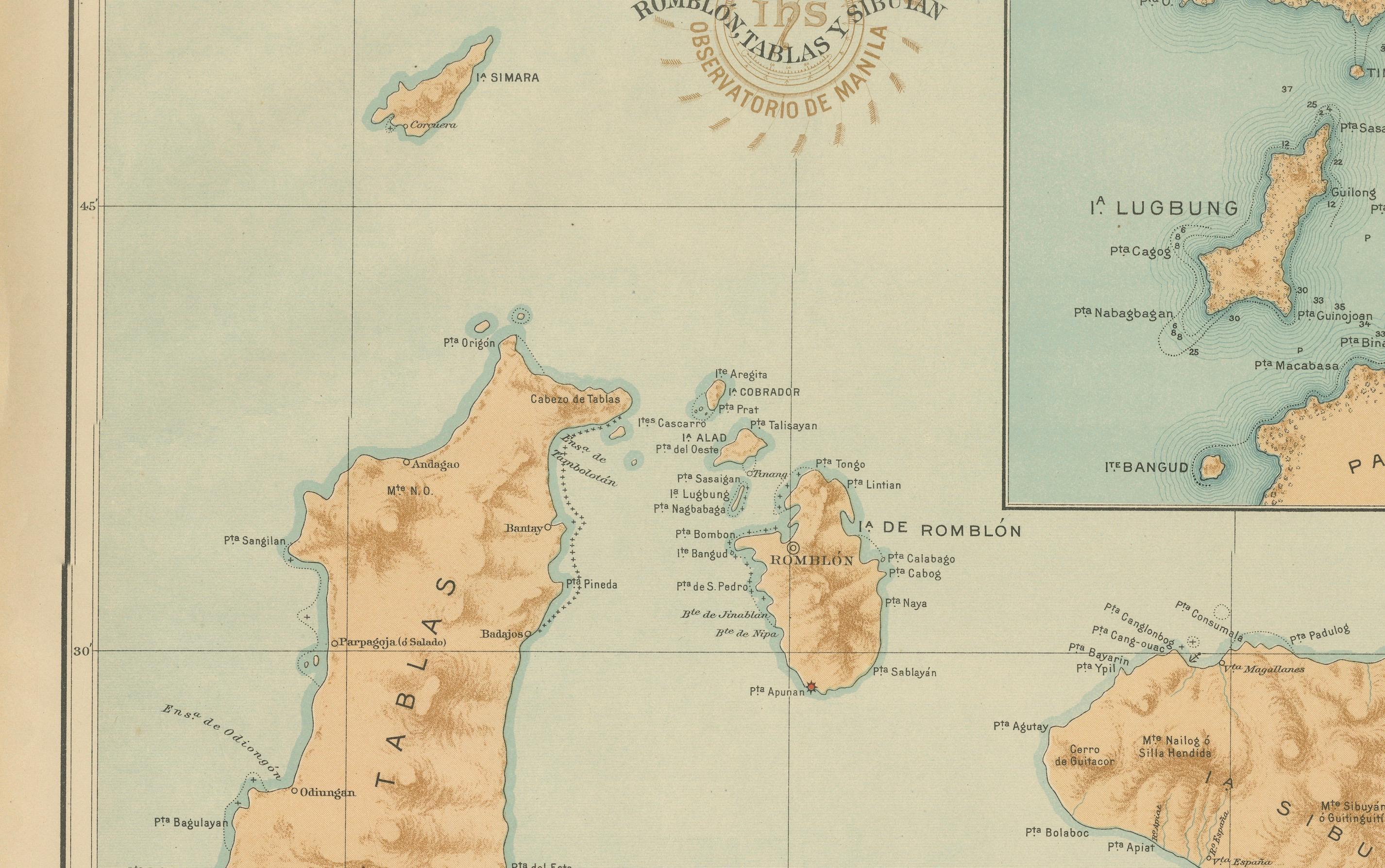
Map of Romblon, Tablas, and Sibuyan Islands – Observatorio de Manila, 1899
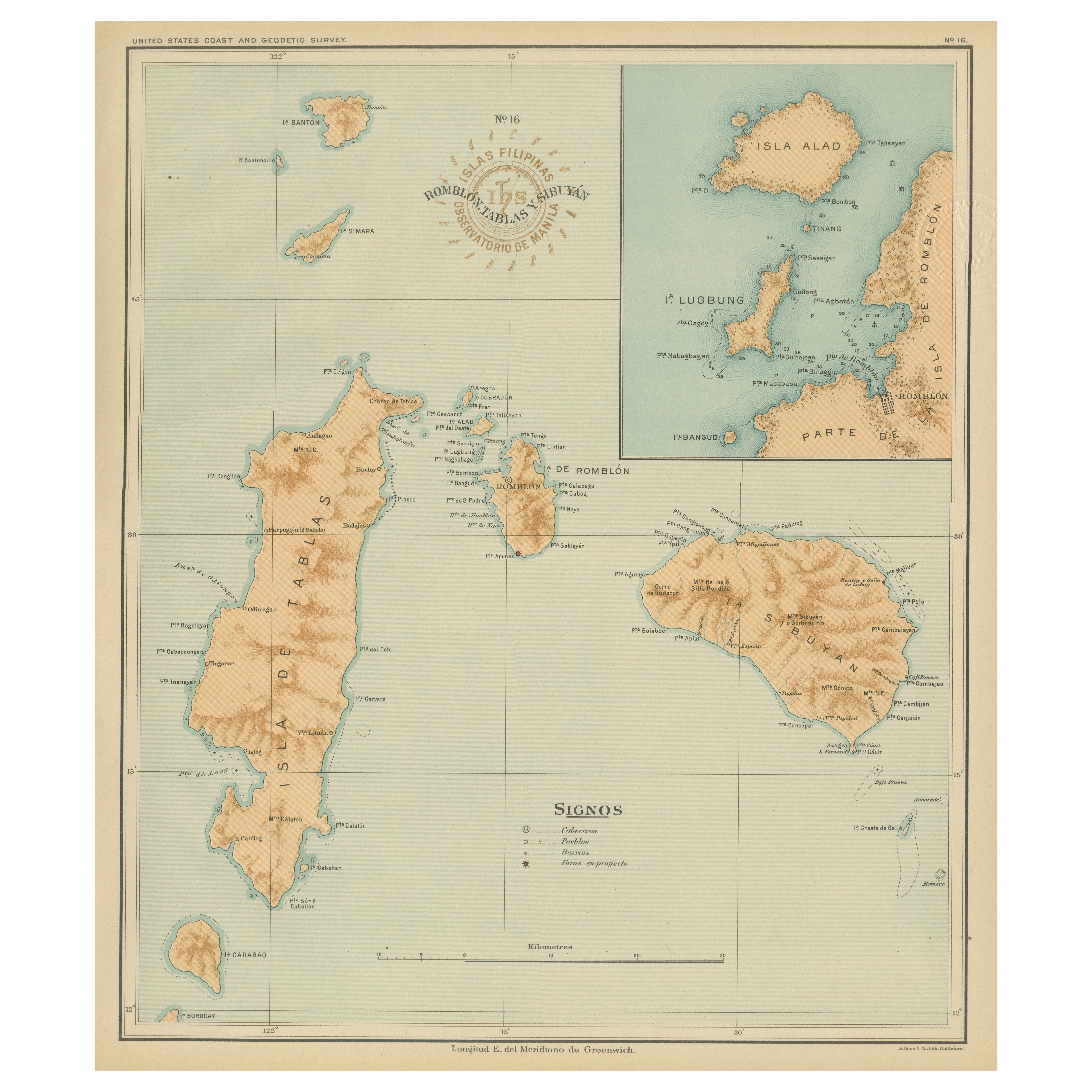
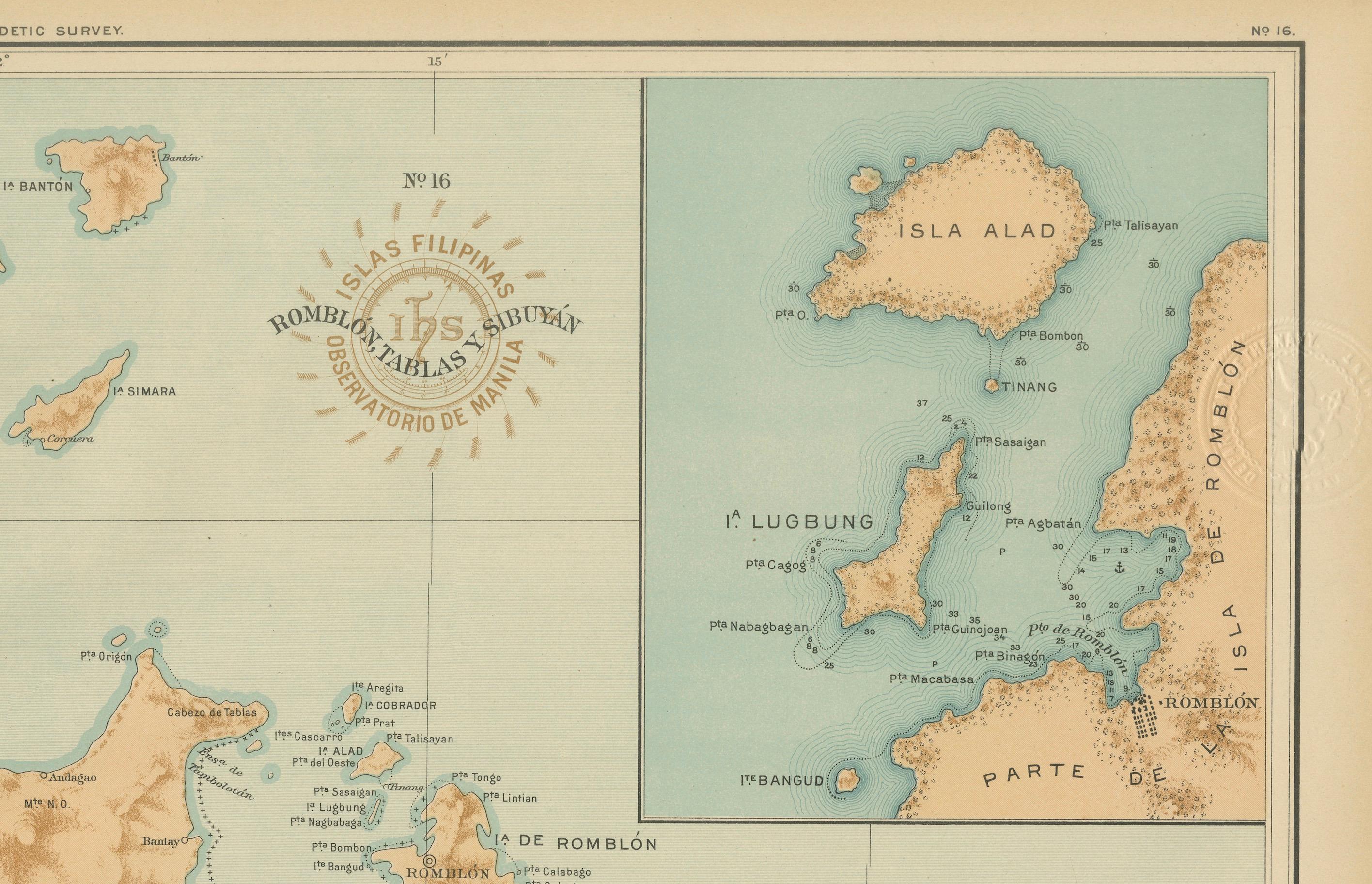
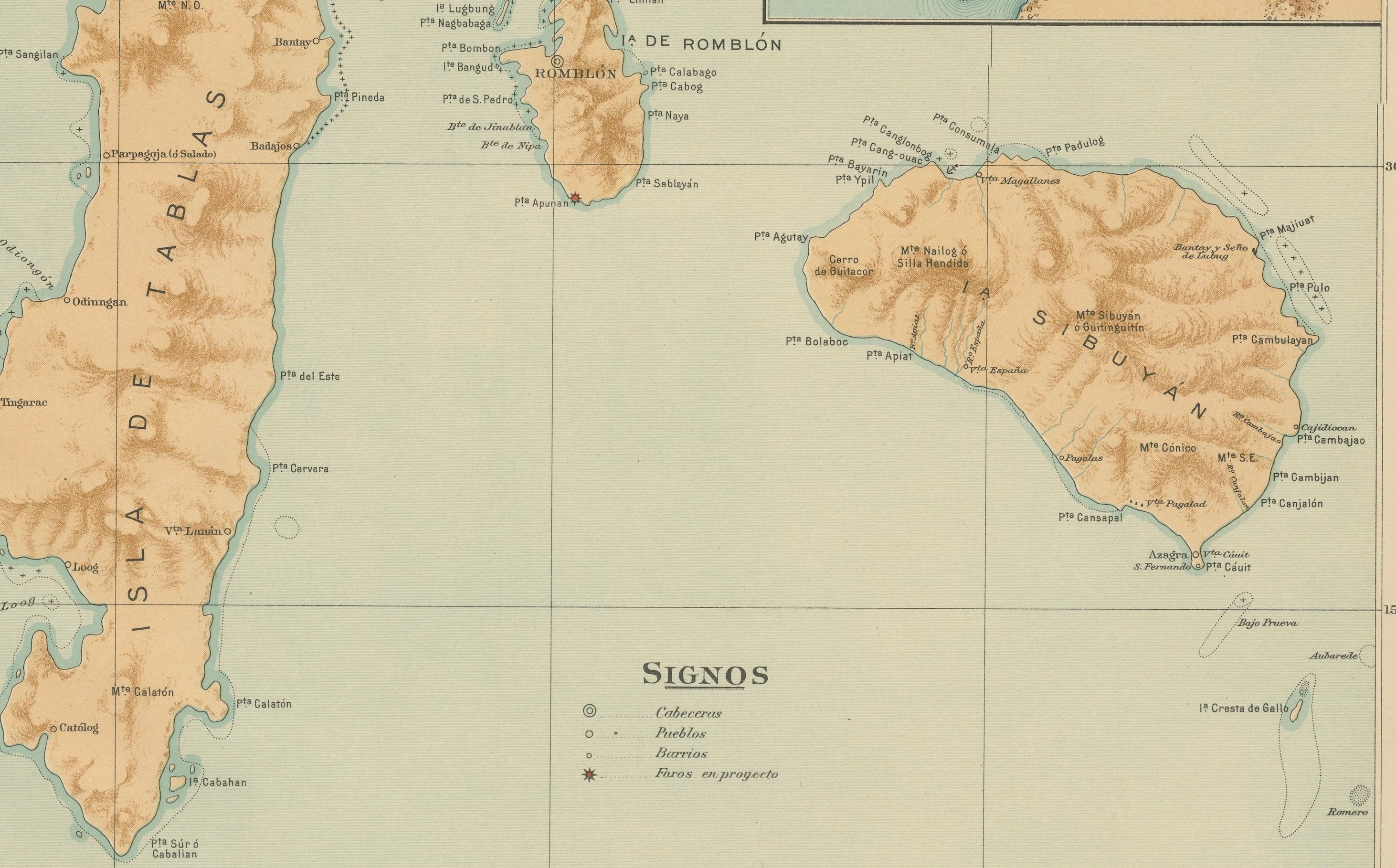
This detailed chromolithographed map titled “Islas Filipinas – Romblon, Tablas, Sibuyan” was created in 1899 under the supervision of Rev. José Algué, S.J., Director of the Observatorio de Manila, and published as Plate No. 16 from the *Atlas de Filipinas*. It depicts the three principal islands of the Romblon archipelago — Tablas, Romblon, and Sibuyan — along with surrounding smaller islands such as Carabao, Banton, Simara, and the inset of Alad and Lugbung.
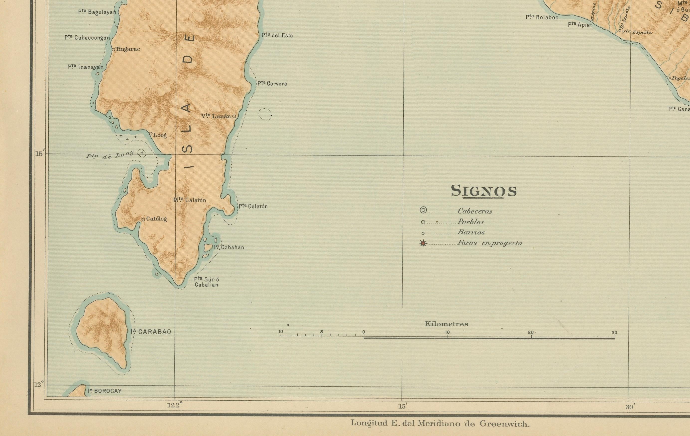
The map beautifully combines topographic precision with elegant color shading. Each island is rendered with fine brown relief tones that emphasize mountain ranges and valleys, while the surrounding seas are shaded in delicate aquamarine, giving the map a distinctive maritime aesthetic. Settlements and ports — including Odiongan, Cajidiocan, San Fernando, and Romblon — are clearly labeled, as are headlands (*Punta*), bays (*Bahía*), and smaller geographic features. The inset at upper right provides a close-up of the smaller islands east of Romblon, drawn to the same fine scale.
The legend (“Signos”) identifies symbols for cabeceras (capitals), pueblos (towns), barrios, and planned stations (*fuera en proyecto*). The red circular stamp of the “Observatorio de Manila” and the embossed seal of the “U.S. Coast and Geodetic Survey” confirm the official inclusion of this map in the 1900 Washington edition of the *Atlas of the Philippine Islands*, printed by the U.S. Government Printing Office.
This plate stands as one of the most visually balanced and scientifically accurate depictions of the Romblon group from the late 19th century. Produced by Filipino draftsmen under Jesuit direction, it reflects the merging of Spanish scientific cartography and early American publication standards, capturing the archipelago’s rugged geography with both artistry and precision.
Condition: Excellent, with vivid original color and minimal edge toning. The paper remains strong and clean, with crisp institutional embossing and seals intact.
Framing tips: A dark teak or walnut frame with a cream or sea-blue mat will emphasize the map’s maritime tones and enhance its decorative appeal in nautical or historical interiors.
Technique: Chromolithograph on paper
Maker: Rev. José Algué, S.J., Observatorio de Manila, 1899