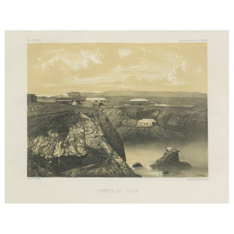
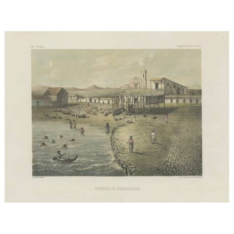
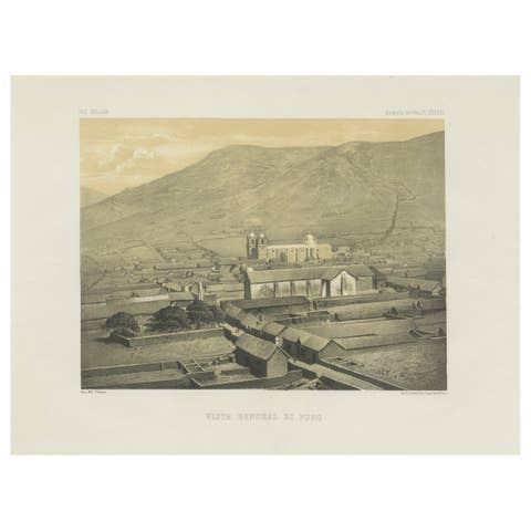
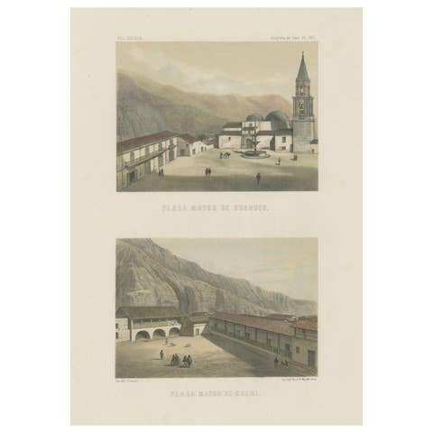
Iquique Peru (Now Chile) – Antique Coastal City Lithograph c.1865
€ 440
Original antique · The actual sheet photographed · Certificate of authenticity on request · Sold unframed · Worldwide shipping from € 15 (rates)
Date
1865
Sheet size
35.3 × 49.8 cm (13.9 × 19.6 in)
Condition
Good
Reference
BG-14032-5
What the condition grades mean
Excellent
Bright and clean, with no faults worth mentioning.
Very good
Only light signs of age, such as faint toning.
Good
Normal signs of age for a sheet of this period: toning, some foxing, small marks or neat old repairs.
Fair
Clear faults such as staining, tears or repairs, priced to match.
Every fault we see is written in the condition note, and the whole sheet is shown uncropped in the photos.
Condition
Condition report: Very good condition with wide margins. A few scattered foxing spots in the margins, image clean and well-inked. Plate mark clearly visible. Blank verso.
About this sheet
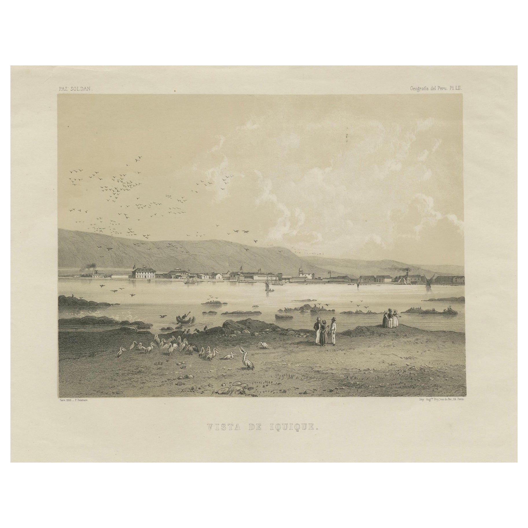
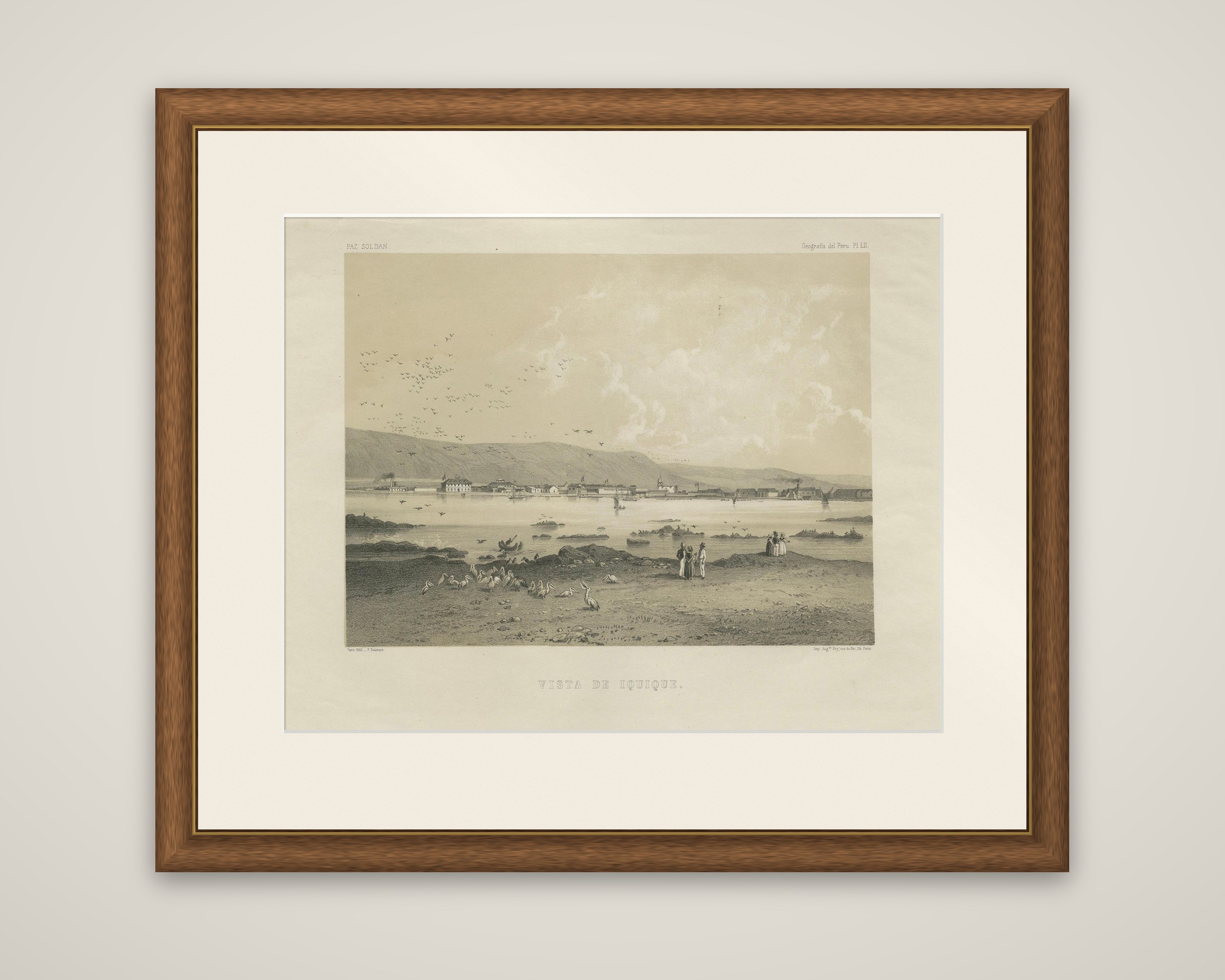
The port of Iquique, a lithograph from Mariano Felipe Paz Soldán's Atlas Geográfico de la República del Perú, published in Paris in 1865. The plate is lettered "Vista de Iquique" beneath the image, with "Paz Soldán" at the upper left and "Geografía del Perú, Pl. LII" at the upper right. It is printed in tones of sepia on cream paper, with the artist and printers' credits (F. Delamare, drawn; H. Jacomme, printed) below the image.
The town stretches in a low line along the water beneath a bare coastal hill, with a few larger buildings, a church tower and a windmill, and ships lie in the bay. In the foreground a group of figures stands on a rocky shore, and pelicans gather on the sand at the left, with a flock of birds crossing the sky above.
Iquique was then a Peruvian port, in the nitrate country of the Tarapacá coast, and it passed to Chile after the War of the Pacific of 1879 to 1883. The plate shows the town as it appeared in the 1860s, as part of the atlas's series of lithographed views.