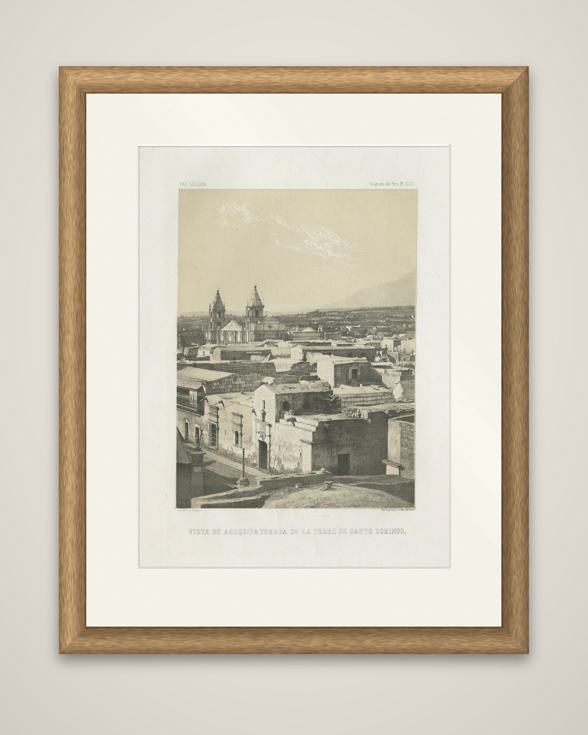
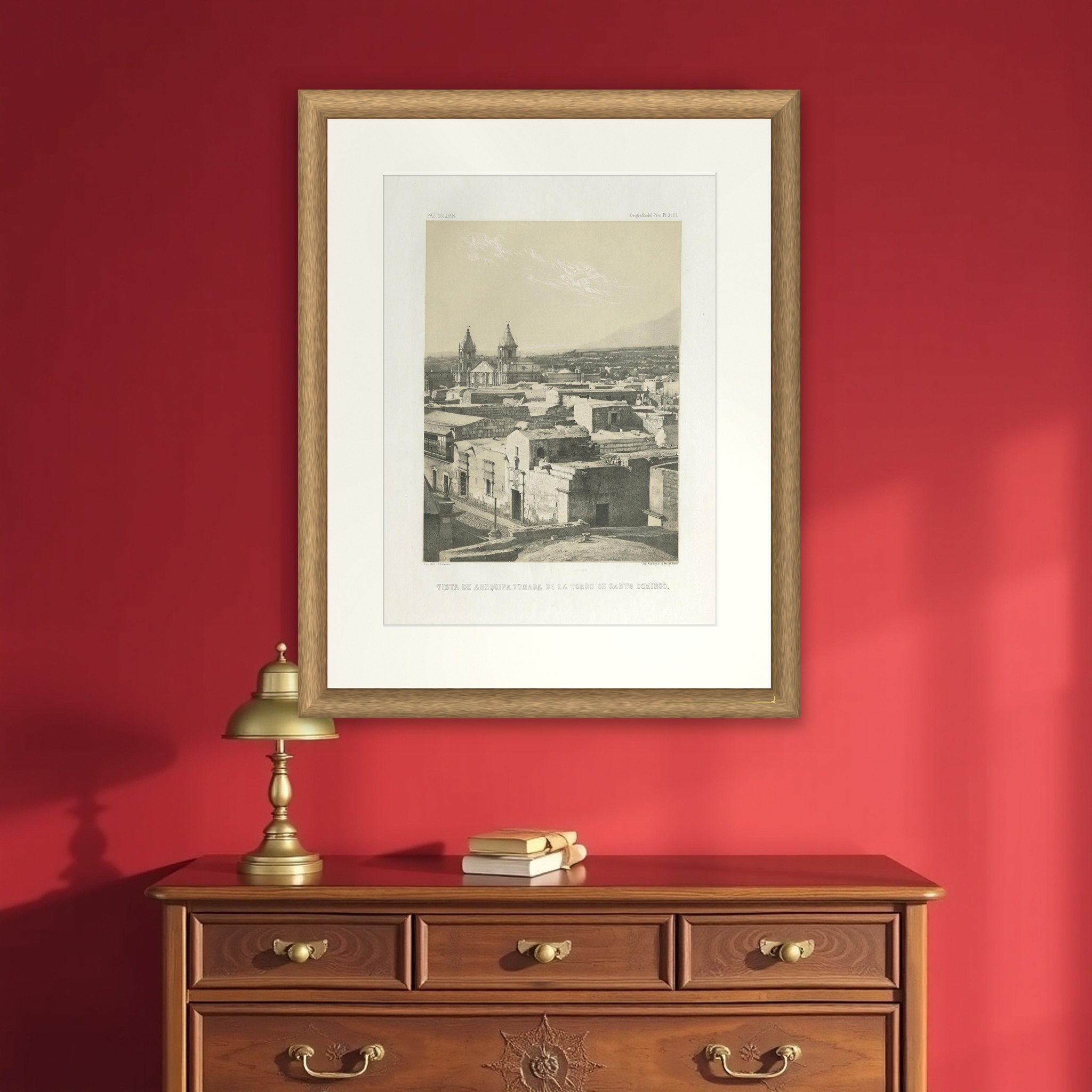
Antique lithograph view of Arequipa from the Tower of Santo Domingo – 1865
€ 440
Original antique · The actual sheet photographed · Certificate of authenticity on request · Sold unframed · Worldwide shipping from € 15 (rates)
Date
1865
Sheet size
52.4 × 35.4 cm (20.6 × 13.9 in)
Condition
Good
Reference
BG-14032-17
What the condition grades mean
Excellent
Bright and clean, with no faults worth mentioning.
Very good
Only light signs of age, such as faint toning.
Good
Normal signs of age for a sheet of this period: toning, some foxing, small marks or neat old repairs.
Fair
Clear faults such as staining, tears or repairs, priced to match.
Every fault we see is written in the condition note, and the whole sheet is shown uncropped in the photos.
Condition
Condition report: Very good condition with strong tonal contrasts. Minor foxing in the margins and a faint crease at the edge, not affecting the printed image. Wide margins preserved. Plate mark visible. Blank verso.
About this sheet
Arequipa seen from the tower of its Santo Domingo church, an original lithograph printed in sepia tints from Mariano Felipe Paz Soldán's Atlas Geográfico del Perú, published in Paris in 1865. The plate title "Vista de Arequipa tomada de la Torre de Santo Domingo" is lettered beneath the image, with the drawing credited to F. Delamare and the printing to H. Jacomme.
The upright composition looks across flat roofs and thick stone walls in the foreground, past a street corner with a small cross, to the twin-towered church rising in the middle distance. Beyond the town the land runs level to the foot of a volcanic mountain that fills the upper right of the sheet, under a pale, streaked sky.
Arequipa is known as the White City for its buildings of pale volcanic sillar stone, and the view records its roofscape in the mid-19th century. Paz Soldán, Peru's leading geographer of his generation, published his atlas with 49 maps and 29 views. The atlas, printed in Paris by Lemercier, was the first comprehensive national atlas of Peru, combining maps, plans and views of its cities, ports and landscapes.