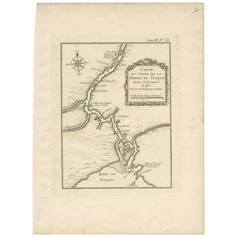
Antique Map of Tonkin, Northern Vietnam – Red River Delta, Engraved circa 1780
€ 440
One of a kind: this is the sheet in the photographs. Ships from Langweer, the Netherlands.
Date
1780
Sheet size
40 × 37.5 cm (15.7 × 14.8 in)
Reference
BG-14078-40
Condition
Very good, with a number of folds as issued, light toning along folds, and minor handling marks. Paper is strong, with a clear plate mark.
About this sheet
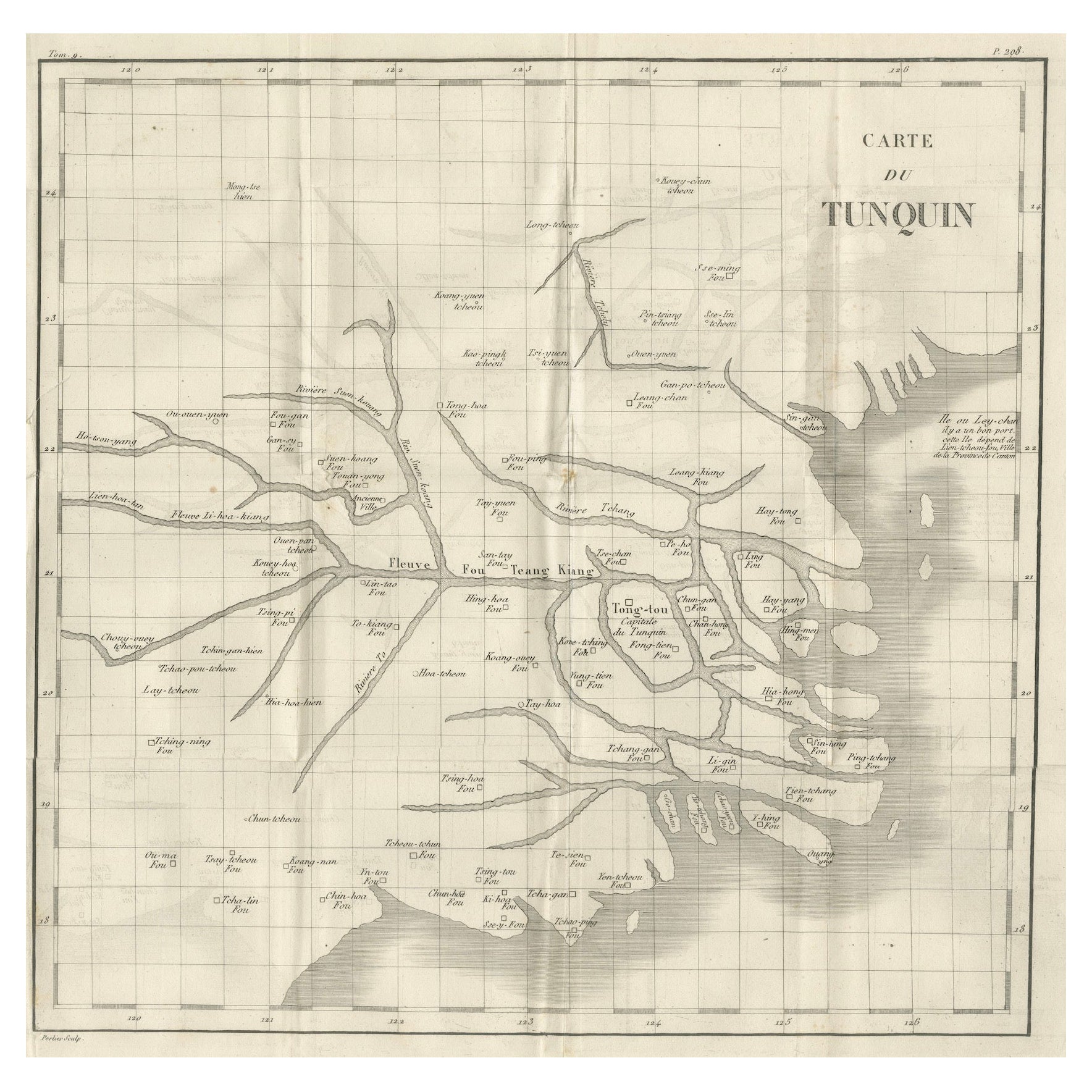
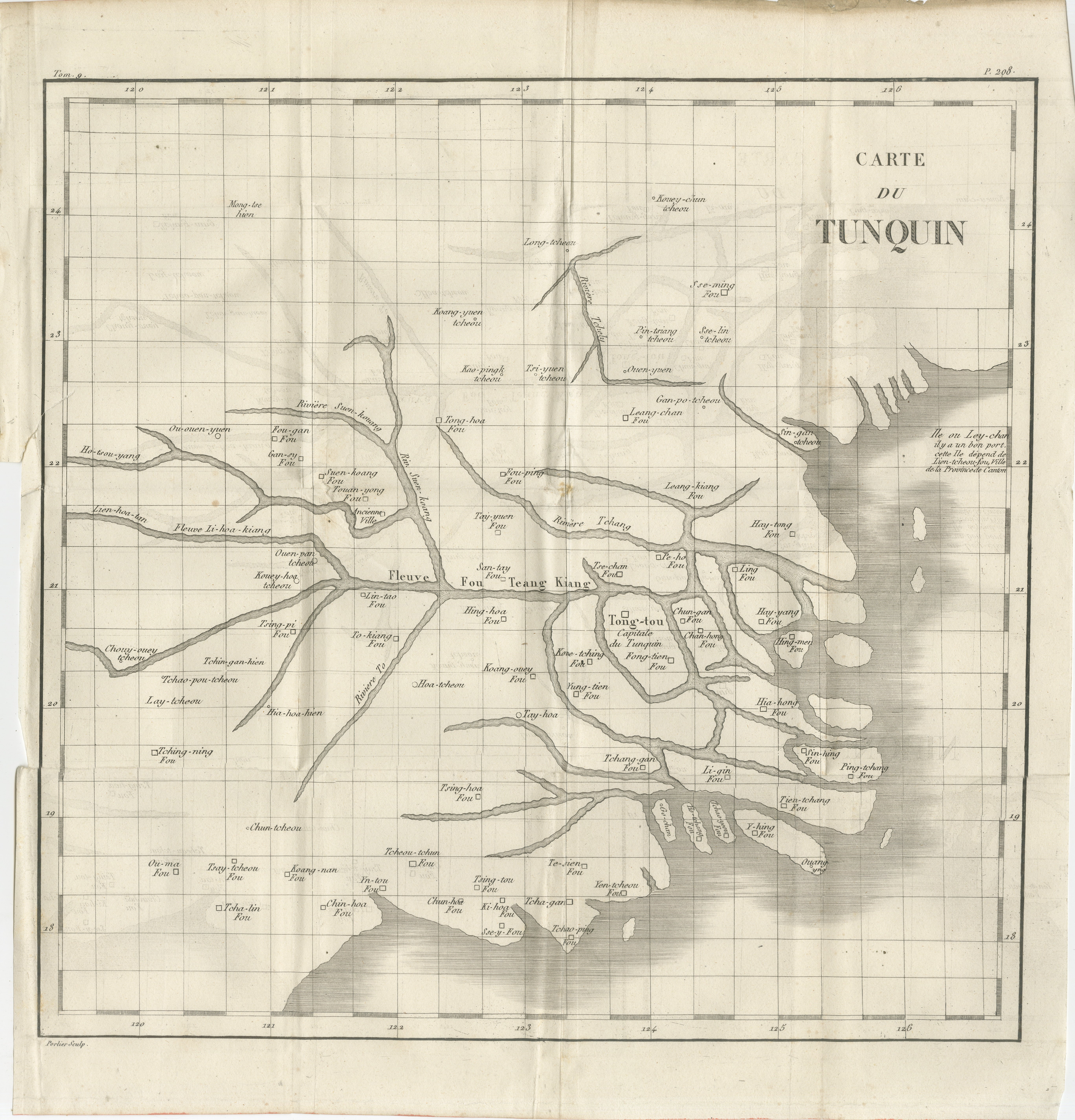
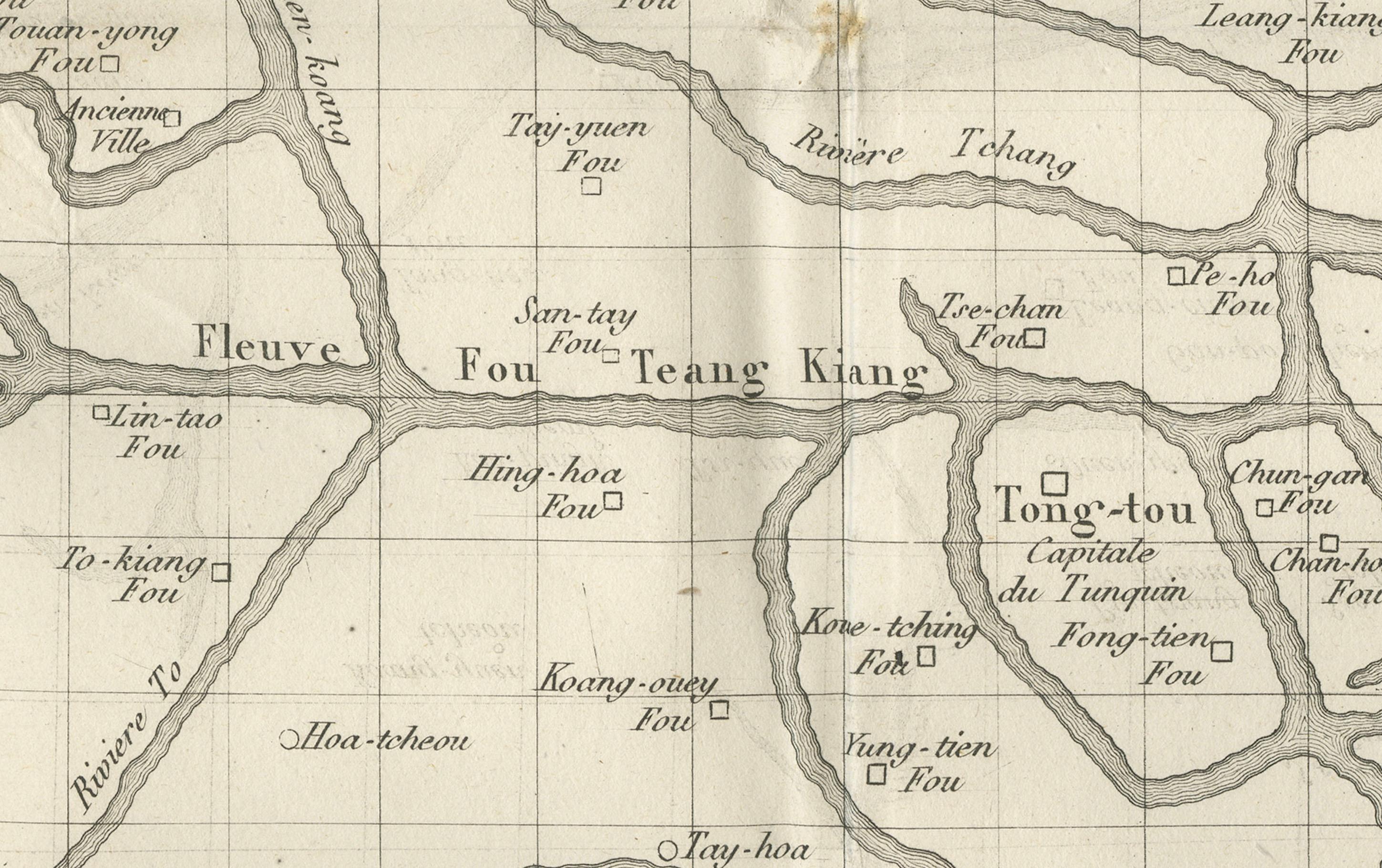
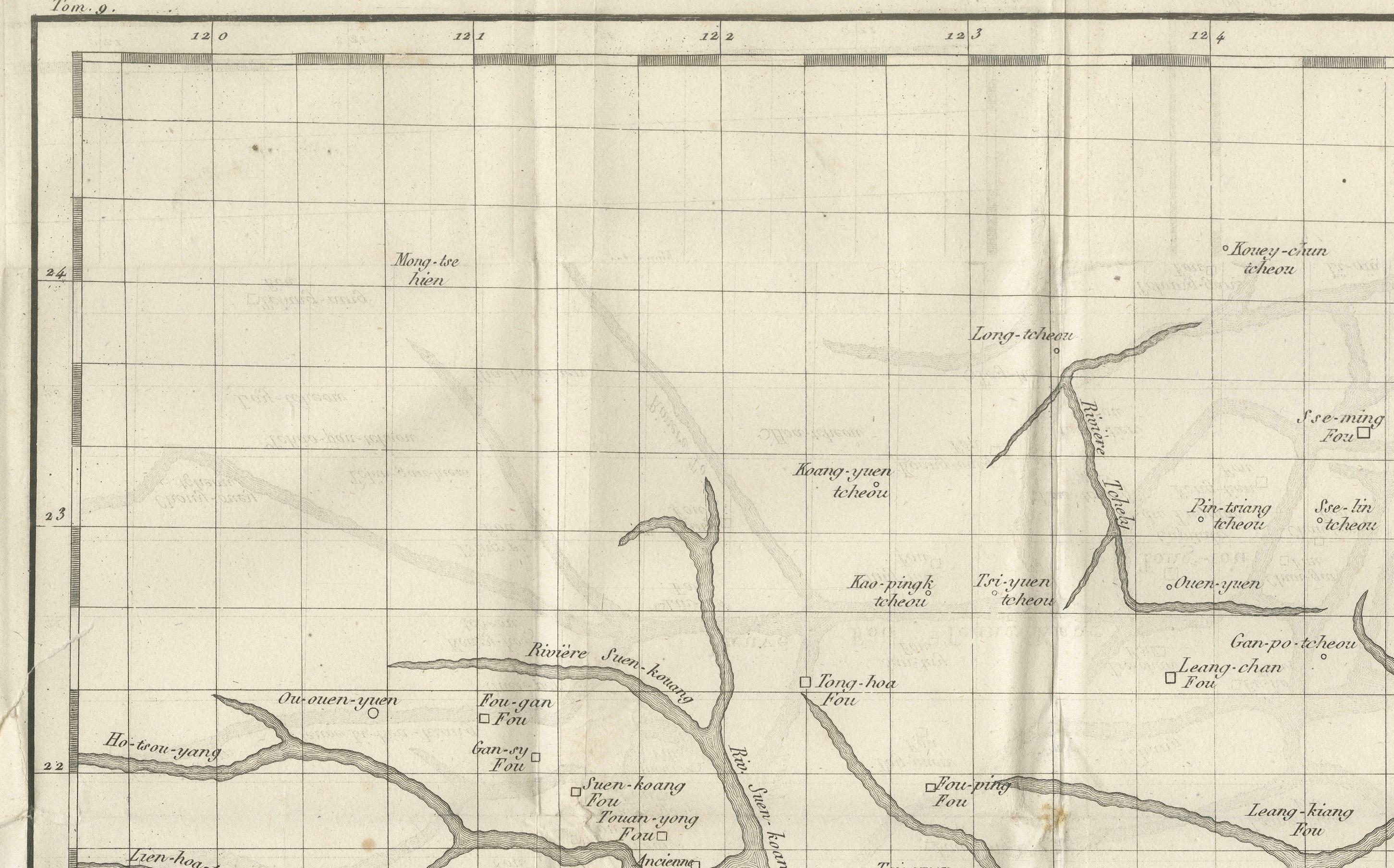
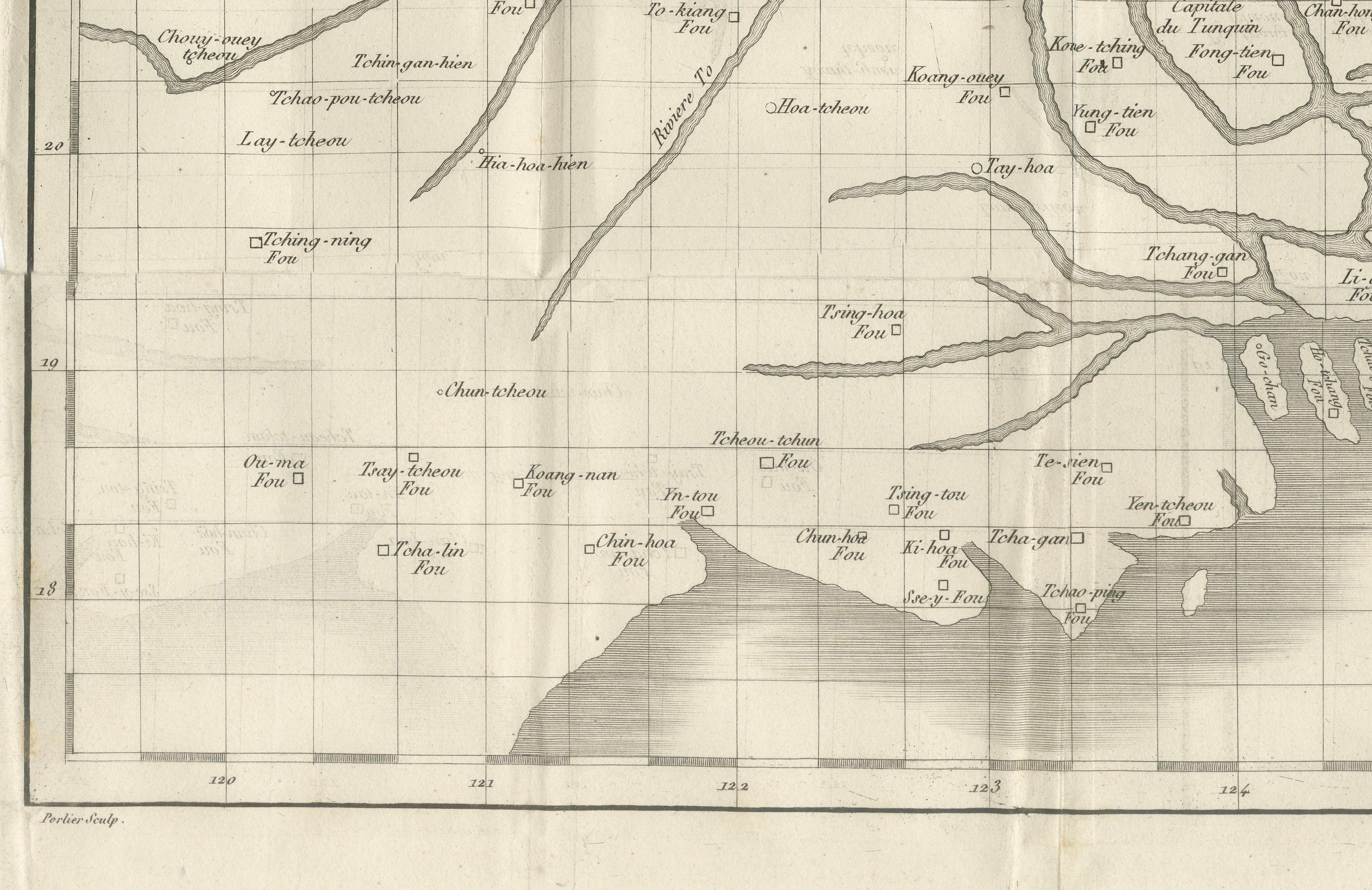
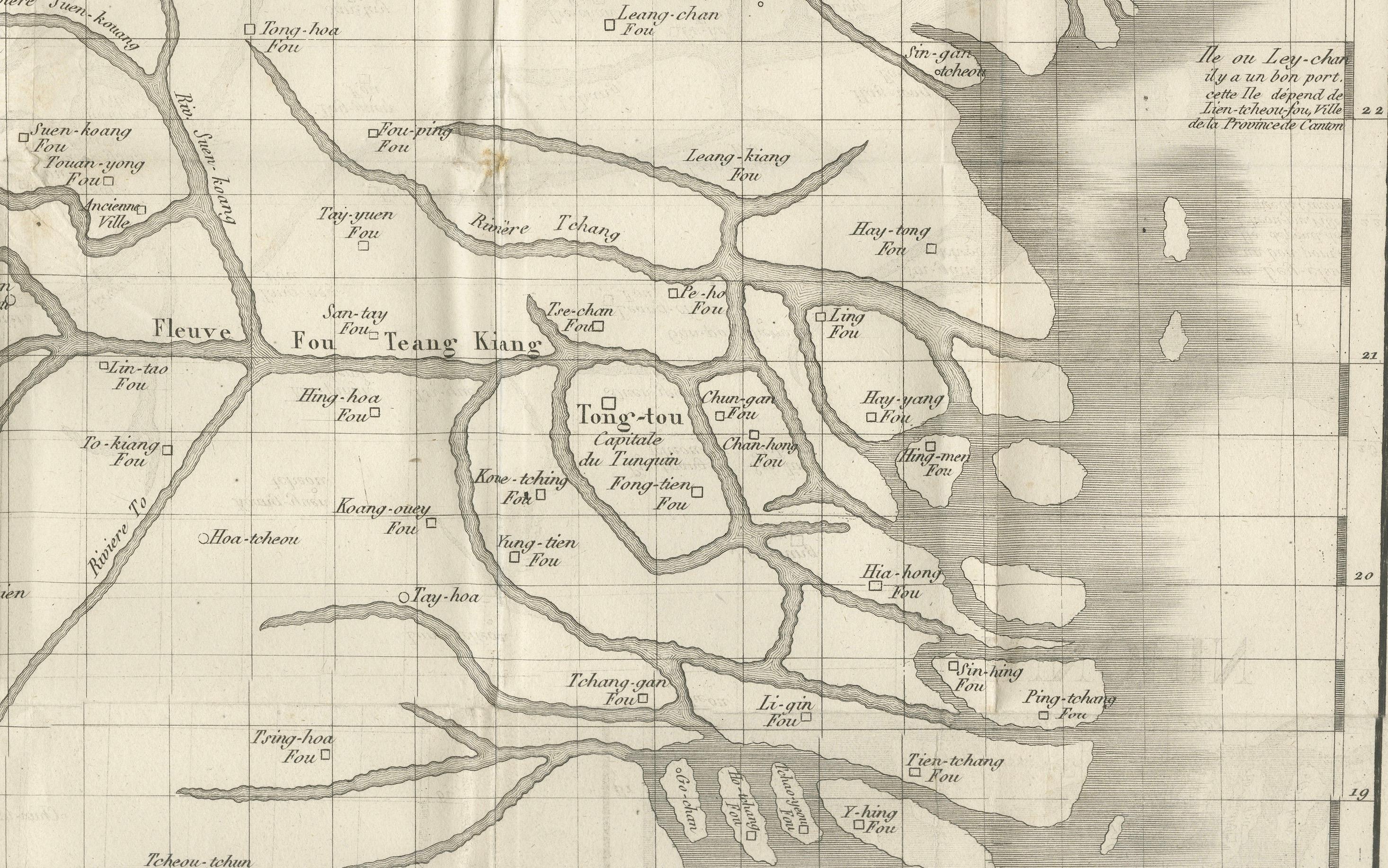
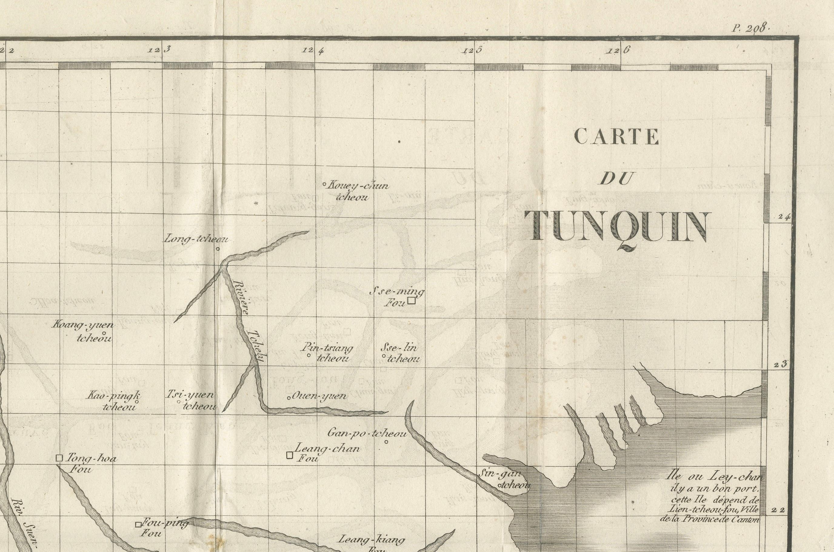
Map of Tonkin. This early engraved map shows the historical region of Tonkin in northern Vietnam, centered on the Red River Delta and the capital, present-day Hanoi (here marked as Tong-Atou). Numerous rivers, tributaries, and settlements are labeled, reflecting the intricate waterways that shaped trade, agriculture, and transportation in the region. The map uses a grid coordinate system and employs shading to indicate coastal and water areas. It is a fine example of 18th-century European cartographic interest in Southeast Asia, often informed by trade missions, Jesuit reports, and early colonial ambitions.
Condition: Very good, with a number of folds as issued, light toning along folds, and minor handling marks. Paper is strong, with a clear plate mark.
Framing tips: A dark wood or black frame with a light cream or ivory mat will highlight the fine engraved detail and maintain the antique character. Consider UV-protective glass for preservation.
Technique: Copperplate engraving Maker: Unspecified, 18th century, likely French cartographic school