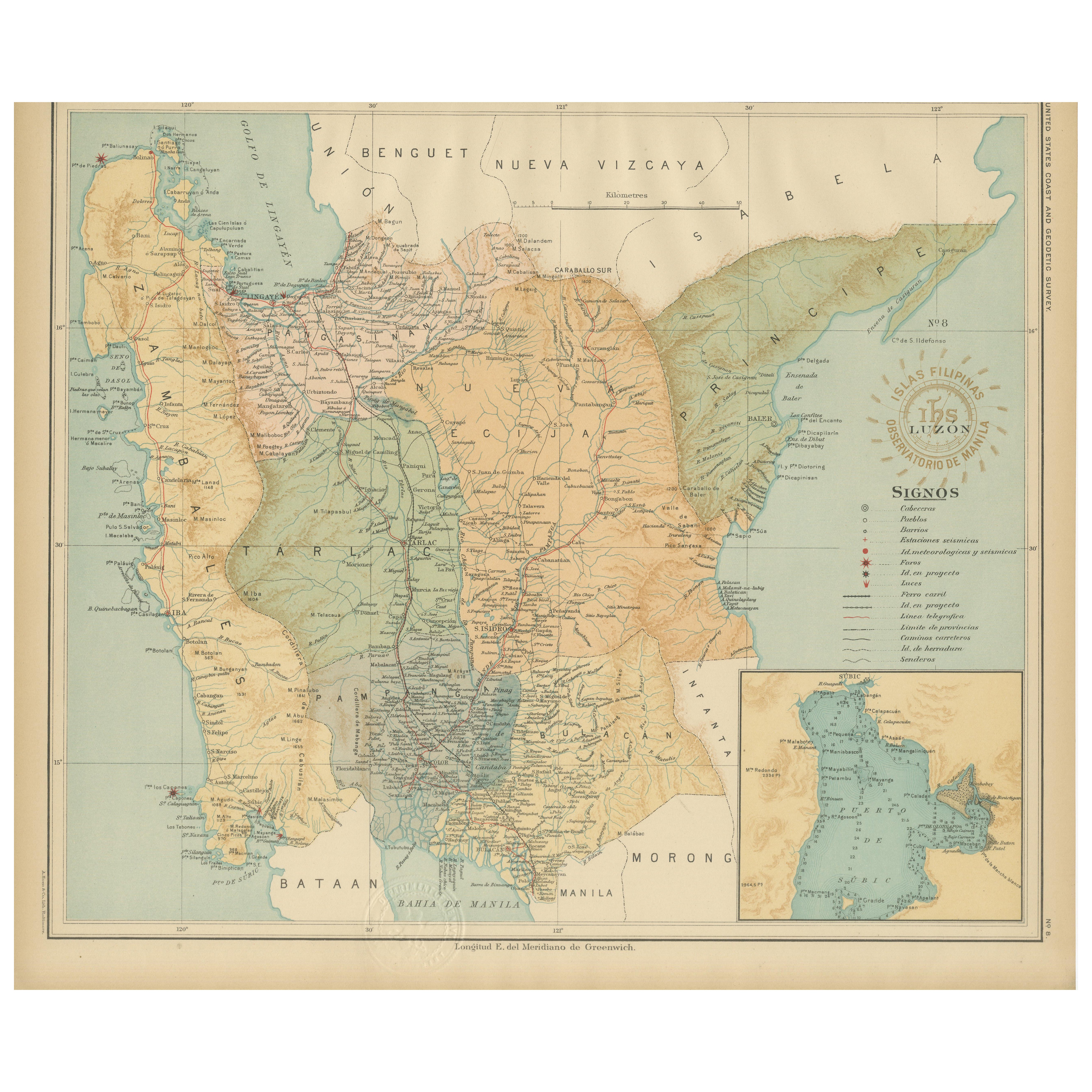
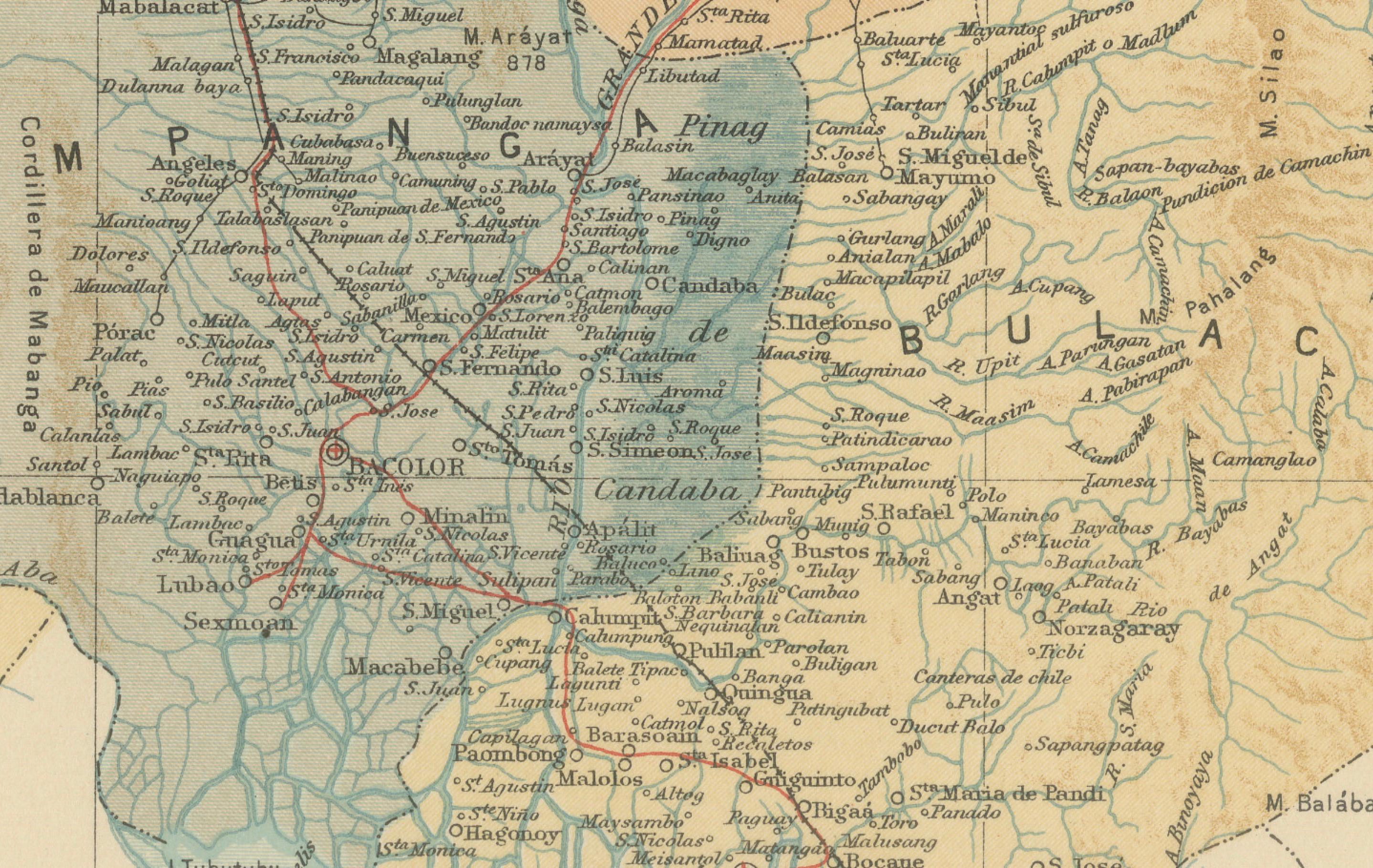
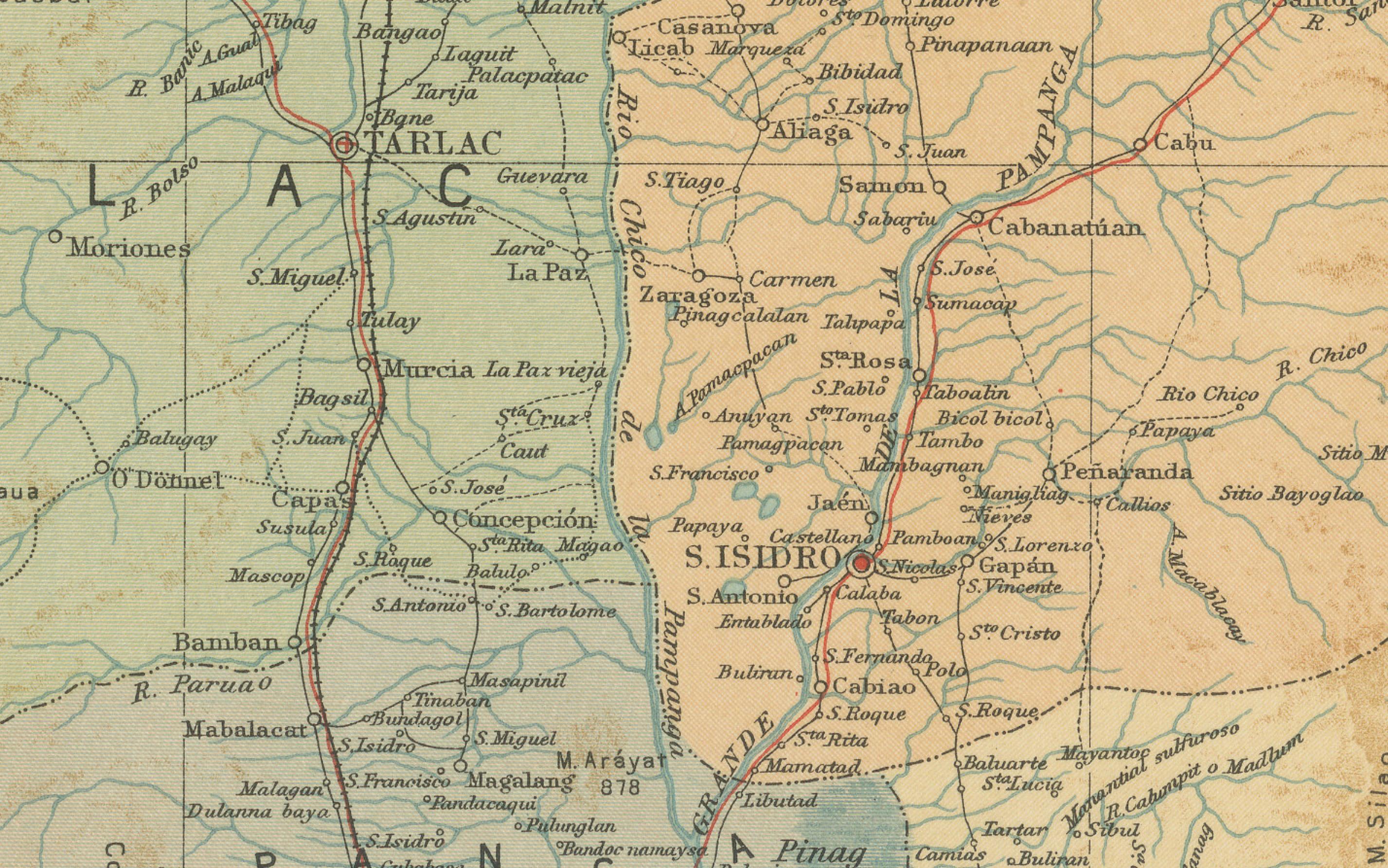
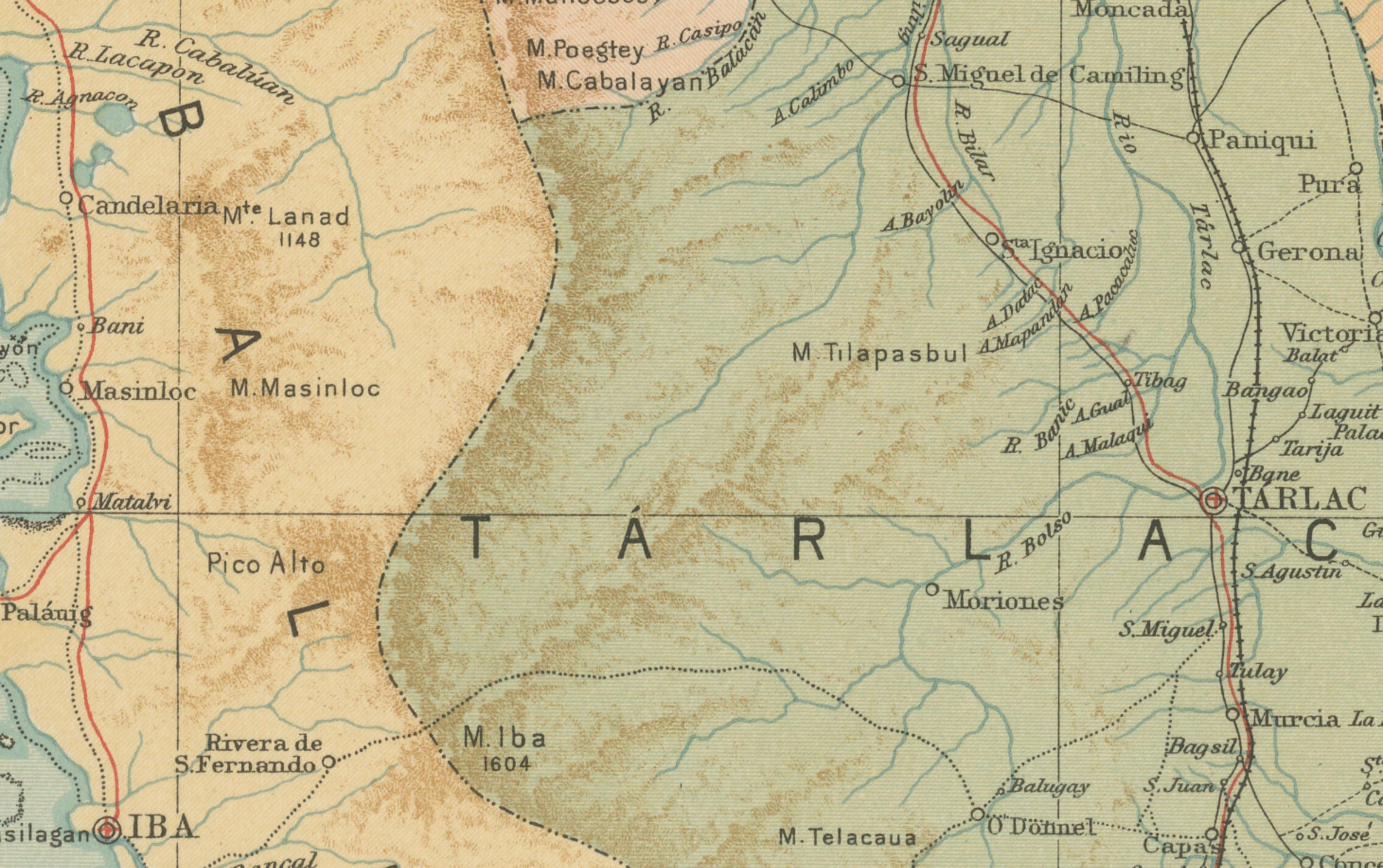
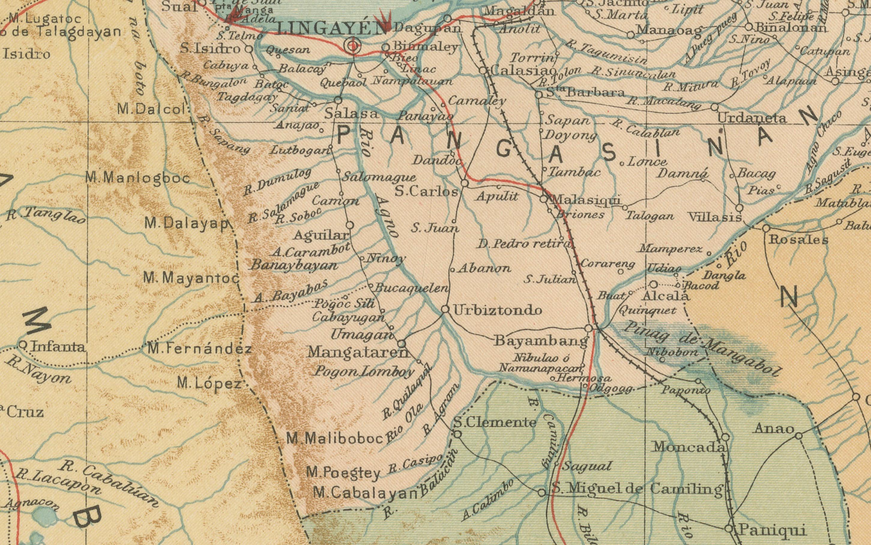
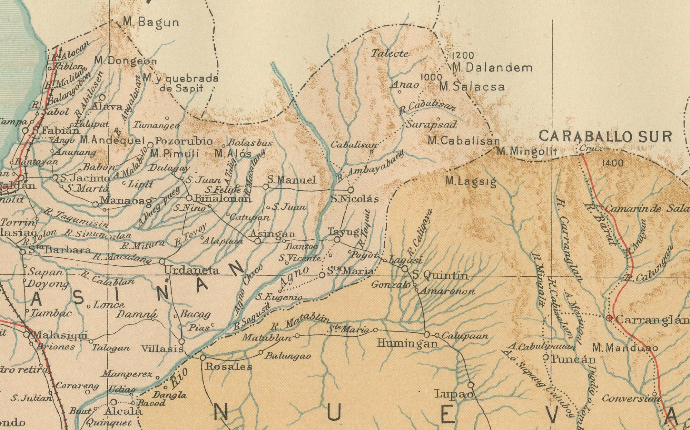
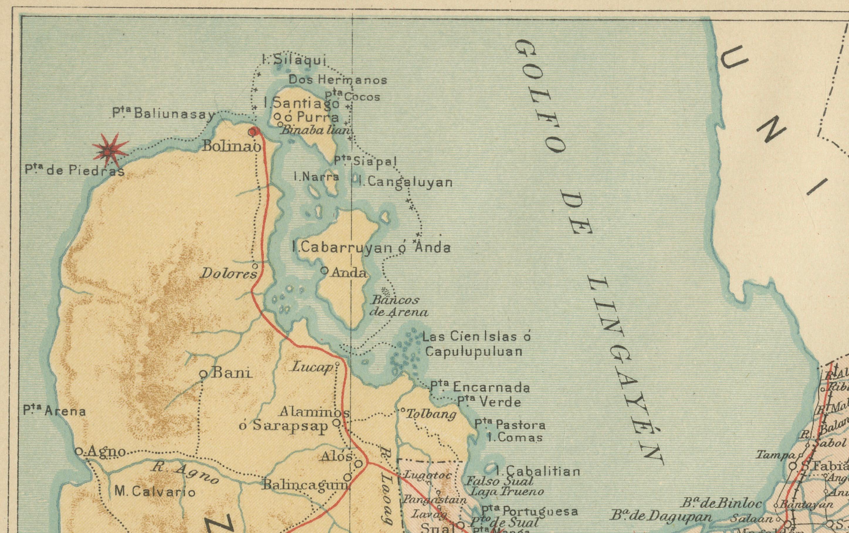
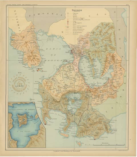
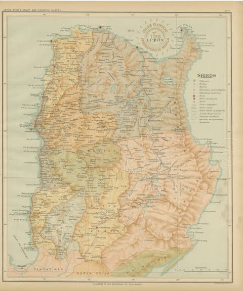
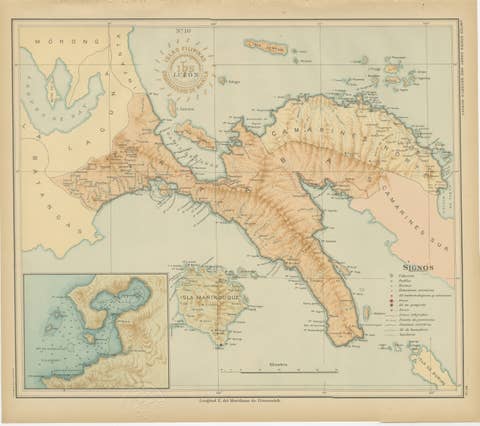
Central Luzon Topographic and Hydrographic Map – Observatorio de Manila, 1899
€ 440
One of a kind: this is the sheet in the photographs. Ships from Langweer, the Netherlands.
Date
1899
Sheet size
37 × 32.5 cm (14.6 × 12.8 in)
Condition
Excellent
Reference
BG-12176-8
Condition
with original color, mild toning along the margins, and clean impressions of both inked and embossed institutional stamps.
About this sheet
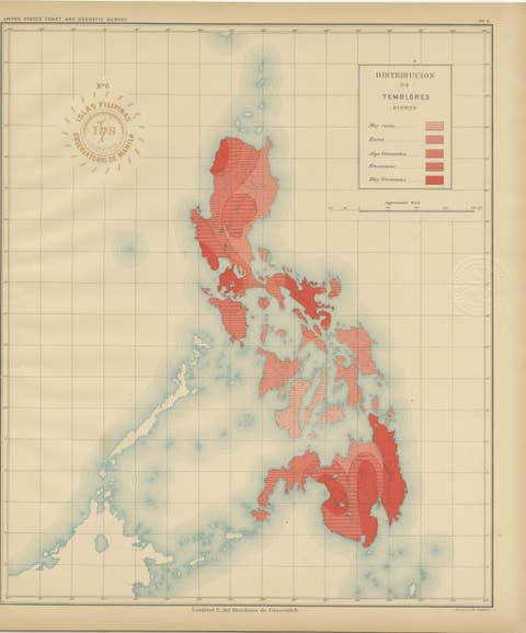
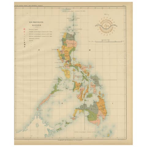
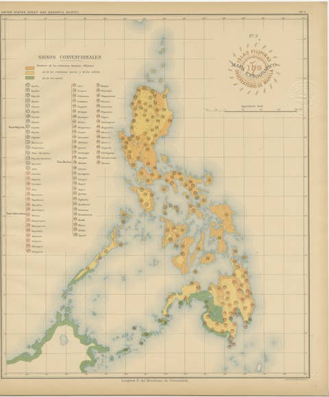
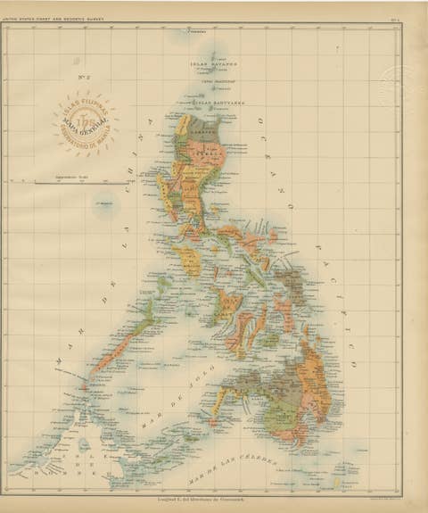
This highly detailed chromolithograph titled “Islas Filipinas – Luzón” was created under the supervision of Rev. José Algué, S.J., Director of the Observatorio de Manila, and published in 1899 as Plate No. 8 from the *Atlas de Filipinas*. It presents an extraordinary topographical and hydrographic survey of Central Luzon, including the provinces of Pampanga, Tarlac, Nueva Ecija, Pangasinan, and portions of Zambales and Manila Bay.
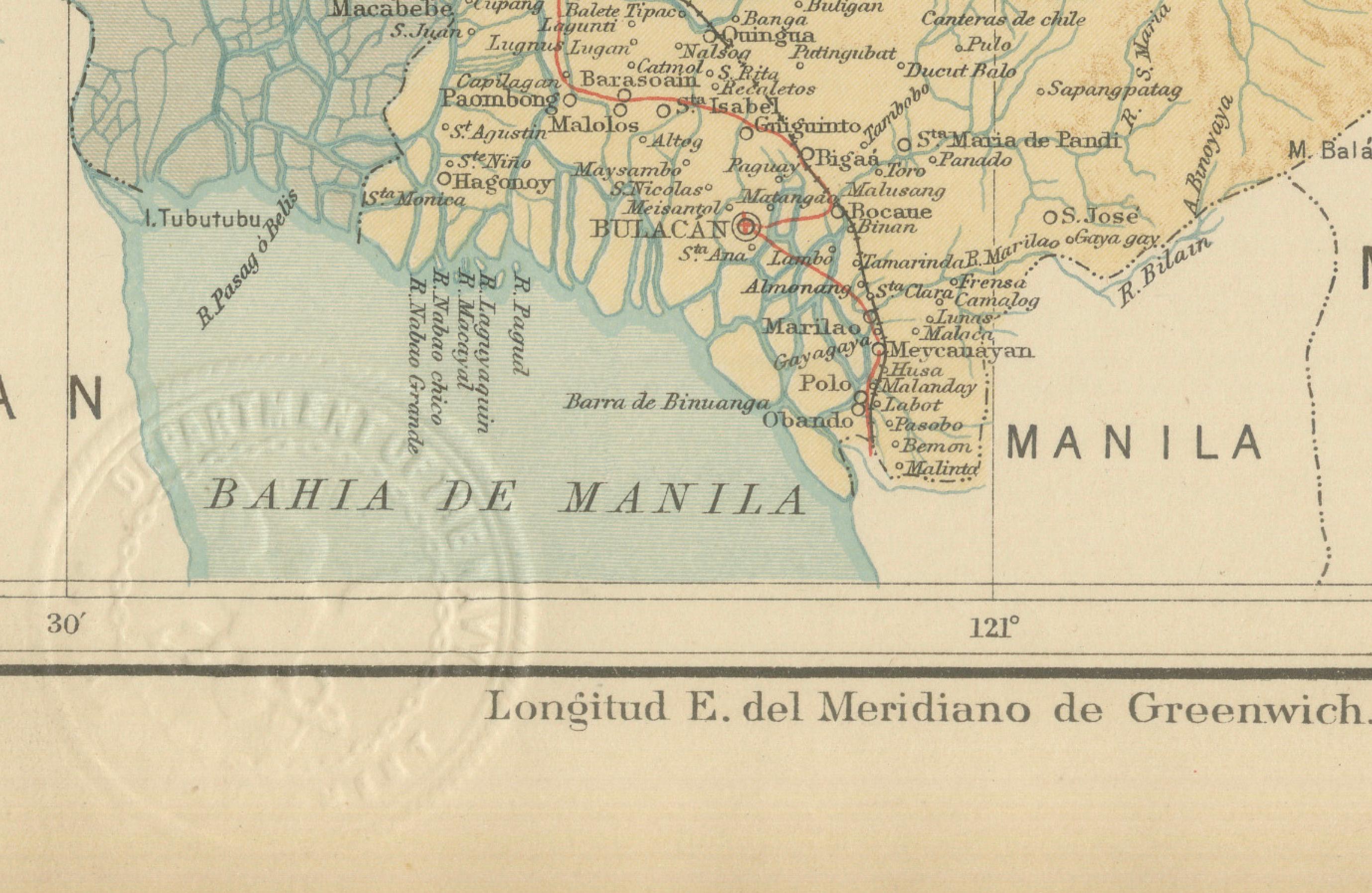
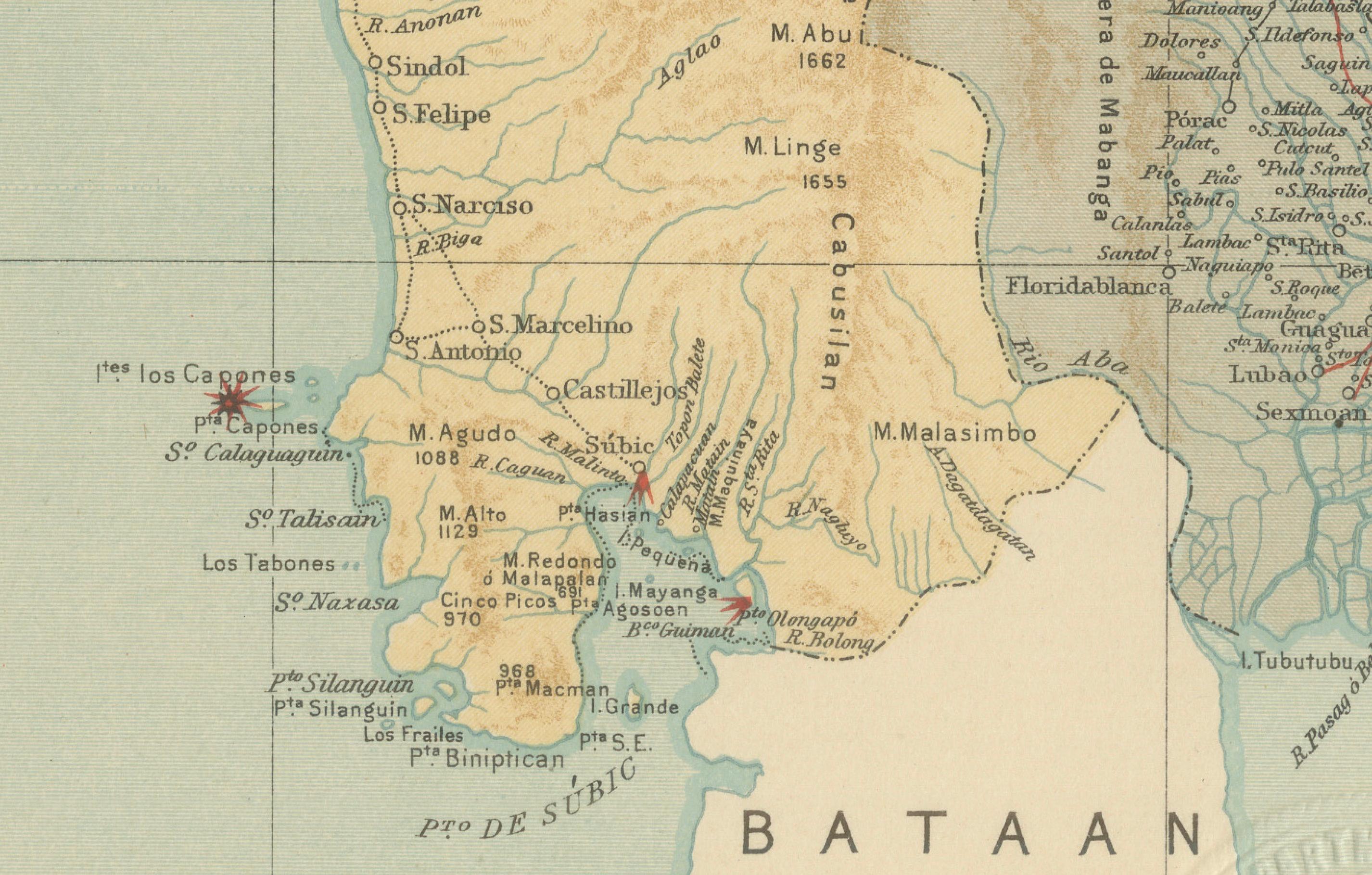
The map displays with remarkable accuracy the complex network of rivers, floodplains, and mountain ranges that define the region. It includes the Pampanga River system, the Caraballo Mountains, and the marshlands that feed into the Bahía de Manila (Manila Bay). Coastal and inland settlements are meticulously marked, from San Fernando and Angeles in Pampanga to Tarlac and Cabanatuan in Nueva Ecija. Red lines trace the telegraph and proposed railway routes—symbols of the Philippines’ modernization at the turn of the century.
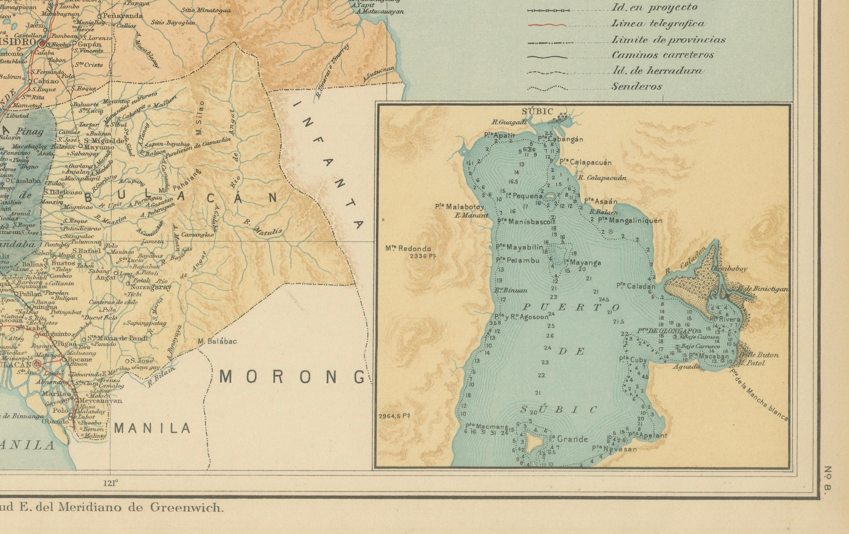
The inset map at the lower right corner shows the Gulf of Lingayen in greater detail, highlighting the cartographic thoroughness of the Jesuit surveyors. The legend (“Signos”) at the right explains an array of symbols for observatories, meteorological and seismic stations, roads, rivers, and telegraph lines. The map is stamped with the red circular seal of the “Observatorio de Manila” and bears the embossed insignia of the “U.S. Coast and Geodetic Survey,” linking this edition to the 1900 Washington publication *Atlas of the Philippine Islands*.
This work stands as a testament to the scientific excellence of the Jesuit Observatory of Manila, which was among Asia’s most advanced research institutions in the late 19th century. Produced by native Filipino draftsmen under Jesuit direction, it combines aesthetic refinement with scientific precision and remains an essential document in Philippine cartographic history.
Condition: Excellent, with original color, mild toning along the margins, and clean impressions of both inked and embossed institutional stamps.
Framing tips: Best displayed in a medium oak or black frame with an off-white mat to highlight the earthy color palette and topographical relief.
Technique: Chromolithograph on paper Maker: Rev. José Algué, S.J., Observatorio de Manila, 1899