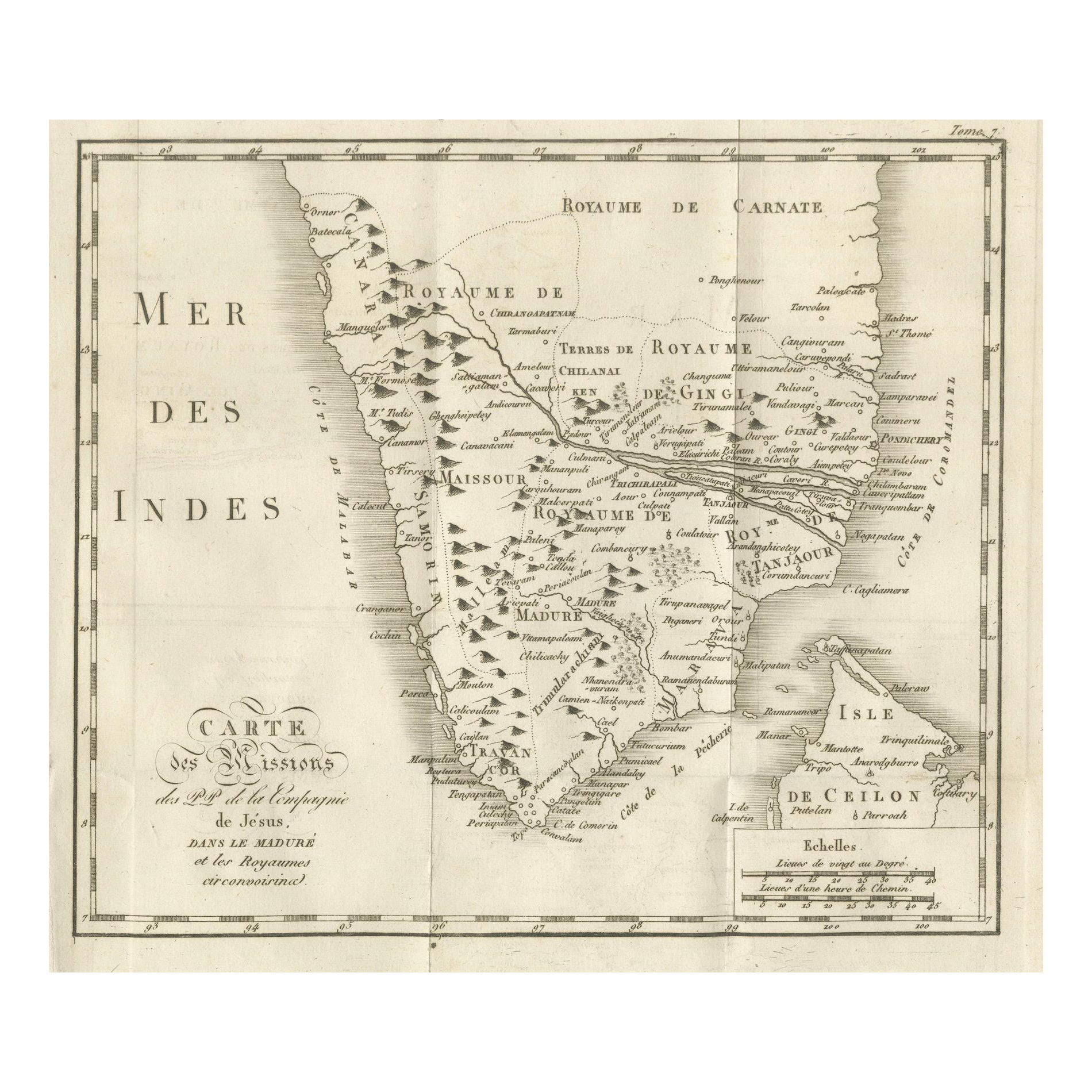
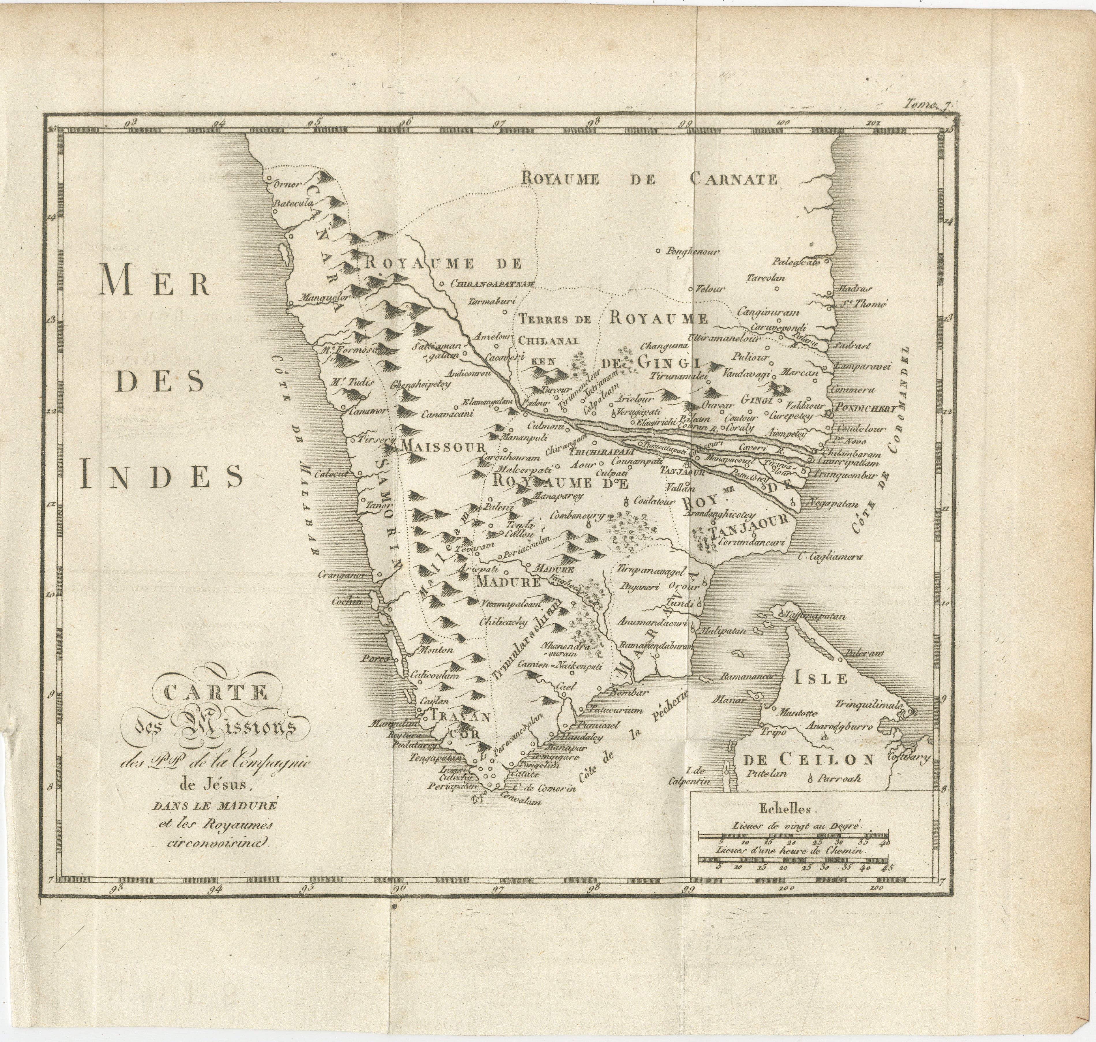
Antique Map of the Jesuit Missions in Madurai and Surrounding Kingdoms, c.1760
€ 440
One of a kind: this is the sheet in the photographs. Ships from Langweer, the Netherlands.
Date
1760
Sheet size
25.5 × 26.5 cm (10.0 × 10.4 in)
Reference
BG-14078-30
Condition
Very good for age, with central folds as issued. Slight toning and minor handling marks in margins. Strong plate impression with crisp linework and clear lettering.
About this sheet
Antique Map of the Jesuit Missions in Madurai and Surrounding Kingdoms, c.1760
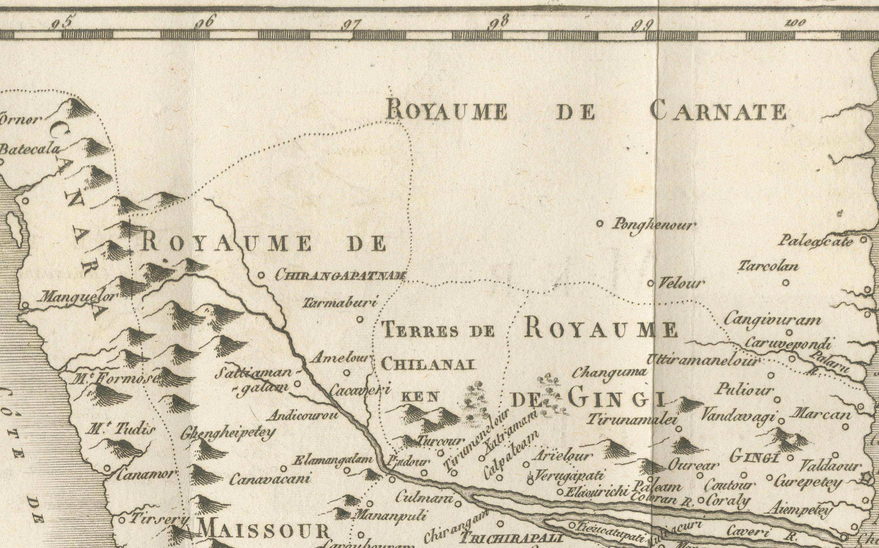
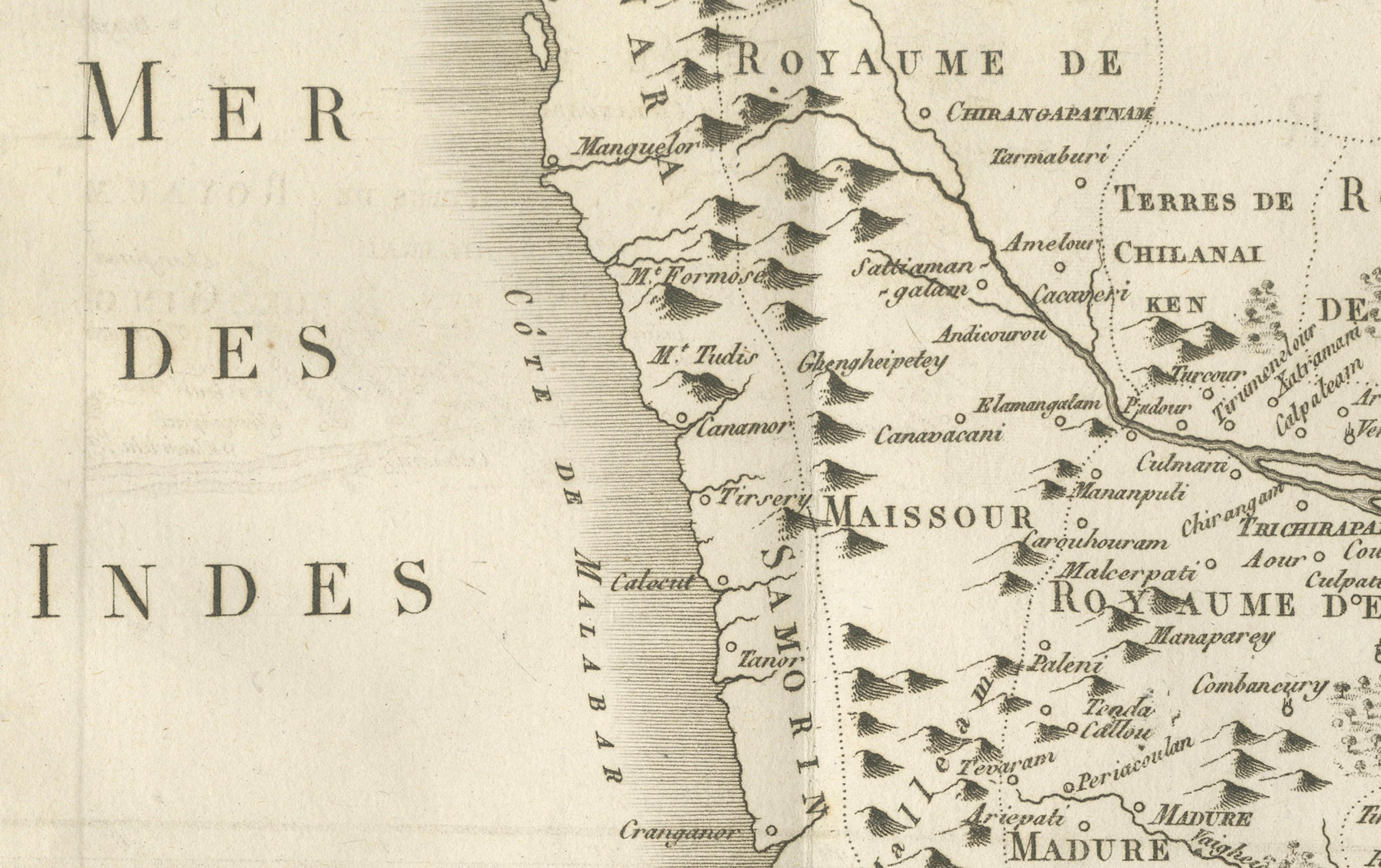
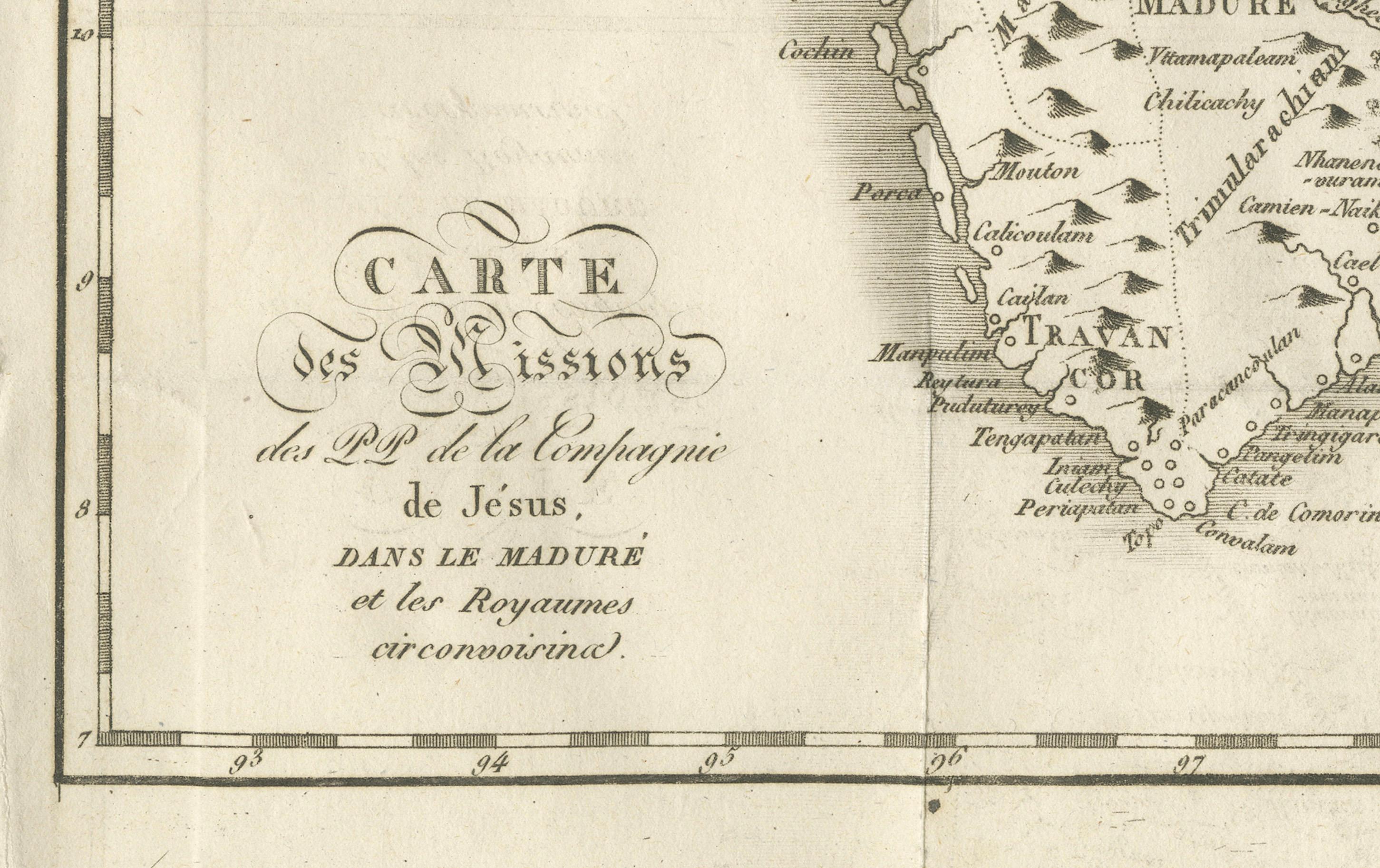
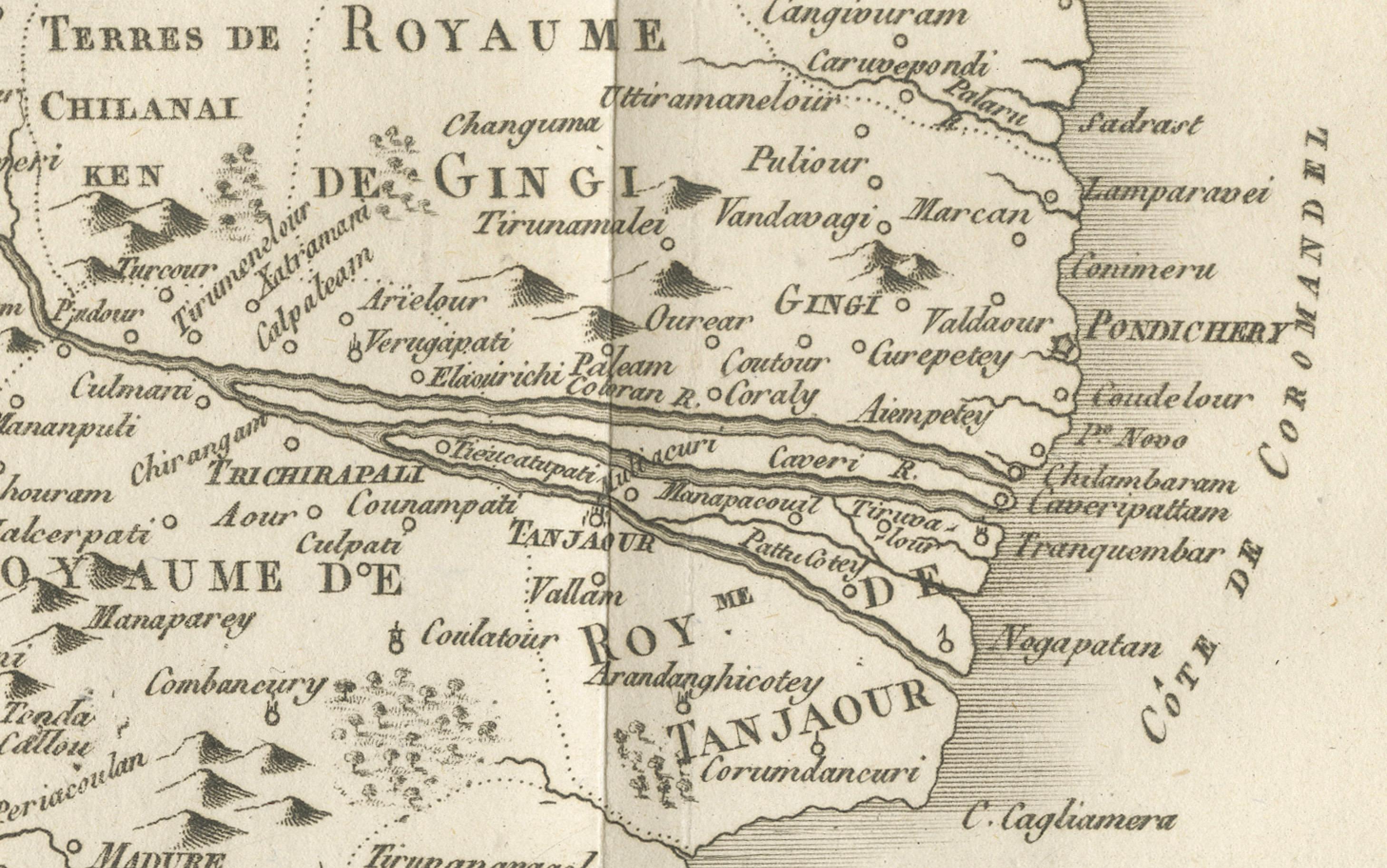
This 18th-century copperplate map, titled Carte des Missions du P.P. de la Compagnie de Jésus dans le Maduré et les Royaumes circonvoisins, depicts southern India and parts of Sri Lanka, showing the extent of Jesuit missionary activity in the region. The map covers the Malabar Coast along the Arabian Sea (Mer des Indes) and extends eastward to the Coromandel Coast, including key inland territories such as the Royaume de Carnate, Royaume de Gingi, and Royaume de Tanjaour.
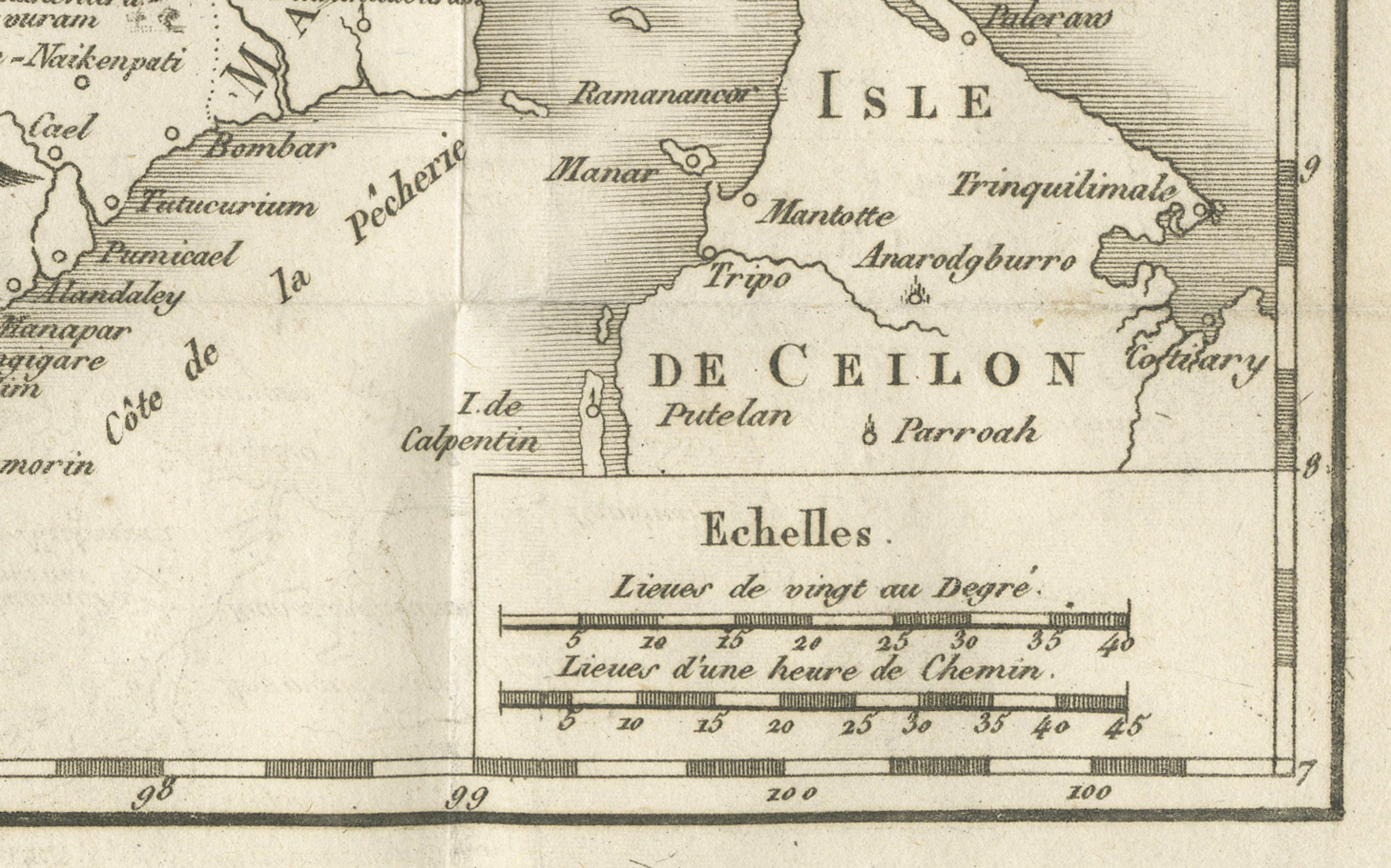
The map highlights important locations in Jesuit history, including Maduré (Madurai), the center of the Madurai Mission established in the early 17th century by Roberto de Nobili, whose approach sought to integrate aspects of Indian culture into Christian teaching. Mountain ranges are depicted pictorially, while rivers, coastal towns, and key ports such as Nagapattinam, Cuddalore, and Pondicherry are marked. The Isle de Ceilon (Sri Lanka) is partially shown, with notable ports and towns labeled.
The map’s focus on missionary geography rather than purely political boundaries reflects the Jesuit interest in documenting their areas of influence and activity. This was part of a broader trend in 18th-century missionary cartography, where geographic knowledge was intertwined with evangelization efforts and reports sent back to Europe.
Engraved in the French style, the plate features a decorative title cartouche in the lower left and a double scale bar showing distances in both “lieues de vingt au degré” and “lieues d’une heure de chemin.” The presence of “Tome 7” in the upper right indicates its place within a larger travel or missionary history series.
Condition: Very good for age, with central folds as issued. Slight toning and minor handling marks in margins. Strong plate impression with crisp linework and clear lettering.
Framing tips: A dark or walnut-stained frame with a cream mount will enhance the engraved detail and period character. For thematic display, this map pairs well with other Jesuit-related or missionary maps of Asia.
Technique: Copperplate engraving Maker: French school, c.1760