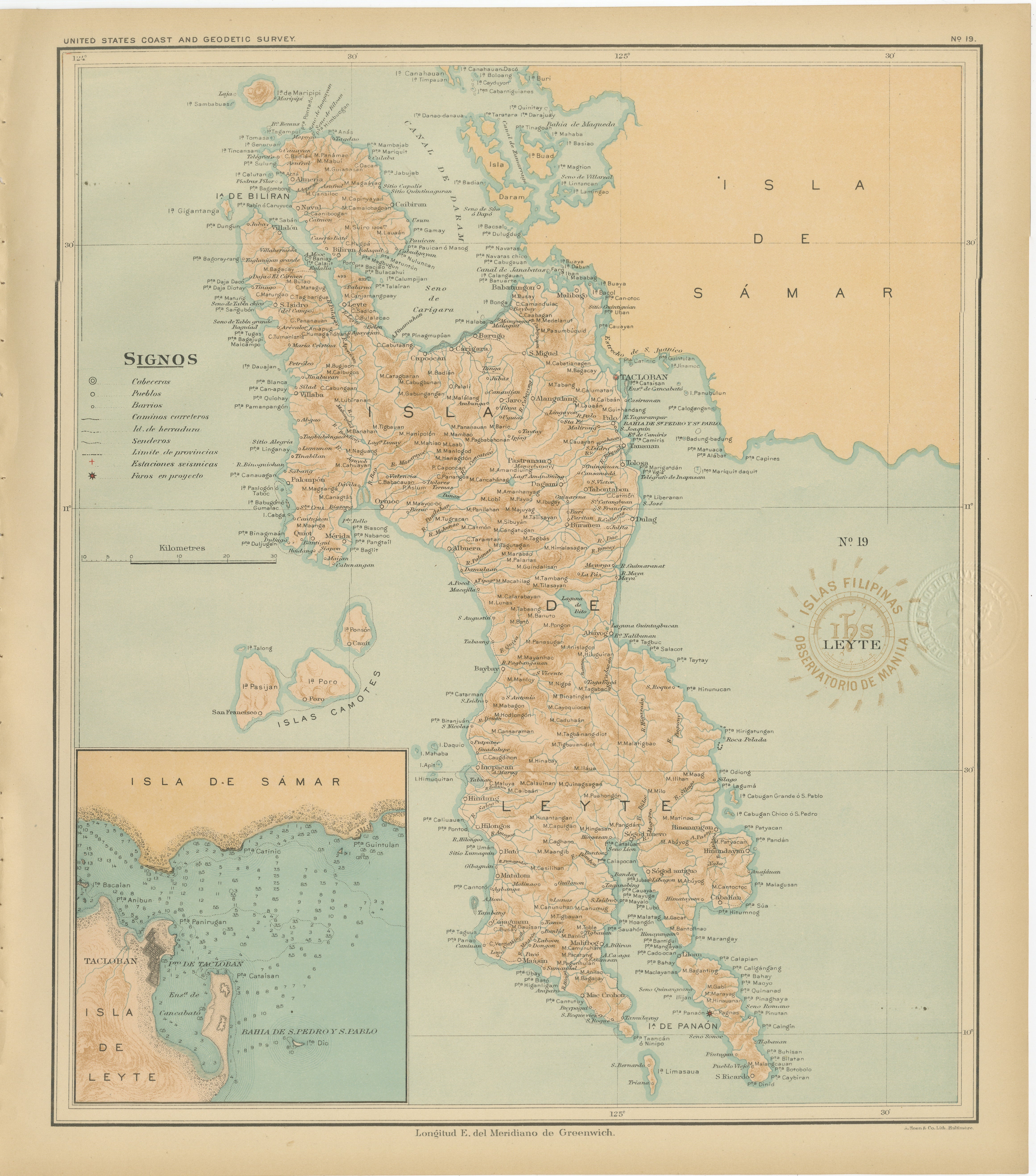
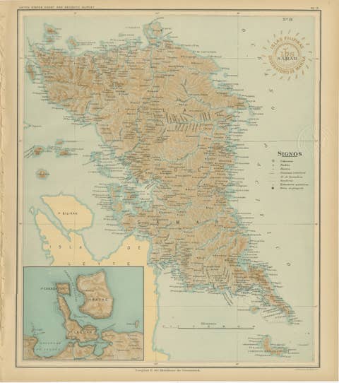
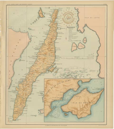
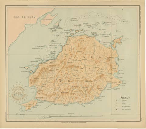
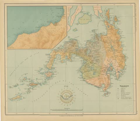
Map of the Island of Leyte – Observatorio de Manila, 1899
€ 440
Original antique · The actual sheet photographed · Certificate of authenticity on request · Sold unframed · Worldwide shipping from € 15 (rates)
Date
1899
Mapmaker / artist
Rev. José Algué, S.J., Observatorio de Manila, 1899
Technique
Chromolithograph on paper
Sheet size
37 × 32.5 cm (14.6 × 12.8 in)
Condition
Excellent
Reference
BG-12176-19
What the condition grades mean
Excellent
Bright and clean, with no faults worth mentioning.
Very good
Only light signs of age, such as faint toning.
Good
Normal signs of age for a sheet of this period: toning, some foxing, small marks or neat old repairs.
Fair
Clear faults such as staining, tears or repairs, priced to match.
Every fault we see is written in the condition note, and the whole sheet is shown uncropped in the photos.
Condition
With bright original color, clean margins, and light toning consistent with age. Embossed and inked institutional seals remain crisp and fully legible.
About this sheet
This beautifully detailed chromolithographed map titled “Islas Filipinas – Isla de Leyte” was created under the supervision of Rev. José Algué, S.J., Director of the Observatorio de Manila, and published in 1899 as Plate No. 19 from the Atlas de Filipinas. It depicts the island of Leyte in remarkable topographical and hydrographic detail, along with adjacent islands including Biliran, the Camotes group, and parts of Samar to the north and east.
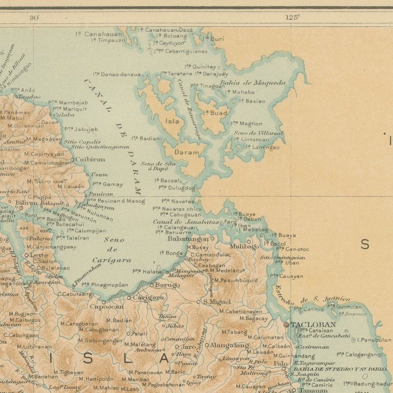
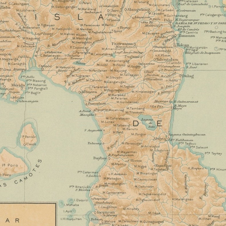
The map’s composition reflects the hallmark precision of the Jesuit Observatory’s cartography, combining scientific clarity with visual elegance. Brown-shaded relief illustrates the mountainous interior of Leyte, while river systems, towns, and coastal settlements are finely labeled in black. The surrounding seas are rendered in soft aqua tones, accentuating the island’s intricate coastline and maritime geography.
An inset at the lower left offers a close-up view of the channel between Samar and Leyte, focusing on Tacloban Bay and the Strait of San Juanico, famous today for its bridge linking the two islands. The map’s legend (“Signos”) identifies administrative centers, towns, barrios, and planned meteorological stations, all part of the Jesuits’ early efforts to combine geography with meteorology and seismology.
Stamped with the circular insignia of the “Observatorio de Manila” and embossed with the seal of the “U.S. Coast and Geodetic Survey,” this plate formed part of the 1900 Atlas of the Philippine Islands, published by the U.S. Government Printing Office in Washington. Originally drawn by native Filipino draftsmen under Jesuit direction, this work bridges Spanish colonial science and early American administrative mapping, offering one of the most accurate late-19th-century depictions of Leyte and its surrounding islands.
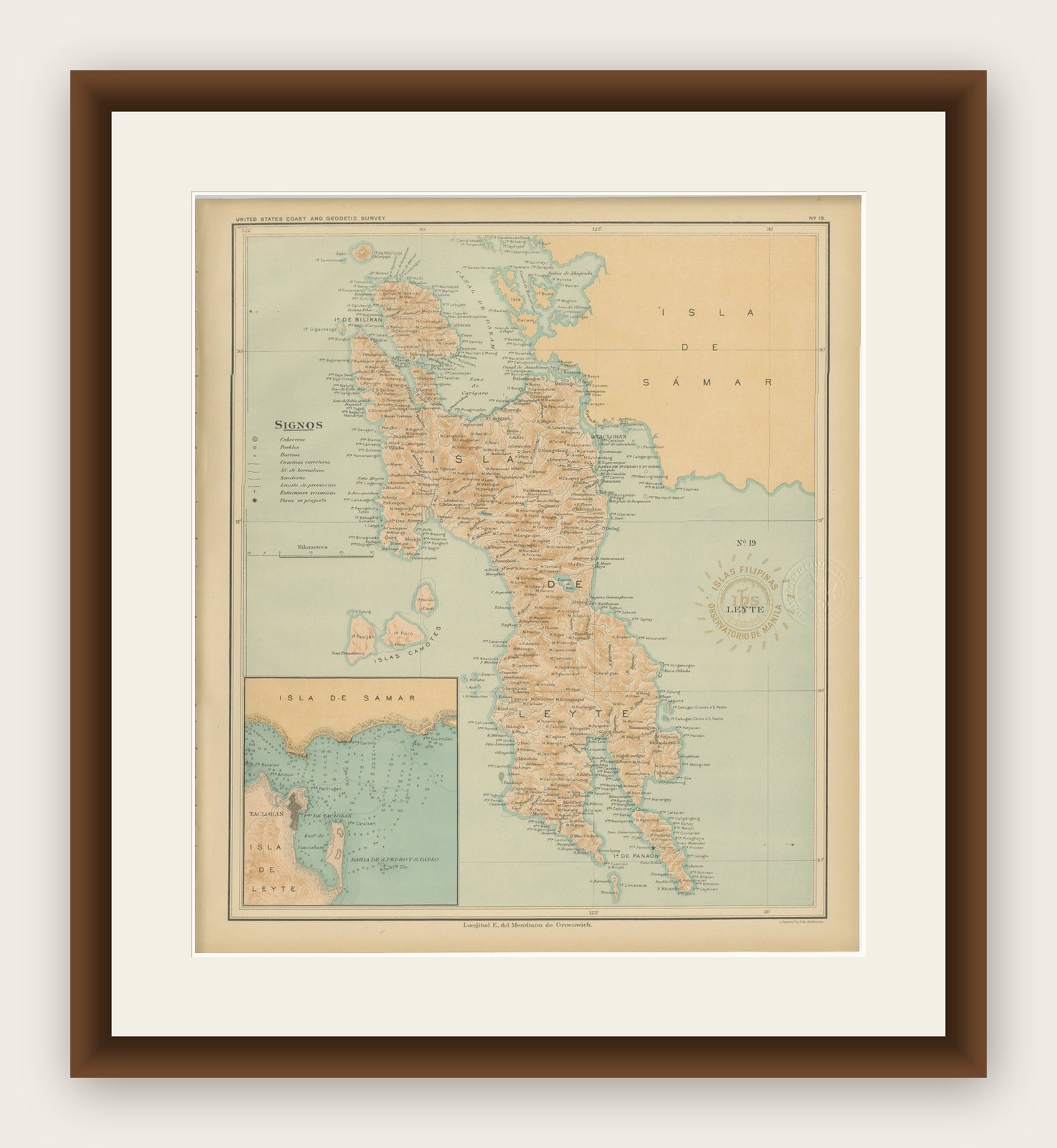
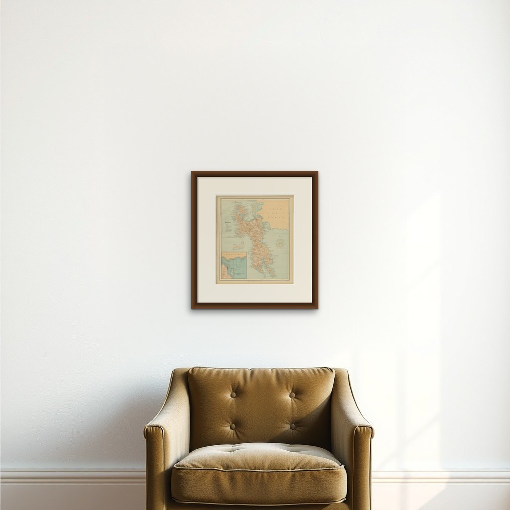
Framing tips: A teak or walnut frame paired with a cream or pale blue mat complements the chart’s warm earth tones and maritime hues, making it a striking centerpiece for an office, study, or maritime collection.