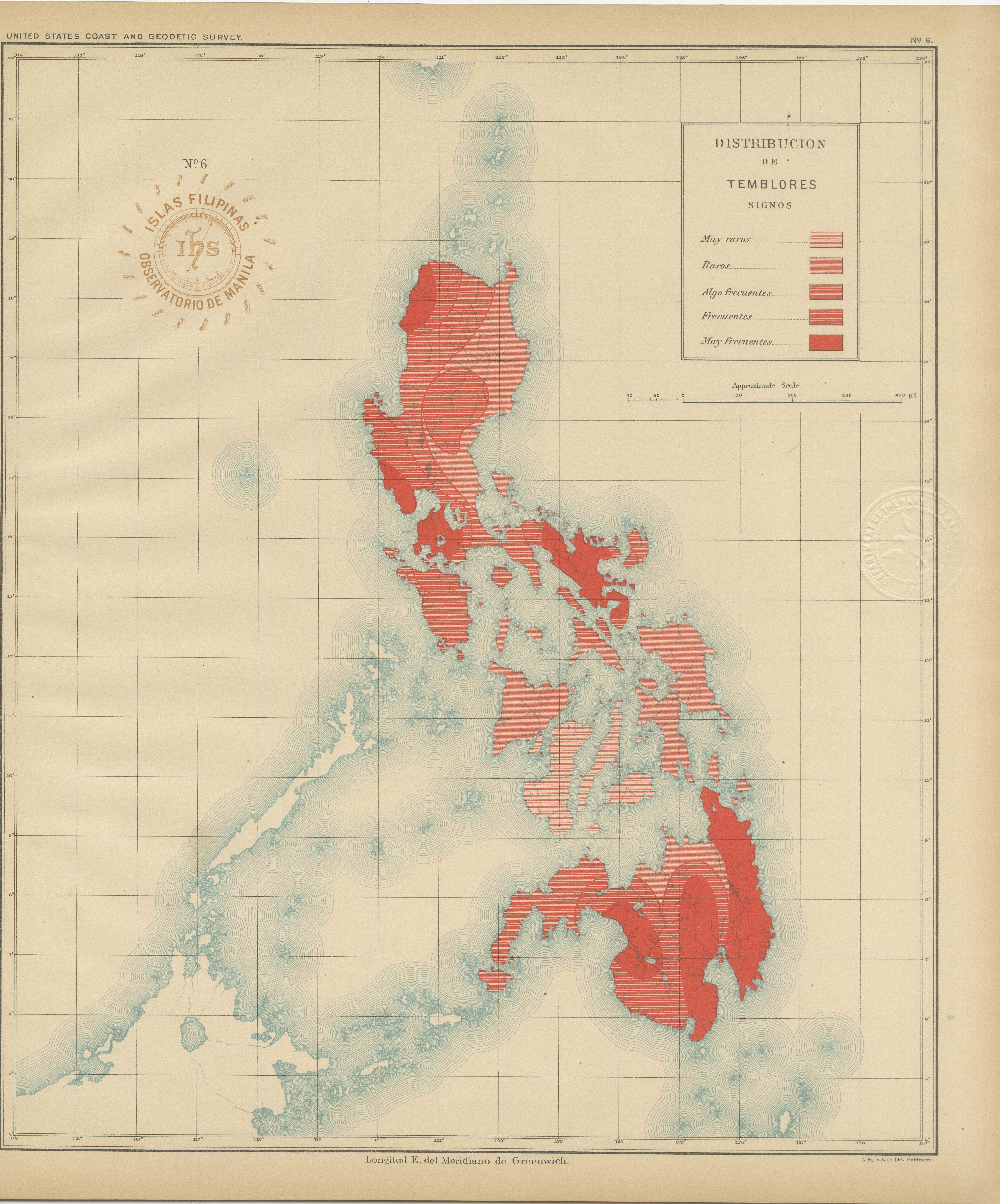
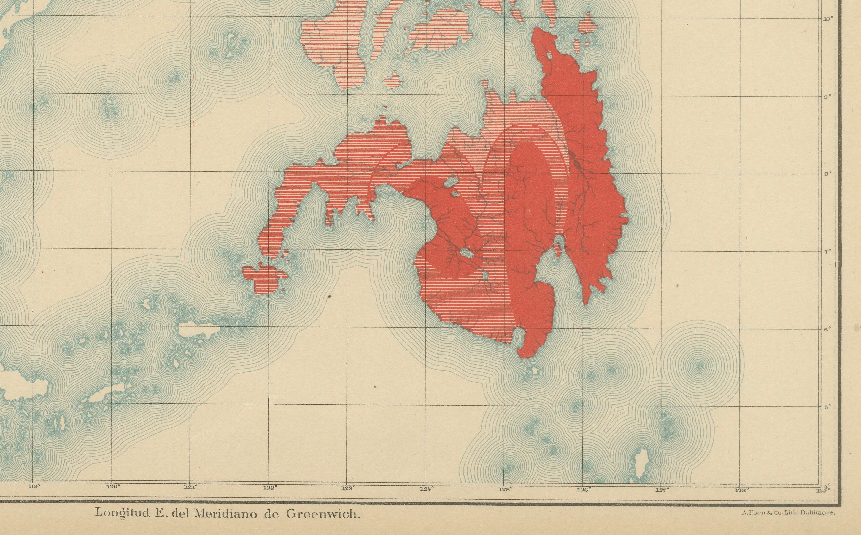
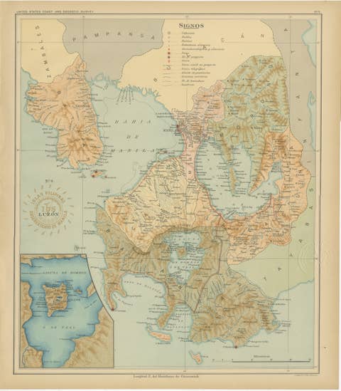
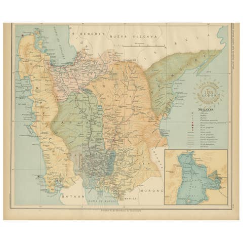
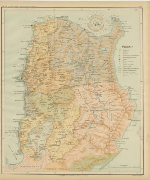
Seismic Activity Map of the Philippine Islands – Observatorio de Manila, 1899
€ 440
One of a kind: this is the sheet in the photographs. Ships from Langweer, the Netherlands.
Date
1899
Sheet size
37 × 32.5 cm (14.6 × 12.8 in)
Condition
Excellent
Reference
BG-12176-6
Condition
with original color, light toning to margins, and visible embossed and inked institutional seals.
About this sheet
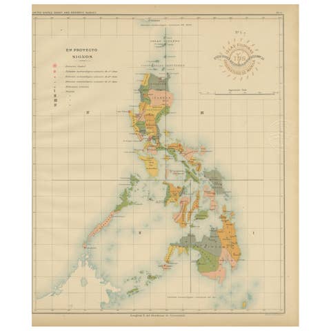
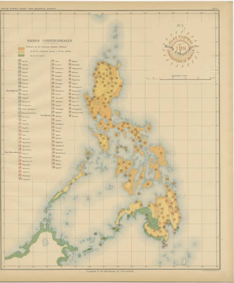
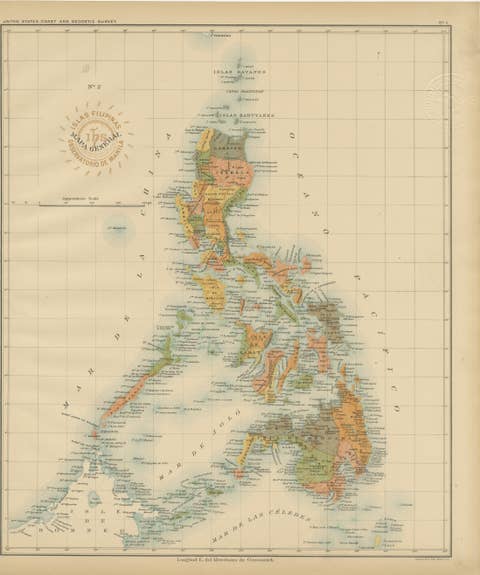
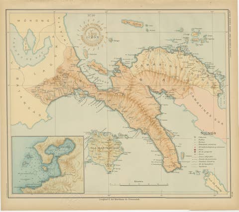
This striking chromolithograph titled “Distribución de los Temblores” (Distribution of Earthquakes) was created in 1899 under the direction of Rev. José Algué, S.J., Director of the Observatorio de Manila. Published as Plate No. 6 in the Atlas de Filipinas, this scientific map represents one of the earliest visual analyses of seismic activity in the Philippines, a region known for its intense tectonic movement.
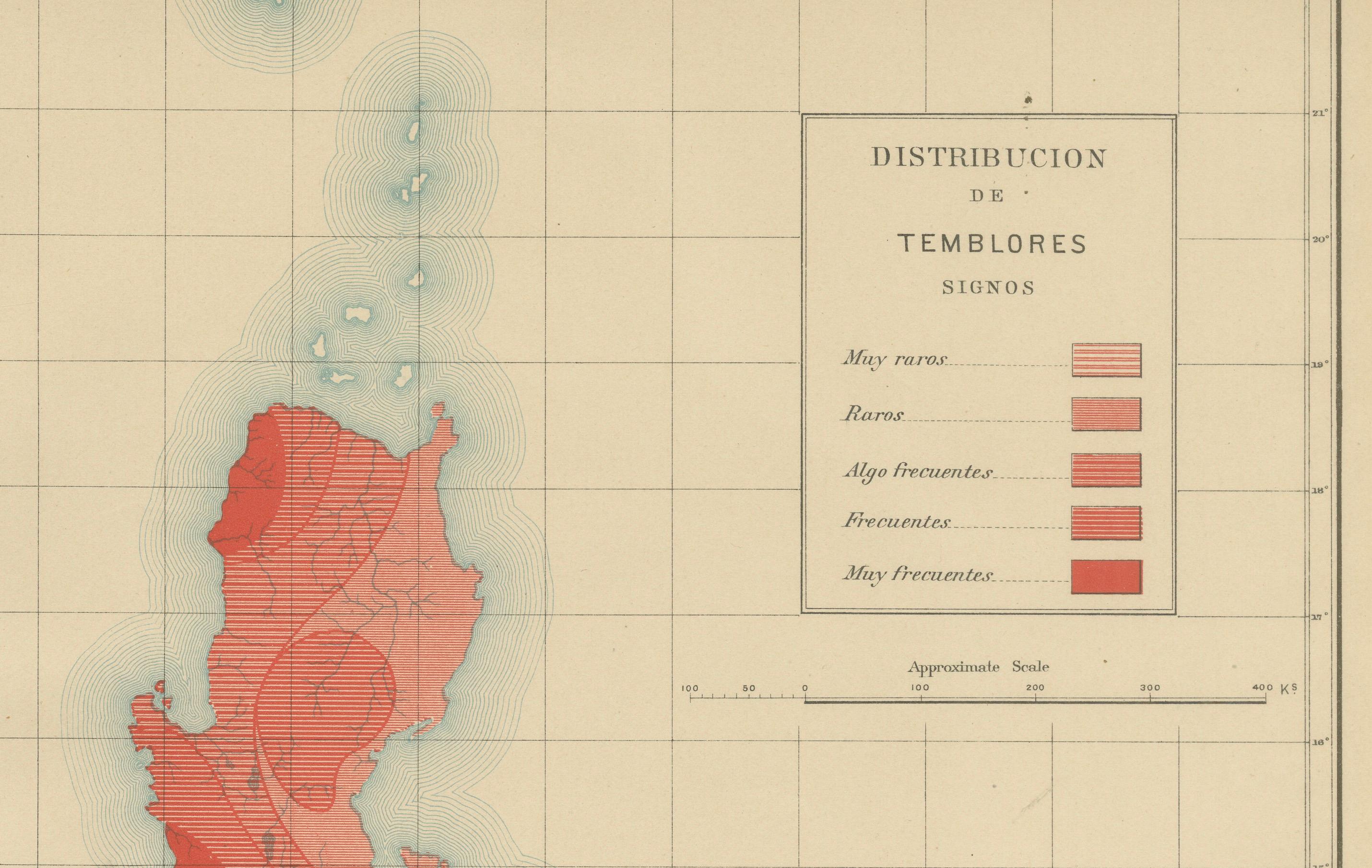
The map illustrates the frequency of earthquakes across the archipelago through a color-coded key shown in the legend titled “Signos.” Areas shaded in deeper red indicate regions where tremors are “Muy Frecuentes” (very frequent), while lighter tones represent zones where earthquakes are “Raras” (rare) or “Muy Raras” (very rare). The highest seismic concentration is shown in northern Luzon and central to southern Mindanao, corresponding to the tectonic fault lines and volcanic belts that still define Philippine geology today.
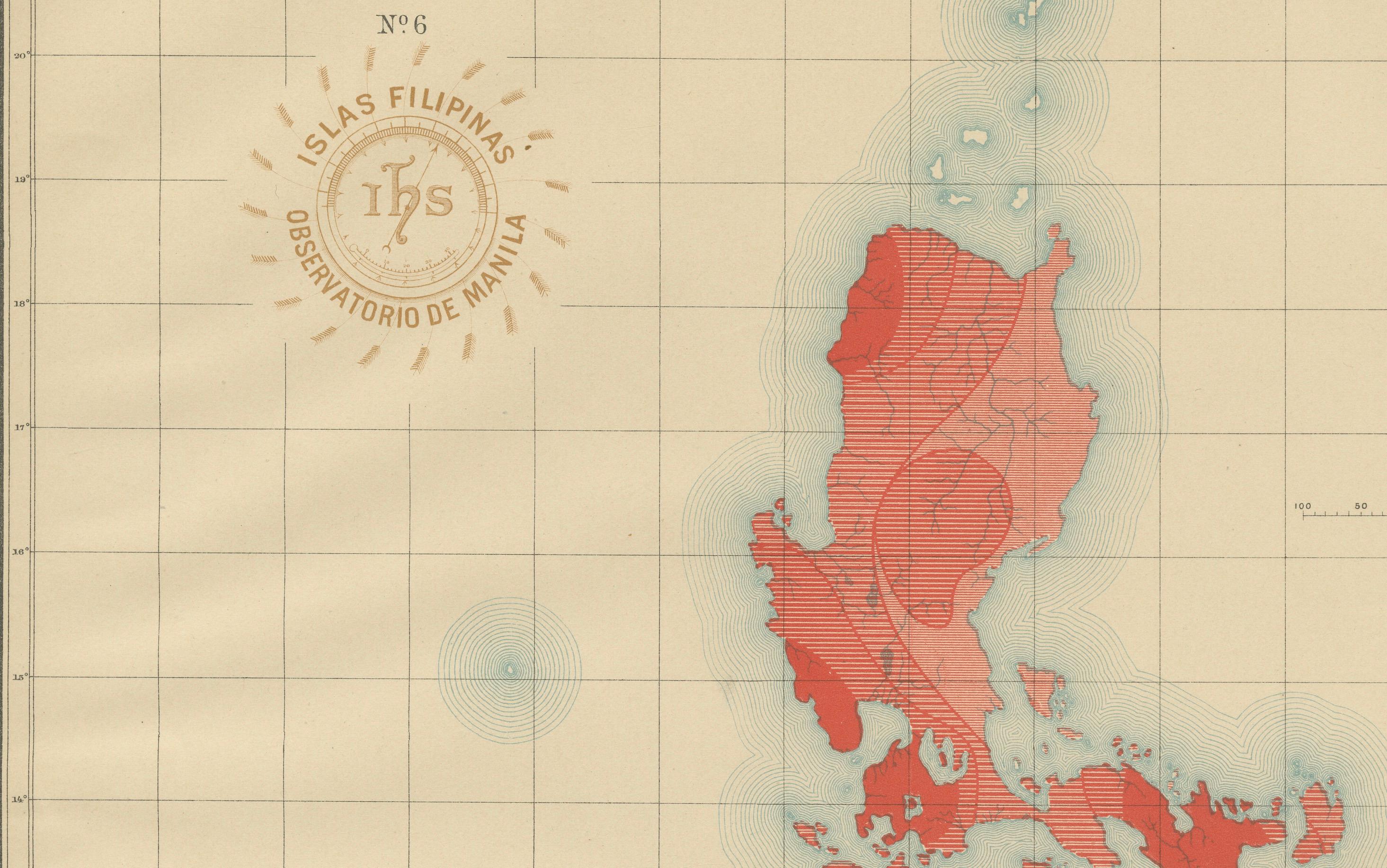
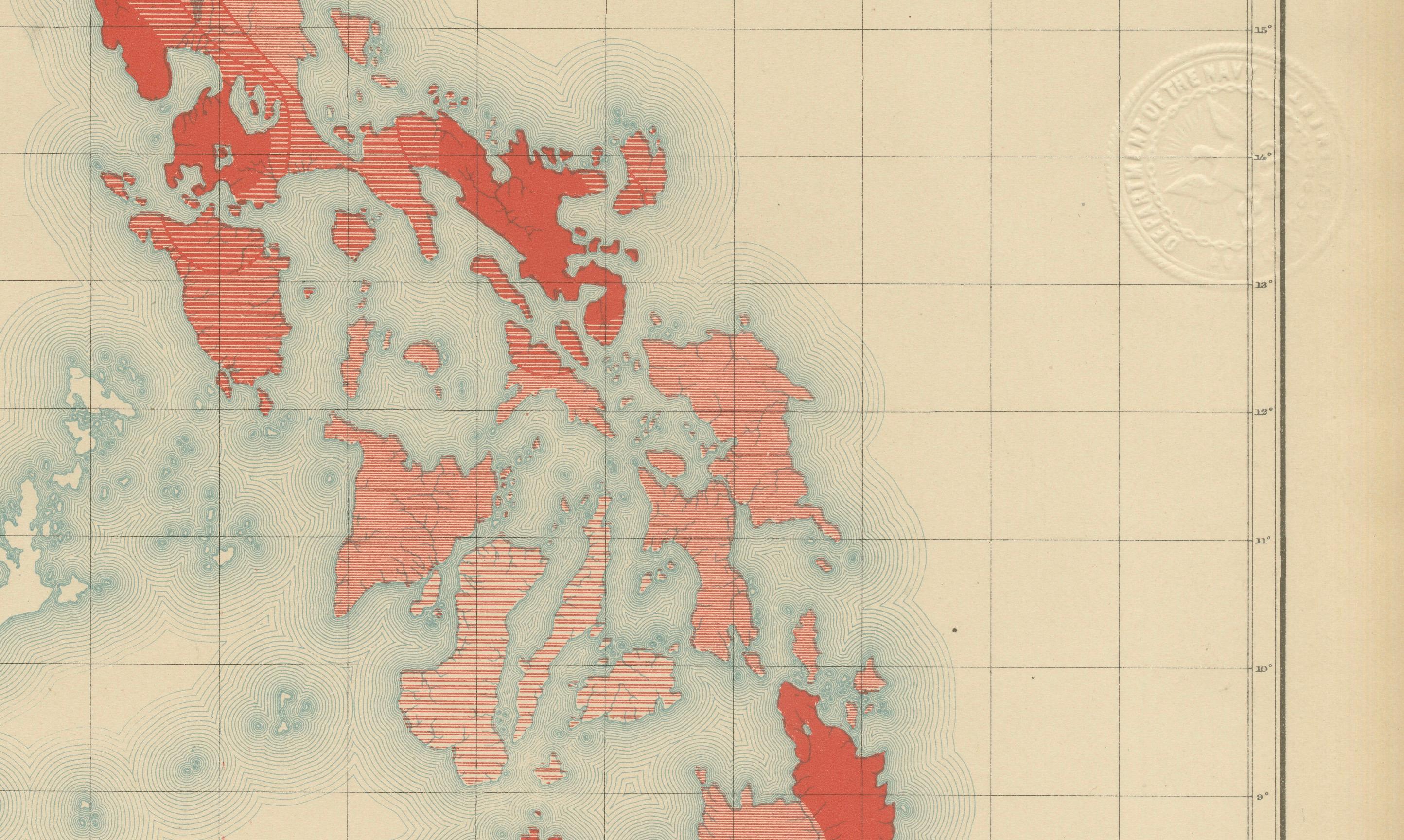
This pioneering work was part of a comprehensive scientific effort by the Jesuit-led Observatorio de Manila, one of Asia’s most advanced meteorological and seismological centers at the time. The atlas was prepared by skilled Filipino draftsmen under Jesuit supervision and later reproduced by the U.S. Coast and Geodetic Survey in Washington in 1900. The map bears both the red circular stamp of the “Observatorio de Manila” and the embossed seal of the “U.S. Coast and Geodetic Survey,” marking it as an official publication of both institutions.
Beyond its scientific importance, this map serves as an extraordinary historical record of late 19th-century earth science in Southeast Asia. It captures the early understanding of seismic zones long before the establishment of modern plate tectonic theory and remains a foundational piece in the history of Philippine cartography and seismology.
Condition: Excellent, with original color, light toning to margins, and visible embossed and inked institutional seals.
Framing tips: Ideal in a dark wood or black frame with a neutral ivory mat to contrast the vivid red seismic zones and highlight its scientific character.
Technique: Chromolithograph on paper Maker: Rev. José Algué, S.J., Observatorio de Manila, 1899