Antique Map of Andalusia Spain – Hand-Colored Tassin Engraving 1651
€ 440
Original antique · The actual sheet photographed · Certificate of authenticity on request · Sold unframed · Worldwide shipping from € 15 (rates)
Date
1651
Sheet size
15 × 19.6 cm (5.9 × 7.7 in)
Condition
Good
Reference
Bg-14106-1
What the condition grades mean
Excellent
Bright and clean, with no faults worth mentioning.
Very good
Only light signs of age, such as faint toning.
Good
Normal signs of age for a sheet of this period: toning, some foxing, small marks or neat old repairs.
Fair
Clear faults such as staining, tears or repairs, priced to match.
Every fault we see is written in the condition note, and the whole sheet is shown uncropped in the photos.
Condition
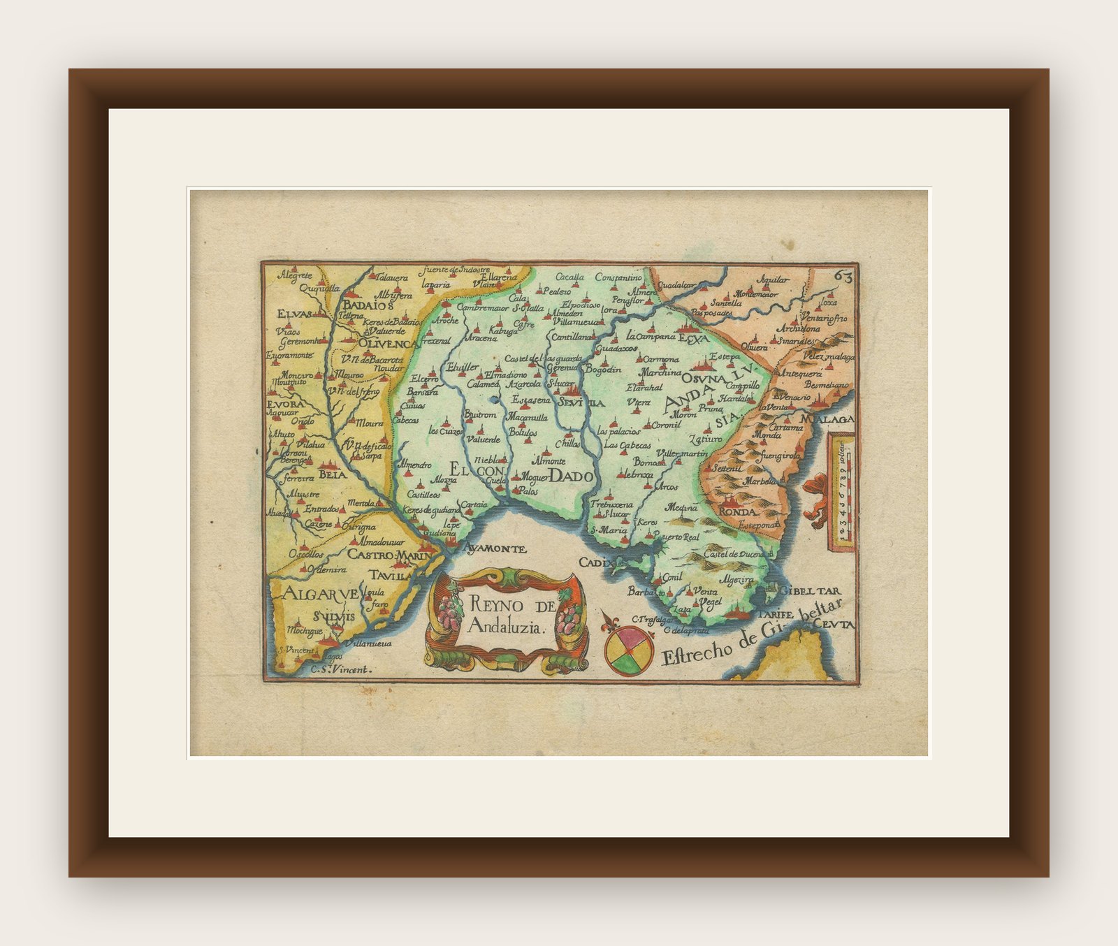
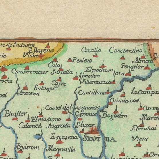
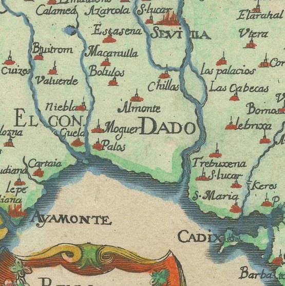
Condition summary: Very good condition for its age, with strong impressions and vibrant original hand coloring. Minor age toning is visible in the margins with some faint scattered spotting, but the image itself remains clean and crisp.
About this sheet
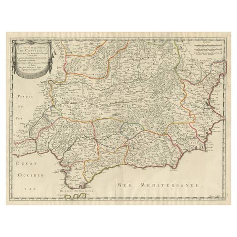
Antique Map of Andalusia Spain – Hand-Colored Tassin Engraving 1651
This fine hand-colored engraved map shows the historic kingdom of Andalusia in southern Spain, created by Nicolas Tassin and published by Nicolas Berey in 1651 in the atlas ‘Cartes Generales des Provinces de France et d’Espagne’. The map is titled ‘Reyno de Andaluzia’ and features a beautifully ornate title cartouche and a delicate coat of arms design in the lower section. Towns, rivers, and regional borders are meticulously engraved, including Sevilla, Malaga, Ronda, Cadiz, and Gibraltar, alongside parts of Portugal such as Algarve and Olivenca.
Nicolas Tassin was an esteemed 17th-century French cartographer known for his precisely engraved provincial maps, valued for their decorative yet informative character. The technique used here is copperplate engraving, printed on hand-laid paper and enhanced with rich contemporary hand coloring. This method ensured extremely fine line work and durability over centuries. The colors used highlight regional divisions and enhance its visual appeal, making it not only a historical document but also a decorative art piece.
Collectors and interior designers favor Tassin’s maps for their historical accuracy combined with attractive baroque-style ornamentation. They provide an authentic glimpse into 17th-century geographical knowledge and territorial boundaries, ideal for classic study rooms, libraries, or elegant living spaces.
Condition summary: The map is in very good condition for its age, with strong impressions and vibrant original hand coloring. Minor age toning is visible in the margins with some faint scattered spotting, but the image itself remains clean and crisp. Edges are slightly browned, typical of antique maps, with no tears or major flaws.
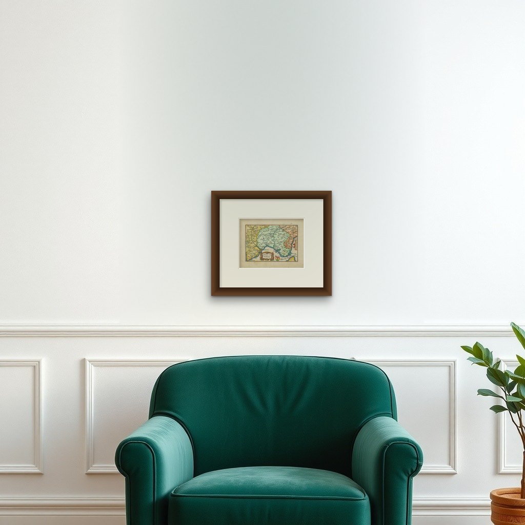
Framing tips: For best presentation, use a dark wood or gilt frame with a neutral cream or lightly textured off-white mount board to emphasize the vivid colors without distraction. Museum-grade UV-protective glass is recommended to preserve the pigments and paper quality over time.
This is a rare opportunity to acquire an authentic 17th-century map by Nicolas Tassin, an elegant addition to any serious map collection or classic European-themed interior.