Antique Maps of Europe
2,956 original sheets
Western Europe 1908Northern Europe 146Central Europe 88Eastern Europe 102South-East Europe 135Southern Europe 275Europe as a Whole 169
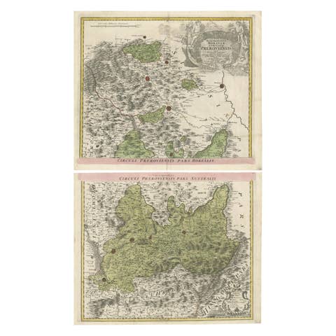
Set of 2 Antique Maps covering part of modern-day Czech Republic
€ 990
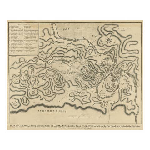
Antique Plan of the Siege of the Castle of Cardona in 1714
1714 · € 340

Antique Plan of the Fortifications of Lleida, Spain
€ 440
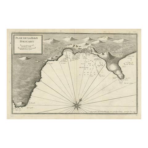
Antique Plan of Alicante Bay, Spain
€ 540
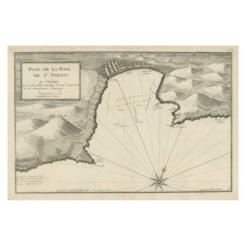
Large Antique Plan of St. Philiou Bay or Sant Feliu Catalonia Spain, circa 1746
1746 · € 540

Antique Engraved Map with Original Hand Color of French Guiana, 1876
1876 · € 280

Authentique Map by Pilon of The French Colonies in The West Indies, 1876
1876 · € 240

Martinique Island in the Caribbean by Bellin Original Original Antique Map, 1780
1780 · € 236
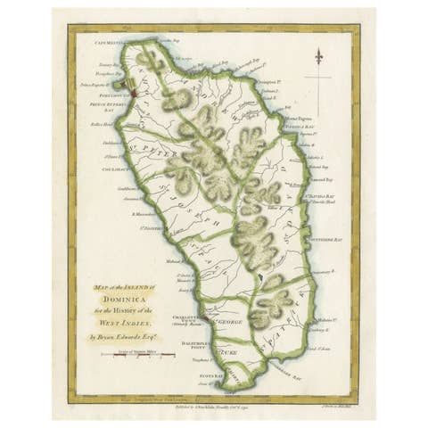
Original Antique Map of the Island of Dominica in the West Indies, 1794
1794 · € 240
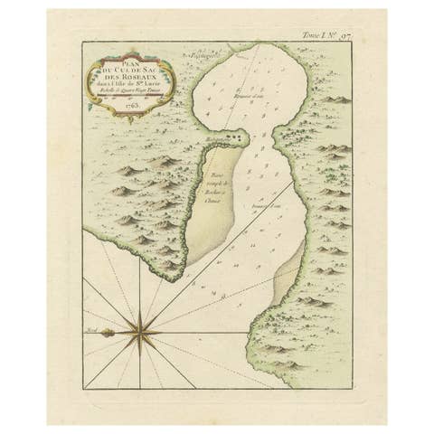
Roseaux, St. Lucia Island Map by Bellin, Handcolored Engraving, 1763
1763 · € 244
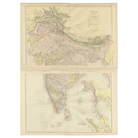
Cartographic Elegance: The British Raj's India, 1882 Atlas by Blackie and Son
1882 · € 340

Imperial Frontiers: A 19th Century Map of Southern Russia and the Caucasus, 1882
1882 · € 270
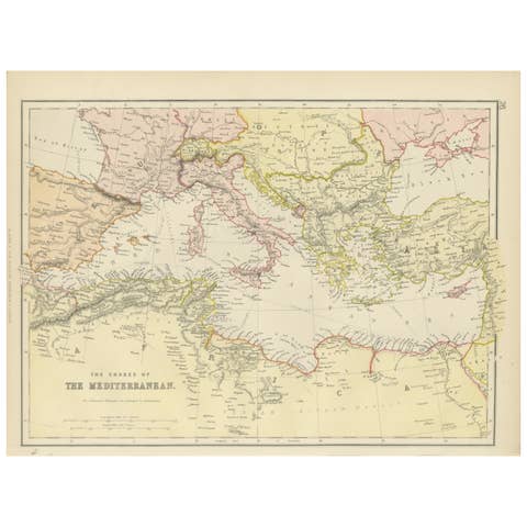
19th Century Antique Map of Mediterranean Shores by Blackie & Son
€ 280
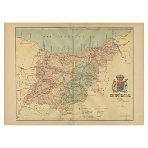
Gipuzkoa 1902: A Cartographic Snapshot of the Basque Coastline and Highlands
1902 · € 360
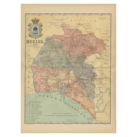
Huelva 1901: A Cartographic Presentation of Andalusia's Atlantic Frontier
1901 · € 360
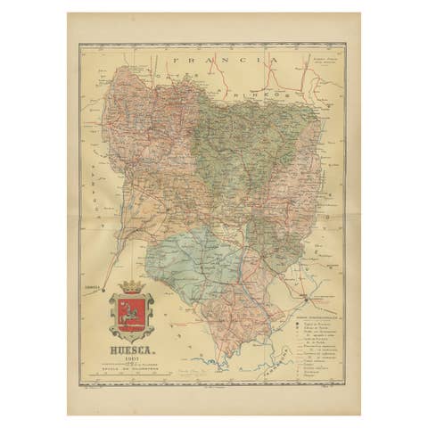
Huesca 1901: A Geographic Overview of Aragon's Northern Frontier in Spain
1901 · € 320
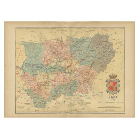
Jaén 1902: A Cartographic Depiction of Andalusia's Olive Heartland
1902 · € 290

León 1903: A Cartographic Detailing of Castilla y León's Mountainous Province
1903 · € 290
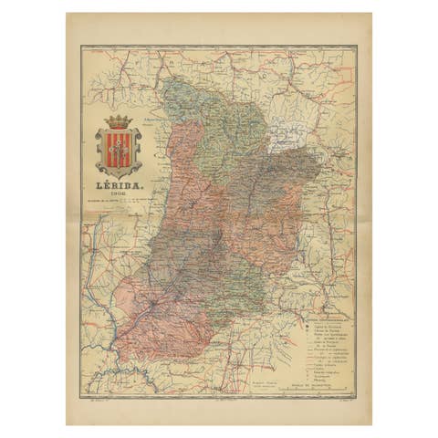
Lleida 1902: A Cartographic Perspective of Catalonia's Gateway to the Pyrenees
1902 · € 300
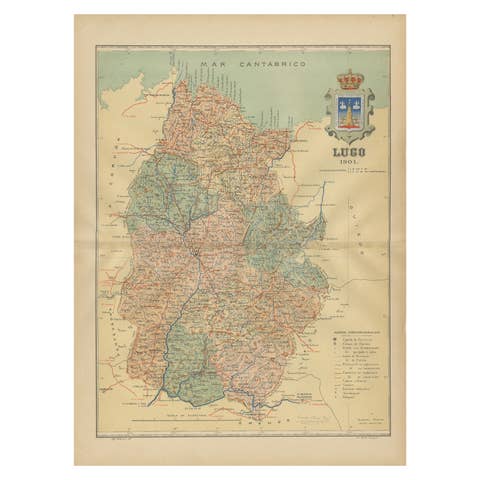
Lugo 1901: A Cartographic Chronicle of Galicia's Ancient Roman Walled City
1901 · € 310
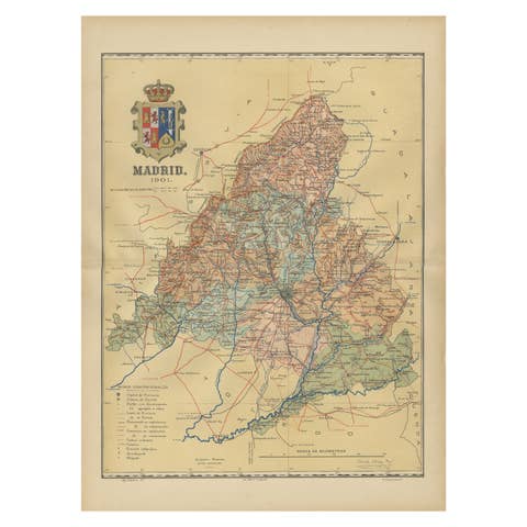
Madrid 1901: A Historical Map of Spain's Capital Province
1901 · € 690
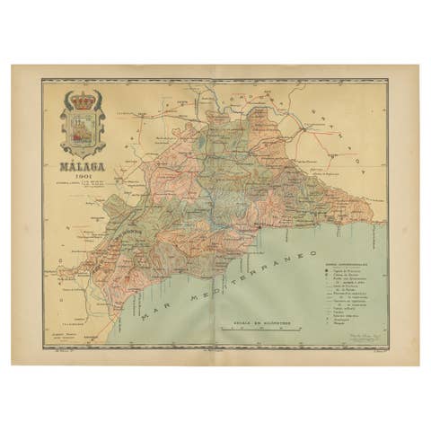
Málaga 1901: A Cartographic Detailing of Andalusia's Coastal Jewel
1901 · € 340
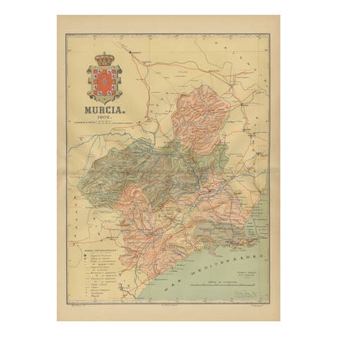
1902 Murcia: A Cartographic Snapshot of Spain's Southeastern Province
1902 · € 340
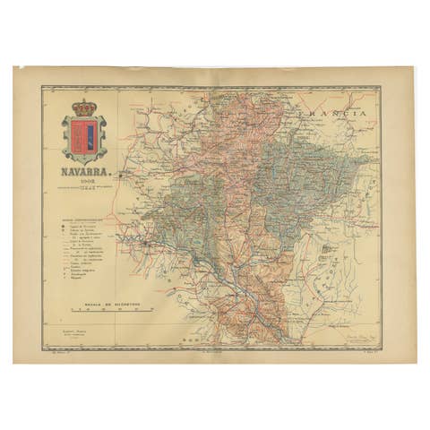
Navarra in Cartographic Detail: A 1902 Map of the Crossroads of Northern Spain
1902 · € 340
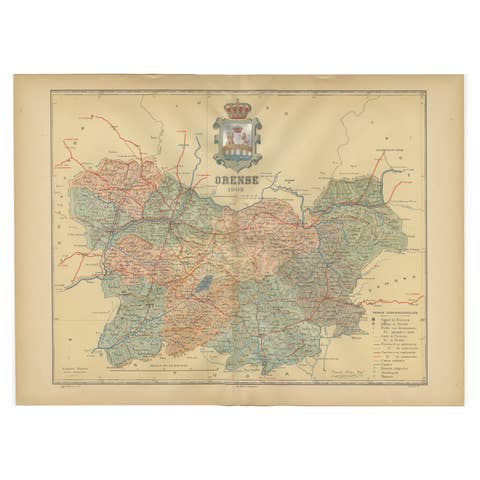
Orense in Depth: A 1902 Topographical Map of Galicia's Mountainous Province
1902 · € 310

The Lay of the Land: A 1901 Topographic Map of Oviedo, Asturias
1901 · € 390
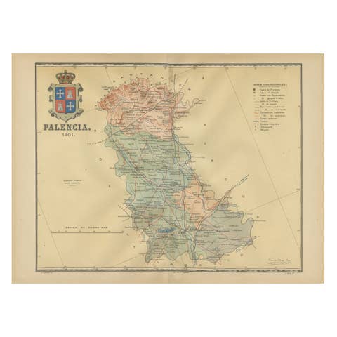
Original Antique Map of Palencia Province, in Northern Spain, 1901
1901 · € 290
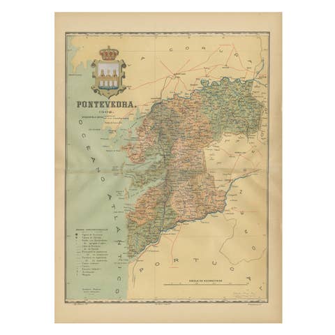
Cartographic Survey of Pontevedra, 1902: Crossroads of Galicia"
1902 · € 320
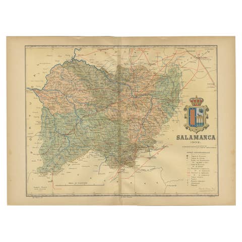
1902 Cartographic View of Salamanca: The Golden Province of Spain
1902 · € 340
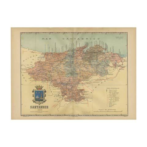
Maritime and Terrestrial Survey of Spanish Santander in 1901, An Original Map
1901 · € 290
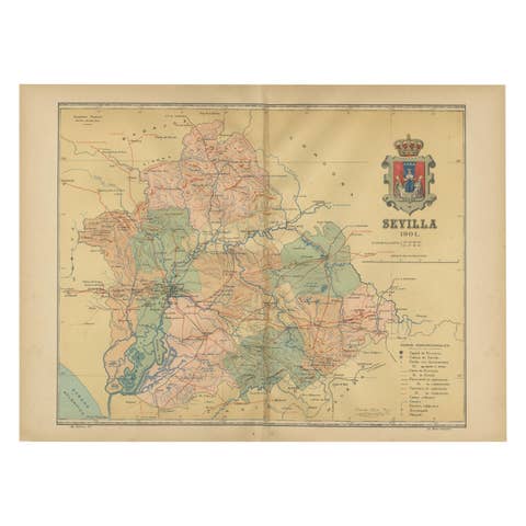
Map of Sevilla Province, 1901: A Depiction of The Spanish Cultural Heartland
1901 · € 320
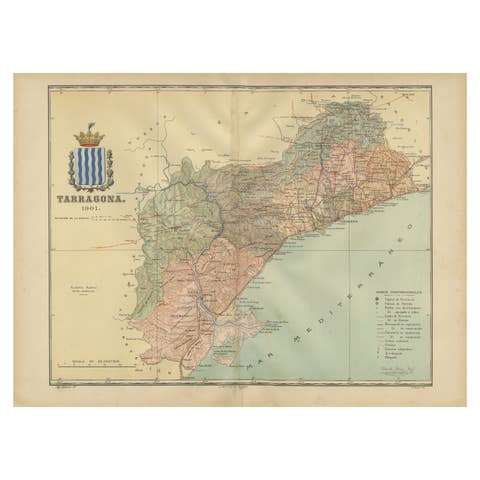
A Catalonian Cartographic Depiction of Tarragona Province, 1901
1901 · € 340
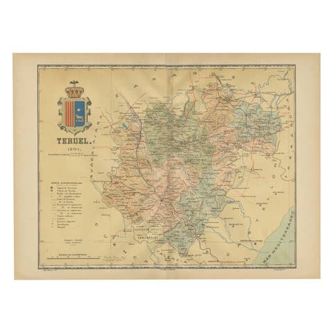
Teruel 1901: A Cartographic Depiction of Heritage and Natural Splendor in Spain
1901 · € 300
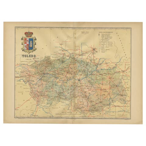
Toledo 1902: A Historical Cartographic Study of this Spanish Province
1902 · € 330
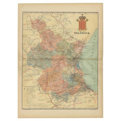
Topographical and Infrastructure Map of the Province of Valencia, 1901
1901 · € 520
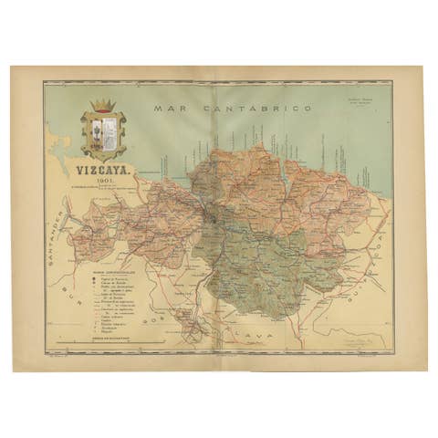
Cartographic Heritage: The 1901 Map of the Vizcaya Province in Spain
1901 · € 320
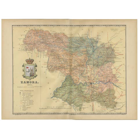
Zamora: A Mosaic of Romanesque Heritage and Natural Wonders in Spain, 1901
1901 · € 320
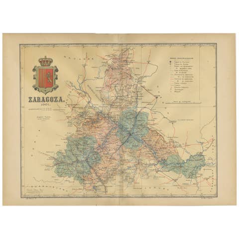
Zaragoza: Crossroads of Heritage - The 1901 Cartographic Chronicle
1901 · € 320
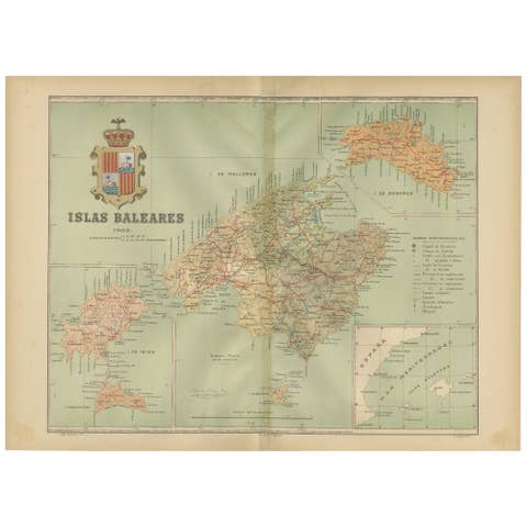
Isles of Enchantment: The Balearic Archipelago in 1902
1902 · € 690
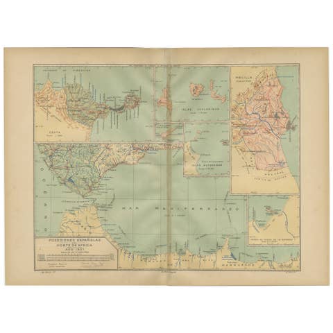
Crossroads of Continents: Spain's North African Enclaves in 1903
1903 · € 400
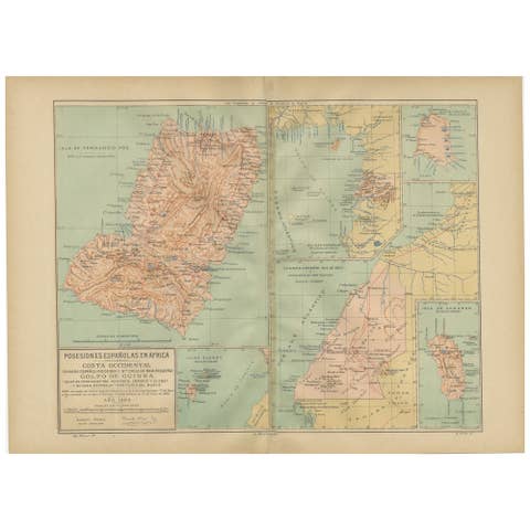
Echoes of Empire: Spanish Territories in West Africa, 1903
1903 · € 400

An Antique Map of Extremadura: Crossroads of History and Nature, 1903
1903 · € 460
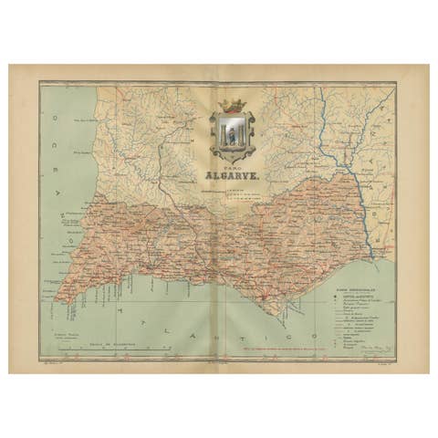
Algarve: A Tapestry of Sea and Sunlight in an Antique Map, 1903
1903 · € 390
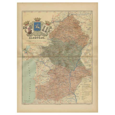
Antique Map of Alentejo: Land of Tradition and Tranquility, 1903
1903 · € 390
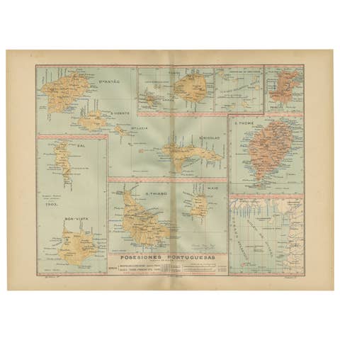
Islands of Diversity: Portugal's Atlantic Archipelagos in 1903
1903 · € 340
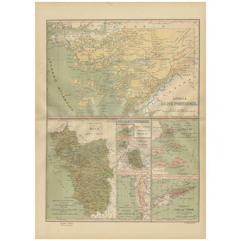
Empire's Tapestry: Mapping Portugal's Global Legacy in 1903
1903 · € 340
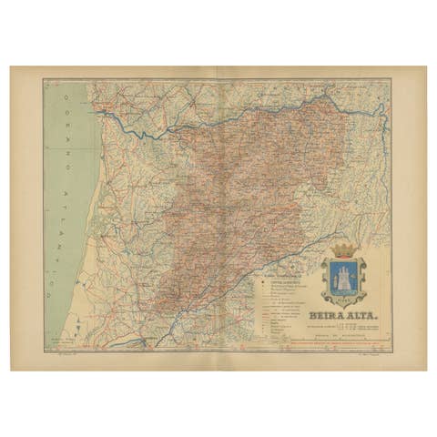
Beira Alta: A Cartographic Journey Through Portugal's Heartland in 1903
1903 · € 290
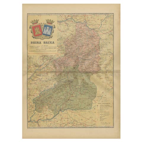
Beira Baixa: A Cartographic Portrait of Portugal's Historic Frontier in 1903
1903 · € 290