About this sheet
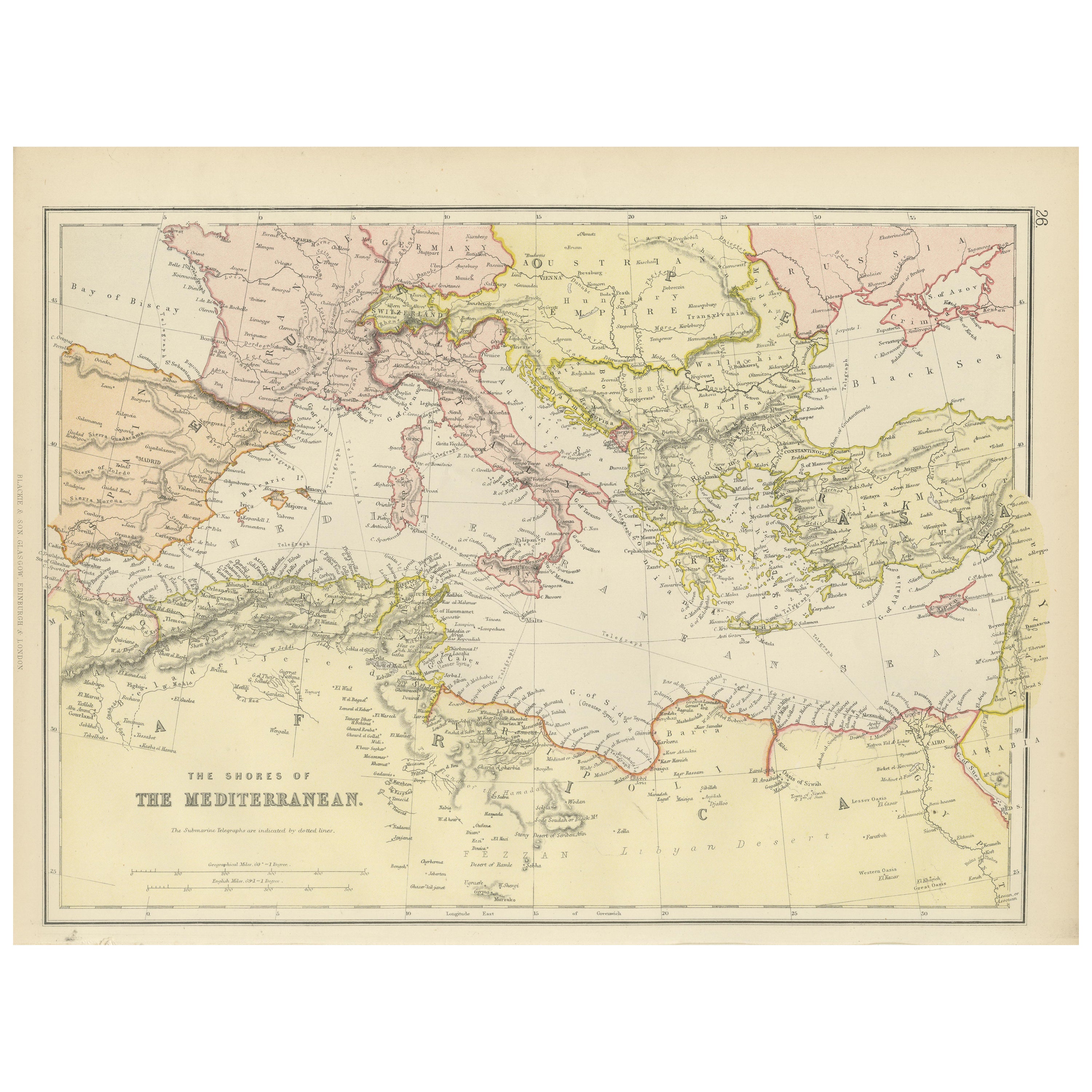
This map, titled "The Shores of the Mediterranean," is part of the 1882 atlas by Blackie & Son, and it portrays the coastal regions that surround the Mediterranean Sea. It is a detailed representation of the diverse and historically rich countries that share the Mediterranean coastline, spanning from the Strait of Gibraltar in the west to the Levantine Sea in the east, and from the southern shores of Europe down to the northern coastlines of Africa.
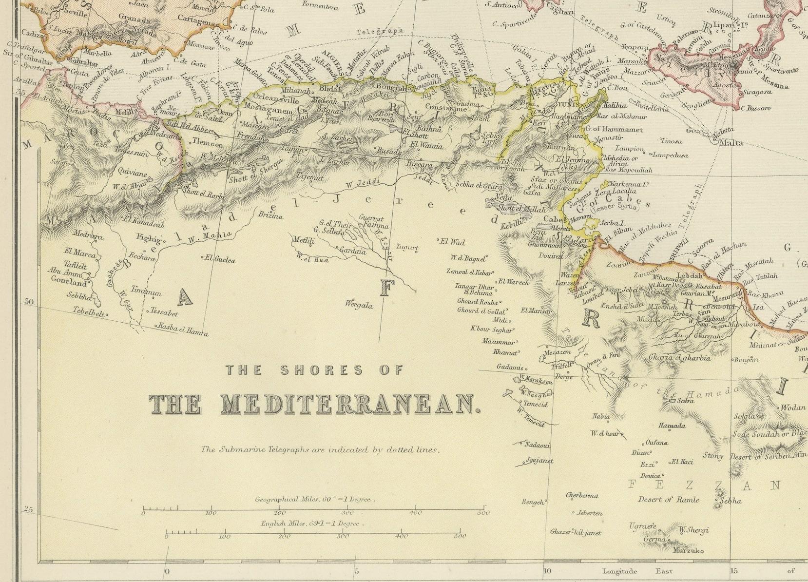
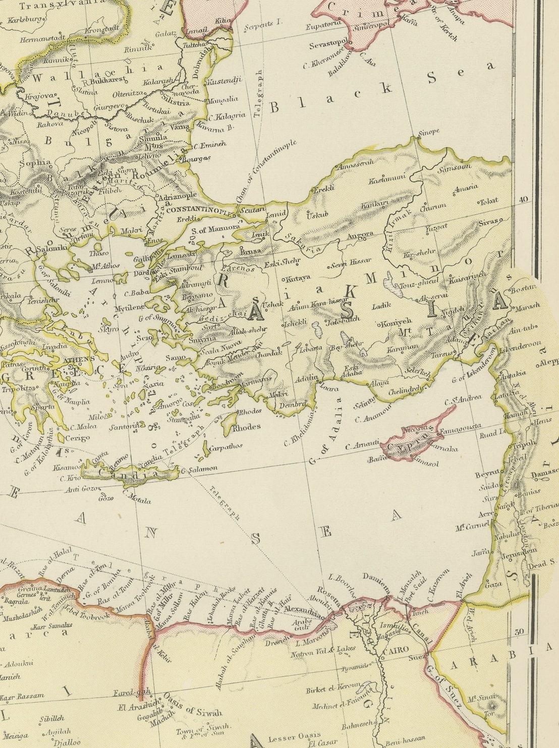
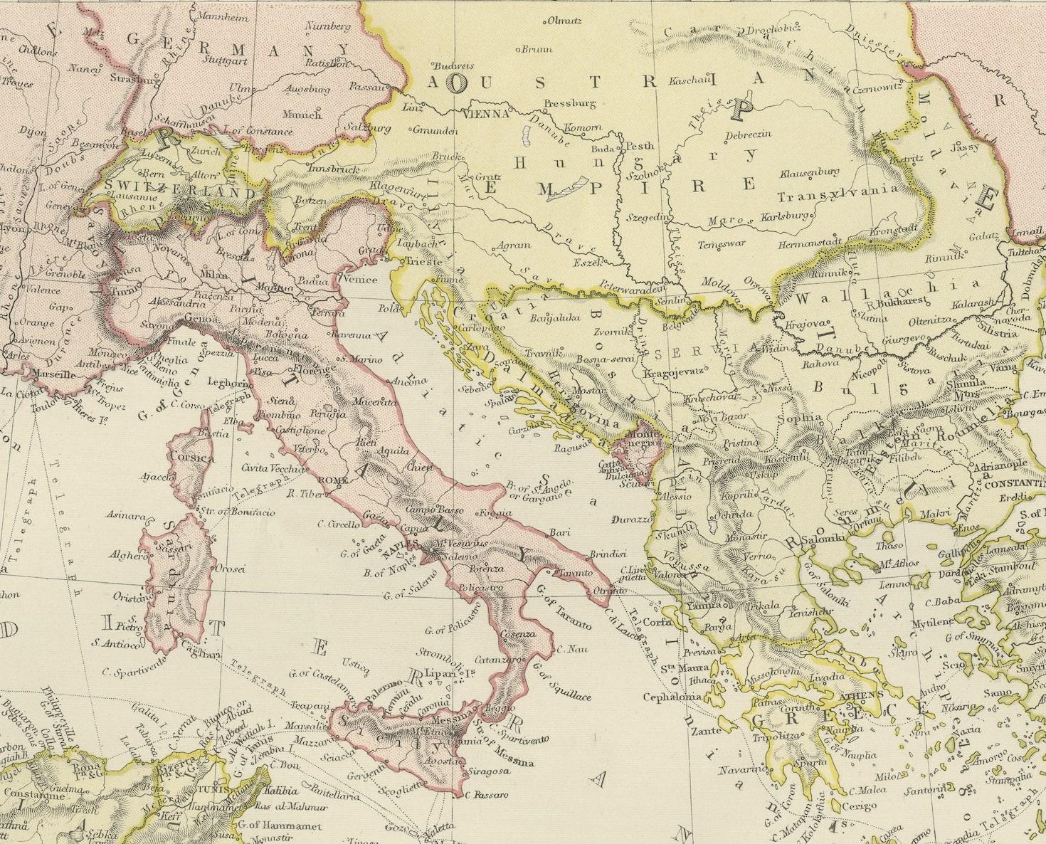
The map is a vivid document of the time, with each country along the Mediterranean basin meticulously outlined. The northern coast includes the southern parts of Europe, featuring Spain, France, Italy, and the Balkan states, extending to the Anatolian peninsula. The southern coast covers the Maghreb countries of North Africa and the Nile delta, proceeding to the Middle East.
Topographical features such as mountain ranges, valleys, and plateaus are carefully delineated, providing a sense of the varied landscapes that contribute to the region's climatic and cultural diversity. The map's coloration is nuanced, with political boundaries highlighted in gentle shades that distinguish each nation while not overpowering the map's geographical details.
Cities and ports are pinpointed, indicative of the Mediterranean's role as a nexus of trade, civilization, and cultural exchange throughout history. Routes and passages are marked, suggesting the lines of maritime navigation that have been central to the region's economic lifeblood.
This map serves not only as a geographical reference but also as a historical snapshot of the Mediterranean region during a period of significant change. It reflects the geopolitical realities prior to the upheavals of the 20th century, capturing an era when the Mediterranean was a border between empires and a bridge linking continents.