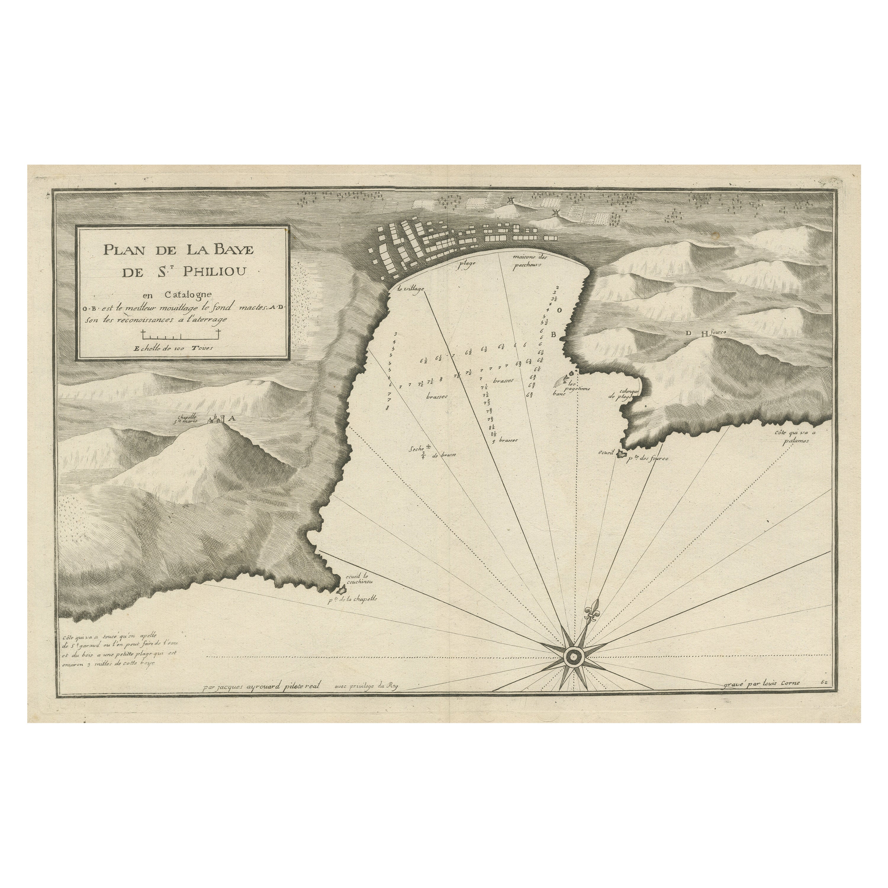
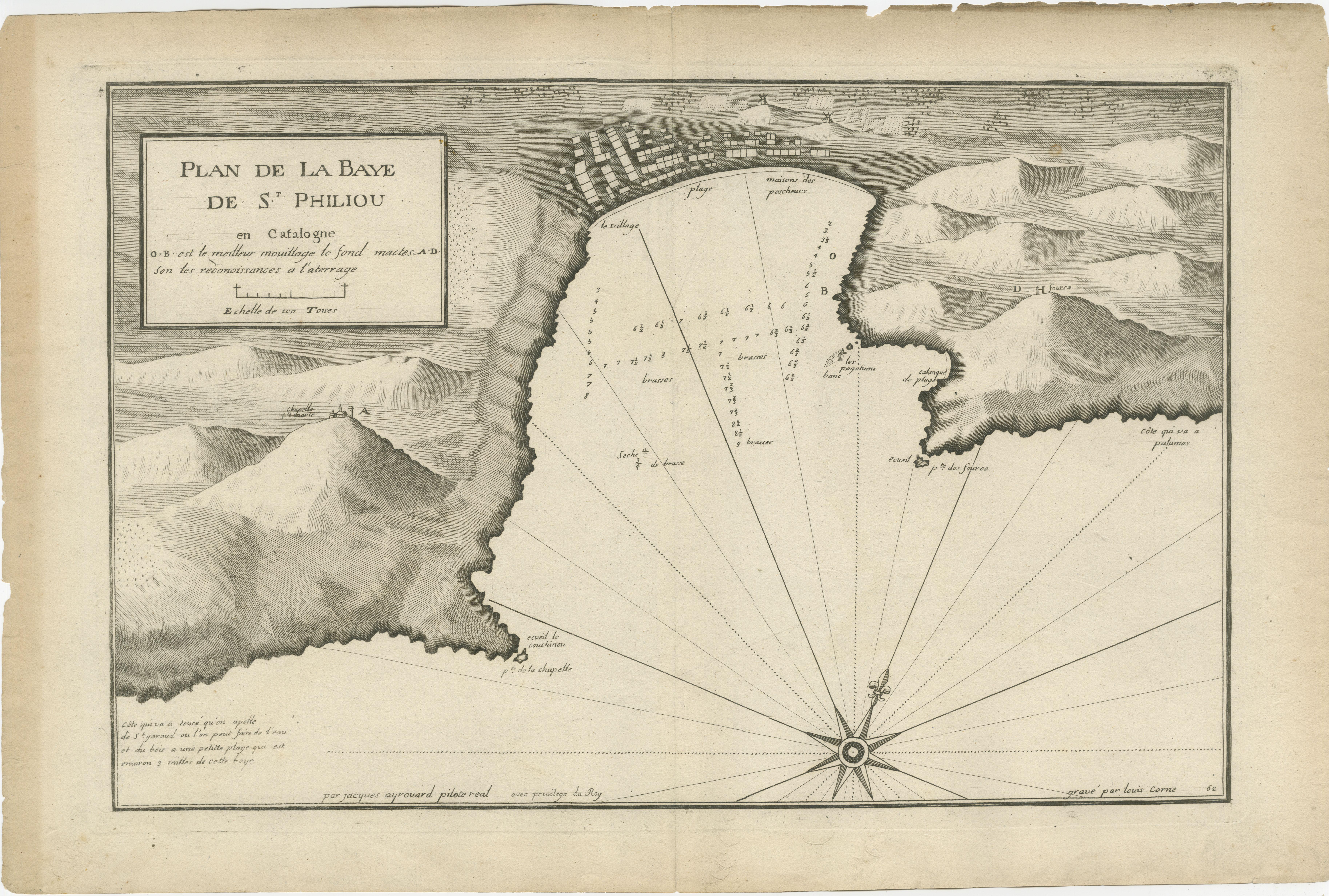
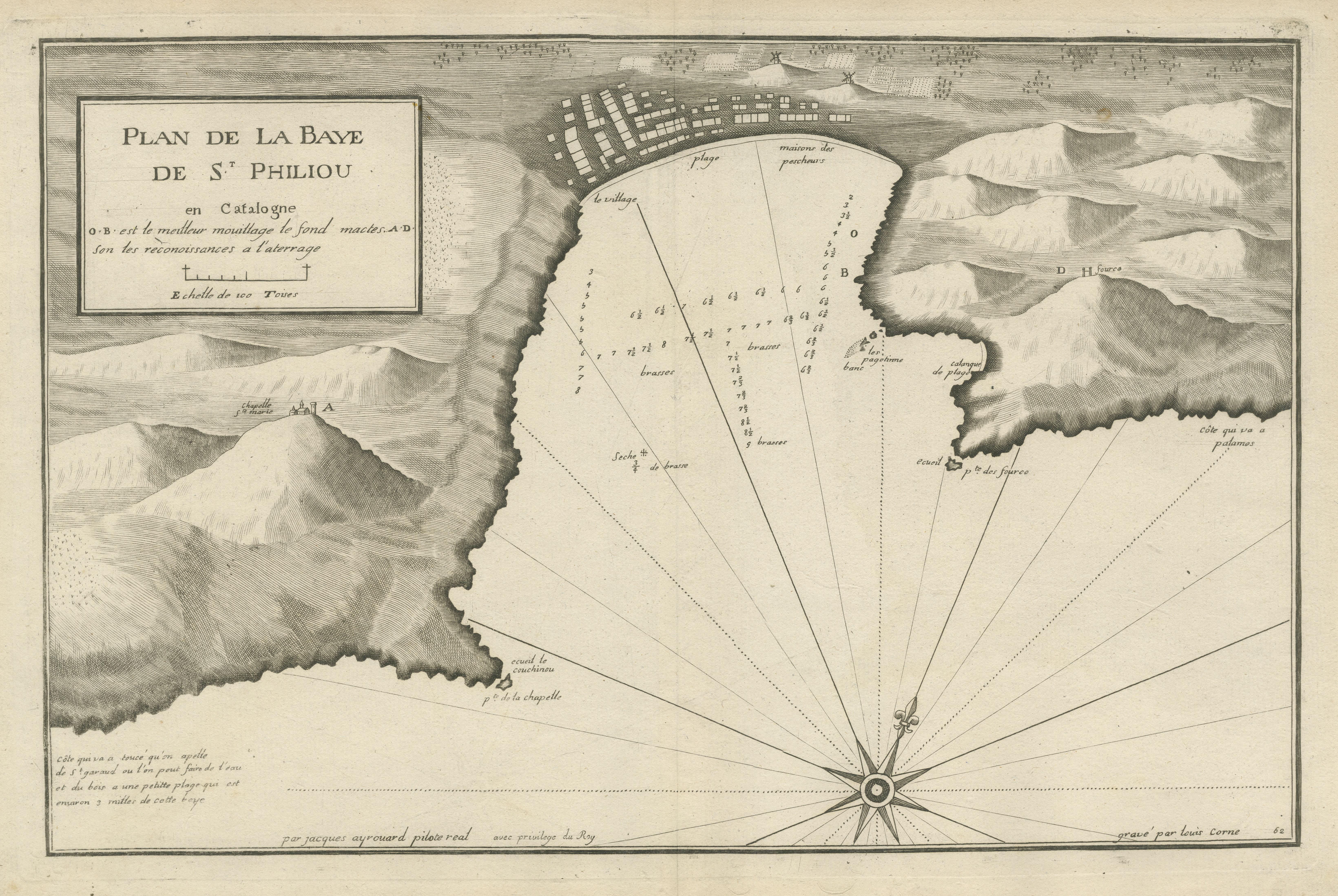
Large Antique Plan of St. Philiou Bay or Sant Feliu Catalonia Spain, circa 1746
€ 540
One of a kind: this is the sheet in the photographs. Ships from Langweer, the Netherlands.
Date
1746
Sheet size
34.5 × 52.7 cm (13.6 × 20.7 in)
Condition
Good
Reference
BG-13432-2
Condition
General age-related toning. Original folding line. Minor wear and soiling, blank verso. Please study image carefully.
About this sheet
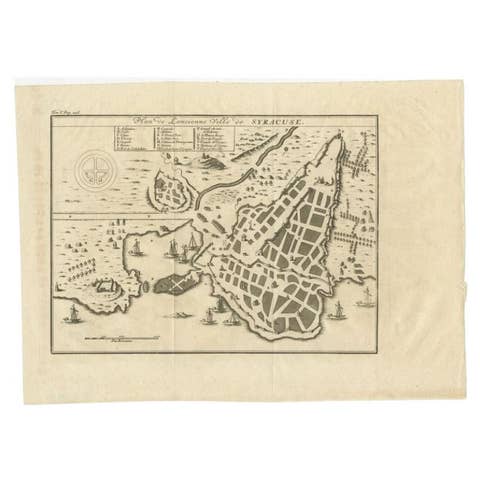
This antique map is a black and white harbor chart, specifically a port plan of St. Philiou, which is likely associated with Sant Feliu, Spain. This historical cartographic piece originates from the scarce atlas 'Recueil de Plusiers Plans des Ports et Rades et de Quelque Cartes Particulieres de la Mer Méditerranée' created by Jacques Ayrouard. The atlas was published around 1746.
It presents a detailed and precise portrayal of the harbor and its surroundings, showcasing navigational elements and geographical features relevant to Sant Feliu, offering a practical resource for sailors, navigators, or merchants of the time. These antique harbor charts and port plans, though scarce, are valuable historical artifacts providing insight into maritime navigation, coastal geography, and the significance of ports in historical trade and exploration within the Mediterranean region.
Sant Feliu de Guíxols is a municipality in the comarca of the Baix Empordà in Catalonia, Spain. It is situated on the Costa Brava and is now an important port and tourist centre.