Martinique Island in the Caribbean by Bellin Original Original Antique Map, 1780
€ 236
One of a kind: this is the sheet in the photographs. Ships from Langweer, the Netherlands.
Date
1780
Sheet size
25 × 34 cm (9.8 × 13.4 in)
Condition
Good
Reference
BG-13618-40
Condition
Good condition, consisdering its age. Original fold lines as issued. One small light brown spot in lower margin. Attractive colors.
About this sheet
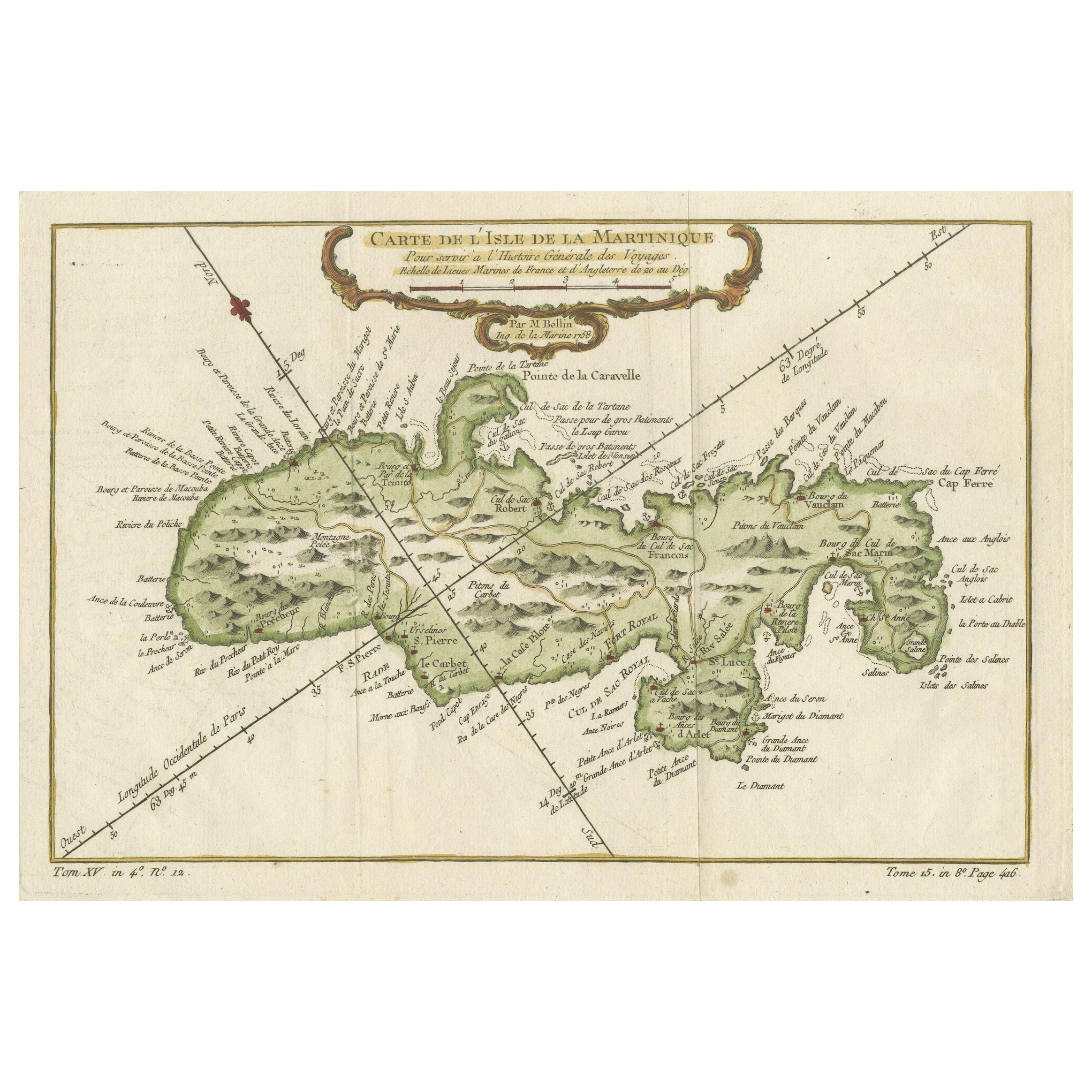
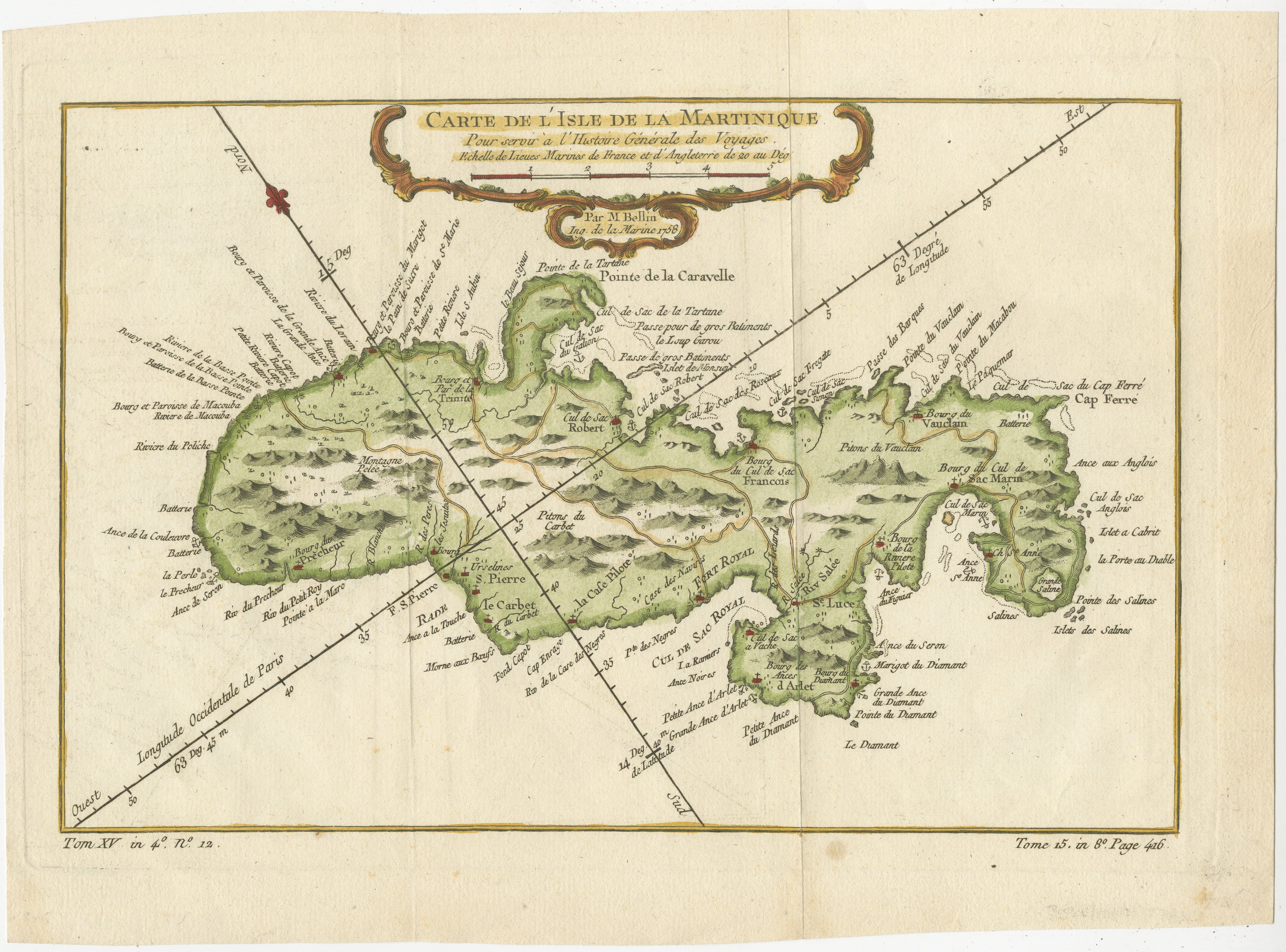
This mid-18th century map, "Carte de l'Isle de la Martinique pour servir a l'historie generale des voyages," was issued in 1780 by M. Bellin in Paris. It presents a detailed and visually captivating depiction of the Island of Martinique within the context of the Caribbean and the Lesser Antilles.
**Title:** Carte de l'Isle de la Martinique pour servir a l'historie generale des voyages **Issuer:** M. Bellin **Date:** 1780 **Location Coverage:** North America, Caribbean, Martinique, Lesser Antilles
This engraved map is notable for its pleasing aesthetics, featuring lovely hand coloring that enhances its visual appeal. The inclusion of a scroll cartouche, an ornamental frame, and measurement lines adds a distinctive and visually appealing quality to the map.
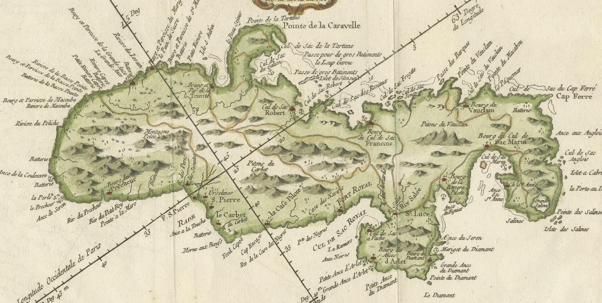
Martinique, situated within the Lesser Antilles in the Caribbean, is presented with meticulous detail, showcasing geographical features, coastlines, settlements, and other notable landmarks. Bellin, known for his accuracy in cartography, crafted this map to serve as a geographical reference within the broader context of historical voyages and exploration.
The combination of detailed cartographic information and artistic embellishments, such as hand coloring and decorative elements, makes this map not only a valuable geographical document but also a visually pleasing piece of cartographic art from the mid-18th century.
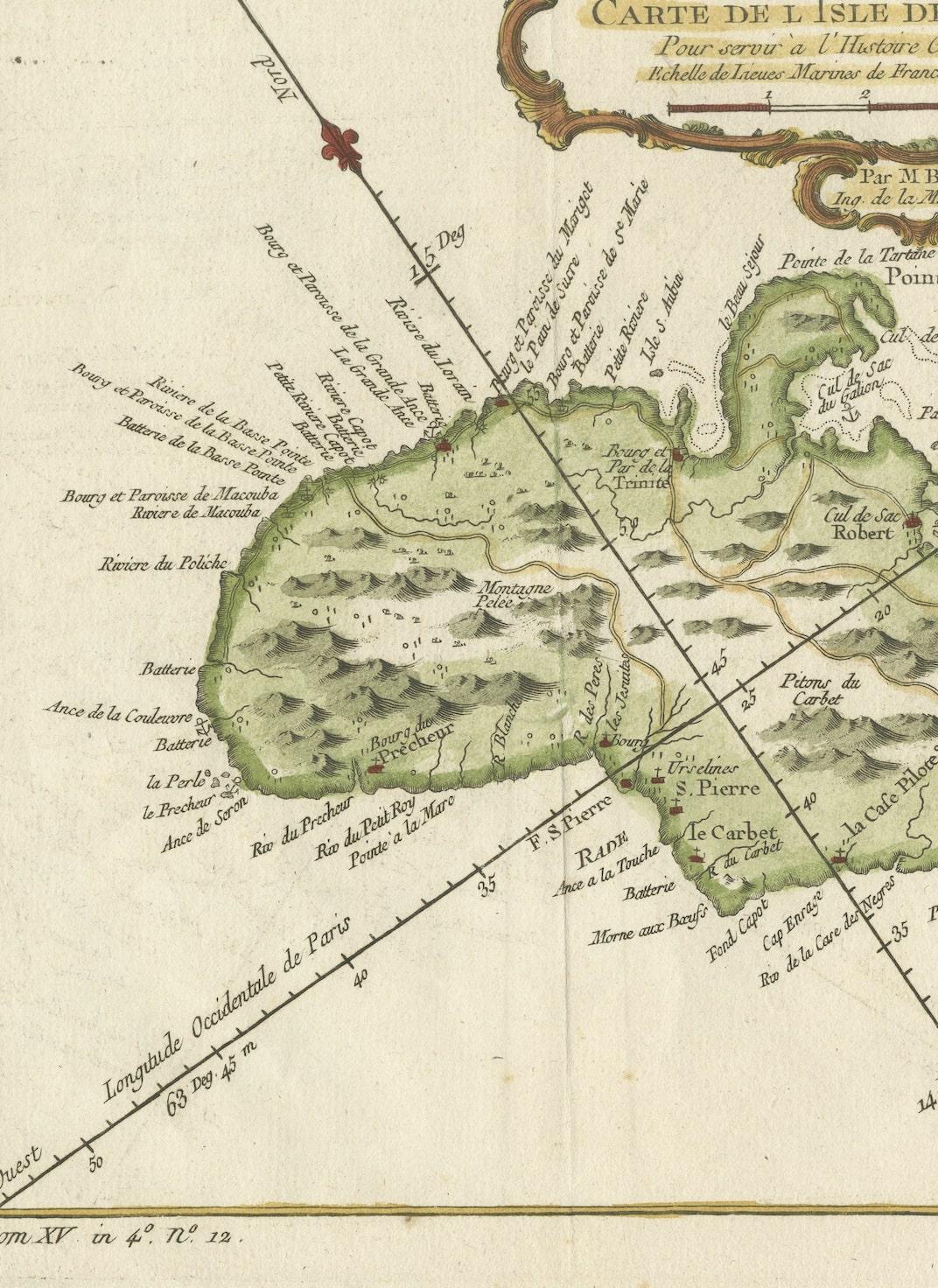
Notice that the direction "north" is shown by the arrow on the diagonal line in the upper left part of the image. Map is very detailed showing inland roads.