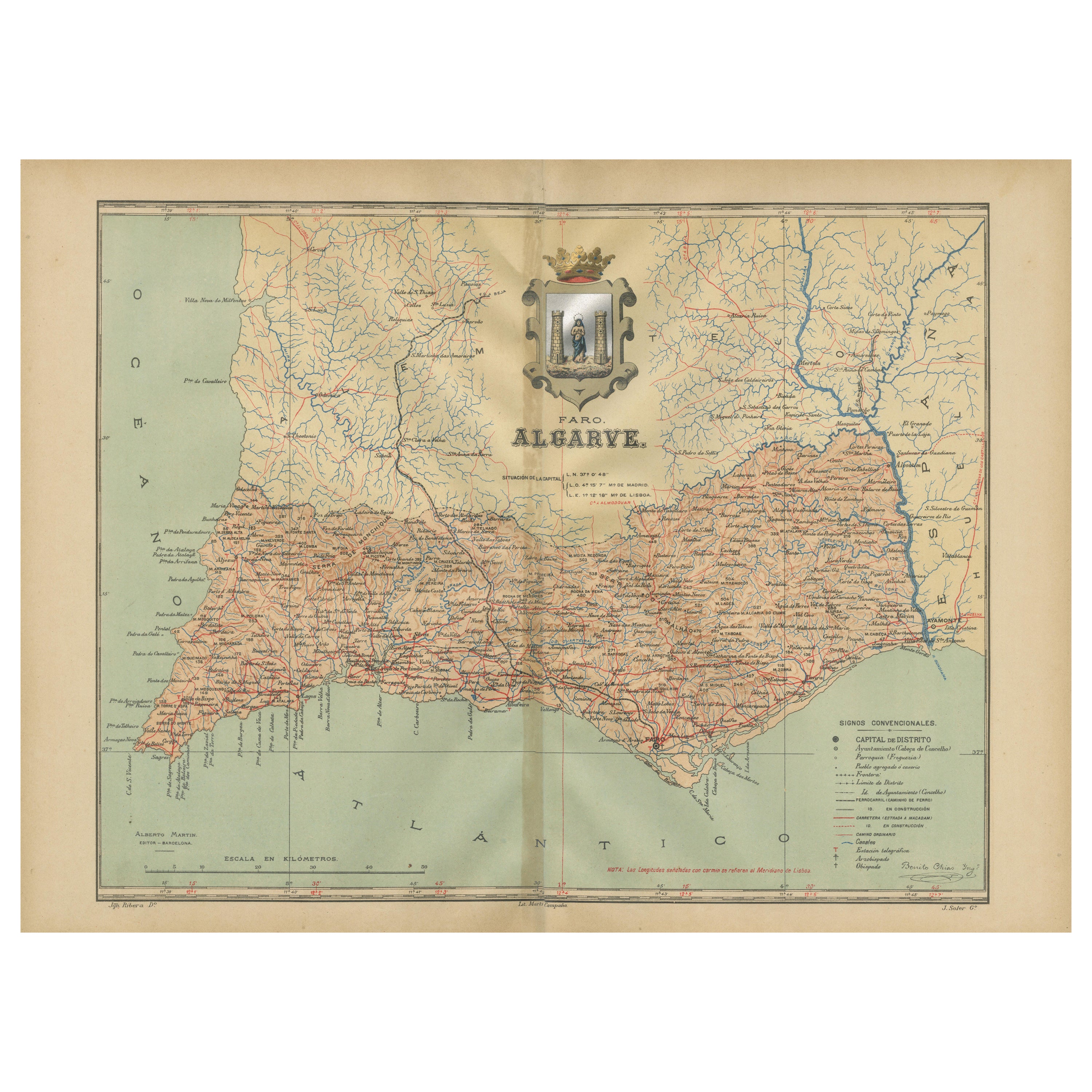
Algarve: A Tapestry of Sea and Sunlight in an Antique Map, 1903
€ 390
One of a kind: this is the sheet in the photographs. Ships from Langweer, the Netherlands.
Date
1903
Sheet size
37.5 × 51 cm (14.8 × 20.1 in)
Condition
Good
Reference
BG-13642-55
Condition
Good condition. Central vertical folding lines as issued. Aged paper with typically warm, yellowish-brown hue, especially around the edges and folding lines, adding to its patina. Check the images carefully.
About this sheet
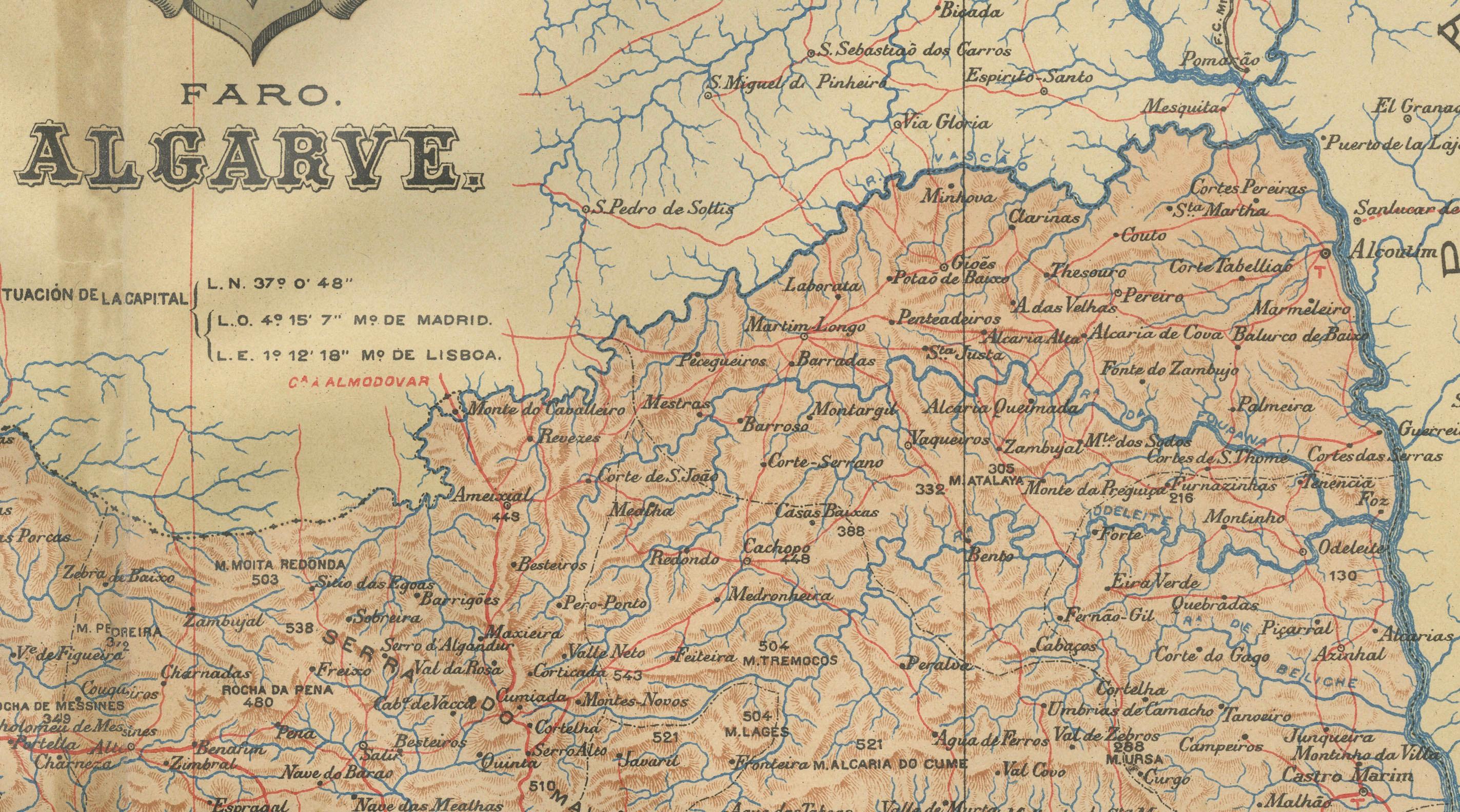
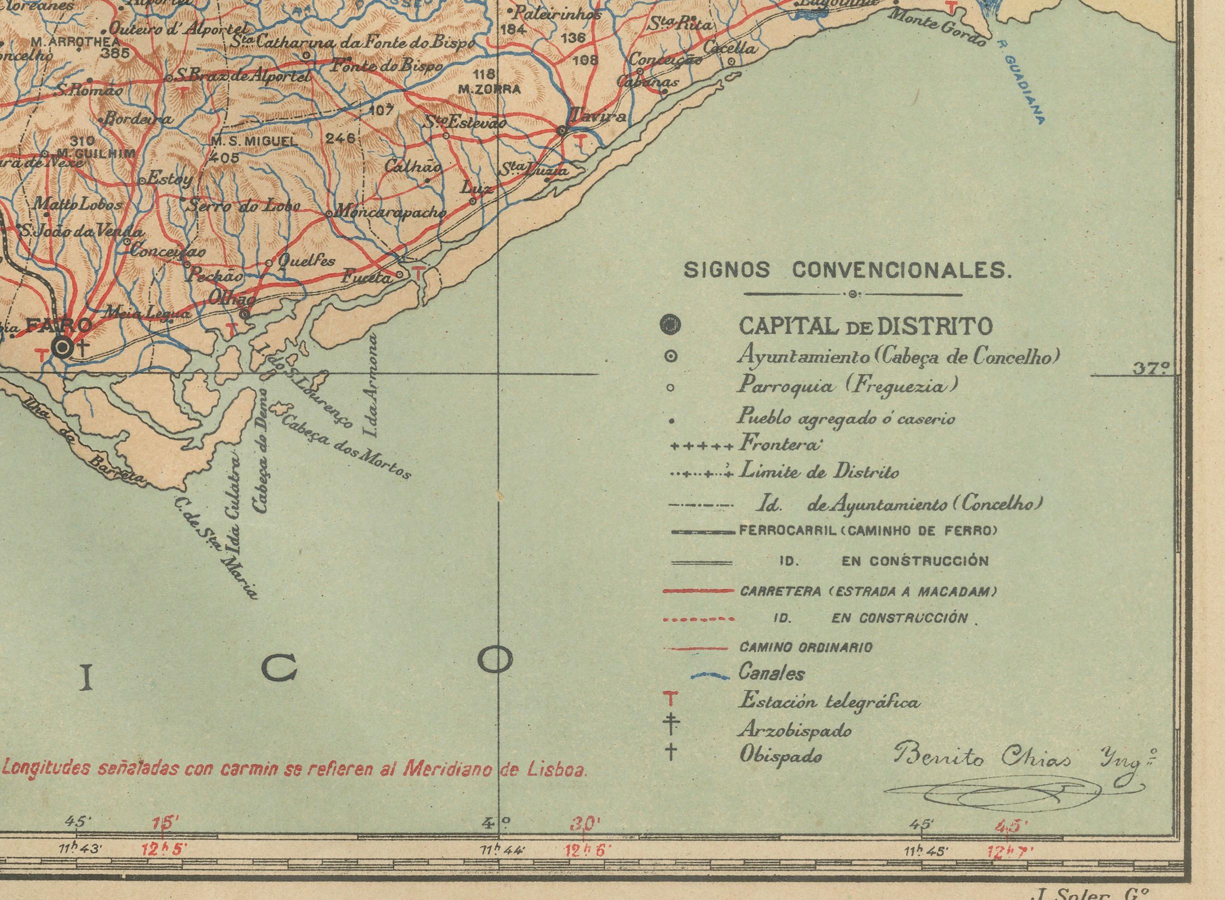
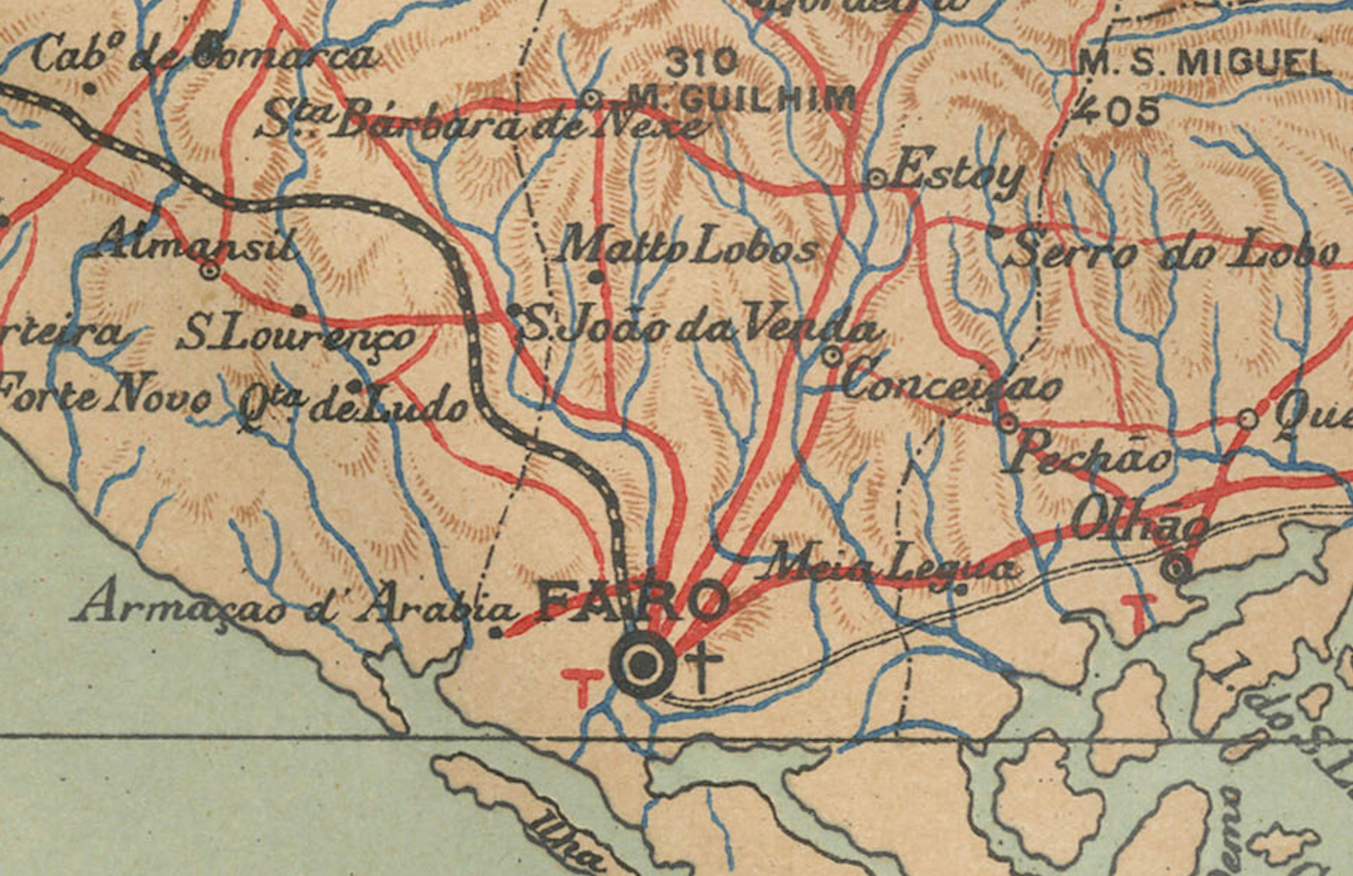
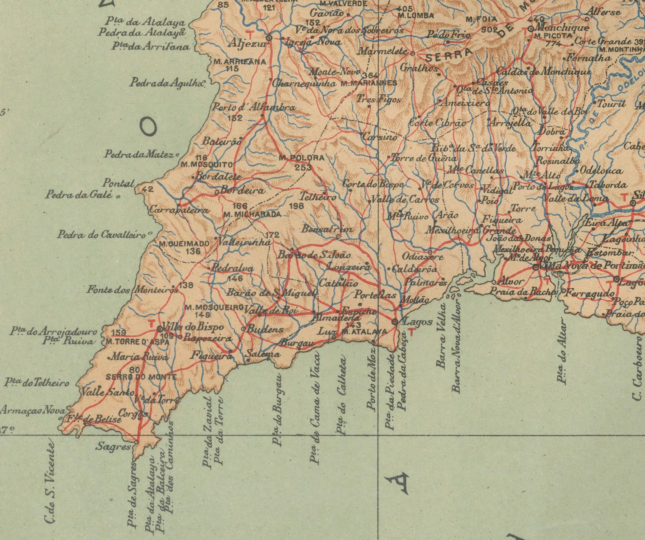
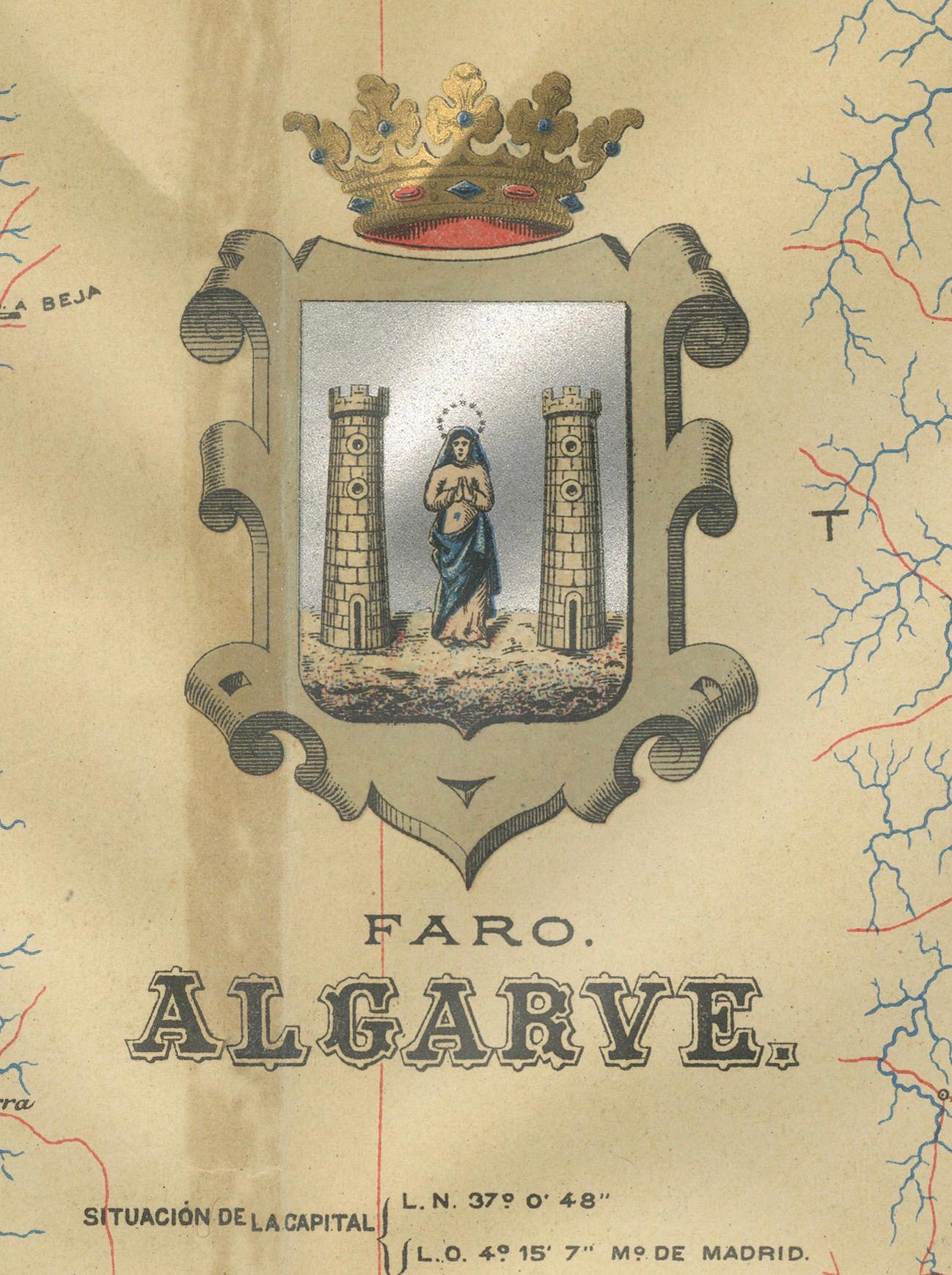
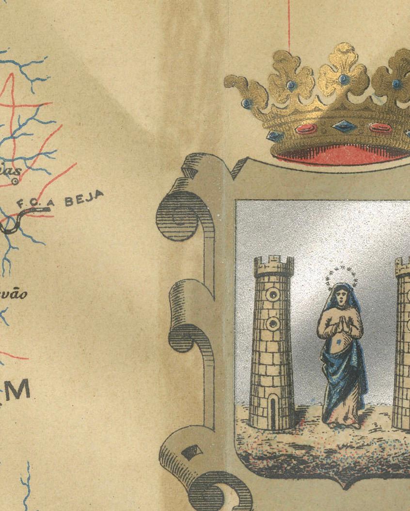
The image is a historical map of the Algarve, the southernmost region of Portugal. The map is titled "FARO. ALGARVE," indicating that it is centered around the city of Faro, which is the administrative center of the Algarve. The map details the intricate network of roads and railways, the varied terrain with its coastal areas, and the interior topography.
The Algarve is known for its:
1. **Scenic Coastline**: The Algarve boasts some of Europe's most picturesque beaches, dramatic cliff formations, and sea caves.
2. **Climate**: The region is renowned for its Mediterranean climate, characterized by hot, dry summers and mild, wet winters.
3. **Tourism**: It is a major tourist destination, popular for its seaside resorts, golf courses, and vibrant nightlife.
4. **Historical Sites**: The Algarve has a rich history, with landmarks dating back to the Roman and Moorish periods.
5. **Cultural Festivals**: The region hosts numerous cultural events, including traditional festivals, music, and gastronomy fairs.
6. **Natural Reserves**: The Ria Formosa lagoon, a natural park and a haven for migratory birds, is located in the Algarve.