
Maps & PrintsBartele Gallery · Langweer
Home / Antique Maps / Europe / Central Europe

Central Europe

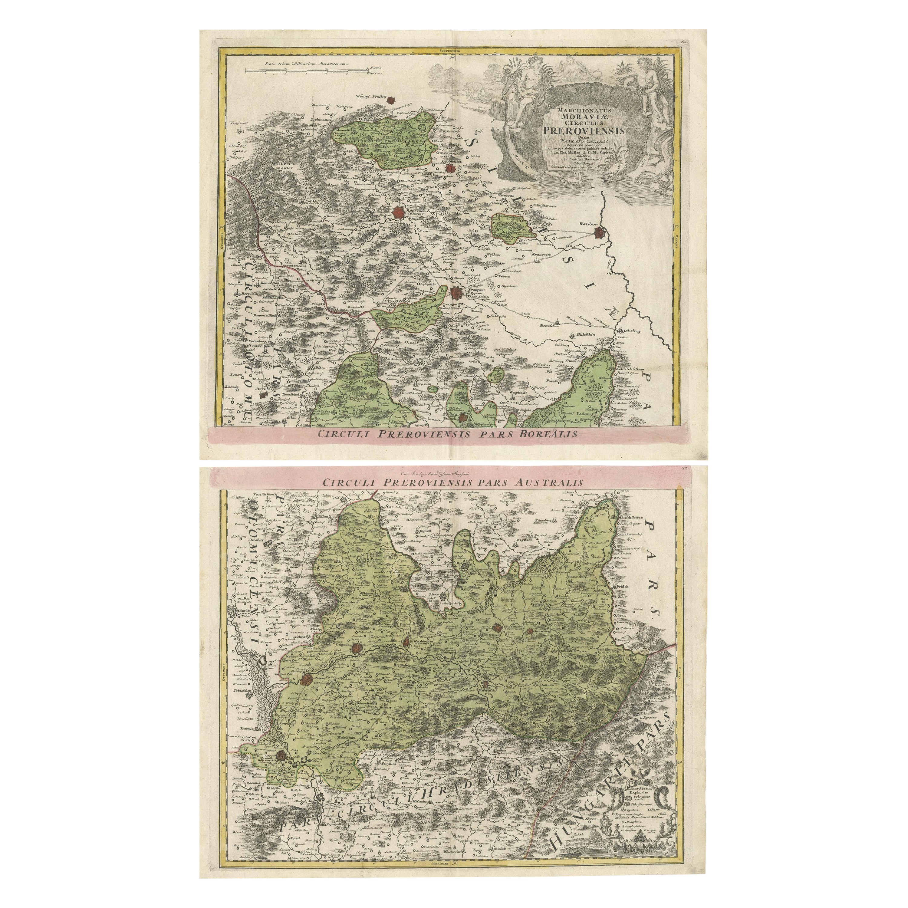
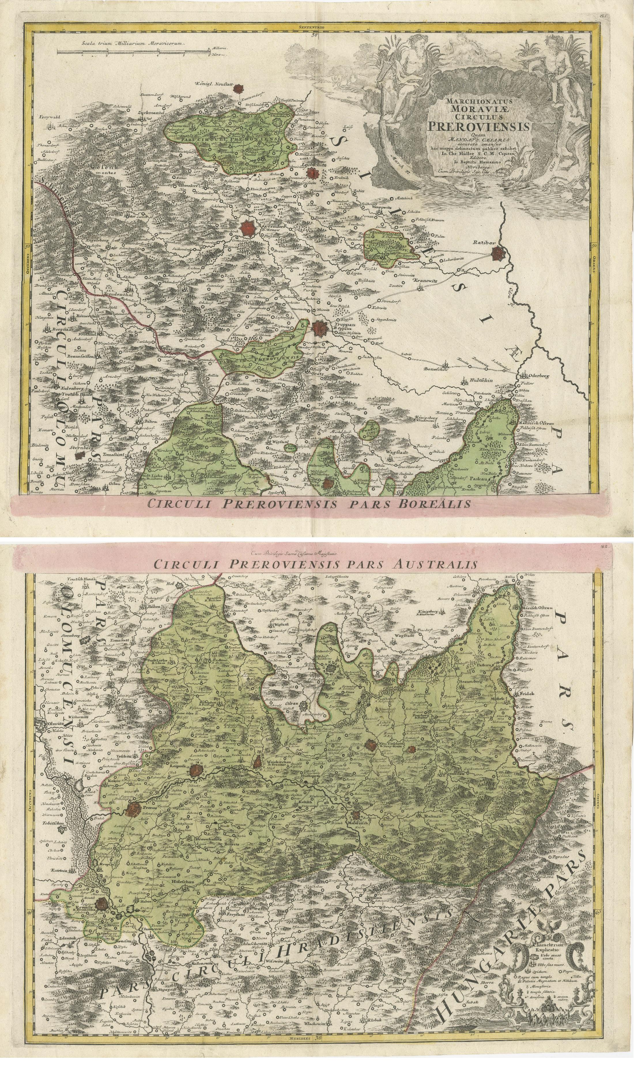

Set of 2 Antique Maps covering part of modern-day Czech Republic

€ 990

One of a kind: this is the sheet in the photographs. Ships from Langweer, the Netherlands.

Sheet size
53 × 63 cm (20.9 × 24.8 in)
Condition
Good
Reference
BG-13443-4 & BG-13443-5

Condition

General age-related toning. Original folding line. Shows some wear and soiling. Blank verso. Please study images carefully.

About this sheet


Set of two antique maps titled 'Marchionatus Moraviae circulus Preroviensis'. Two individual sheets covering part of modern-day Czech Republic. Cities included are Opava, Fulnek, Lipnik (Leipnik), Přerov (Prerau) and many more. Published by Johann Baptist Homann, circa 1720.

Johann Baptist Homann (20 March 1664 – 1 July 1724) was a German geographer and cartographer.

More from Central Europe

Ask about this sheet

Set of 2 Antique Maps covering part of modern-day Czech Republic
Ref. BG-13443-4 & BG-13443-5 · € 990
We reply by email, usually within one working day.