Empire's Tapestry: Mapping Portugal's Global Legacy in 1903
€ 340
One of a kind: this is the sheet in the photographs. Ships from Langweer, the Netherlands.
Date
1903
Sheet size
51 × 37.5 cm (20.1 × 14.8 in)
Condition
Good
Reference
BG-13642-58
Condition
Good condition. Central vertical folding lines as issued. Aged paper with typically warm, yellowish-brown hue, especially around the edges and folding lines, adding to its patina. Check the images carefully.
About this sheet
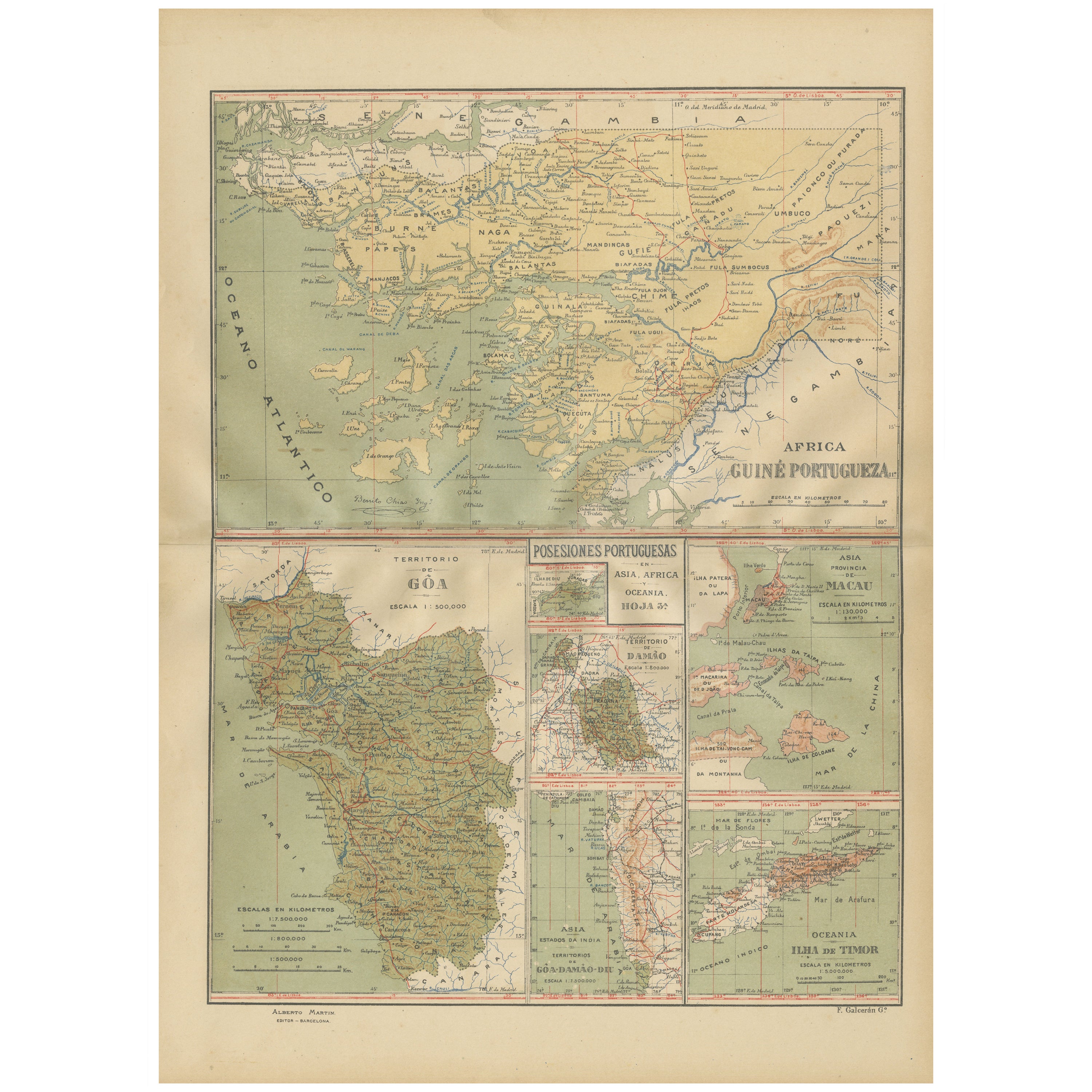
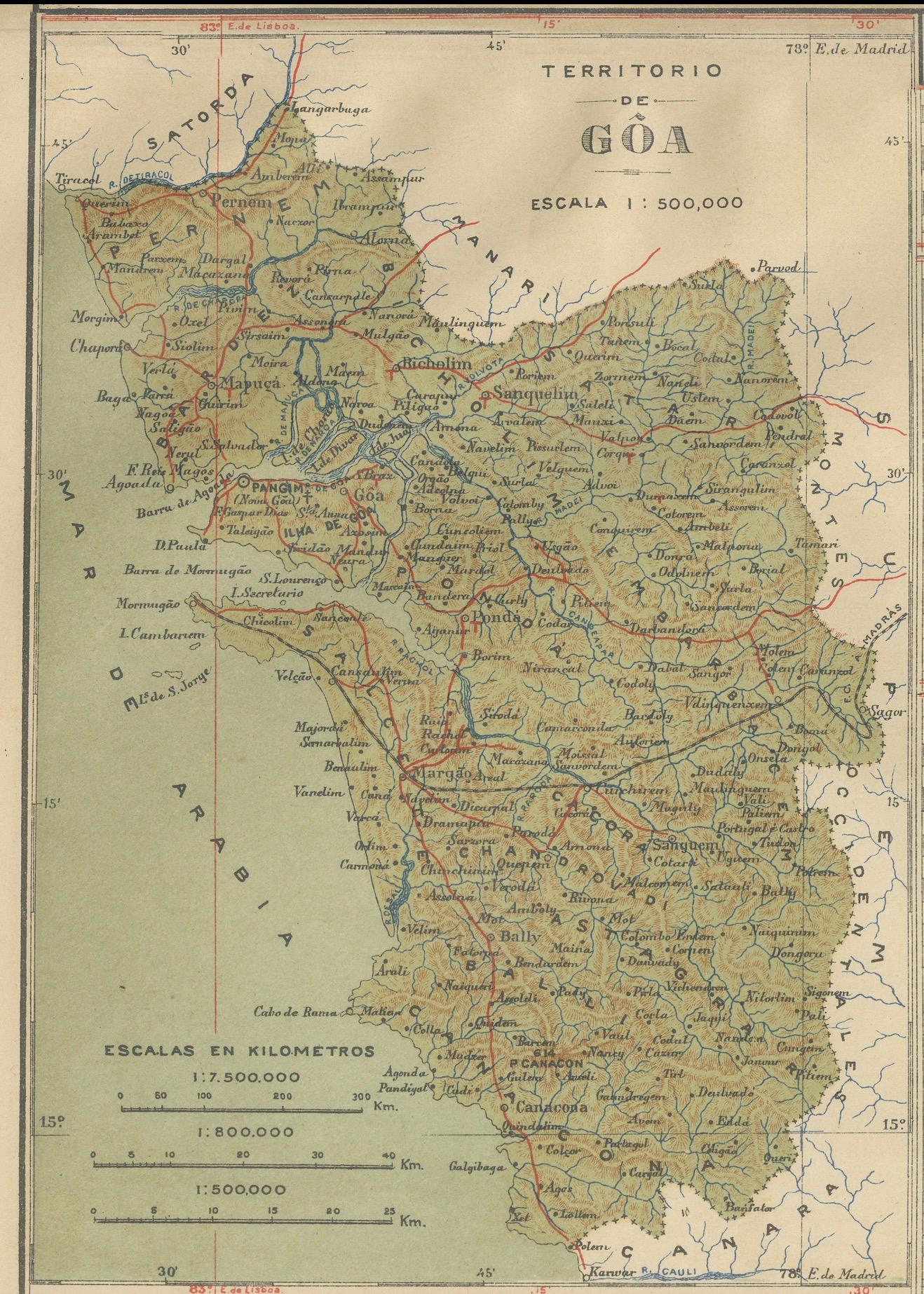
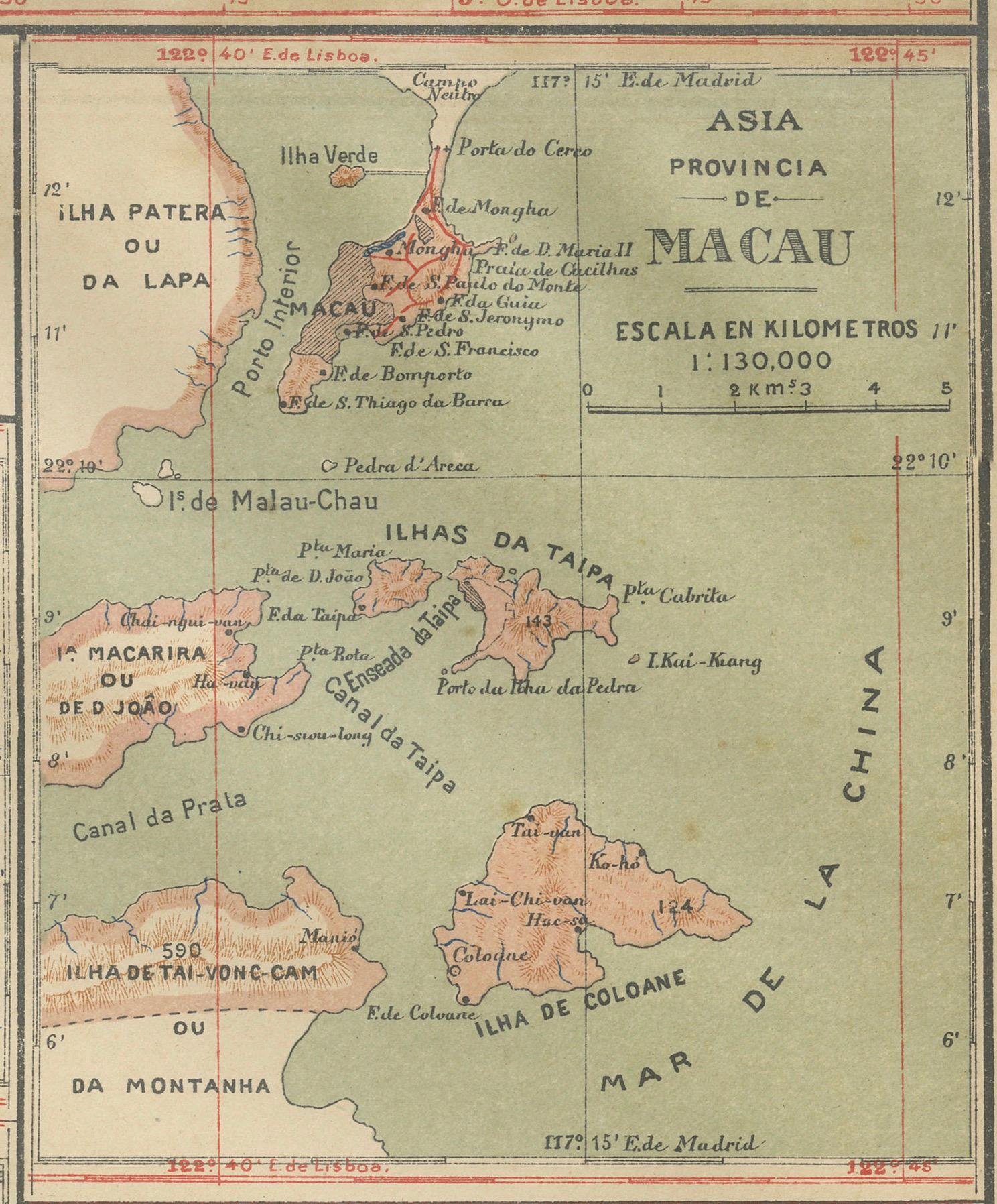
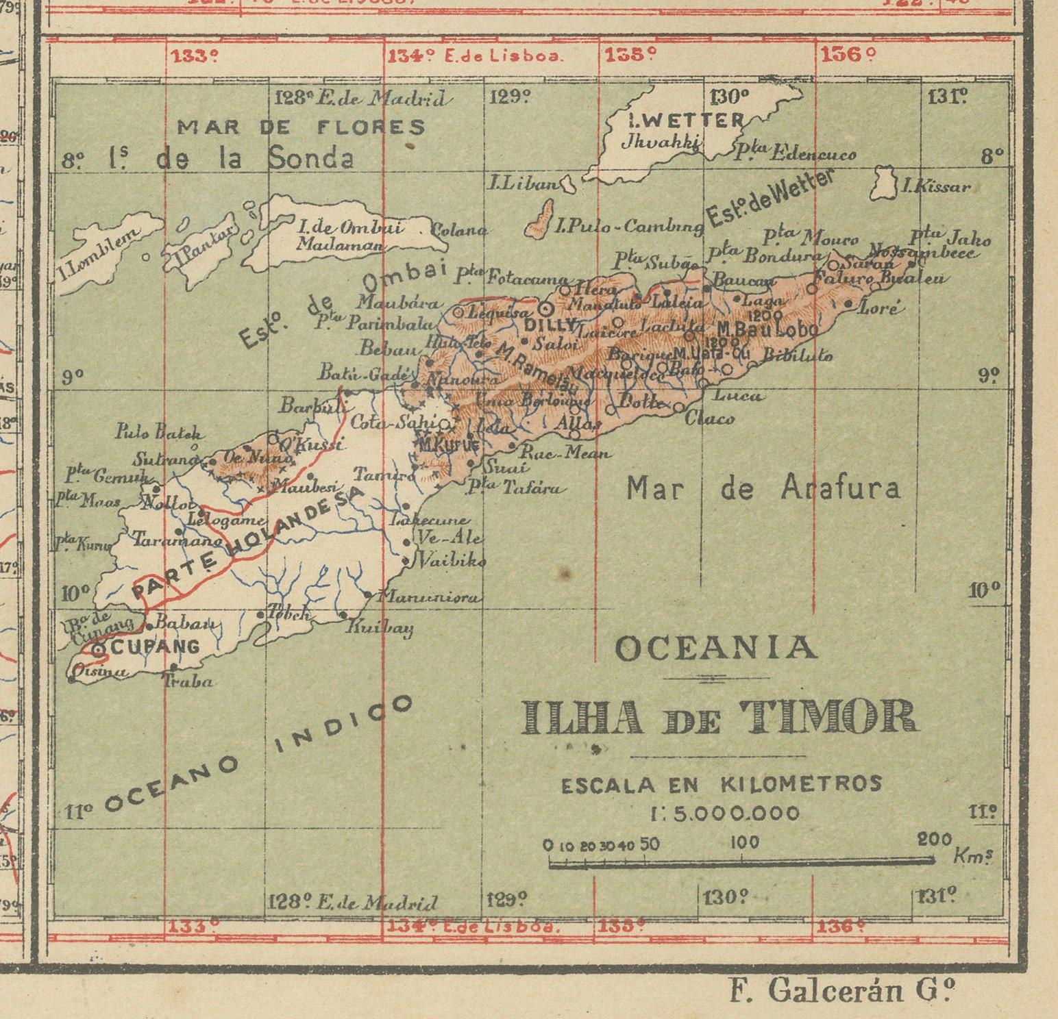
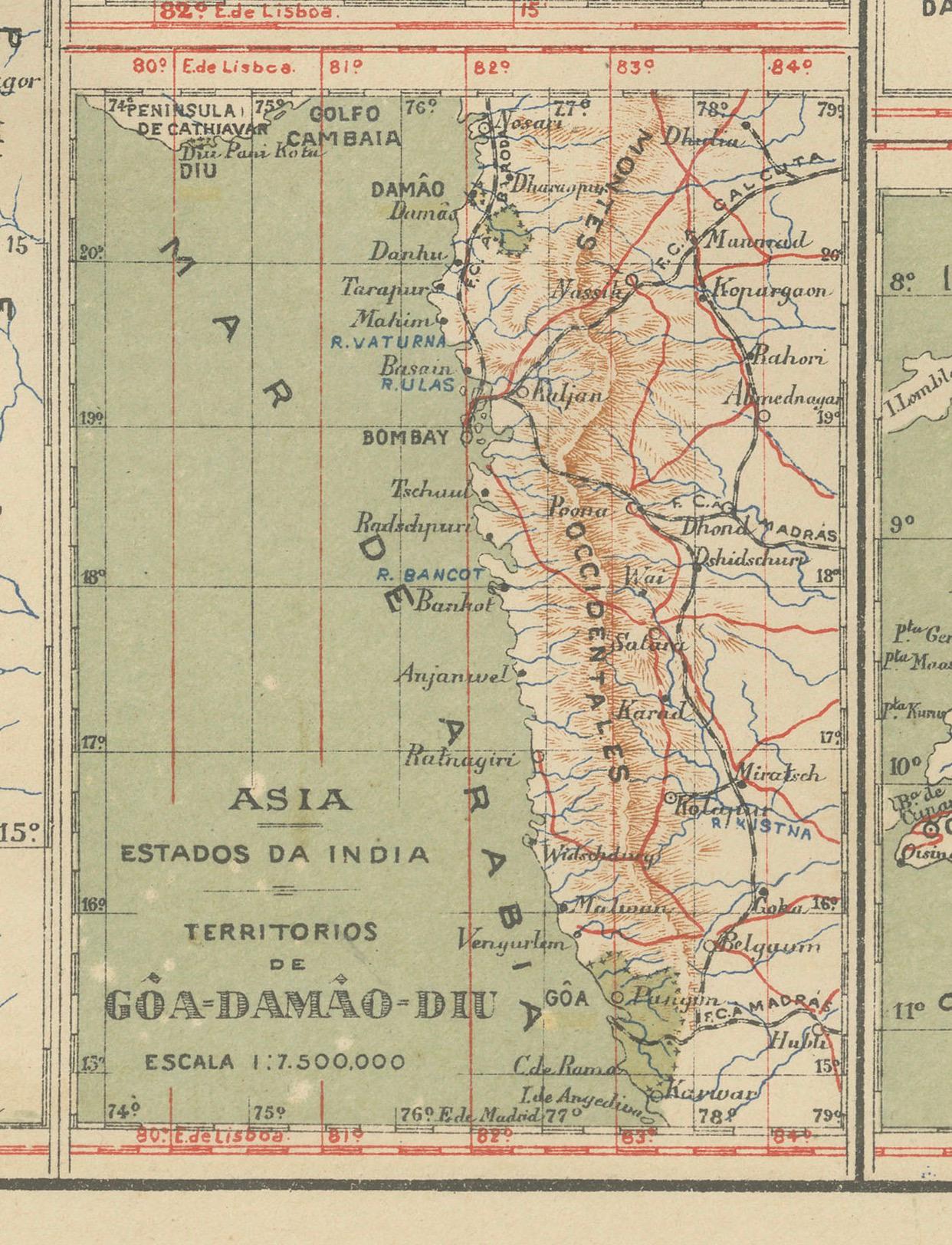
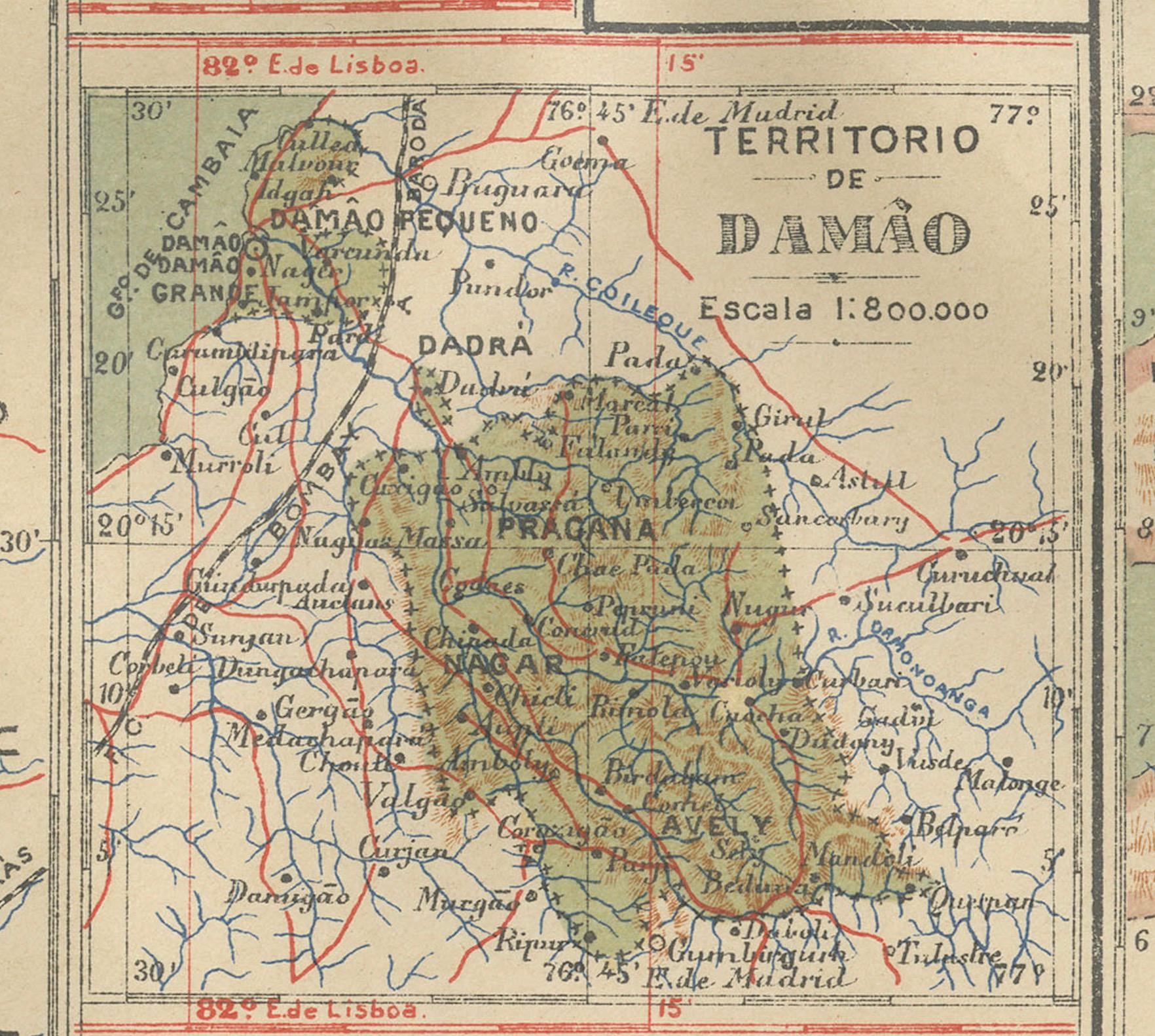
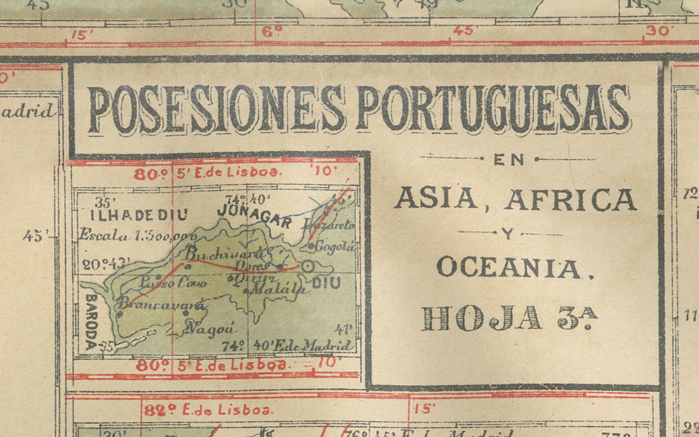
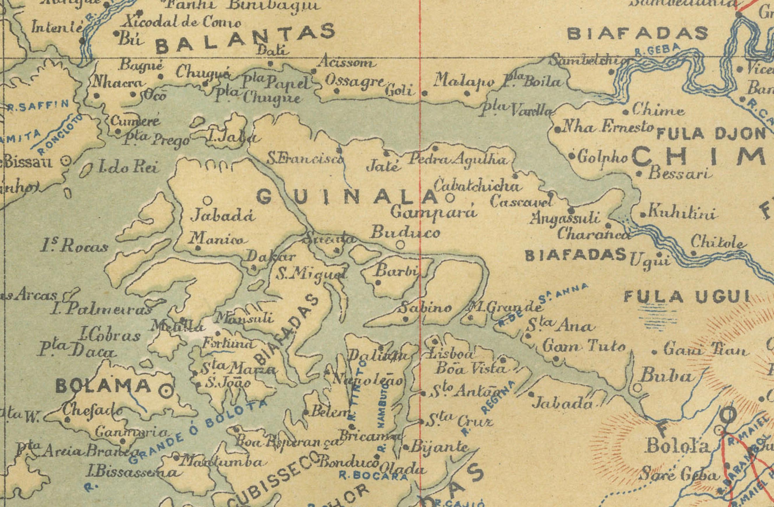
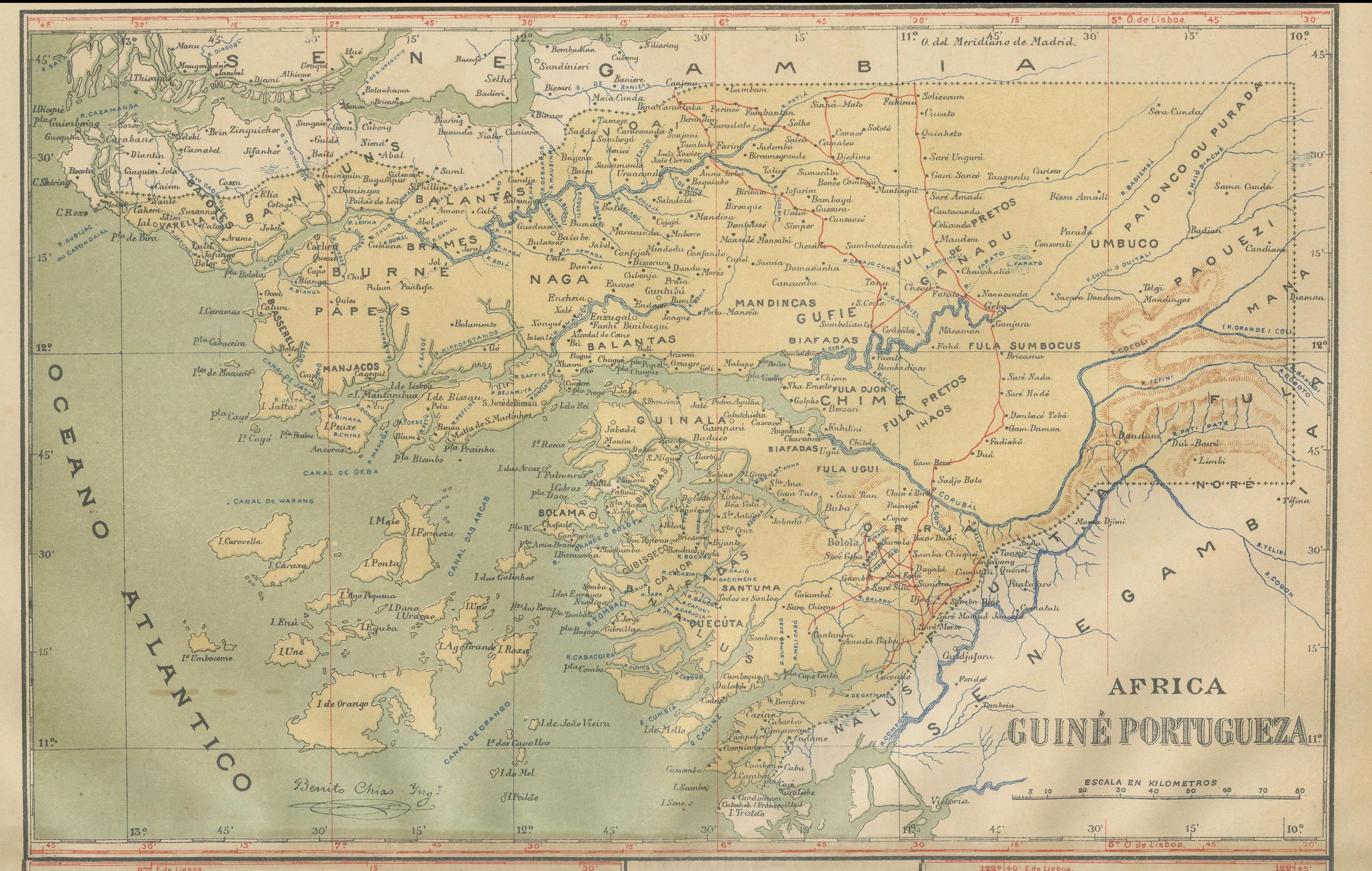
This map is an original antique map that showcases Portuguese possessions around the turn of the 20th century, with a focus on Guinea-Bissau (referred to on the map as "Guiné Portuguesa"), as well as insets of other colonial territories including Goa (in India), Damão (Daman), Diu, Macau (in China), and Timor (split between present-day Indonesia and East Timor).
Each map segment provides a detailed view of the respective territory's geography, including major towns, rivers, and the transportation networks of that era. These regions are historically significant for various reasons:
- **Guinea-Bissau**: Known for its rich cultural heritage and as an important center of the transatlantic slave trade.
- **Goa, Daman, and Diu**: These were key trading ports on the west coast of India with a significant influence on the cultural and culinary landscapes of the region.
- **Macau**: It served as a major gateway for the exchange between Chinese and European cultures and was one of the oldest European colonies in Asia.
- **Timor**: This island was split into western and eastern parts, with the eastern part being the Portuguese colony. It has a unique history and blend of cultures due to its colonial past.