Antique Maps of Europe
2,956 original sheets
Western Europe 1908Northern Europe 146Central Europe 88Eastern Europe 102South-East Europe 135Southern Europe 275Europe as a Whole 169
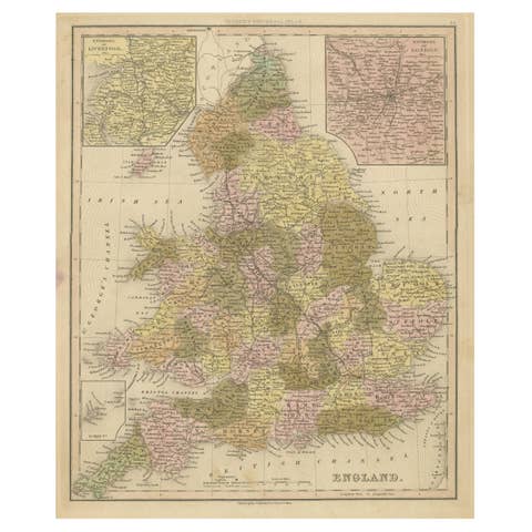
Antique Map of England with Inset Maps of the Region of Liverpool and London
€ 380
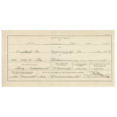
Antique Map of the Admiralty Islands, Bismarck Archipelago
€ 380

Antique Print of a Native of the Port of Carteret, Bismarck Archipelago
€ 250
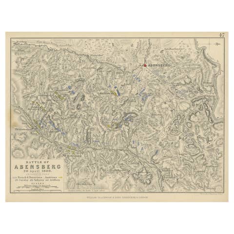
Antique Plan of the Battle of Abensberg in Germany
€ 140
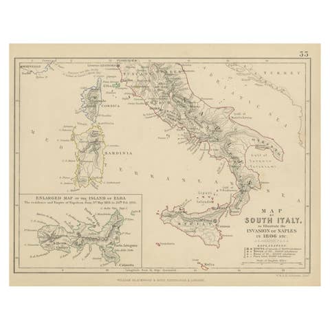
Antique Map of South Italy, illustrating the Invasion of Naples in, 1806
1806 · € 190
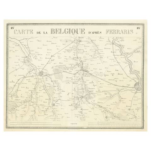
Antique Map of the Region near Cologne, Germany
€ 440
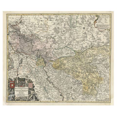
Antique Map of present-day North-Rhine Westphalia, Germany
€ 530
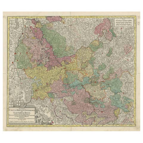
Antique Map of the region of Trier, Mainz and Cologne, Germany
€ 480
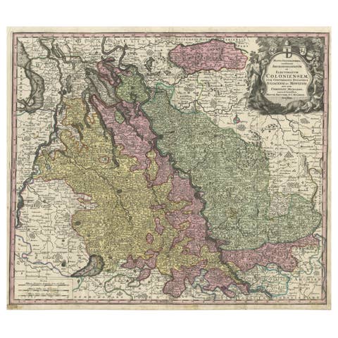
Antique Map of both sides of the Central Rhine River, Germany
€ 540
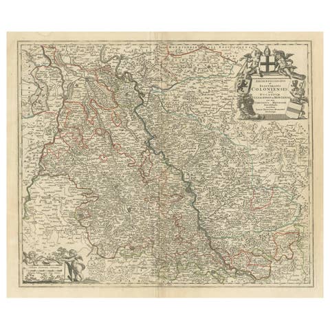
Antique Map of the Rhine centered on Cologne, Germany, with outline coloring
€ 480
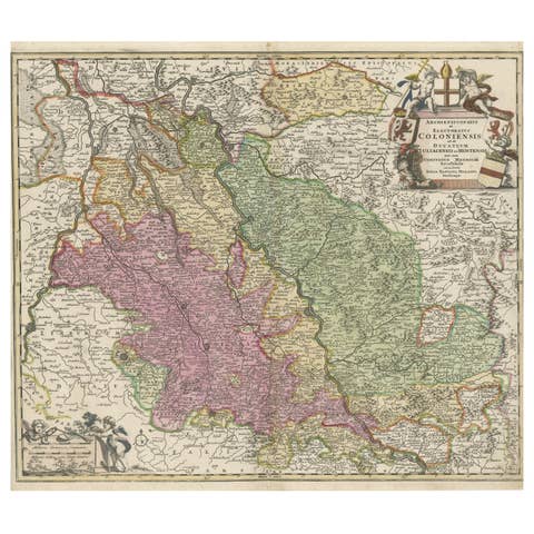
Antique Map of the Rhine centered on Cologne, Germany
€ 550
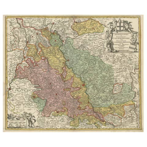
Antique Map of the Rhine centered on Cologne, Germany, circa 1720
1720 · € 540
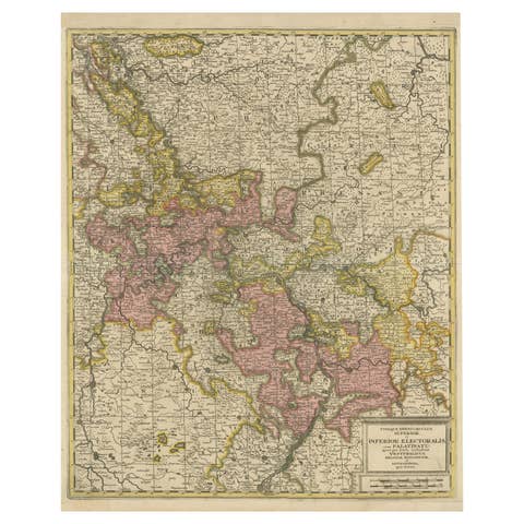
Antique Map of the Area centered on the Rhine River with original coloring
€ 590
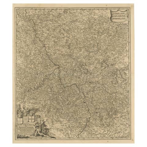
Antique Map of the Niederrhein region, Germany
€ 450
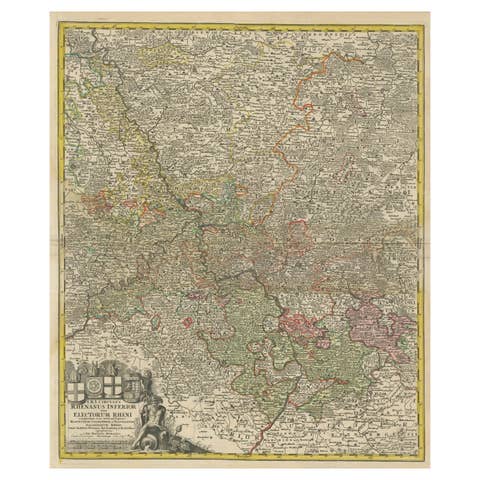
Detailed Antique Map of the Lower Rhine region, Germany
€ 450
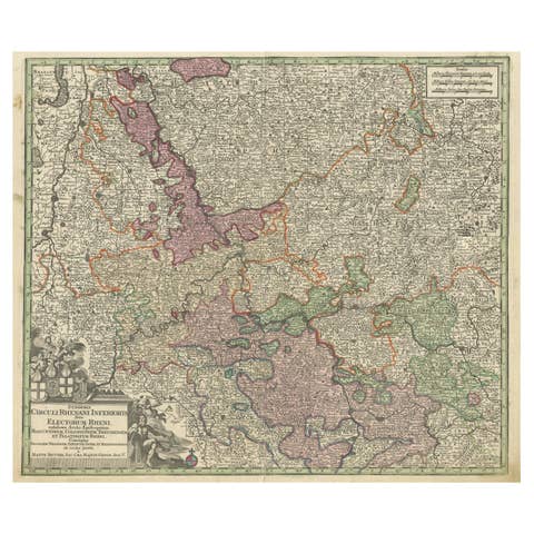
Antique Map of the Course of the Rhine from Philippsburg to Duisburg, Germany
€ 560
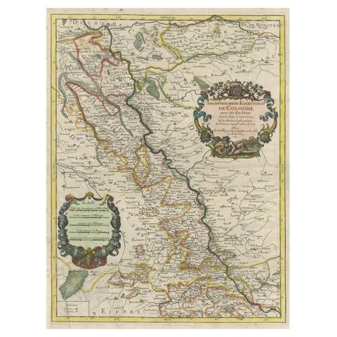
Antique Map of the Archdiocese of Cologne, Germany
€ 430
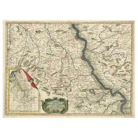
Antique Map of the course of the Rhine from Lahnstein to Rheinkassel, Germany
€ 660
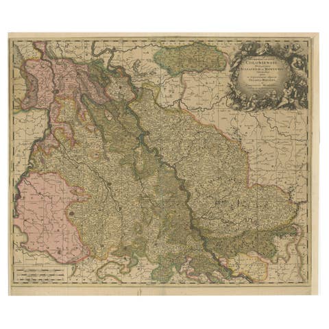
Antique Map of Cologne with the duchies of Jülich and Berg, Germany
€ 470
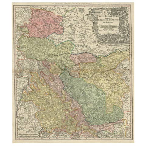
Antique Map of Western Germany with part of the Netherlands
€ 450
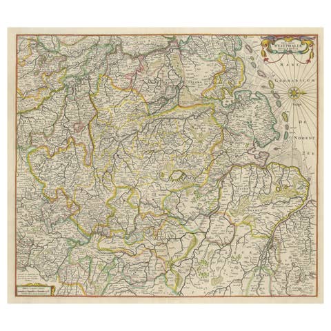
Antique Map of Westphalia, West Orientation
€ 620
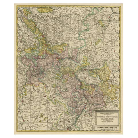
Antique Map of the Area centered on the Rhine River, Germany
€ 660

Antique Map of the Island of Java, Indonesia
€ 450
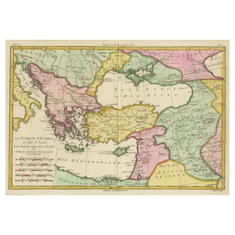
Antique Map of the Eastern Mediterranean and the Balkans
€ 540

Detailed Antique Map of the Black Sea, Balkans and Asia Minor
€ 580

Lithographic Plan of Stockholm Printed on a Fan with Swedish Scenes on Reverse
€ 410
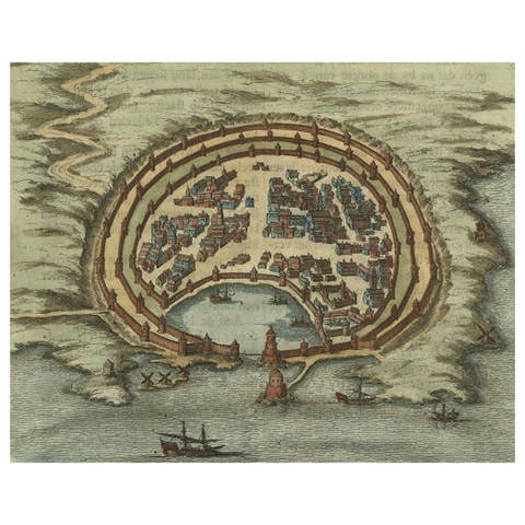
Antique Engraving with a Plan of Rhodes, Greece, 1688
1688 · € 450
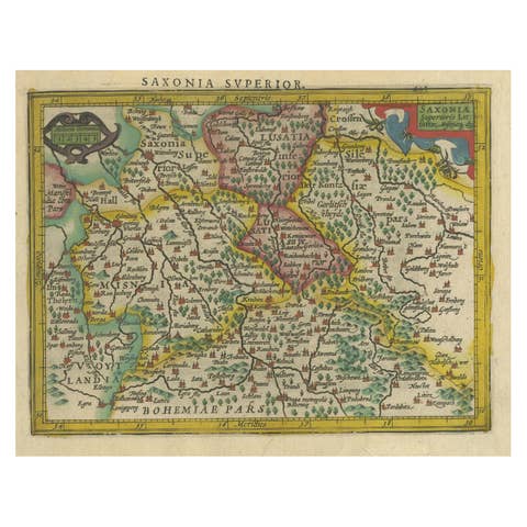
Small Original Antique Map of Upper Saxony, Germany
€ 340
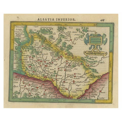
Small Original Antique Map of the Lower Alsace region, Germany
€ 340

Antique Map of the Balkans with Coat of Arms
€ 440

Antique Map of Spain including the Balearic Islands
€ 380
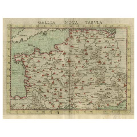
Antique Map of France, based on the work of Ptolemy
€ 380
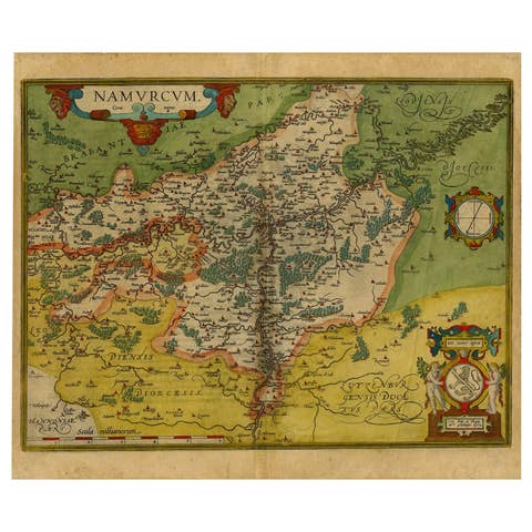
Antique Map of the Namen or Namur Region in Wallonia, Belgium
€ 440
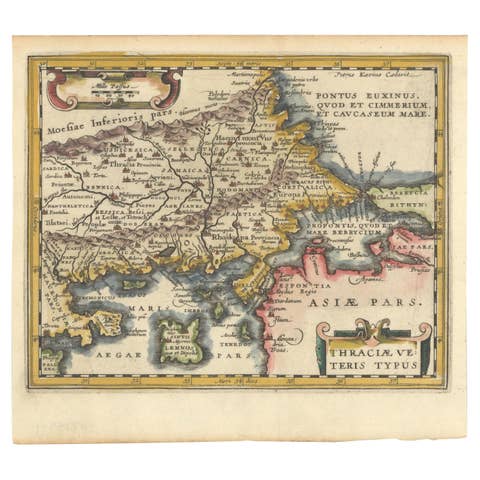
Original Old Map of Northeastern Greece & Northwestern Turkey, Published in 1661
1661 · € 420
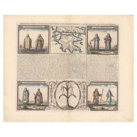
Small Map of Southern Greece Together with Five Greek Religious Scenes, ca.1720
1720 · € 490
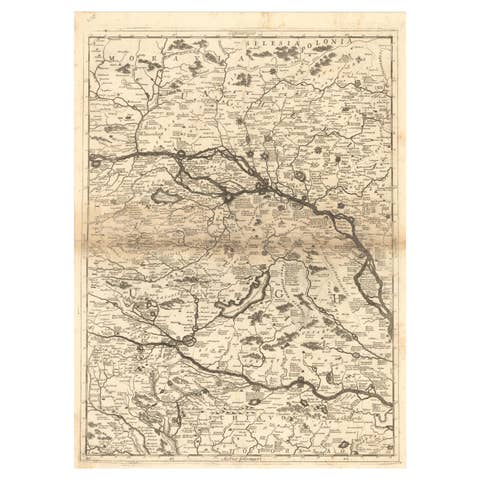
Old Map Showing Info Related to the Ottoman Wars including Conflict Dates, c1690
€ 620
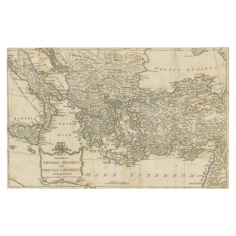
Antique Map of the Ancient Greek Colonization
€ 180

Antique Map of Zeeland, The Netherlands, by Jaillot, 1693
1693 · € 890

Rare and Interesting Small Antique Woodcut Map of the Mediterranean, 1568
1568 · € 2 800
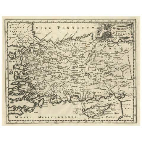
Antique Map of Asia Minor with part of the Greek Archipelago and Cyprus, 1729
1729 · € 340
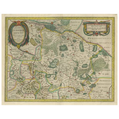
Antique Map of the Duchy of Lüneburg, Lower Saxony, Germany
€ 540
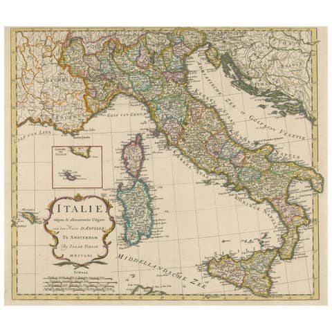
Detailed Antique Map of Italy and surrounding Islands, 1761
1761 · € 620
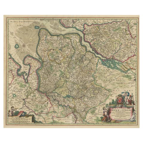
Antique Map of the region of Bremen and Verden, Germany
€ 490

Antique Map of Northern Asia, with Russia, Korea and Northern Japan
€ 990
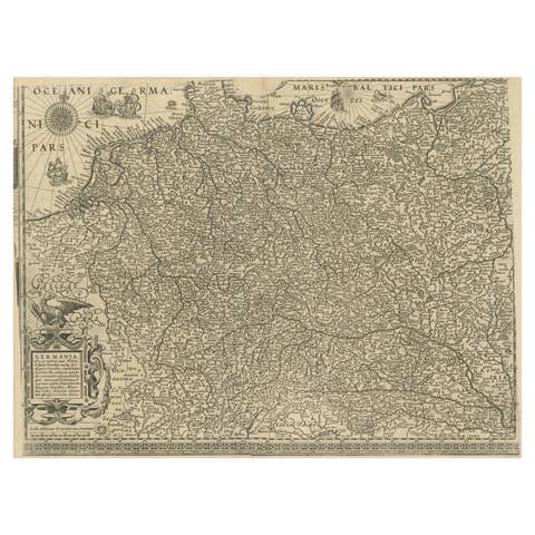
Antique Map of the German Empire with decorative Title Cartouche
€ 2 200
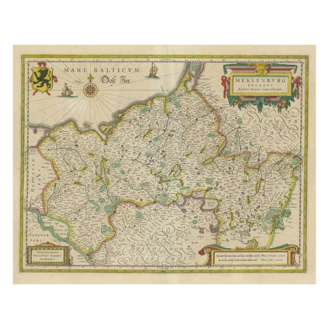
Antique Map of Northern Germany, showing the area of Mecklenburg-Vorpommern
€ 790
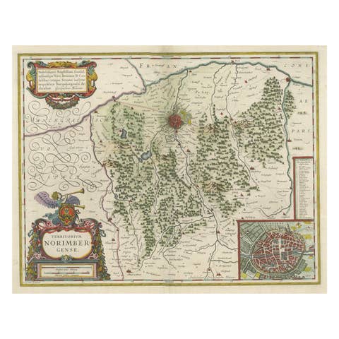
Antique Map centered on Nuremberg, Germany
€ 1 200

Original Hand-Colored Antique Map of Ancient Germany, circa 1630
1630 · € 840