Antique Engraved Map with Original Hand Color of French Guiana, 1876
€ 280
Original antique · The actual sheet photographed · Certificate of authenticity on request · Sold unframed · Worldwide shipping from € 15 (rates)
Date
1876
Sheet size
36.5 × 41.5 cm (14.4 × 16.3 in)
Condition
Good
Reference
BG-13093-35
What the condition grades mean
Excellent
Bright and clean, with no faults worth mentioning.
Very good
Only light signs of age, such as faint toning.
Good
Normal signs of age for a sheet of this period: toning, some foxing, small marks or neat old repairs.
Fair
Clear faults such as staining, tears or repairs, priced to match.
Every fault we see is written in the condition note, and the whole sheet is shown uncropped in the photos.
Condition
Good; suitable for framing. Some light spotting.This map was colored by hand at the time of publication. Virtually all antiquarian maps and prints are subject to some normal aging due to use and time which is not obtrusive unless otherwise stated.
About this sheet
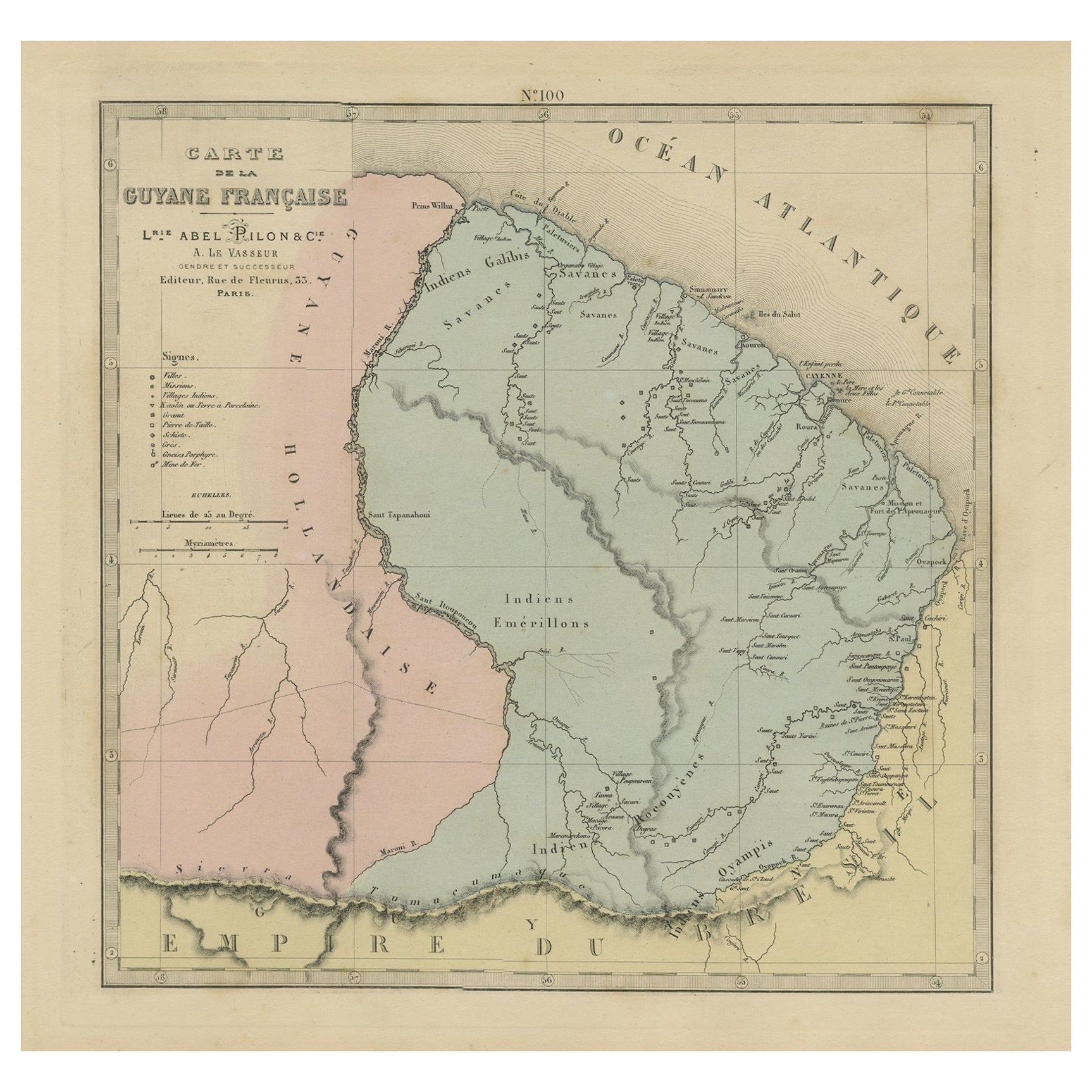
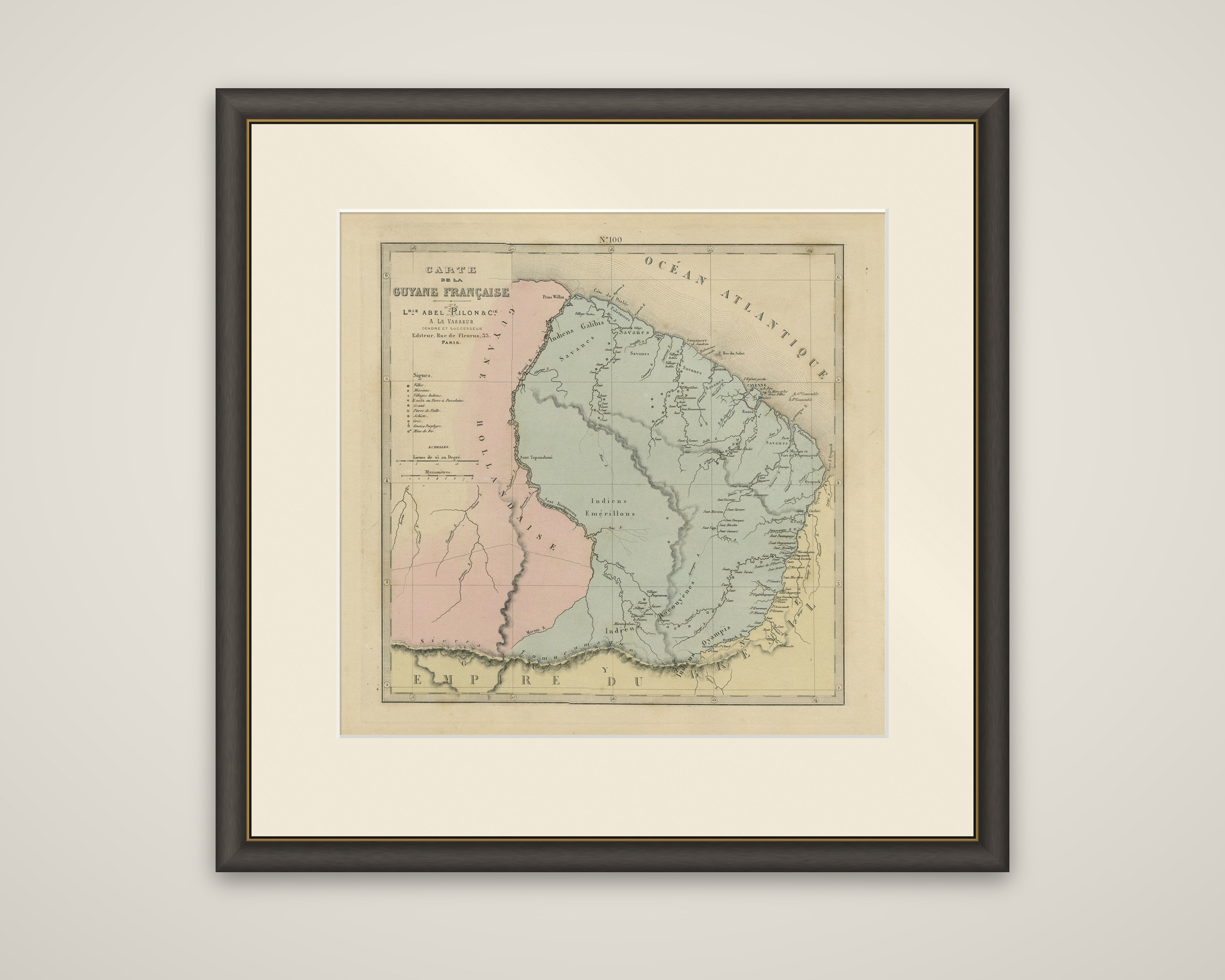
French Guiana in an original engraved map with hand color, from the Grand Atlas Departemental de la France, de l'Algerie et des colonies by H. Fisquet, published in Paris by A. Le Vasseur and Librairie Abel Pilon et Cie, 1876. The sheet is numbered "N 100" at the top and titled "Carte de la Guyane Francaise".
The colony is shown in blue-green, bounded to the west by the Maroni and the Dutch colony ("Guyane Hollandaise"), tinted pink, and to the south by the Tumuc-Humac range and the "Empire du Bresil", in yellow. The Atlantic coast is lettered "Ocean Atlantique", with Cayenne, the Oyapock and the Mana marked. Along the coast the map locates savannas, villages and missions, and the interior is lettered with the Indian peoples then charted there, including the Galibis, Emerillons and Oyampis. A table of conventional signs at upper left explains the symbols for towns, missions, Indian villages, sugar and porcelain works, mines and other sites, and a scale in leagues and myriameters is set below.
The atlas covered the departments of France as well as Algeria and the colonies, and the plate carries the Le Vasseur imprint "Editeur, Rue de Fleurus, 33, Paris".