Málaga 1901: A Cartographic Detailing of Andalusia's Coastal Jewel
€ 340
Original antique · The actual sheet photographed · Certificate of authenticity on request · Sold unframed · Worldwide shipping from € 15 (rates)
Date
1901
Sheet size
37.5 × 51 cm (14.8 × 20.1 in)
Condition
Good
Reference
BG-13642-28
What the condition grades mean
Excellent
Bright and clean, with no faults worth mentioning.
Very good
Only light signs of age, such as faint toning.
Good
Normal signs of age for a sheet of this period: toning, some foxing, small marks or neat old repairs.
Fair
Clear faults such as staining, tears or repairs, priced to match.
Every fault we see is written in the condition note, and the whole sheet is shown uncropped in the photos.
Condition
Good condition. Central vertical folding lines as issued. Aged paper with typically warm, yellowish-brown hue, especially around the edges. Check the images carefully.
About this sheet
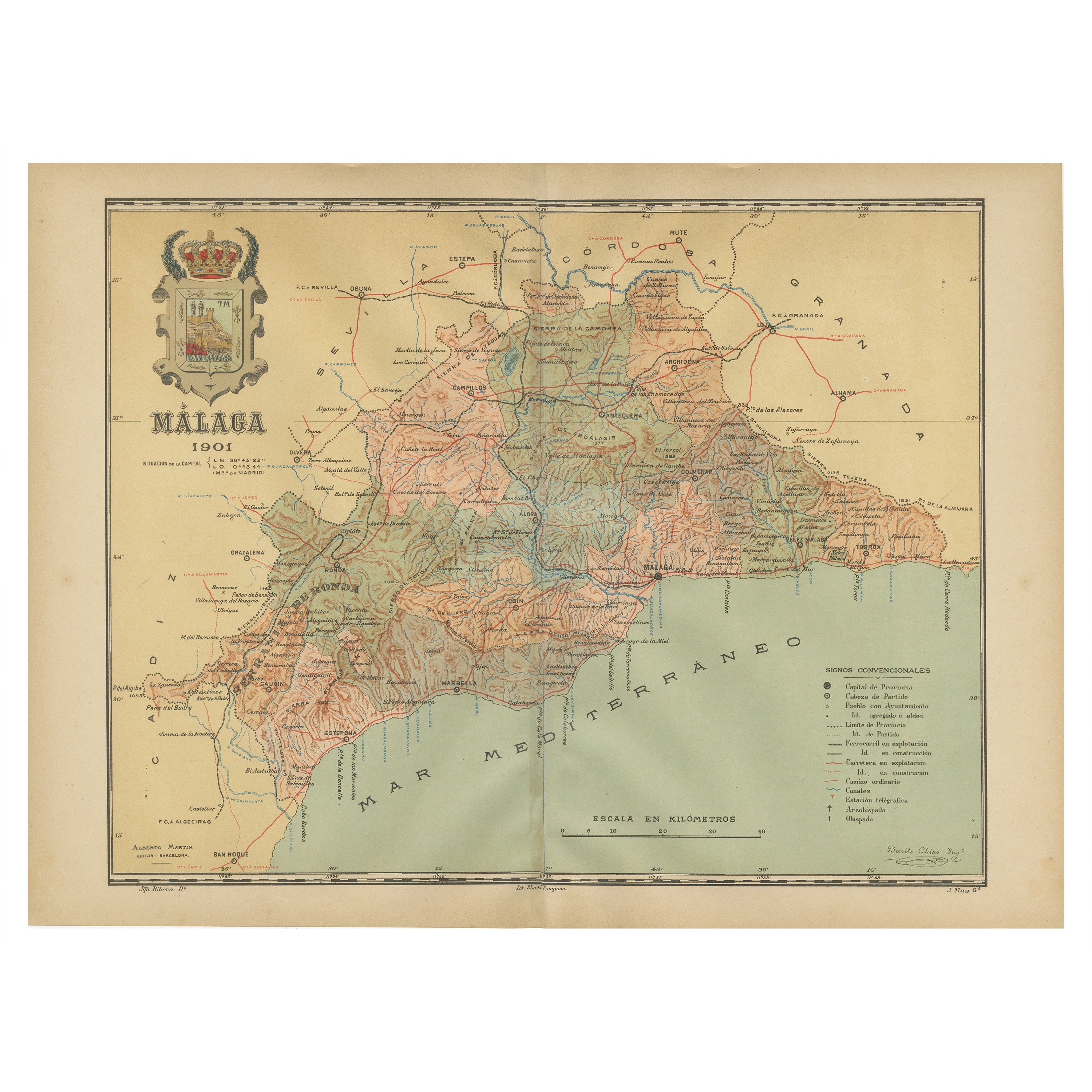
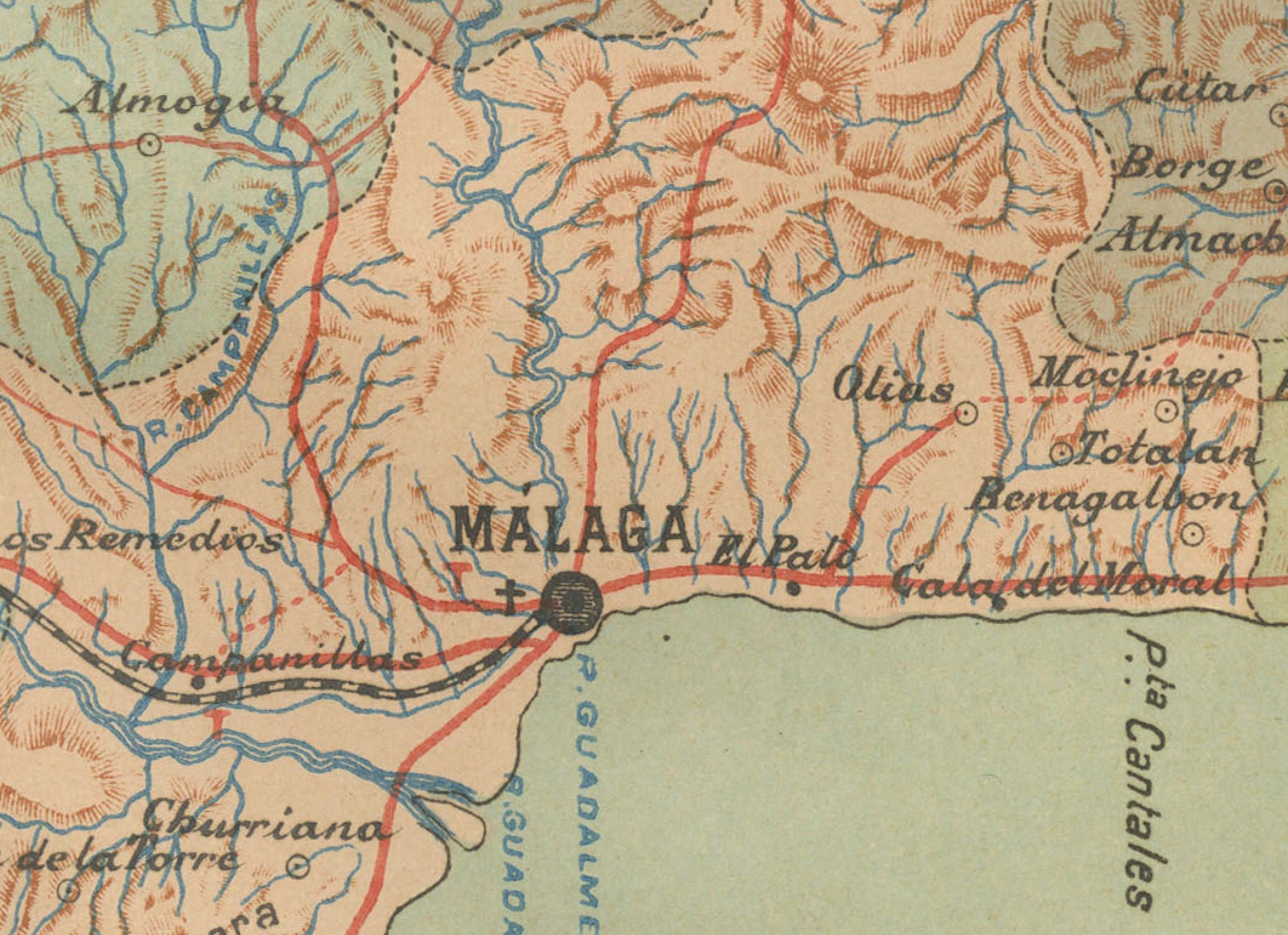
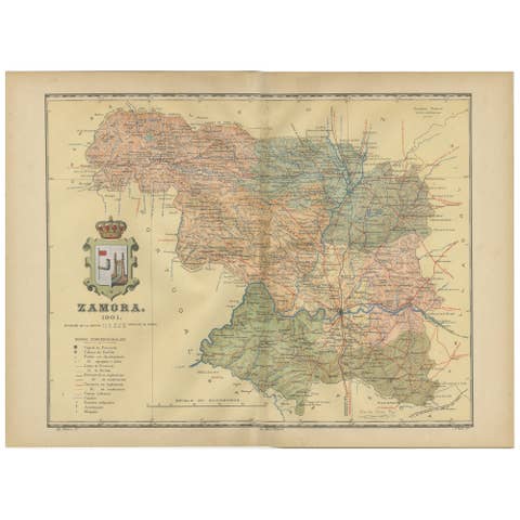
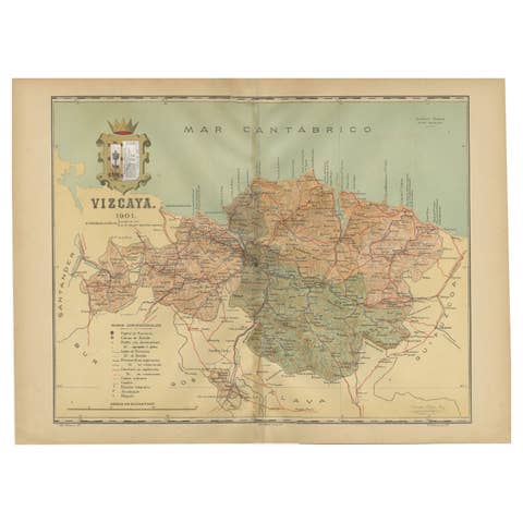
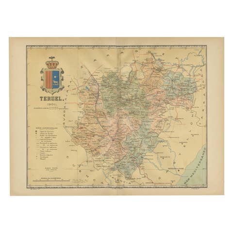
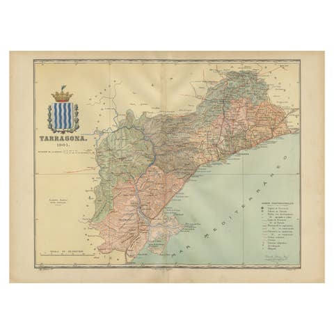
The map depicts the province of Málaga, located in the autonomous community of Andalusia in southern Spain, as it was in 1901. Here are the key features illustrated on the map:
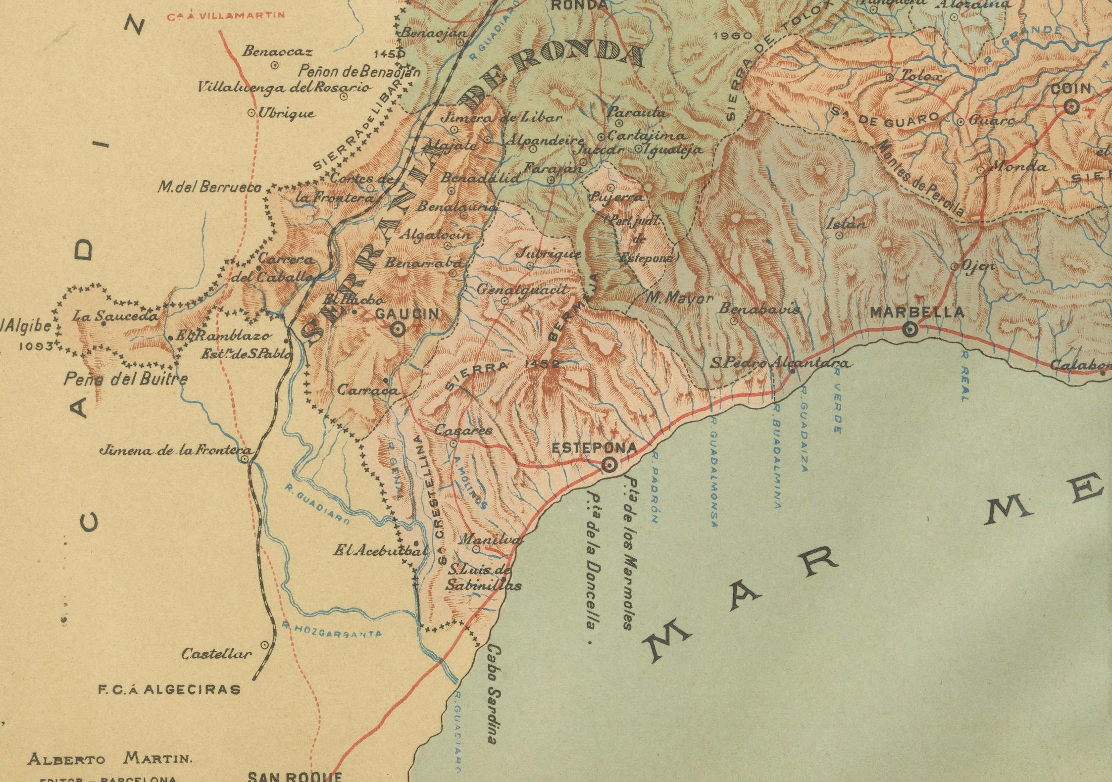
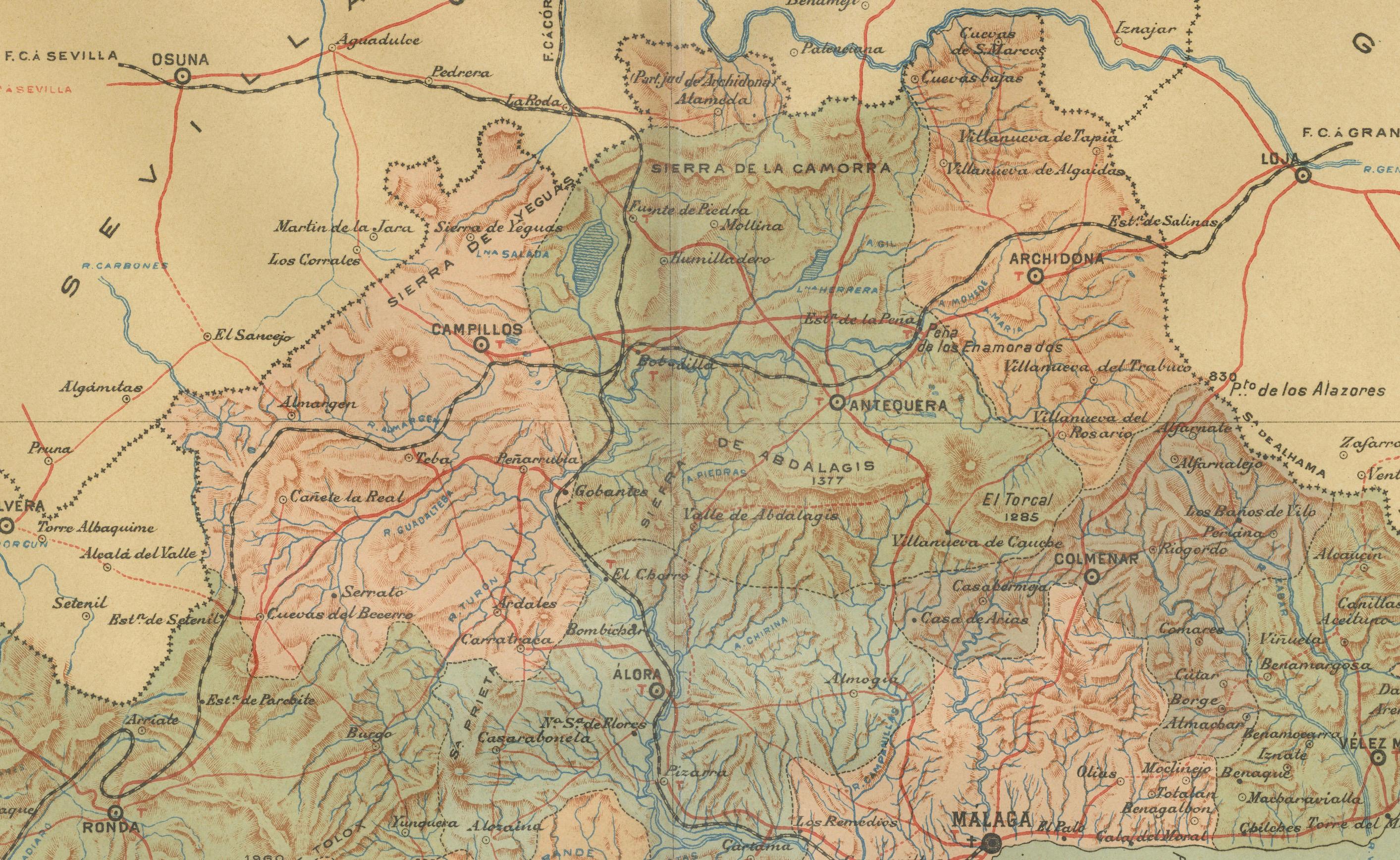
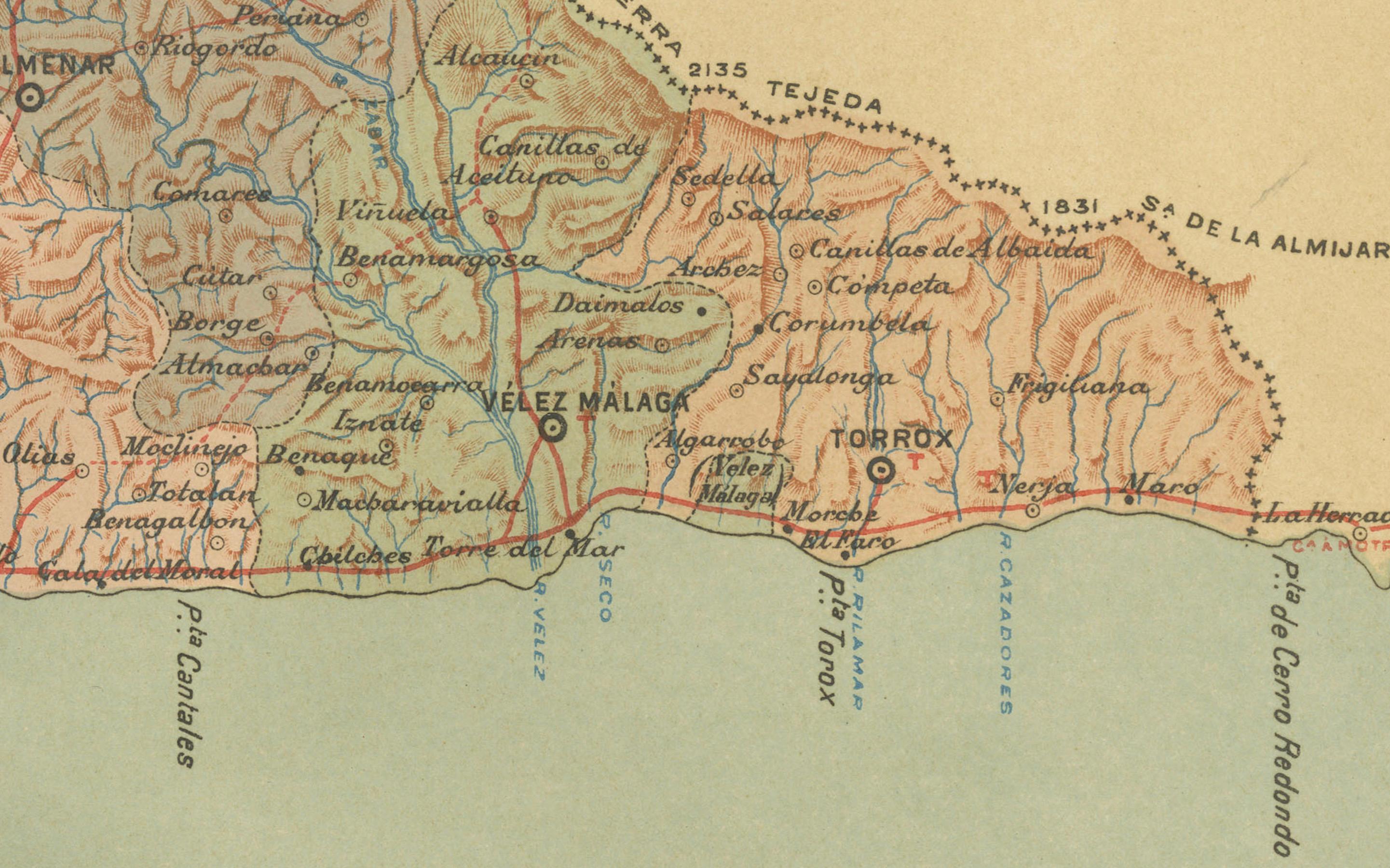
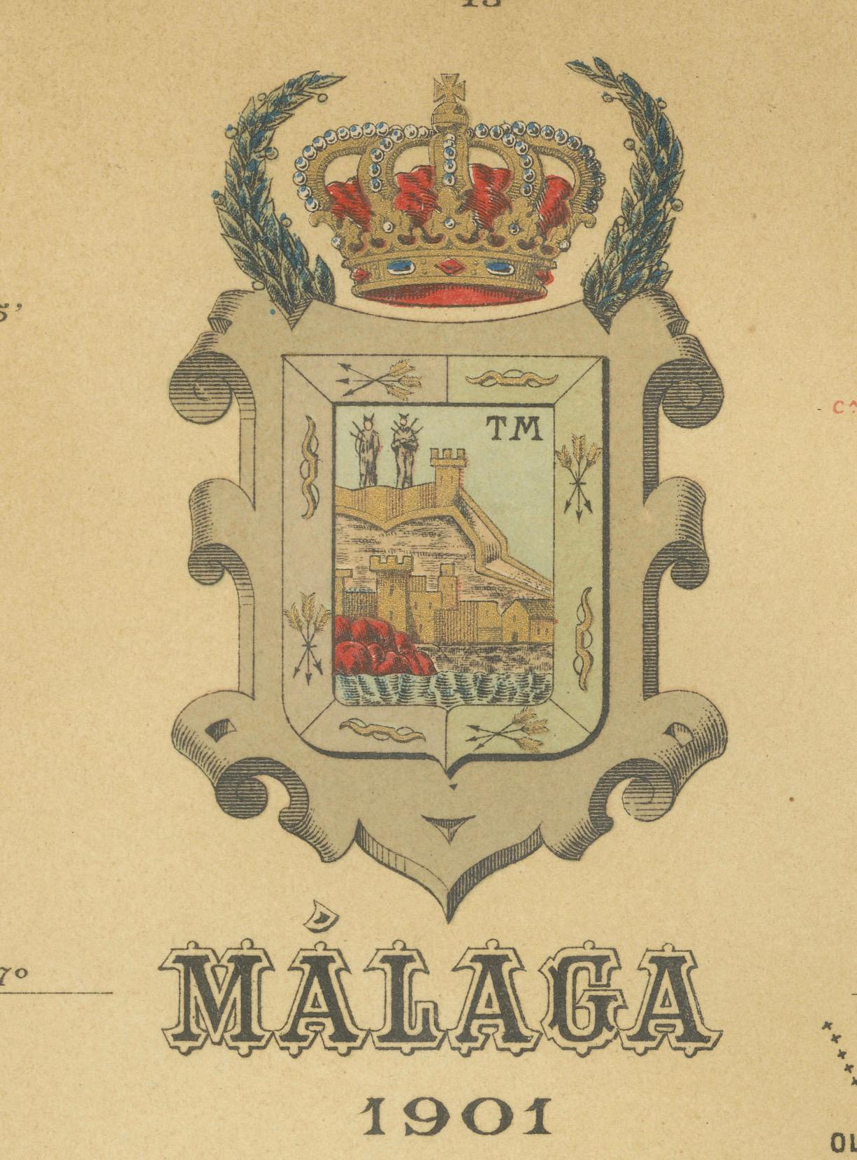
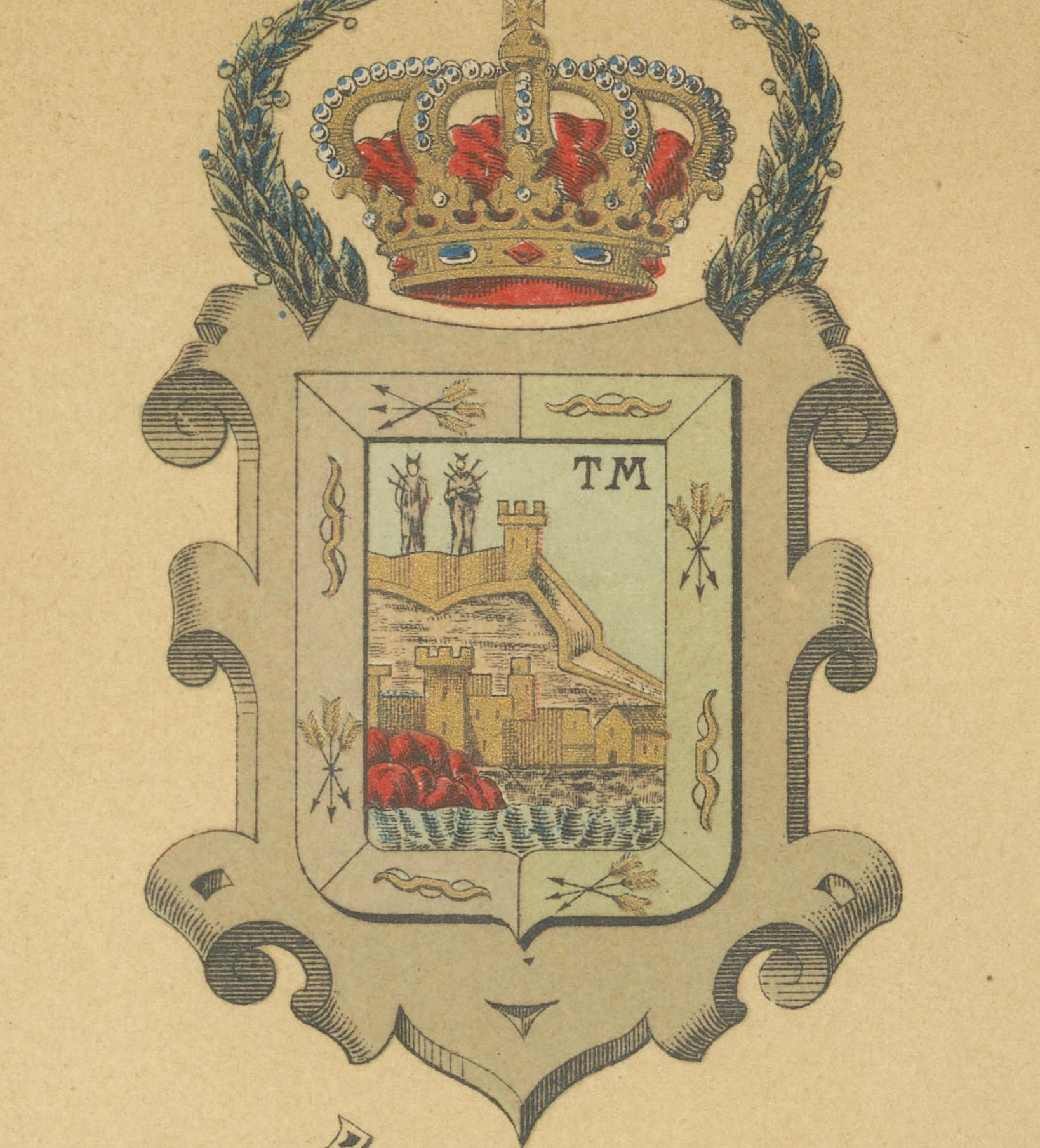
- **Topography**: The map highlights the mountainous regions of Málaga, including parts of the Montes de Málaga and the nearby Sierras, which are indicative of the province’s rugged terrain. - **Coastline**: The province's extensive Mediterranean coastline is prominently shown, which includes the famous Costa del Sol. - **Hydrography**: Blue lines represent rivers and water bodies, likely including the Guadalhorce river, which is one of the main rivers in the province. - **Transportation**: Red lines signify the roads and railways, showing the connections within Málaga and to other regions. - **Urban Centers**: Various symbols and labels denote the locations of cities, towns, and villages, with the capital, also named Málaga, marked as a significant urban center. - **Political Boundaries**: Dotted lines may delineate the administrative boundaries within the province. - **Legend**: The map contains a legend (Signos Convencionales) that explains the symbols used for provincial capitals, roads, railways, and other key landmarks. - **Scale**: A scale in kilometers at the bottom of the map provides a reference for distance measurements. - **Coat of Arms**: The coat of arms of Málaga, featuring the castle and the lion, is prominently displayed, symbolizing the province's historical and heraldic identity.
About the province of Málaga:
Málaga is known for its rich cultural history, being the birthplace of Pablo Picasso, and for its vibrant art scene, exemplified by numerous galleries and the famous Picasso Museum. The economy of Málaga is significantly supported by tourism, with millions of visitors drawn to its sunny beaches, resorts, and historical landmarks each year. The city of Málaga is also a major port and commercial hub on the Mediterranean. Apart from tourism, the province's agricultural sector is known for producing olives, almonds, and especially sweet wines. Málaga’s cuisine features seafood and local produce, with dishes like 'espetos' (sardines on a skewer) and 'gazpachuelo malagueño' (a mayonnaise-based fish soup).