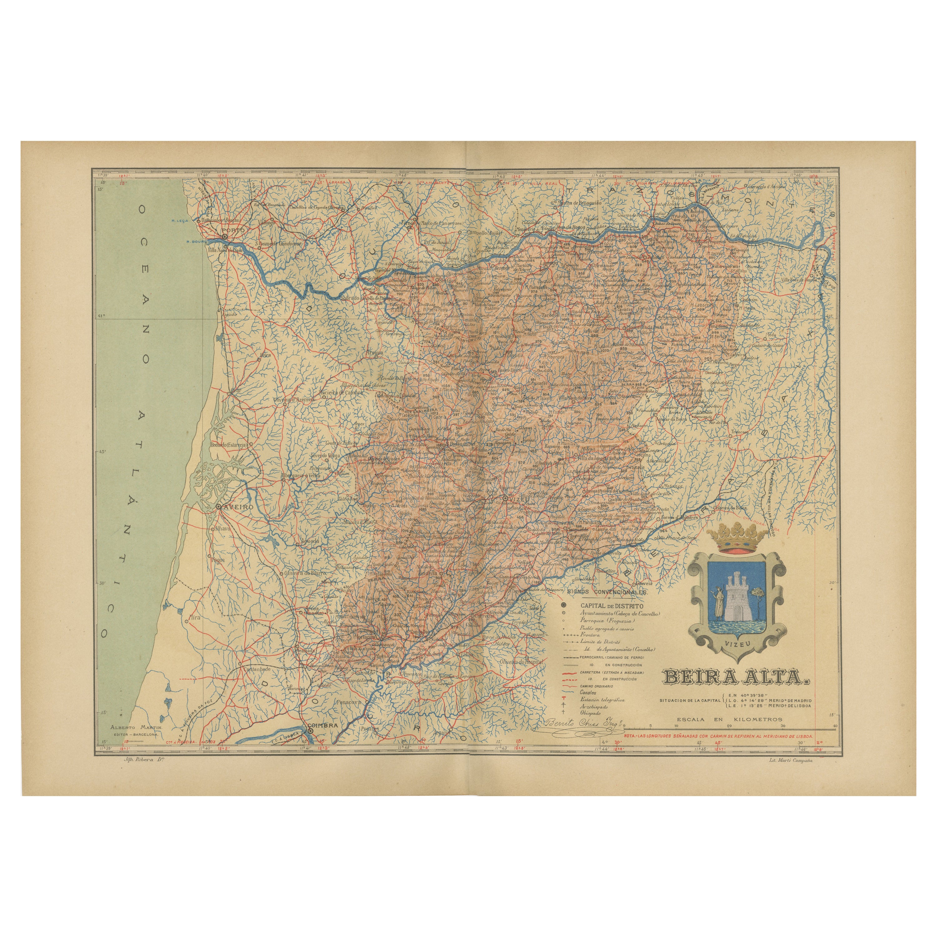
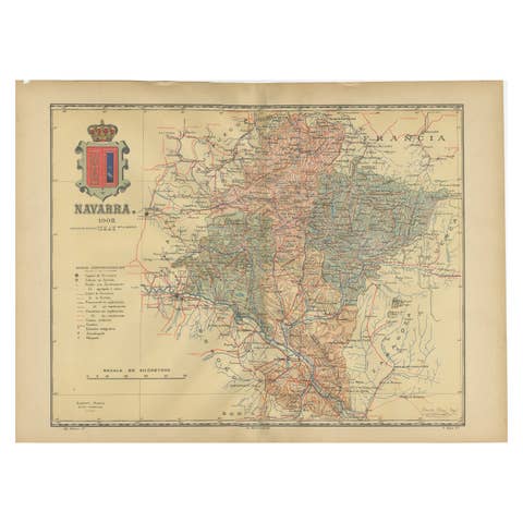
Beira Alta: A Cartographic Journey Through Portugal's Heartland in 1903
€ 290
One of a kind: this is the sheet in the photographs. Ships from Langweer, the Netherlands.
Date
1903
Sheet size
37.5 × 51 cm (14.8 × 20.1 in)
Condition
Good
Reference
BG-13642-60
Condition
Good condition. Central vertical folding lines as issued. Aged paper with typically warm, yellowish-brown hue, especially around the edges and folding lines, adding to its patina. Check the images carefully.
About this sheet
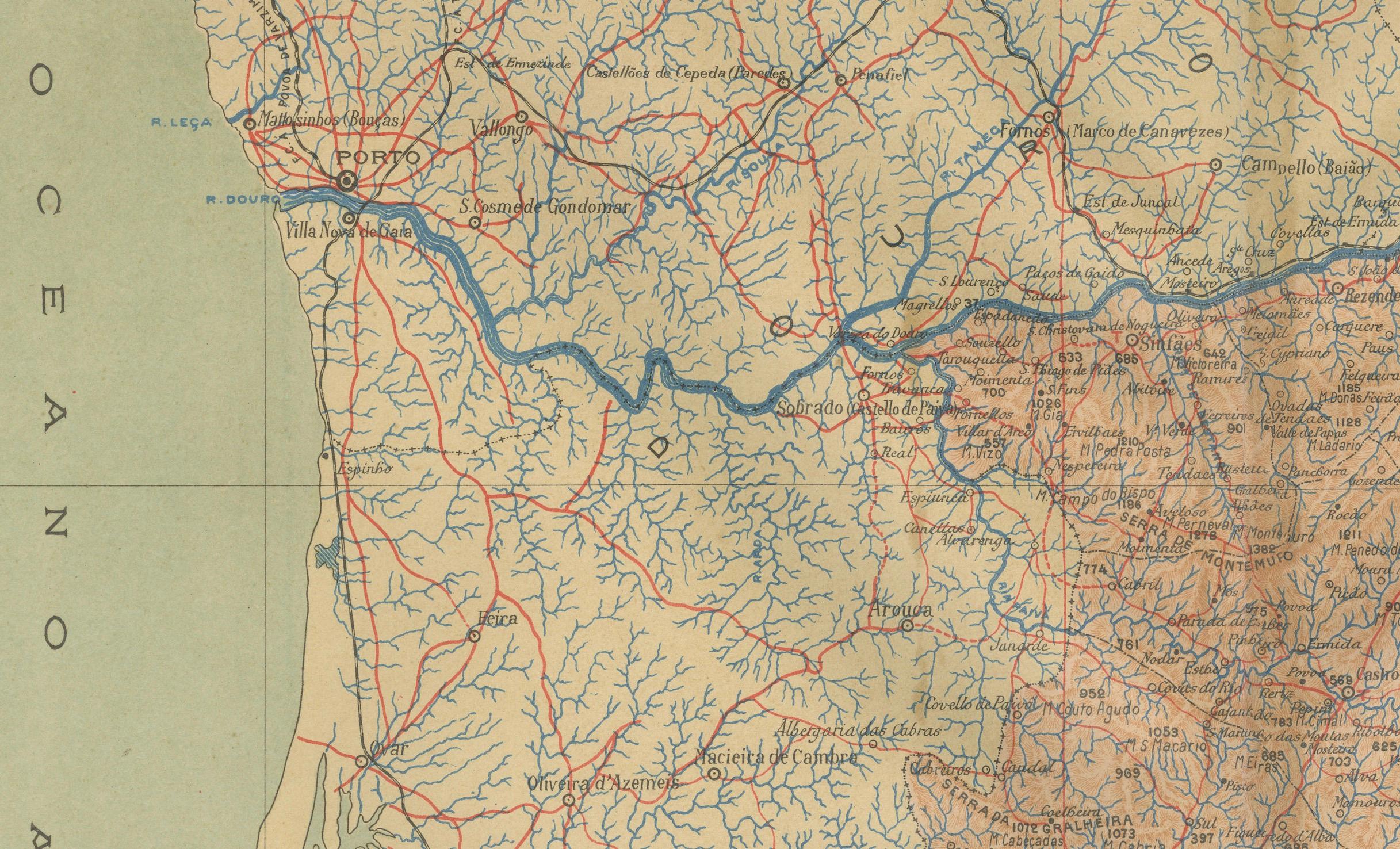
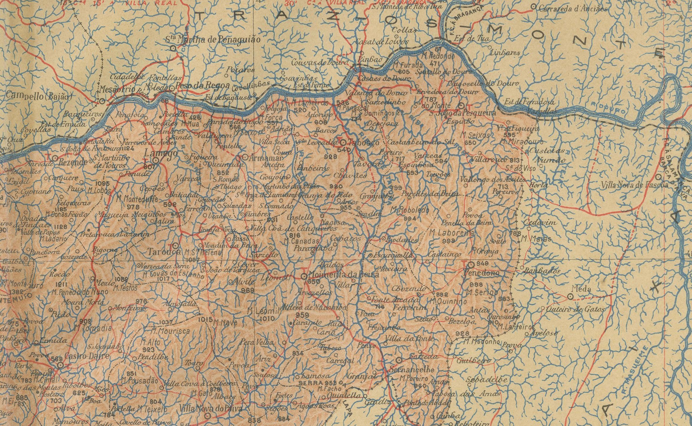
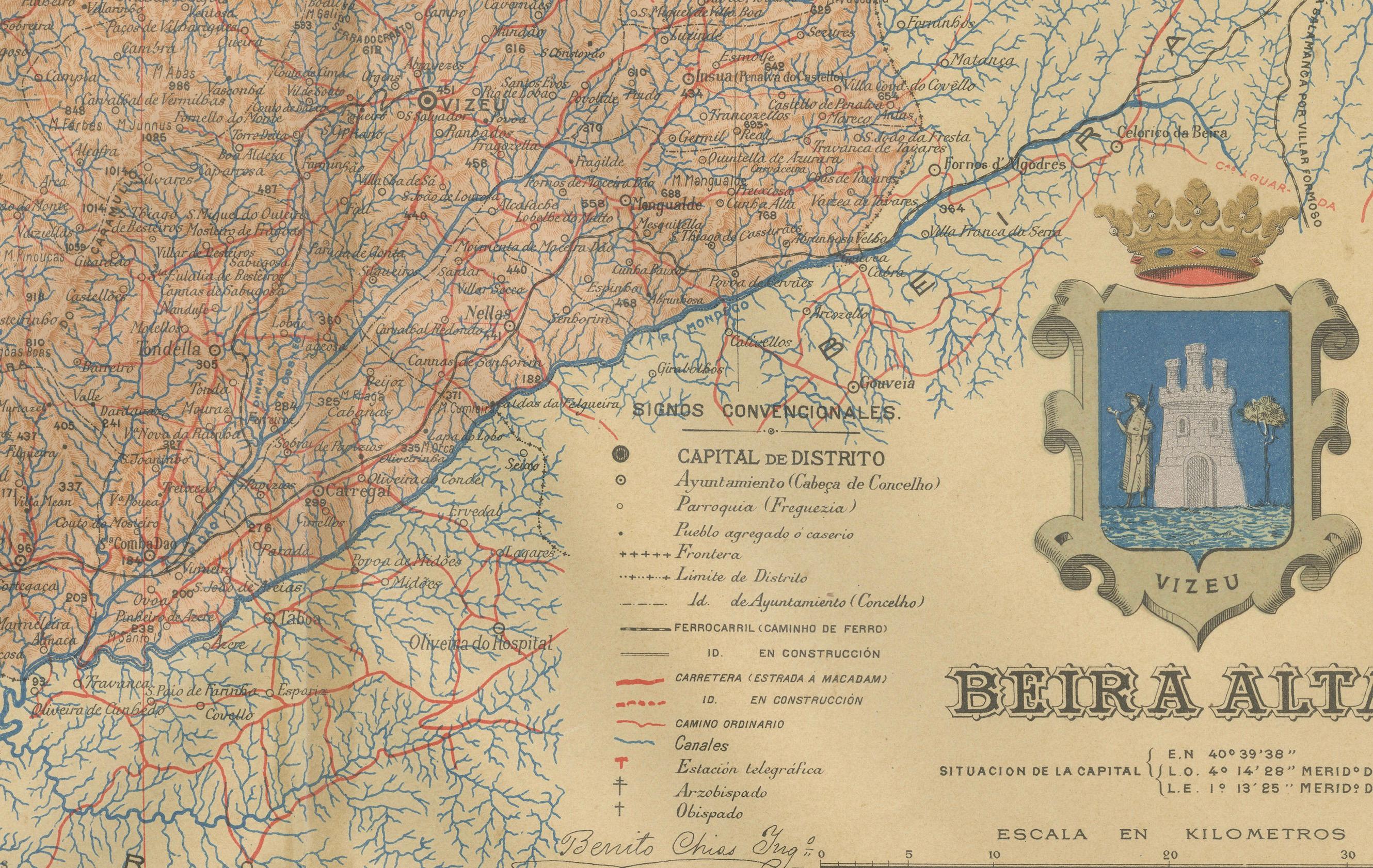
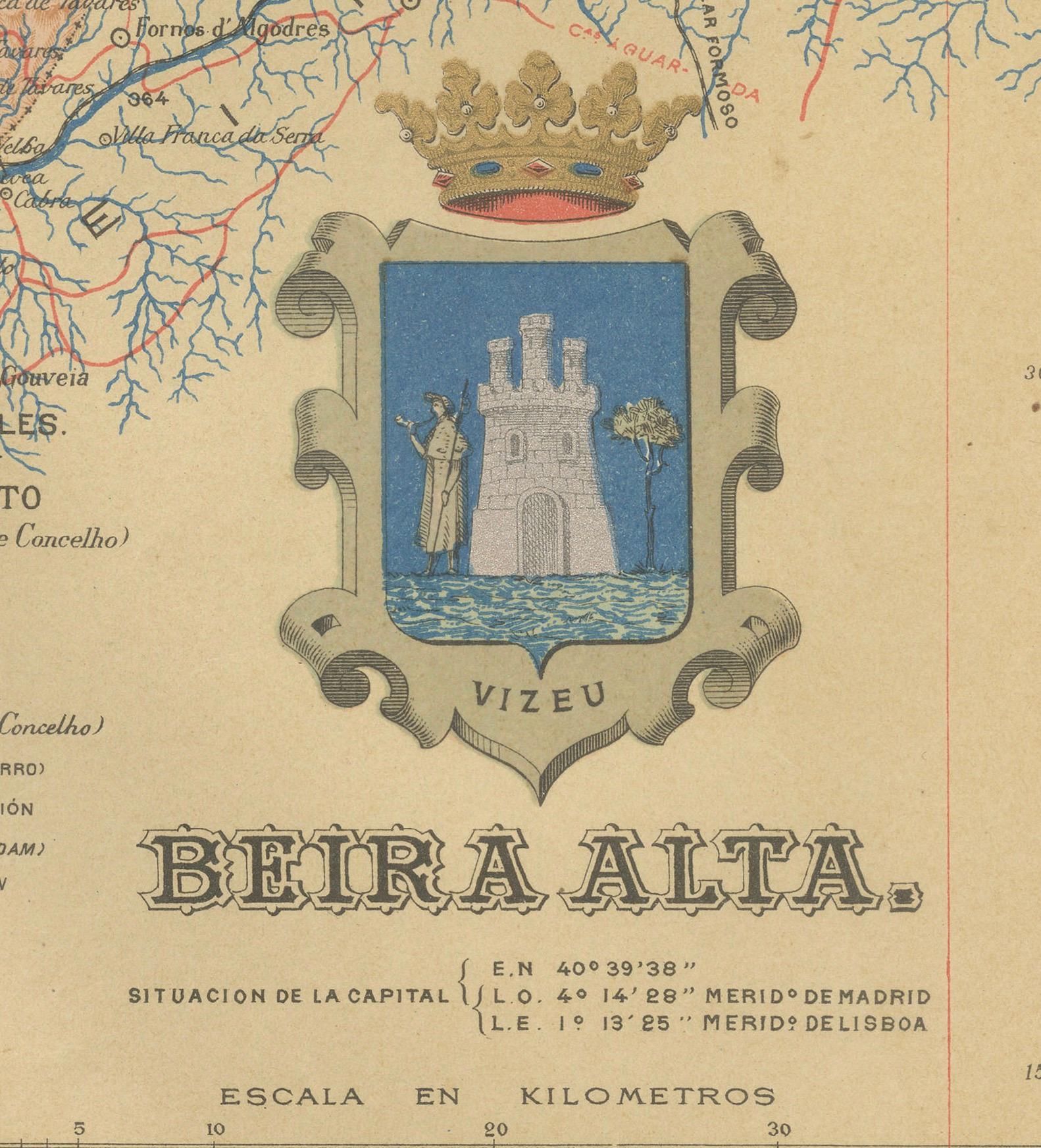
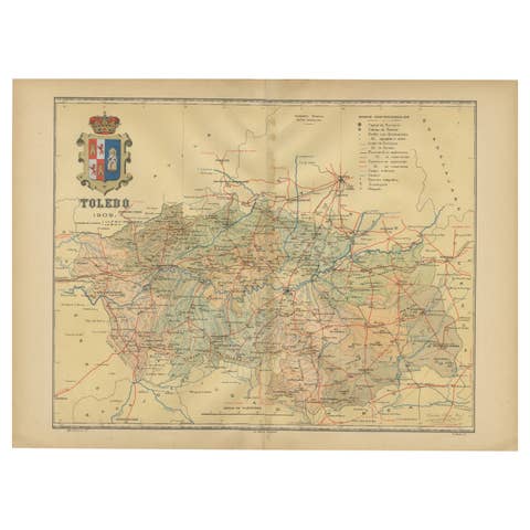
The uploaded image is a historical map of the Beira Alta region in Portugal. The map is detailed, showing the topography, hydrography, and transportation networks of the region, including railroads and roads. Beira Alta is located in the central-northern part of Portugal and is known for its mountainous landscapes, historical villages, and the city of Viseu, which is featured on the coat of arms on the map.
Beira Alta is special for several reasons:
1. **Natural Beauty**: The region is part of the Serra da Estrela Natural Park, which includes the highest mountain range in mainland Portugal. It's known for its picturesque landscapes, hiking trails, and ski resorts.
2. **Historical Sites**: Beira Alta is rich in historical and cultural heritage, with several castles, Romanesque churches, and ancient monuments dotting the landscape.
3. **Wine Production**: The region is part of the Dão wine region, producing some of Portugal's most esteemed wines.
4. **Culinary Traditions**: Beira Alta has a strong culinary tradition with distinctive dishes like Serra da Estrela cheese, a variety of sausages, and hearty stews.