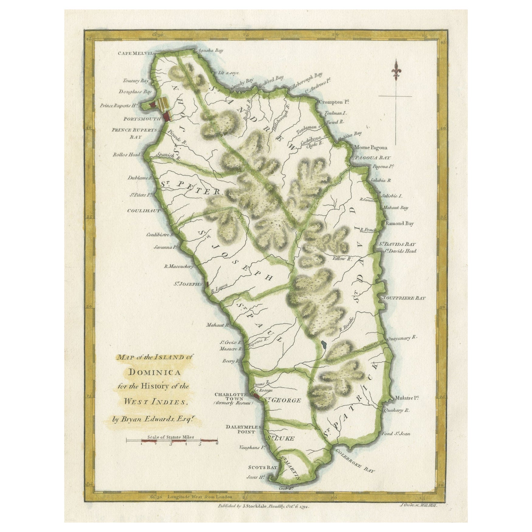
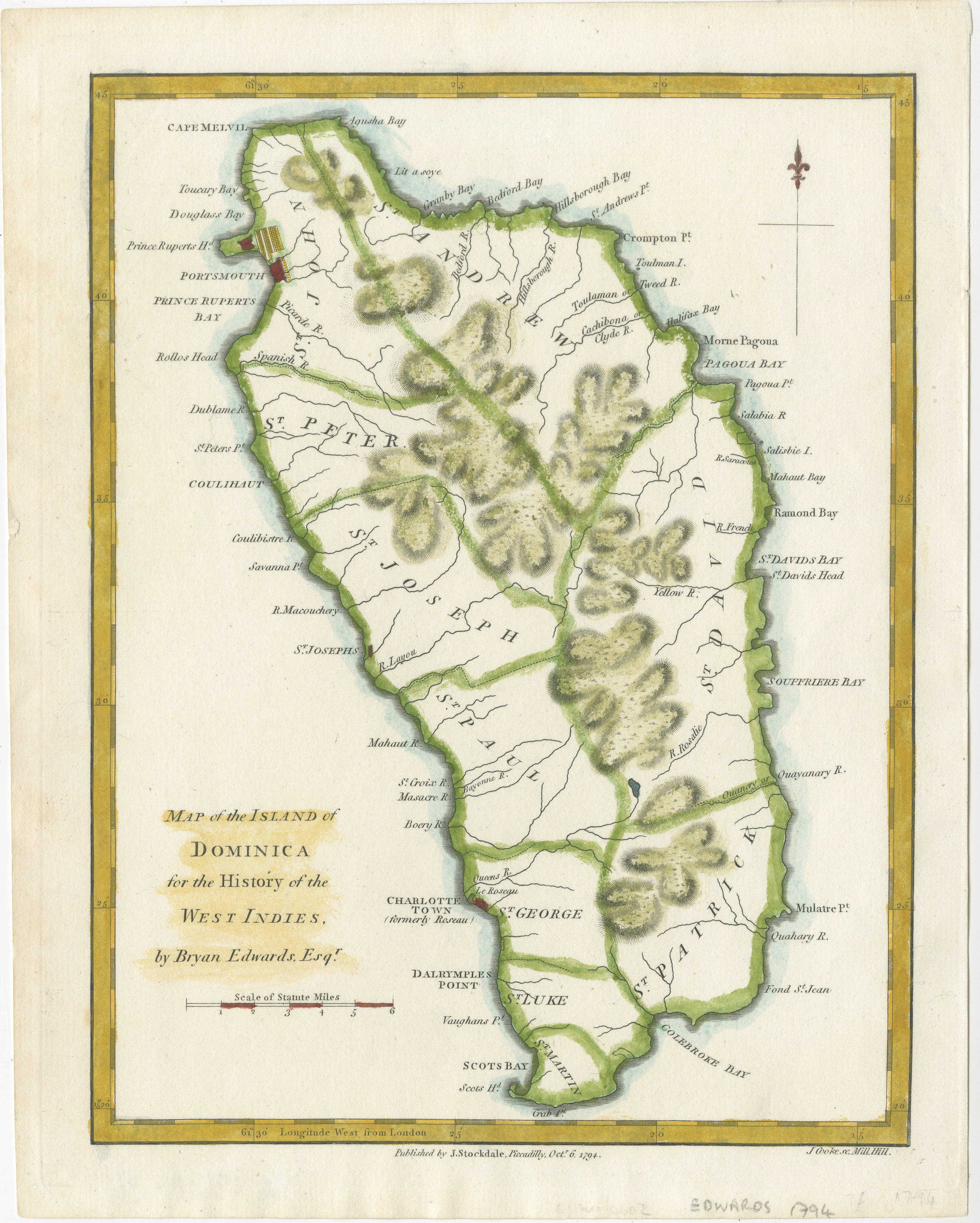
Original Antique Map of the Island of Dominica in the West Indies, 1794
€ 240
One of a kind: this is the sheet in the photographs. Ships from Langweer, the Netherlands.
Date
1794
Sheet size
26.5 × 20 cm (10.4 × 7.9 in)
Condition
Good
Reference
BG-13618-36
Condition
This map is in very good condition and attractively colored. Blanco reverse. Study the image carefully.
About this sheet
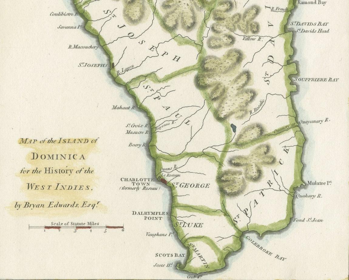
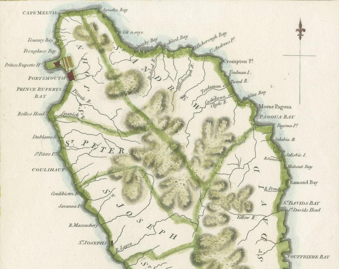
MAP OF THE ISLAND OF DOMINICA for the History of the West Indies, by Bryan Edwards. Esq.
Dominica, an island renowned for its lucrative exports of sugar, cocoa, and coffee, operated on a thriving but deeply troubling slave-based economy during the 17th to 19th centuries. The continuous struggle for dominance between the French and British resulted in the island changing ownership at least four times during this period. This historical tug-of-war is reflected in the map's place names, which bear witness to both French and English influences.
Published in London in 1794 by John Stockdale, this map was a component of Bryan Edwards’ “History of the West Indies.” The publication chronicled the complex historical narratives and socio-economic dynamics of the Caribbean region. Remarkably, the very year following the map's issuance, the French made another unsuccessful attempt to invade the island, further cementing Dominica's place as a strategic and contested territory in the Caribbean theater of colonial powers. This map stands as both a historical artifact and a representation of the island's significance amid the enduring conflicts between European nations vying for control and economic supremacy in the West Indies.