Imperial Frontiers: A 19th Century Map of Southern Russia and the Caucasus, 1882
€ 270
One of a kind: this is the sheet in the photographs. Ships from Langweer, the Netherlands.
Date
1882
Sheet size
38 × 57 cm (15.0 × 22.4 in)
Condition
Good
Reference
BG-13601-2-35
Condition
Good condition, folding line in the middle. The outer borders are slightly discolored due to age, but not the image. This map is ideal for framing. Study the image carefully.
About this sheet
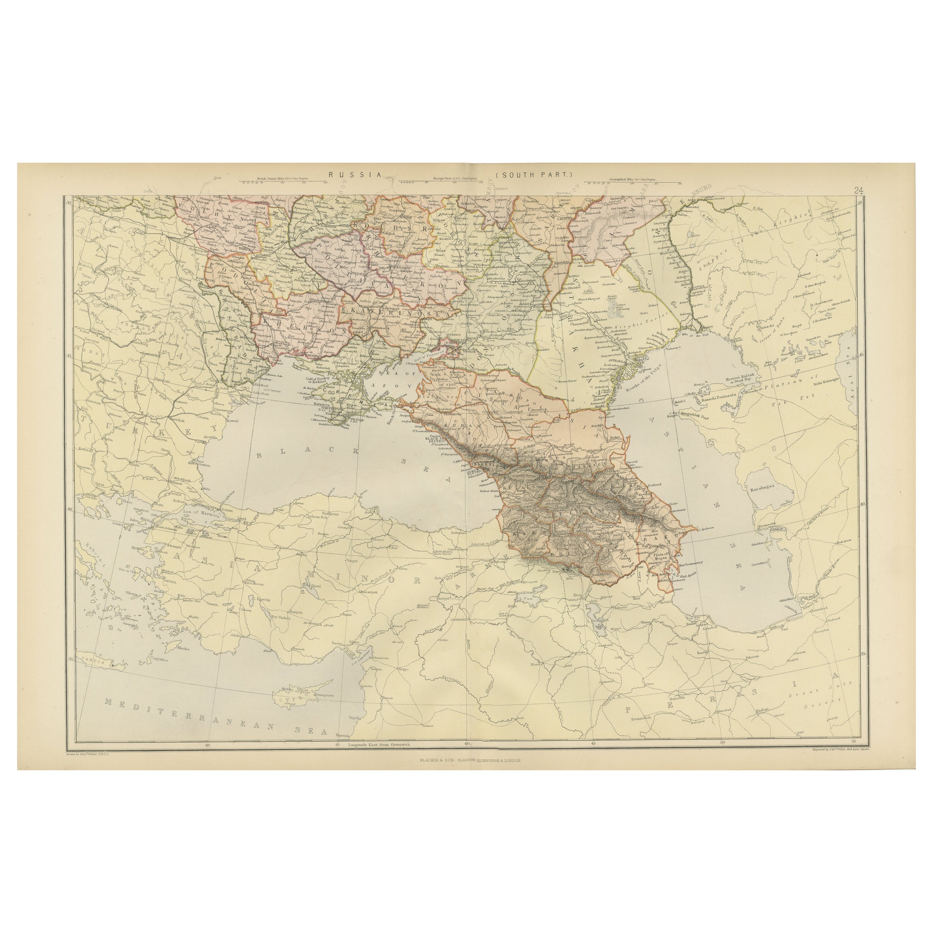
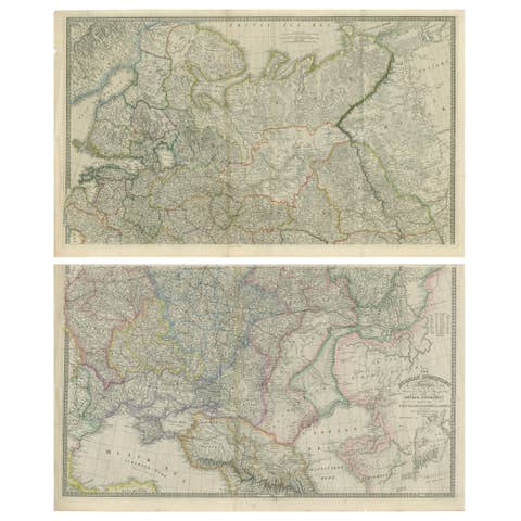
This map, sourced from the comprehensive 1882 atlas by Blackie & Son, delineates the southern part of Russia and the Caucasus region, reflecting the geopolitical contours and topographical details of the area as known in the late 19th century.
The map extends from the Black Sea to the west, across the Caucasus mountain range, and into the Caspian Sea to the east. The intricacies of the Caucasus, a region known for its complex geography and diversity of peoples, are finely etched into the map. The region's rugged terrain is represented through hachure marks, illustrating the stark relief and the formidable natural barriers that have historically made this area a crossroads of various empires and cultures.
Provincial boundaries within the Russian Empire are outlined and shaded with different colors, offering a clear distinction between the various administrative divisions. This includes the territories that would later become nations such as Georgia, Armenia, and Azerbaijan. Major cities, rivers, and the network of roads and passes that were crucial for trade and military movements are also noted with precision.
To the south, the map also encompasses parts of the Ottoman Empire and Persia (modern-day Turkey and Iran), providing a broader context for the strategic importance of the Caucasus as a buffer zone between the great powers of the time.
This map would have been a valuable resource for understanding the complex political and physical landscape of the region. It serves as a historical document, capturing the imperial dynamics of the era and the meticulous detail that went into the cartographic endeavors of the period.