León 1903: A Cartographic Detailing of Castilla y León's Mountainous Province
€ 290
Original antique · The actual sheet photographed · Certificate of authenticity on request · Sold unframed · Worldwide shipping from € 15 (rates)
Date
1903
Sheet size
37.5 × 51 cm (14.8 × 20.1 in)
Condition
Good
Reference
BG-13642-23
What the condition grades mean
Excellent
Bright and clean, with no faults worth mentioning.
Very good
Only light signs of age, such as faint toning.
Good
Normal signs of age for a sheet of this period: toning, some foxing, small marks or neat old repairs.
Fair
Clear faults such as staining, tears or repairs, priced to match.
Every fault we see is written in the condition note, and the whole sheet is shown uncropped in the photos.
Condition
Good condition. Central vertical folding lines as issued. Aged paper with typically warm, yellowish-brown hue, especially around the edges. Check the images carefully.
About this sheet
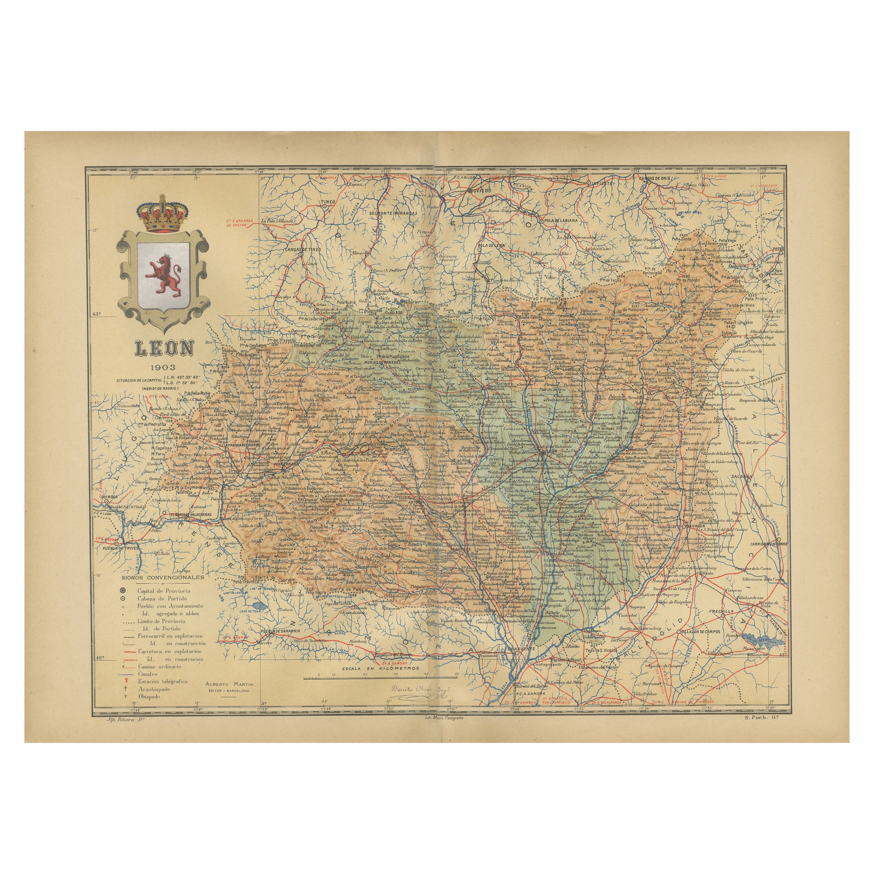
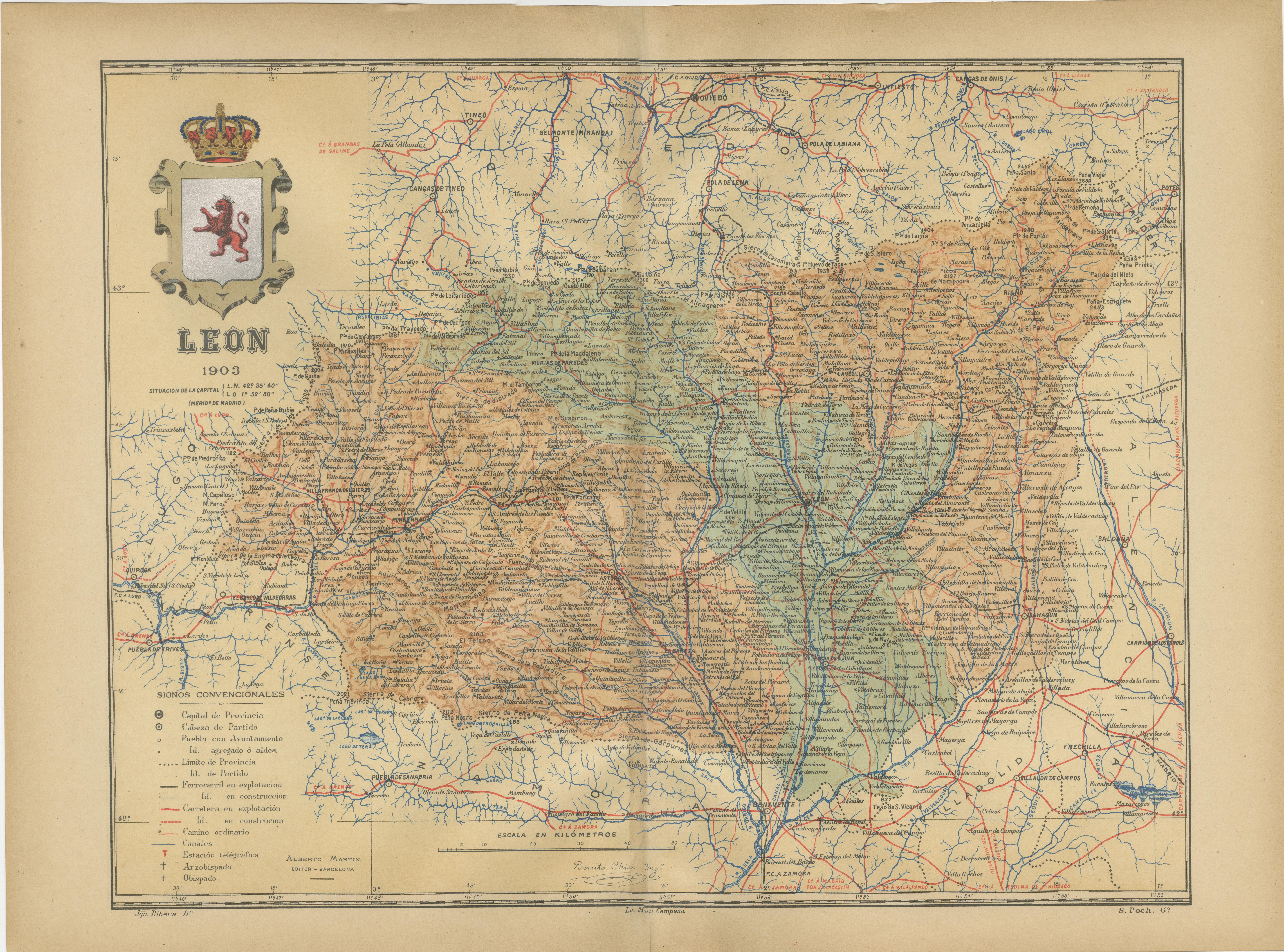
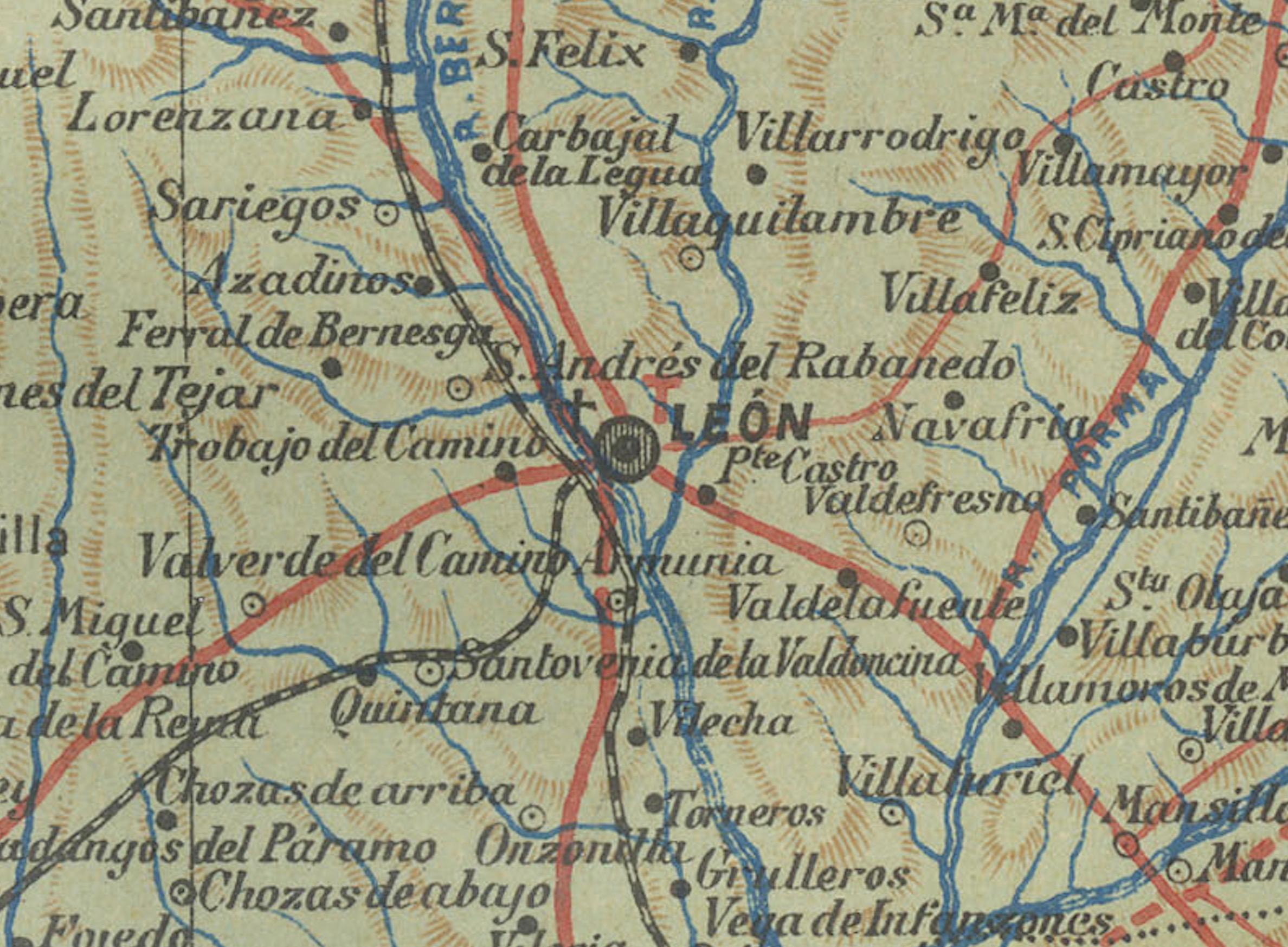
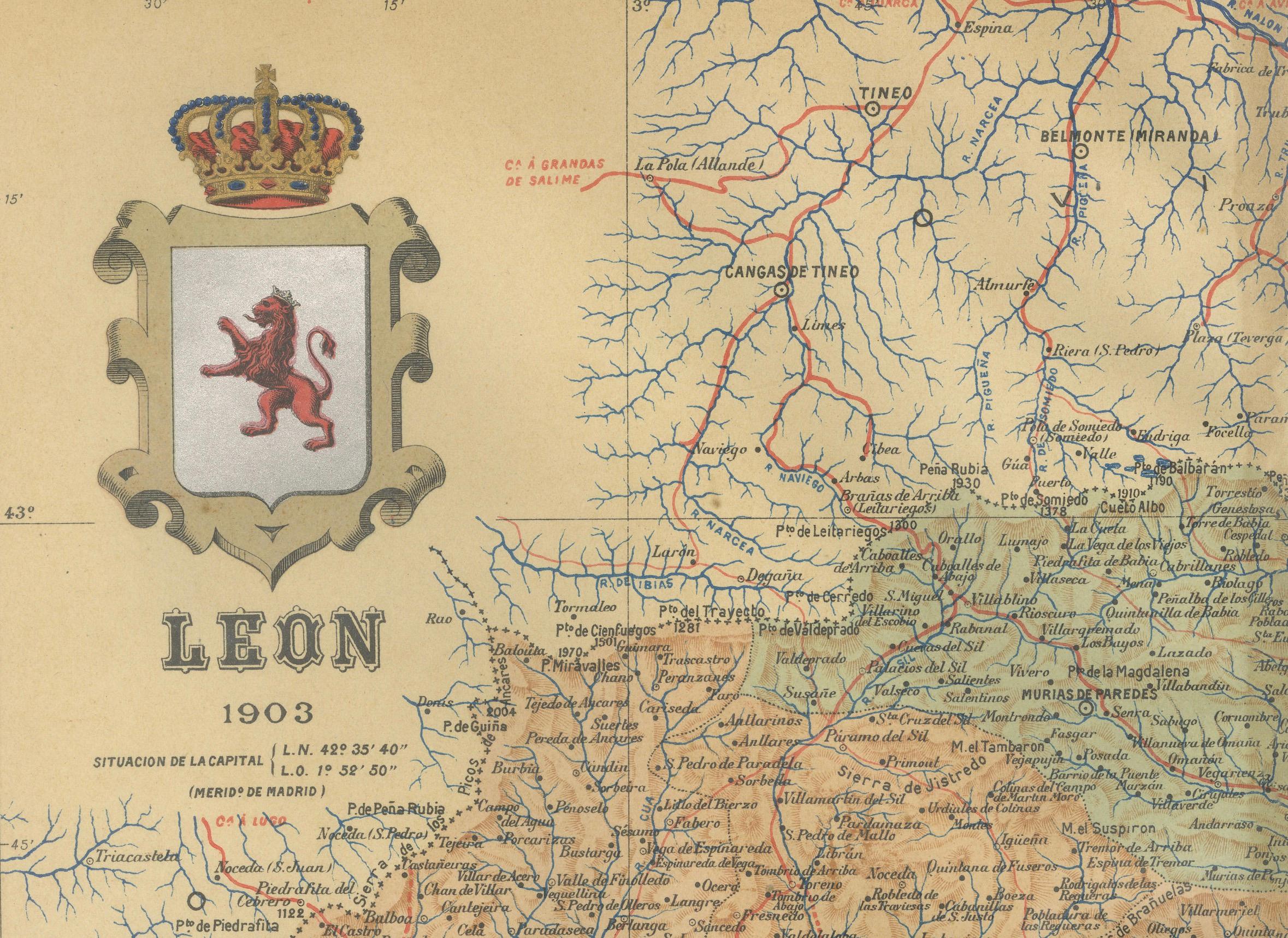
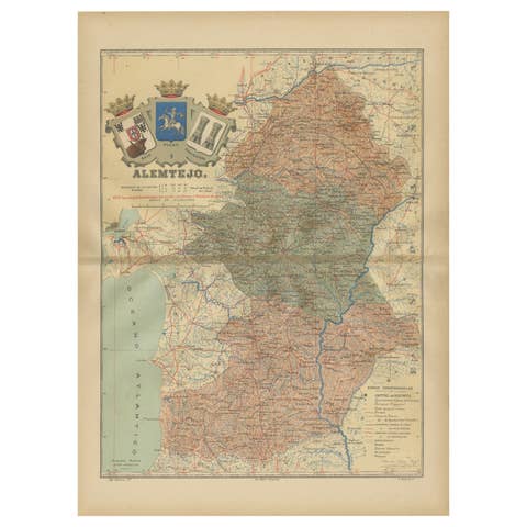
The map depicts the province of León, which is located in the northwest of Spain and forms part of the autonomous community of Castilla y León, as of 1903. Notable features of the map include:
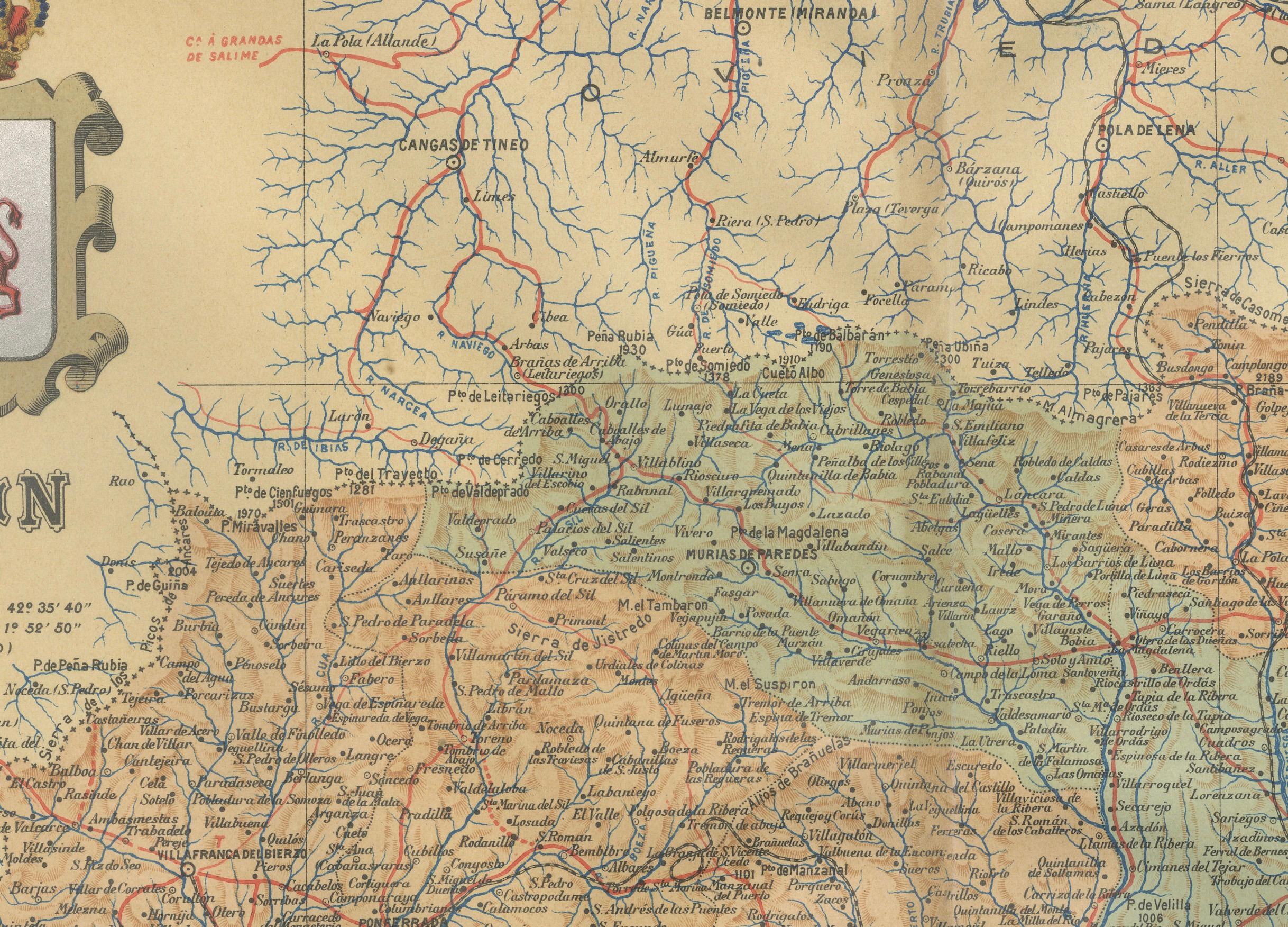
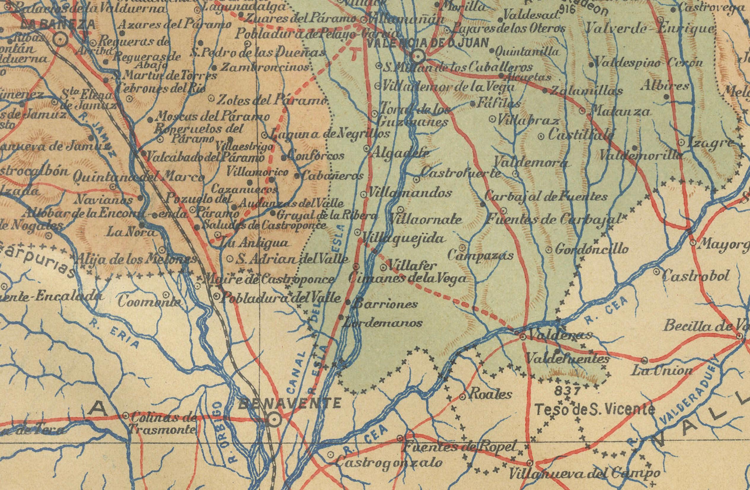
- **Topography**: The province's varied landscape is evident, with significant mountain ranges such as the Cantabrian Mountains to the north and the Leonese Sierra to the south. - **Hydrography**: Blue lines on the map likely represent the network of rivers, including the Esla, Órbigo, and Bernesga, which are prominent watercourses in the province. - **Transportation**: Red lines indicate the road and railway networks, reflecting the infrastructure that connects León's towns and cities both within the province and beyond. - **Urban Areas**: Various symbols mark the locations of cities, towns, and villages, with the capital city of León likely given prominence. - **Political Boundaries**: Dotted lines may delineate the administrative boundaries within the province. - **Legend**: There is a legend (Signos Convencionales) detailing the symbols used for provincial capitals, roads, railways, and other landmarks. - **Scale**: The map includes a scale in kilometers, allowing for the estimation of distances between different points. - **Coat of Arms**: The coat of arms of León is featured prominently, displaying traditional heraldic symbols associated with the province's historical identity.
About the province of León:
León is known for its rich historical heritage, which includes significant Roman and medieval landmarks. The province's capital, León, is home to the Gothic León Cathedral, known for its beautiful stained glass windows, and the Basilica of San Isidoro, which houses royal tombs and ancient frescoes. The region is also known for the Camino de Santiago pilgrimage route. León's economy has historically been based on mining and agriculture, with a particular emphasis on coal and the production of wine, especially in the Bierzo region. The province's cuisine includes specialties such as cecina (cured, smoked beef) and botillo (a dish made from various cuts of pork). The landscape of León is diverse, featuring picturesque valleys, extensive plains, and portions of the Picos de Europa National Park.