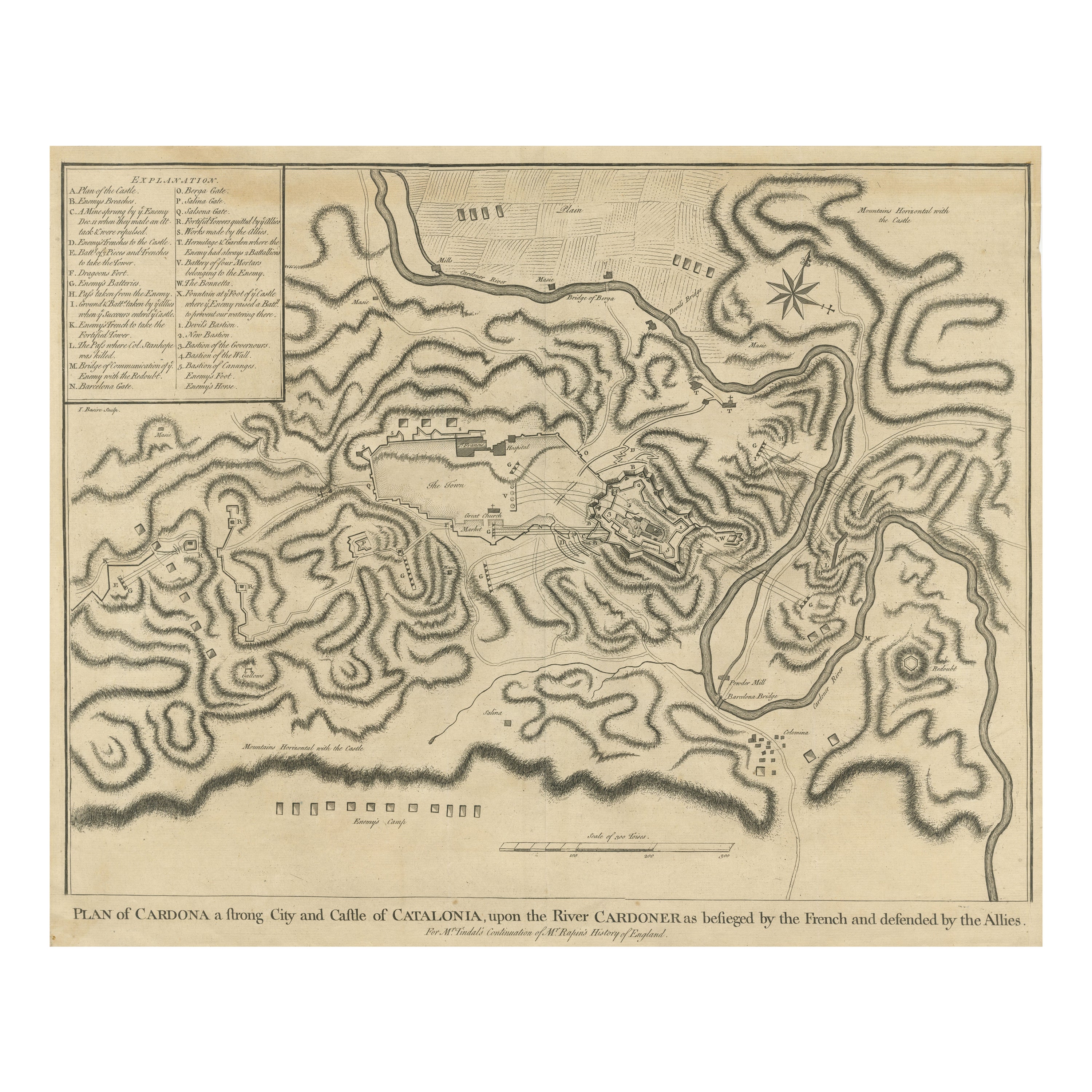
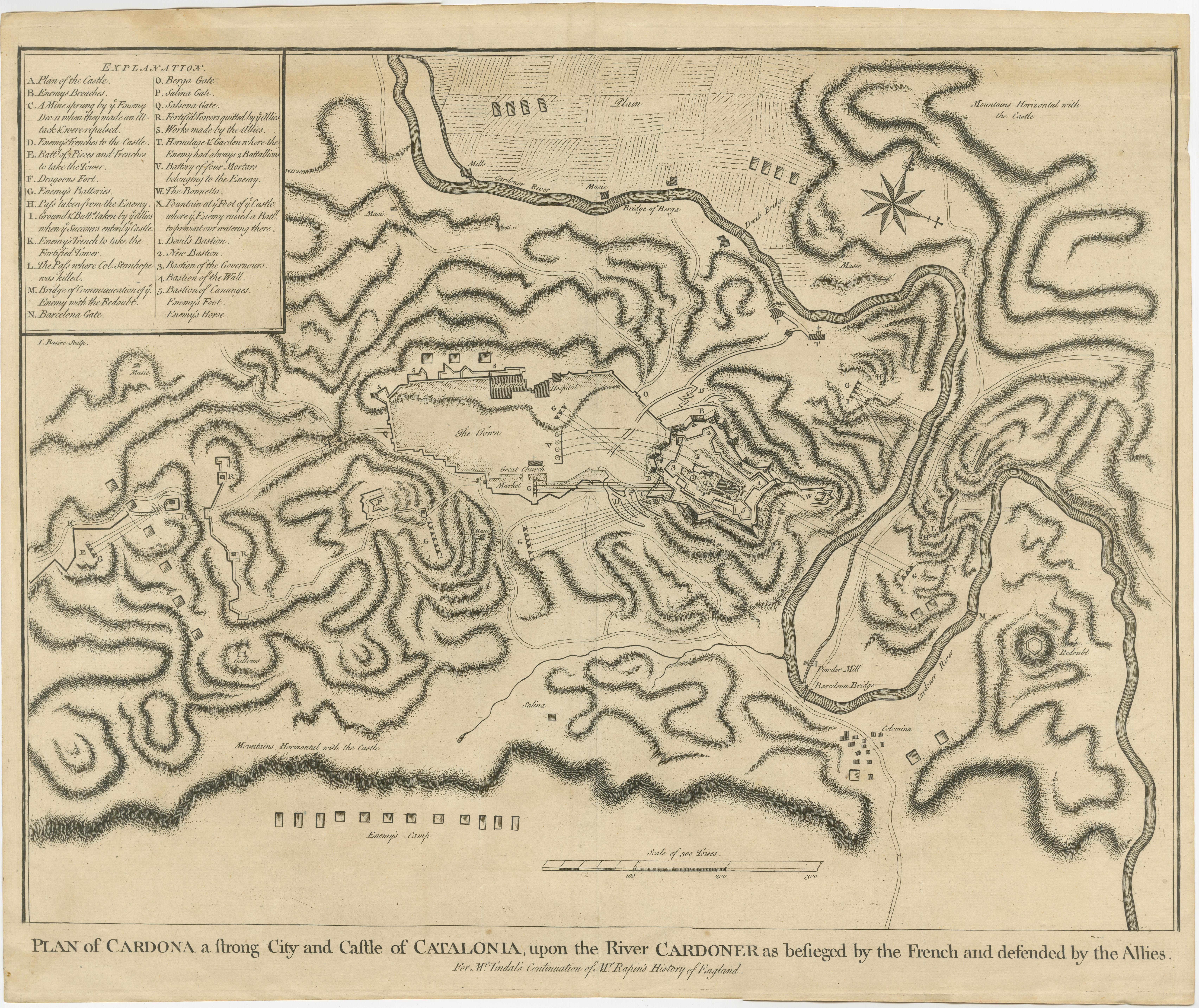
Antique Plan of the Siege of the Castle of Cardona in 1714
€ 340
One of a kind: this is the sheet in the photographs. Ships from Langweer, the Netherlands.
Date
1714
Sheet size
39.8 × 48 cm (15.7 × 18.9 in)
Condition
Fair
Reference
BG-13432-5
Condition
Age-related toning. Original folding line. Shows some wear, soiling and staining. Blank verso. Please study image carefully.
About this sheet
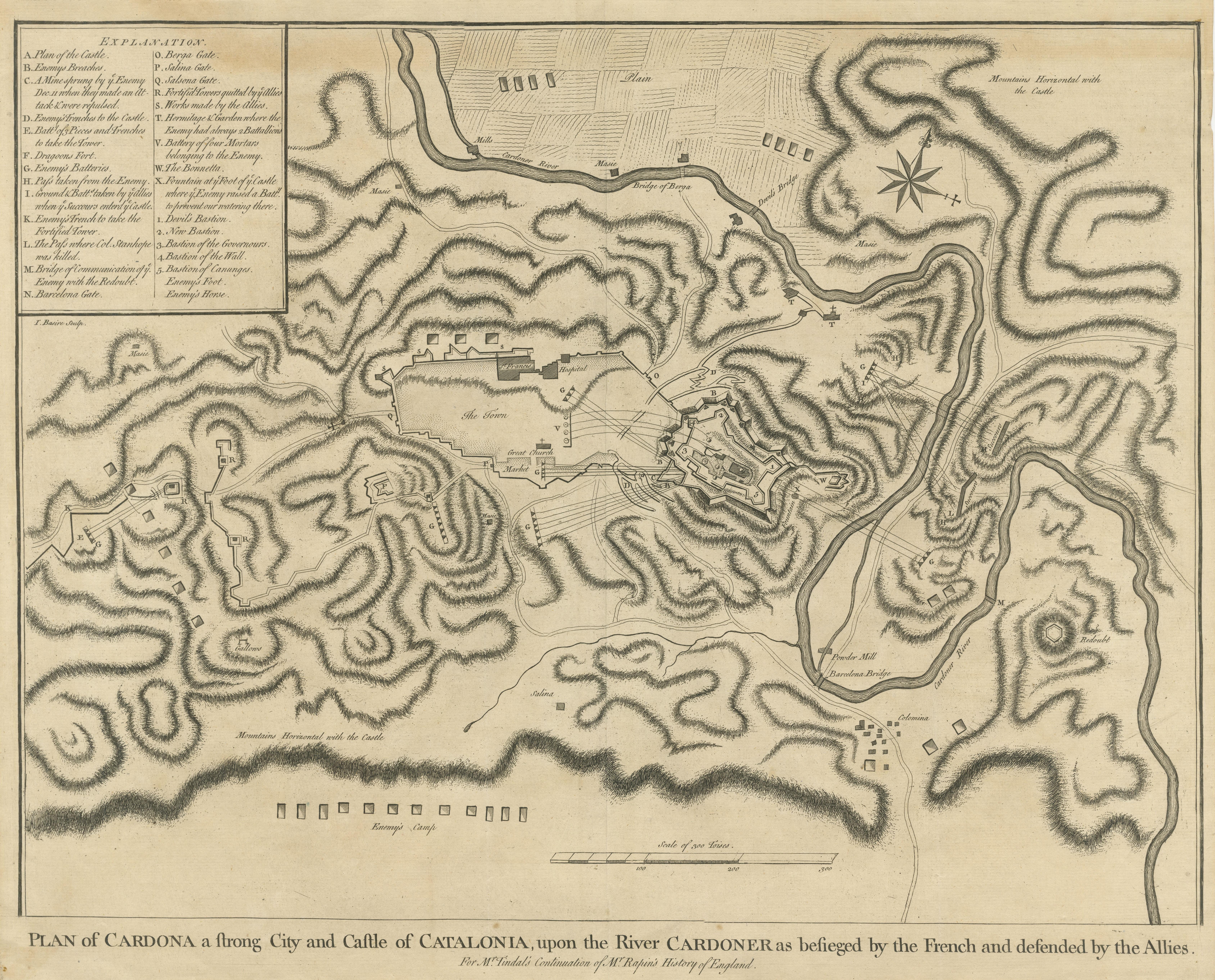
Antique print titled 'Plan of Cardona a strong city and castle of Catalonia, upon the river Cardoner as besieged by the French and defended by the Allies'. A plan of the siege of the Castle of Cardona in 1714, towards the end of the War of the Spanish Succession, after the Treaty of Utrecht had removed Britain from the hostilities. Built by Wilfred the Hairy in 886, the French bombardment destroyed much of the walls. The fall of Cardona and Barcelona soon after ended Catalan hopes for independence from Spain.
Nicholas Tindal (1687-1774), at one time Chaplain to Greenwich Hospital, first published a translation of Frenchman Paul de Rapin's 'History of England' in 1727, running to thirteen volumes; in 1732 it was enlarged with his own notes and maps. This map was published in 'A summary of Mr Rapin de Thoyras's History of England, and Mr Tindal's Continuation, from the Invasion of Julius Caesar, to the End of the Reign of King George I. Illustrated With Medals, Plans of Battles, Towns, and Sieges', 1751.