Maritime and Terrestrial Survey of Spanish Santander in 1901, An Original Map
€ 290
One of a kind: this is the sheet in the photographs. Ships from Langweer, the Netherlands.
Date
1901
Sheet size
37.5 × 51 cm (14.8 × 20.1 in)
Condition
Good
Reference
BG-13642-36
Condition
Good condition. Central vertical folding lines as issued. Aged paper with typically warm, yellowish-brown hue, especially around the edges. A light brown discoloring along the top of the fold. Check the images carefully.
About this sheet
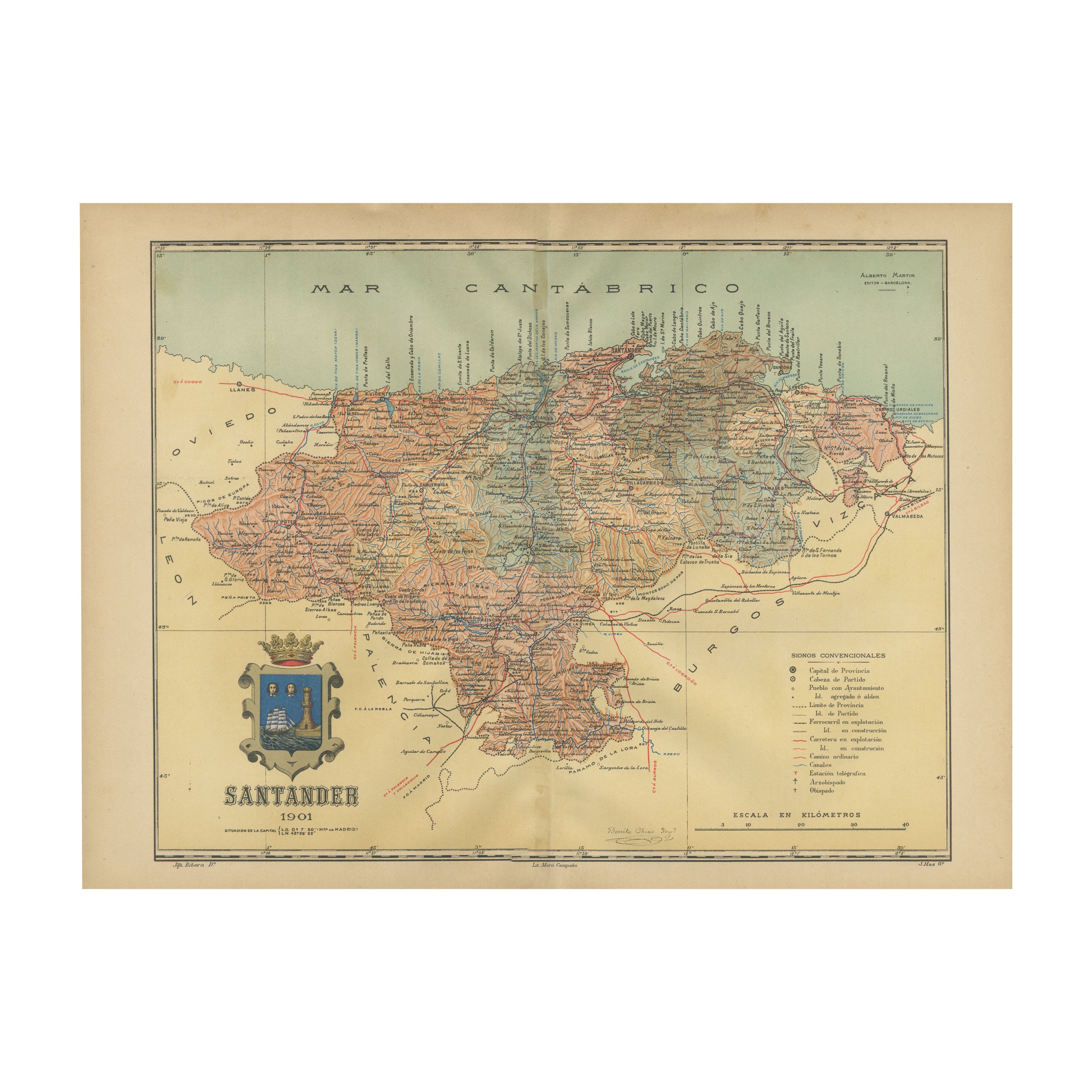
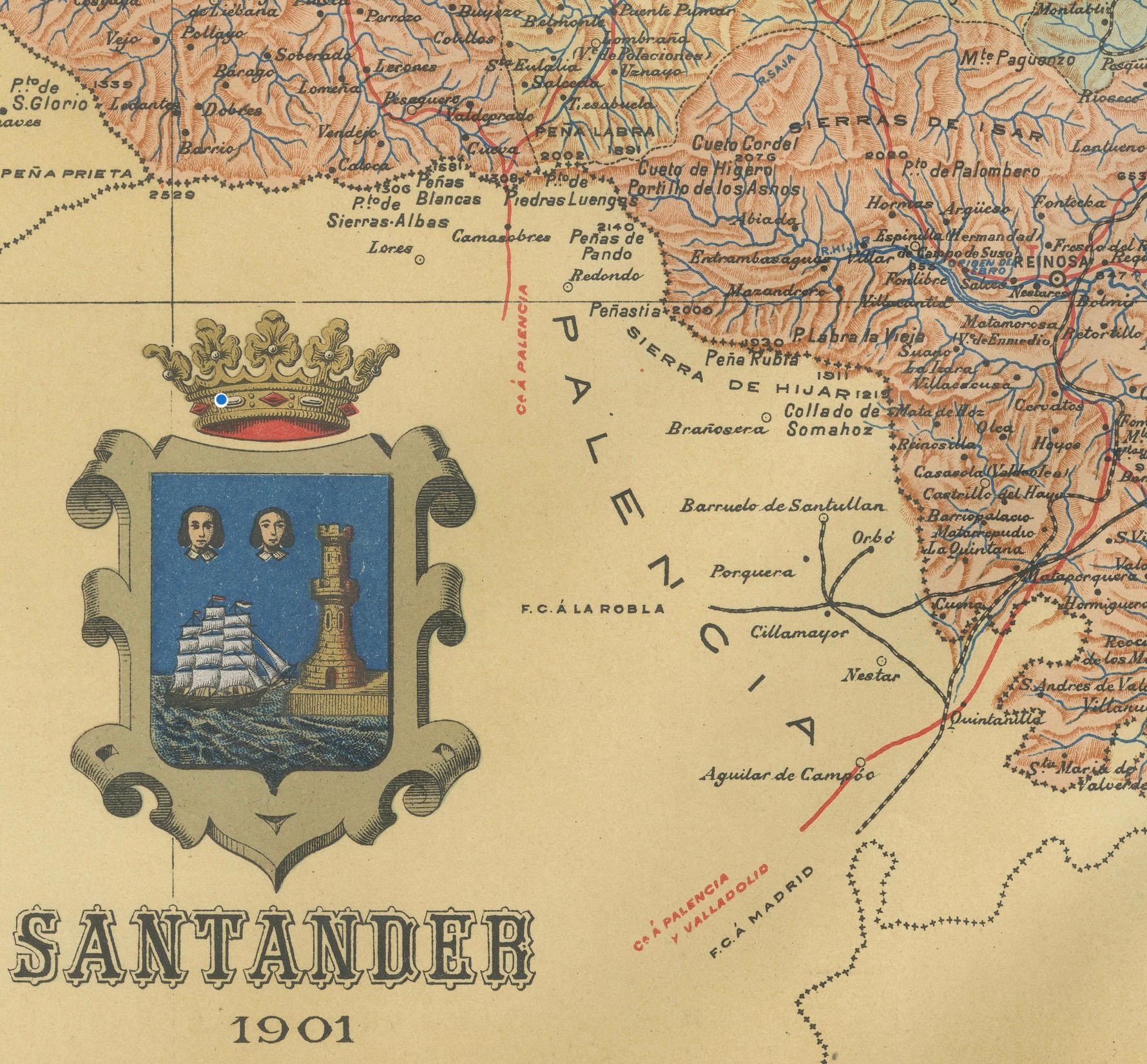
This antique map is a historical map of the province of Santander (currently known as Cantabria) from the year 1901. Santander is located along the northern coast of Spain, bordering the Cantabrian Sea.
This province is characterized by its rich history, stunning coastal landscapes, and the mountain ranges of the Cantabrian Cordillera. The city of Santander, which is the capital of the province, is situated on the coast and is known for its port and its importance as a commercial and cultural hub.
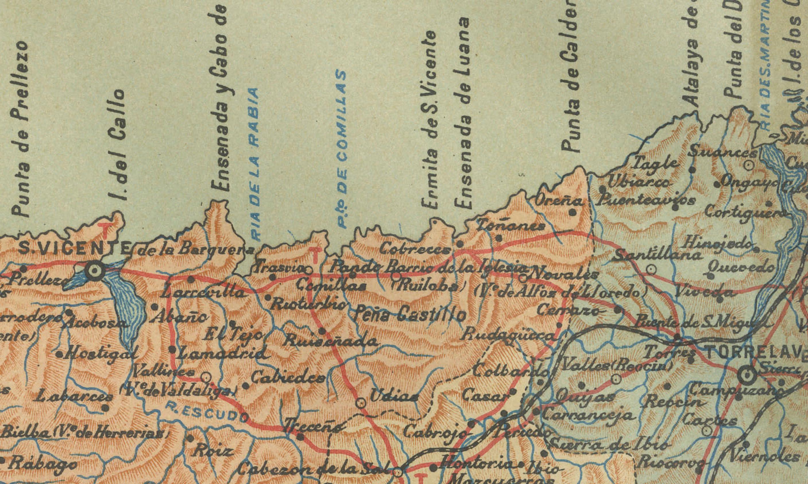
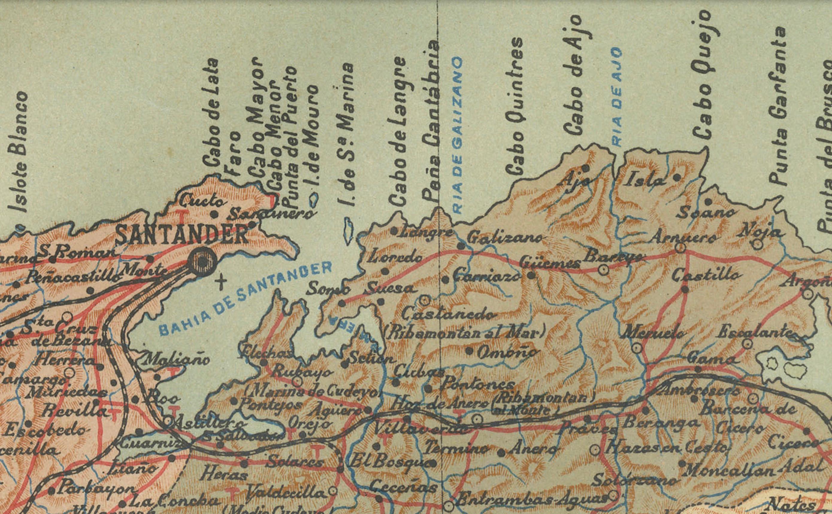
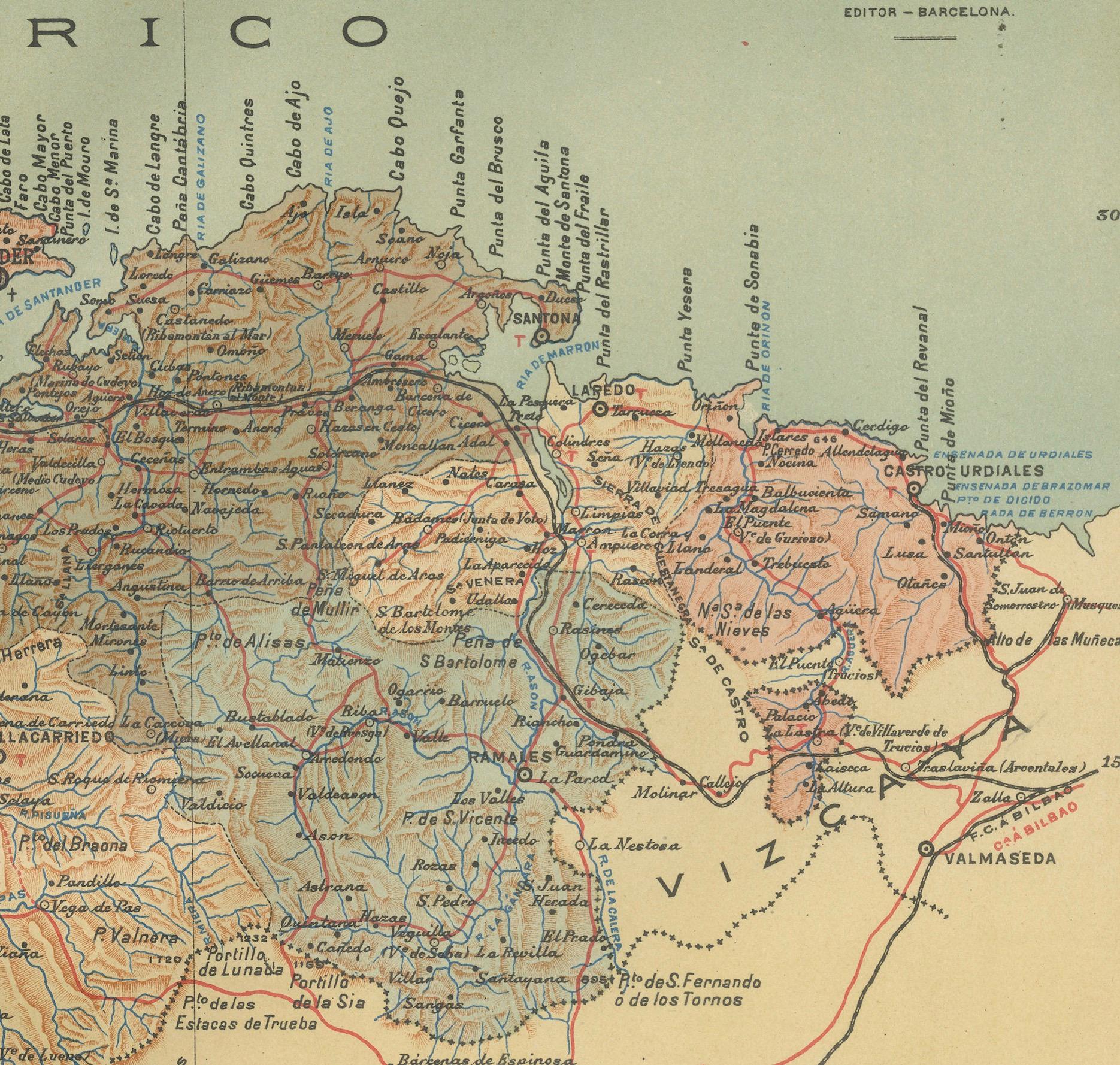
The map details the geographical features such as the river systems, including the Ebro and its tributaries, mountain ranges, and the infrastructure present at the time, like railroads and roads. The coastal areas, particularly the bays and beaches, would have been important for trade and fishing, contributing to the local economy.
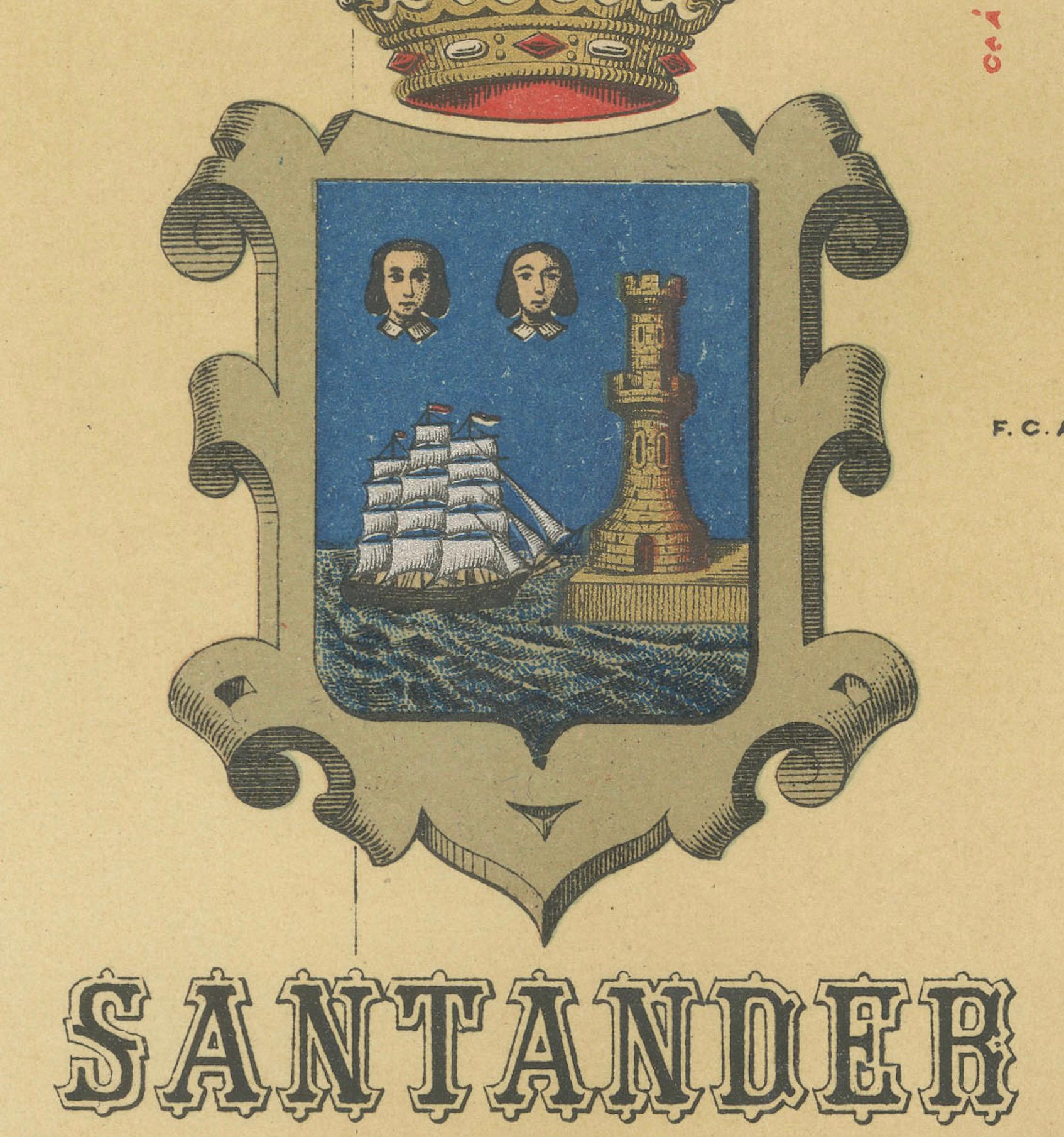
The coat of arms depicted on the map represents the provincial identity, with the ship symbolizing maritime heritage and the royal crown reflecting historical ties to the Spanish monarchy.