

Maps & PrintsBartele Gallery · Langweer
Home / Antique Maps / Europe / Southern Europe

Southern Europe

Antique Plan of the Fortifications of Lleida, Spain

€ 440

One of a kind: this is the sheet in the photographs. Ships from Langweer, the Netherlands.

Sheet size
38.8 × 50.4 cm (15.3 × 19.8 in)
Condition
Good
Reference
BG-13432-4

Condition

Age-related toning. Original folding line. Shows some wear, soiling and staining. Blank verso. Please study image carefully.

About this sheet

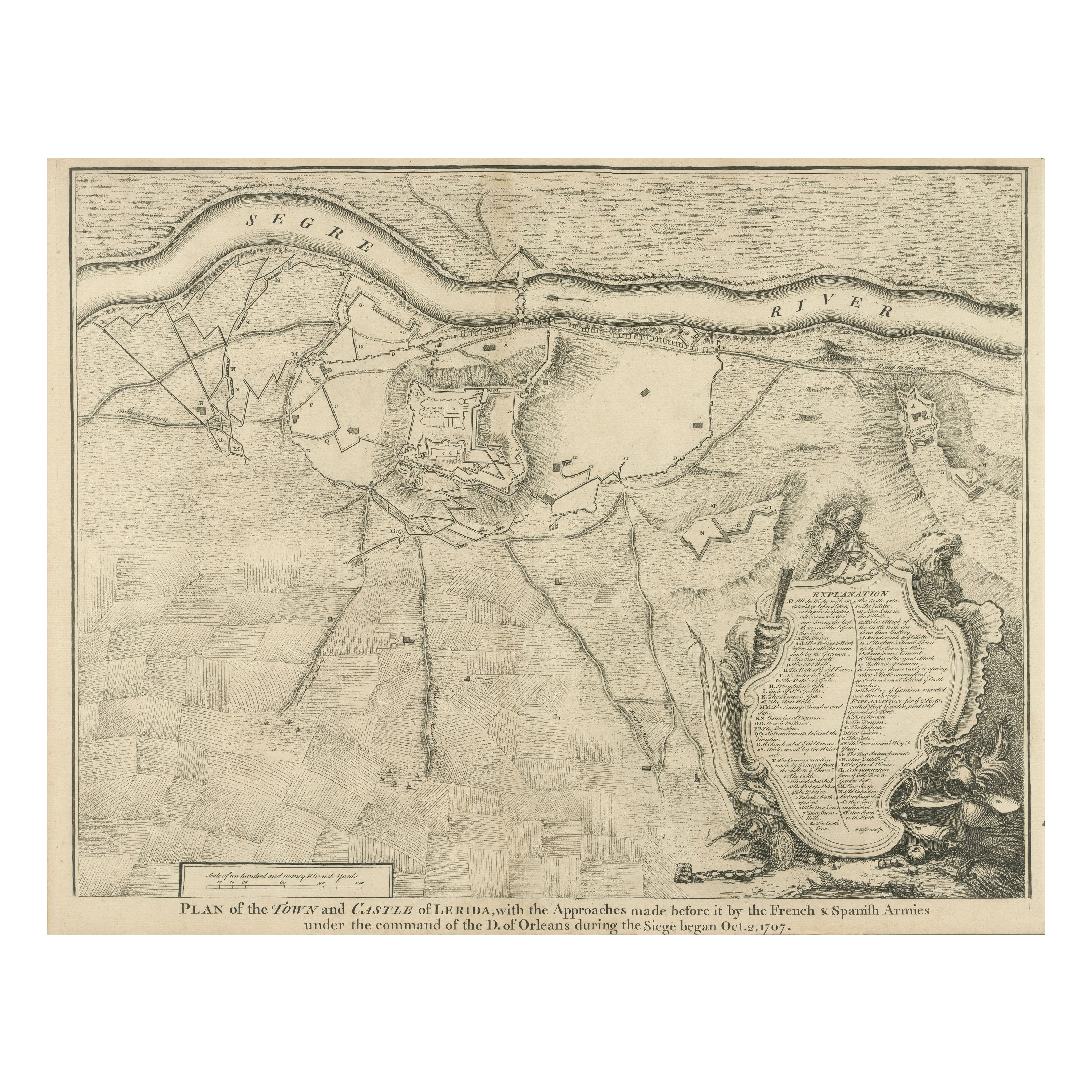

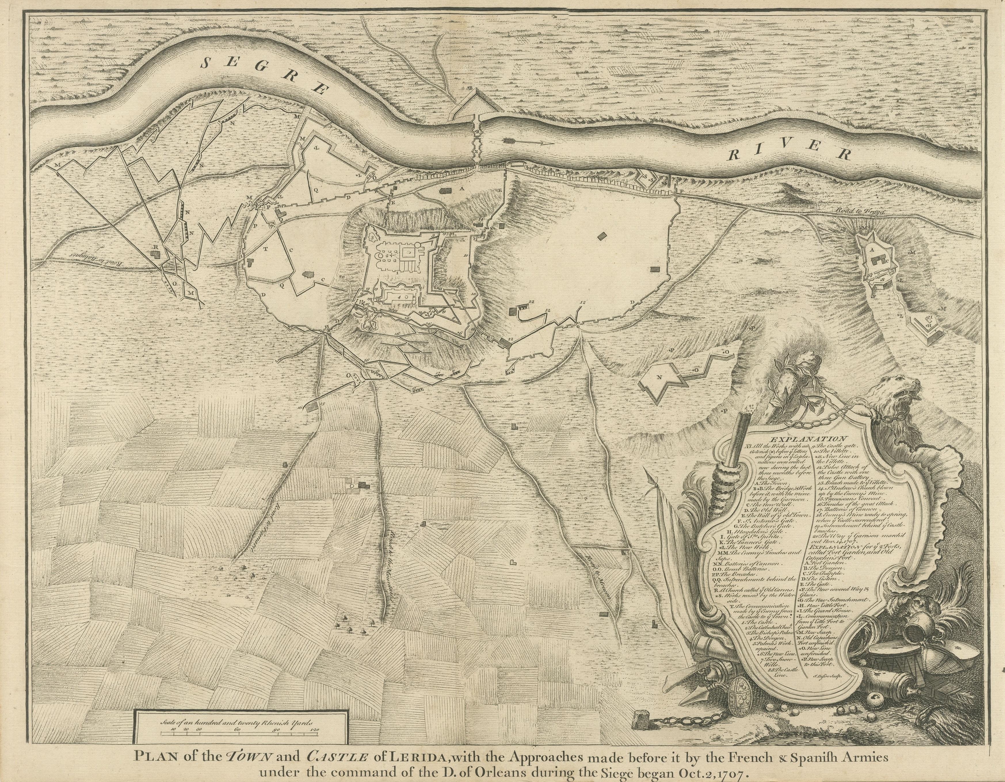
Antique print titled 'Plan of the Town and Castle of Lerida, with the Approaches Made Before It by the French & Spanish Armies Under the Command of the D. of Orleans During the Siege Began Oct. 2, 1707'. This fine plan illustrates the extensive fortifications of Lleida situated on the banks of the river Segre in northwestern Catalan. It depicts the siege of the city in October 1707.

Originates from 'Tindal's Continuation of Mr. Rapin's History'. Nicolas Tindal translated Paul de Rapin's History of England into English shortly after the French edition's release (1724-1727), and would later add volumes covering the reign of James VI and I (1566-1625) to George I (1660-1727) which represent the "continuation." These plans depict the fortifications of Spanish towns that were the sites of conflict during the War of the Spanish Succession. Each includes an ornate cartouche containing a key to important locations. Engraved by J. Basire.

More from Southern Europe

Ask about this sheet

Antique Plan of the Fortifications of Lleida, Spain
Ref. BG-13432-4 · € 440
We reply by email, usually within one working day.