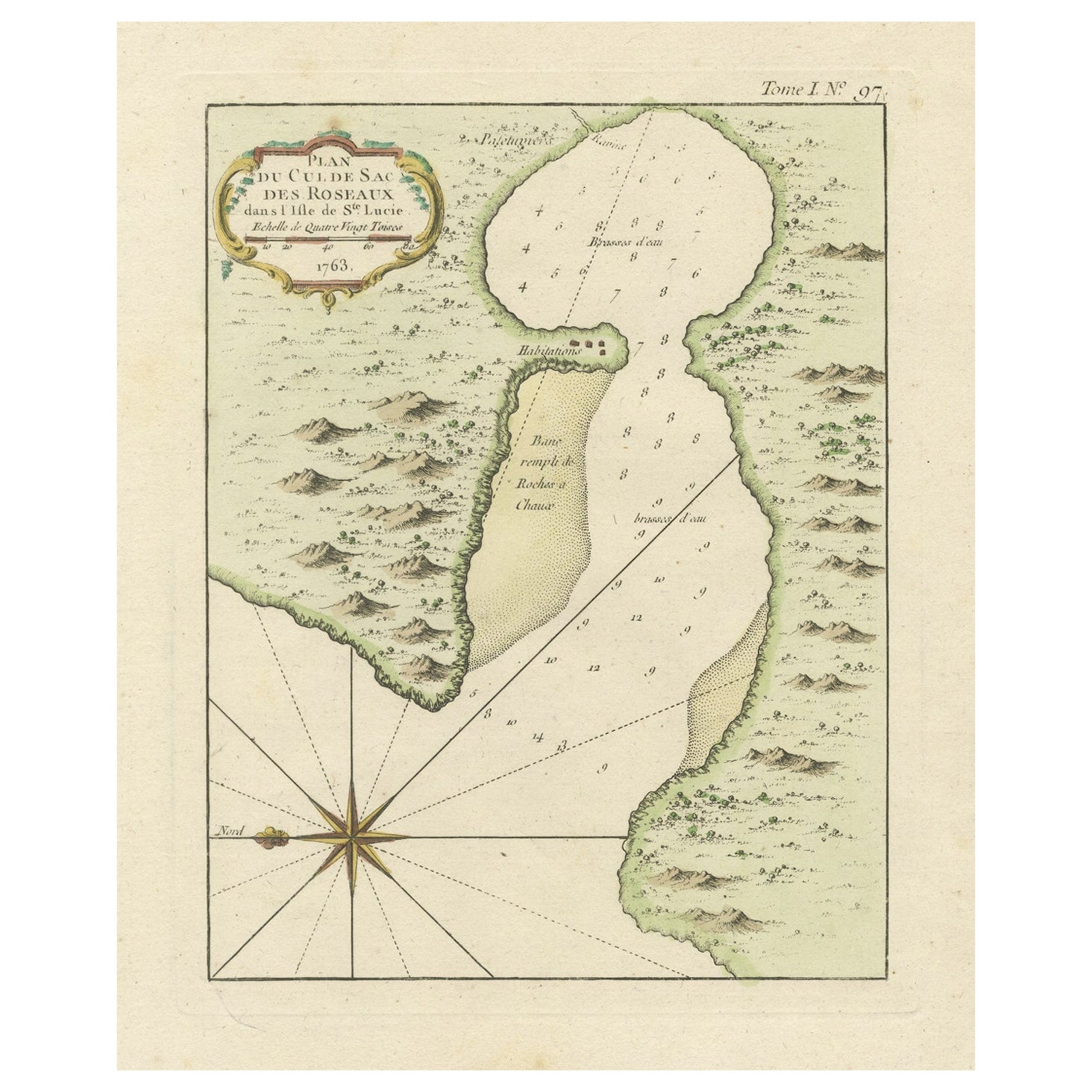
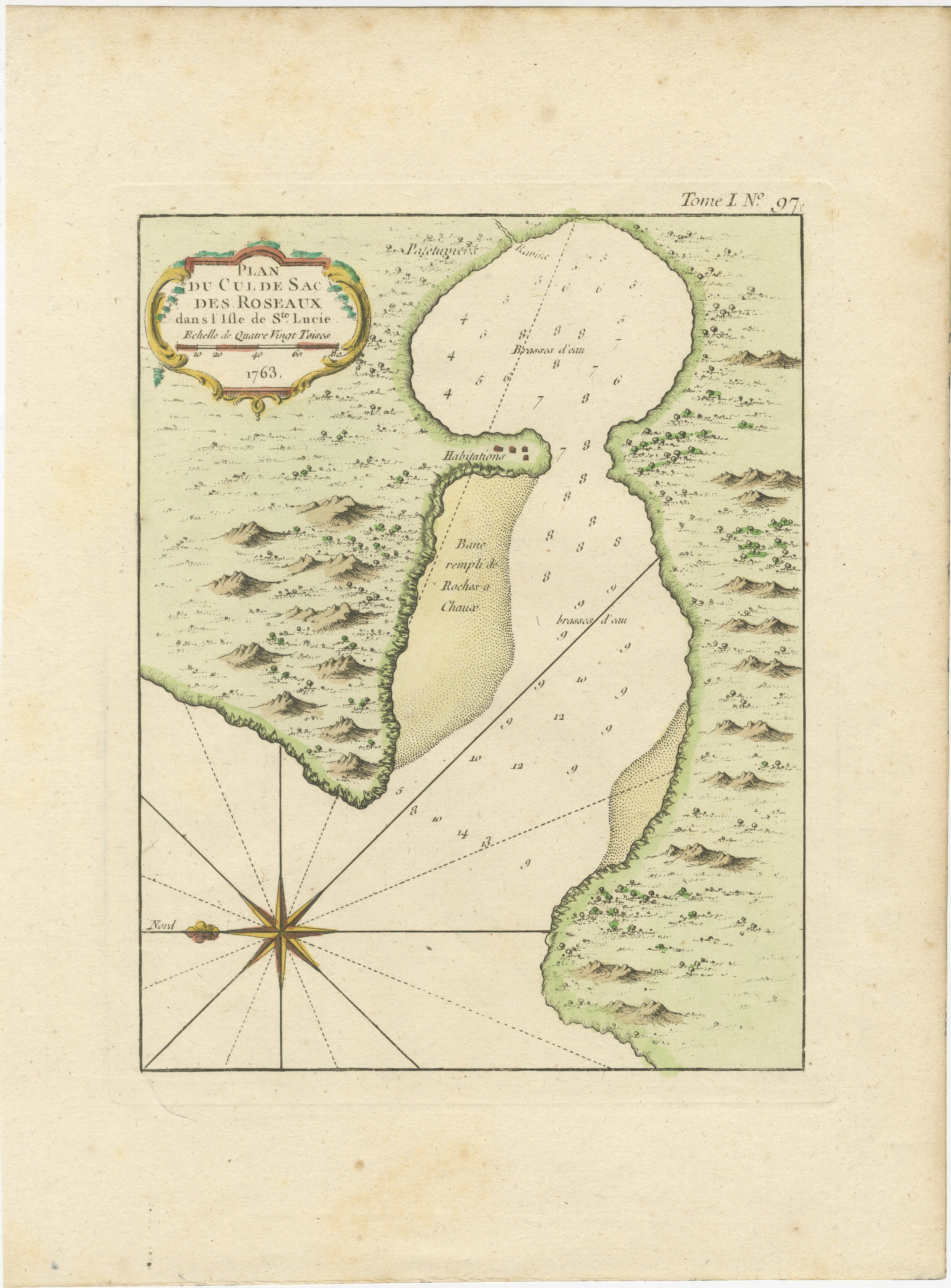
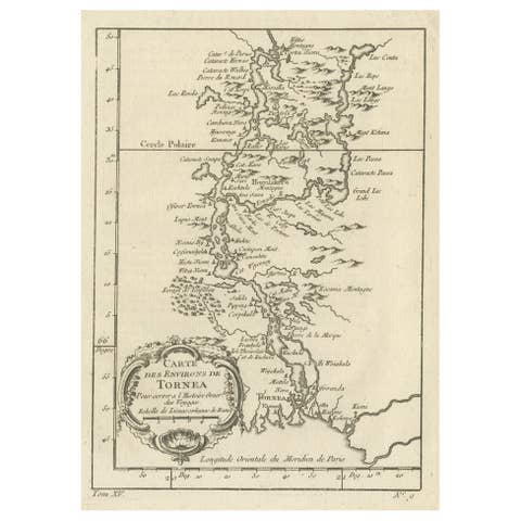
Roseaux, St. Lucia Island Map by Bellin, Handcolored Engraving, 1763
€ 244
One of a kind: this is the sheet in the photographs. Ships from Langweer, the Netherlands.
Date
1763
Sheet size
32 × 23.5 cm (12.6 × 9.3 in)
Condition
Good
Reference
BG-13618-10
Condition
Very good condition with minor brown spots mostly outside the image. Study the image carefully.
About this sheet
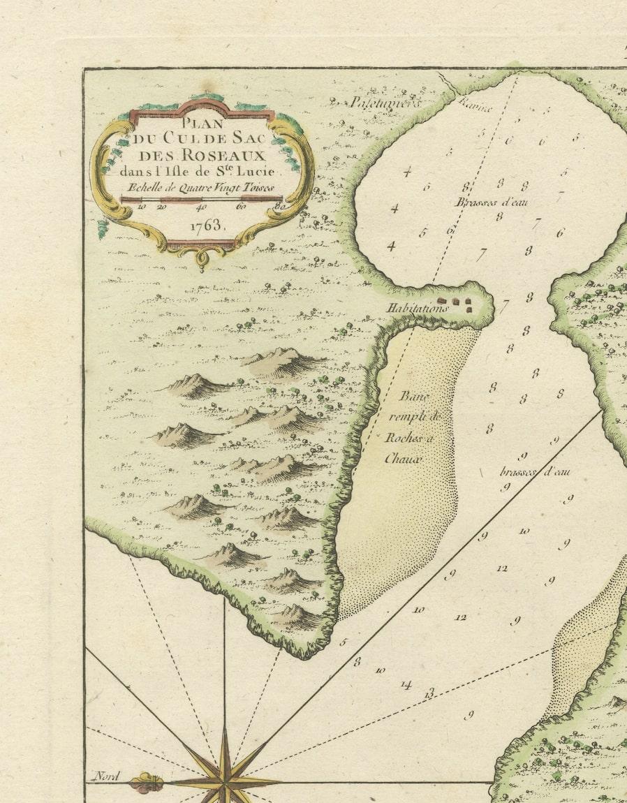
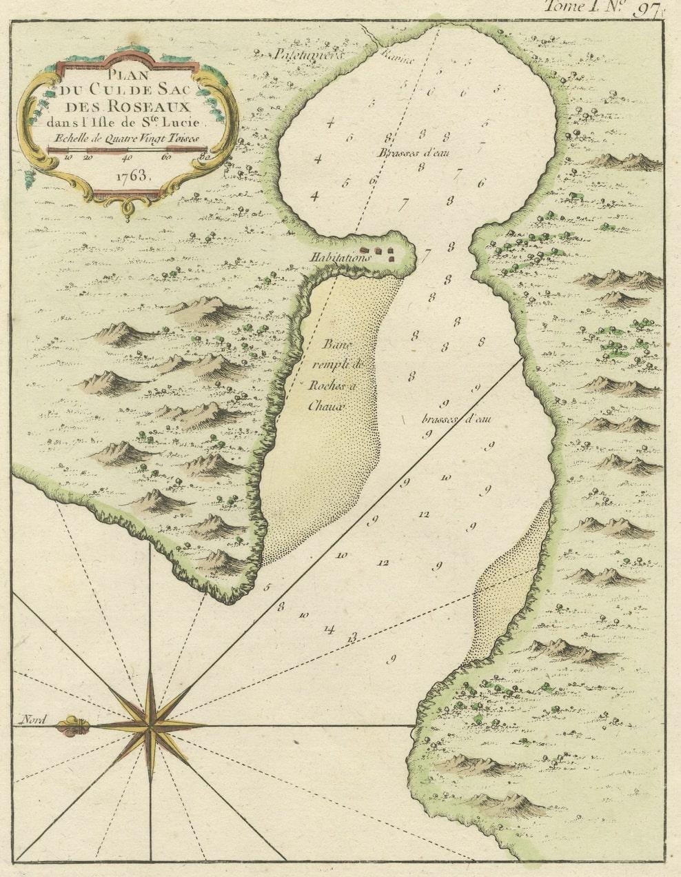
Dating back to around 1763, this antique hand-colored print, a creation by Jacques Nicolas Bellin, unveils a meticulously detailed "Plan du Cul de Sac des Roseaux dans l'Isle de Ste. Lucie." Crafted as part of Bellin's renowned "Petit atlas maritime," this map showcases an exquisite depiction of the natural harbor at Roseaux, situated within the captivating landscape of St. Lucia in the West Indies.
This piece is a testament to Bellin's cartographic expertise and meticulous attention to detail. The hand-colored touch brings vibrancy to the map, highlighting key geographical features and coastal intricacies. Its inclusion in the "Maps West Indies St. Lucia" category underscores its significance in understanding the cartographic landscape of the region during that era.
Considered in very good condition with minor imperfections, this print stands as a valuable collectible, offering a glimpse into the historical mapping endeavors of Bellin. With its precise cartographic representation and meticulous coloring, this artifact preserves a moment in time, inviting viewers to explore and appreciate the maritime cartography of the West Indies, specifically the enchanting allure of St. Lucia's Cul de Sac des Roseaux.