Gipuzkoa 1902: A Cartographic Snapshot of the Basque Coastline and Highlands
€ 360
Original antique · The actual sheet photographed · Certificate of authenticity on request · Sold unframed · Worldwide shipping from € 15 (rates)
Date
1902
Sheet size
37.5 × 51 cm (14.8 × 20.1 in)
Condition
Good
Reference
BG-13642-19
What the condition grades mean
Excellent
Bright and clean, with no faults worth mentioning.
Very good
Only light signs of age, such as faint toning.
Good
Normal signs of age for a sheet of this period: toning, some foxing, small marks or neat old repairs.
Fair
Clear faults such as staining, tears or repairs, priced to match.
Every fault we see is written in the condition note, and the whole sheet is shown uncropped in the photos.
Condition
Good condition. Central vertical folding lines as issued. Aged paper with typically warm, yellowish-brown hue, especially around the edges. Some soiling on the borders and one small tear, not affecting the image. Check the images carefully.
About this sheet
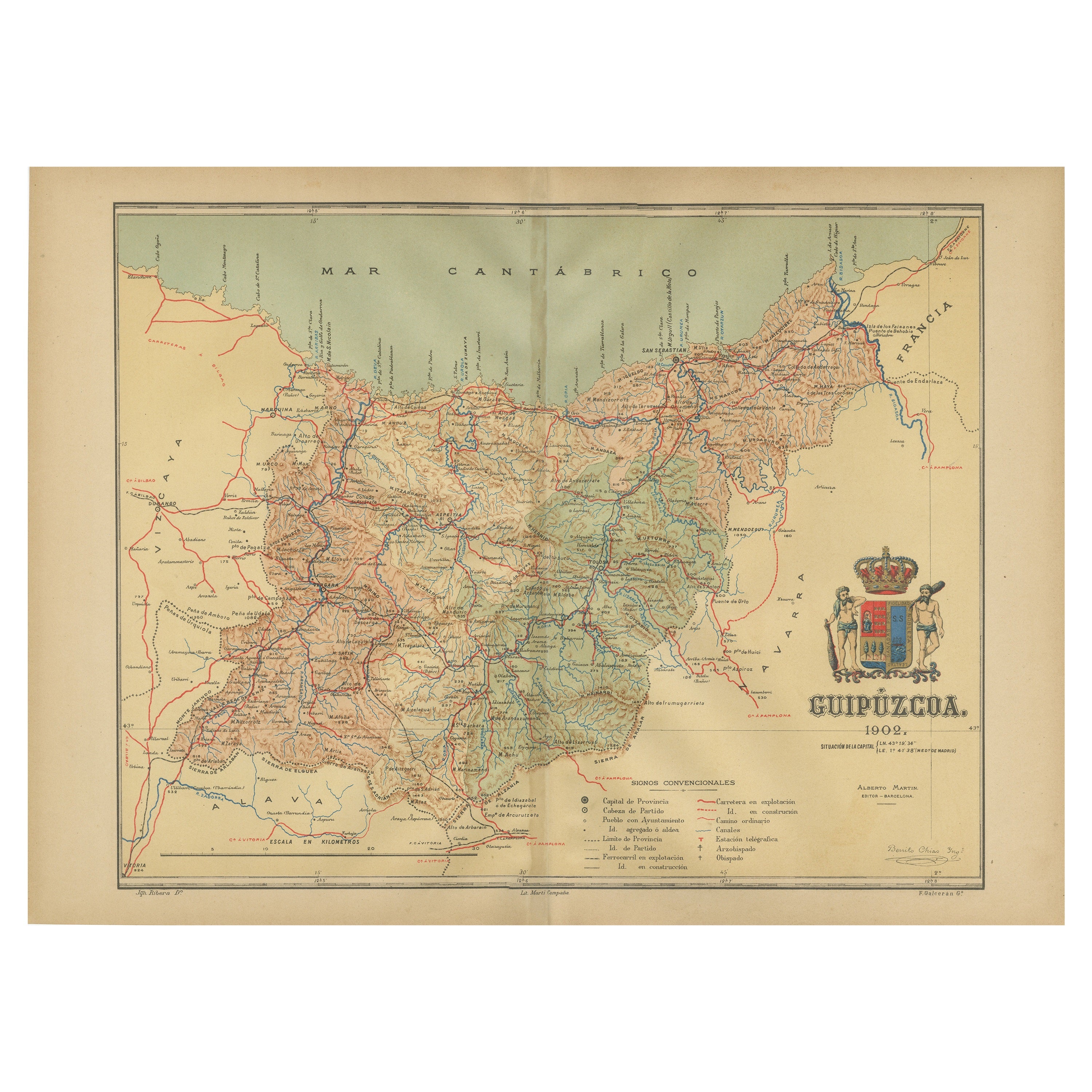
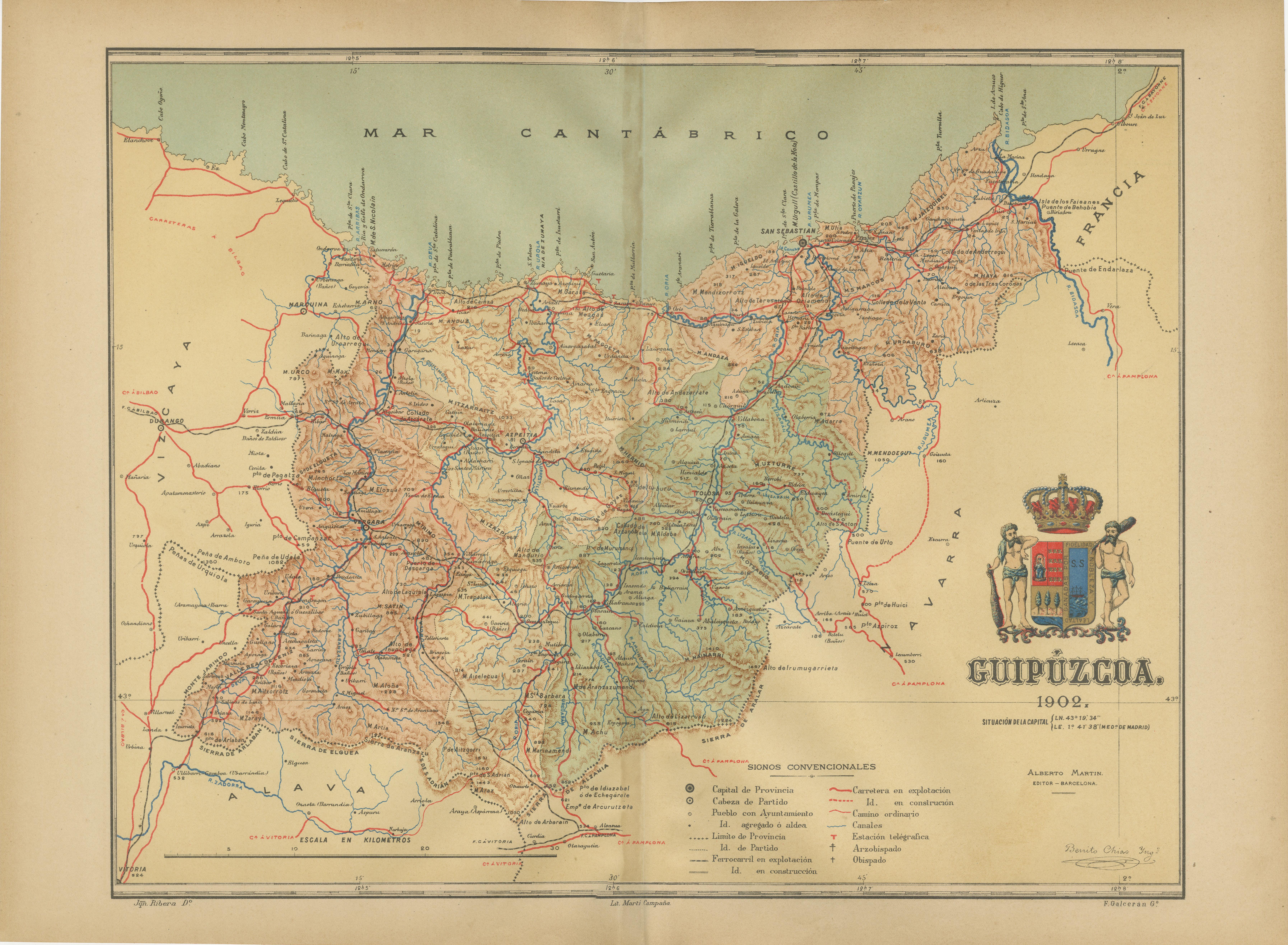
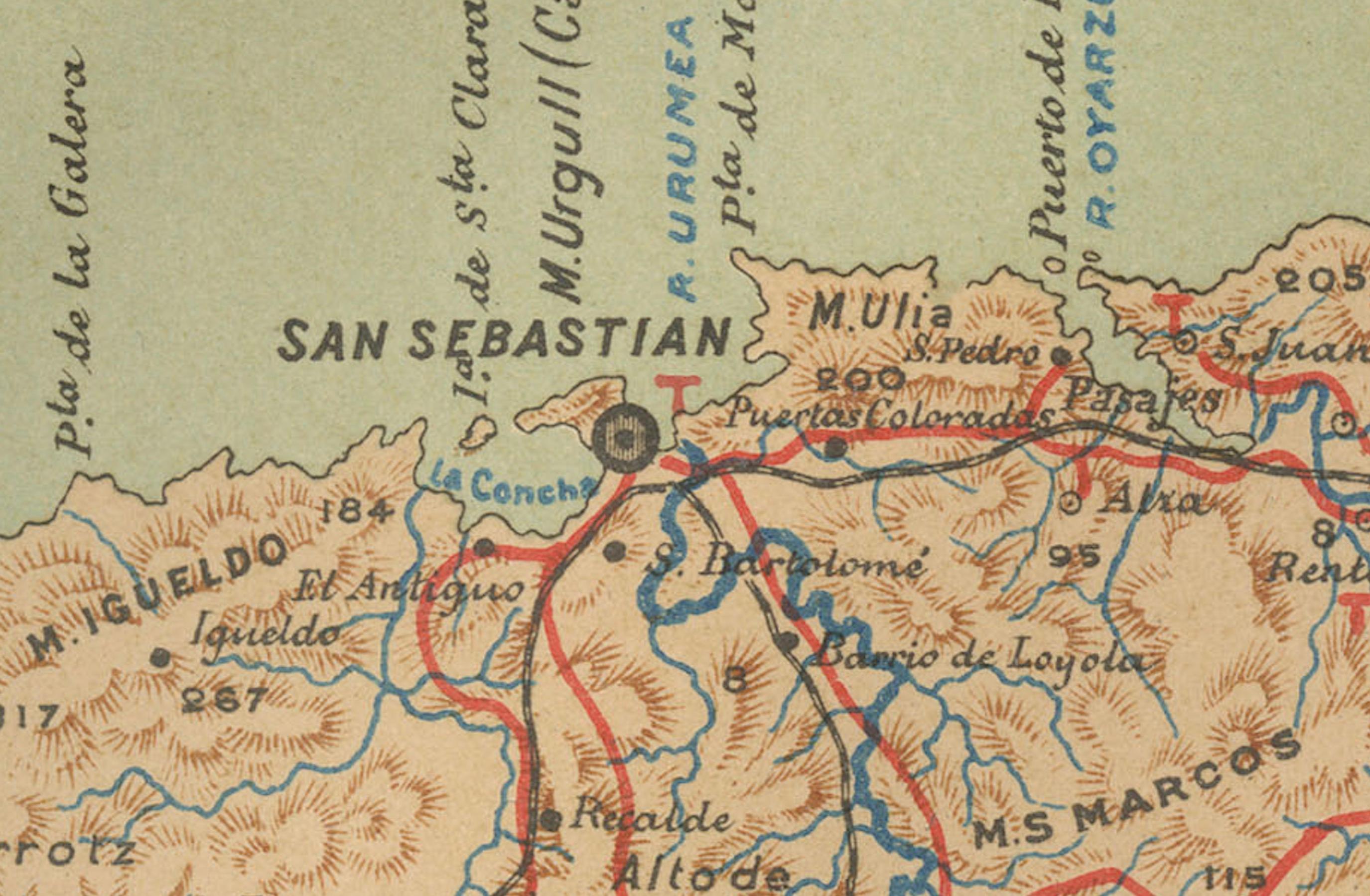
The map showcases the province of Gipuzkoa (also known as Guipúzcoa in Spanish), which is part of the autonomous community of the Basque Country in northern Spain, as of the year 1902. The map includes several notable features:
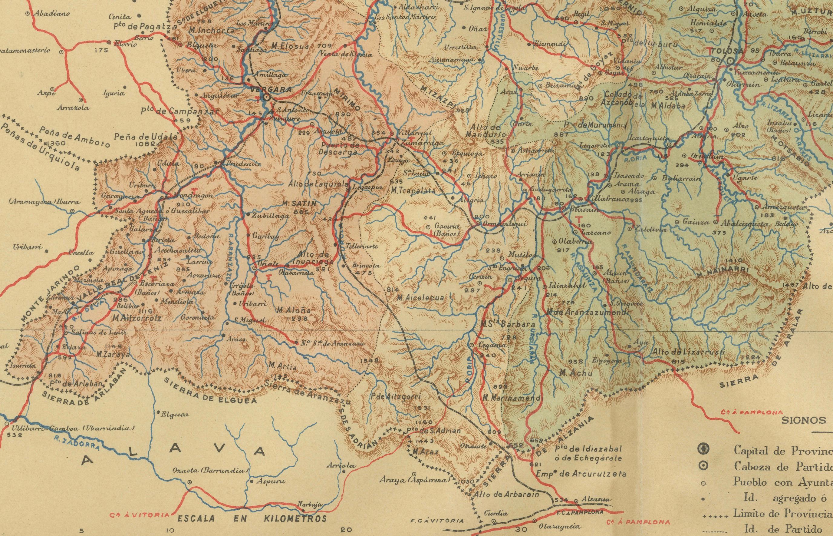
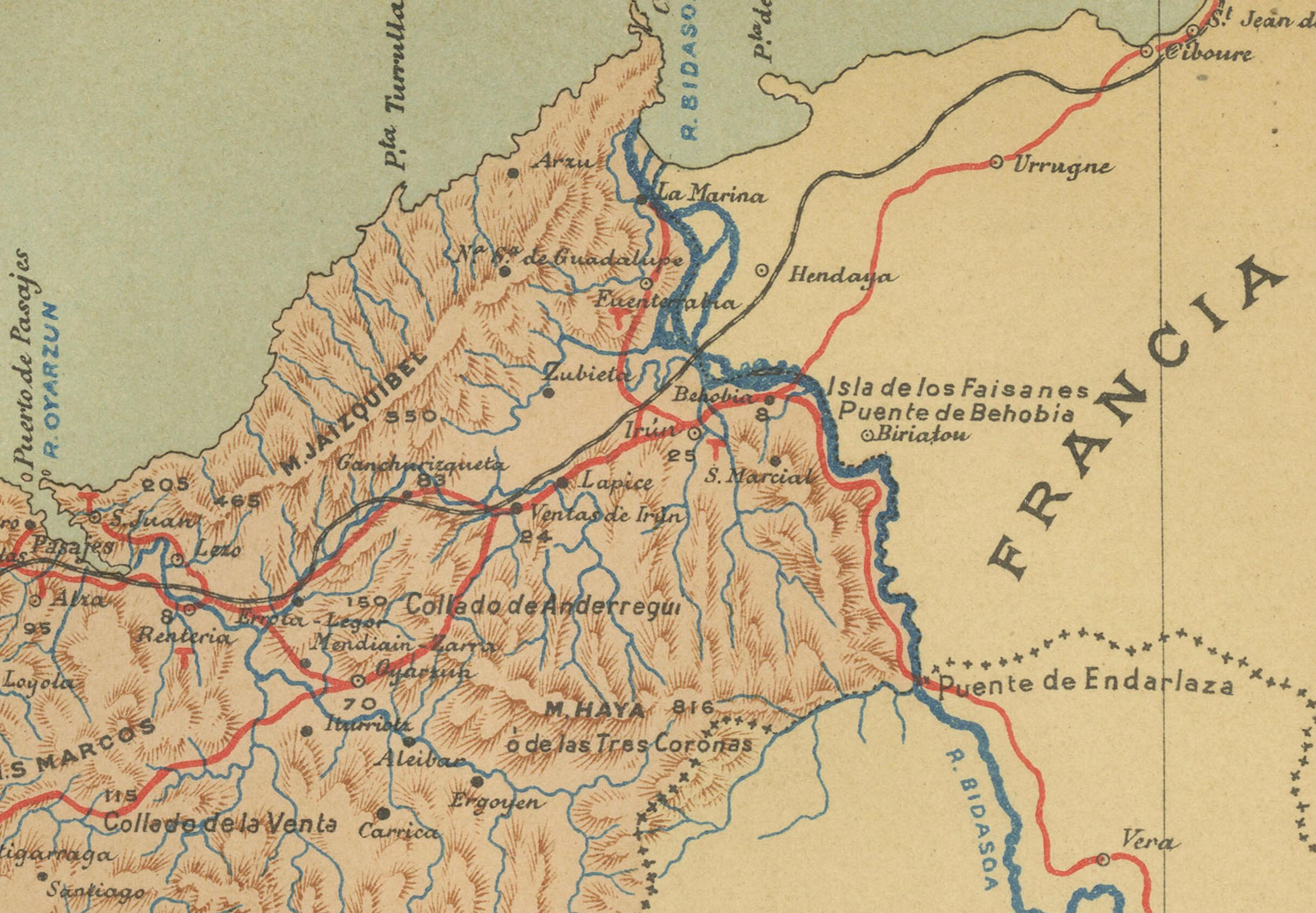
It depicts the mountainous terrain of the region, which is characteristic of the Basque Country, with detailed contour lines. There's a clear representation of the Cantabrian Sea coastline, including the rough coastal landscape for which the region is known. Blue lines likely represent the network of rivers that traverse the province, including the Urumea and Oria rivers. Red lines indicate roads and railways, outlining the transportation infrastructure critical for the region's connectivity. Various symbols are used to mark the locations of cities and towns, with the capital city, Donostia-San Sebastián, presumably indicated. Dotted lines suggest the administrative boundaries within the province. The map features a legend (Signos Convencionales) that explains the symbols used for provincial capitals, roads, railways, and other landmarks. A scale in kilometers at the bottom provides a reference for distance measurement.
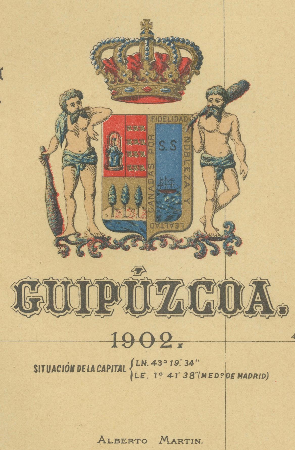
The coat of arms of Gipuzkoa is prominently displayed, incorporating traditional heraldic imagery associated with the region's identity.
About the province of Gipuzkoa:
Gipuzkoa is one of the three provinces that make up the Basque Country, and it is known for its lush landscapes, coastal towns, and industrial heritage. The capital city, Donostia-San Sebastián, is famous for its beautiful bay of La Concha, vibrant cultural life, and its prestigious annual international film festival. The province has a strong industrial economy, with a history of steel manufacturing, and is also a leader in cooperative enterprises, most notably the Mondragon Corporation. The Basque culinary tradition is celebrated in Gipuzkoa, which boasts numerous high-quality restaurants, including several with Michelin stars. Traditional Basque sports, such as pelota and rural sports, are popular in the province. Gipuzkoa's unique cultural identity, language (Euskara), and traditions are a significant part of the region's allure.