About this sheet
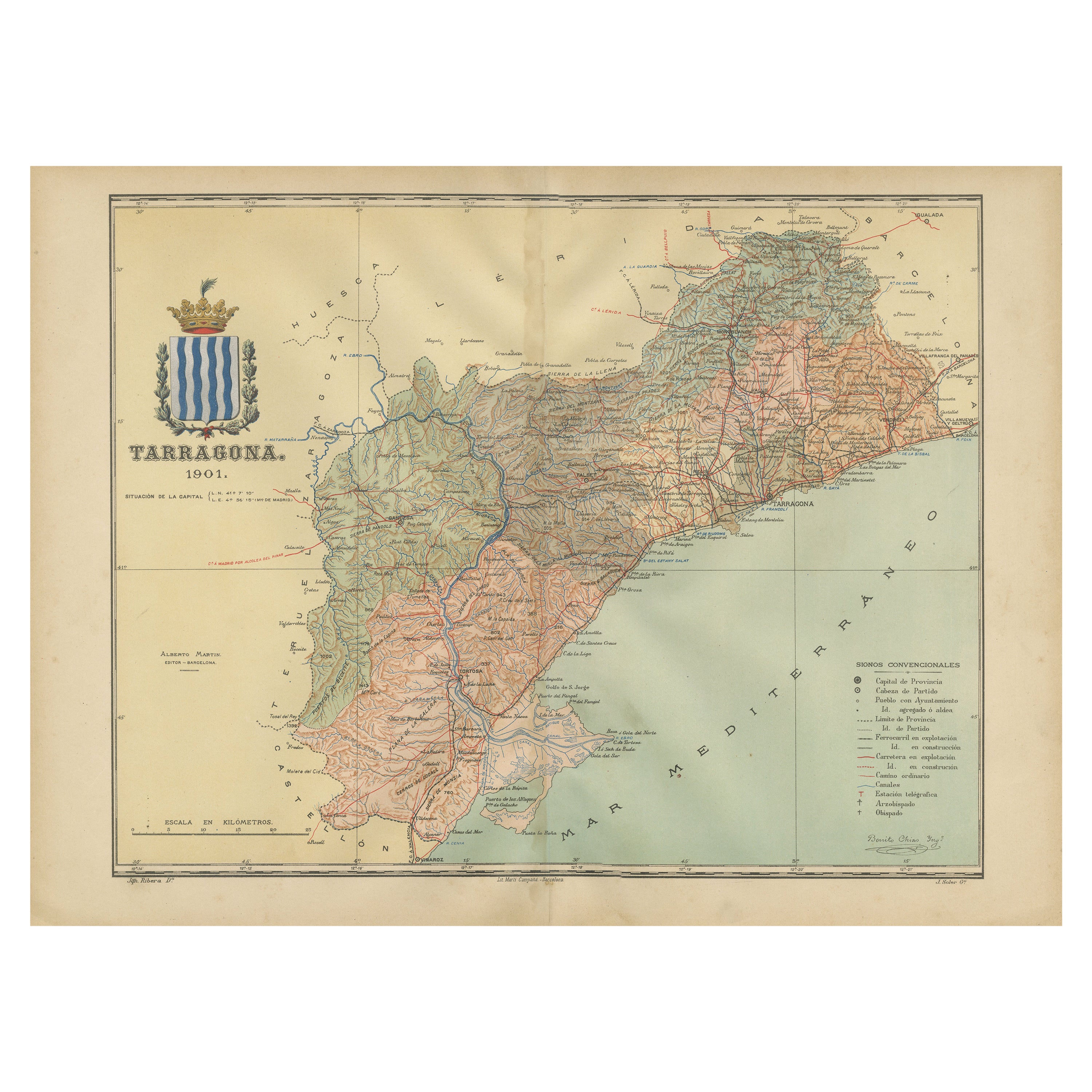
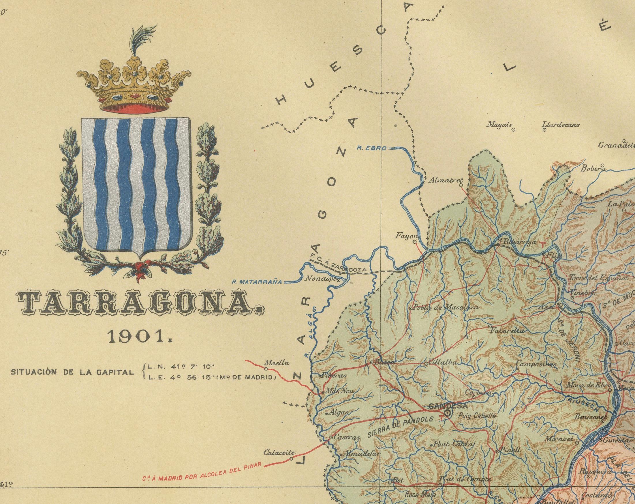
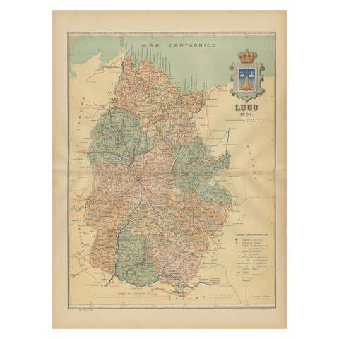
This image depicts a historical map of the province of Tarragona, which is in the northeastern part of Spain, within the autonomous community of Catalonia. The map is dated 1901, suggesting that it is over a century old and would have been created during a time when maps were one of the primary means of recording and communicating geographical information.
Tarragona is a coastal province, as indicated by its boundary with the Mediterranean Sea. Known for its rich history dating back to the Roman Empire, Tarragona houses significant archaeological sites, including the Tarragona Amphitheatre and the Roman Circus, which are part of the Archaeological Ensemble of Tárraco, a UNESCO World Heritage site.
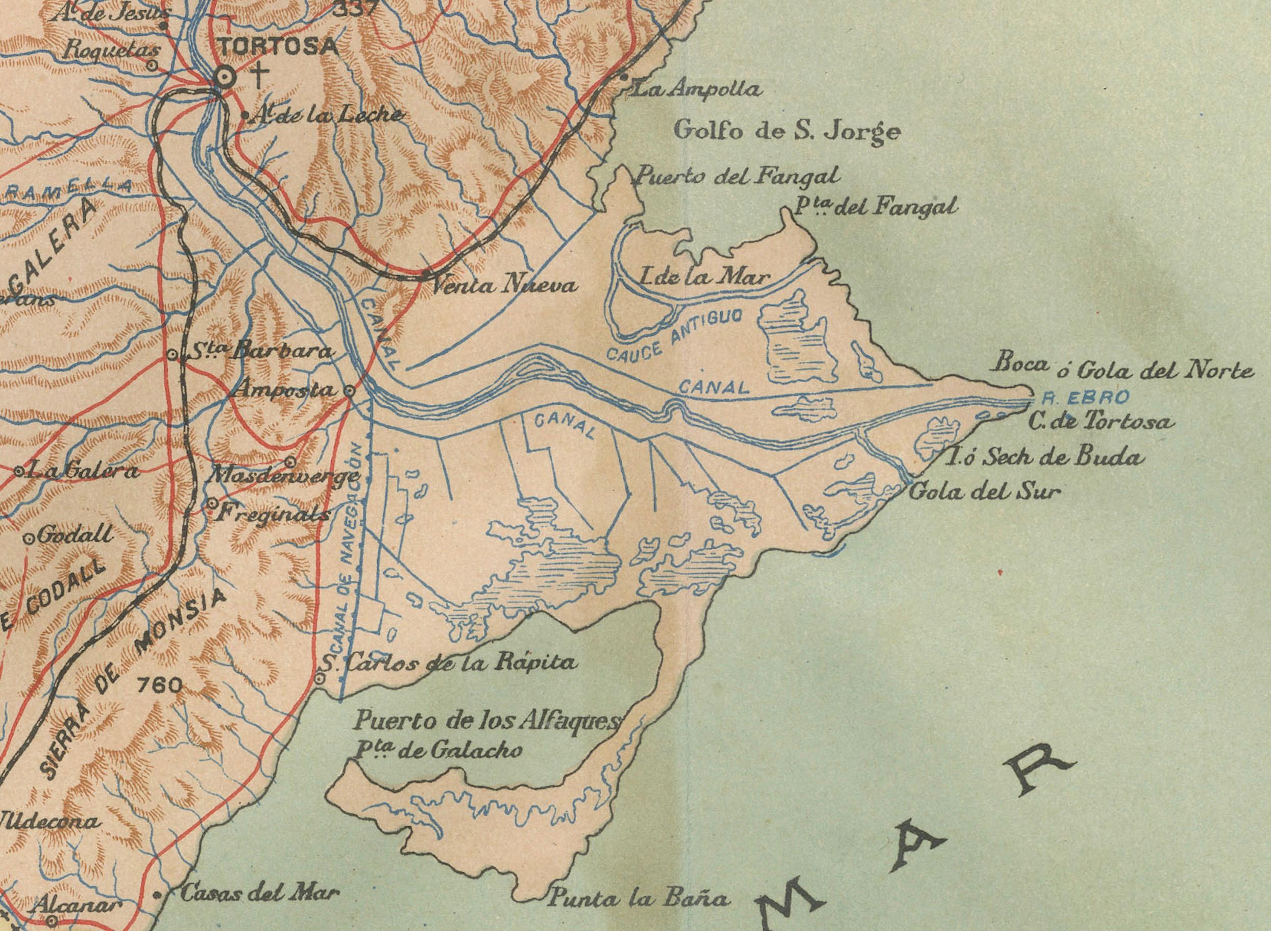
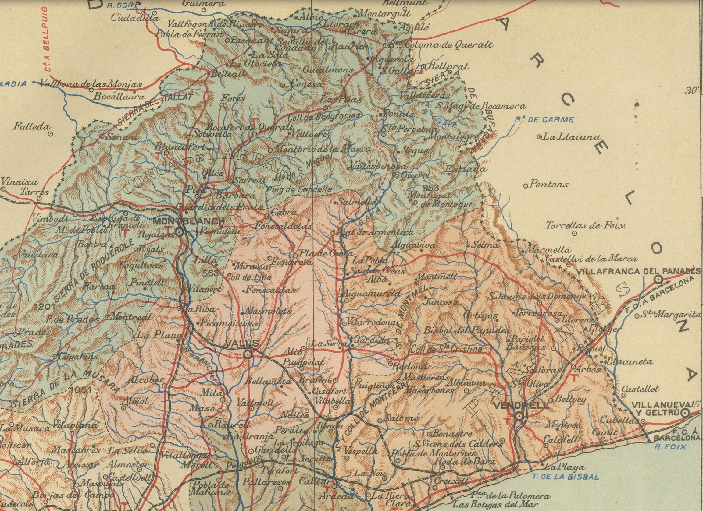
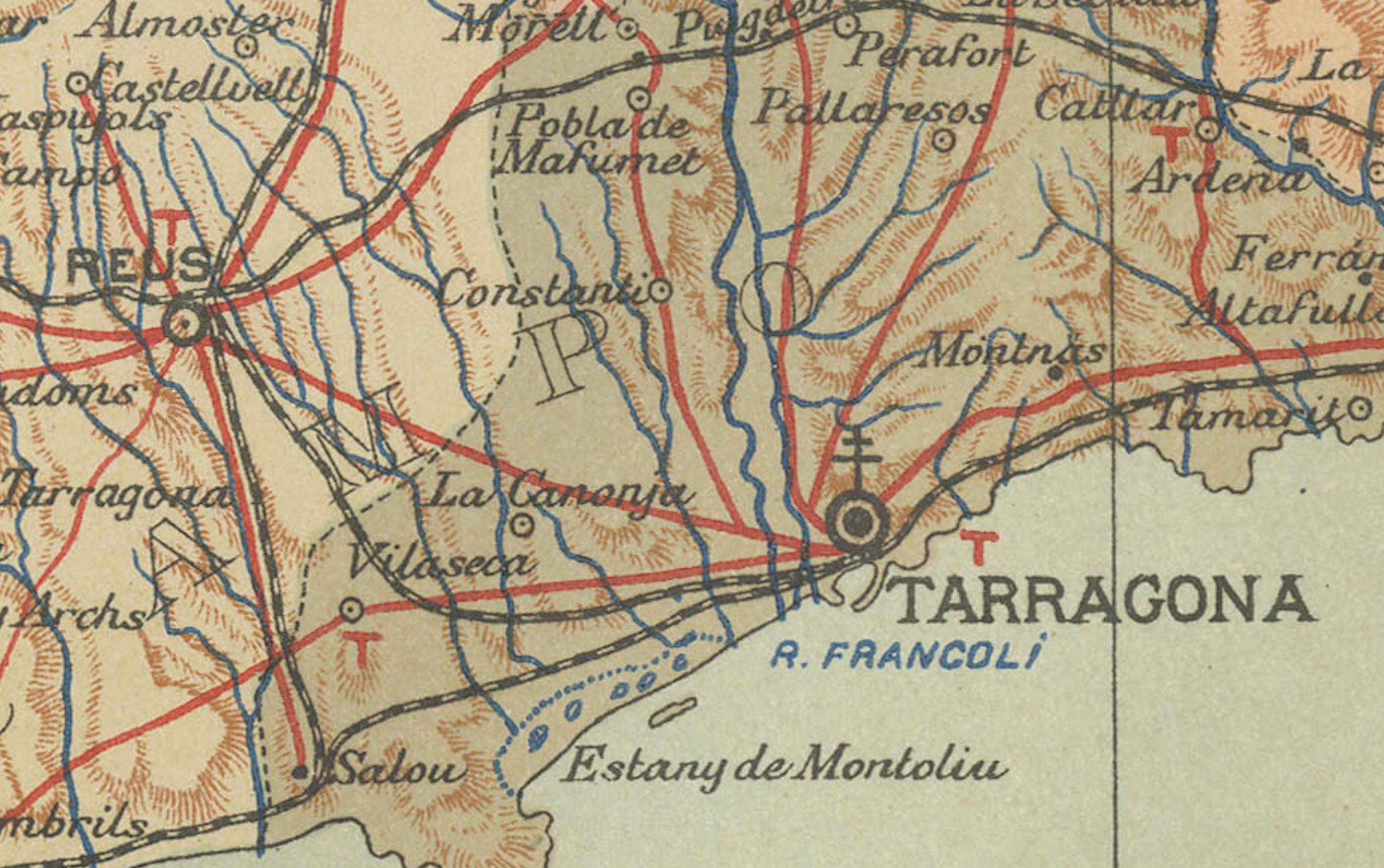
The map details the physical geography of the region, including mountain ranges, rivers, and the coastline. It shows a network of transportation from that era, including railways, roads, and possibly telegraph lines, which are identified by the legend's symbols on the map.
More about this province:
The province of Tarragona in Catalonia, Spain, is historically and culturally rich with several specific features:
1. **Roman Heritage**: Tarragona is renowned for its extensive Roman ruins, including the Tarragona Amphitheatre, the Roman Circus, and the remnants of the Roman walls. The ancient city of Tarraco, the Roman name for Tarragona, was one of the most important Roman towns in the Iberian Peninsula and is a UNESCO World Heritage site.
2. **Strategic Port**: The Port of Tarragona has been a significant maritime hub for centuries, serving as a key economic driver for the region.
3. **Beaches and Coastal Beauty**: The Costa Daurada ("Golden Coast") is part of Tarragona province, known for its golden sandy beaches and clear waters.
4. **Wine Production**: The area is part of Catalonia's prominent wine-producing regions, including the famous Priorat wine region known for its high-quality red wines.
5. **Cultural Festivals**: The province is home to several traditional and cultural festivals, including the Santa Tecla Festival in Tarragona city, which features human towers known as "castells" and is recognized by UNESCO.
6. **Catalan Modernism**: The region has several examples of Catalan modernist architecture, contributing to the rich architectural tapestry that spans from Roman times to the modern era.
7. **Natural Landscapes**: Inland from the coast, Tarragona boasts a diverse landscape including the Prades Mountains and the Ebro Delta, which is one of the largest wetland areas in the western Mediterranean region.
These characteristics make Tarragona a distinctive blend of ancient history, cultural heritage, natural beauty, and modern industry.