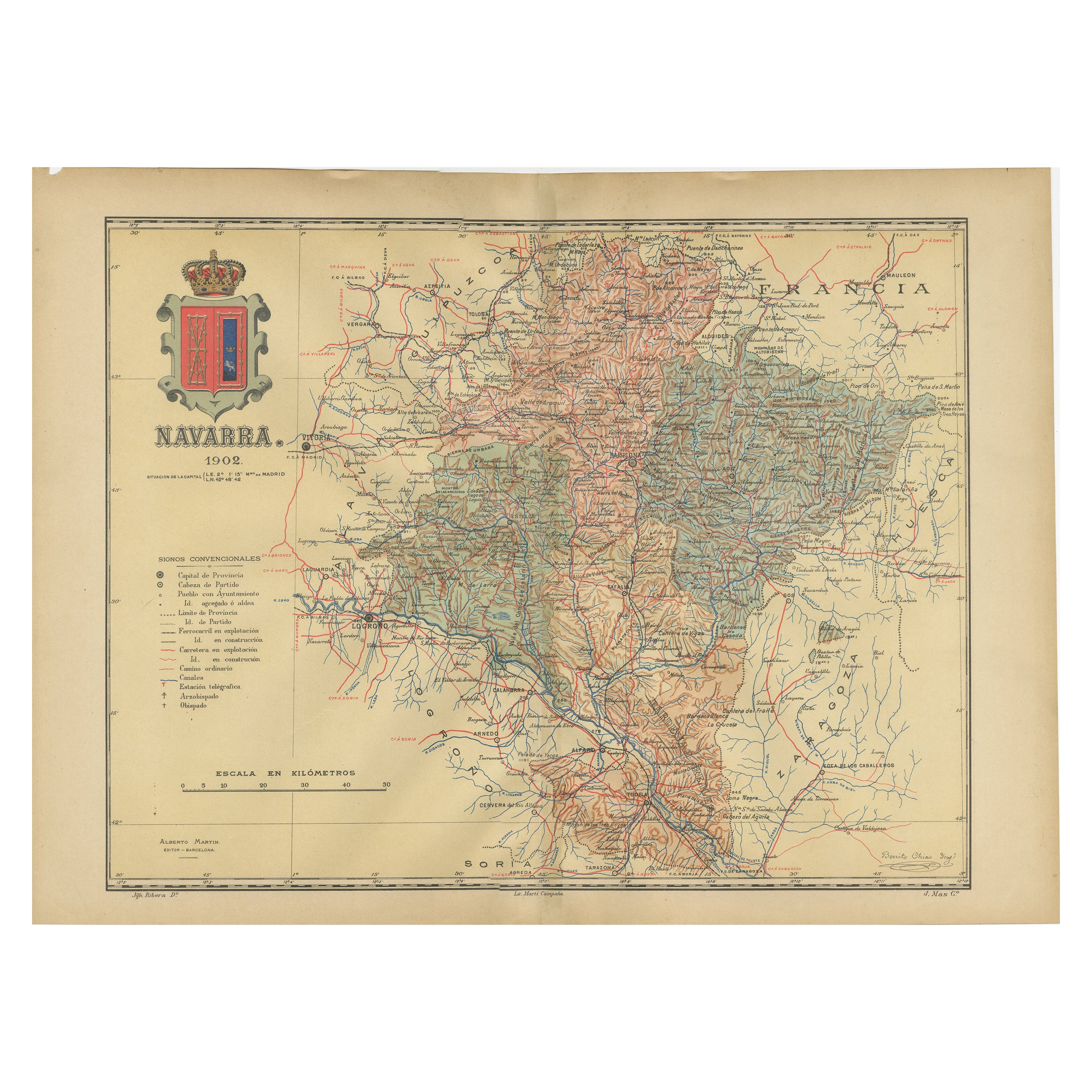
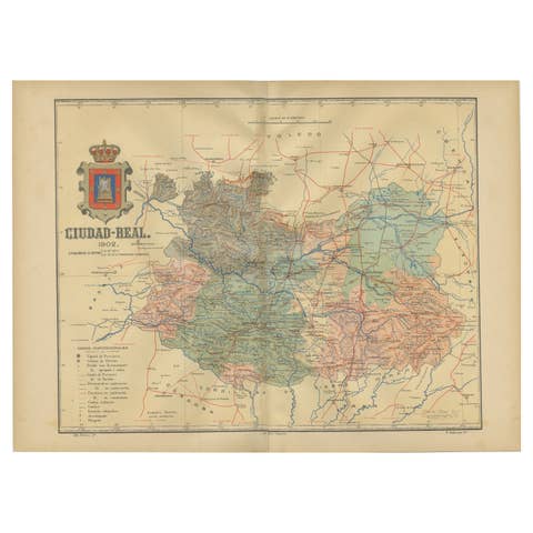
Navarra in Cartographic Detail: A 1902 Map of the Crossroads of Northern Spain
€ 340
One of a kind: this is the sheet in the photographs. Ships from Langweer, the Netherlands.
Date
1902
Sheet size
37.5 × 51 cm (14.8 × 20.1 in)
Condition
Good
Reference
BG-13642-30
Condition
Good condition. Central vertical folding lines as issued. Aged paper with typically warm, yellowish-brown hue, especially around the edges. Check the images carefully.
About this sheet
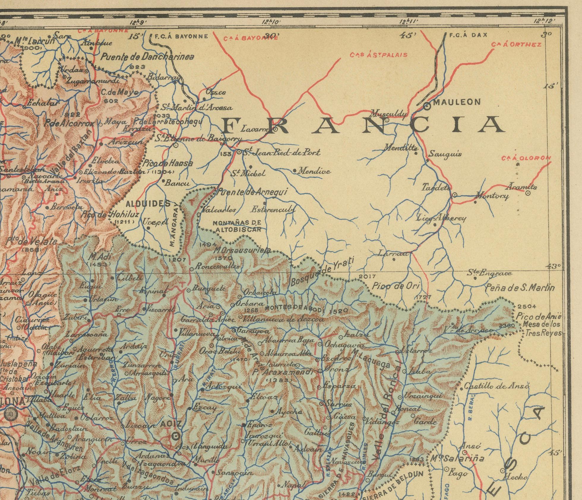
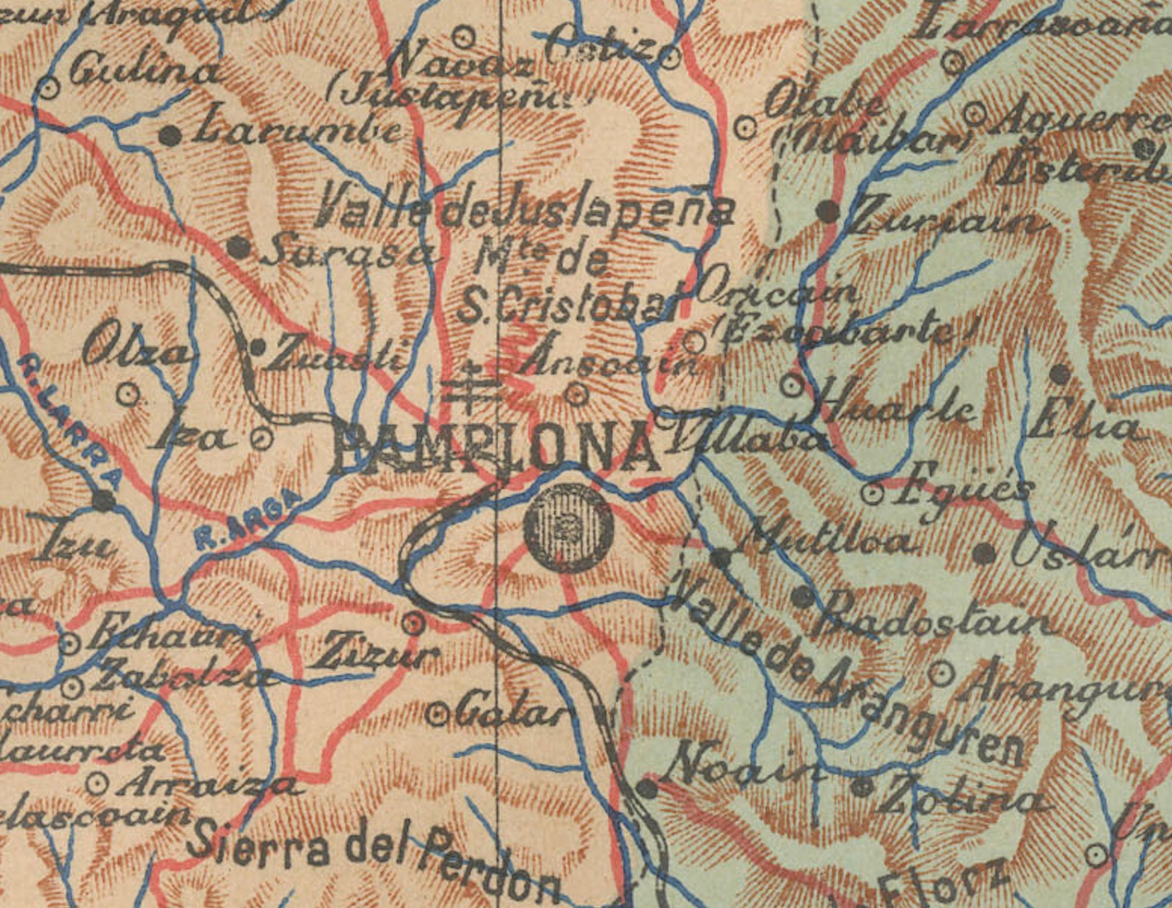
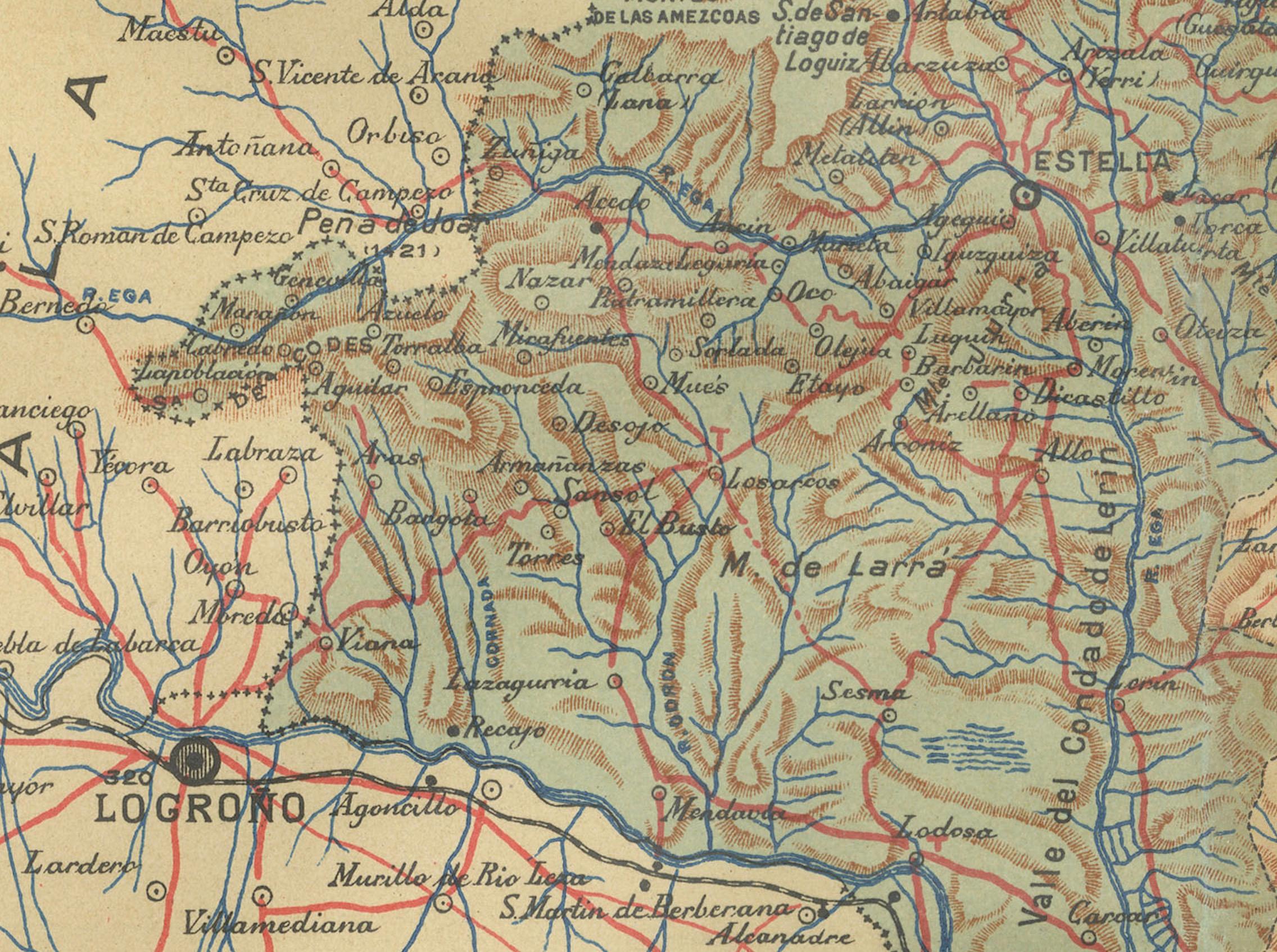
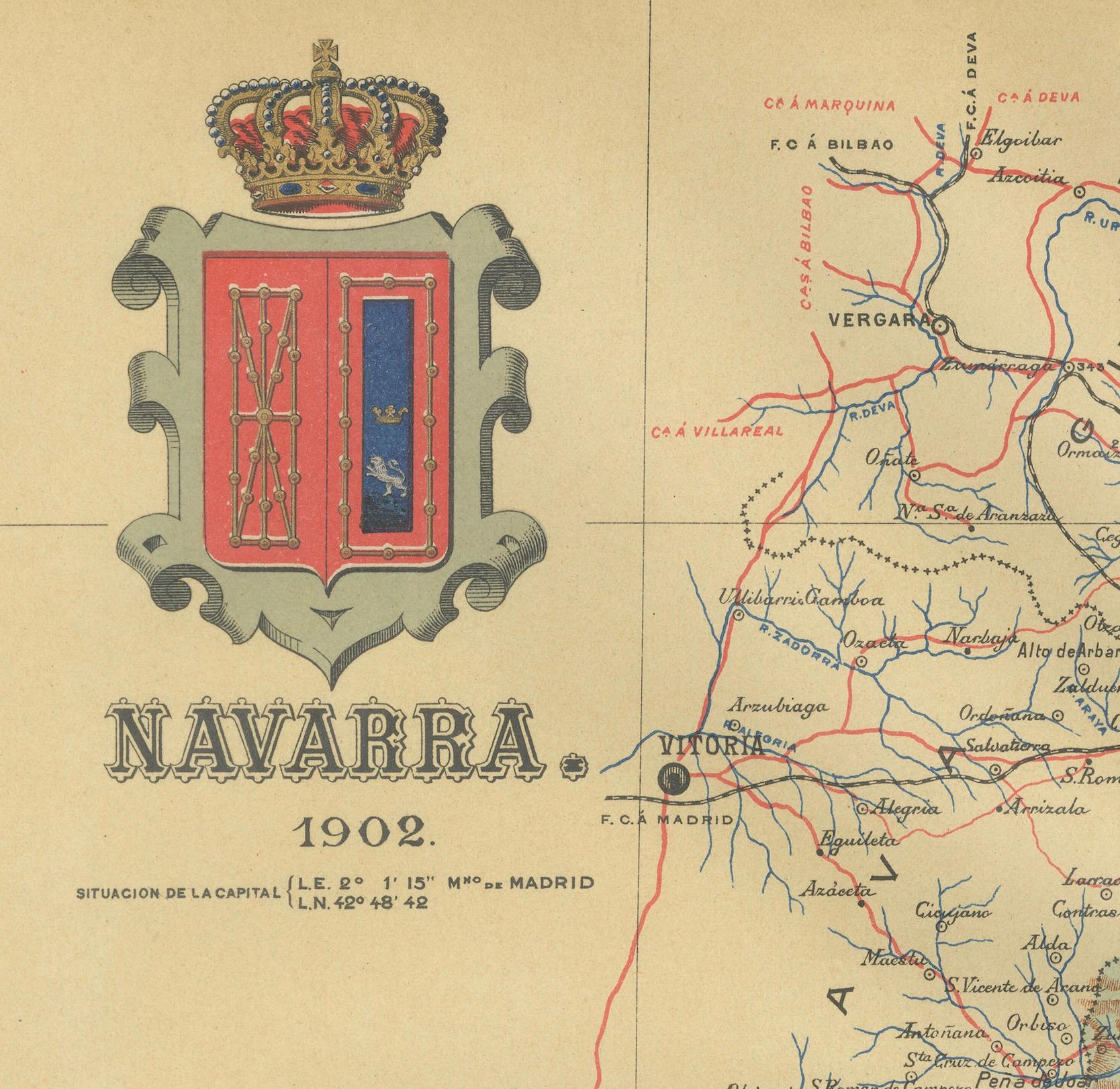
The original antique map for sale shows the Spanish province of Navarra as it was in 1902. Here's a brief description and a potential title for the map: - The map details the topography, roadways, and rail lines of Navarra. - Geographic features, such as mountains and rivers, are colored and contoured, indicating varied elevation and terrain. - Red lines mark the railways, and thicker red lines denote major roads, reflecting the transportation network of the era. - Populated places such as towns and cities are labeled, showing the urban landscape. - The boundary of Navarra is outlined, demarcating it from neighboring provinces and France to the north. - The map includes a scale of kilometers for distance measurement, a legend (Signos Convencionales), and the coat of arms of Navarra featuring the chains from the historic Kingdom of Navarre.
About Navarra: Navarra is a region known for its rich history, including its former status as an independent kingdom. The province is characterized by diverse landscapes, from the Pyrenees mountains in the north to the Ebro river valley in the south. It is home to the famous San Fermín festival in Pamplona, where the running of the bulls takes place. The region has a unique cultural identity, with a strong Basque influence in the north. Navarra has been known for its agricultural produce, including vineyards producing renowned wines.