Orense in Depth: A 1902 Topographical Map of Galicia's Mountainous Province
€ 310
Original antique · The actual sheet photographed · Certificate of authenticity on request · Sold unframed · Worldwide shipping from € 15 (rates)
Date
1902
Sheet size
37.5 × 51 cm (14.8 × 20.1 in)
Condition
Good
Reference
BG-13642-31
What the condition grades mean
Excellent
Bright and clean, with no faults worth mentioning.
Very good
Only light signs of age, such as faint toning.
Good
Normal signs of age for a sheet of this period: toning, some foxing, small marks or neat old repairs.
Fair
Clear faults such as staining, tears or repairs, priced to match.
Every fault we see is written in the condition note, and the whole sheet is shown uncropped in the photos.
Condition
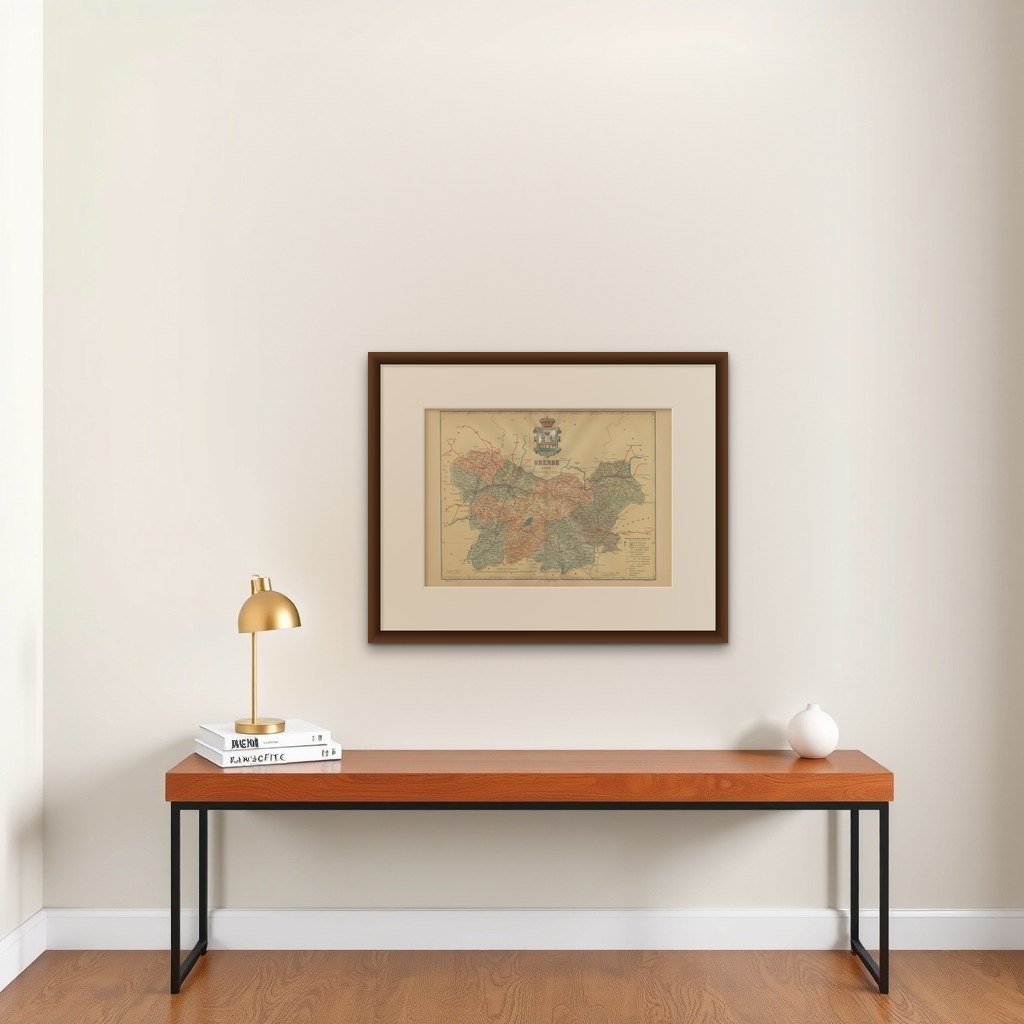
Good condition. Central vertical folding lines as issued. Aged paper with typically warm, yellowish-brown hue, especially around the edges. Two light folds in the top middle. Check the images carefully.
About this sheet
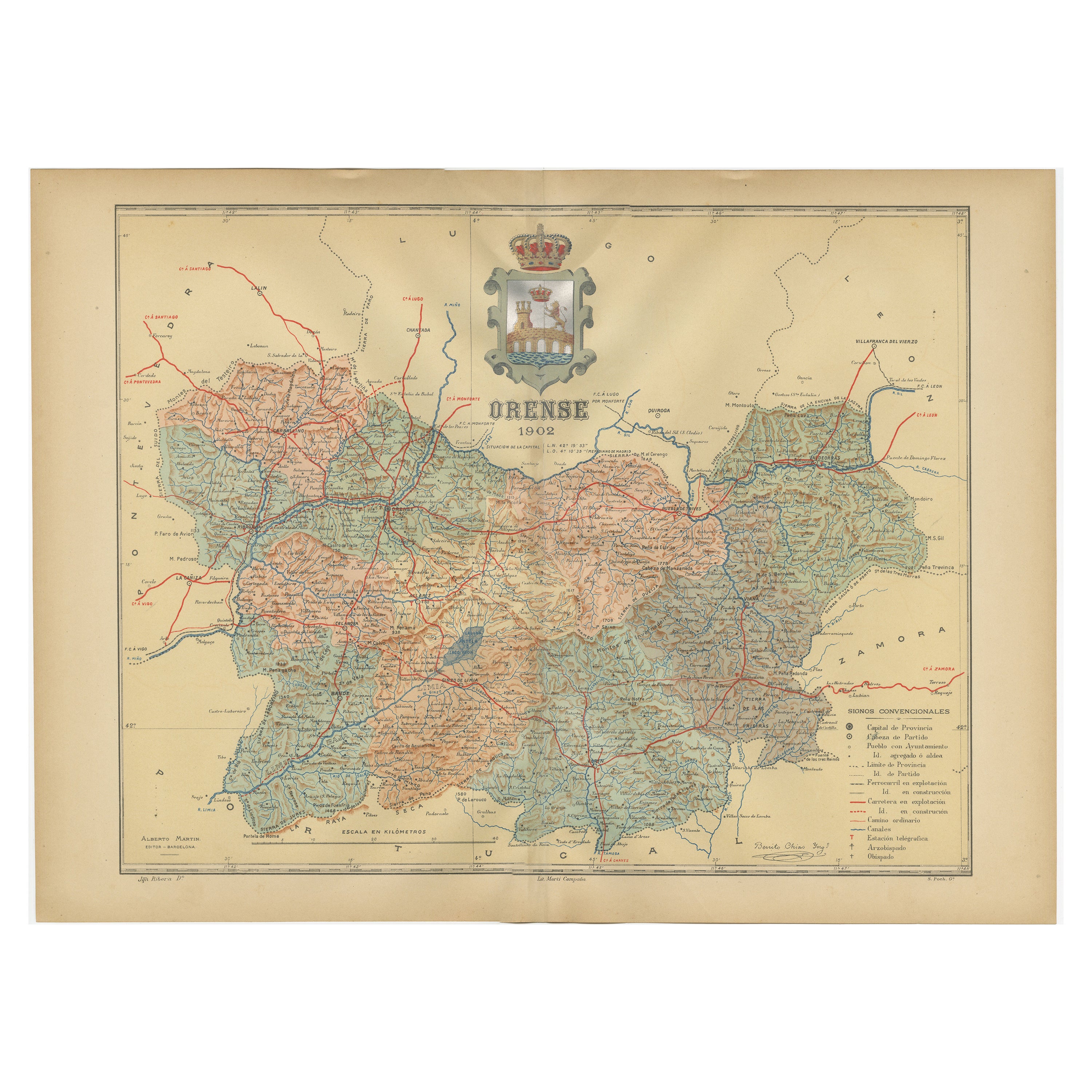
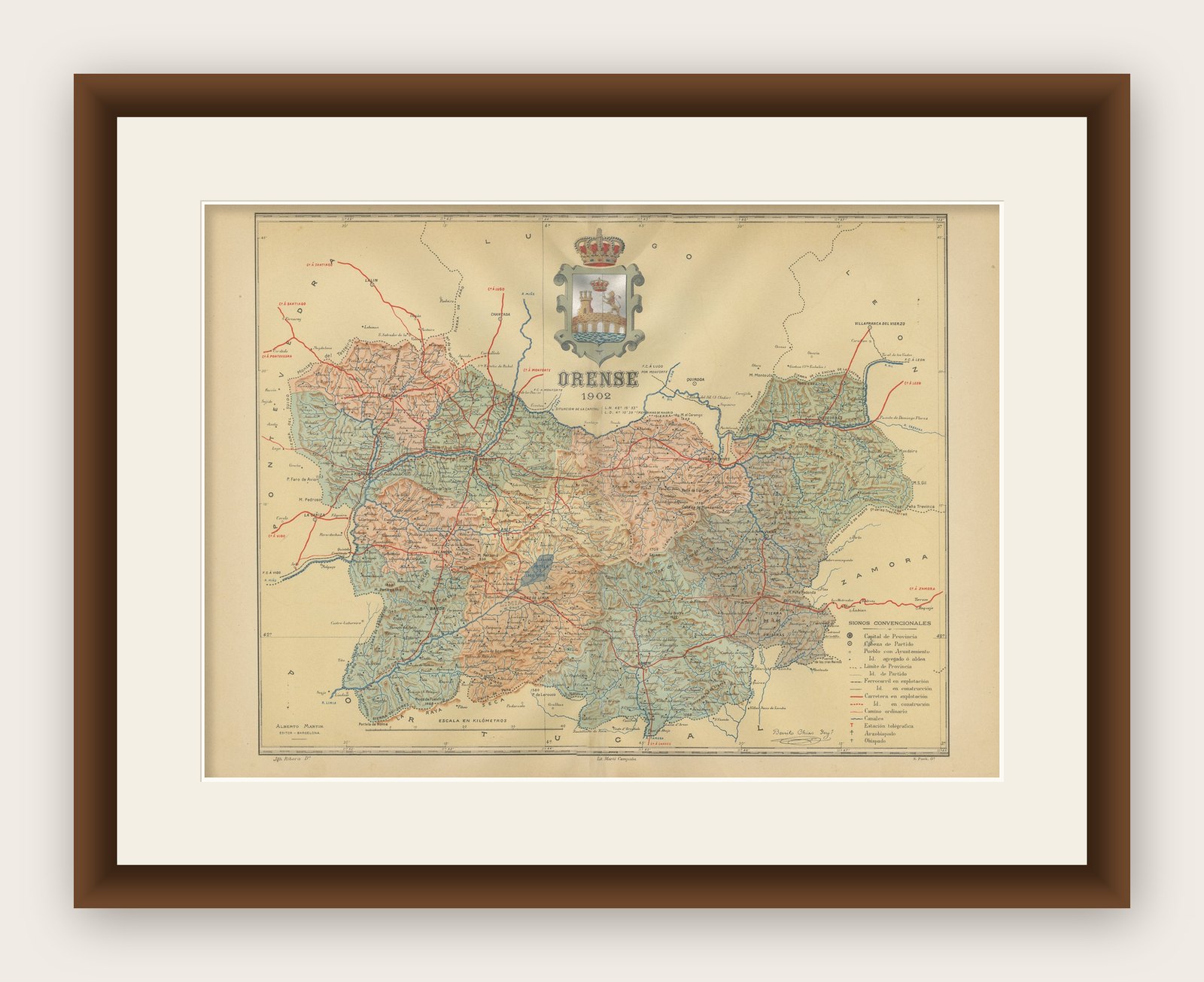
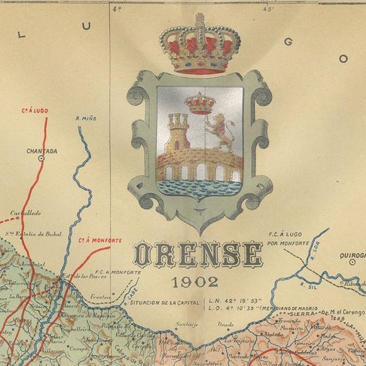
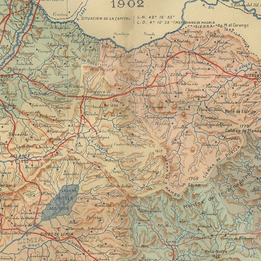
The map is a detailed cartographic representation of the province of Orense (Ourense in Galician), located in the northwest of Spain, as it was in 1902. - The map is a colorful, topographic illustration, highlighting the varied terrain of Orense with shading and contour lines. - Blue lines indicate water bodies like rivers and streams, while red lines depict railway lines, and thicker red lines seem to represent primary roads. - Populated areas, including cities, towns, and villages, are marked and named, showcasing the province's human settlements. - The map includes a distance scale in kilometers, aiding in the estimation of distances between various points. - The province's boundaries are outlined, distinguishing it from neighboring regions and countries. - A legend (Signos Convencionales) details the symbols used on the map, such as railway lines, roads, telegraph lines, etc. - The ornate coat of arms of Orense is prominently displayed, adding a heraldic touch to the cartography.
About Orense: Orense, known for its hot springs and thermal baths, is one of the four provinces of the autonomous community of Galicia. Its landscape is characterized by rugged terrain, with the Miño River running through it. The region has a rich Roman and medieval history, with numerous landmarks that reflect its past. The province is also known for its vineyards and the production of Ribeiro wines. The city of Ourense, the capital of the province, is a historical city with thermal baths that date back to Roman times.