About this sheet
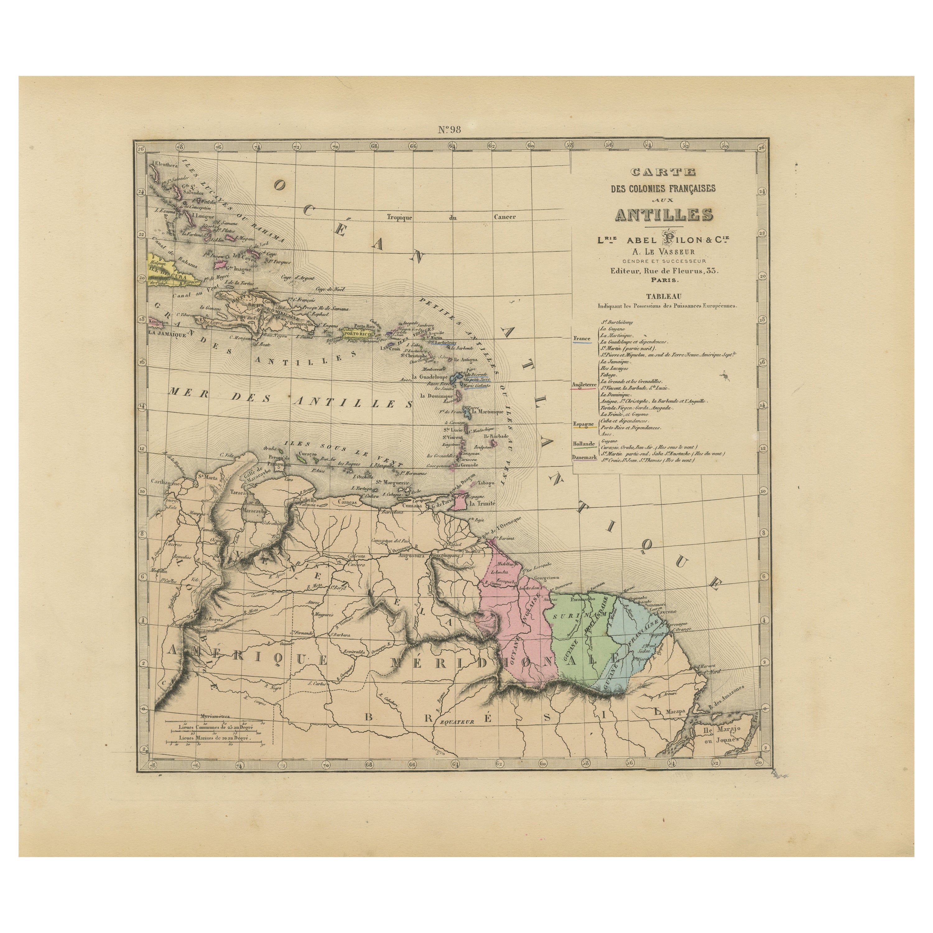
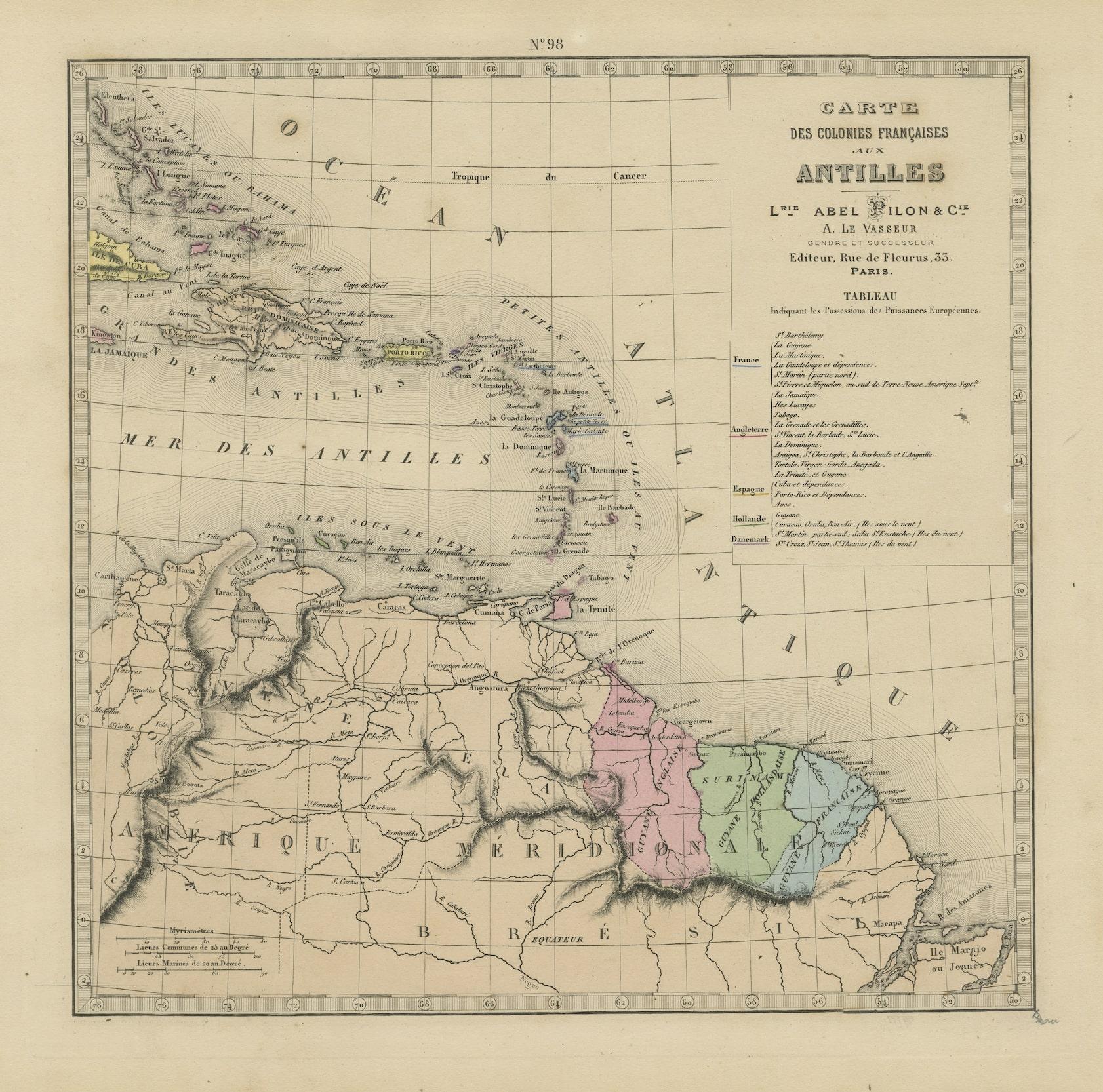
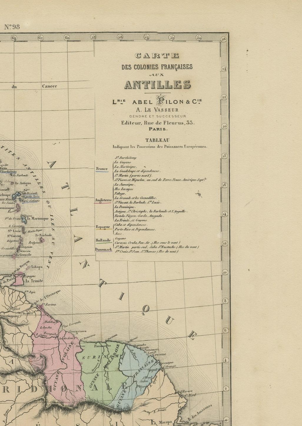
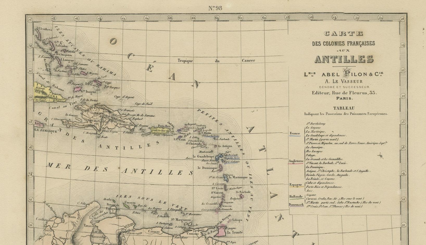
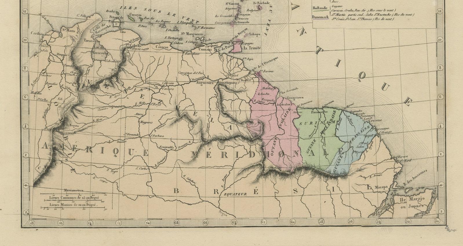
The 1876 map titled "Carte des Colonies Françaises aux Antilles" represents a significant contribution to cartography within the "Grand Atlas Départemental de la France de L'Algérie et des colonies" by H. Fisquet, published by A. Le Vasseur in Paris.
**Title:** Carte des Colonies Françaises aux Antilles
**Artist/Cartographer/Engraver:** Librairie Abel Pilon & Cie; A. Le Vasseur
**Provenance:** "Grand Atlas Départemental de la France de L'Algérie et des colonies" by H. Fisquet; Published by A. Le Vasseur, Paris [Grand atlas départemental]
**Type:** Antique engraved map with original hand coloring
This map is a significant representation of the French colonies in the West Indies during the late 19th century. Its inclusion in the larger "Grand Atlas Départemental" indicates its importance within a comprehensive collection of maps detailing the territories under French governance, including Algeria and the colonies.
Attributed to Librairie Abel Pilon & Cie and A. Le Vasseur, this antique engraved map features original hand coloring, highlighting geographical aspects and delineating between different territories, administrative boundaries, and natural features within the French Antilles.
Maps of this nature provide invaluable insights into the historical and geographical landscape of the French colonies in the West Indies during the 19th century. They serve as vital historical artifacts, offering a visual representation of political and geographical boundaries, cultural connections, and the colonial presence in the Caribbean during that period.
The French Colonies in the West Indies typically referred to several Caribbean islands and territories under French control during various periods of history. The main islands and regions that constituted the French West Indies included:
1. **Guadeloupe:** Comprising several islands, the main ones being Basse-Terre and Grande-Terre.
2. **Martinique:** A major island in the eastern Caribbean.
3. **Saint Martin:** The northern part of this island is under French control (the southern part, Sint Maarten, is Dutch).
4. **Saint Barthélemy:** Often referred to as St. Barts, a smaller island in the Caribbean.
5. **French Guiana:** Although located on the South American continent, it's considered part of the French West Indies due to its historical ties and its inclusion in the French Caribbean overseas departments.
6. **Saint Lucia:** Briefly held by the French at certain points in history, though it was predominantly British.
These territories, along with other smaller islands and dependencies, constituted the major French possessions in the West Indies. They were significant due to their economic contributions, primarily through sugarcane and other agricultural productions, as well as their strategic importance during periods of colonial competition between European powers in the Caribbean region.
VERSO: There is nothing printed on the reverse side, which is plain
AUTHENTICITY: This is an authentic historic print, published at the date stated above. I do not offer reproductions. It is not a modern copy. The term 'original' when applied to a print means that it was printed at the first or original date of publication; it does not imply that the item is unique. 'Print' means any image created by applying an inked block to paper or card under pressure by any method including wood engraving, steel engraving, copperplate, wood cut and lithography.