maps-prints.com
✦
Black Friday Sale
Friday 20 to Monday 30 November: up to 30% off original antique maps and prints
The terms
- Up to 30% off selected original antique maps and prints. Every piece is an original, printed in its own time; none is a reproduction.
- The sale runs from Friday 20 November to Monday 30 November. Sale prices shown here apply from Friday 20 November; until then pieces are sold at their regular price.
- Free FedEx shipping on qualifying orders placed on our own websites: USA, Canada, UK and Europe over $500 / €450; rest of the world over $750 / €675. Smaller orders pay our normal shipping rate.
- Orders placed from 15 to 30 November ship from 1 December, in time for Christmas. Our shipping partner is InXpress.
- Each piece is unique, so the sale is while stock lasts.
Collection:AllAmericanSea chartsMilitaryNatural historyFashionArchitectureBotanicalSacredEast Indies
Sale prices apply from Friday 20 November. Save the pieces you like with the heart and come back on Friday.
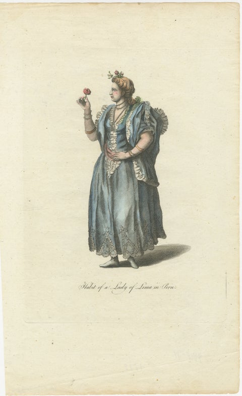 Original Antique Costume Print "Habit of a Lady of Lima in Peru", 1779
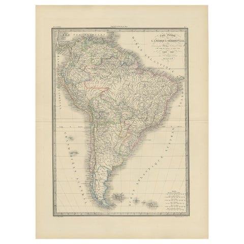 Antique Map of South America by Lapie '1842'
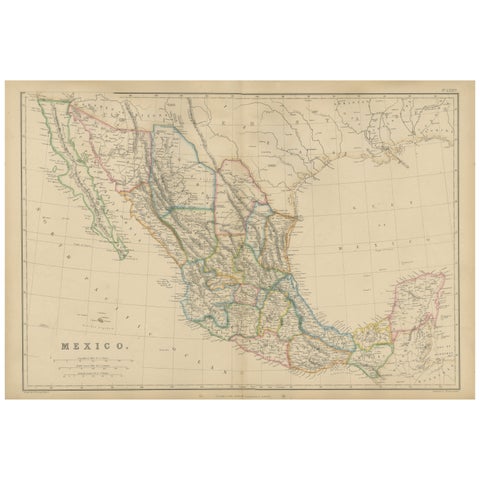 Mexico, Antique Map, Central America and Gulf of Mexico, Blackie Atlas 1860
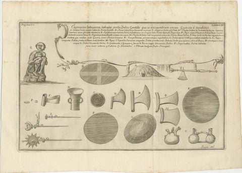 Antique Engraving of Inca Antiquities from Peru by Jorge Juan & Ulloa, 1748
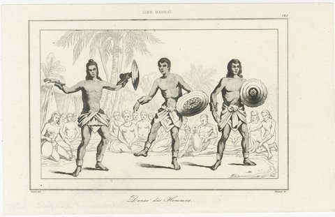 Three Antique Hawaii Engravings – Hula Dance, Native Ceremony & Lamentation 1836
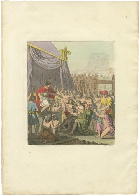 Original Antique Hand-Coloured Engraving of Mayta Capac's Clemency, Peru, c.1821
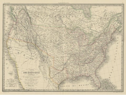 Antique Map of the United States by Pierre M. Lapie, Wall Art, 1842
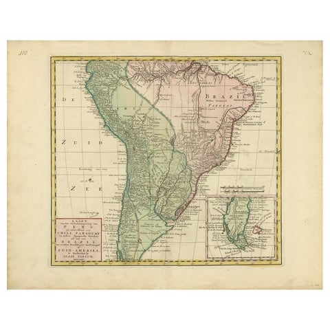 Antique Map of South America by Tirion, c.1765
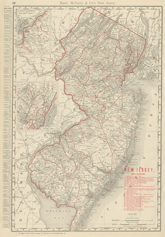 Antique Map of New Jersey, The Garden State, Rand McNally, 1899
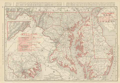 Antique Map of Maryland and Delaware, with Baltimore Inset, Rand McNally, 1899
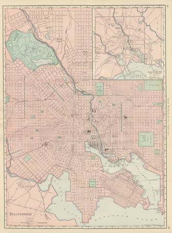 Antique Map of Baltimore, with Druid Hill Park, Rand McNally, 1899
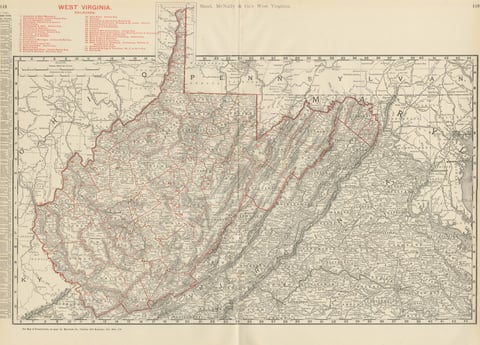 Antique Map of West Virginia, The Mountain State, Rand McNally, 1899
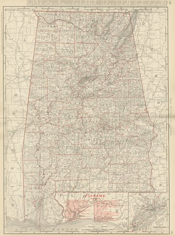 Antique Map of Alabama, The Yellowhammer State, Rand McNally, 1899
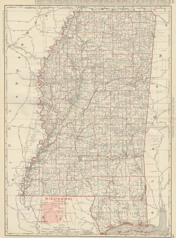 Antique Map of Mississippi, The Magnolia State, Rand McNally, 1899
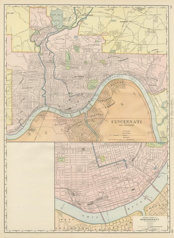 Antique Map of Cincinnati, The Queen City, Rand McNally, 1899
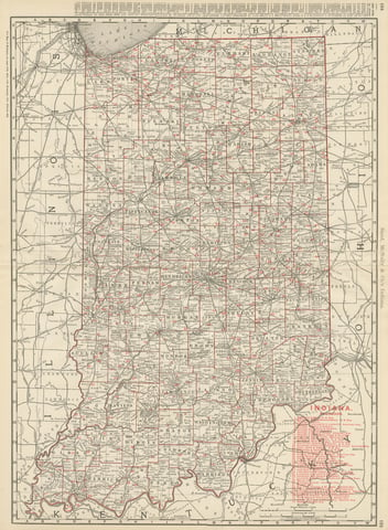 Antique Map of Indiana, The Hoosier State, Rand McNally, 1899
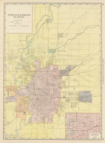 Antique Map of Indianapolis, The Circle City, Rand McNally, 1899
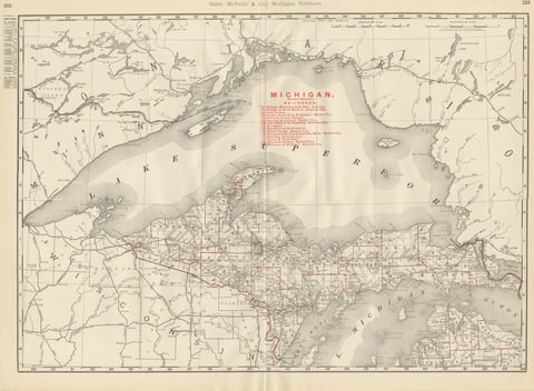 Antique Map of Northern Michigan and Lake Superior, Copper Country, 1899
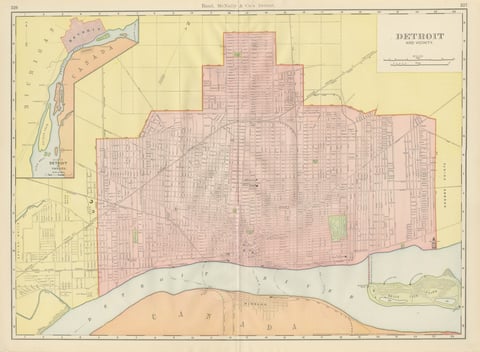 Antique Map of Detroit, with Belle Isle Park, Rand McNally, 1899
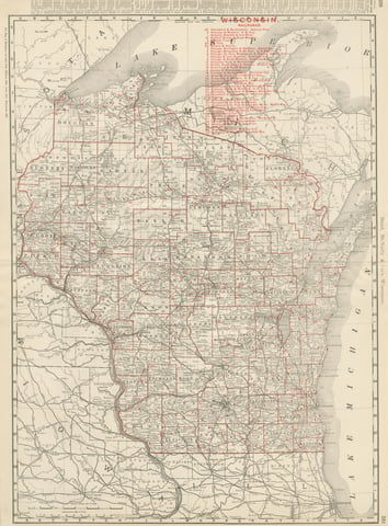 Antique Map of Wisconsin, The Badger State, Rand McNally, 1899
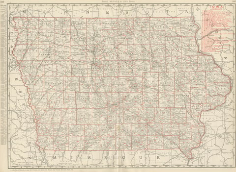 Antique Map of Iowa, The Hawkeye State, Rand McNally, 1899
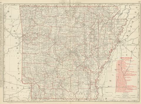 Antique Map of Arkansas, with Hot Springs, Rand McNally, 1899
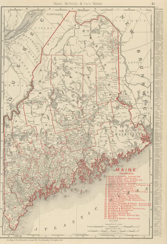 Antique Map of Maine, The Pine Tree State, Rand McNally, 1899
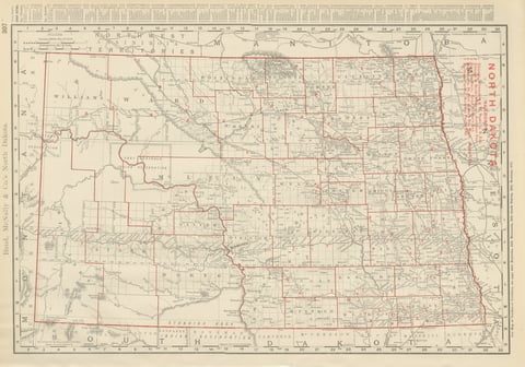 Antique Map of North Dakota, with Fort Berthold Reservation, Rand McNally, 1899
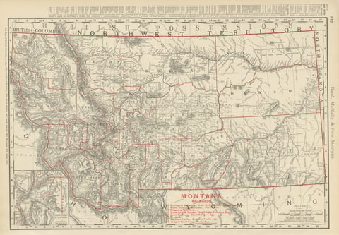 Antique Map of Montana, The Treasure State, Rand McNally, 1899
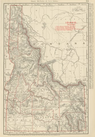 Antique Map of Idaho, The Gem State, Rand McNally, 1899
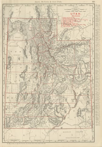 Antique Map of Utah, The Beehive State, Rand McNally, 1899
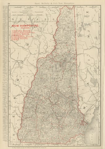 Antique Map of New Hampshire, The Granite State, Rand McNally, 1899
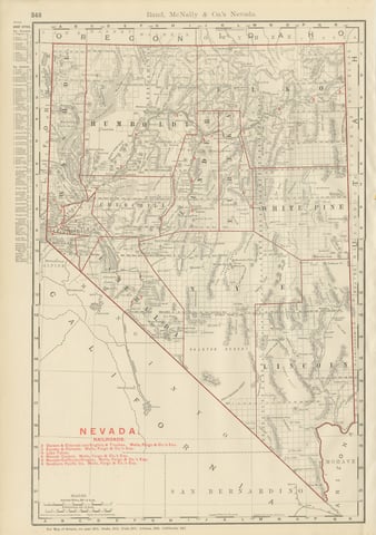 Antique Map of Nevada, The Silver State, Rand McNally, 1899
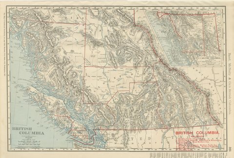 Antique Map of British Columbia, with Queen Charlotte Islands, 1899
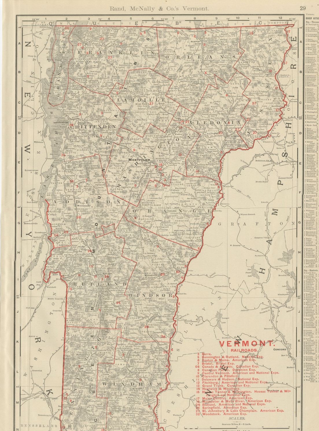 Antique Map of Vermont, The Green Mountain State, Rand McNally, 1899
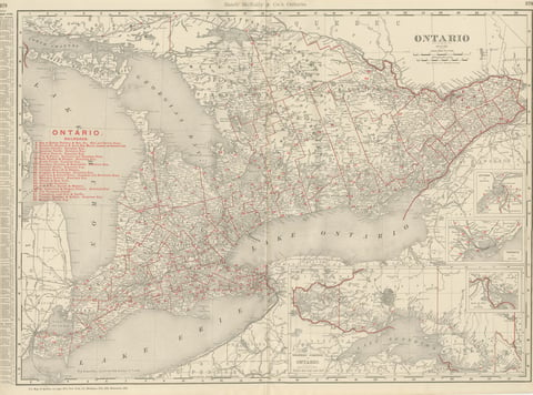 Antique Map of Ontario, with Toronto and Ottawa Insets, Rand McNally, 1899
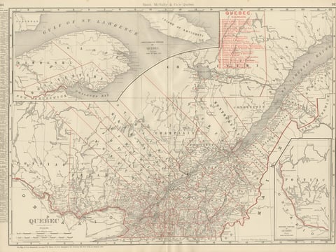 Antique Map of Quebec, with Gaspé Inset, Rand McNally, 1899
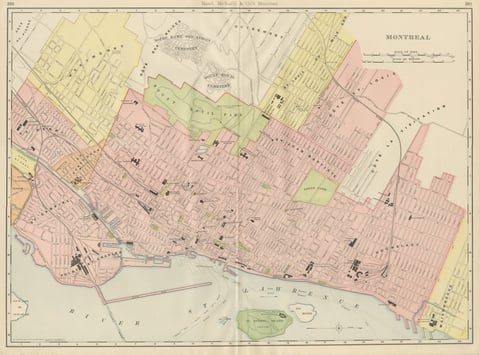 Antique Map of Montreal, with Mount Royal Park, Rand McNally, 1899
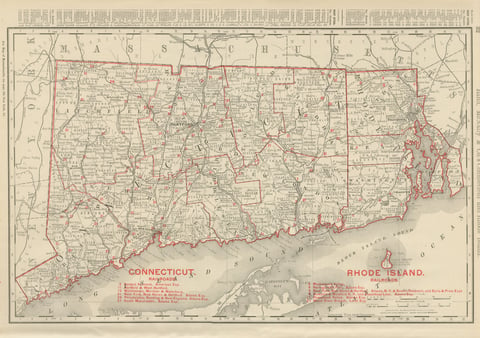 Antique Map of Connecticut and Rhode Island, with Narragansett Bay, 1899
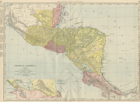 Antique Map of Central America, with Proposed Nicaragua Canal, 1899
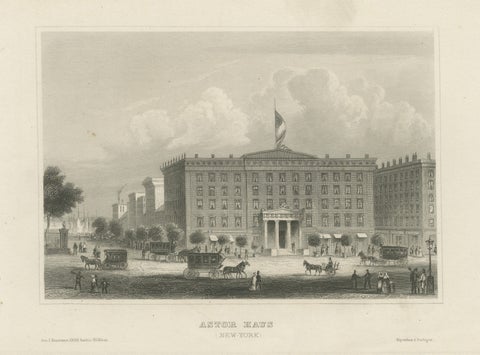 Astor House New York – Antique Broadway Hotel Steel Engraving 1850s
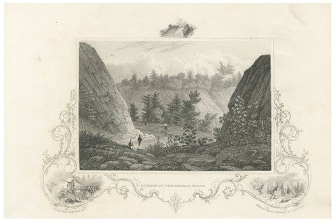 Passaic Falls Antique Engraving, New Jersey Landscape, c.1830
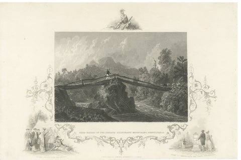 Juniata Alleghany Mountains - Antique Engraving, Pennsylvania View, ca.1830
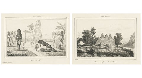 Ancient Hawaiian Temples & Royal Sacred Sites – Pair of Small Engravings, 1836
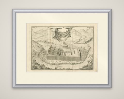 Original Antique Engraving of an Inca Palace in Peru by Jorge Juan & Ulloa, 1748
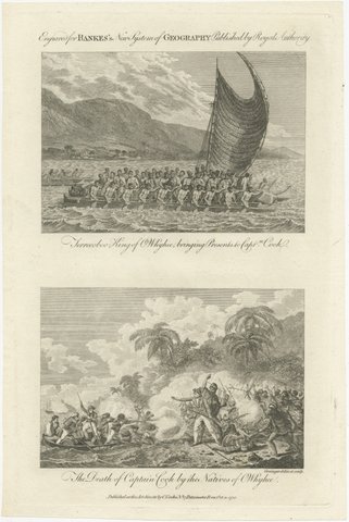 Captain Cook Hawaii Engravings, Death & Royal Encounter, Owhyhee, c.1788
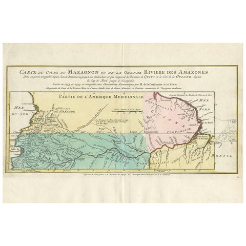 Antique Map of the Course of the Amazon River by E. Van Harrevelt, 1773
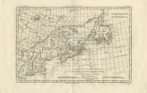 Antique Map of Canada, Newfoundland & Acadia — Gulf of St Lawrence, Bonne c.1780
Sharing the sale? Download the Black Friday banners.