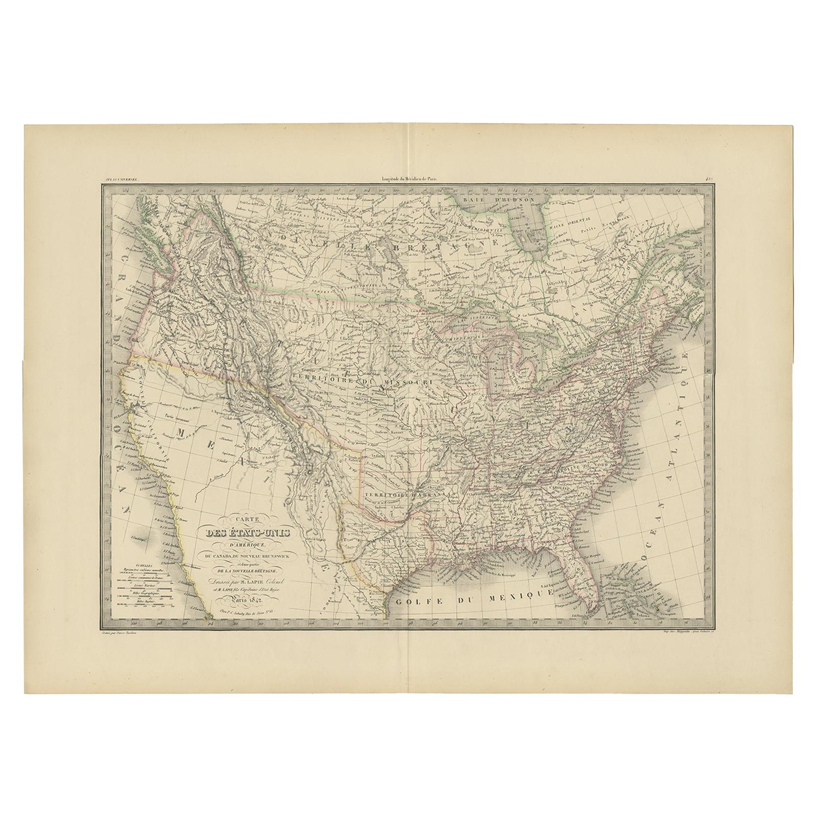
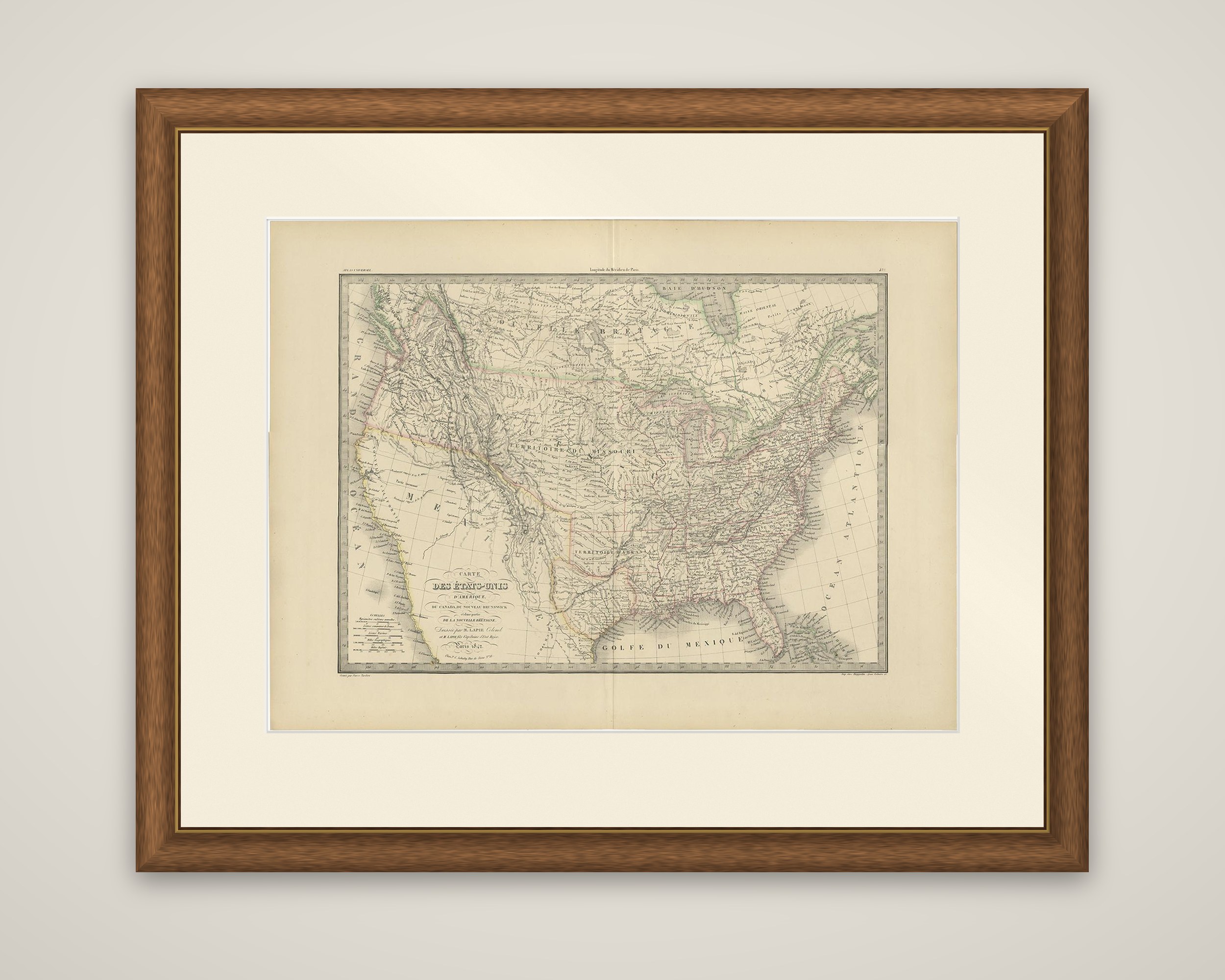
Antique Map of the United States by Pierre M. Lapie, Wall Art, 1842
€ 363
Original antique · The actual sheet photographed · Certificate of authenticity on request · Sold unframed · Worldwide shipping from € 15 (rates)
Date
1842
Sheet size
50.5 × 68 cm (19.9 × 26.8 in)
Condition
Good
Reference
BG-12338-43
What the condition grades mean
Excellent
Bright and clean, with no faults worth mentioning.
Very good
Only light signs of age, such as faint toning.
Good
Normal signs of age for a sheet of this period: toning, some foxing, small marks or neat old repairs.
Fair
Clear faults such as staining, tears or repairs, priced to match.
Every fault we see is written in the condition note, and the whole sheet is shown uncropped in the photos.
Condition
General age-related toning, original folding line. Blank verso. Please review the images for further condition details.
About this sheet
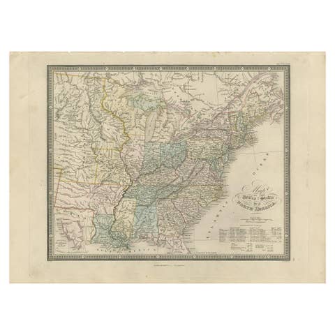
The United States, an original engraved map titled "Carte des Etats-Unis d'Amerique", from the Atlas universel de geographie ancienne et moderne by Pierre M. Lapie and Alexandre E. Lapie, printed at Paris and dated 1842. State and territorial boundaries are outlined in color by hand.
The map covers the country from the Atlantic seaboard to the Pacific coast, together with parts of Canada, New Brunswick and the British possessions to the north, as the subtitle states. The settled eastern states are densely lettered with towns, rivers and counties, while the vast western interior is largely open space with the Rocky Mountains drawn as ranges and large territories named across it, among them the "Territoire du Missouri". Texas lies along the Gulf of Mexico, and the Pacific coast of California and Oregon is lettered "Grand Ocean". Hudson Bay appears at the top, and the Great Lakes sit along the northern border. The title is placed at the lower left in a decorative script block, with a scale panel beside it.
Pierre M. Lapie was a French cartographer and engraver, and his son Alexandre Emile Lapie worked with him.